Nearby
📍 Location Details
Latitude:
Longitude:
Accuracy:
Updated:
0 km
100 km
Path
km
-
km
m
m
Hike Type
Round trip
Circular
Crossing
Partially circular
Recommended Period
All
Climbing
Hiking
Mountain bike
Mountaineering
Ski-mountaineering
Trekking
Snowshoeing
Via ferrata

Edited by:
Mario Pin
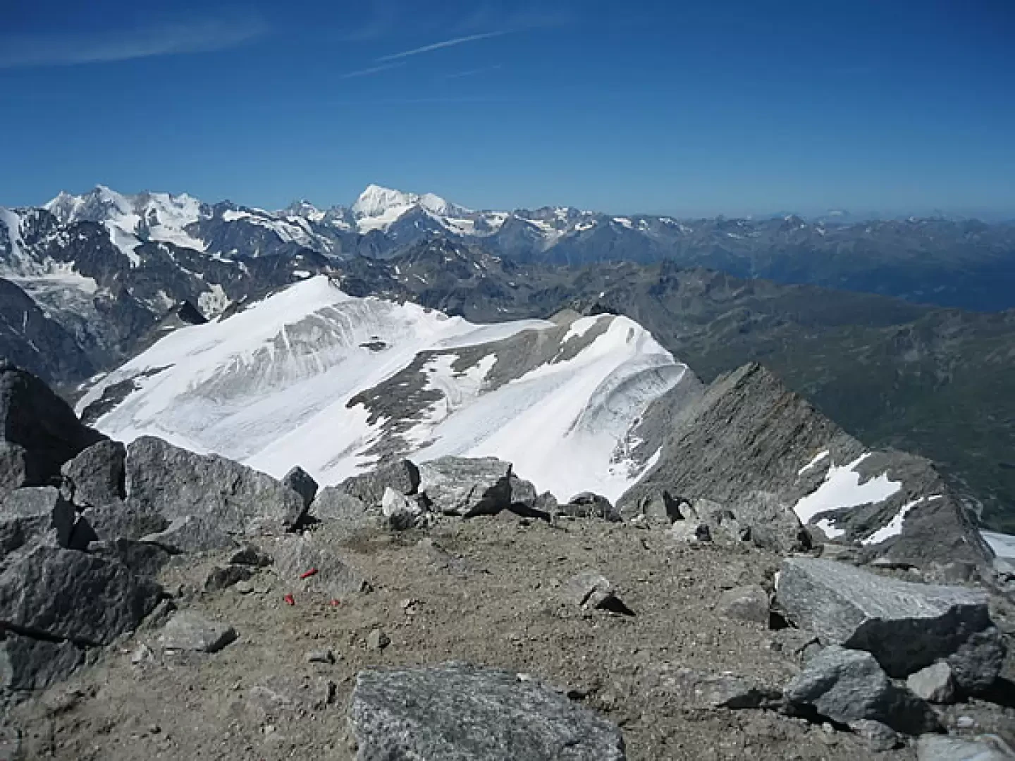
Monte Leone, via normale dall’Ospizio del Sempione
Bellissima gita, dal percorso relativamente facile ma faticoso,
meravigliosa panoramica sulle alpi Svizzere e Italiane.odifica: 24.08.07
Monte Leone (3553 m)...
F
15.01 Km
1743 m

Edited by:
ansel
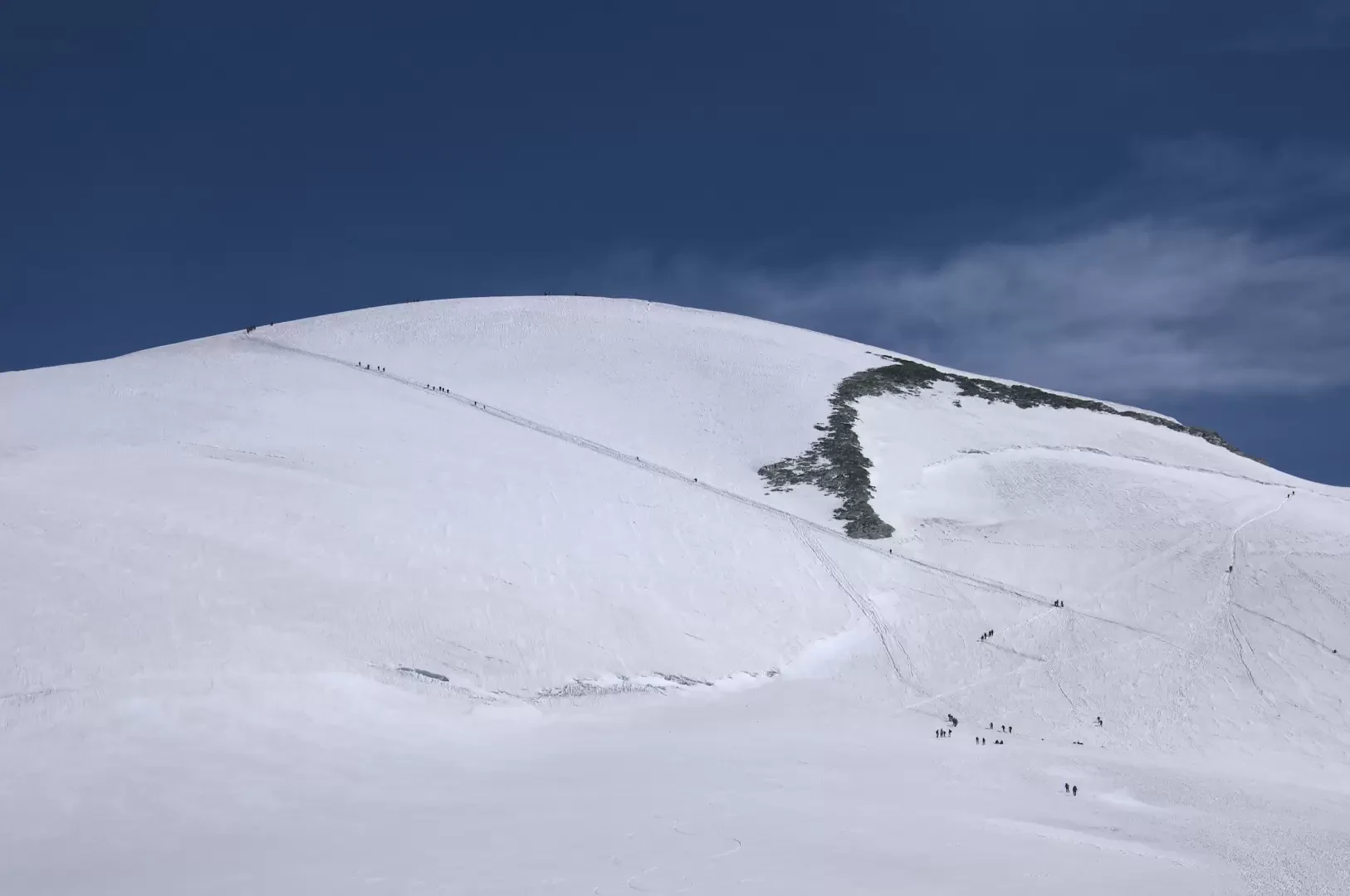
Breithorn occidentale, da Breuil-Cervinia
Il Breithorn Occidentale data la sua vicinanza al Plateau Rosa viene spesso salito in una giornata partendo da Cervinia con...
F
28.84 Km
2178 m

Edited by:
Giancarlo Beretta
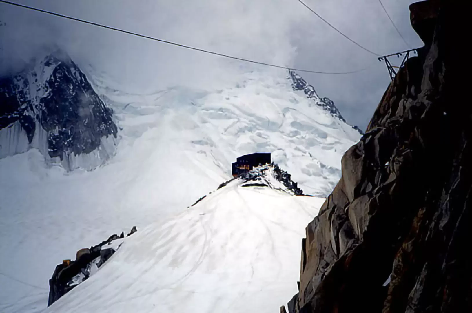
Aiguille du Midi–Arête des Cosmiques, from the Aiguille du Midi
A beautiful ridge with no objective hazards. The ascent can also be completed as a day trip by taking one...
D
0.00 Km
310 m
Edited by:
Giancarlo Beretta
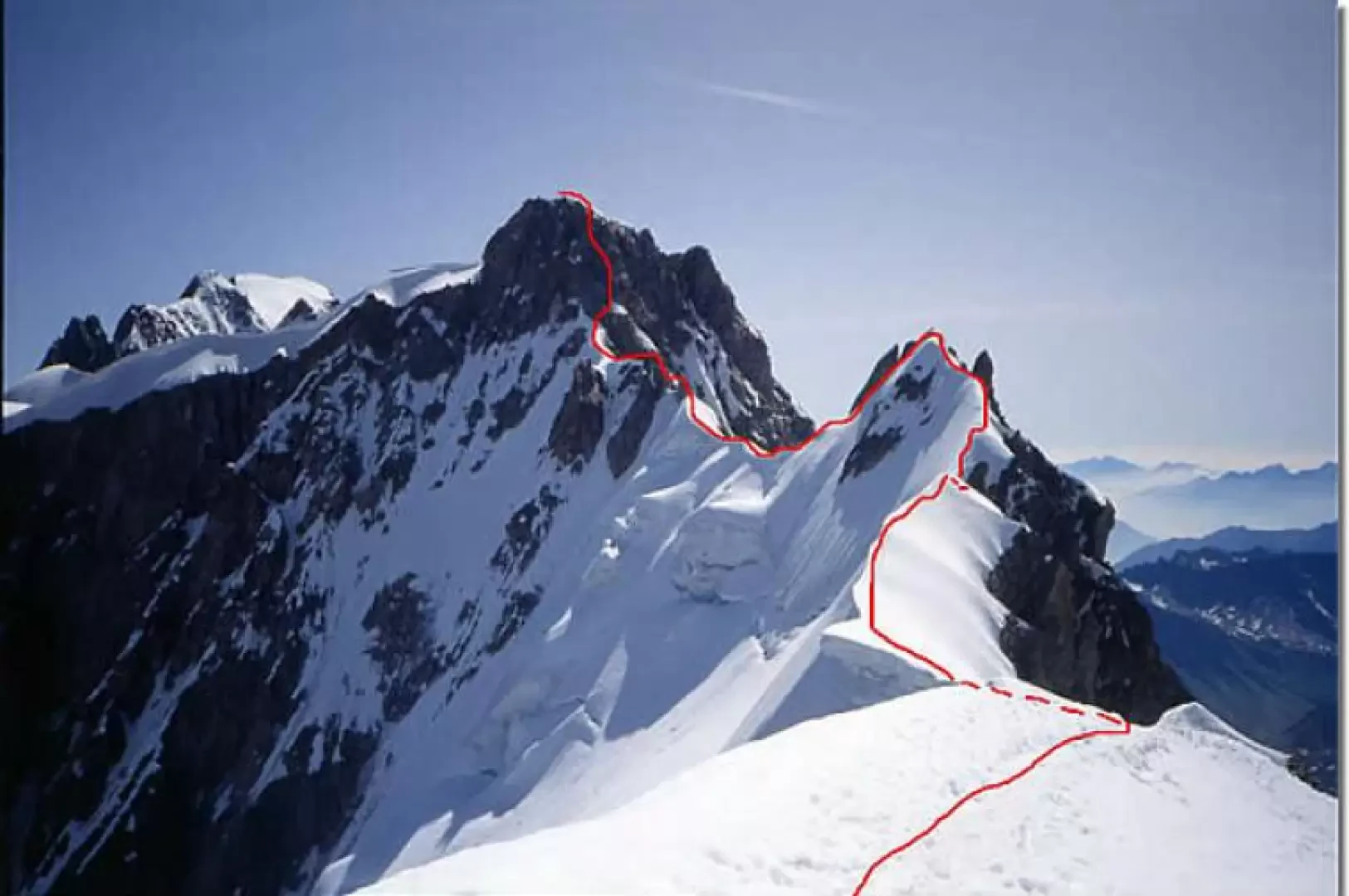
Aiguille de Rochefort, dal Rifugio Torino
L'itinerario è una parte dell'aerea cresta, abbastanza frequentata proprio fino all'Aiguille de Rochefort, che collega la base (“gengiva”) del Dente...
AD
0.00 Km
626 m
Edited by:
Giancarlo Beretta
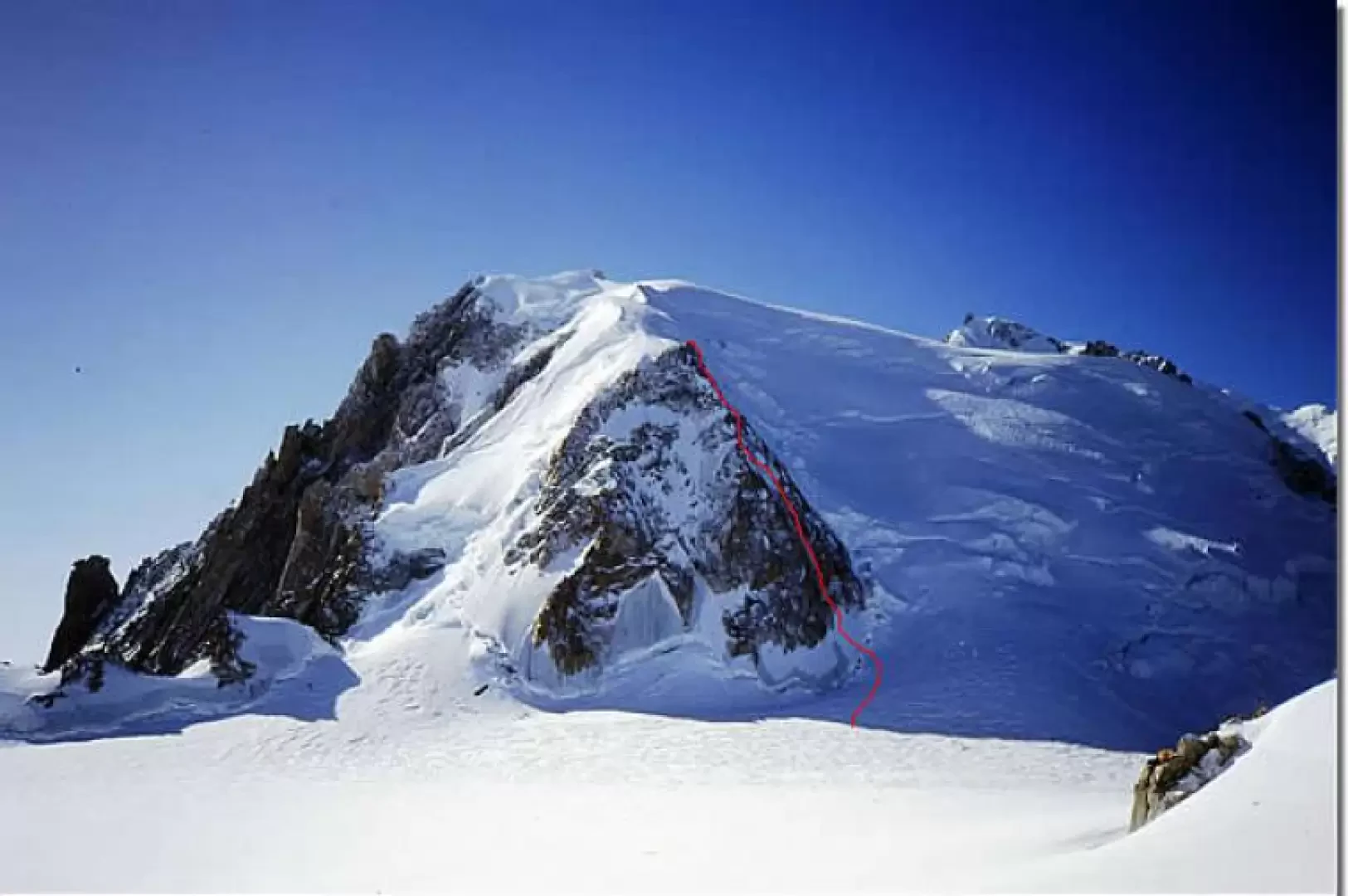
Mont Blanc du Tacul, Goulotte Chèré, from the Aiguille du Midi
Approximately 200 m high Gola Ghiacciata located to the right of the north-west pillar. Very beautiful and athletic ascent on...
D
0.00 Km
716 m

Edited by:
Maurizio Bergamini
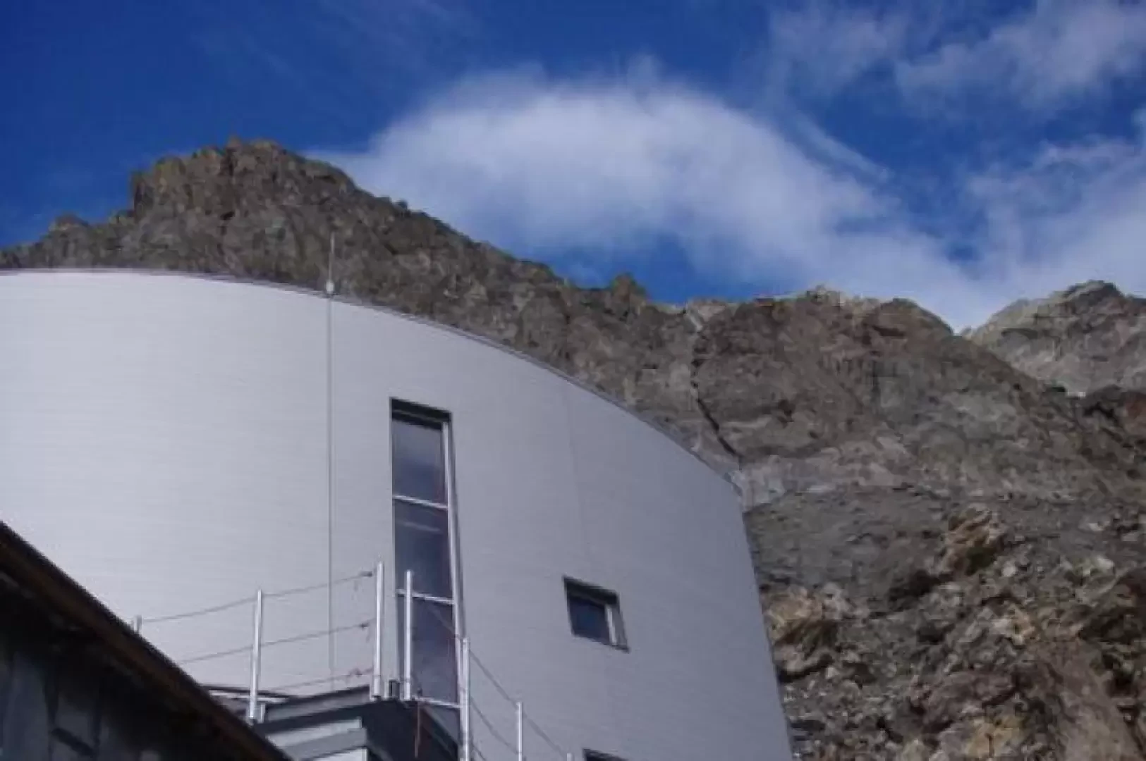
Gonella Refuge, from La Visaille
We propose the first of the two solutions below, which includes an intermediate stage at Lake Marmotte (which no longer...
F-
0.00 Km
1412 m
Edited by:
Giancarlo Beretta
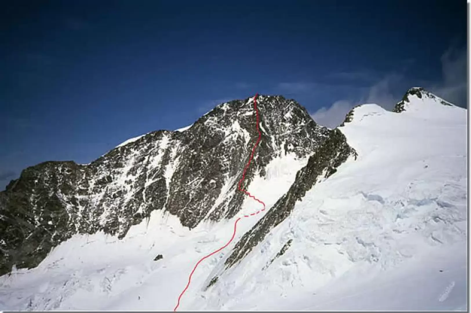
Punta Dufour, Rey Ridge
The Punta Dufour is the highest elevation of the Monte Rosa group and is located in Swiss territory. The broad...
AD
0.00 Km
1383 m
Edited by:
Giancarlo Beretta
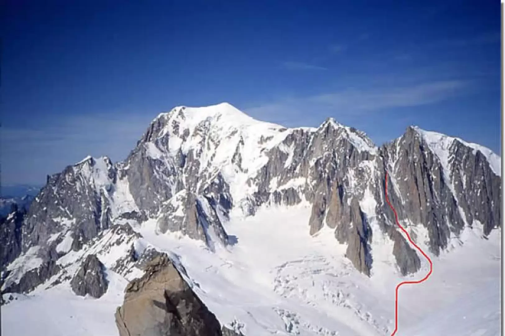
Mont Blanc du Tacul, Goulotte Lafaille
This is the icy gully located between the ridge that bounds the Couloir du Diable to the south and the...
D
0.00 Km
525 m


Edited by:
capt.crash
Dent d'Hérens, from the Aosta Refuge
A stupendous 4000 m peak, unjustly overshadowed by the presence of its big sister the Gran Becca at such a...
AD
0.00 Km
1390 m

Edited by:
Massimo Martini
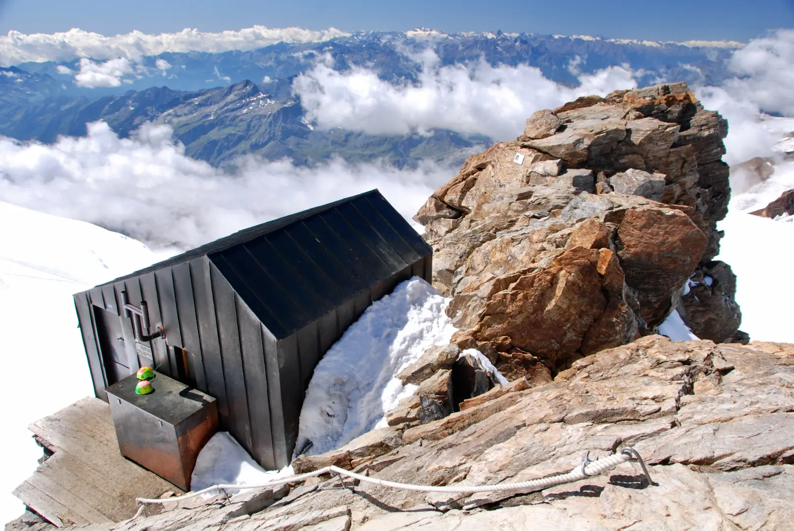
Bivacco Giordano
Una meta sopra i quattromila di non eccessiva difficoltà. Giungere al Balmenhorn e all'attiguo Bivacco Giordano è da considerare come...
F+
5.68 Km
720 m
Edited by:
Giancarlo Beretta
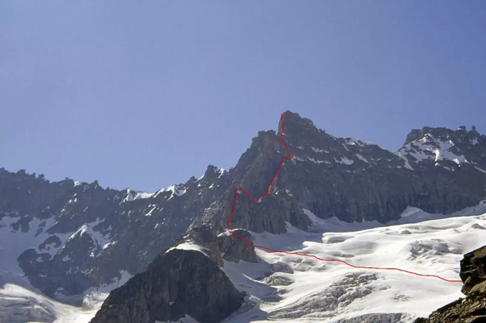
Aiguille Savoie, from the Dalmazzi Refuge
Beautiful mountain, albeit of modest proportions, whose long south-east ridge, steep below the summit, juts out towards the Triolet Glacier....
AD
0.00 Km
Edited by:
Giancarlo Beretta
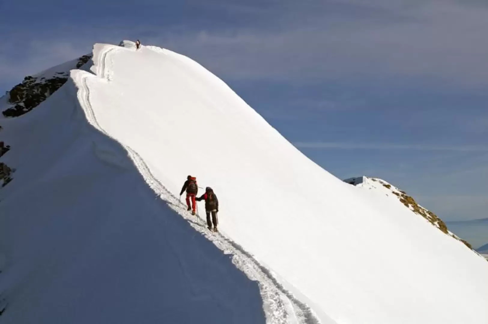
Castor, from Staffal
The ascent to the Castore is a mountaineering classic and consequently very popular: without any particular technical difficulties, however, it...
F+
0.00 Km
1497 m
Loading more...