Search
Category
Tags
Nearby
Location:
Latitude:
Longitude:
0 km
100 km
global.path
km
-
km
m
m
Hike Type
Difficulty
All
Climbing
Hiking
Mountain bike
Mountaineering
Ski-mountaineering
Trekking
Snowshoeing
Via ferrata
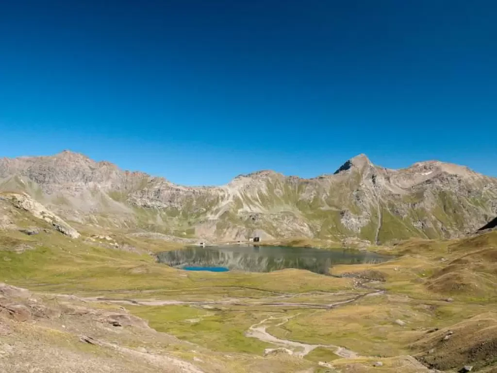
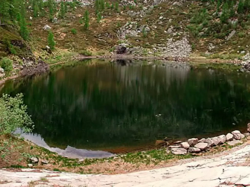
Lake Miserin, from the Dondena car park on path 7B
Lake Miserin has always been one of the most popular excursion destinations in the Aosta Valley. A beautiful lake framed...
T2
8.00 Km
487 m
Col Moutsaillon, from Dondena
The hike to Col Moutsaillon (2853m) is an itinerary that crosses the picturesque Champorcher Valley, a fascinating corner of the...
T2
11.59 Km
741 m
Col Laris, from the Dondena car park
Alternative route in the upper Champorcher valley, suitable for those who already know the area around Lake Miserin and want...
T2
12.07 Km
631 m
Col Fussy, from the Dondena car park
La Valle di Champorcher, con i suoi paesaggi selvaggi e la lunga tradizione escursionistica, offre un itinerario affascinante, spesso abbinato...
13.17 Km
806 m
Col Fénis, from the Dondena car park
The Col Fénis separates the wide Champorcher valley from the Vallon de Clavalité. It is a pass that is not...
T2
14.10 Km
746 m
Rosa dei Banchi, from the Dondena car park
A wide-ranging hike in the beautiful upper Champorcher valley, beyond Dondena, amidst broad meadows unfortunately disturbed by high voltage pylons....
F
13.48 Km
1061 m
Ivery, from Piazza IV Novembre to Pont-Saint-Martin
Interesting itinerary at the entrance to the Aosta Valley. Along the way, you can breathe in the air of the...
T2
3.12 Km
341 m
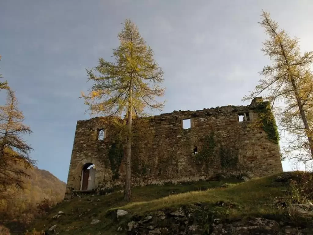
Suzey Castle, from IV November Square in Pont-Saint-Martin
A round trip itinerary that takes in the hillsides at the entrance to the Valle d'Aosta, starting from the village...
T2
4.97 Km
505 m
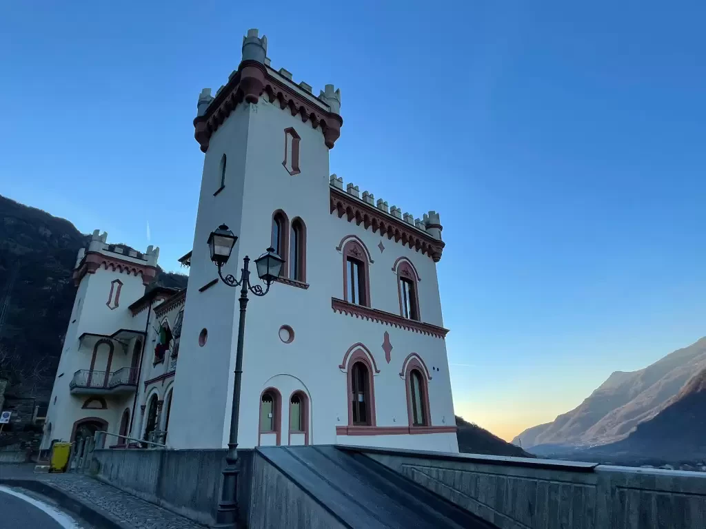
Baraing Castle, ring from Piazza IV Novembre to Pont-Saint-Martin
The urban itinerary to discover Pont-Saint-Martin. The short route allows the hiker to explore the town centre of the municipality...
T2
1.20 Km
52 m
Mandaz, from Cotetta
Mandaz is a succession of innumerable groups of houses, some still in good condition; there is a school dating from...
T2
0.00 Km
1002 m
Loading more...
