Massimo Martini
Wrote 495 reports, for a total distance of 353,23Km up and a total elevation gain of 306,25Km and 2.866 hours of walking
Active filters:
User: 3
Showing 496 results
with active filters
Loading...
Lake Miserin, from the Dondena car park on path 7B
Lake Miserin has always been one of the most popular excursion destinations in the Aosta Valley. A beautiful lake framed...
T2
8.00 Km
487 m
Col Moutsaillon, from Dondena
The hike to Col Moutsaillon (2853m) is an itinerary that crosses the picturesque Champorcher Valley, a fascinating corner of the...
T2
11.59 Km
741 m
Col Fussy, from the Dondena car park
La Valle di Champorcher, con i suoi paesaggi selvaggi e la lunga tradizione escursionistica, offre un itinerario affascinante, spesso abbinato...
13.17 Km
806 m
Col Fénis, from the Dondena car park
The Col Fénis separates the wide Champorcher valley from the Vallon de Clavalité. It is a pass that is not...
T2
14.10 Km
746 m
Ivery, from Piazza IV Novembre to Pont-Saint-Martin
Interesting itinerary at the entrance to the Aosta Valley. Along the way, you can breathe in the air of the...
T2
3.12 Km
341 m
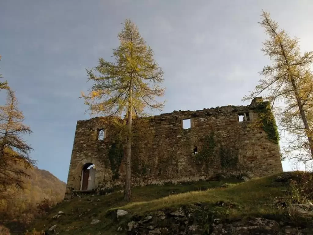
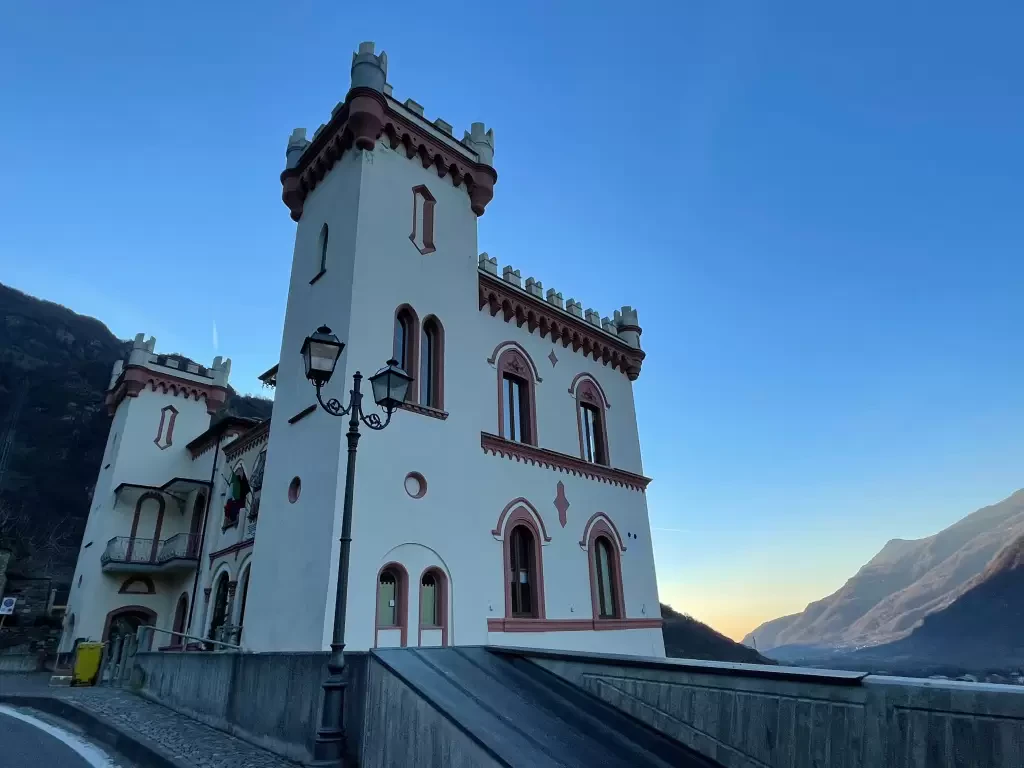
Suzey Castle, from IV November Square in Pont-Saint-Martin
A round trip itinerary that takes in the hillsides at the entrance to the Valle d'Aosta, starting from the village...
T2
4.97 Km
505 m
Baraing Castle, ring from Piazza IV Novembre to Pont-Saint-Martin
The urban itinerary to discover Pont-Saint-Martin. The short route allows the hiker to explore the town centre of the municipality...
T2
1.20 Km
52 m
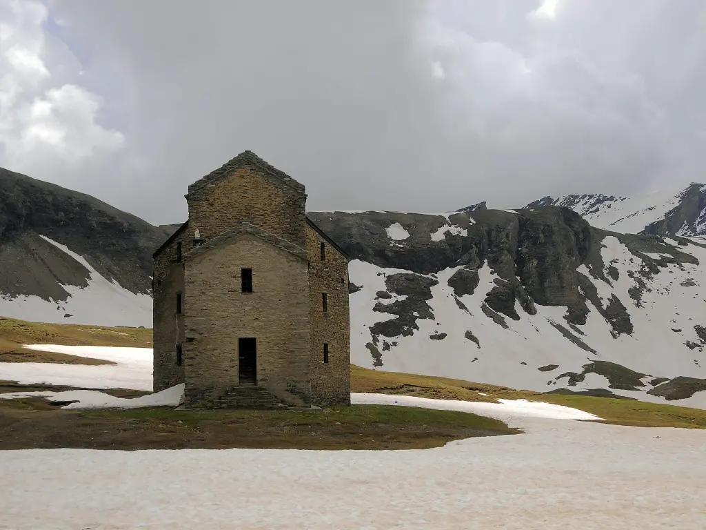
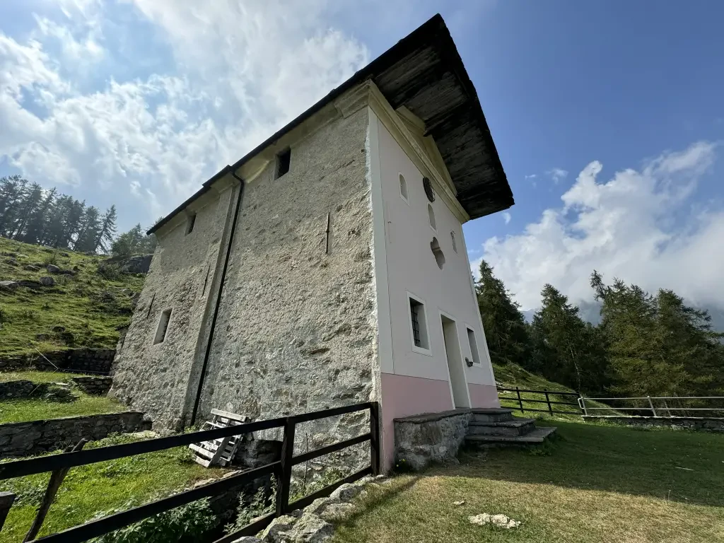
Sanctuary of Retempio, from Pontboset
The excursion to the Sanctuary of Retempio is a journey into the heart of Aosta Valley tradition and devotion, immersed...
8.94 Km
726 m
Crest dessous, from Pontboset
Pontboset is a charming little hamlet located at the beginning of the Champorcher valley, nestled in a particularly picturesque position...
T2
3.87 Km
355 m
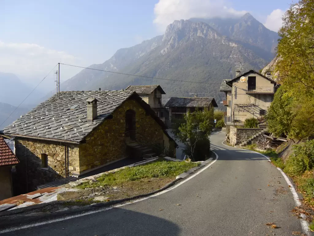
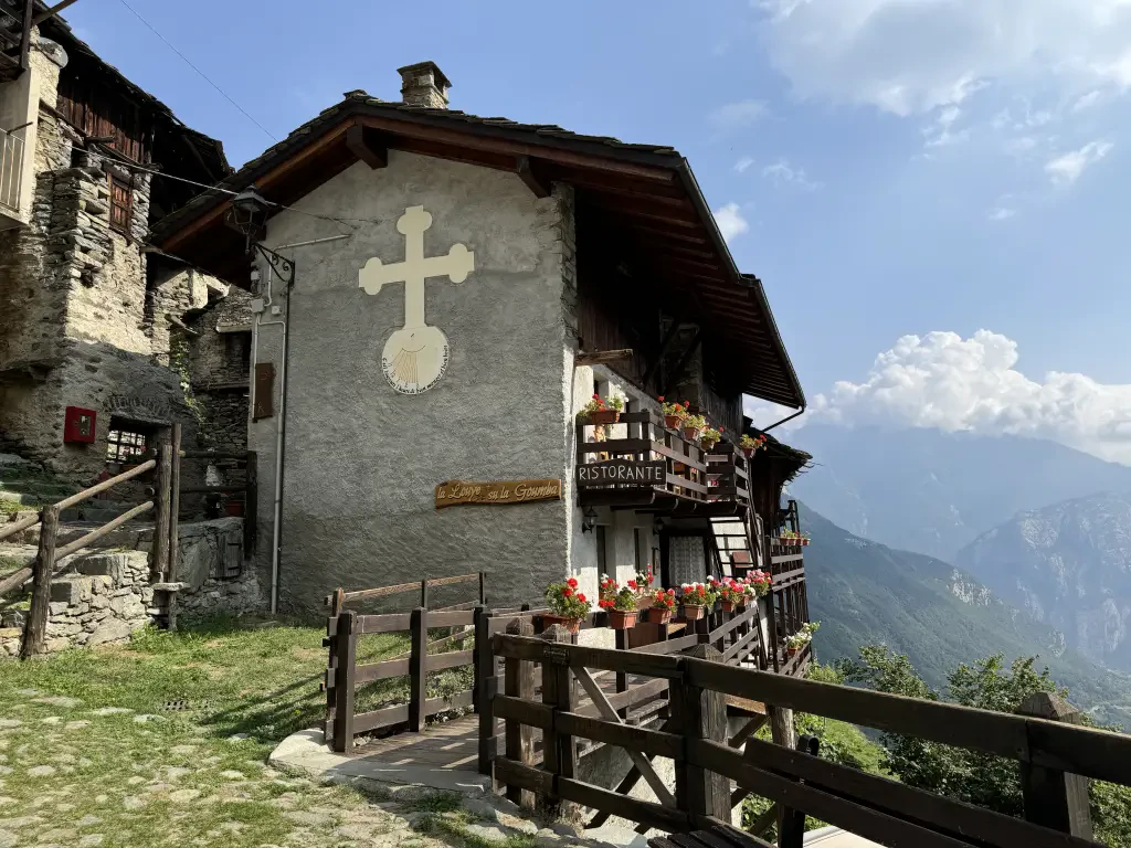
Barmelle, from Dublanc
Barmelle is a village perched on the left orographic slope of the Champorcher valley. The village, positioned on a ledge...
T2
4.00 Km
455 m
