Leave the motorway at the Nus tollgate, proceed along the junction and after 220m at the roundabout, take the first exit and proceed in a north-easterly direction until you come to the Strada Statale (trunk road): take this to the left and follow it for 850m until you come to a traffic light signposted for Saint-Barthélemy. Turn right onto Via Champagne and a little further on turn right again onto Via Aosta until you reach the village of Nus. In front of the pharmacy, turn left to take the Regional Road of Saint-Barthélemy. Drive up the regional road past the village of Nus, and through the villages of Petit-Fénis and Blavy, and after 15.,9 kilometres you will reach the pretty village of Lignan. In the village, there are two large car parks 🅿️ free of charge: one in front of the small church closest to the starting point of the trails and a second, in case the first is completely used up, at the beginning of the village.
[0h26'] - [17.8km] How to get there with GMaps How to get there with Apple Maps
These directions are based on direct verification at the time of surveying the route so the information should be checked before setting off. We recommend using a GPS navigator or a map app on your smartphone to get up-to-date and detailed directions.
Introduction
Mont Morion (2711m) is a solitary peak located in the centre of the Saint-Barthélemy Valley. Panoramic views of the Saint-Barthélemy Valley and the surrounding mountains can be appreciated from the summit.
Description
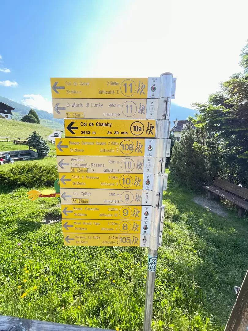
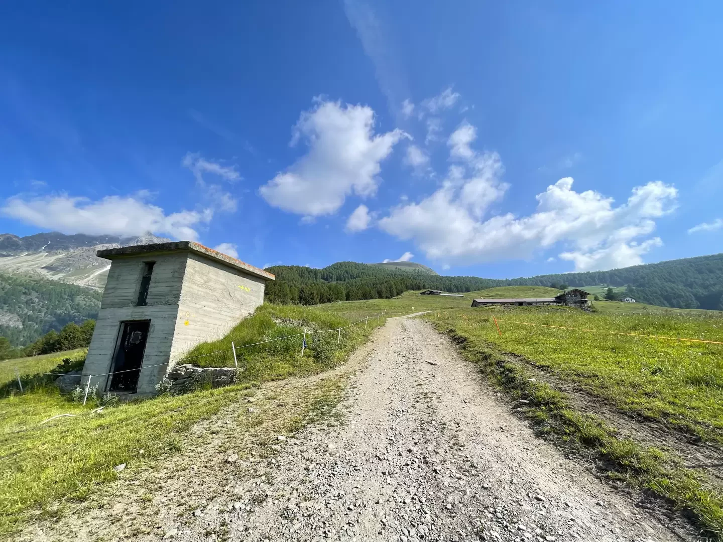
0h00' From the car park, follow the signpost
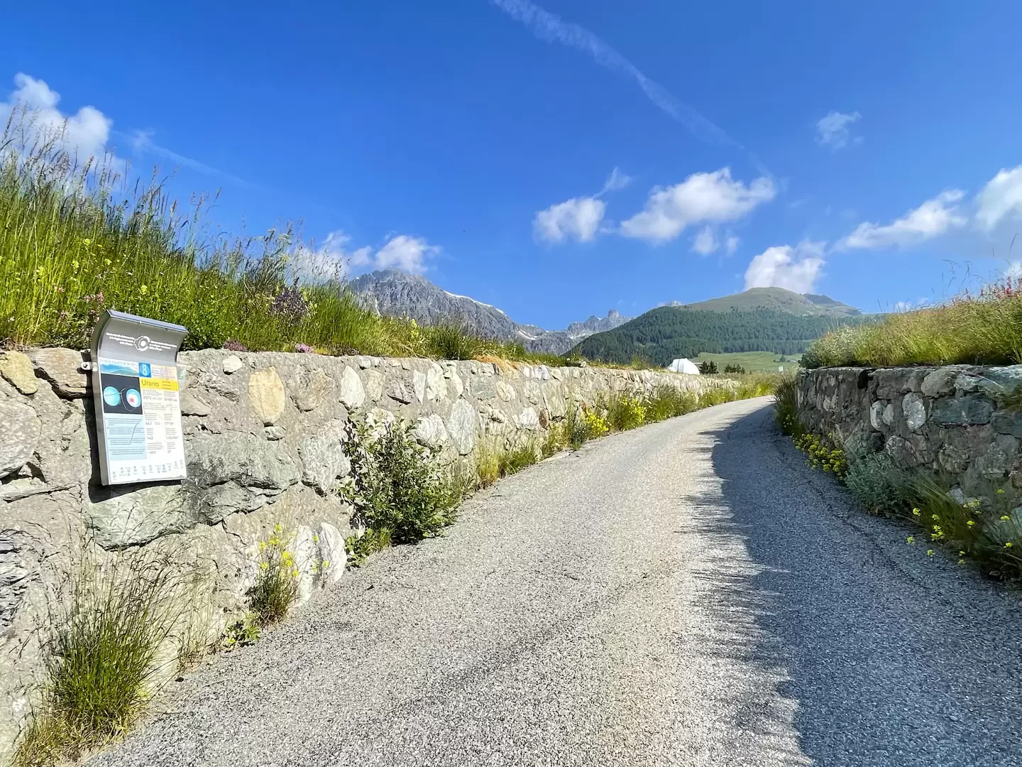
for the Oratory of Cunéy, as indicated on the signpost indicating the main itineraries departing from Lignan, and take the tarmac road leading to the Aosta Valley Astronomical Observatory. This stretch of road is called the "Path of the Planets" because a series of explanatory panels on the planets, placed at distances proportional to the real distance from the sun, accompany visitors to the observatory on their way to the facility.
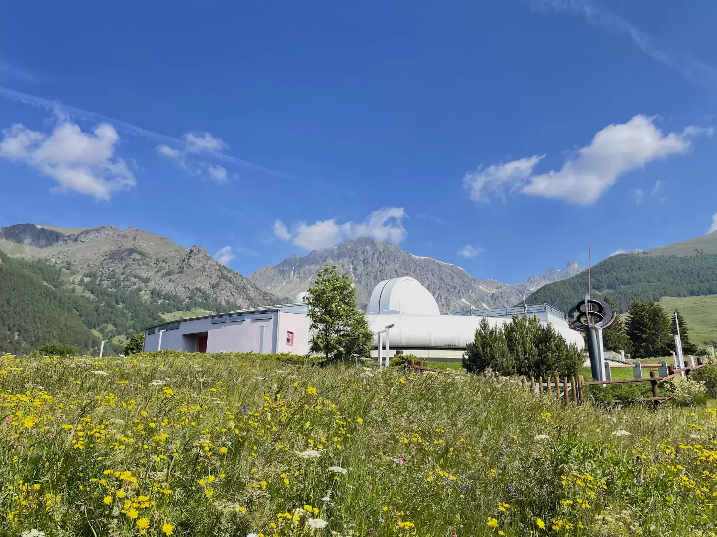
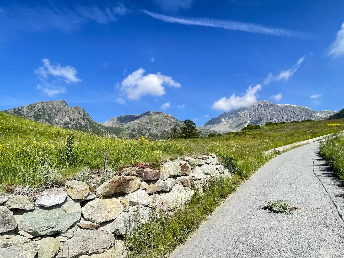
0h05' At the observatory, ignore the dirt track on the left and continue straight on along a section of asphalt road that is decidedly steep in the sight of the south-east face of Mont Faroma. The little road becomes a dirt track and slows down its incline before reaching the first alpine pastures of Places and the route begins to climb again with some vigour. Pass the renovated cottages of Places di meiten (1872m) and continue up the snowy slope past the larch forest until reaching Mayes (1992m, 1h00').
1h00' Continue by entering the wood on a diagonal to the right. After crossing the forest, we soon reach the ruins of Fontaney (2087m, 1h15').
We continue diagonally to the right, passing a second wooded belt until we reach the edge of the beautiful snowy pasture: we turn left and pass the last solitary larch trees before plunging into an environment of unique beauty, a white sea at the foot of Mont Morion. One ascends the slope in the direction of a signpost immersed in white: from here one turns slightly to the left and, after a few bumps, the mountain pasture appears before the hiker. One last short effort and you reach the Tsa de Fontaney (2307m, 1h45'). From the alpine pasture, you can enjoy a very interesting panorama: from the beautiful backlit profiles of the Mont Emilius and the Becca di Nona, to the glacial peaks of Monte Rosa: 270 degrees of mountain!l
1h00' From the alpine pasture, we turn right up the grassy path, which, with a series of twists and turns, overcomes some depressions and passes near a small lake. Slowly, you approach Col Salvé: just before the pass (2515m, 1h40'),
1h40' the path
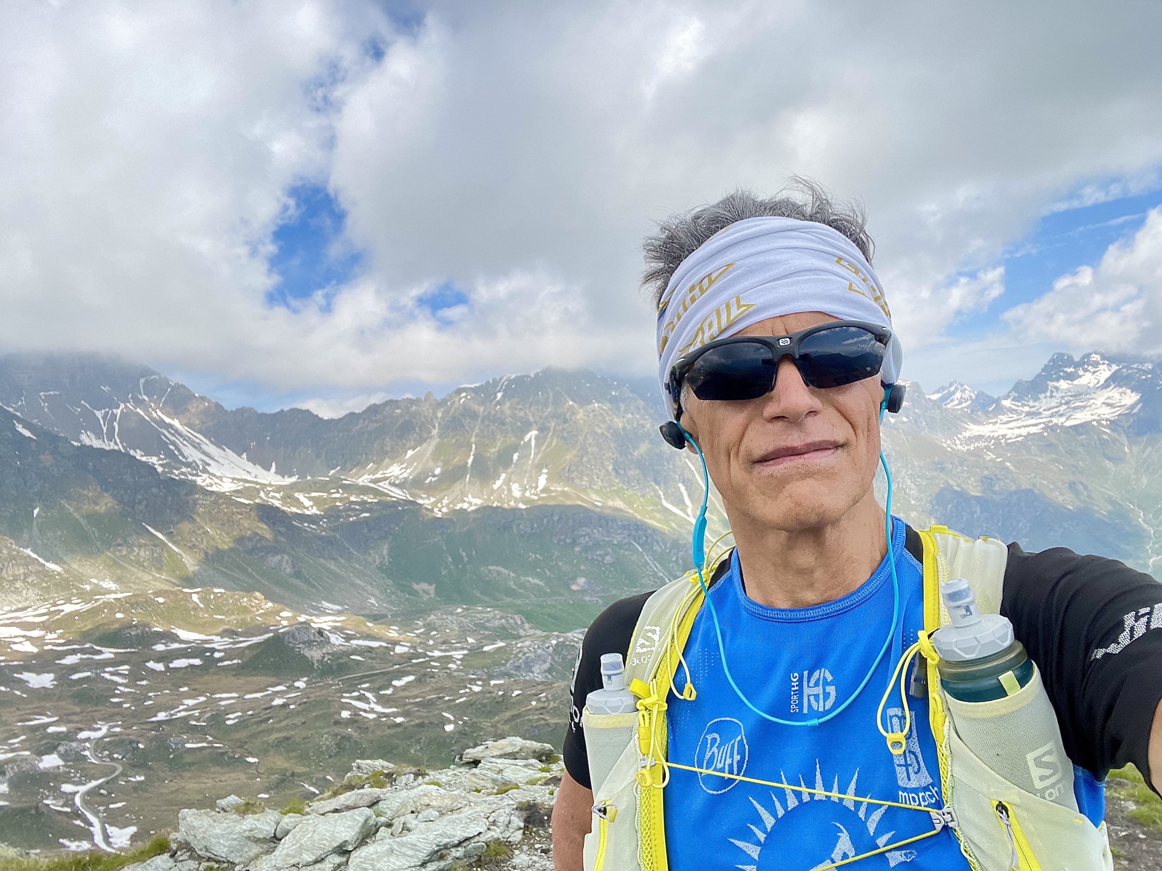
starts off to the right, which joins the west ridge of Mont Morion. Climb over a ridge, descending briefly to a saddle; then begin the final ascent, on the easy path, passing near a rocky relief (splendid scaled section) and joining the final ridge by crossing some whitish rocks. In a few minutes, you reach the summit of Mont Morion (2709m, 2h00') and can enjoy an interesting 360° panorama over the whole of the Saint-Barthélemy basin with a privileged view of the bastion of the Becca de Luseney. The return trip is along the same route as the outward journey 1h30'.


Comments (0)
Sign in to leave a comment