


Edited by:
Osvaldo Di Fronzo
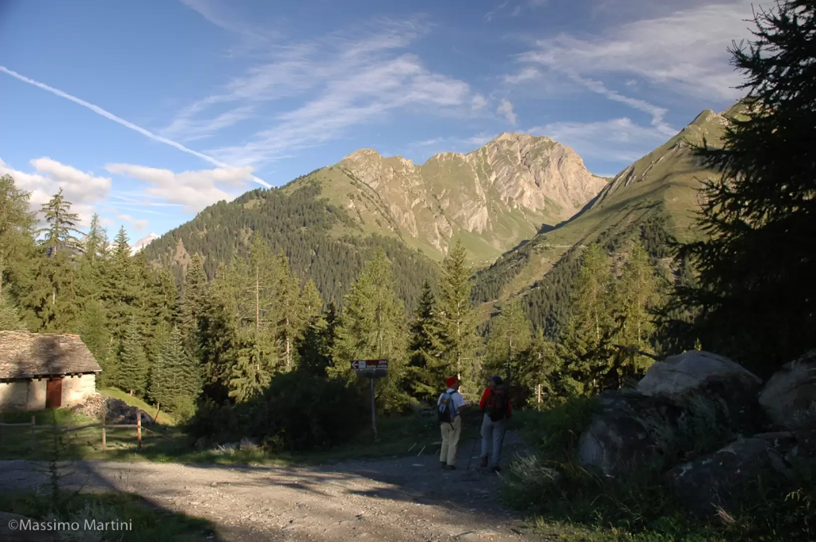
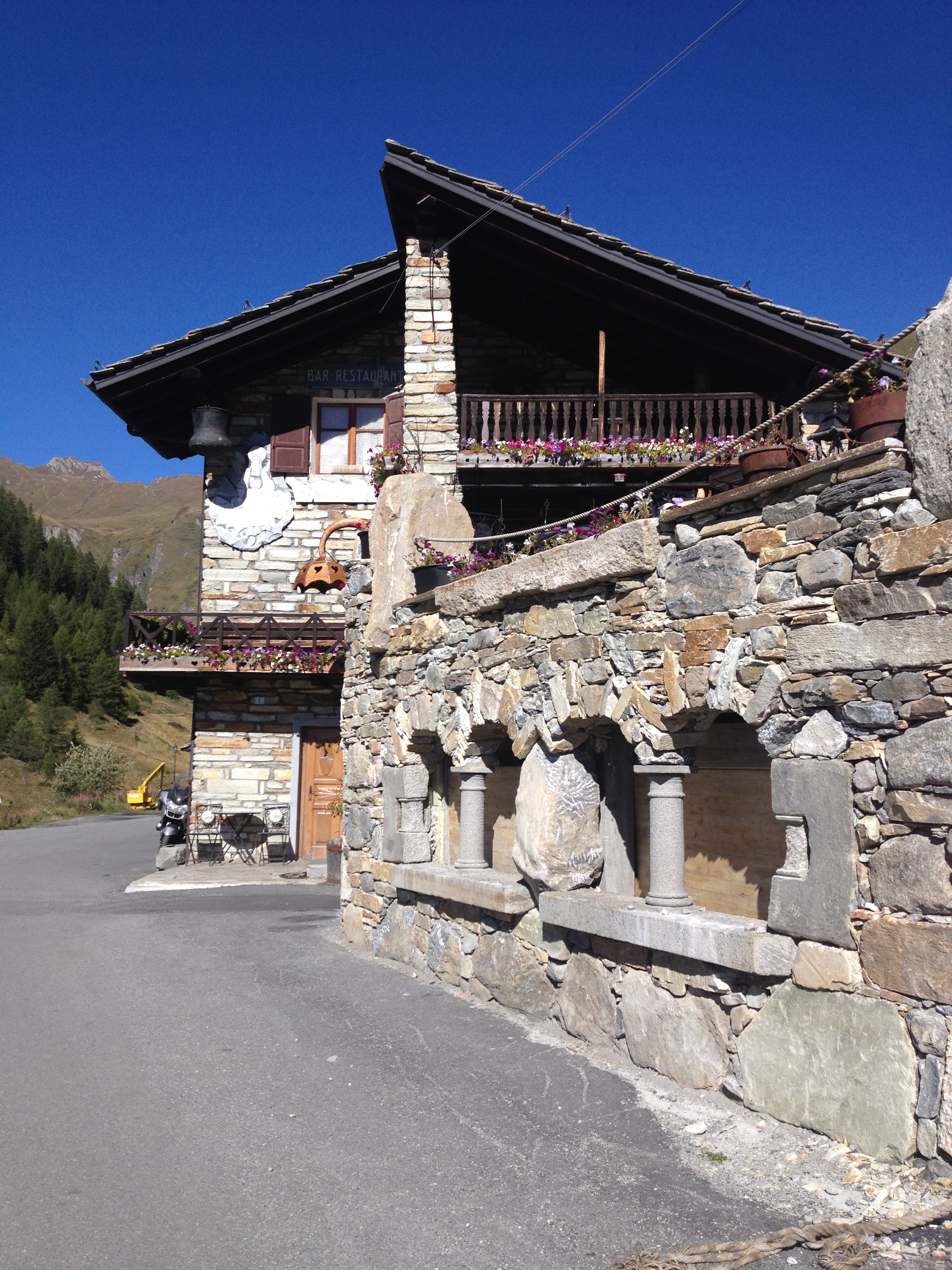
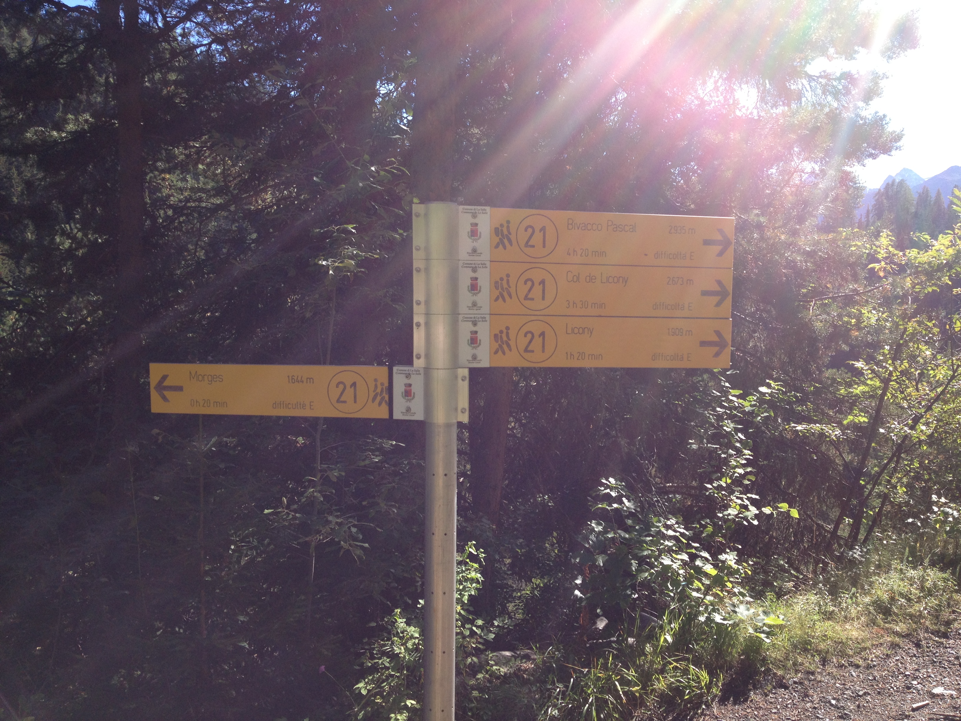
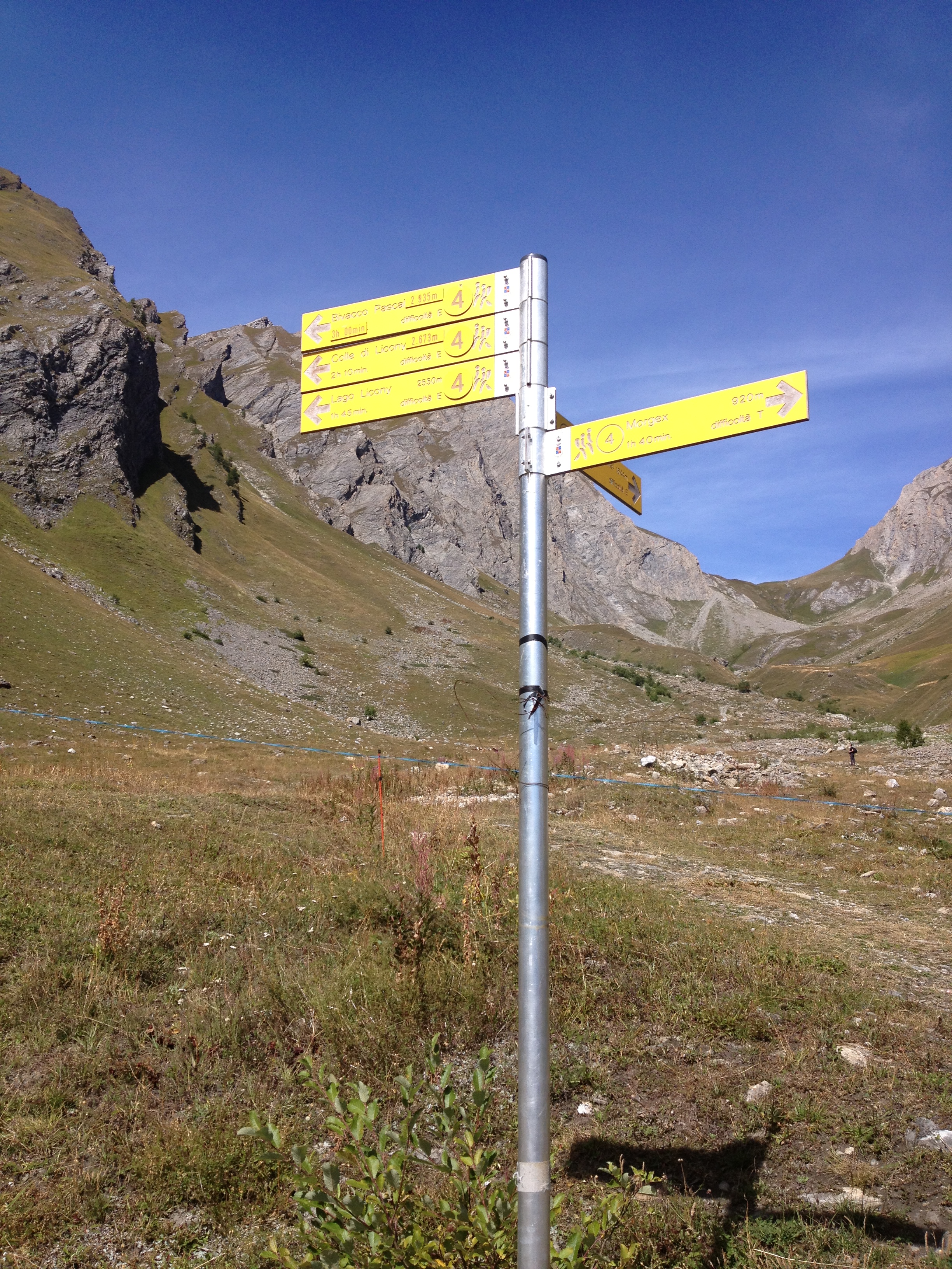
Sunday 16 June 2024
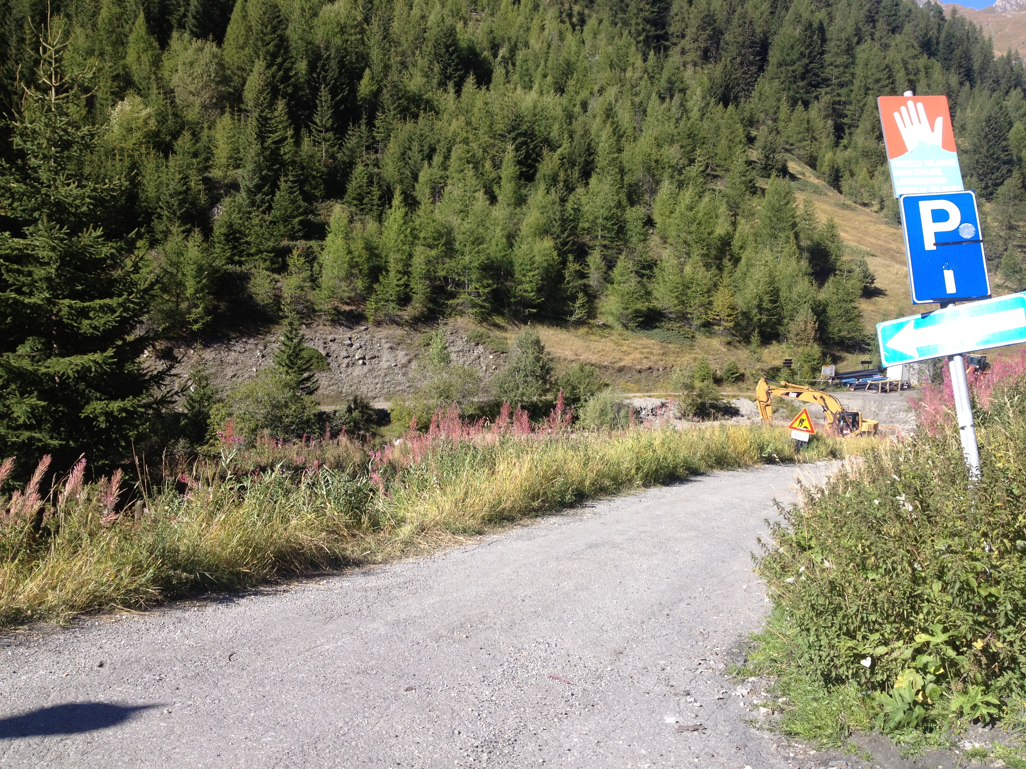
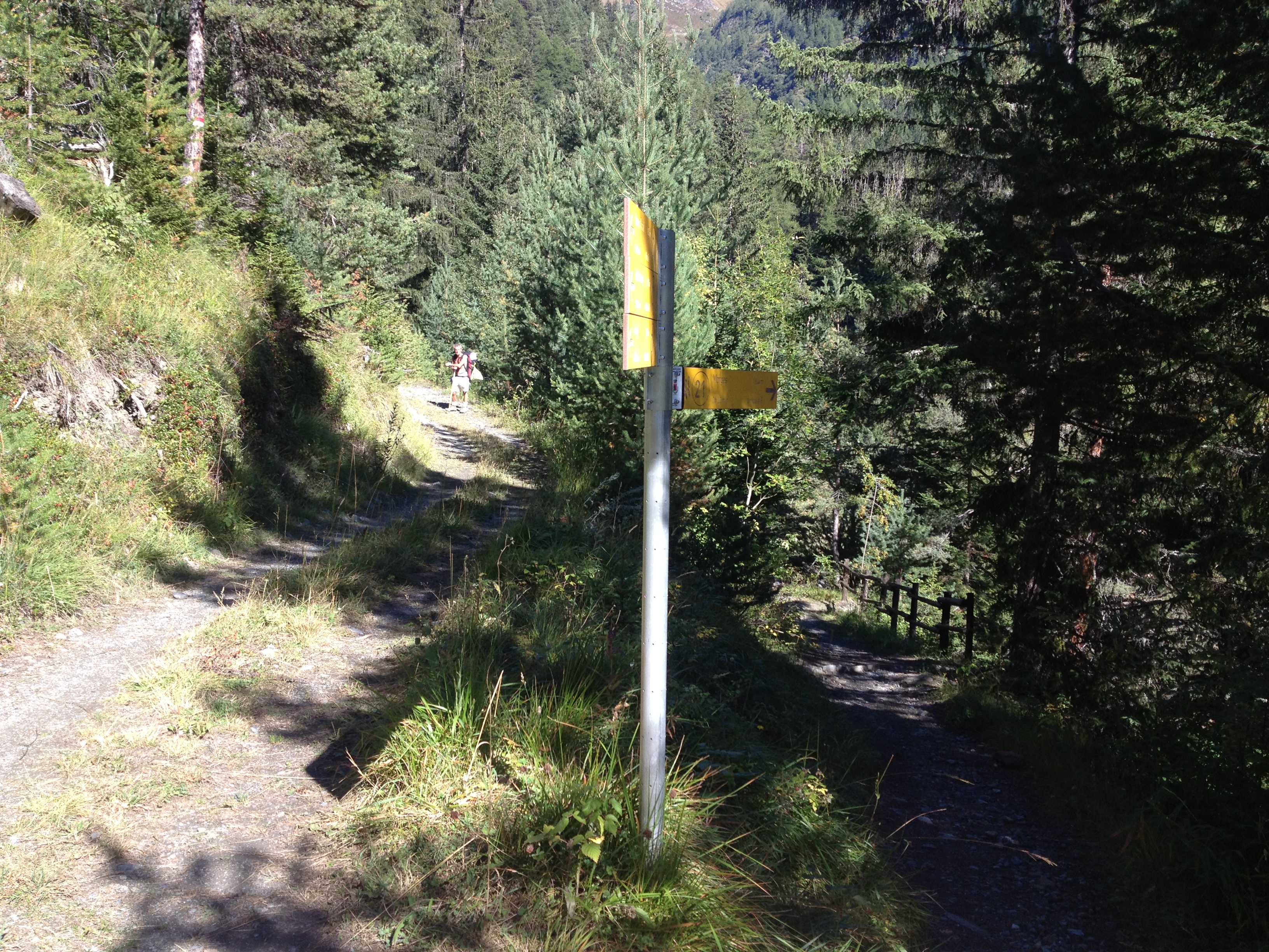
Bivacco Pascal
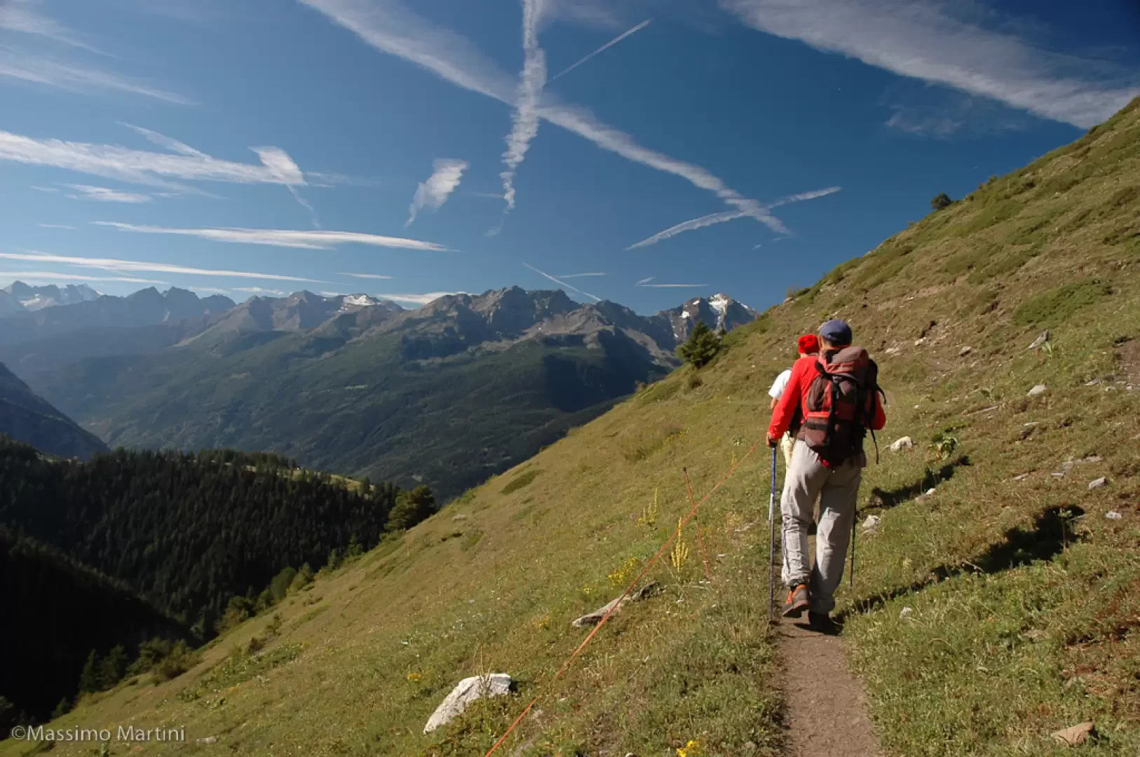
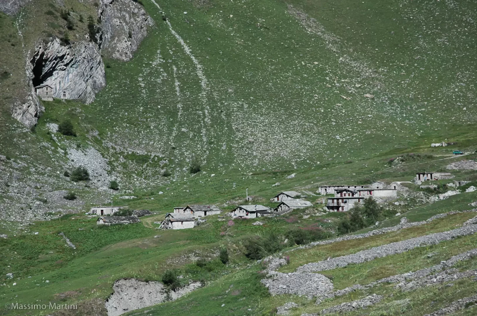
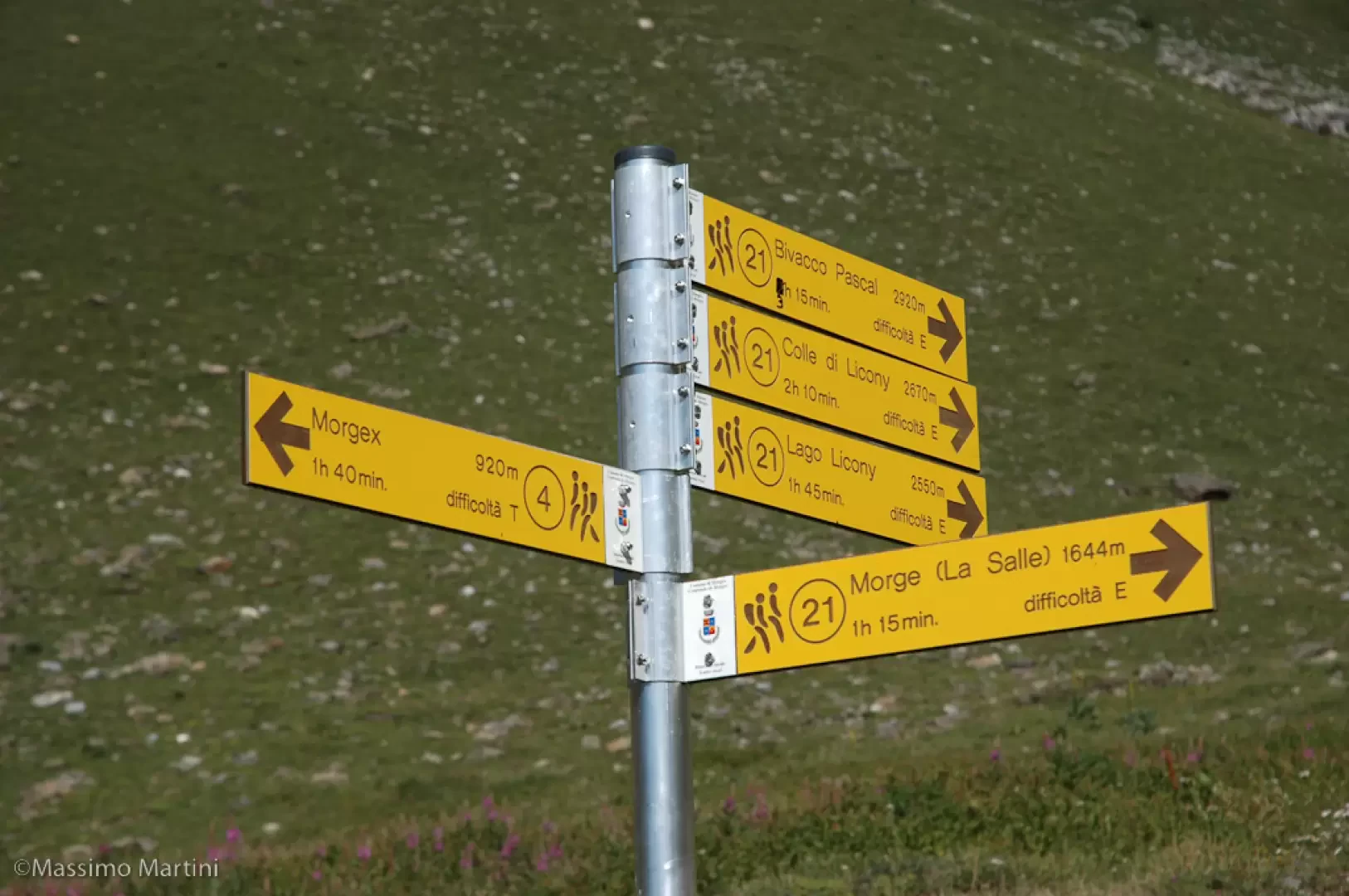
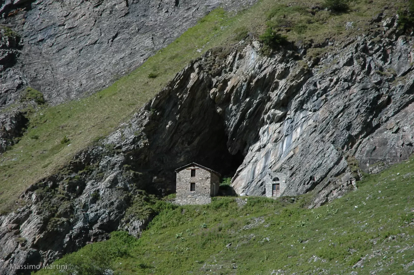
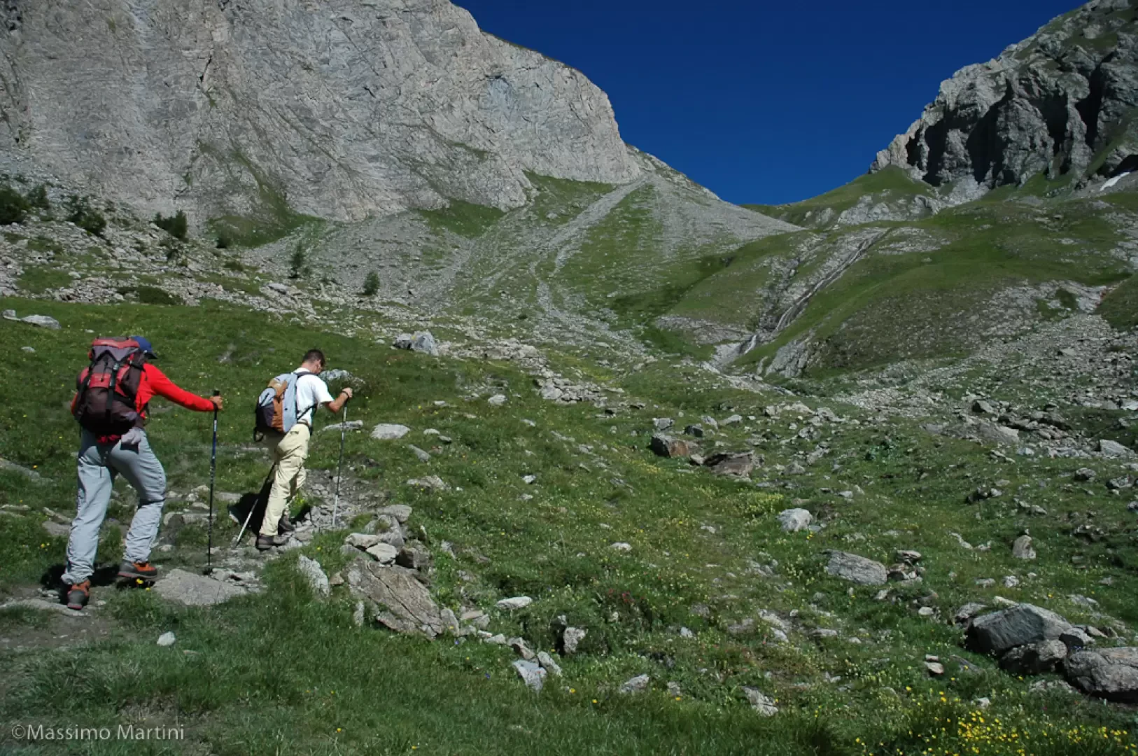
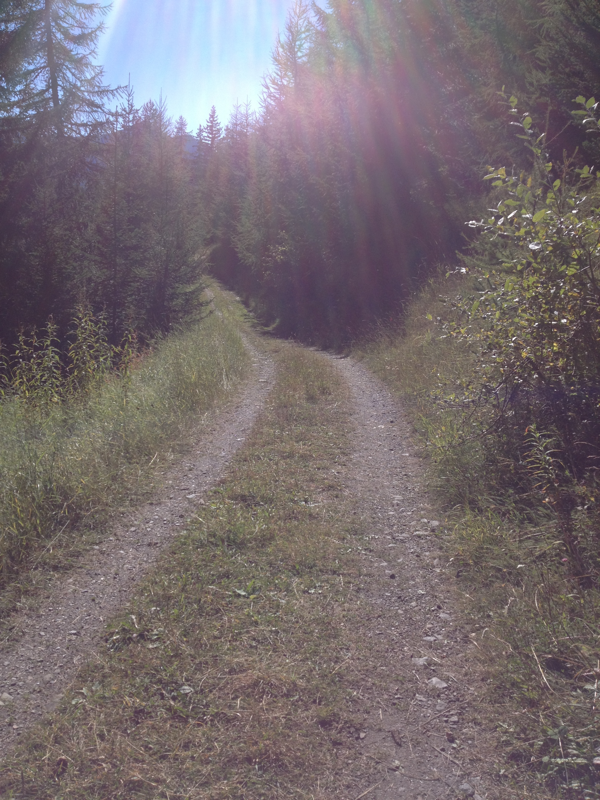
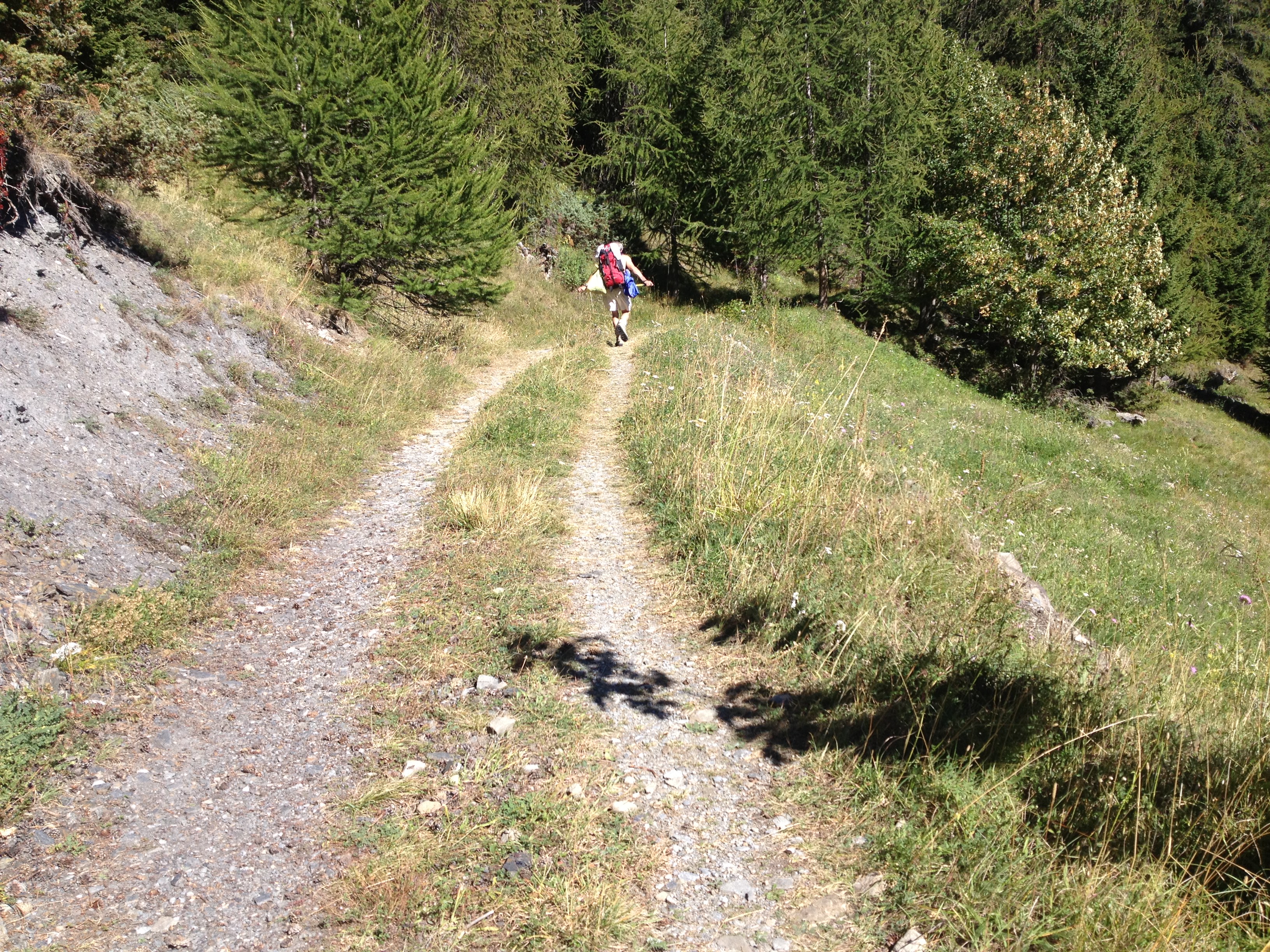
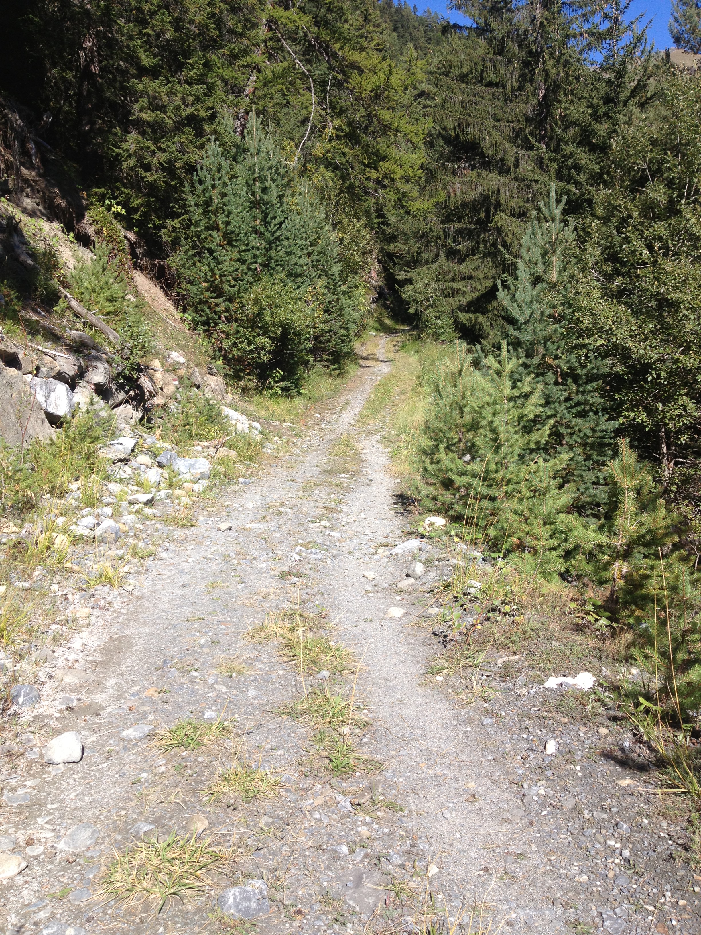
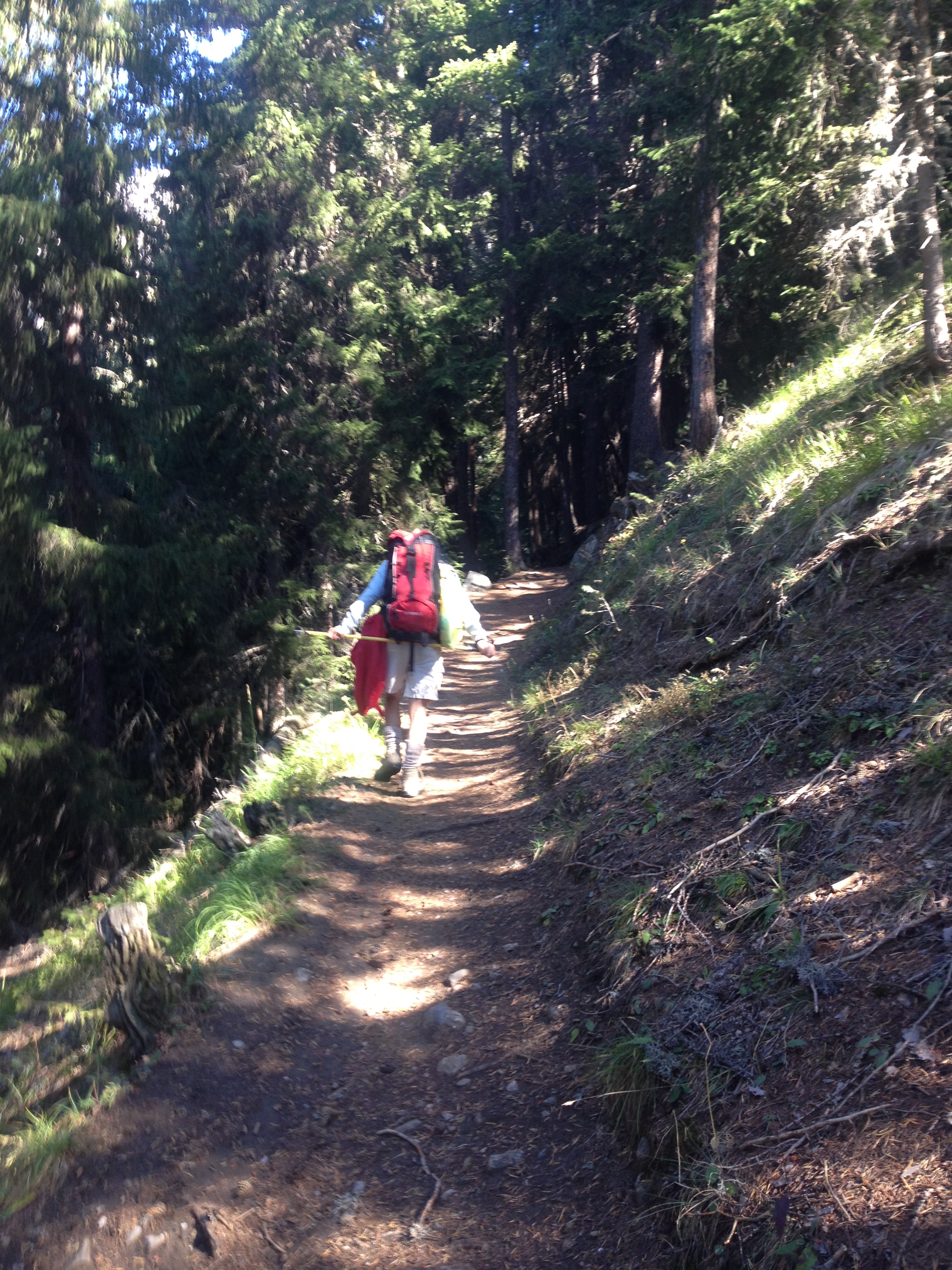
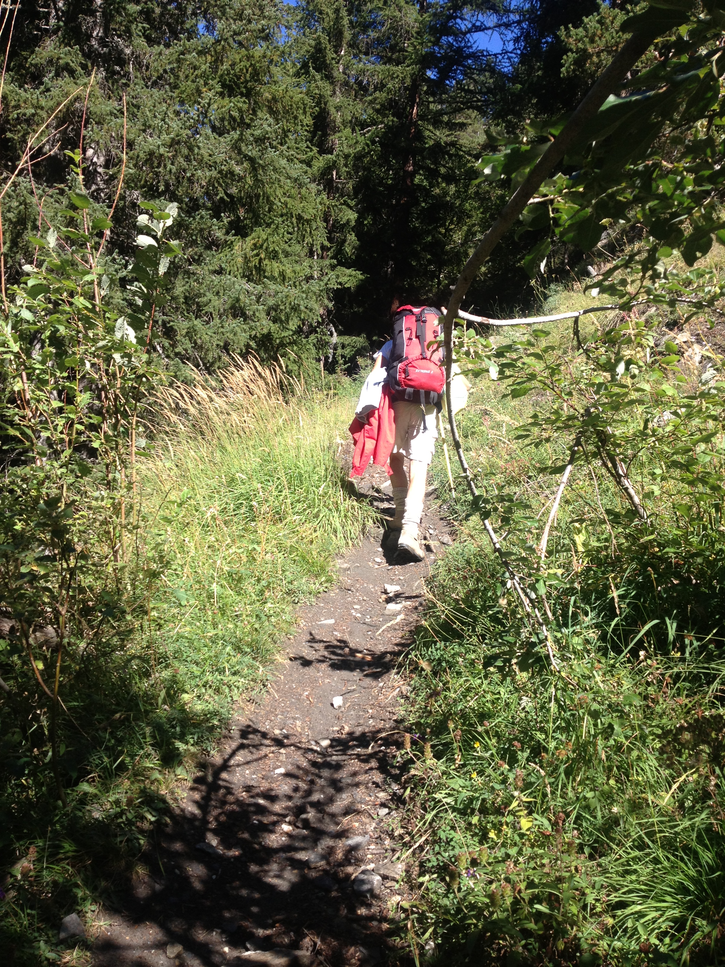
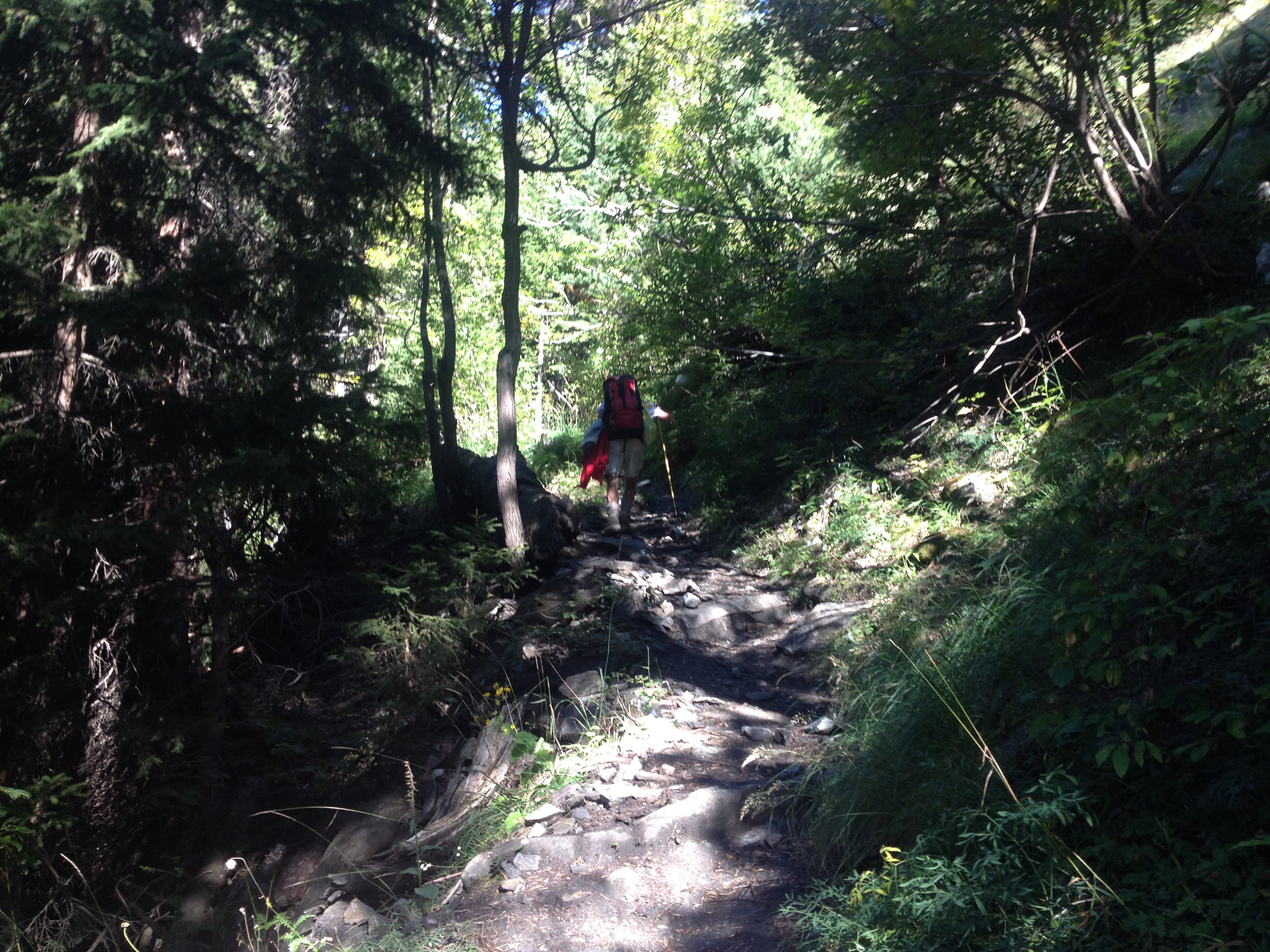
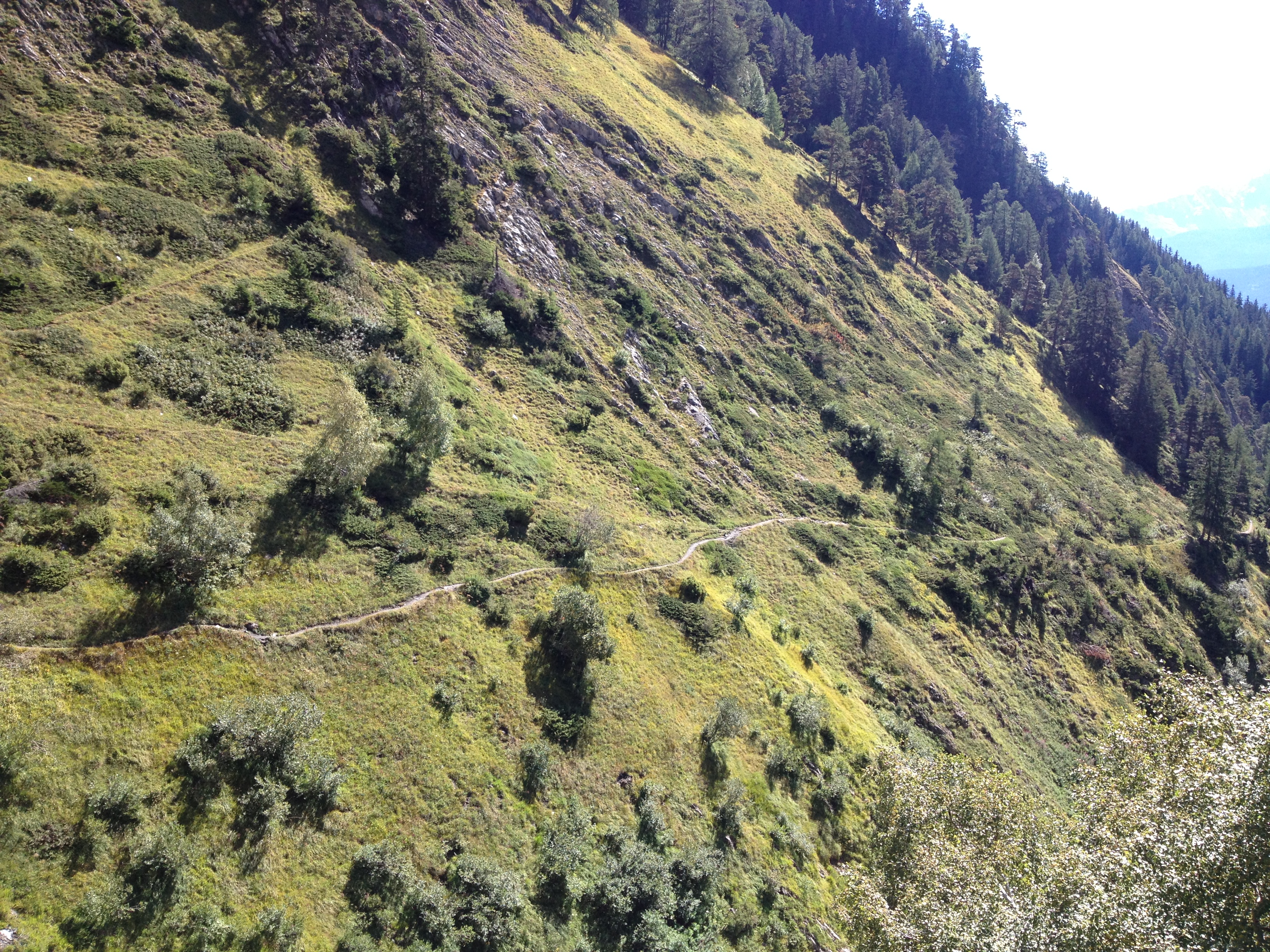
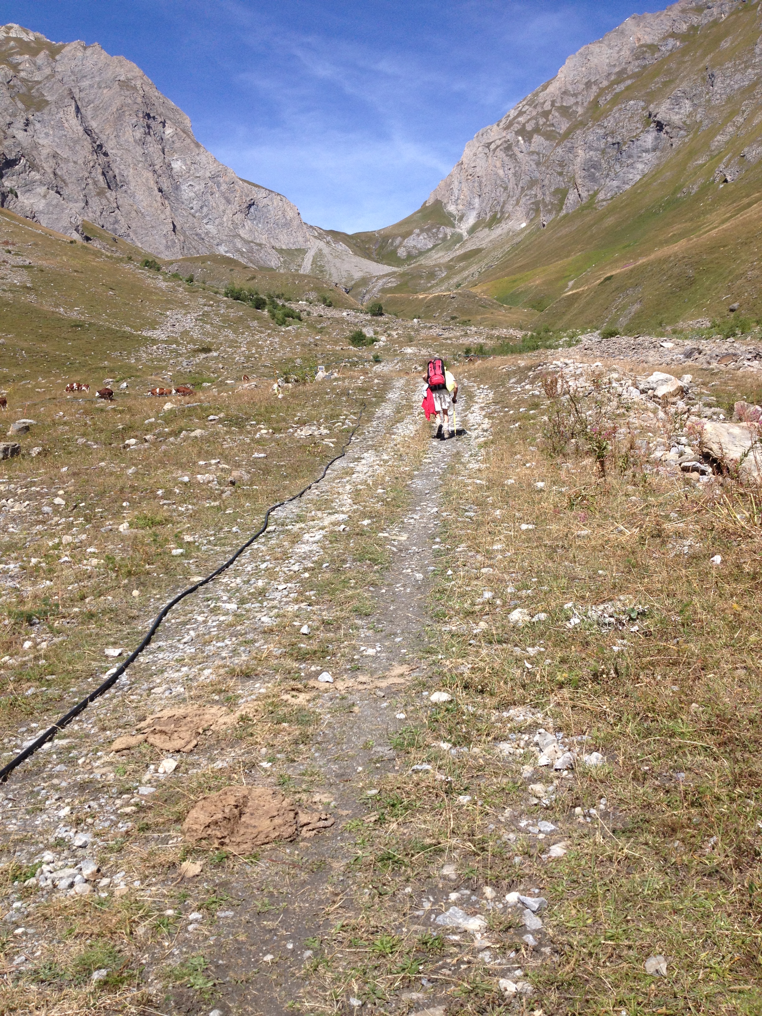
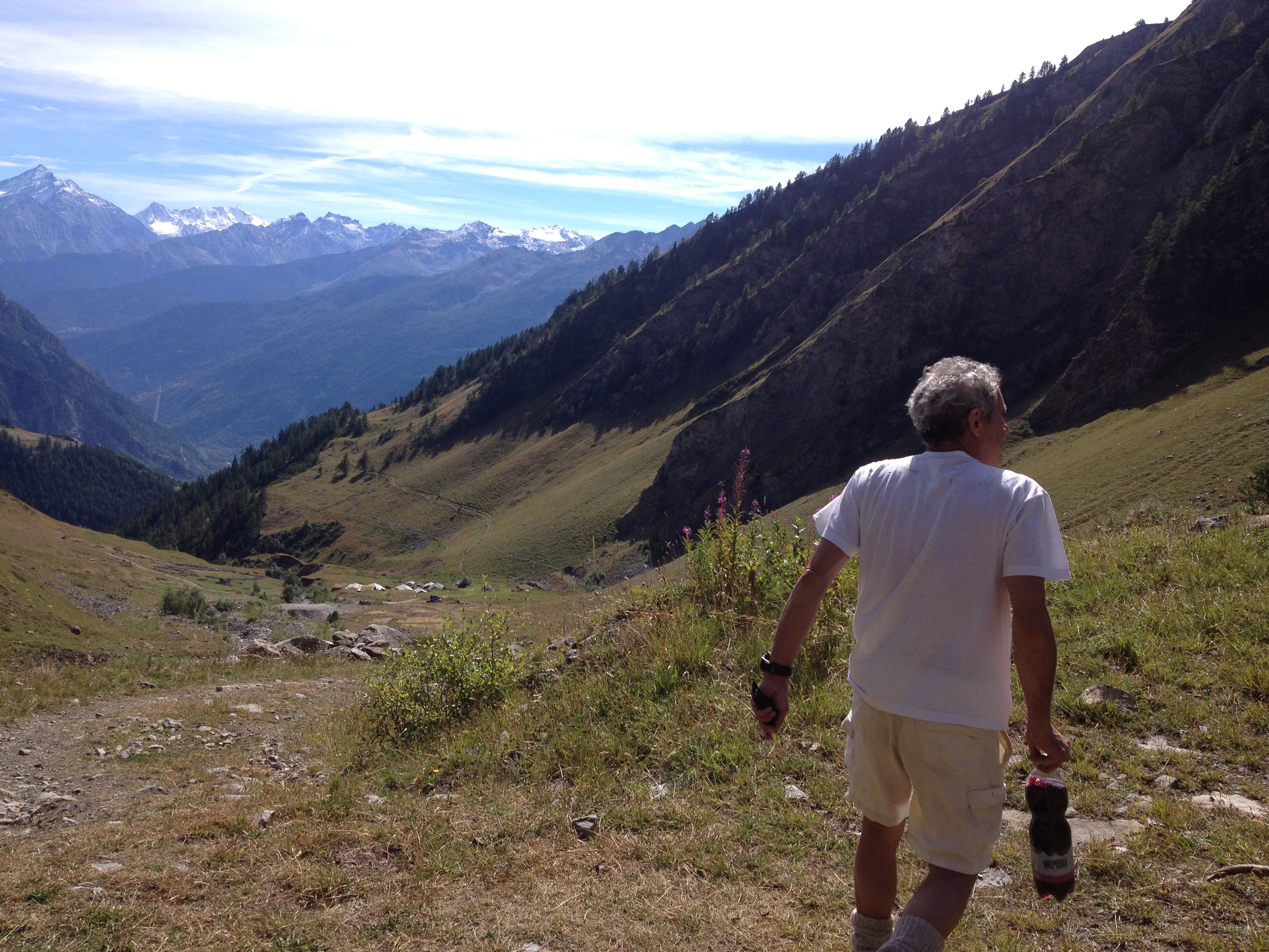
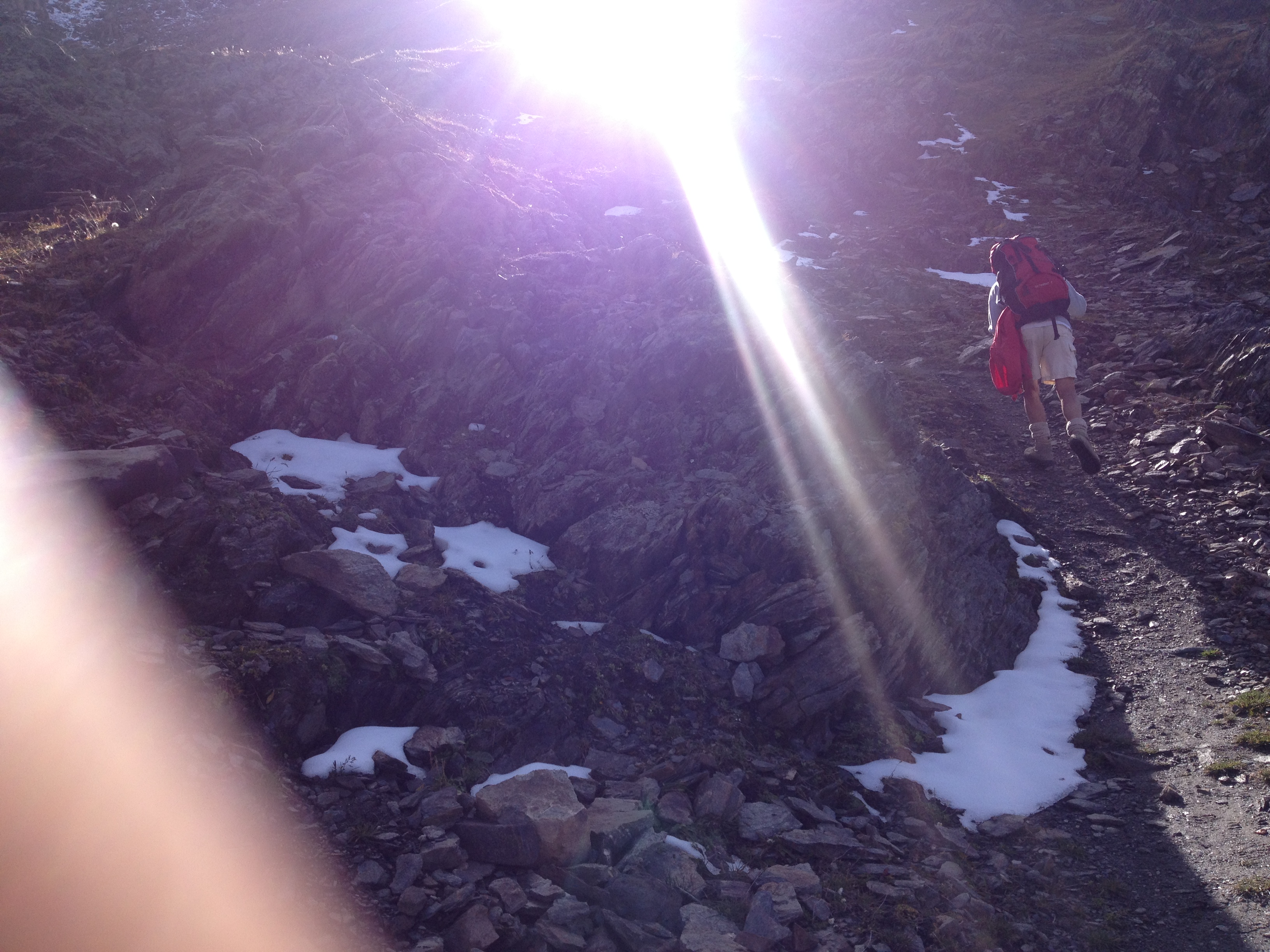
ITINERARIO PER IL BIVACCO PASCAL In 15 tappe! di Osvaldo e Lello La lunga ma molto bella escursione per raggiungere il Bivacco Pascal concede il privilegio di godere di uno dei più bei panorami del Massiccio del Monte Bianco e non solo. 1. Il 19 settembre 2013 siamo partiti da Torino in autostrada verso Aosta, superando la barriera di Aosta Est. Usciti dal casello autostradale A5 di Morgex, svoltare a destra sulla SS.26 per poi (dopo circa 800 metri) svoltare a sinistra sulla strada per LA SALLE. Seguire le indicazioni per Challancin poi si attraversano svariati villaggi (Chaffieon, Villarisson, Remondey, Les Places) fino a raggiungere MORGE DESSUES. 2. Da Morge (1625 m) si prosegue risalendo alcune curve (si incontrano un paio di parcheggi), sulla sinistra dopo un tornante si incrocia la strada da cui diparte il sentiero per Licony (segnalato con la paline a cartelli gialli con l’indicazione per il Bivacco Pascal). Questo è il sentiero ufficiale per raggiungere il Bivacco ma noi invece abbiamo ancora proseguito per PLANAVAL (ultima frazione di La Salle, nella parte più alta) dove si incontra un Bar-Ristorante (una ex-Bergeria). Qui vi è uno spiazzale dove poter parcheggiare l’auto. 3. Dal cartello di divieto di transito proseguire a piedi per la strada sterrata (sulla sinistra) attraversando il torrente e continuare sul sentiero che costeggia il corso d’acqua (sentiero segnalato lungo il percorso con barre bianco-rosse). Proseguendo per questa mulattiera che diparte da Planavalle si incontrano un paio di margarie ristrutturate, si deve procedere rendendosi conto che si scende di dislivello poi ci si innesta su una zona di sentiero quasi pianeggiante che si congiunge con il sentiero che proviene da Morge (1671 m): questo incrocio è segnalato da paline. 4. Si procede diritto, dunque per il SENTIERO numero 21 che taglia a mezza costa il bosco di pini e di conifere (che nelle giornate più assolate riparano e rinfrescano dal calore del sole); sentiero che si trasforma a tratti in una stradicciola in alcuni punti pianeggiante in altri leggermente in salita, ma sempre cosparsa di aghi di pino in un piacevole scenario erbato che taglia la falda della montagna. 5. Ci si inoltra dunque nel vallone di Chambave e...dopo una serie di saliscendi nel bosco un po’ assolato un po’ in ombra…si incontrano delle piccole cascate. 6. Procedendo si incontra una panchina in pietra ma noi…abbiamo troppa voglia di proseguire percui sosta durata il tempo di un paio di foto poi…si riparte! Procedendo si incontra un cartello su un albero che ci conferma che…la via intrapresa è quella giusta! 7. Si giunge al ponte ferrato che sovrasta il torrente e permette di raggiungere il versante opposto. Voltandosi…è inevitabile non fermarsi a rimirar il sentiero già percorso: dolce e ondulato, che disegna a mezza costa il rilievo erbato! 8. Procediamo incontrando rocce bollate di giallo con indicato il numero 21. Il sentiero procede piacevolmente ma noi abbiamo preferito attuare una lieve divagazione di percorso, innalzandoci su un passaggio calpestato dagli animali, senza però perder mai di vista il sentiero “ufficiale” che si trasforma in una sorta di “strada” pianeggiante e molto larga. 9. Dopo questo avvicinamento si giunge al VILLAGGIO DI LICONY (1879 m): caratteristico villaggio posto al fondo della Valle. Qui vi è la cappella della Madonna di Lourdes realizzata nella roccia sulla parete sinistra della montagna che abbraccia il villaggio. A Licony, tra vecchie margarie ed ex stalle, vi è una fontana…se occorre ricordarsi di far qui rifornimento di acqua!! Sempre il villaggio di Licony ha le paline informative (per il lago di Licony e per il Bivacco)…ma ci rendiamo subito conto che sono rivolte nella direzione errata. Non c’è da preoccuparsi perché un grosso masso ha una possente scritta gialla con le indicazioni per il Lago di Licony!! 10. Si procede quindi per un sentiero che sale attraversando prati e pascoli. Qui, a metà vallone su un tratto erboso, abbiamo approfittato per la pausa pranzo. Si procede ancora in salita costeggiando il torrente sulla destra. Torrente che crea nella parte più alta delle piccole cascate....d'istinto ci siamo avvicinati per assaporar quell'acqua. Si incontra poi un alpeggio caratterizzato da una struttura a grotte, forse ex-strutture militari con 5 volte a botte. 11. Il sentiero sale ancora a zig-zag poi con un andamento a sinistra e poi si inerpica rendendo la salita un po’ difficoltosa…ma il tutto è ripagato non appena giunti alla TESTA DI LICONY dove si sbuca su una imponente conca che ospita il LAGO DI LICONY (2595 m): lago alpino collocato tra le ripide pareti della montagna che ci sorprende con della neve al fondo, mentre nel largo paesaggio sulla destra la vista è incantata dalle zone di pascolo verdeggianti. Partendo dalla riva destra del lago, si procede sul sentiero che costeggia il lago e si alza quasi disegnando un dolce quanto ondulato semicerchio. Da questo percorso, alzando gli occhi, si intravede, puntando la vista verso il Colle di Licony la punta del monte Bianco…primo assaggio dello spettacolo che vedremo una volta arrivati su in cima al Colle! Tutto ciò ci viene confermato da una “Rosa dei Venti” in metallo scaldato dal sole: a nord-ovest….il M.Bianco! 12. Si procede per il pendio erboso con un avvicinamento ad un alpeggio dalla forma allungata (l’Arp de Licony - 2669 m), procedendo nella salita che disegna dolcemente la valle erbata della montagna fino a raggiungere il punto più alto di questo sentiero che conduce al COLLE DI LICONY (2674 m) dal quale si gode del bellissimo quanto inaspettato panorama del massiccio del Monte Bianco. Il momento dell'arrivo al Col de Licony è qualcosa di magico: siamo giunti al Colle e...come d'incanto si apre alla vista una bellissima cartolina che toglie il respiro per la bellezza inaspettata della Natura. In questo punto panoramico si pregusta lo spettacolo che poi si vivrà una volta giunti in vetta. Qui è inoltre posizionato un totem con le indicazioni per il Bivacco e per i sentieri che qui si incrociano e che provengono da Courmayeur e quello che sale dalla Val Sapin). 13. Dopo la sosta quasi obbligata qui al Colle di Licony, si procede in salita su un insolito percorso fatto di detriti di cresta di rocce e di strani gradini. Si incontra poi un piccolo laghetto di fusione (dove abbiam fatto rifornimento d’acqua!). Si procede costeggiando il laghetto in corrispondenza della sua riva destra poi, non appena superato il laghetto, non dimenticar di voltarsi per contemplar il bel panorama! 14. L’aspetto del percorso qui cambia: il paesaggio si fa detritico divenendo a tratti innevato fino a giungere ad un largo colle dove si incrocia il sentiero proveniente da Dailley, poi si svolta a destra e si risale la cresta, dorsale da cui già si avvista il Bivacco ed i suoi ometti in pietra collocati sulla vetta!! 15. Si giunge infine al BIVACCO PASCAL (2920 m): una baita molto confortevole, dotata di 12 posti letto, coperte, è fornita di energia elettrica grazie ai due pannelli fotovoltaici che oltre a fornire luce, immettono tramite delle ventole aria leggermente riscaldata all’interno. Vi è inoltre presenza di fornelli a gas, pentolame e materiali da cucina. Bacino di acqua piovana. Wc interno ed esterno. La copertura rete cellulare è sufficiente. Il Bivacco Pascal è collocato su un punto panoramico spettacolare che grazie alle buone condizioni meteo di fine settembre ci ha permesso di godere del bellissimo panorama sull’intero gruppo del Monte Bianco e..dintorni! Abbiamo trascorso una intera notte al bivacco dopo un tramonto colorato ed una luna piena che ci ha accompagnato fino all’alba…. Al mattino la presenza di stambecchi a distanza ravvicinata hanno coronato la bella esperienza al Bivacco Pascal. Il rientro si percorre seguendo lo stesso percorso. Un ringraziamento va sicuramente fatto al Luigi Pascal che a suo tempo ha pensato di dar la possibilità a noi altri di godere, costruendo il bivacco, di così tanta bellezza! Lo stesso ringraziamento va a quanti puntualmente si prodigano per il mantenimento dello stesso! Il tutto ci ha portato alla conclusione che l’itinerario..seppur lungo è valso per l’esperienza davvero molto molto suggestiva! Nel nostro racconto di viaggio mancano i tempi di cammino: in realtà questa escursione va davvero vissuta senza tempi in quanto questo percorso è tutto da godere, e non si è mai sazi.... Perché è molto bello il partire non per arrivare....ma per viaggiare deliziandosi momento per momento della bellezza dei panorami, delle strade e della natura con i suoi animali che vi ci abitano, e con la gente che percorre lo stesso itinerario. Senza tempi nè distanze, per esser liberi di fermarsi ad ascoltar le storie raccontate dalle persone che incontri, o il fermarsi anche solo per udir il fruscio dell'acqua o per cogliere il rumor del silenzio...
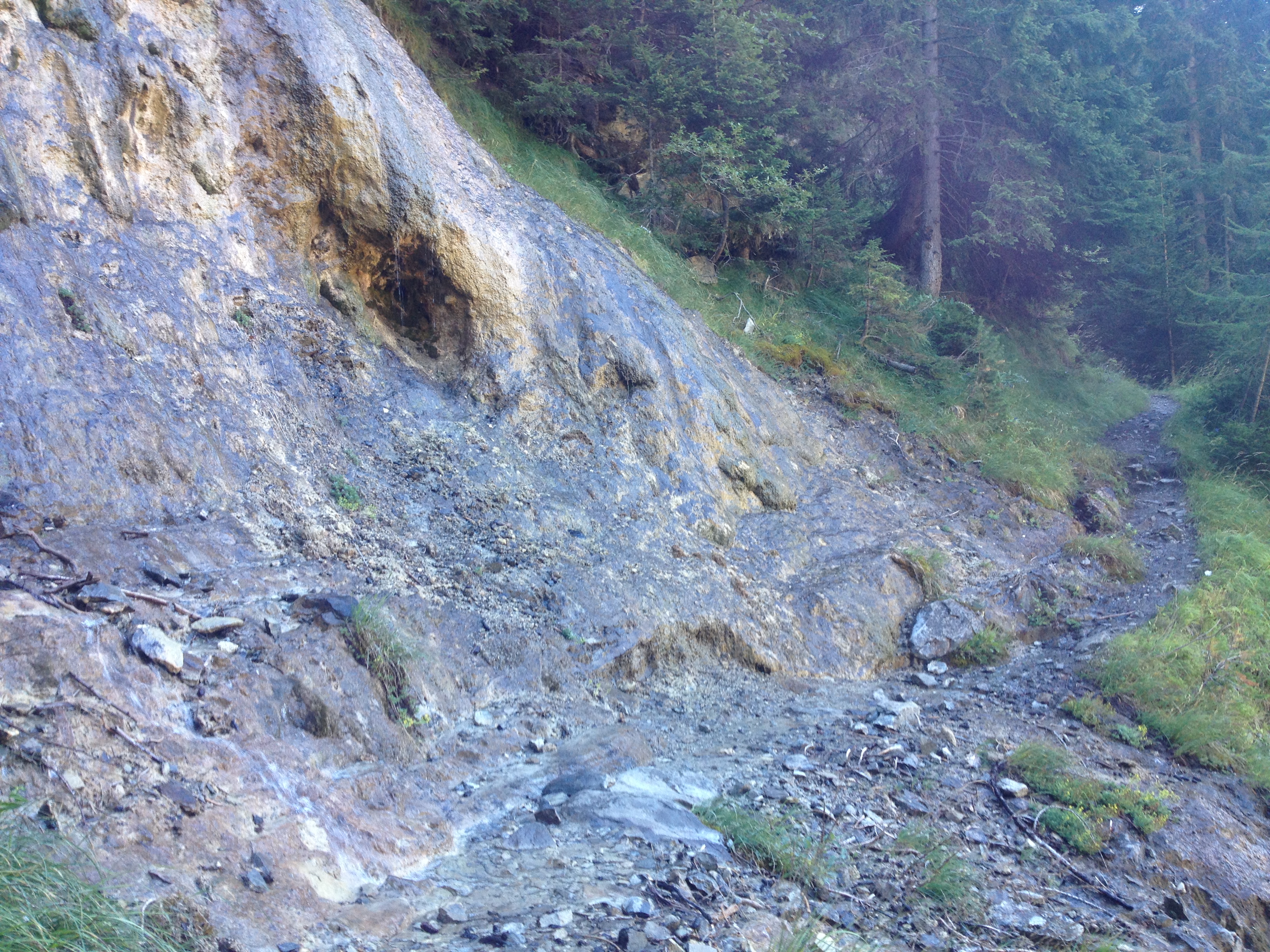
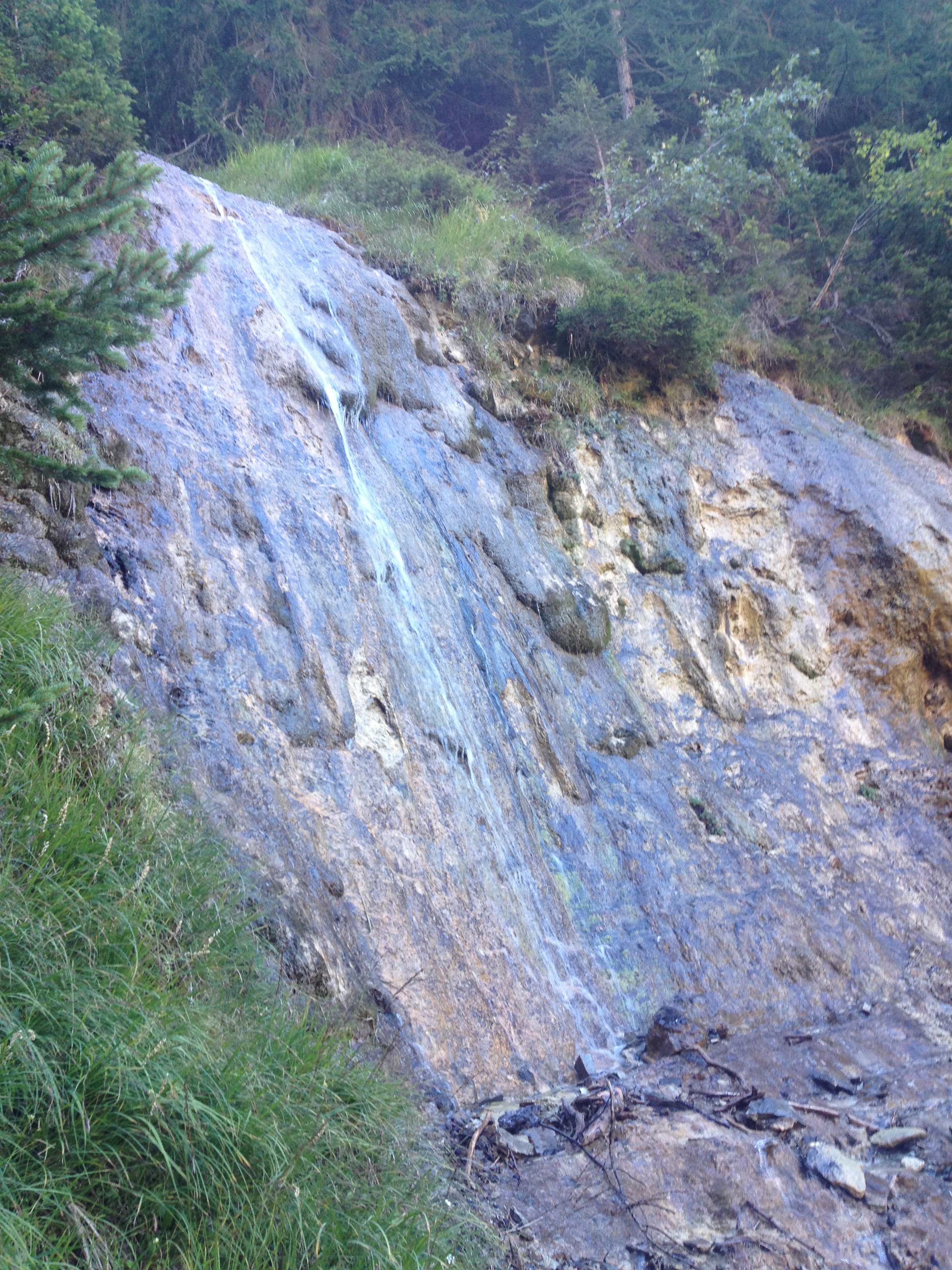
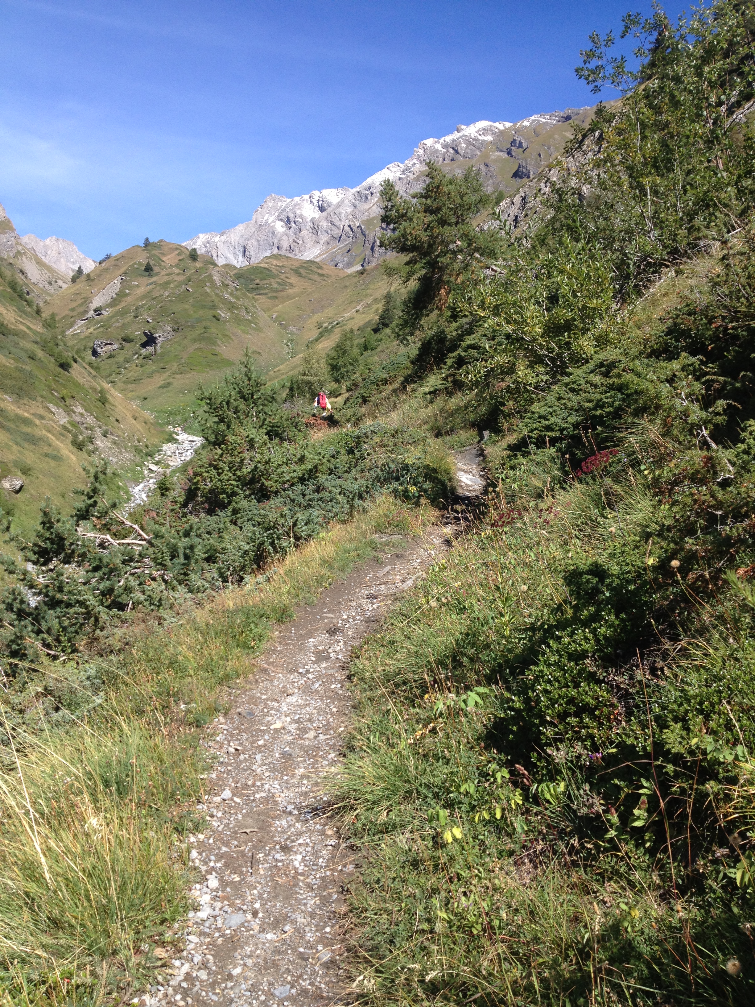
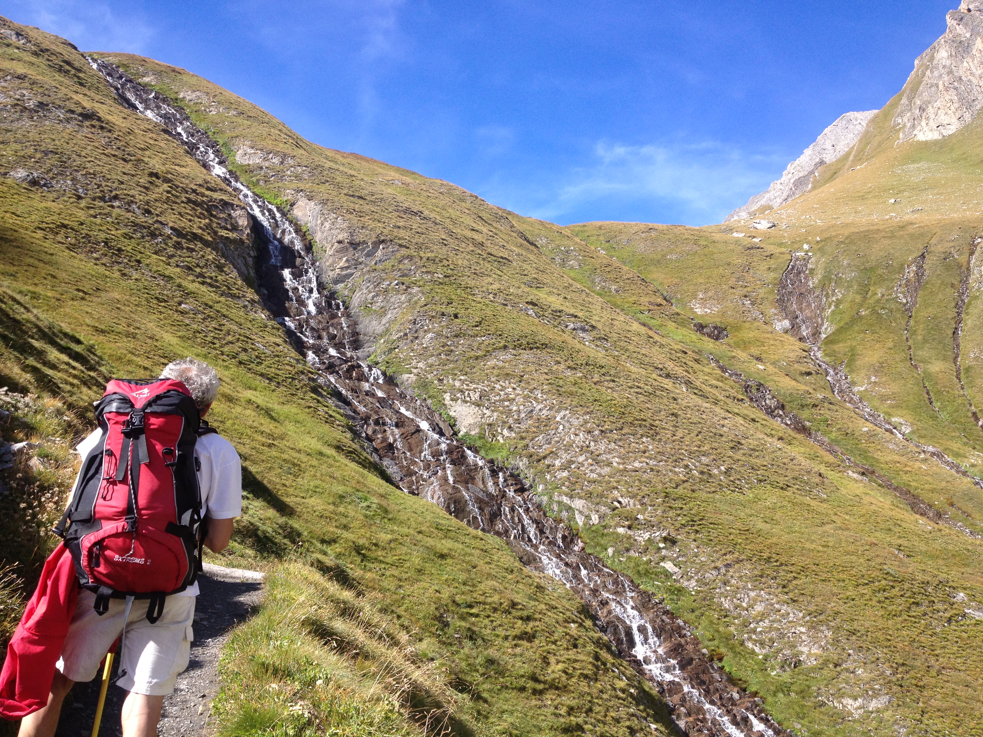
Comments (0)
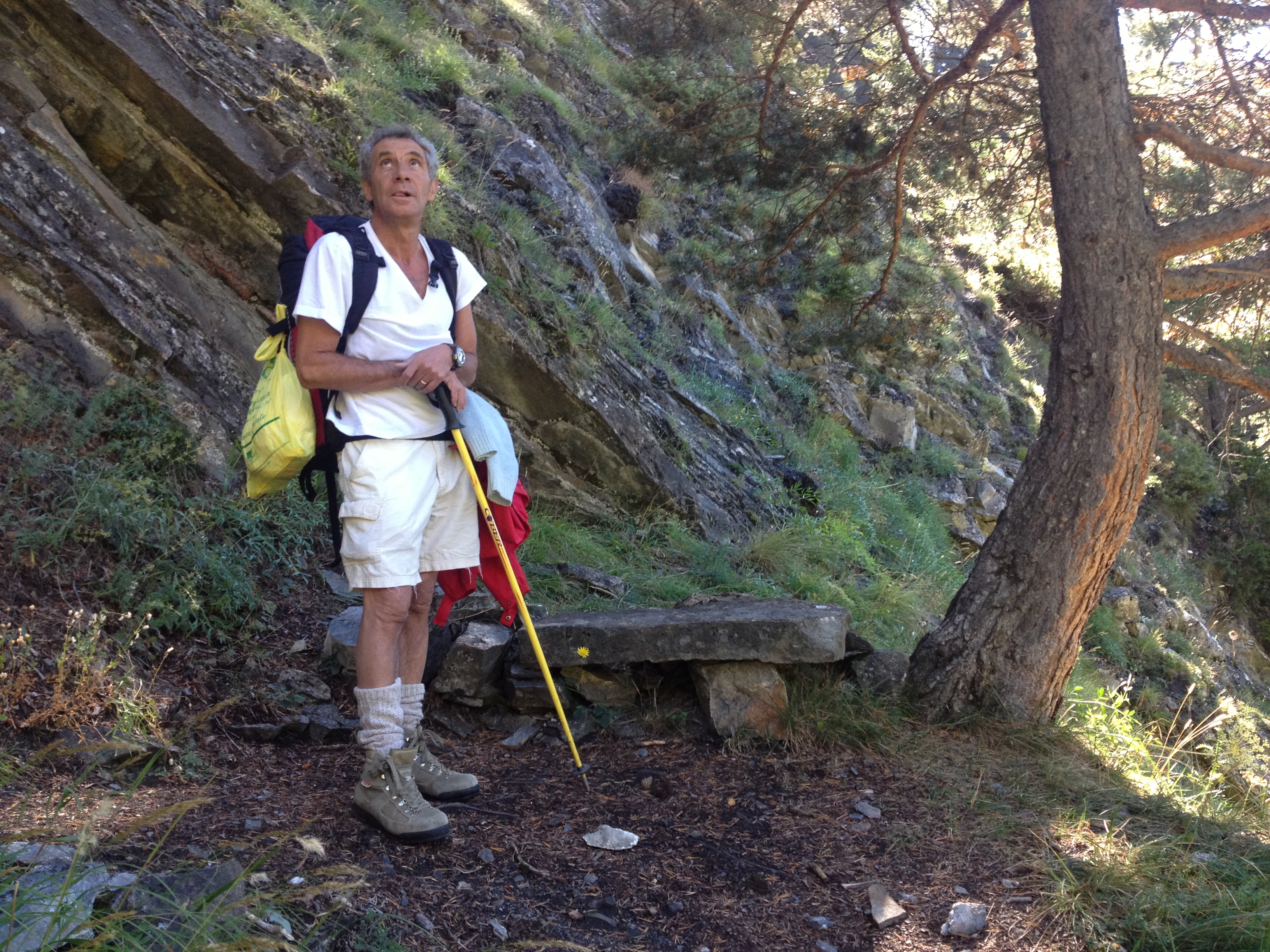
New comment added!
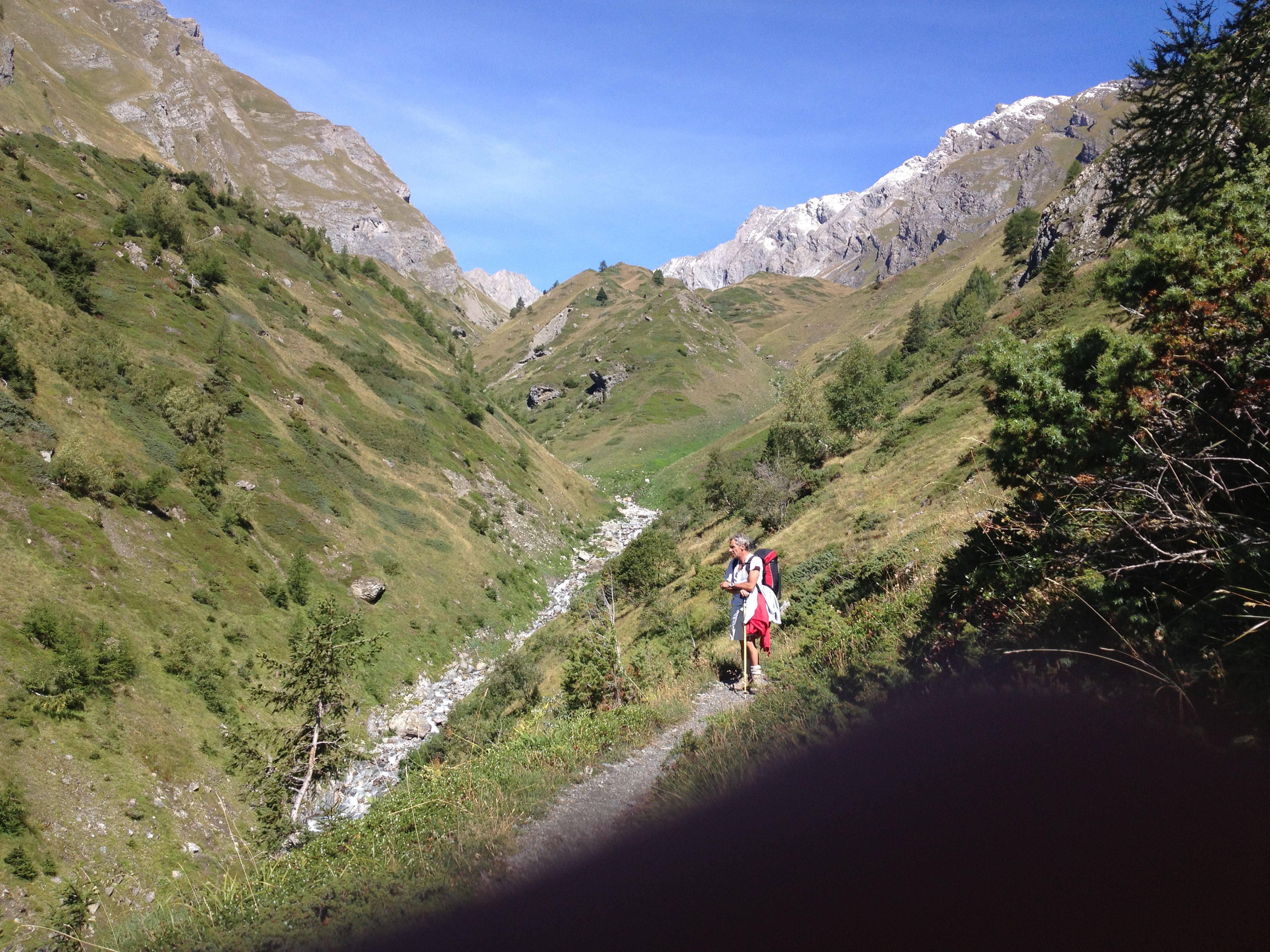
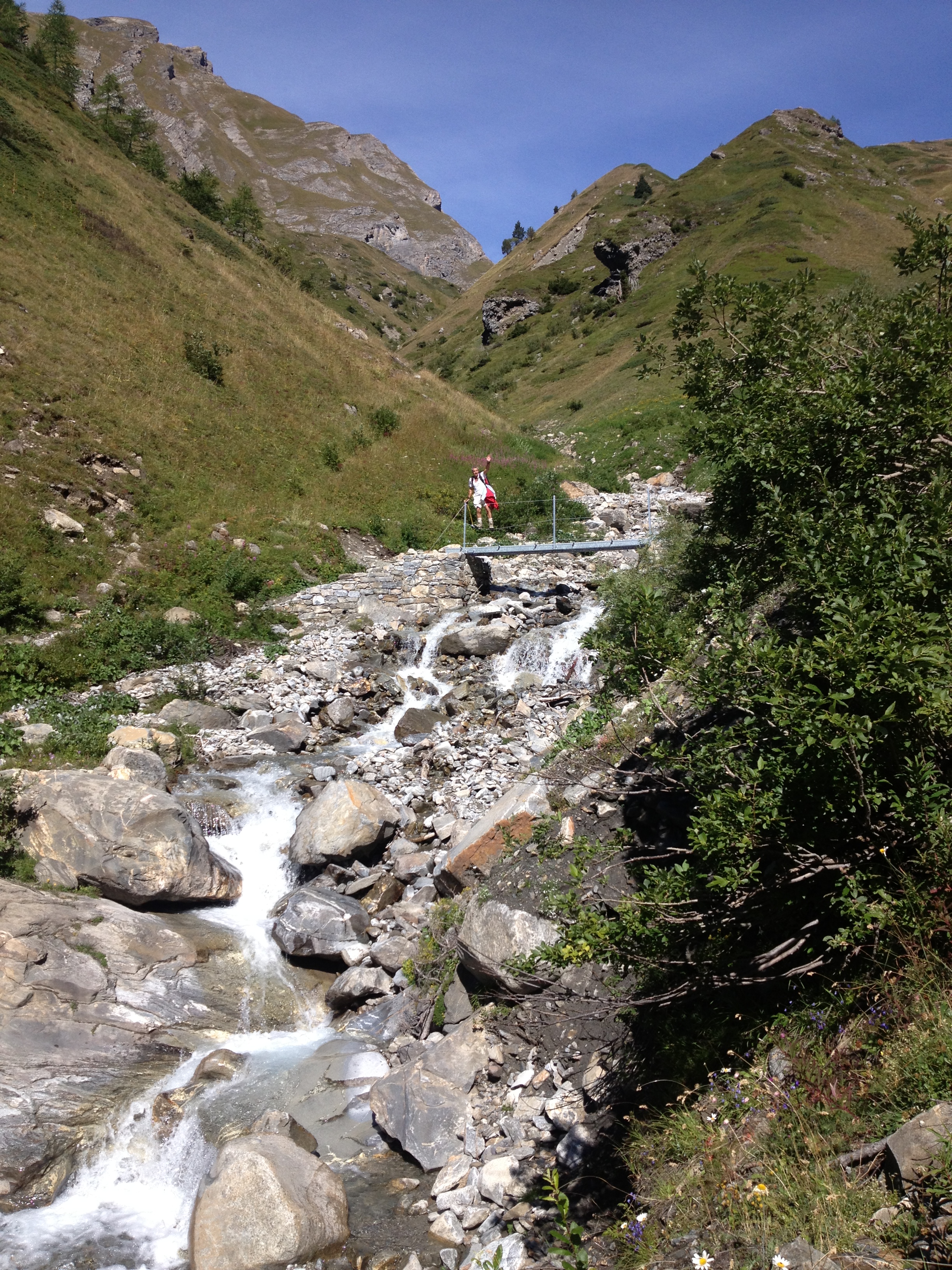
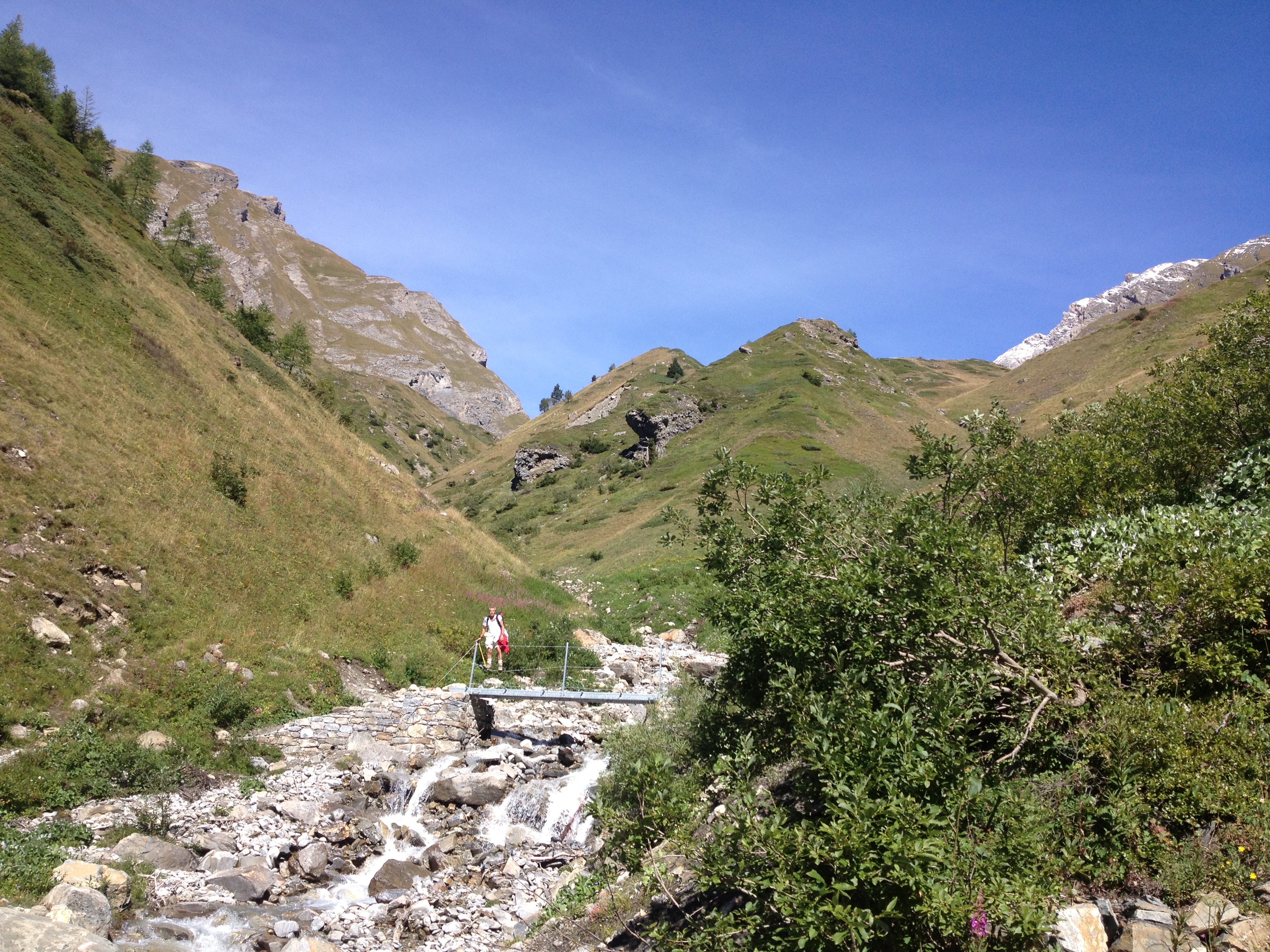
Sign in to leave a comment
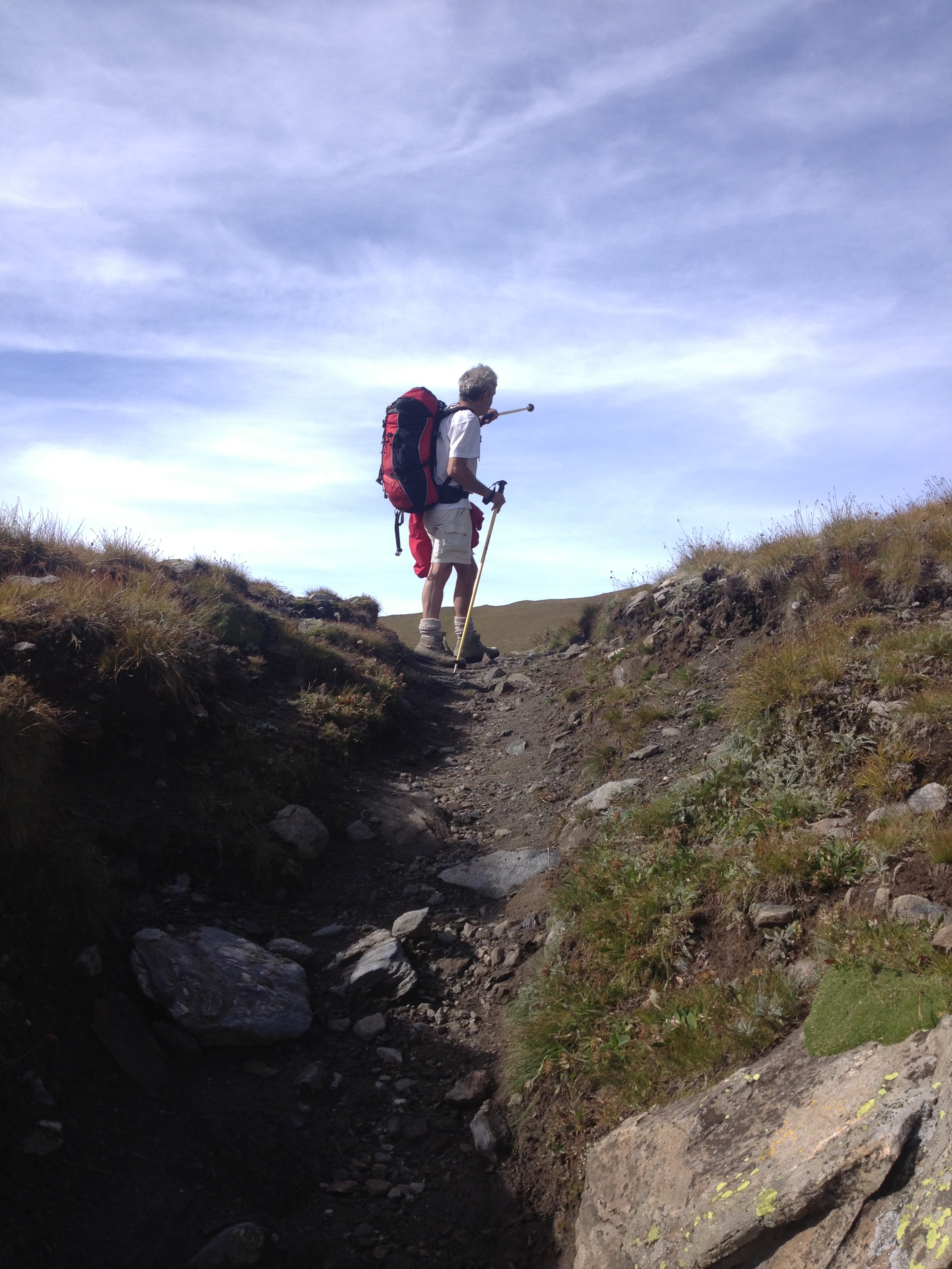
No comments yet. Be the first to comment!


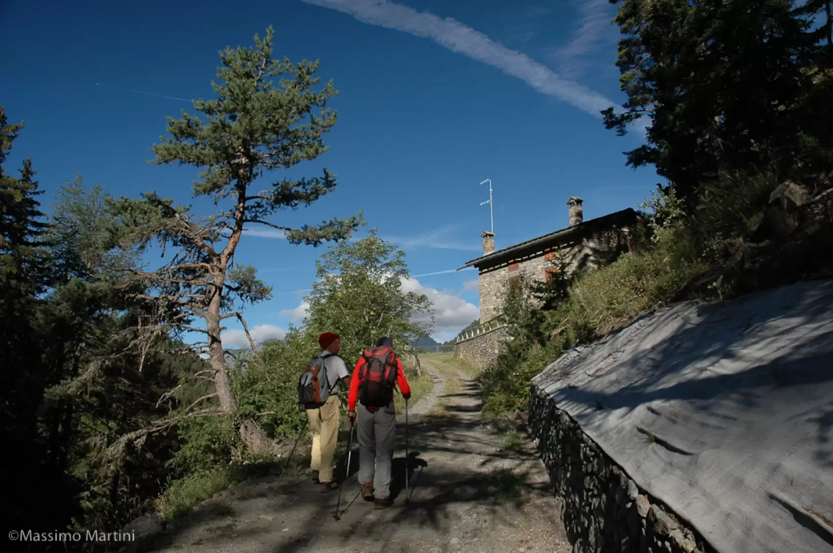
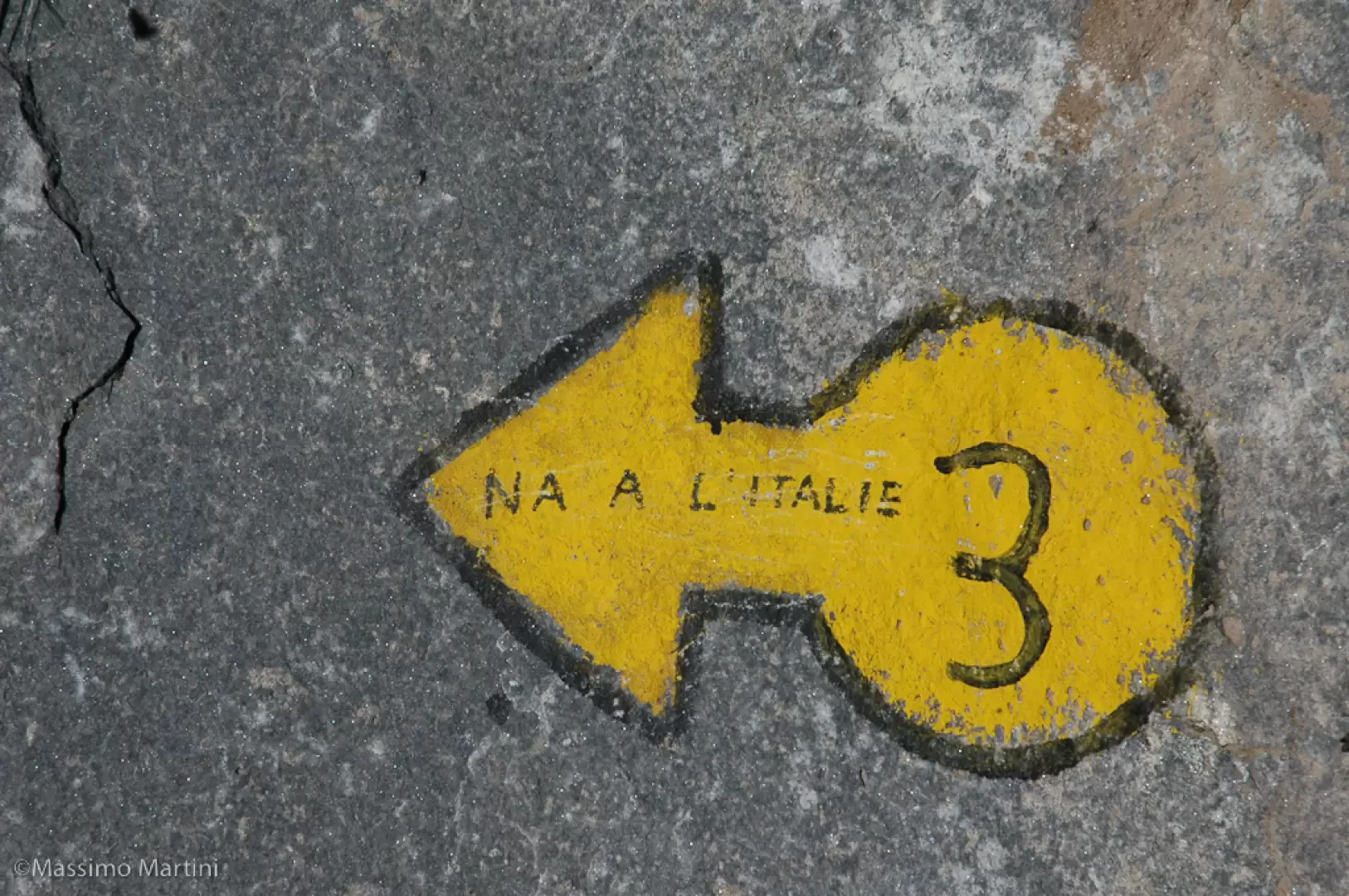
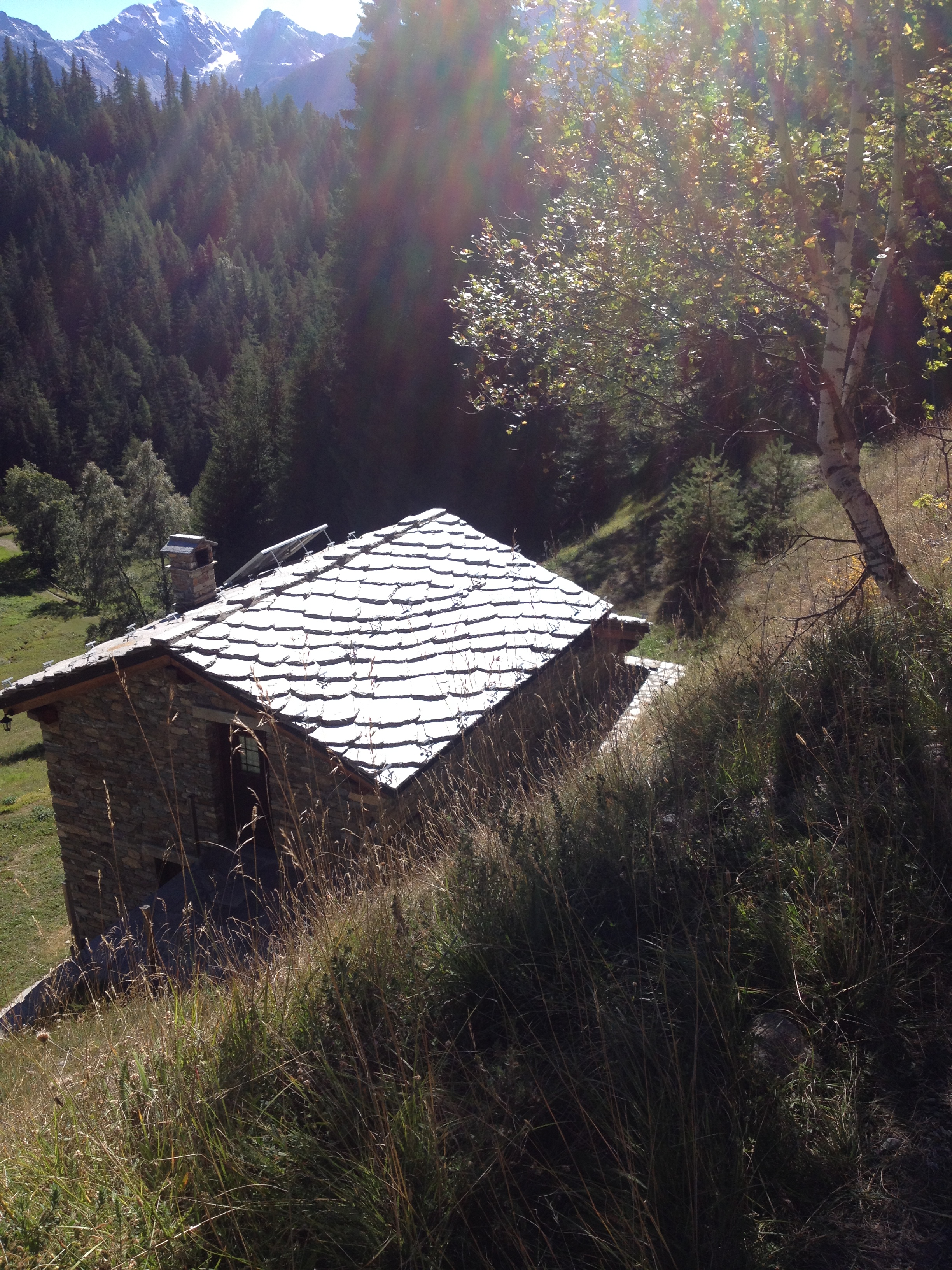
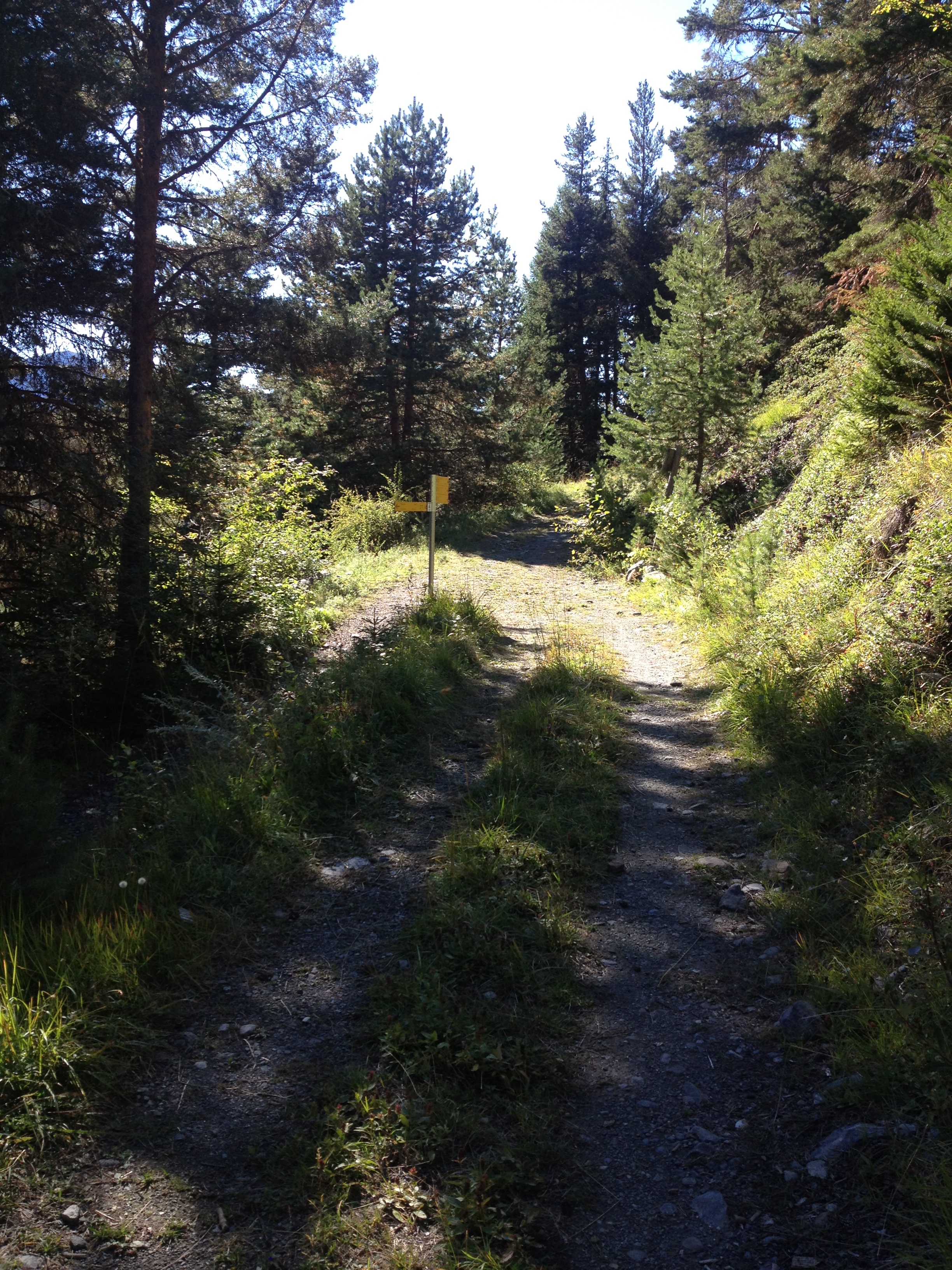
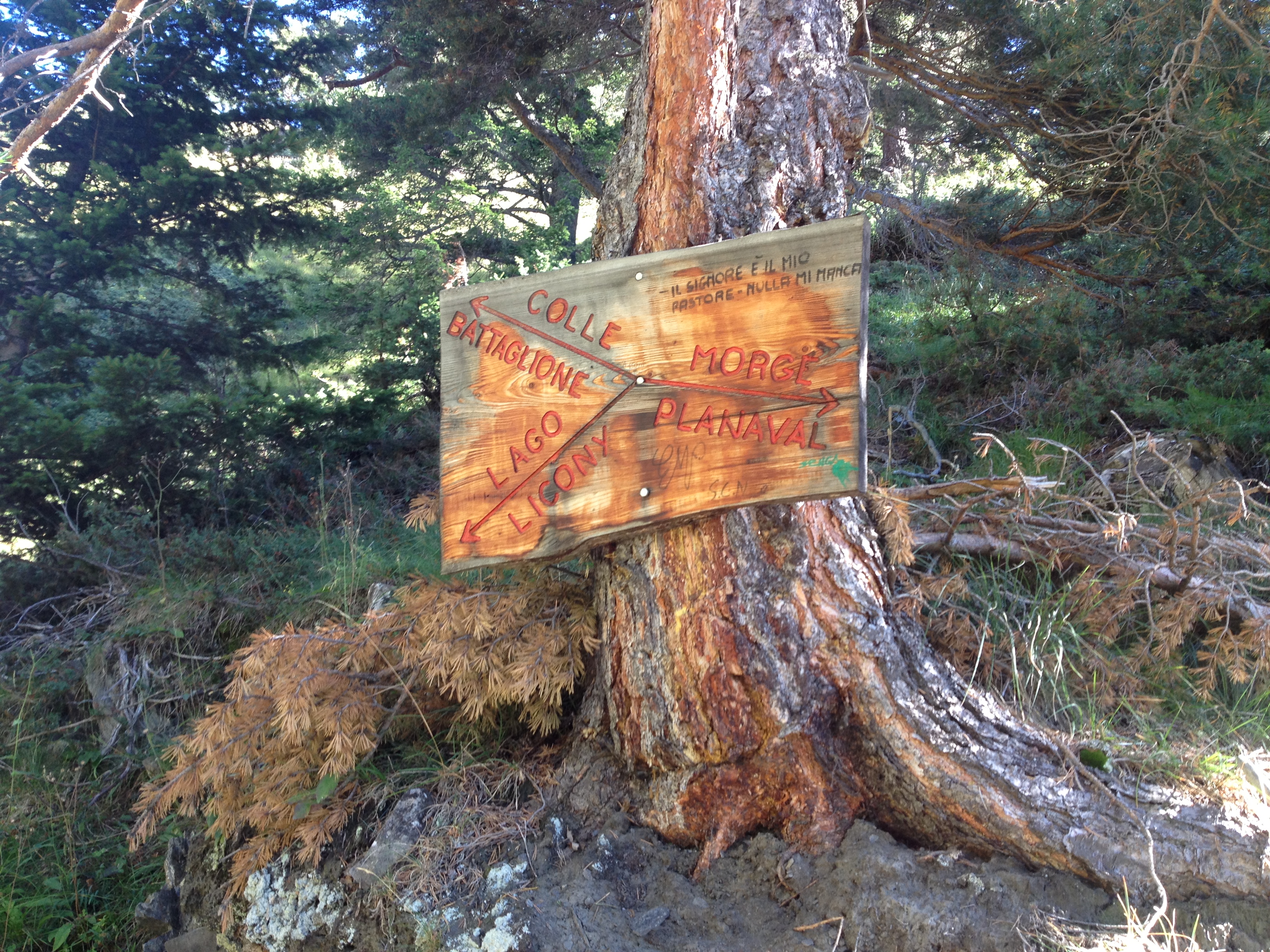
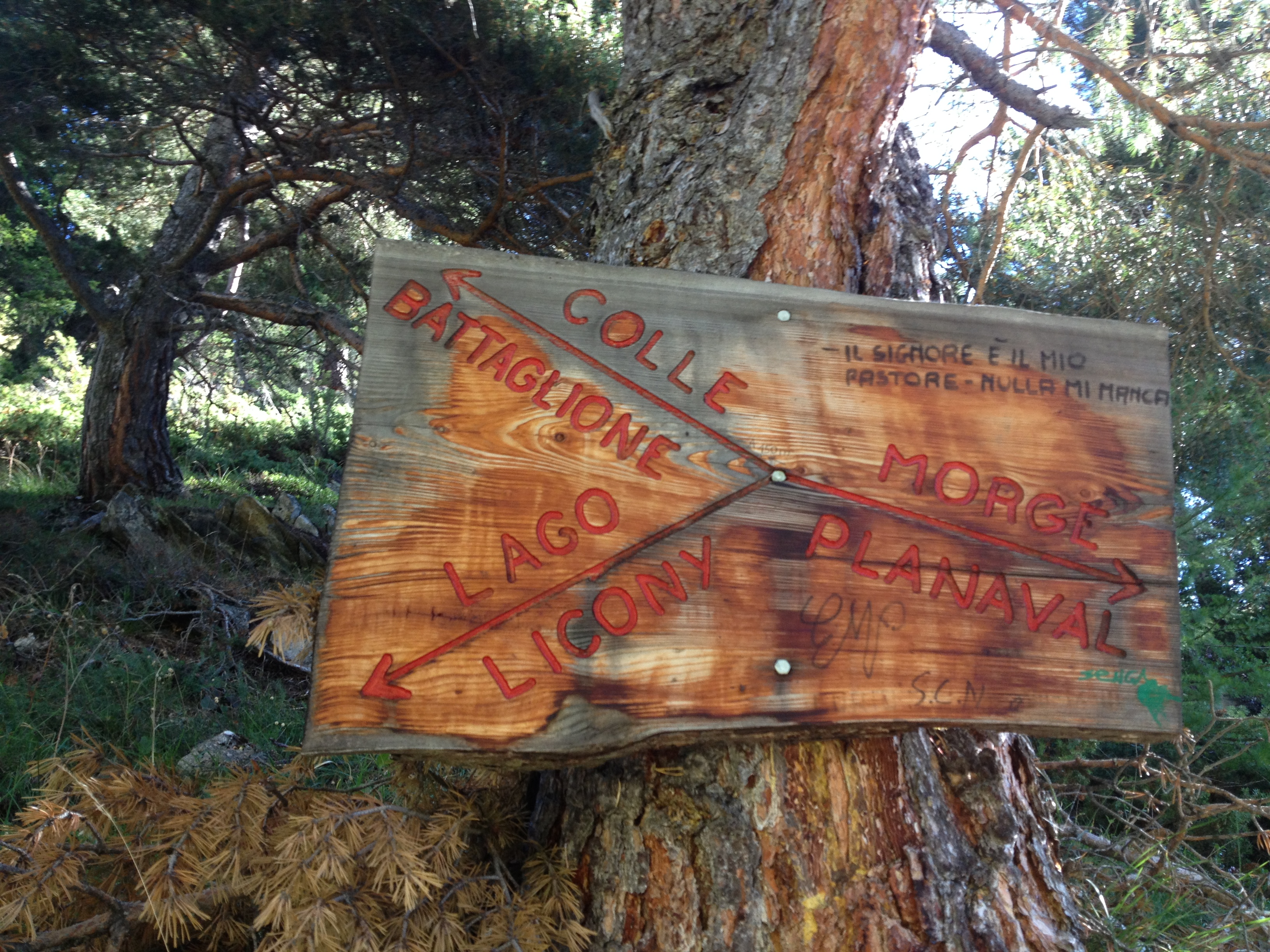
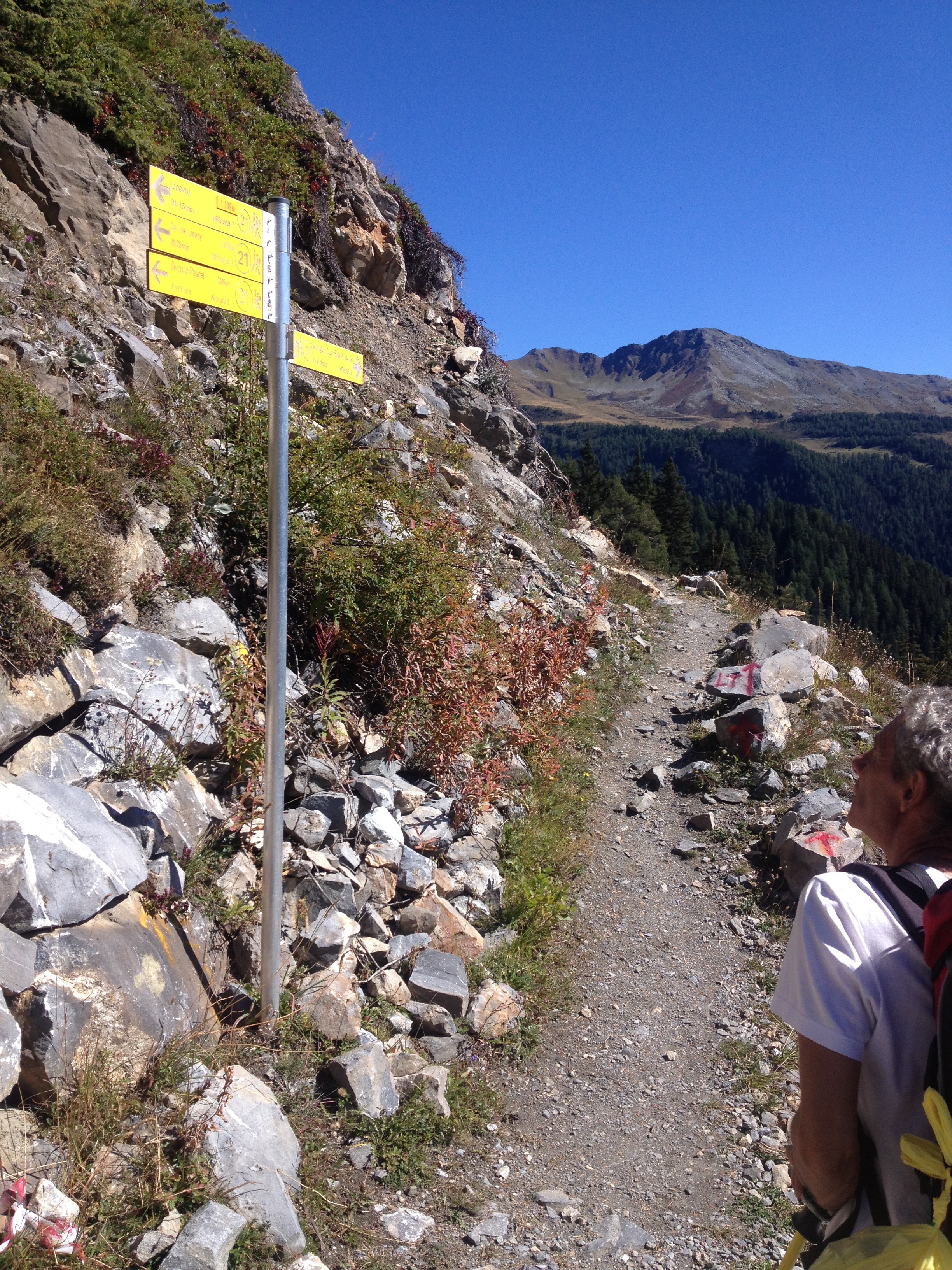
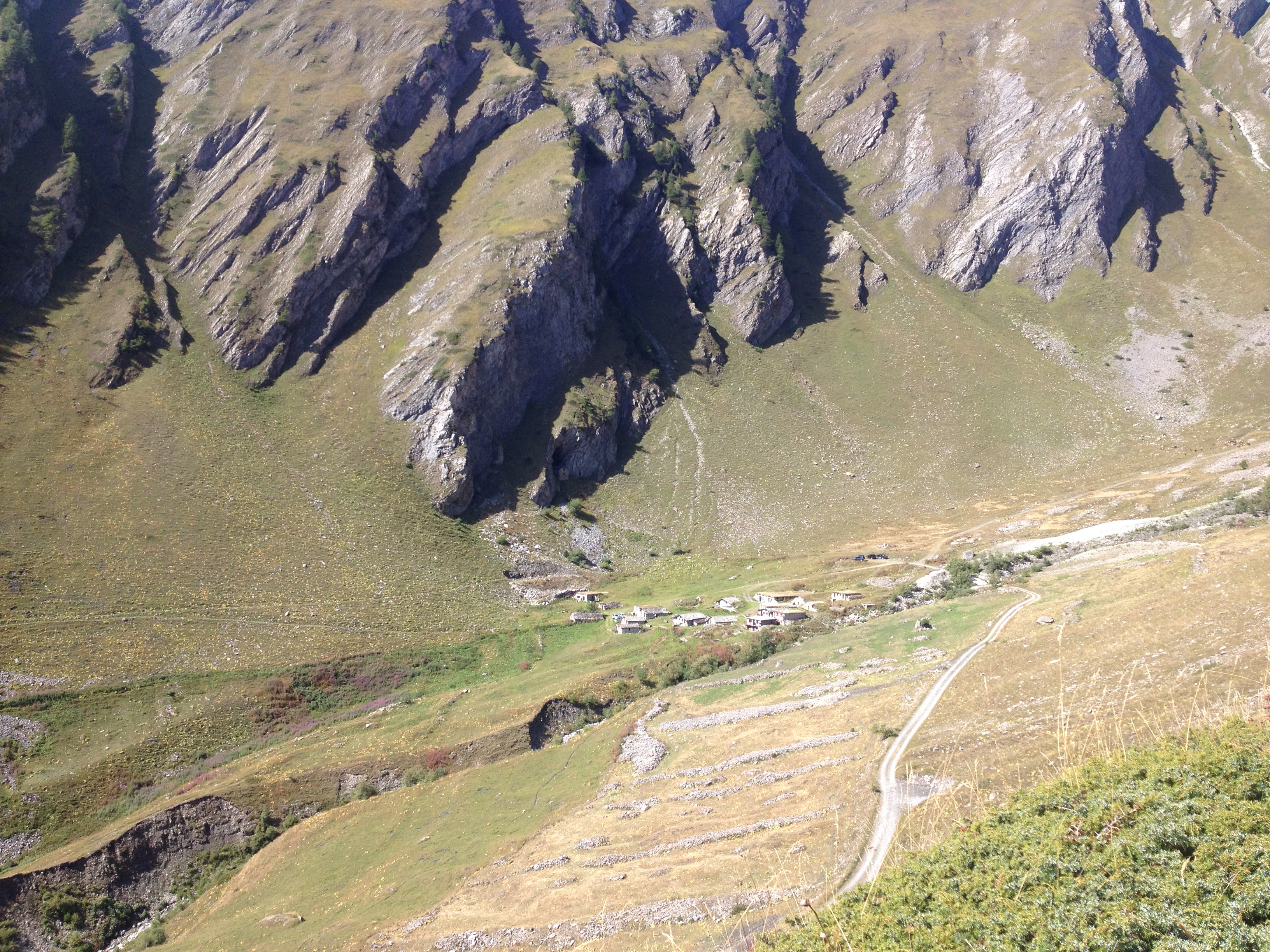
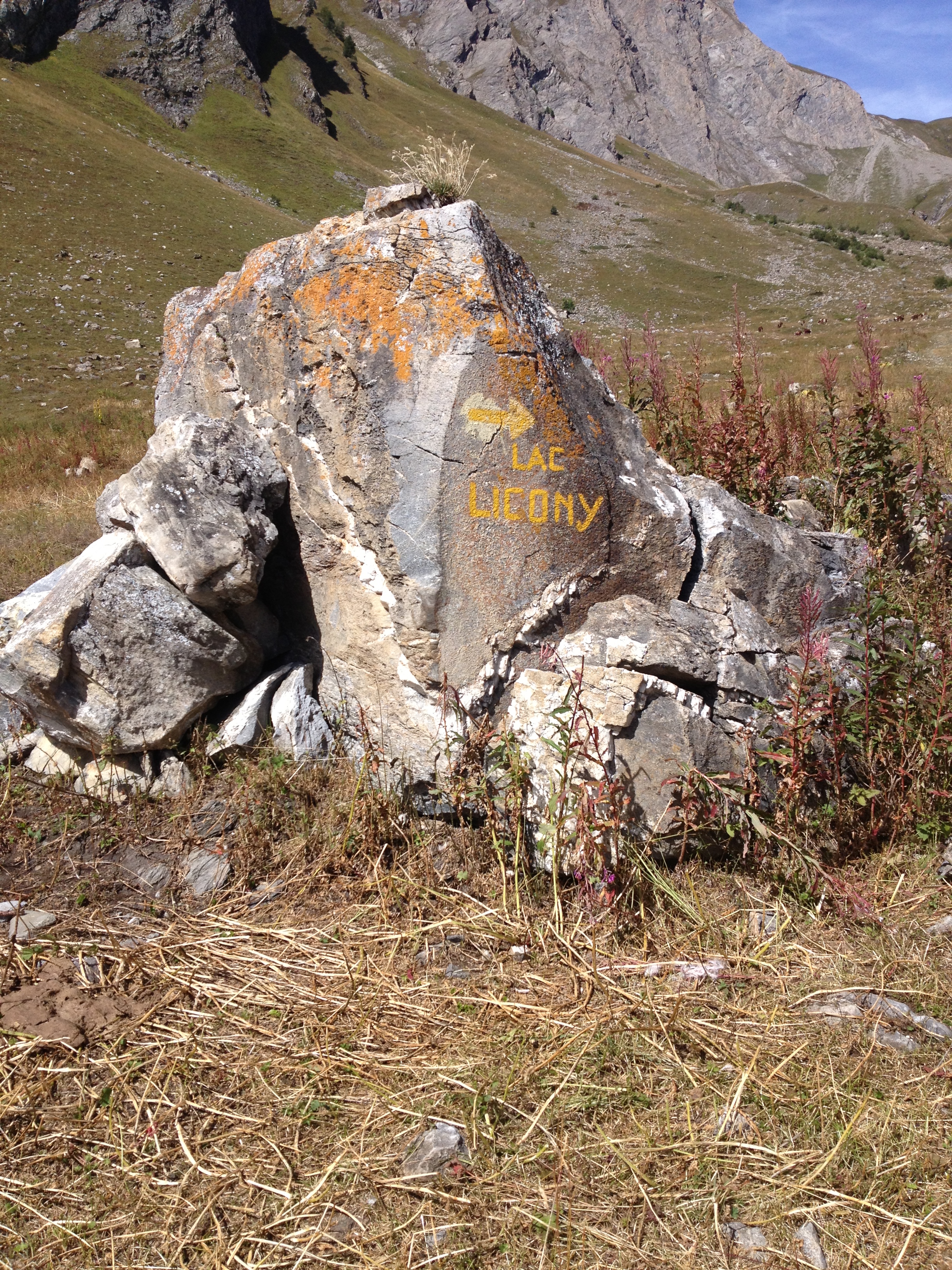
Comments (0)
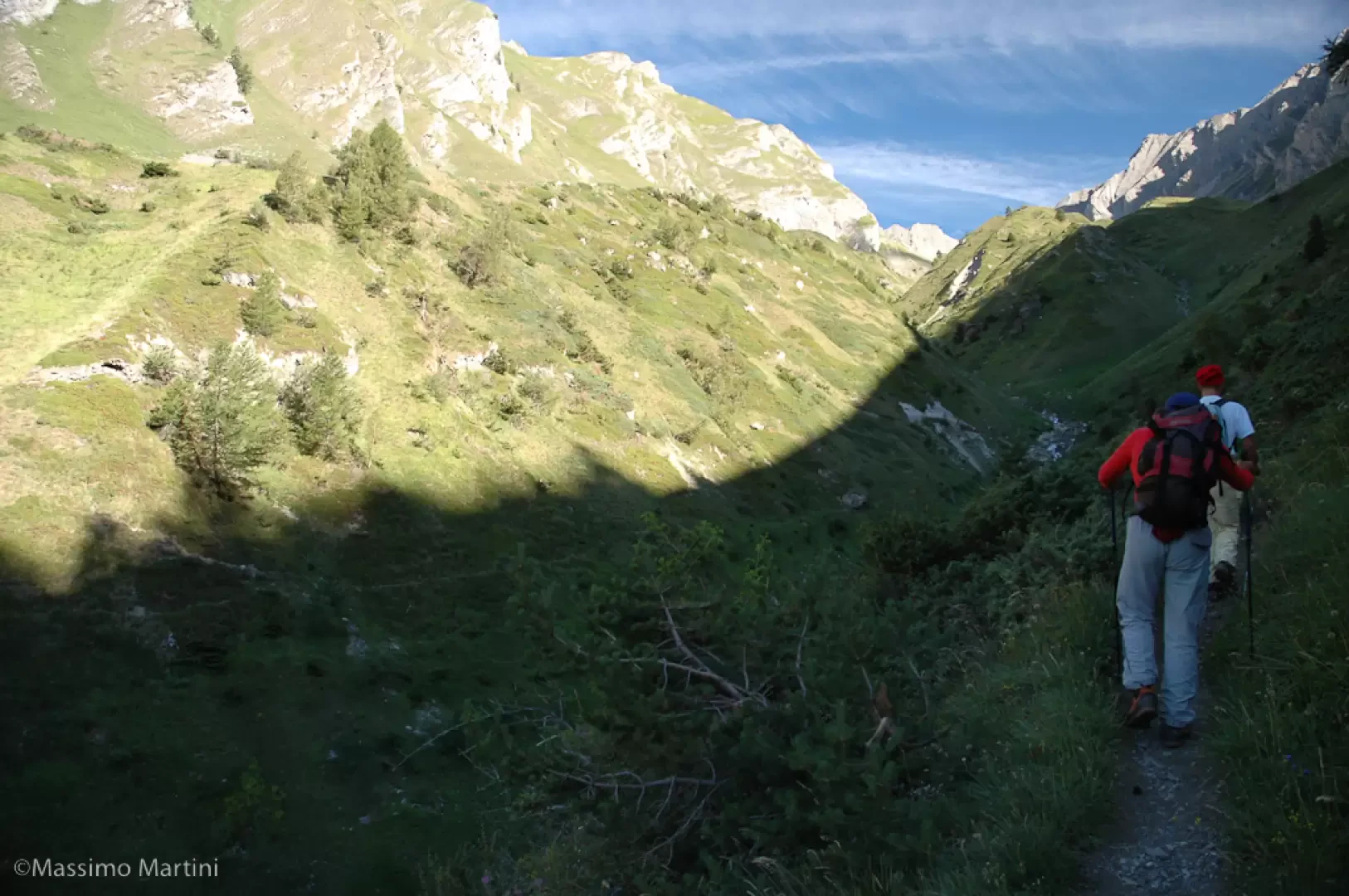
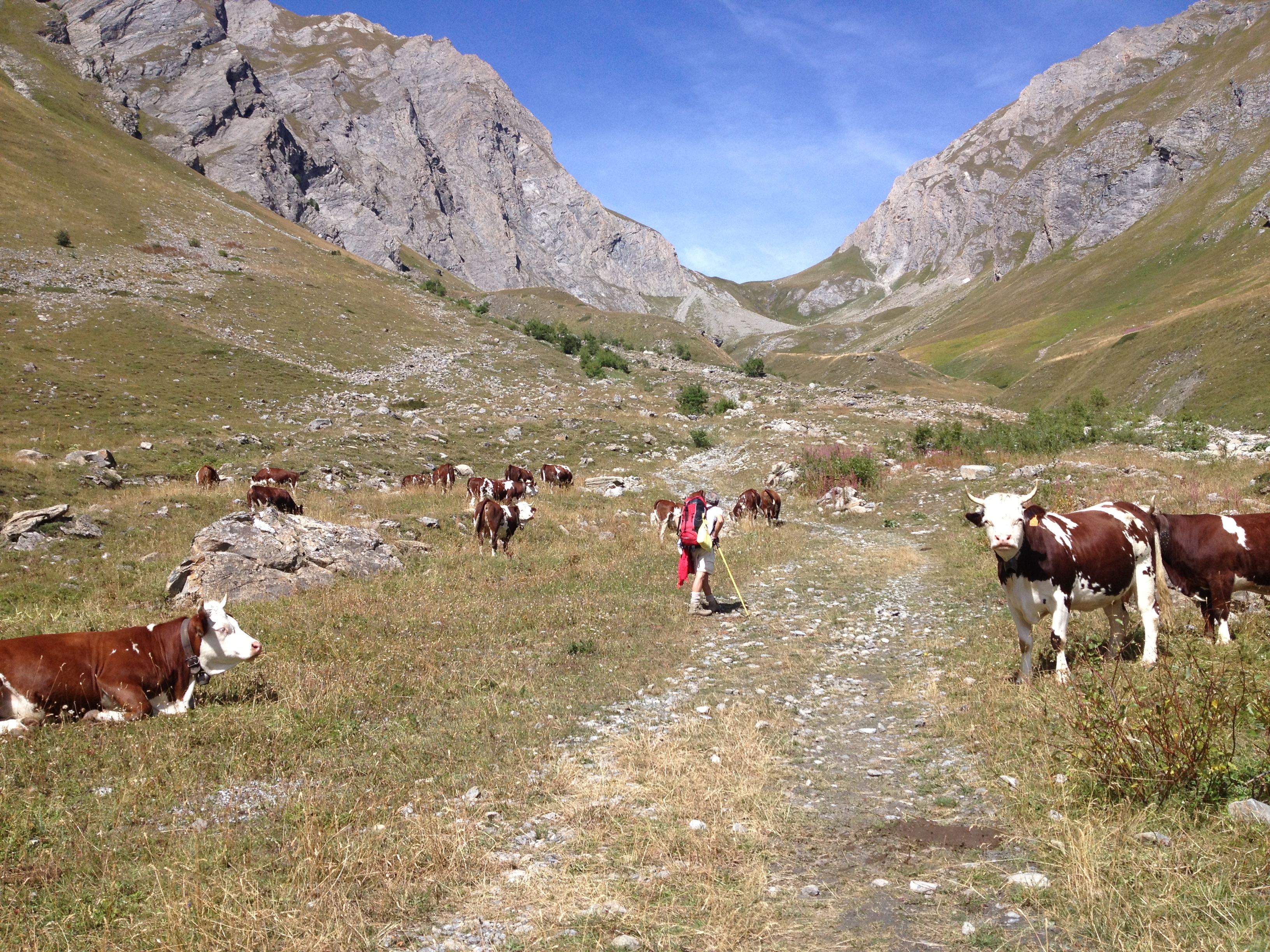
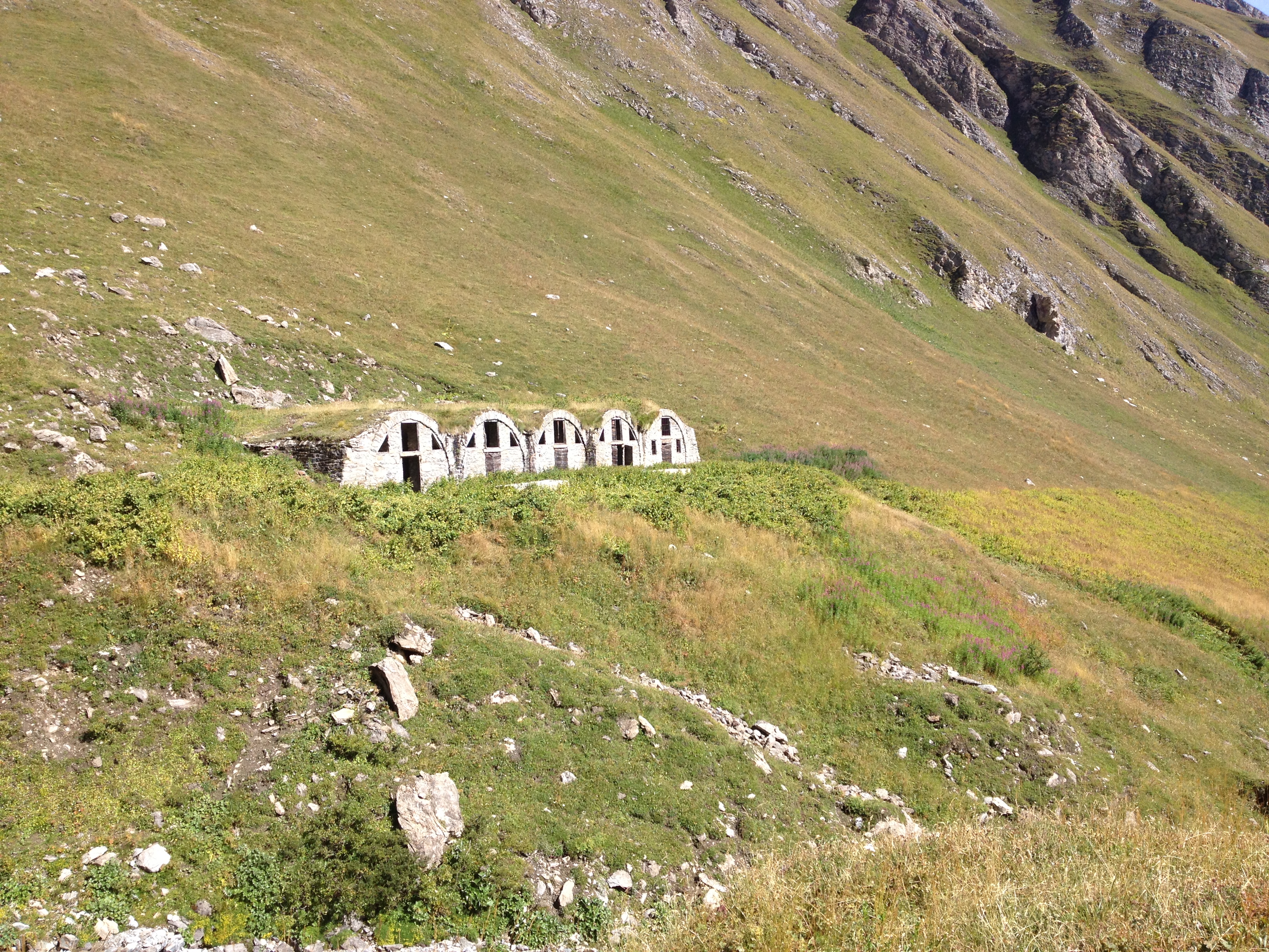
Sign in to leave a comment