Marco Bonati
Wrote 243 reports, for a total distance of 70,45Km up and a total elevation gain of 197,59Km and 1.760 hours of walking
Active filters:
User: 438
Showing 243 results
with active filters
Loading...
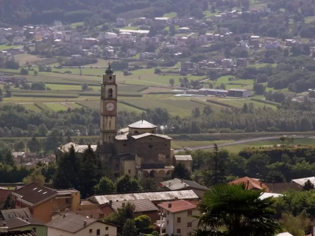
Contrade of Berbenno
A wide tour leading to visit the Rhaetian slope north of Berbenno, areas that are currently uninhabited but bear the...
T2
0.00 Km
166 m
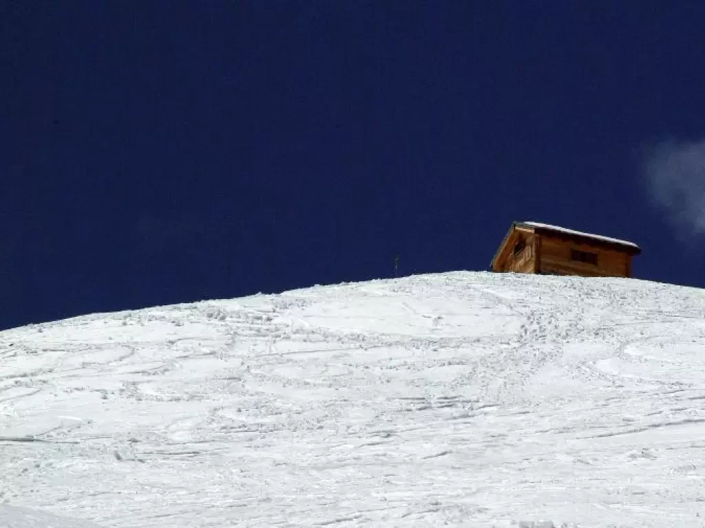
Cecchini Bivouac
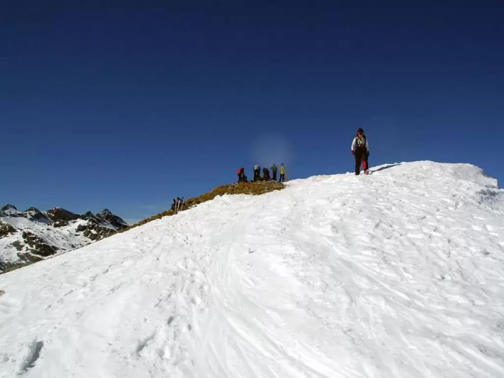
Classic excursion, mainly ski mountaineering, but also very suitable for snowshoes. You reach a bivouac (already visible at the car...
MS
0.00 Km
865 m
Monte Berlinghera, from San Bartolomeo
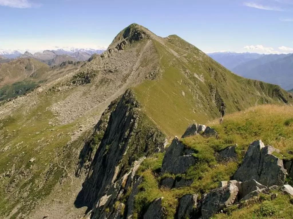
A hike of panoramic interest, because the peak, despite its modest altitude, is isolated at the convergence of Valtellina and...
WT3
0.00 Km
726 m
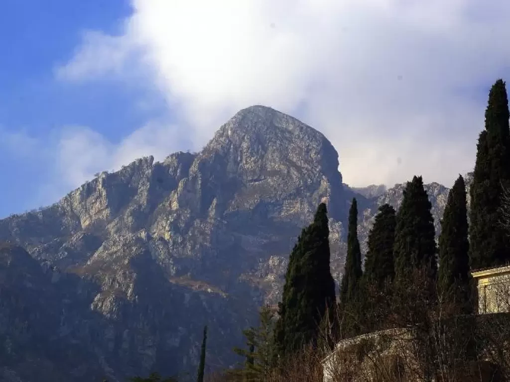
Corno Birone, from San Martino
This is a non-trivial excursion, which can be done all year round (but is prohibitive in the hot months due...
T4
6.00 Km
816 m
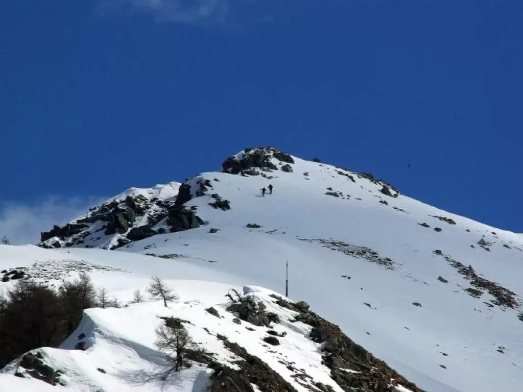
Monte Salmurano, from Pescegallo
Easy, but interesting tour over varied terrain with always sufficient to abundant snow. Quite popular, sometimes also for introductory ski-mountaineering...
MSA
0.00 Km
815 m
Monte Marmontana, from the Giovo Pass
A hike that in a wide loop along the Swiss border joins three refuges (all former G.d.F. barracks) and two...
0.00 Km
610 m
Suretta bivouac, from Monesplga
Simply the most beautiful descent in the entire valley. Even more beautiful (and difficult) with the spring variants. Incomparable views...
BSA
0.00 Km
840 m
Veronica Cave
Beautiful excursion that, through the bucolic Alpe Musella and the suggestive Vallone di Scerscen, leads to the conspicuous limestone bank...
T2
0.00 Km
800 m
Vicima Pass, from Campo
Beautiful excursion, very scenic and virtually unknown to non-locals. Despite the recent marking out of a forest track, the environment...
T2
0.00 Km
1047 m
Monte Piscino, from Biorca
A scenic hike through now abandoned alpine pastures on the less 'fortunate' side of Val Tartano: avalanches in winter and...
T3
0.00 Km
951 m
Monte Pitalone, from Arzo
Short excursion for purely panoramic purposes suitable for filling a half-day available. Mount Pitalone, observed from the opposite side of...
T1
0.00 Km
613 m
Alpe Pescée, from Tornadri
An unprecedented excursion in its extension to Alpe Pescée, which is mainly of landscape and geological interest. It always runs...
WT2
0.00 Km
624 m
