Contrade of Berbenno


Edited by:
Marco Bonati
Updated at: 06/05/2026
Access
Da Milano a San Pietro Berbenno lungo le statali 36 e 38; all'incrocio si svolta a sinistra in salita sulla provinciale per Berbenno. Dopo qualche ampia curva si svolta a destra in Via Conciliazione fino a trovarsi sotto il terrapieno della chiesa di Santa Maria Assunta; si trova parcheggio in corrispondenza dell'ingresso della chiesa.
Introduction
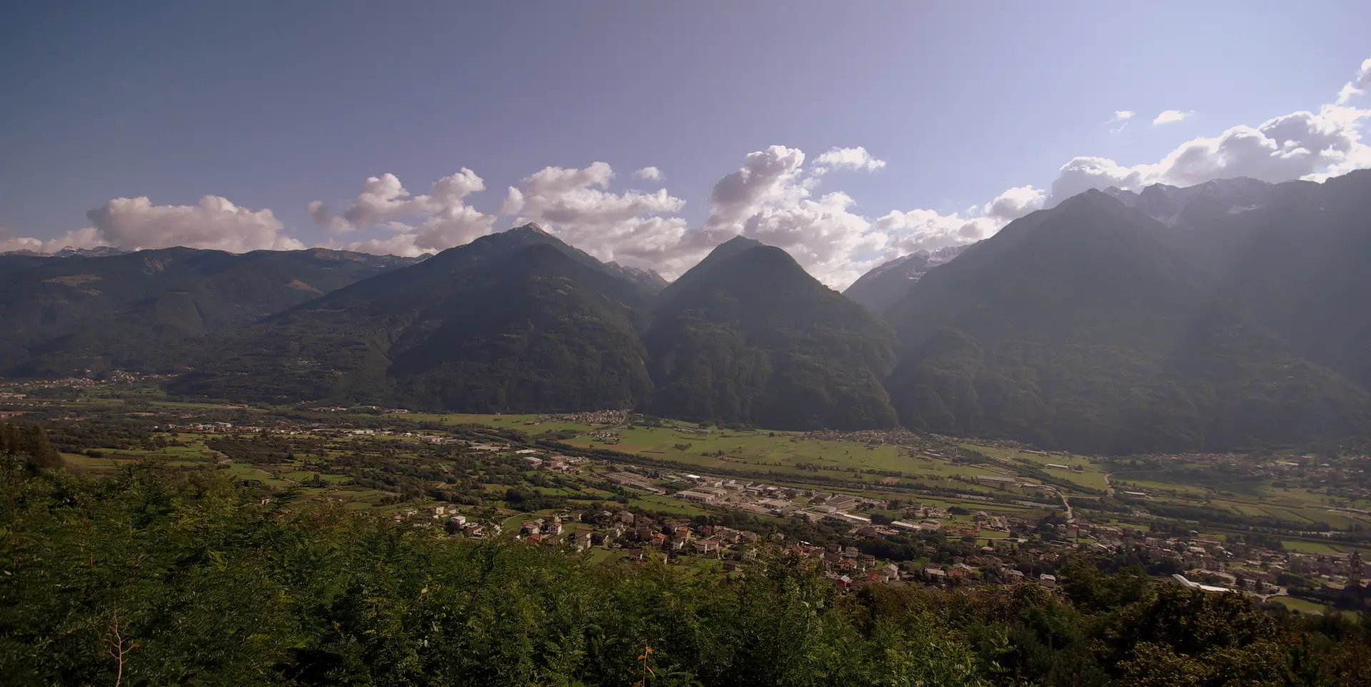
A wide tour leading to visit the Rhaetian slope north of Berbenno, areas that are currently uninhabited but bear the signs of past activities related to the cultivation of the intermediate altitudes of the mountain. There is of course no shortage of signs of deep-rooted Catholic devotion, also in contrast to the long historical period of subjugation to the Protestant Grisons.
Description
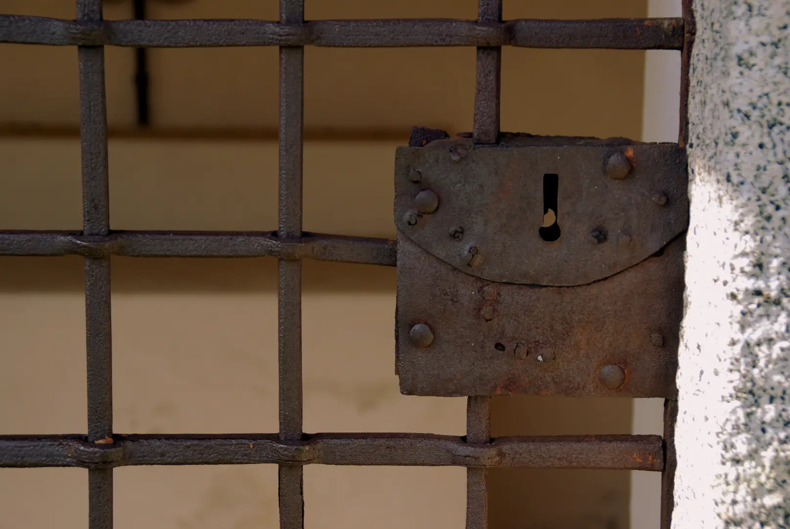
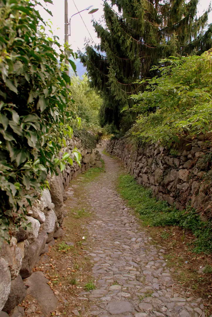
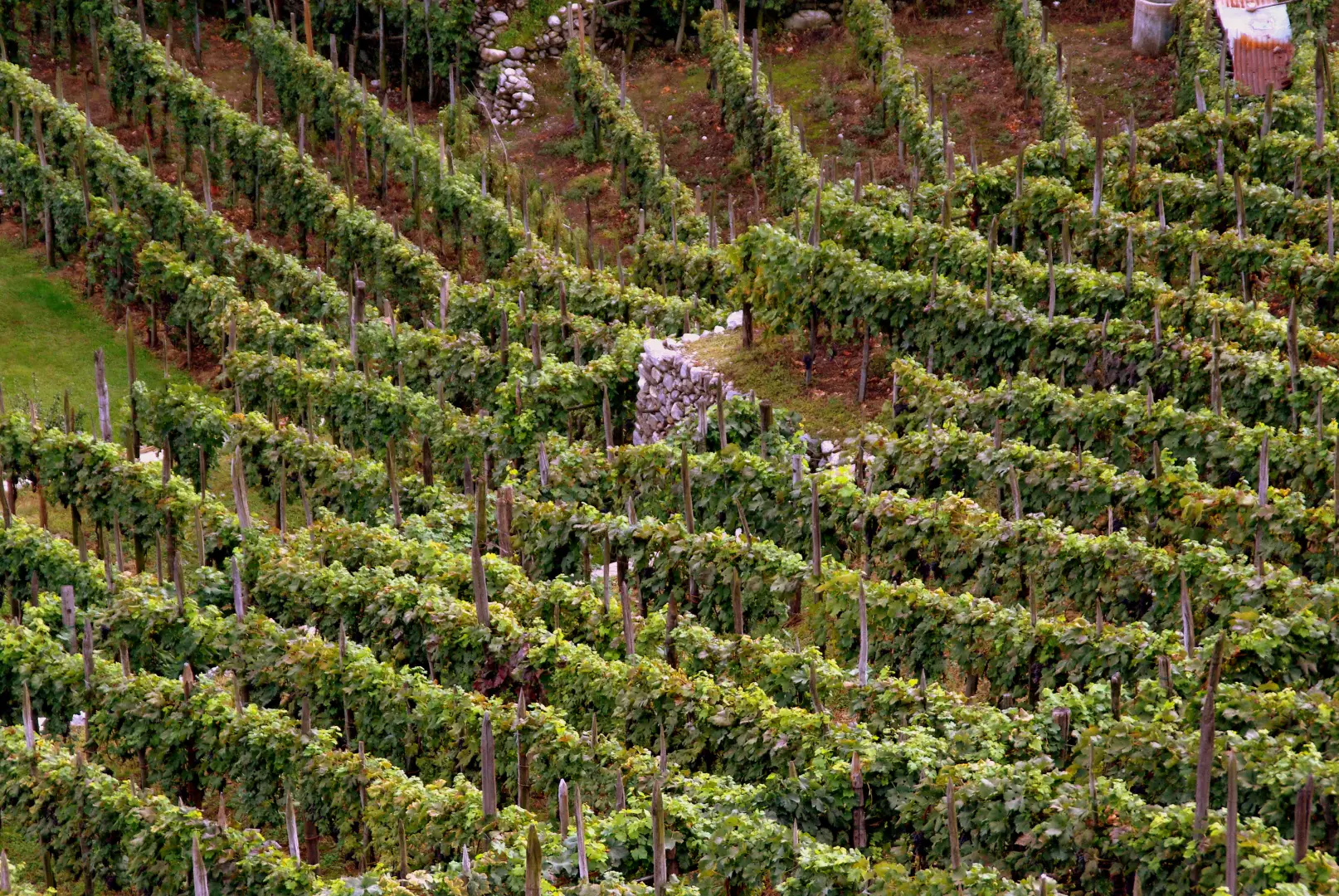
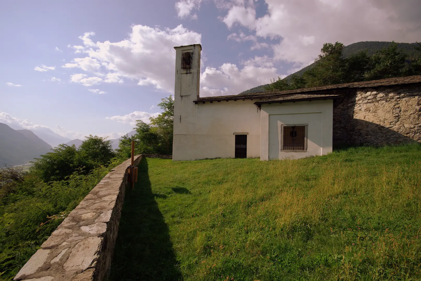
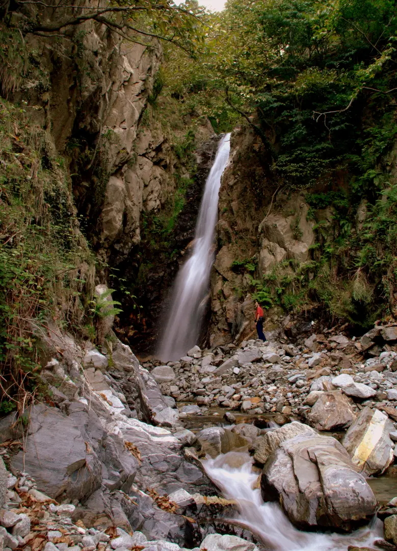
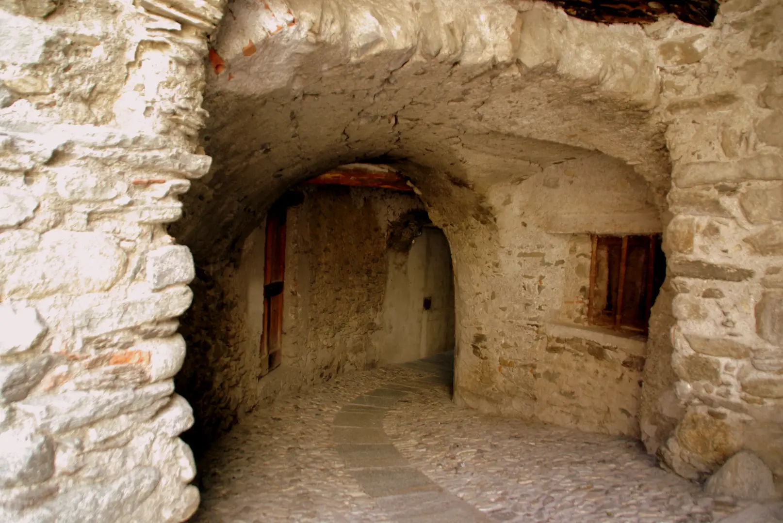
From the archpriest's church we ascend shortly to the square of the visible town hall and turn right into Via Roma, which we follow until we pass into Via Vanoni; we leave it and head towards the church of S. Abbondio a Polaggia along an inclined cobbled surface: two narrow S-shaped bends lead to the churchyard. We move away from it, passing under ancient houses through a barrel-vaulted tunnel: in a few dozen metres we reach Contrada Dusone, of which we follow Via Fontana to the final fork. We choose the upstream direction, on an initially cemented road then a dirt road, as far as a crossroads: following the central track, we soon reach a mill - the last remaining in a series along the Finale stream - restored in 1998 and didactically in working order. From the mill, proceed along a path that, with a wide hairpin bend, leads to the final lay-by of a dirt track above. On the ruins of a hut, we notice the inscription "cascata" (waterfall): but before proceeding, it is convenient to make a digression towards the church of S. Gregorio; climbing along a beautiful cobbled path flanked by dry stone walls ("risc"), we arrive on a semi-abandoned carriage track, which in a few dozen metres of gentle ascent leads to the meadow-ground of the little church. This is the usual religious-fortification building guarding the valley floor. Returning to the "waterfall" hut, we continue in the direction of the Finale torrent's gravel bed, which, followed as best we can, in about 15 minutes, leads to the approximately 20-metre waterfall (the "sultun"), in a suggestive wet environment. After this second digression, we return to the point where we descended into the stream bed and, on the opposite side, look for a barely visible path. After leaving the strip of river vegetation, the track becomes clearly more visible and continues for a long time in a cluttered mixed forest of chestnut and other broad-leaved trees. You pass a couple of poorly marked valleys and suddenly the trail flattens out in a rather sparse chestnut grove: immediately take a track to the left; the path, steeply descending on ground eroded by rainfall runoff, soon leads alongside two abandoned huts, located above a vast meadow. Immediately afterwards, it joins a mule track in "risc", which is well signposted in red and white paint: follow it along the steepest line until you reach a fork; leave the signs for a secondary path to the left. At an enclosed meadow, climb briefly to the left up to an abandoned cart-track, a few metres from the "Madonnina", an old (1938) chapel juxtaposed with the ruins of a summer colina. Continue along the grassy track to cross the Finale stream again a few dozen metres downstream from the mill (initial crossroads). Go back to Dusone and, at the end of Via Fontane, turn right into Via Piana, a cross-country road among the vineyards that descends steeply to Berbenno, becoming increasingly narrower and with a "risc" bottom in Contrada Case Pernici. Lastly, it comes out into Via Roma, near the town hall.
Photo gallery

Comments (0)
Sign in to leave a comment