Marcello Rossi
Wrote 30 reports, for a total distance of 7,97Km up and a total elevation gain of 18,46Km and 190 hours of walking
Active filters:
User: 1956
Showing 33 results
with active filters
Loading...
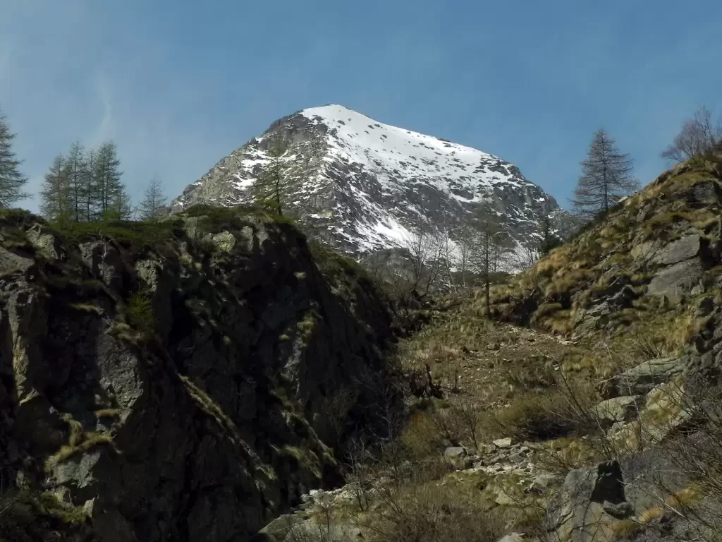
Palon de Tzère, from the Frachey car park
Rhike classified as EE only due to the lack of a path between the Seure Alp and the summit.
0.00 Km
981 m
Dondena Refuge, from the Lac Muffé car park
A pleasant hike on an easy dirt track leading to the Dondena hut in the Ononi valley (a side valley...
T2
0.00 Km
0 m
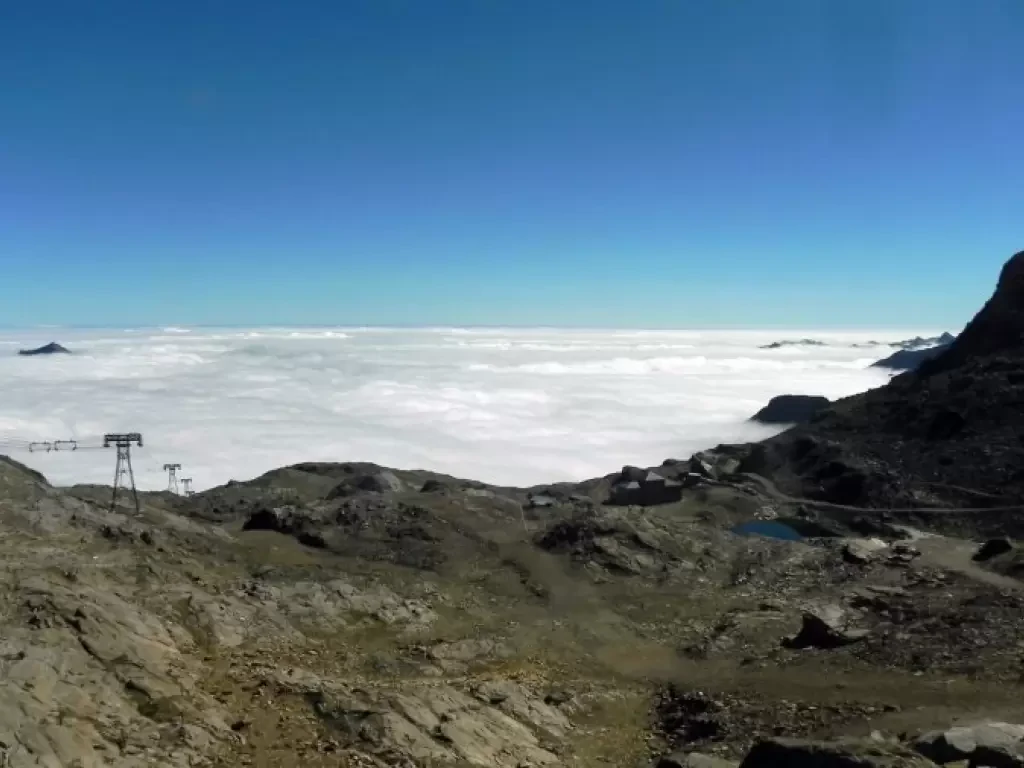
Col d'Olen, from Staffal
The Col d'Olen is located along the Tour du Monte Rosa and connects the Gressoney valley with Valsesia, from the...
0.00 Km
1135 m
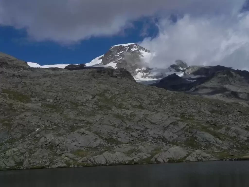
Gressoney Blue Lake, from Staffal
Salita al lago Blu di Gressoney, meno famoso dei due laghi ononimi della valle d'Ayas e di Valturnanche, ma ugualmente...
0.00 Km
0 m
Alpe della Vecchia Inferiore, from Piedicavallo
Ascent to the lower Alpe della Vecchia, just below the rifugio della Vecchia in Valle del Cervo. The entire ascent...
T2
9.40 Km
820 m
Tour of the Truc de Tsantelèina
Giro ad anello intorno al Truc di San'Elena con partenza dal rifugio Benevolo.
14.65 Km
805 m
Lacs de Fenètre, from Baou
Piacevole escursione che porta a tre laghi in territorio svizzero che si trovano su un balcone panoramico d’eccellenza sul massiccio...
0.00 Km
0 m
Alpe Casarj, from Bocchetto Sessera
A short excursion to an alpine pasture in Valsessera that allows for different views than the classic Bocchetto Sessera.
Floristic...
T2
11.99 Km
0 m
