Search
Category
Tags
Nearby
Location:
Latitude:
Longitude:
0 km
100 km
global.path
km
-
km
m
m
Hike Type
Difficulty
All
Climbing
Hiking
Mountain bike
Mountaineering
Ski-mountaineering
Trekking
Snowshoeing
Via ferrata
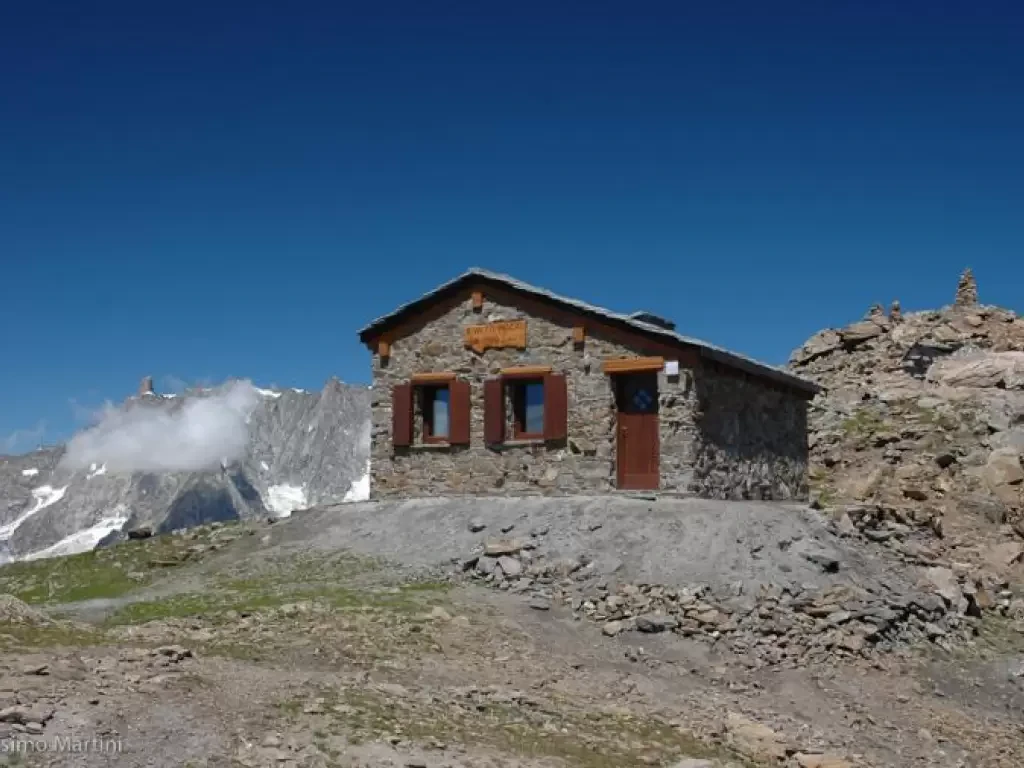
Bivacco Pascal, dal parcheggio di Morges
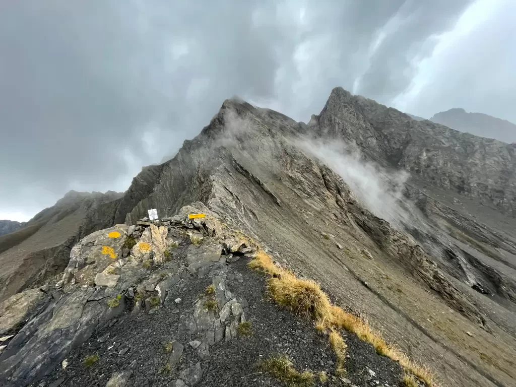
Posizionato in un'incredibile punto panoramico, il bivacco Luigi Pascal rappresenta una meta escursionistica di prima classe: vario ed interessante l'itinerario...
T2
19.19 Km
1488 m
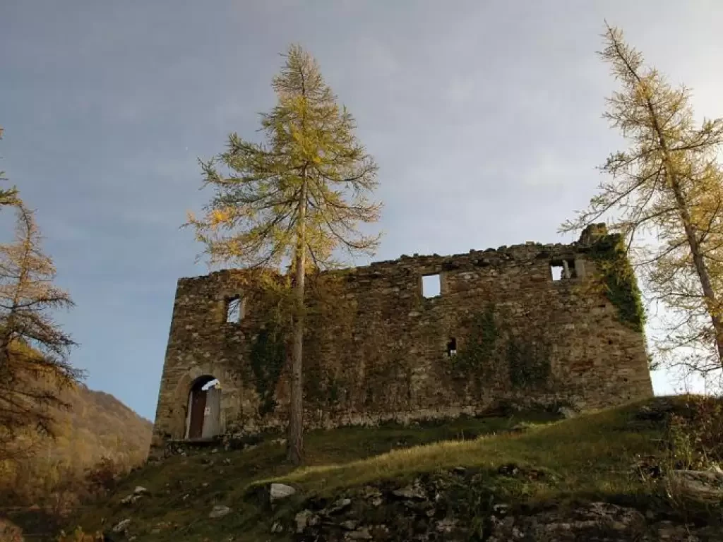
Suzey Castle, from IV November Square in Pont-Saint-Martin
A round trip itinerary that takes in the hillsides at the entrance to the Valle d'Aosta, starting from the village...
T2
4.97 Km
505 m
Tête de Liconi, from the Morges car park
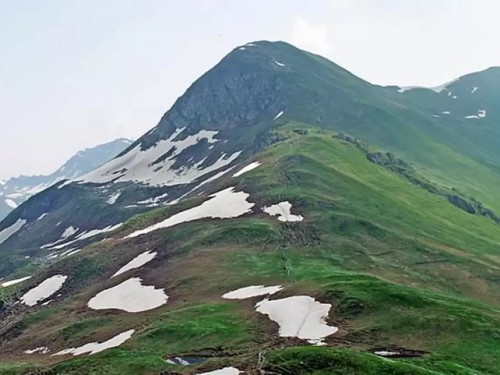
Splendid excursion to the Testa di Liconi. The route overall is long, but the arrival at Bivacco Pascal and the...
T2
0.00 Km
Tête des Fra, from the Morges car park
A long but very satisfying excursion that takes place in environments, in its highest part are open and very scenic....
WT3
0.00 Km
1095 m
Punta Fetita, from Morges
The Punta Fetita is a peak better known to ski mountaineers than to hikers, but this does not mean that...
T2
17.00 Km
1128 m
Col Battaglione Aosta, from the Morges car park
The Comba de Chambave is bordered to the east and west by the Grande Rochère and the Aiguille de Chambave....
T2
15.10 Km
1313 m
Testa Bernarda, from Villair dessus
This excursion should be done on a clear day so as to allow you to fully enjoy the stupendous and...
0.00 Km
919 m
Tête de la Tronche, from the Villair
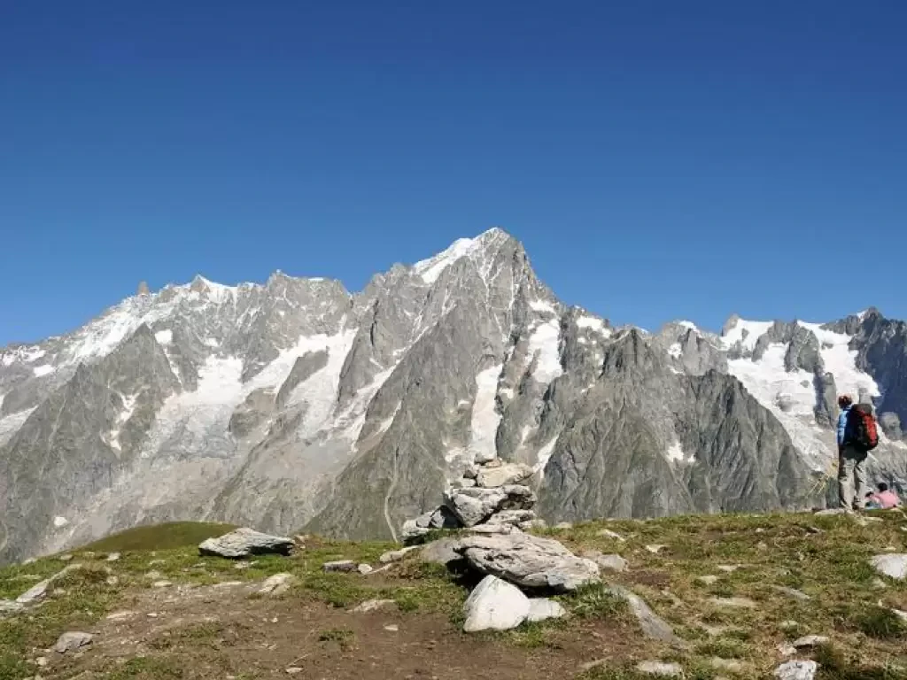
Classic 'loop' of the Courmayeur area for lovers of scenery, which, from the summit and for much of the return...
T2
0.00 Km
1213 m
Bertone Refuge, from the Villair
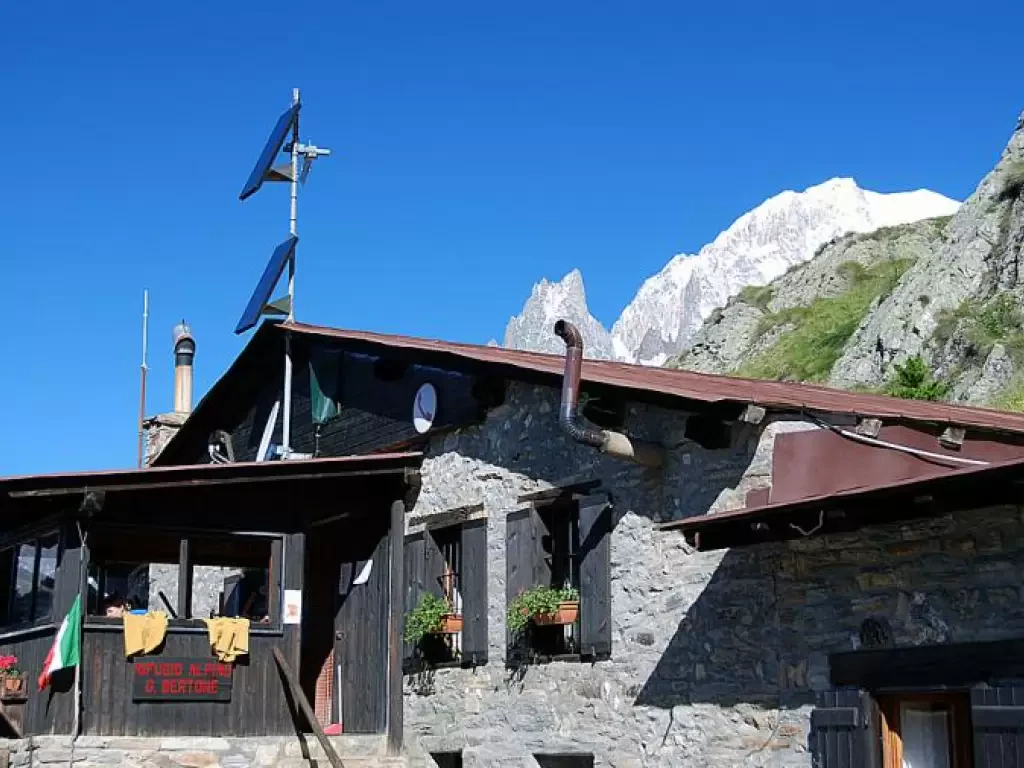
A recent but certainly popular destination for tourists who enjoy a healthy holiday in Courmayeur. The non-excessive difference in altitude...
T2
5.20 Km
573 m
Mont Glacier, from the Dondena car park
Mont Glacier is the main peak of the Champorcher Valley and this alone makes it worth the climb. Then there...
T3
0.00 Km
Loading more...
