Col Portola de Lillianes, from Pian Coumarial


Edited by:
Massimo Martini
Updated at: 21/06/2026
Access
Navigazione stradale
Lasciare l'autostrada al casello di Pont-Saint-Martin, svoltare a destra dopo 100m e alla prima rotonda prendere la seconda uscita. Proseguire fino alla seconda rotonda e prendere la terza uscita per entrare nel centro abitato di Pont-Saint-Martin. Dopo alcune centinaia di metri, svoltare a destra e imboccare la (1,2km) in direzione della Valle del Lys. Percorrere la strada regionale per 10,2km (11,4km) e attraversare i centri abitati di Lillianes e Fontainemore. Circa 1km dopo il centro di Fontainemore, svoltare a destra e seguire le indicazioni per Pian Coumarial. Attraversare il ponte sul torrente Lys e imboccare la strada comunale in salita. Proseguire per 7,5km (18,9km) e oltrepassare le località di Colombit, Pacoulla, Pianpervero, Jugeo, Chouchal, Pra Dou Sas, Cios, Challasc, Colla, Grange, Savaroy, Goy e infine Coumarial.
Parcheggio
Al termine della strada si trova un parcheggio 🅿️ gratuito in prossimità dell'area picnic, dove è disponibile un fontanile 💧 per il carico dell'acqua, poiché lungo il percorso non sono presenti altri punti di approvvigionamento.
Accesso con mezzi pubblici
Per raggiungere il punto di partenza dell'itinerario è necessario un mezzo privato, poiché Coumarial non è servita da trasporti pubblici. Nel periodo estivo è attivo un servizio di navetta che collega Coumarial al lago Vargno.
Distanza e tempo di percorrenza
🕒 Tempo di percorrenza: 30 minuti
📏 Distanza: 18,9km
Navigazione GPS
Nota informativa
Le indicazioni fornite sono state verificate alla data del rilievo dell'itinerario. Prima della partenza si consiglia di verificare possibili variazioni del percorso o delle condizioni stradali. Per informazioni aggiornate si raccomanda di consultare Google Maps o Apple Maps.
Introduction
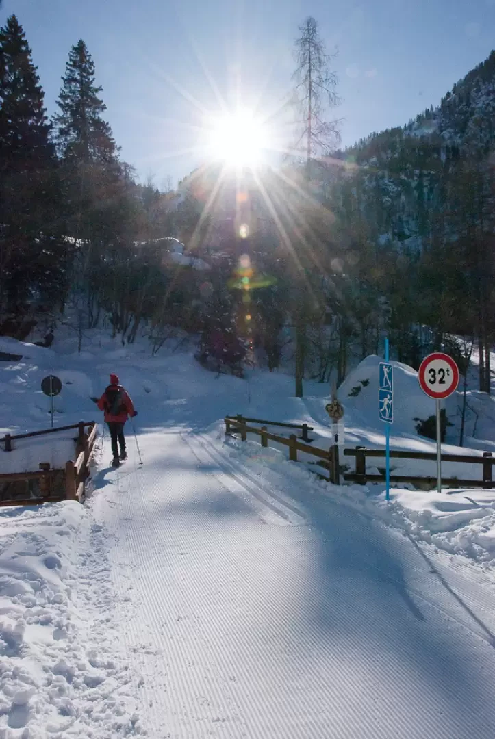
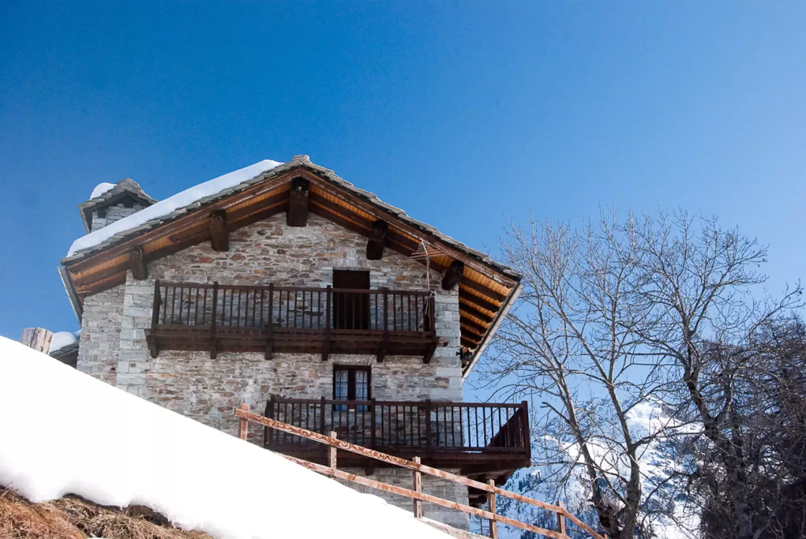
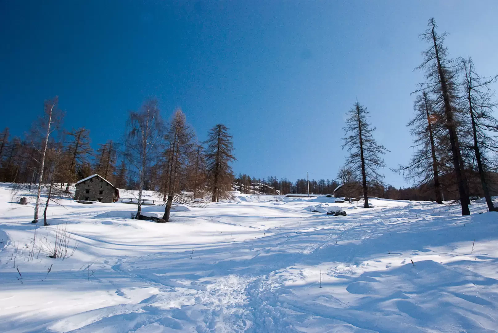
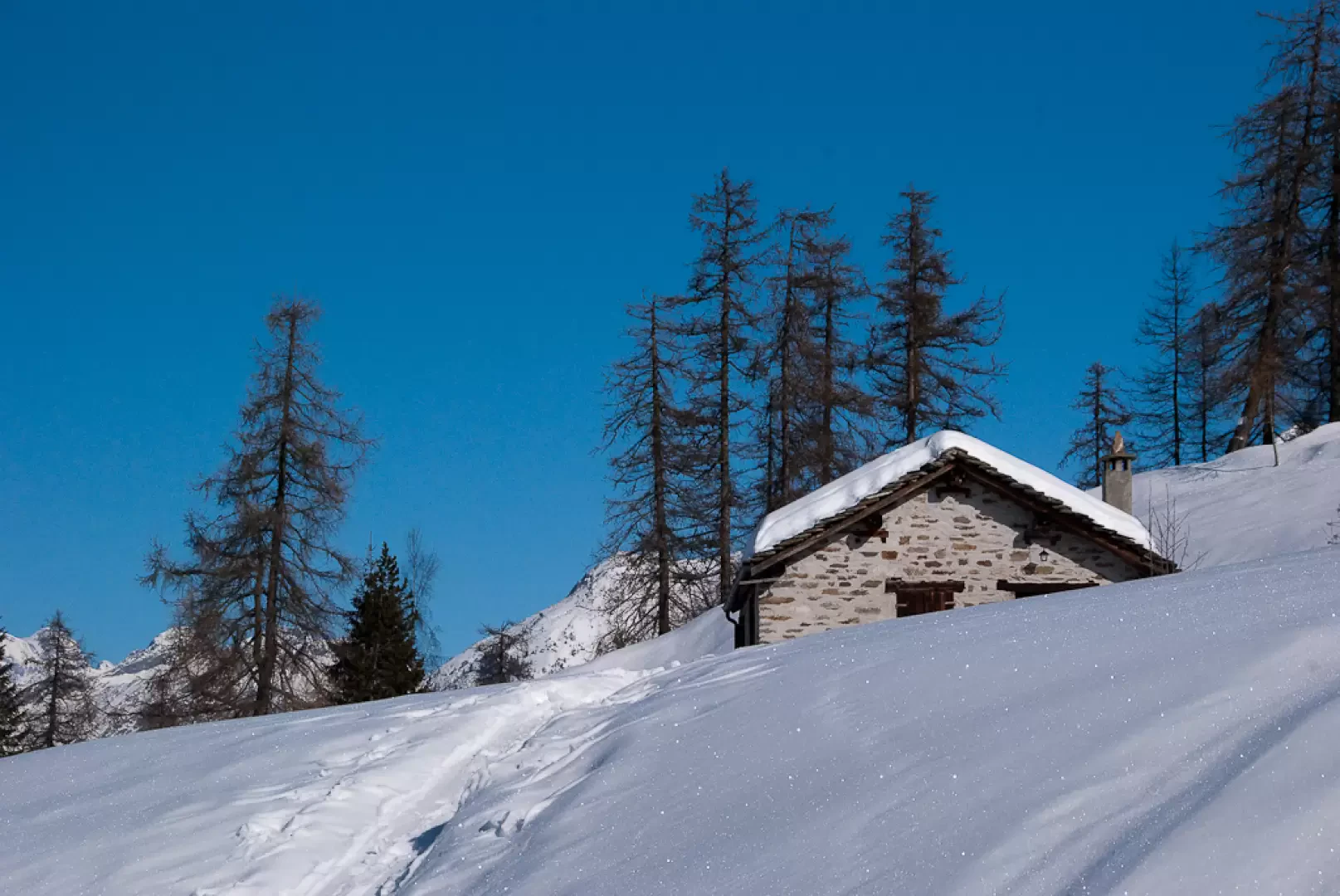
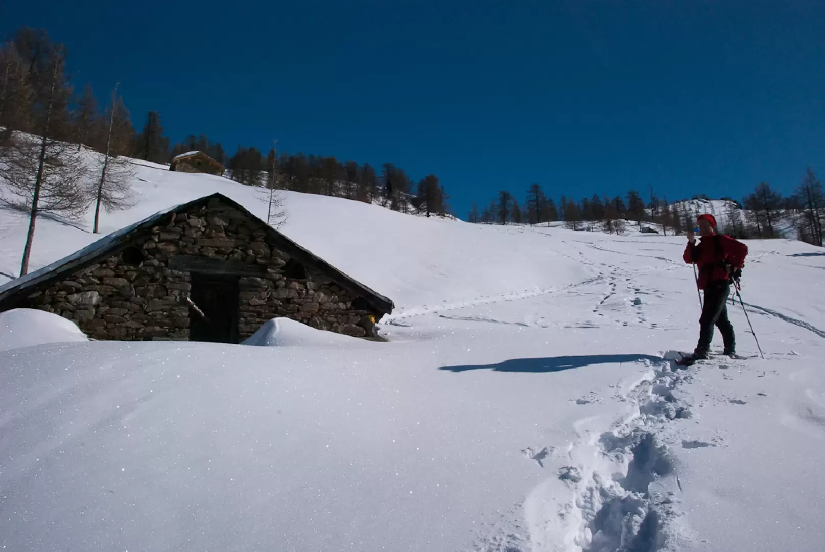
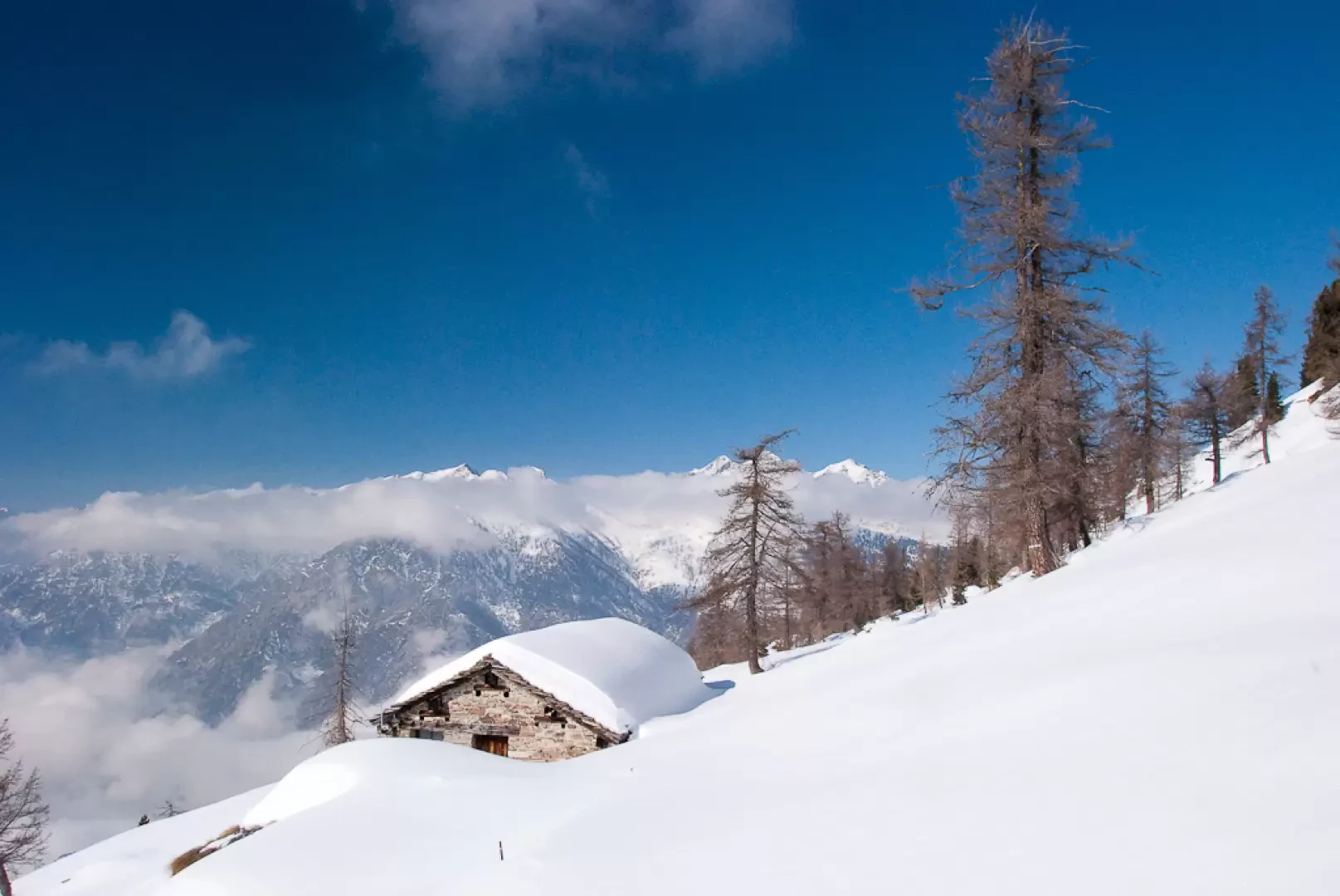
Beautiful route on the edge of the Mont Mars Nature Reserve. A route that traverses the Nordic ski slopes for long stretches: hikers are therefore asked to keep to the edge of the slope and avoid marking the valuable milling work carried out by the route managers. Overall, the route is fairly scenic with unusual views of the lower valley relief.
.Description
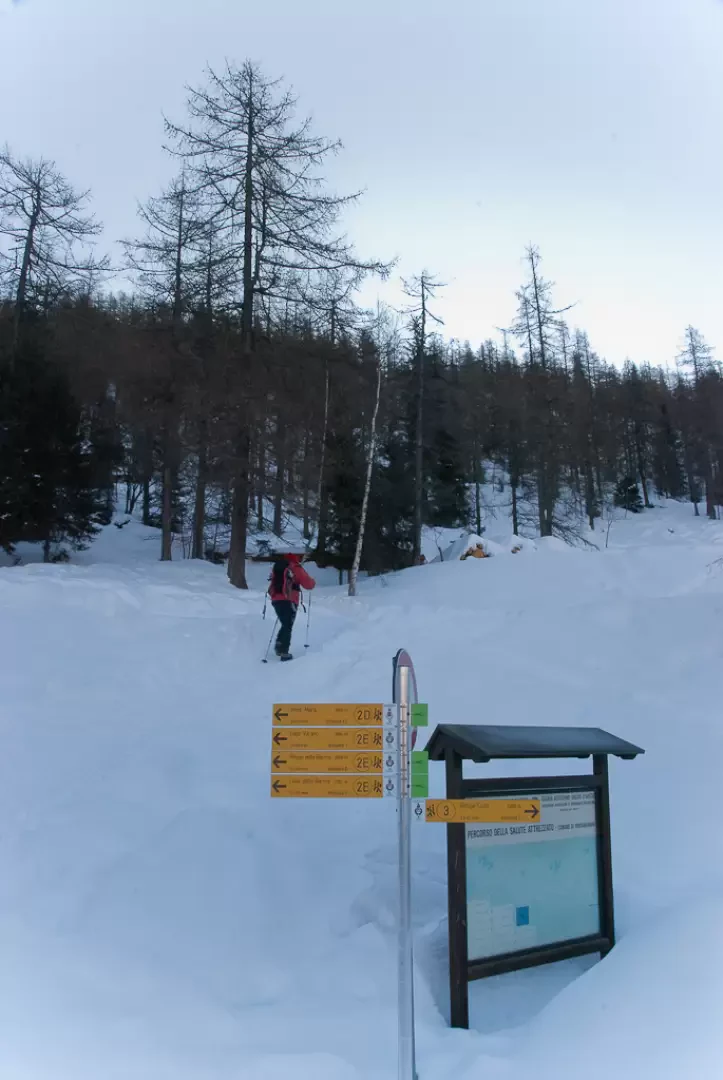
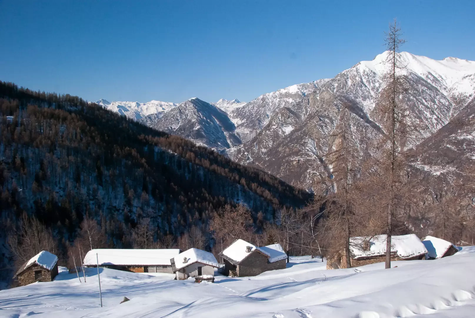
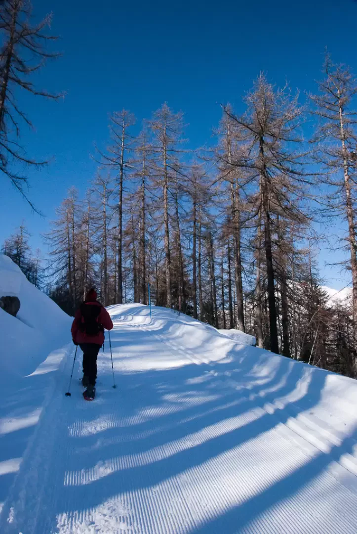
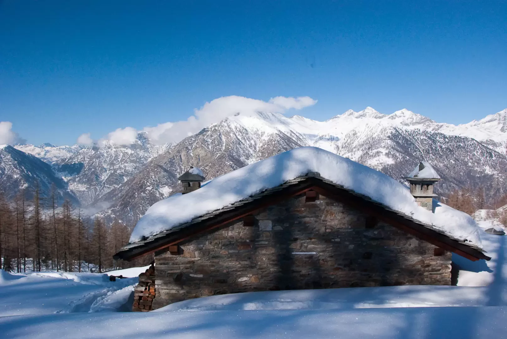
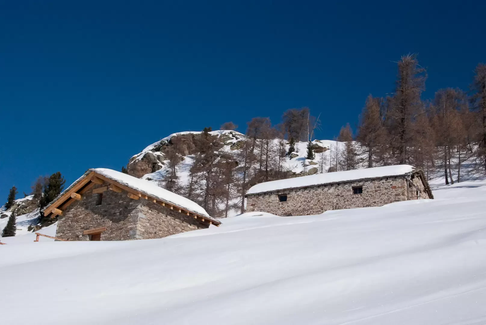
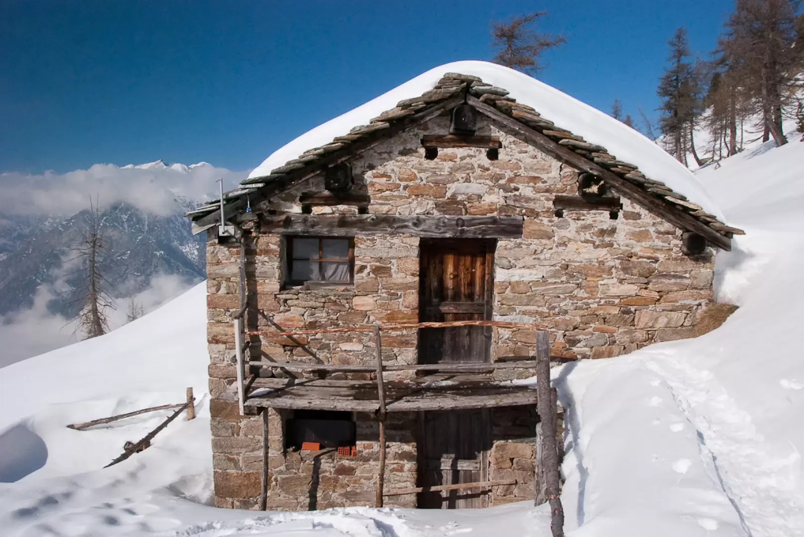
From the bottom of the car park, immediately take the cross-country ski and snowshoe track. Go past two hairpin bends and you will soon reach a crossroads near two cottages (1481m, 0h05'): turn right and start walking along the track, keeping to the left on the snowshoe track. At a fork in the track, keep to the left branch until it joins the track; after a few hundred metres you come to a new fork (1533m, 0h15'). Take the downhill track, taking care to keep to the left at the edge of the Nordic ski slope; having crossed the path (3) for Rifugio Coda continue the descent, ignoring another "lace" of the same that branches off to the left. The track turns to the left taking you above the scattered village of Lasabié (1449m) which can be reached by a track that departs to the right. After the diversions, go over the small bridge over the Torrent de Gouillas and turn sharply to the right, following the course of the Vallon de Bouroz. A second small bridge crosses the Torrent de Carisé and the descent ends a little further on at an altitude of about 1425m. Still on the track, we tackle the ascent with some splendid views of Mont Néry; the route increases in gradient before reaching a new fork (1499m, 0h50'): we keep the track to the left and proceed for a short, almost flat stretch, making a wide turn to the left until we come to the solitary cottage of Creu de Moussa (1525m 0h55'). Start climbing again with a slight incline, crossing the larch woodland that slopes down to open up to reveal a splendid view of the entire lower Aosta valley. Follow the track for a few hundred metres more, then turn left and start climbing up the snow-covered pastures. In the absence of a track, keep to the edge of the forest (which you meet on the right of the uphill direction), heading towards the La Villera farmhouse (1594m, 1h15'). Cross the track, which makes much longer turns, and continue straight on, heading towards another renovated farmhouse at an altitude of 1647m. If there are tracks, you can continue straight ahead through a strip of larch woodland, otherwise you can follow the track making a few hairpin bends that still lead to the Vraserei alpine pasture (1721m, 1h40'). From the alpine pasture, continue along the track again, following a nice straight stretch until approaching the cottages of Pra de Bosc (1770m, 1h50'). Here you join the summer path (1) for the Rifugio Coda coming from Granges, which is obviously only visible on the map. Go up the slope with a slight diagonal to the right until you reach the track for the last time; cross it and head towards the two cottages of Valessa (1894m, 2h20'). The destination is now near, proceed with a quiet diagonal to the right until entering a small comba called Plan Sorcières, an imaginary (or perhaps not) place frequented in ancient times by local witches. The ascent to Col Portola ends with a short effort that leads to the saddle (1966m, 2h30') at the foot of Mont Portola, which connects the villages of Lillianes with the Vallon de Bouroz and the Carisé alpine pastures.
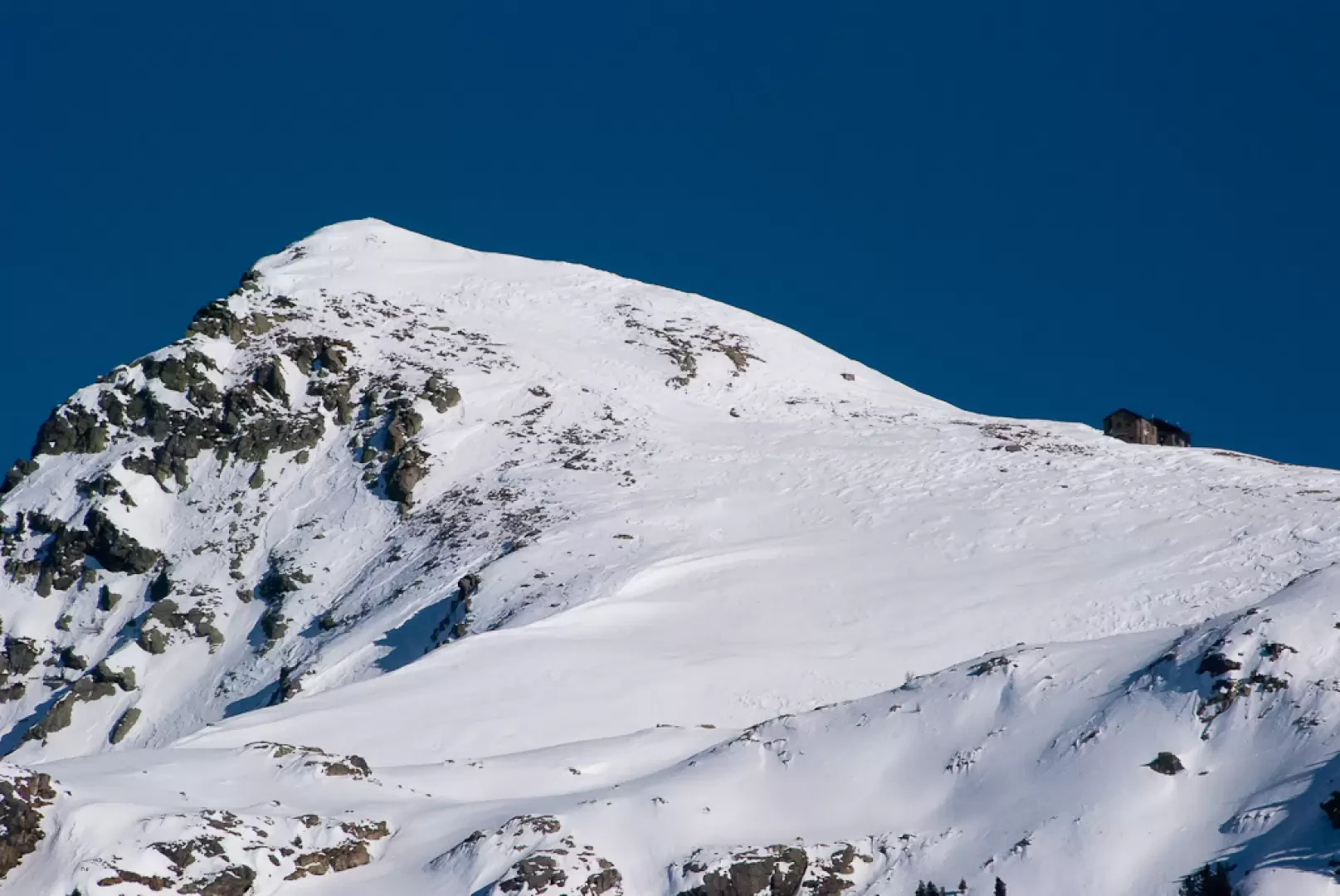
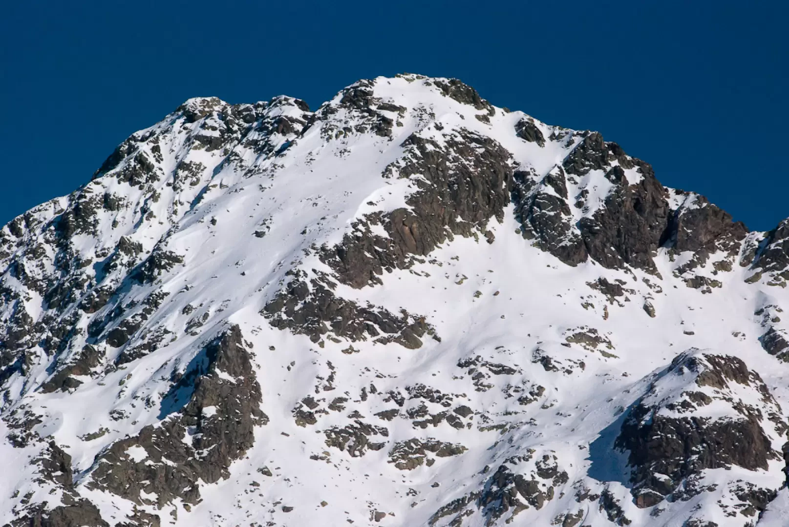
From the pass, you can appreciate a fine view of Mont Mars with the famous Carisé ridge and the not far away Rifugio Coda.
The descent follows the same route as on the way up.
If the snow conditions are optimal, you can proceed on the return journey by completing a beautiful ring-route, descending to the Carisé alpine pastures and then following the summer path (3) to Vercosa and the track to Pian Coumarial. The route in question is by no means easy, implying good orientation skills and the ability to progress over uneven and slightly exposed stretches. Overall, this variant is classifiable as EE.
.Photo gallery
Comments (0)
Sign in to leave a comment