Anna Della Giovanna
Wrote 30 reports, for a total distance of 7,88Km up and a total elevation gain of 6,73Km and 52 hours of walking
Active filters:
User: 1922
Showing 30 results
with active filters
Loading...
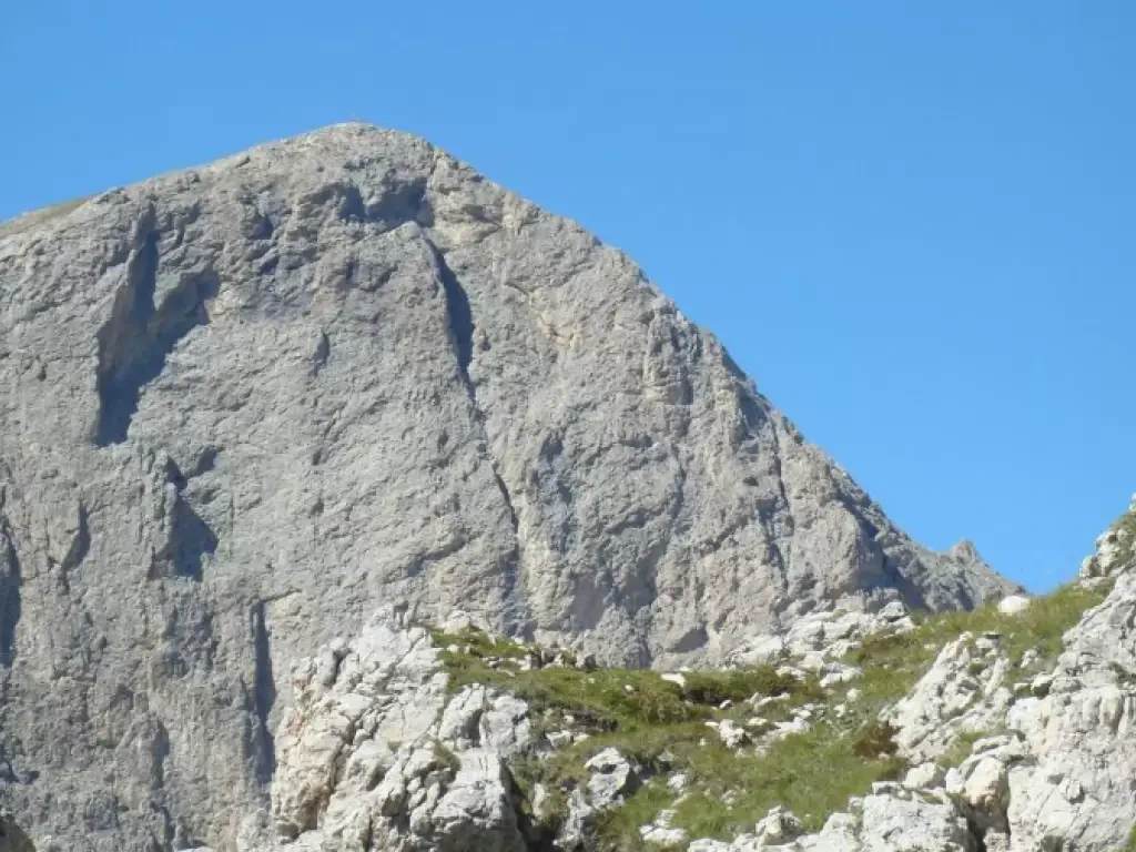
Ferrata Brigata Alpina to Col dei Bos, from Col Gallina
Car park in front of Restaurant Strobl
The trail starts behind the car park (signpost indicating Col dei Bos) at...
0.00 Km
0 m
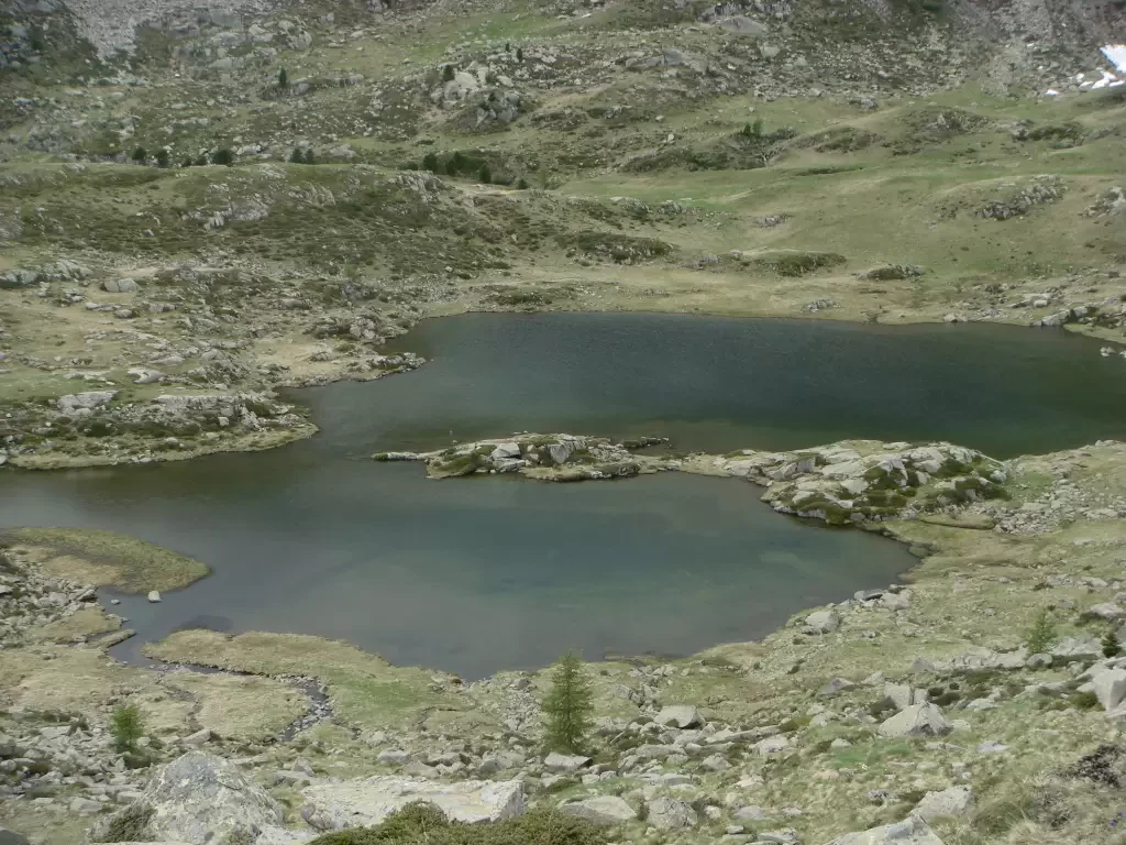
Conca di By and Champillon Refuge
Access:
Exit the motorway at Aosta East, follow for Gran San Bernardo and after the tunnel turn right towards Valpelline....
0.00 Km
0 m
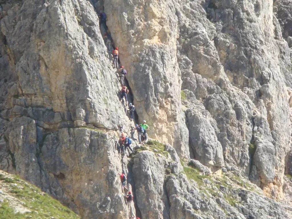
Ferrata delle Scalette, from Ciampedie
This hike is quite long. For the complete tour, including all the stops, it took us about 8hr 30.
24.00 Km
0 m
