


Edited by:
Maurizio Loconti
Sunday 16 June 2024
Ru Courtaud
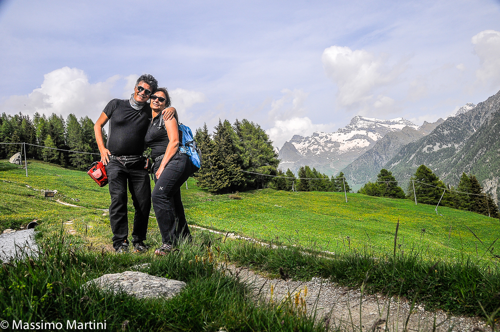
Report della gita
Il Ru Courtaud tra Barmasc e il belvedere sul Rosa e Saint Jacques (Val d'Ayas - Ao)
http://www.cralgalliera.altervista.org/anno2020.htm
http://www.cralgalliera.altervista.org/altre2020.htm
Oltre al solito pdf, con diverse immagini e un po' di altre info:
http://cralgalliera.altervista.org/RuCourtaud020.pdf
Altre gite in zona:
http://cralgalliera.altervista.org/GiteValleDAostaC.htm
Articolo sulla Val D'Ayas, uscito anni fa su 'Escursionismo' della Fie:
http://cralgalliera.altervista.org/ayasfin.pdf
Di seguito alcune info di massima, con una breve descrizione sintetica.
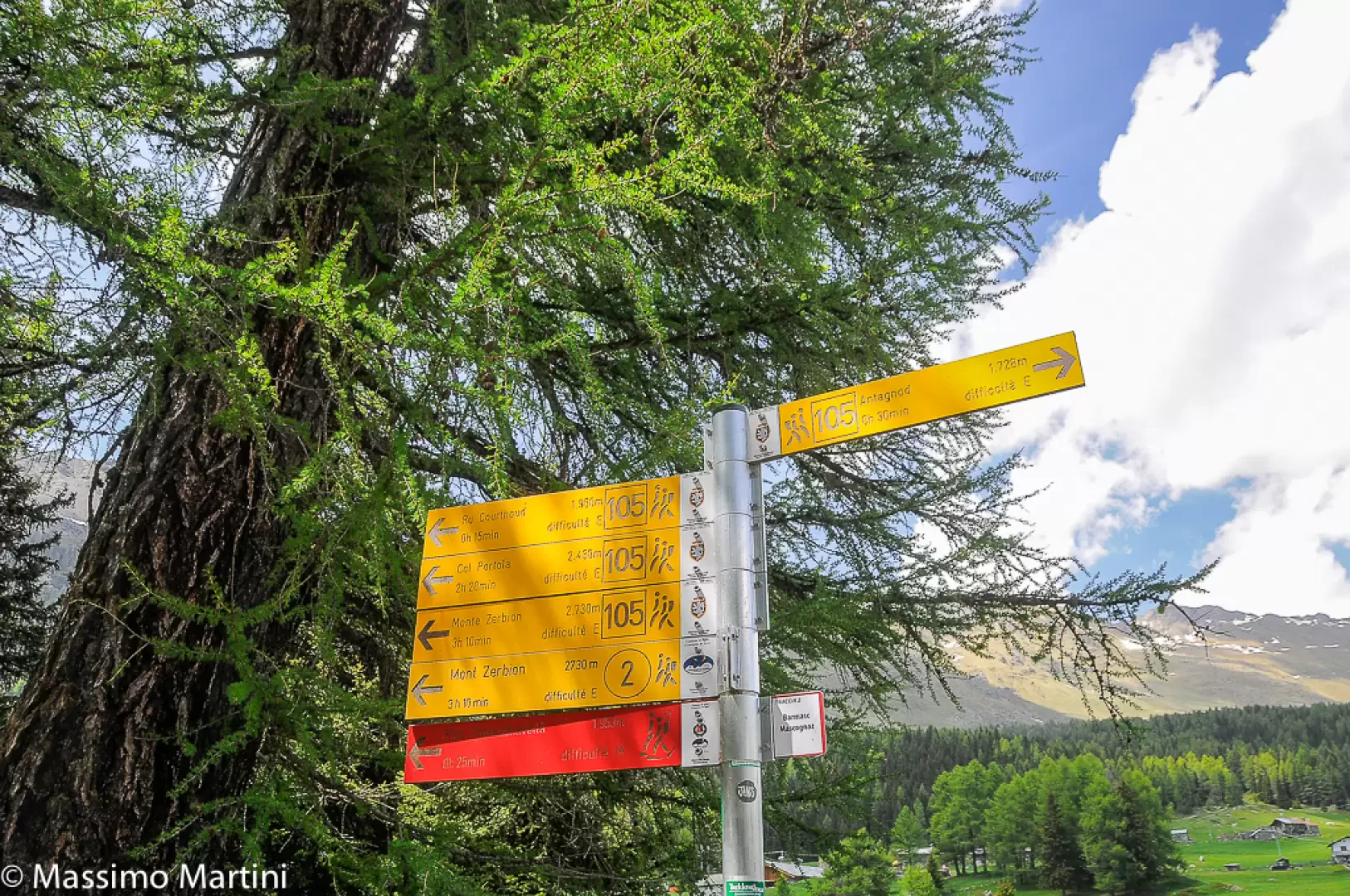
Accesso: Si esce dall'autostrada a Verres. Dopo si risale la val d'Ayas e oltre Brusson, da Corbet, si devia a sinistra per Antagnod. Quasi all’uscita di questo ultimo, si piega ancora a sinistra per la località di Barmasc 1880 m, dove si lascia l'auto (una trentina di km dal casello). Il parcheggio a fine strada è vasto, ma, nei fine settimana, è facile trovarlo già pieno anche molto presto!
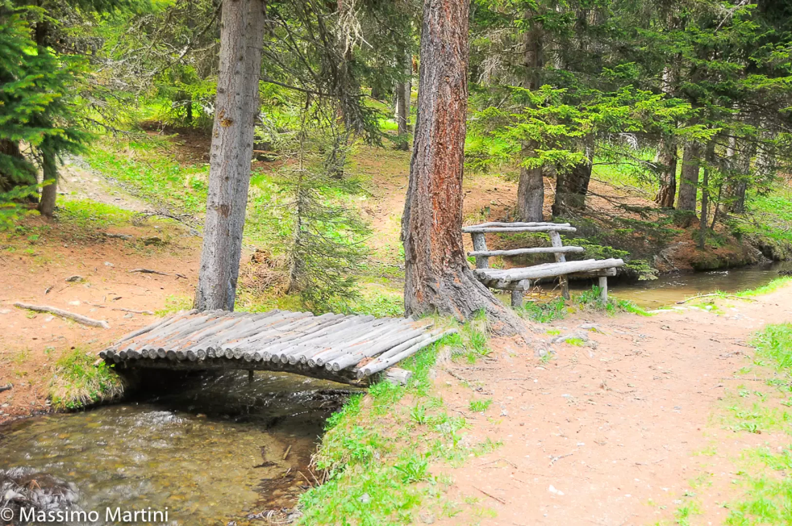
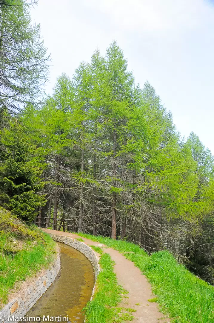
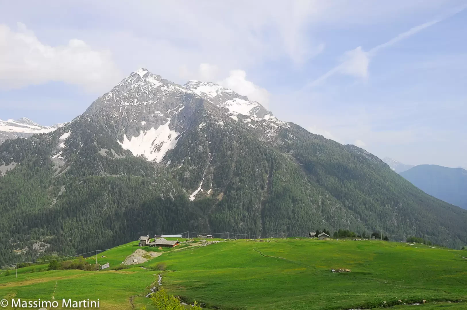
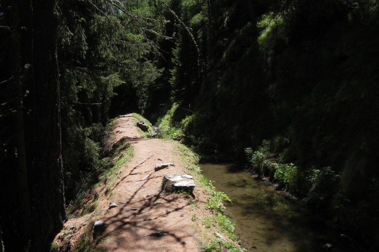
Approfondimento: Il Ru Courtaud è un canale irriguo molto antico,vecchio di oltre 600 anni. Infatti, le sue prime notizie risalgono alla fine del Trecento! Esso serviva per portare a valle l'acqua dall'alta montagna fino a St. Vincent. Da un punto di vista escursionistico, il tracciato, lungo circa 25 km sui 2000 m di quota, parte dal colle di Joux (all'inizio con molte gallerie). Una serie di pannelli esplicativi raccontano il percorso nella parte centrale/finale e in questo ambito si sviluppa la gita.
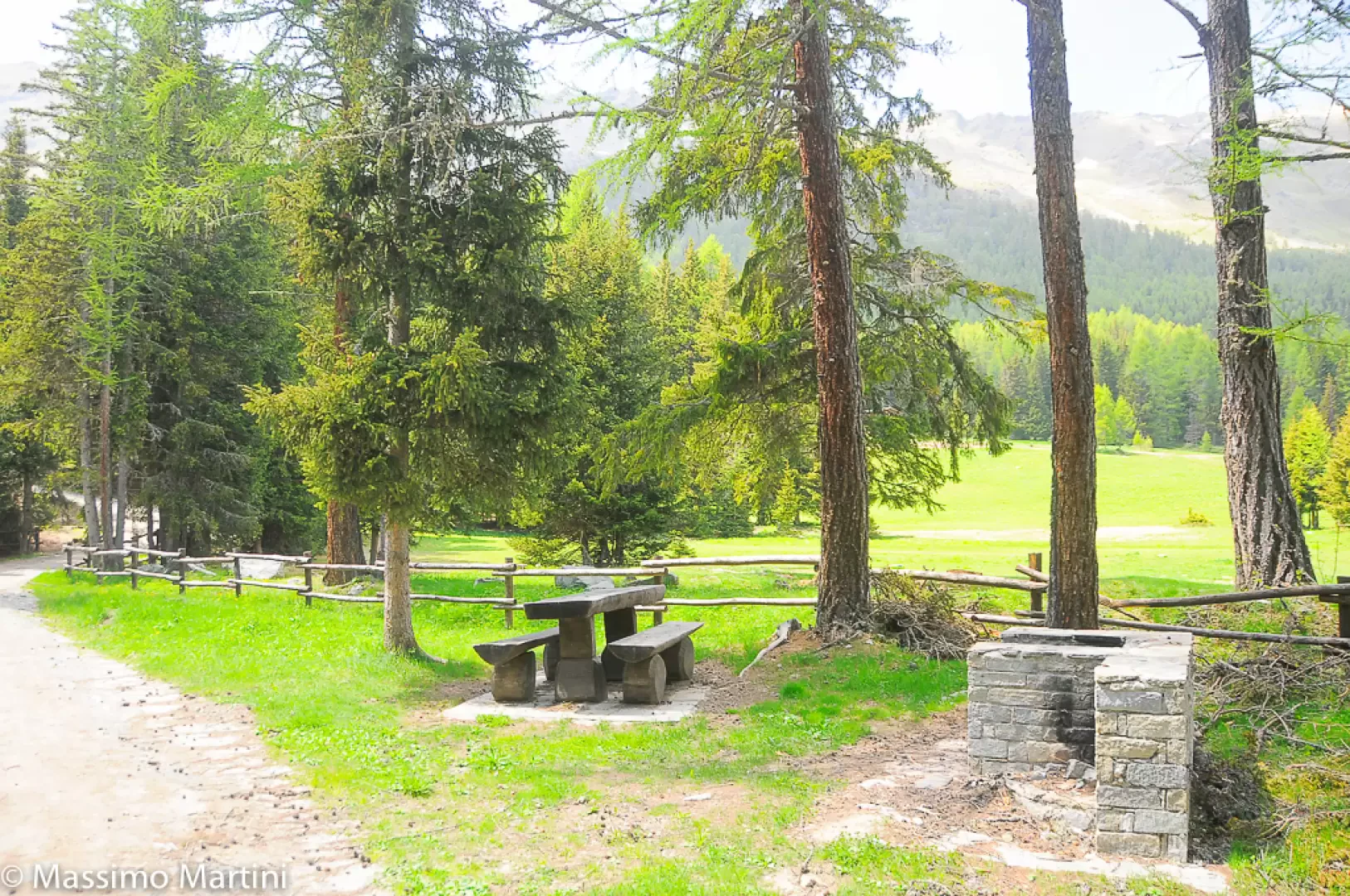
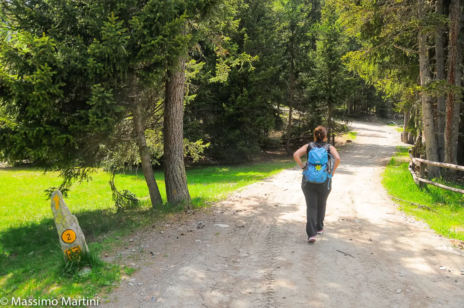
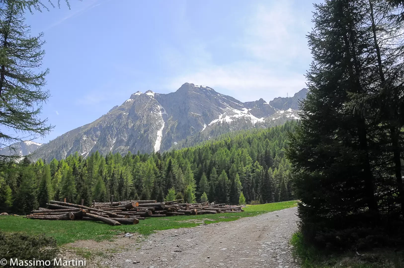
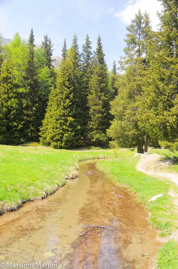
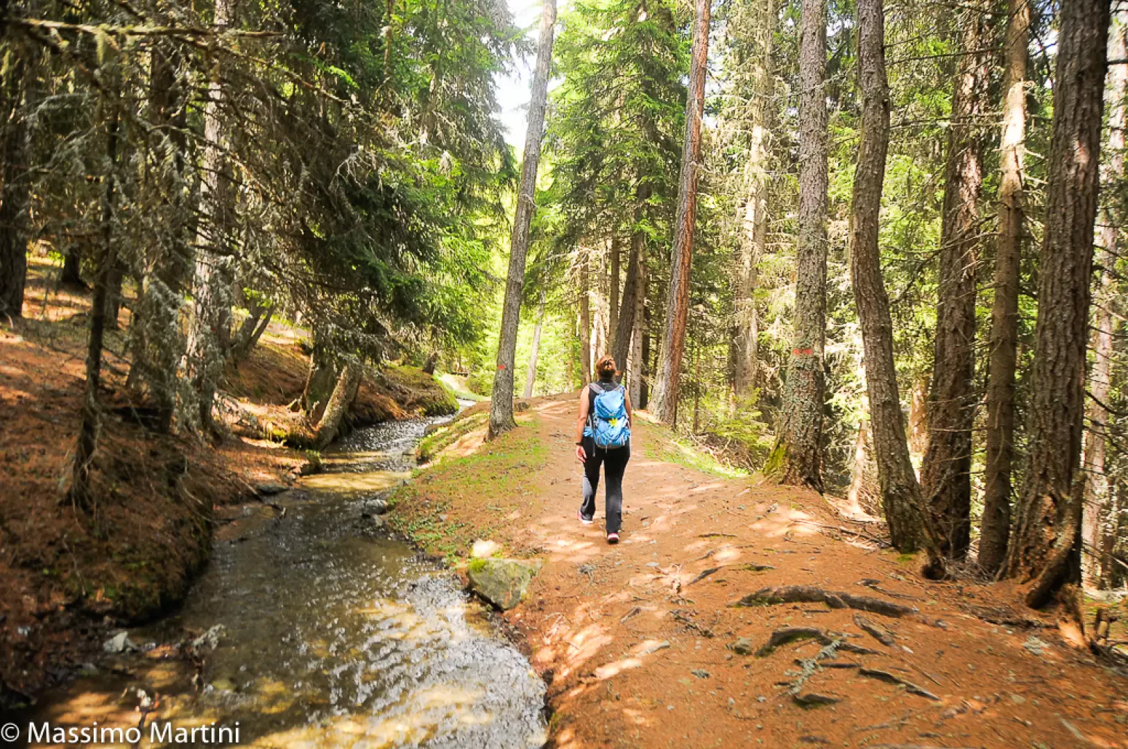
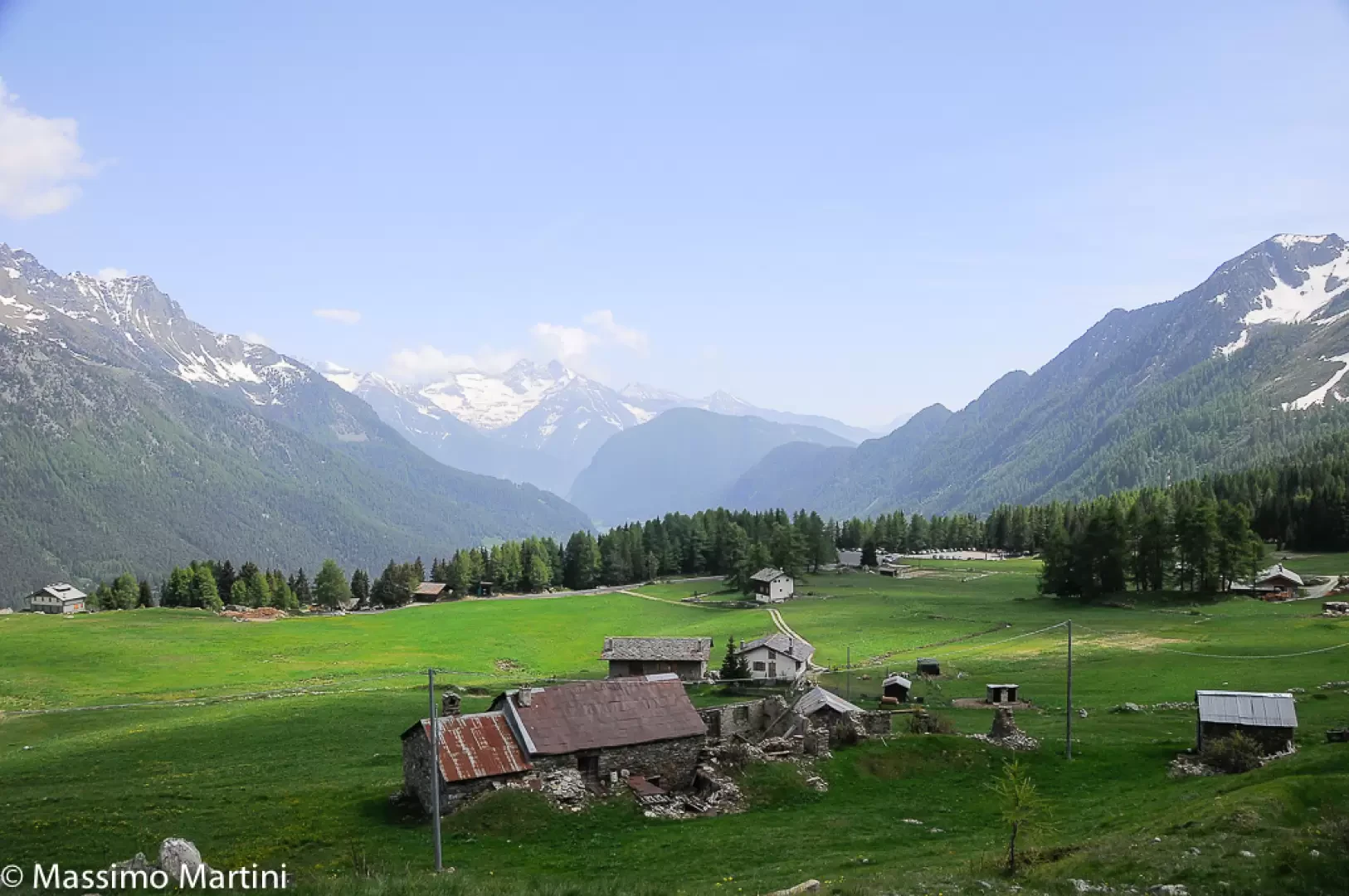
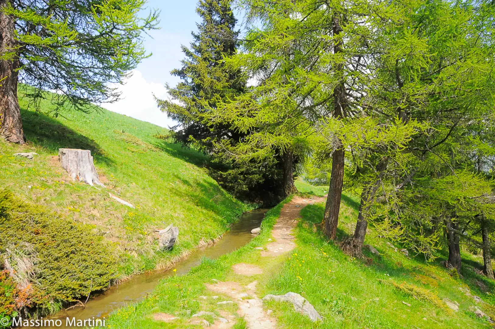
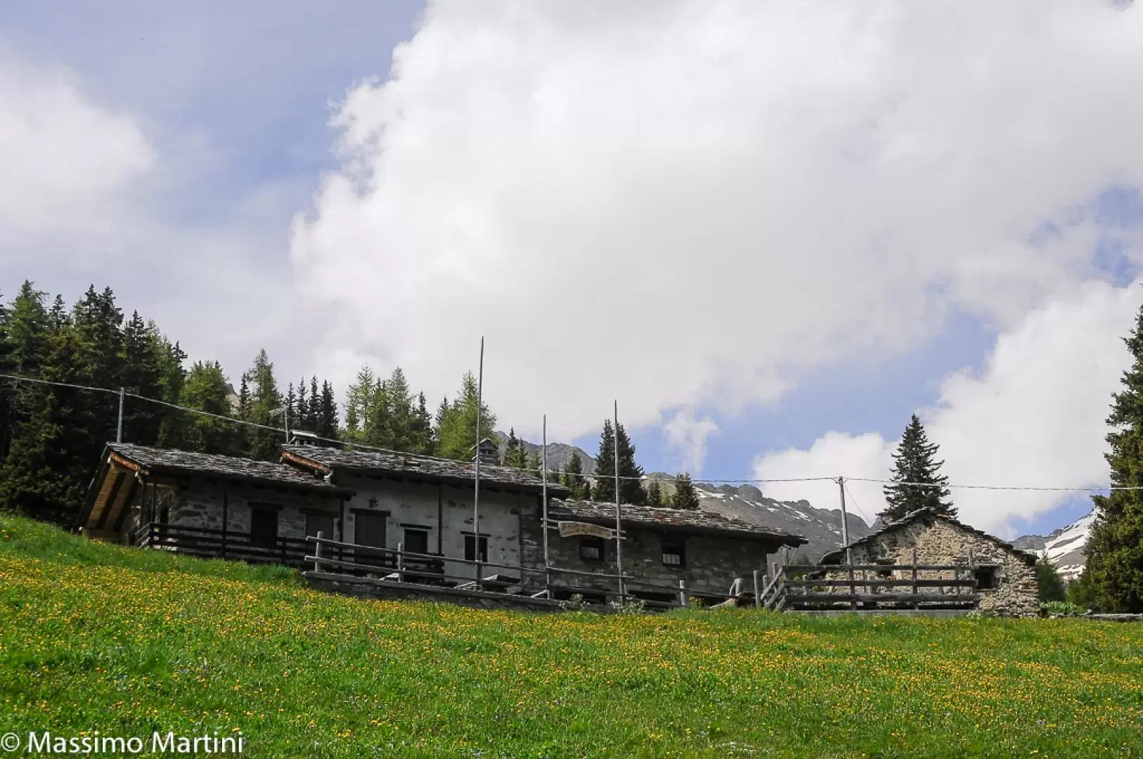
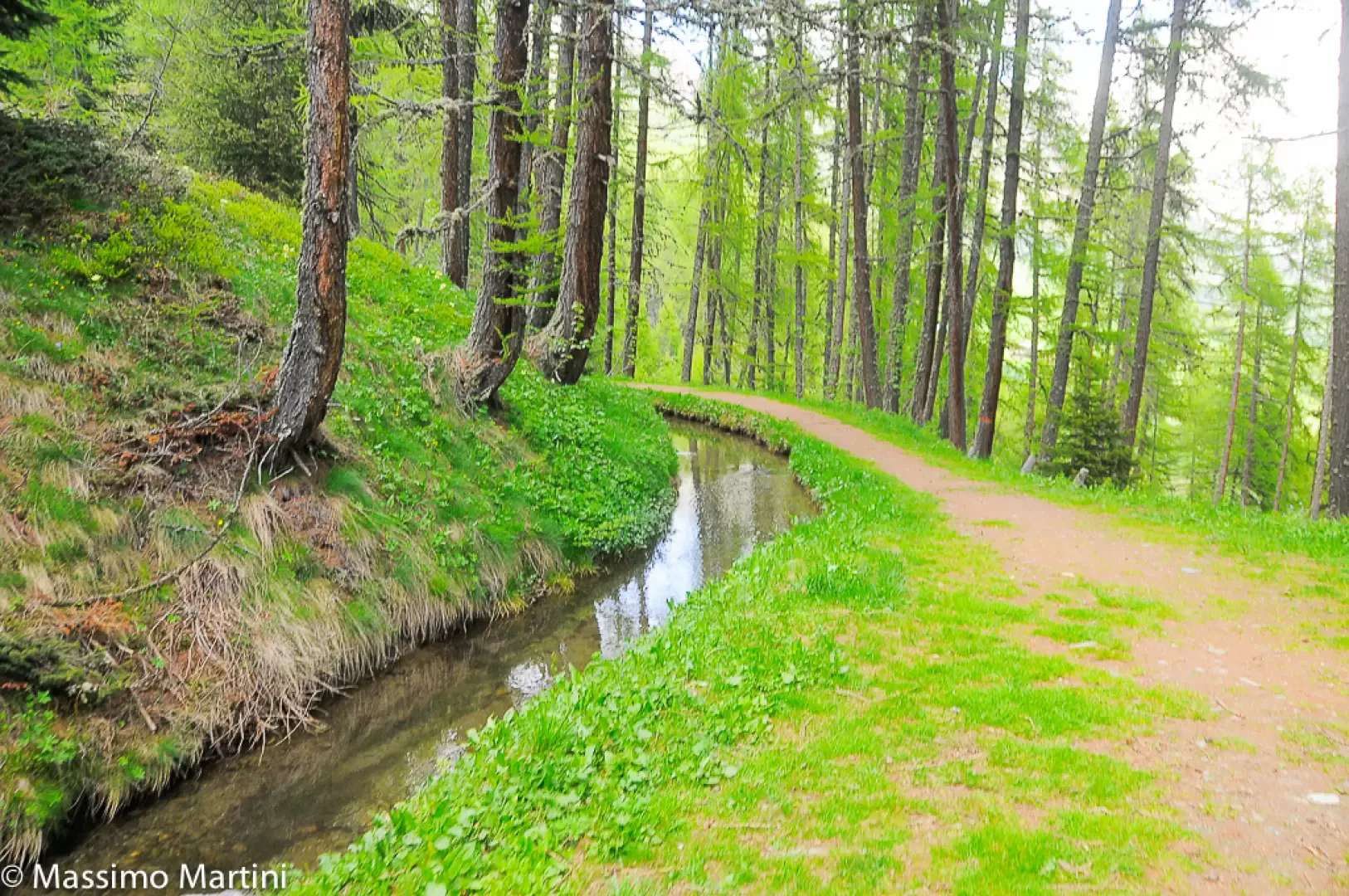
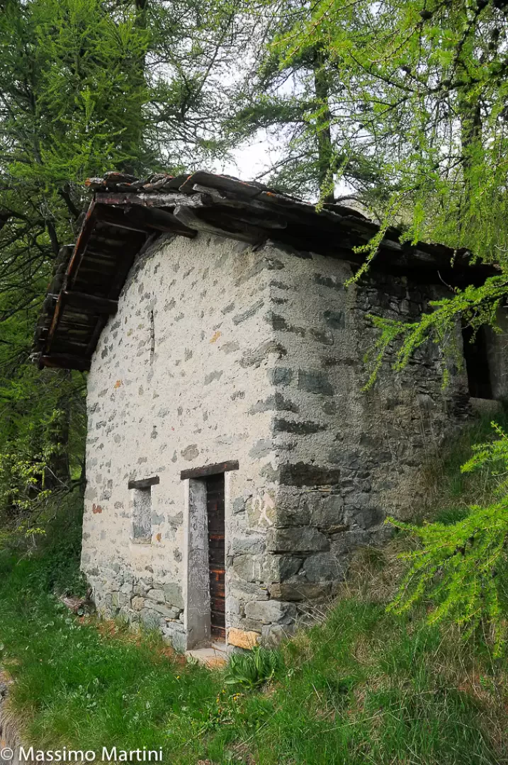
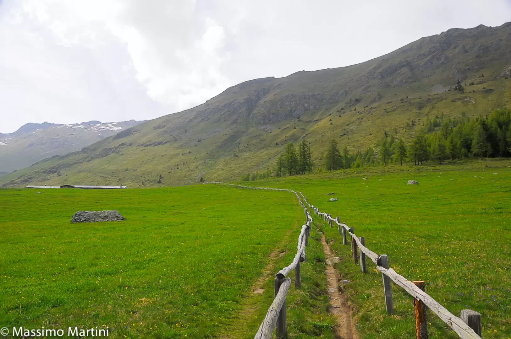
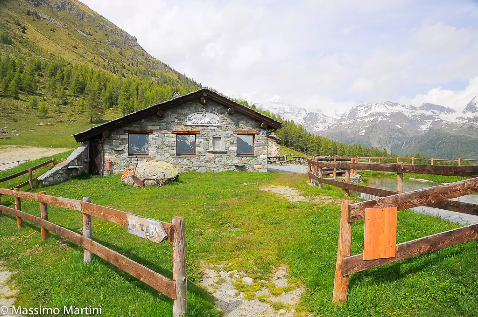
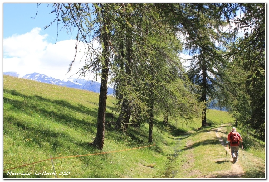
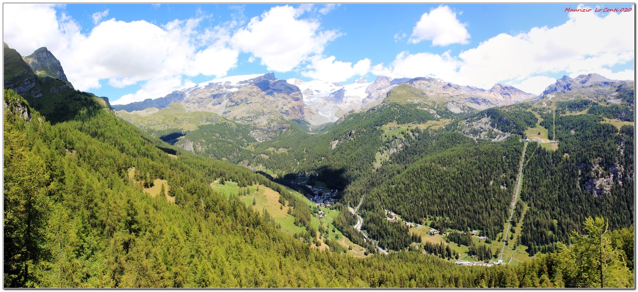
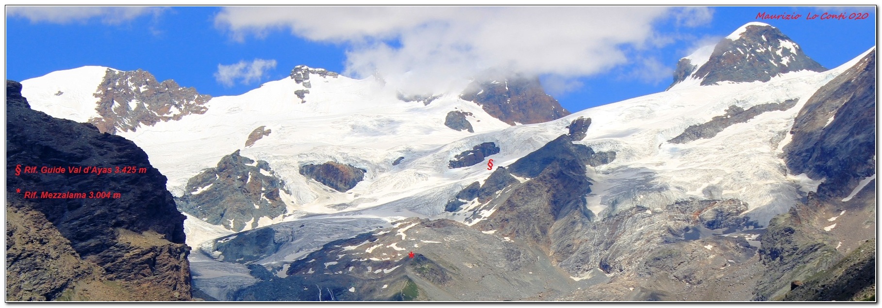
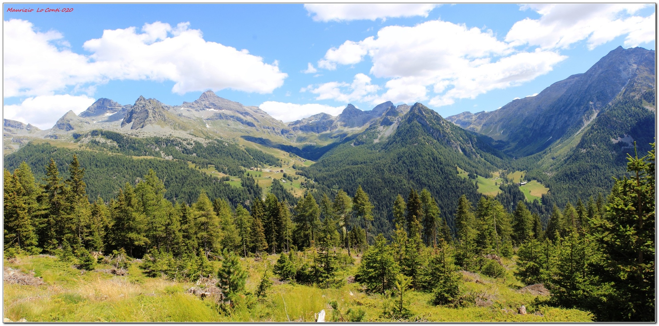
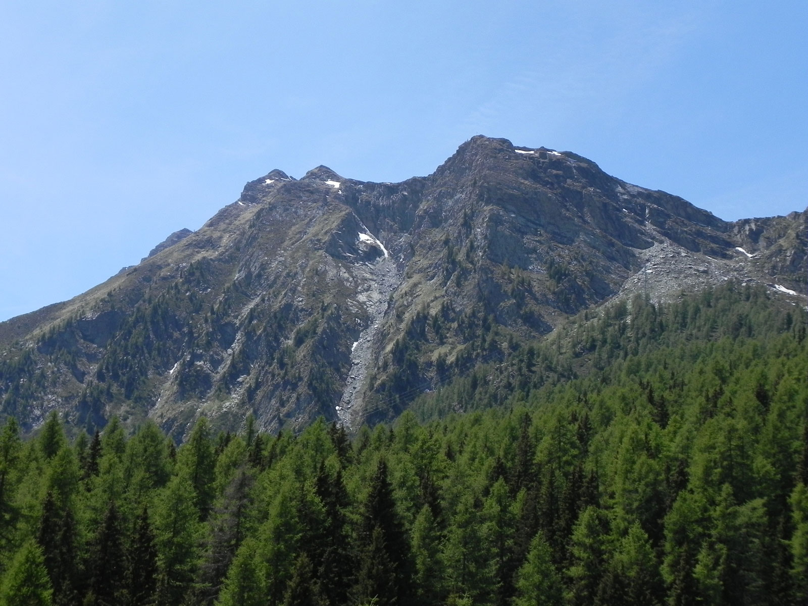
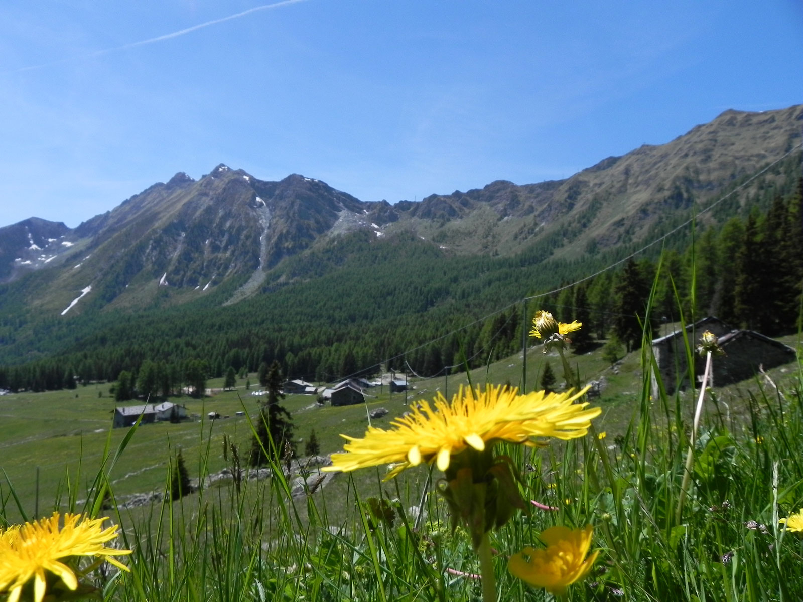
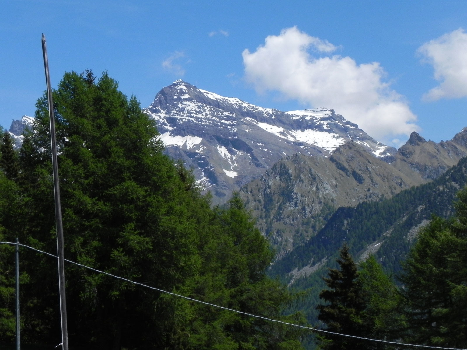
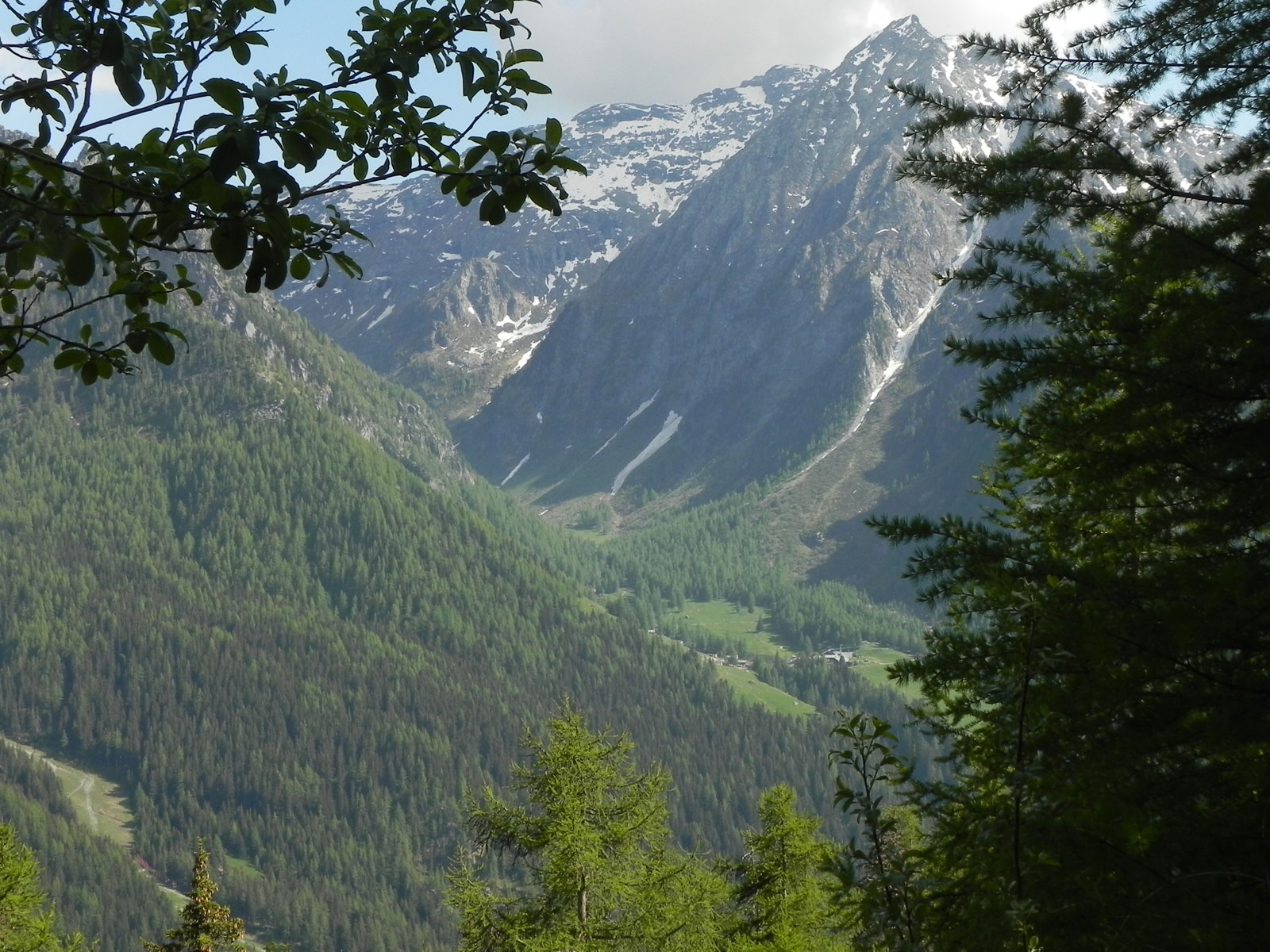
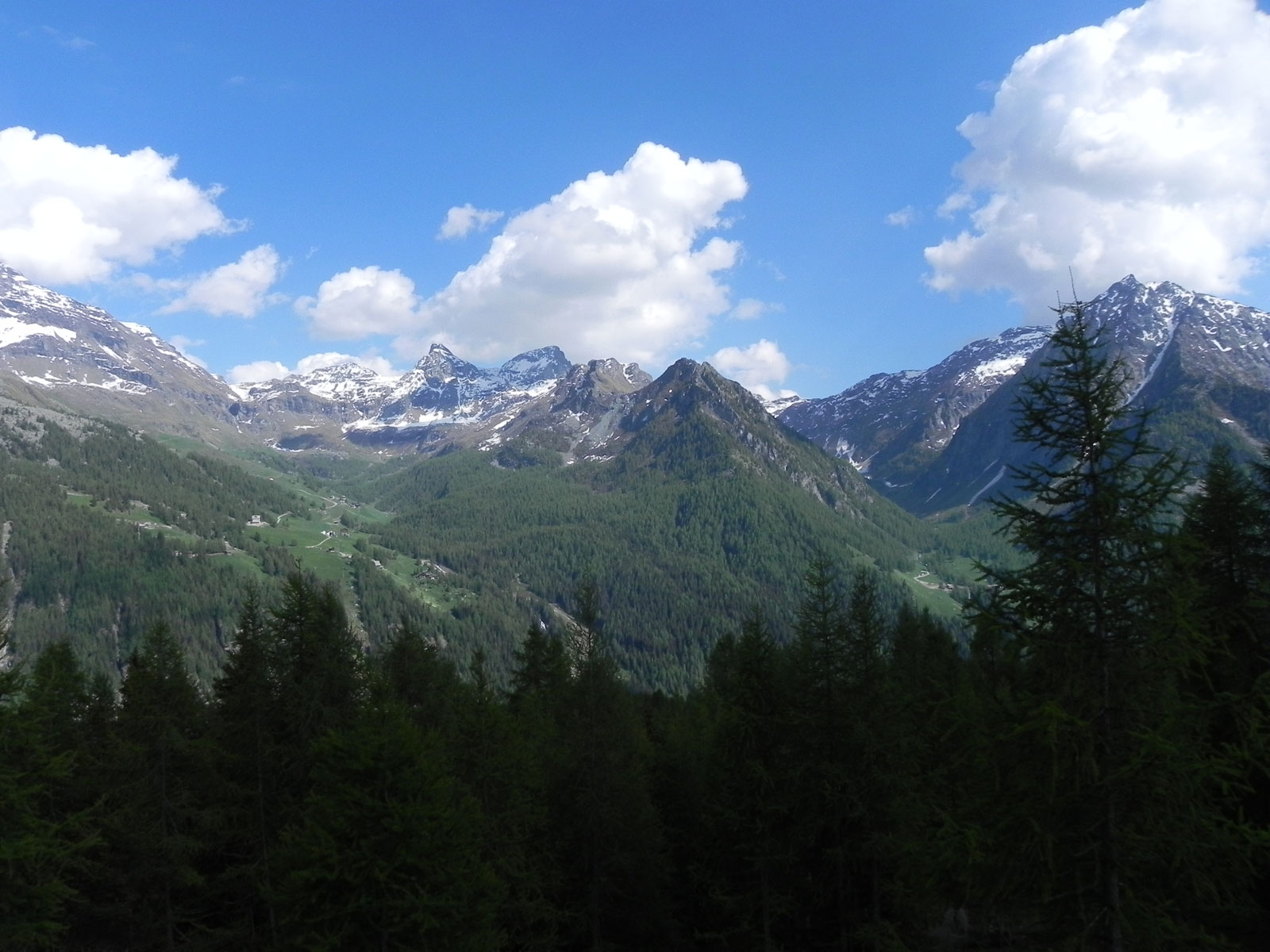
Descrizione breve: Da Barmasc si sale nel bosco fino ad una radura dove si incrocia il percorso da seguire a destra, quasi in piano: l'alveo del Ru Courtaud accompagna ora il sentiero. Si ignora l'agriturismo Alpe Corneuil e poi si sfiora il ristoro La Tchavana di Metsan. Si giunge infine da una costruzione in cemento dalla quale esce l’acqua che alimenta il ru. In alcune relazioni lette sembrerebbe che non si possa andare dritti e si sale a sinistra. Ma probabilmente ora è stato ripristinato. Si insiste sempre sulla via più ampia che, in un paio di tornanti, conquista un bel punto panoramico sul gruppo del Rosa e Saint Jacques (2h30).
In definitiva: Diff. T molto molto facile - Disl. 200 m - 4h30 AeR – quasi 16 km AeR (soprattutto all'andata ad un ritmo superiore al solito).
NB: in caso di gita, verificare, sempre, con FIE, Cai, eventuale Ente parco o altre Istituzioni, pro loco, ecc., che non ci siano state variazioni che abbiano aumentato le difficoltà! Si declina ogni responsabilità. Il presente testo ha solo carattere puramente indicativo e non esaustivo.
Buon cammino
Maurizio
Maurizio
Informazioni generali
Condizioni via o sentiero: ottime
Pericolo Oggettivo: nessuno
Tratti esposti: nessuni
Affollamento:
Condizioni meteo
Cielo: sereno
Temperatura:
Avvistamenti
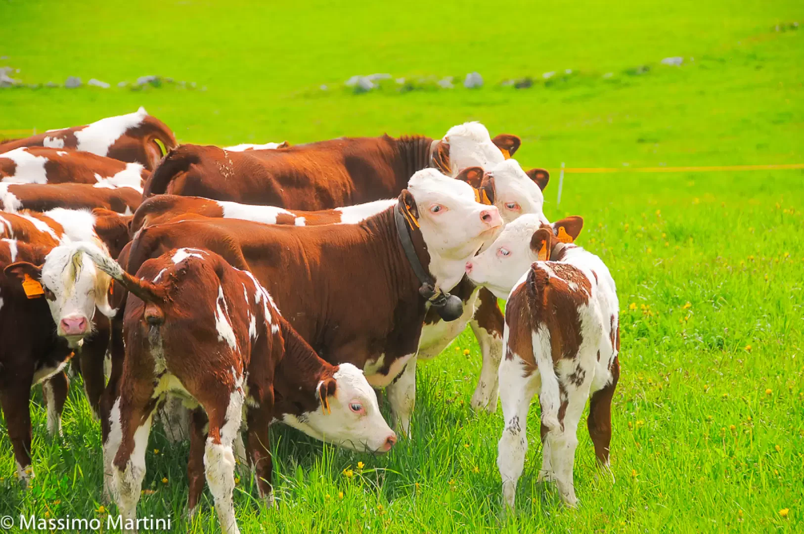
Fauna:
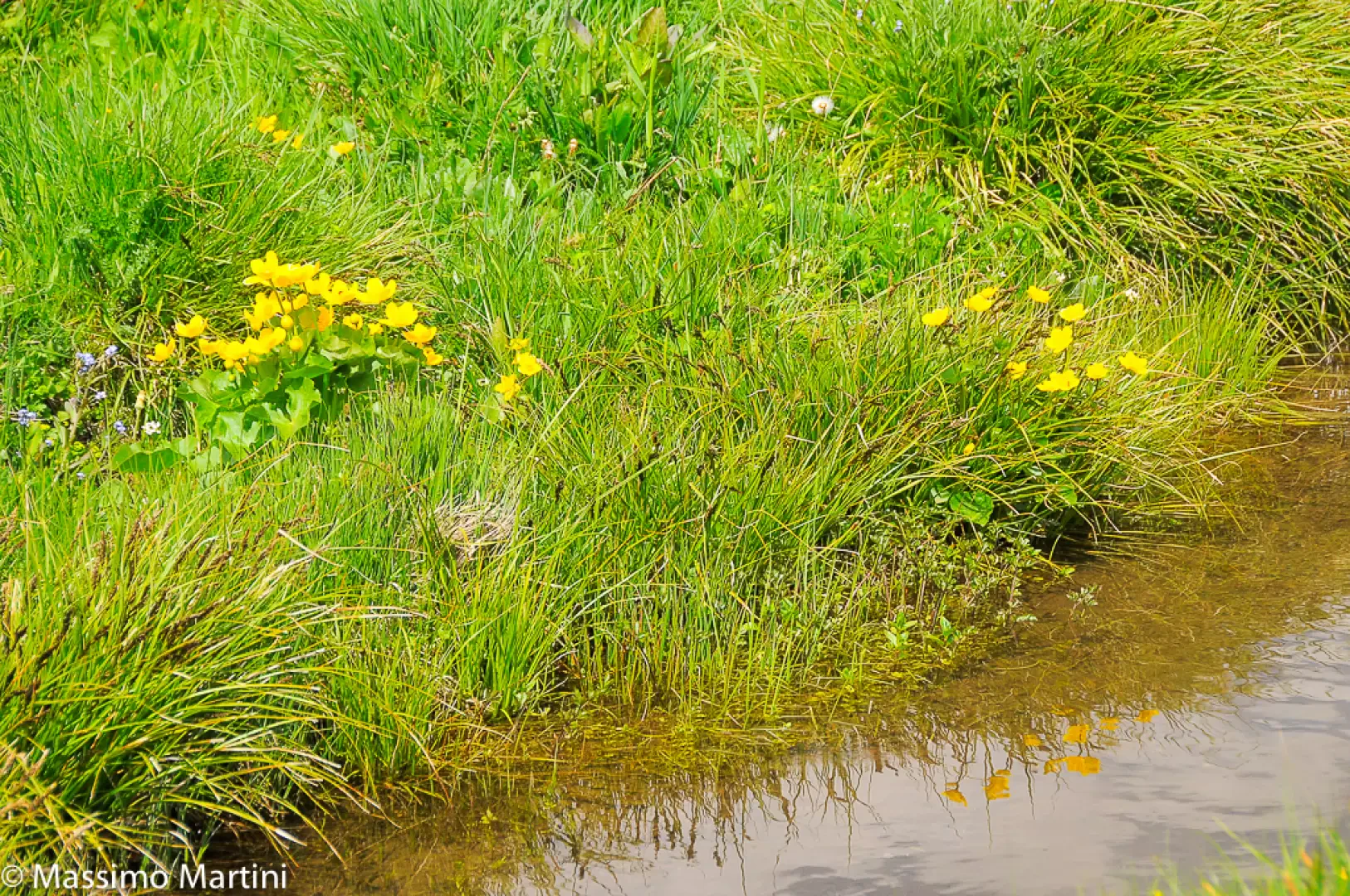
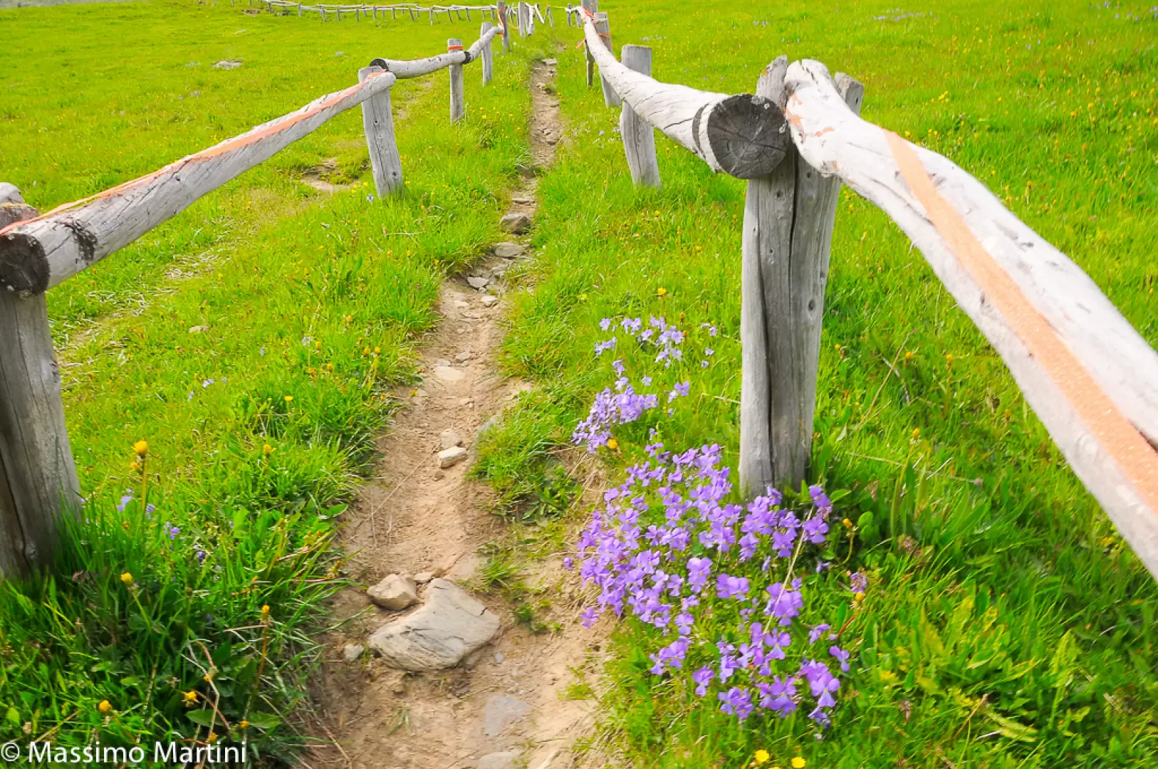
Flora:
Galleria fotografica

Comments (0)
New comment added!
Sign in to leave a comment
No comments yet. Be the first to comment!

Comments (0)
Sign in to leave a comment