Leaving the motorway at the Aosta Ovest exit, take the road for 900m to a roundabout, exit onto the road in the direction of Courmayeur for about 8.5km. After passing the village of Arvier at the roundabout dedicated to Maurice Garin take the , second exit. Go up the valley of Valgrisenche for about 16km to the main town. After passing the village, follow the signs for Usellières. Enter the tunnel and climb up the slope to the right of the Beuregard dam to Bonne. Then continue on the level, skirting the reservoir until reaching the little road to Grand Alpe. Park by the roadside.
Introduction
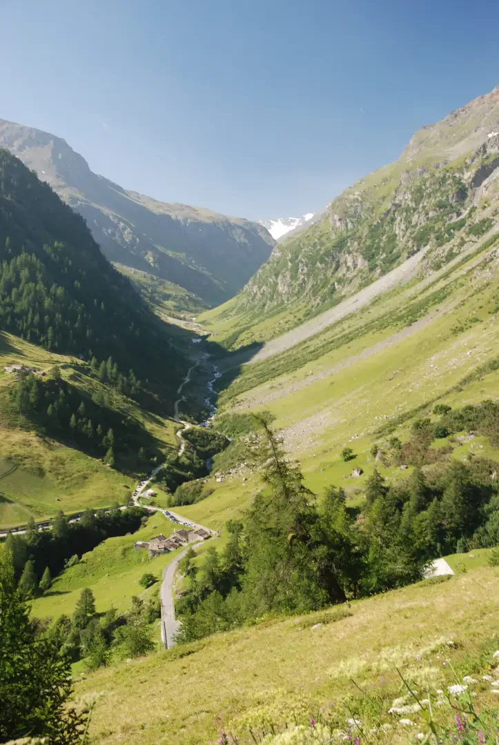
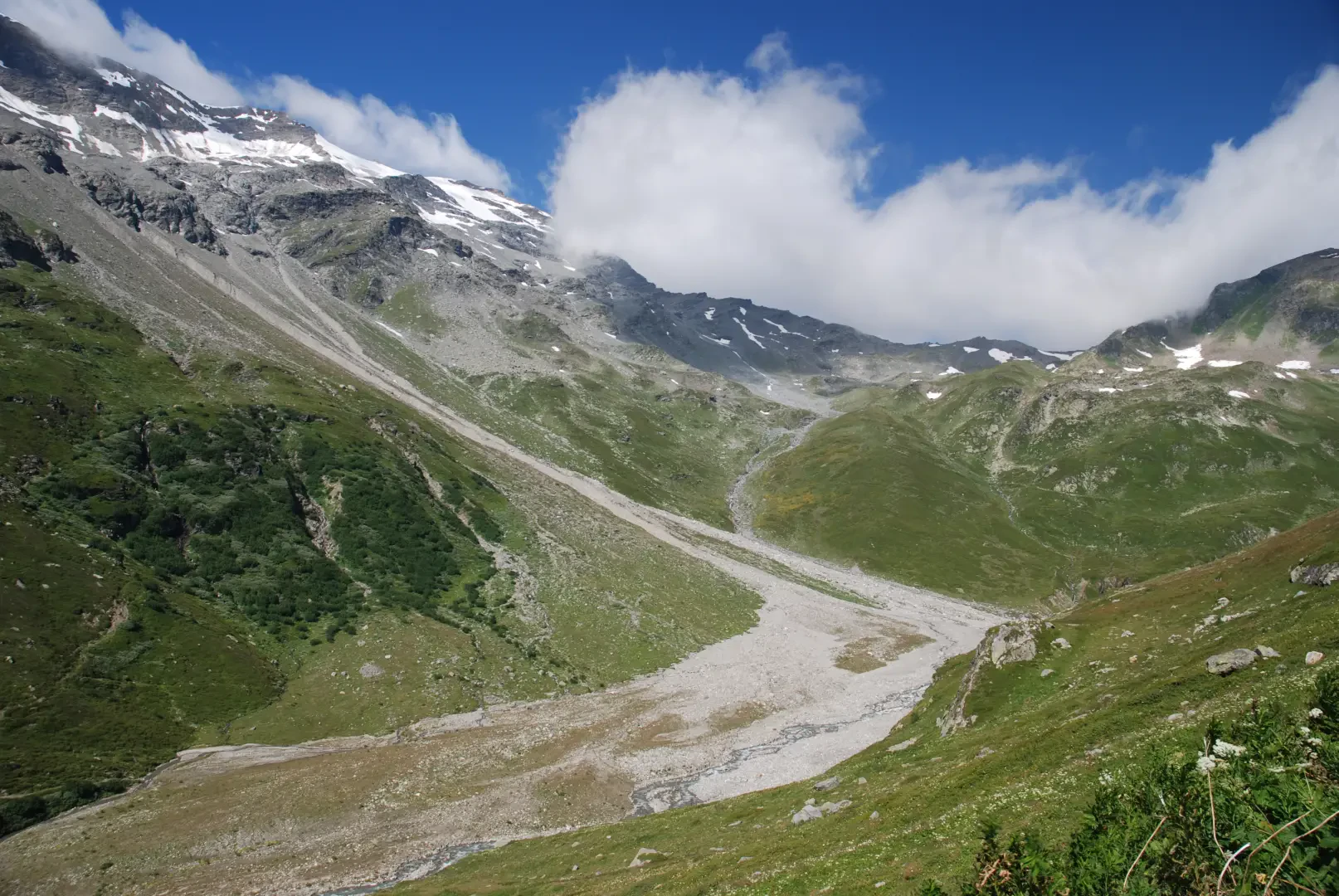
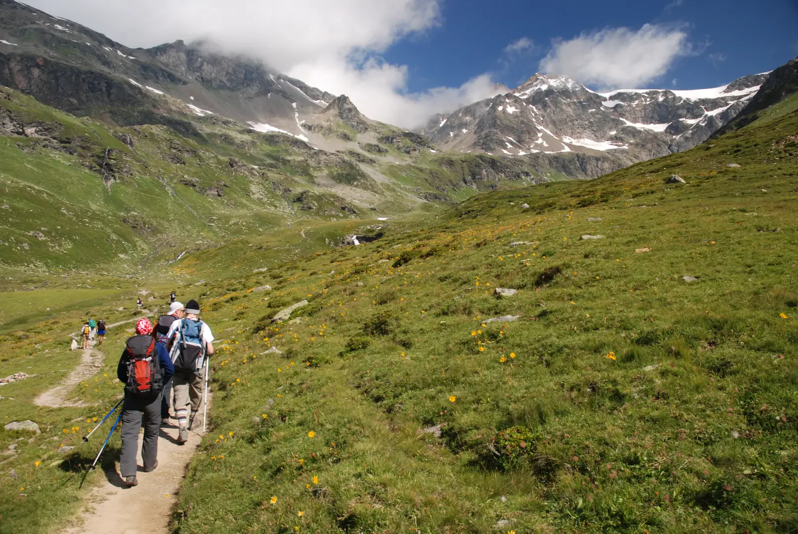
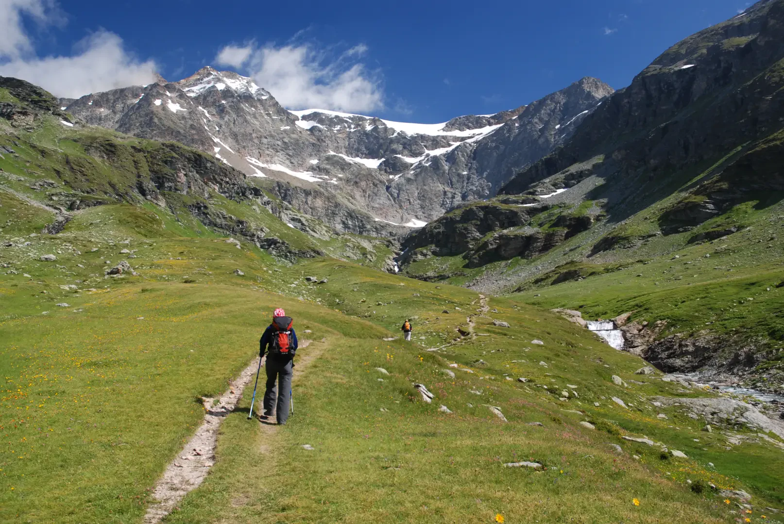
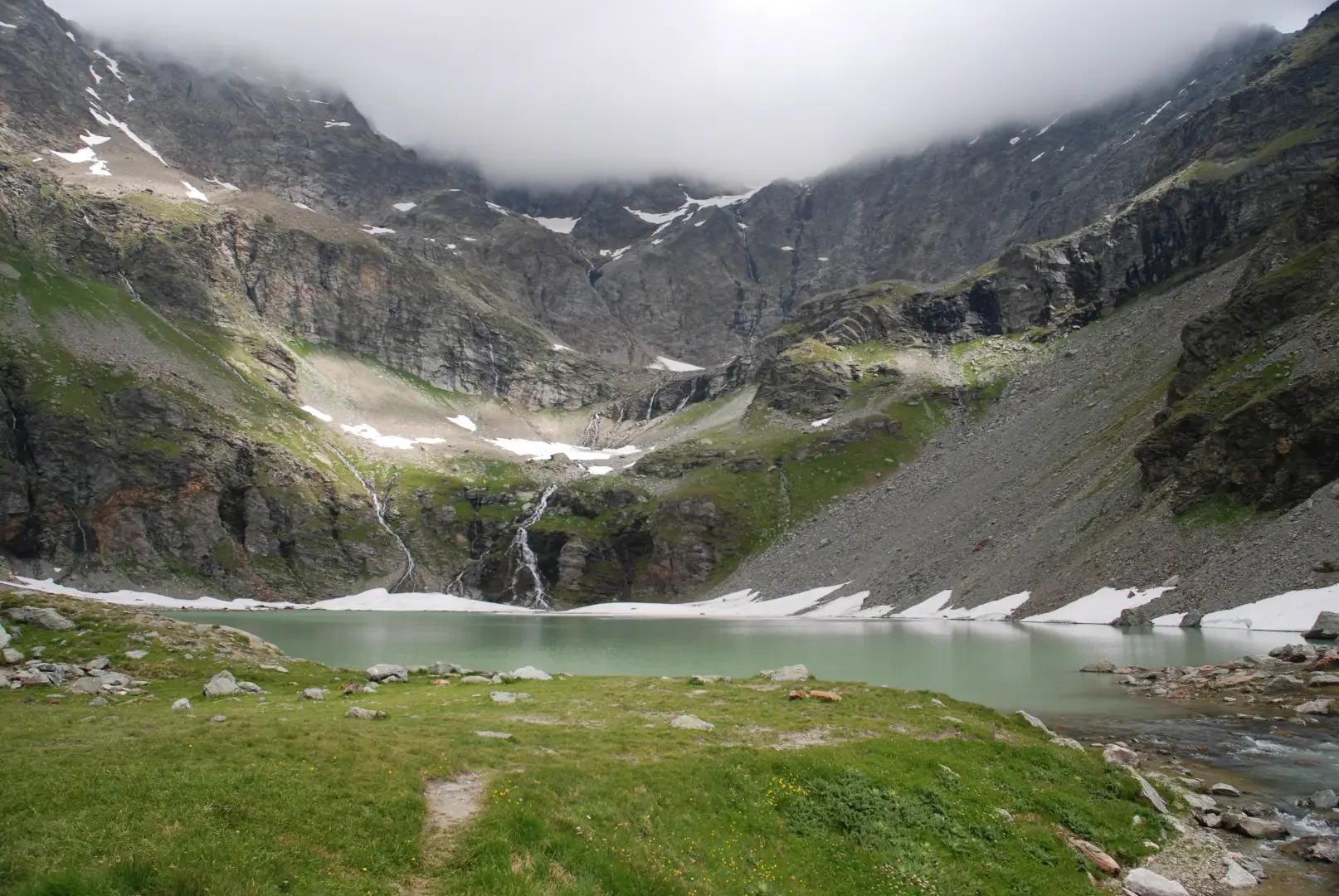
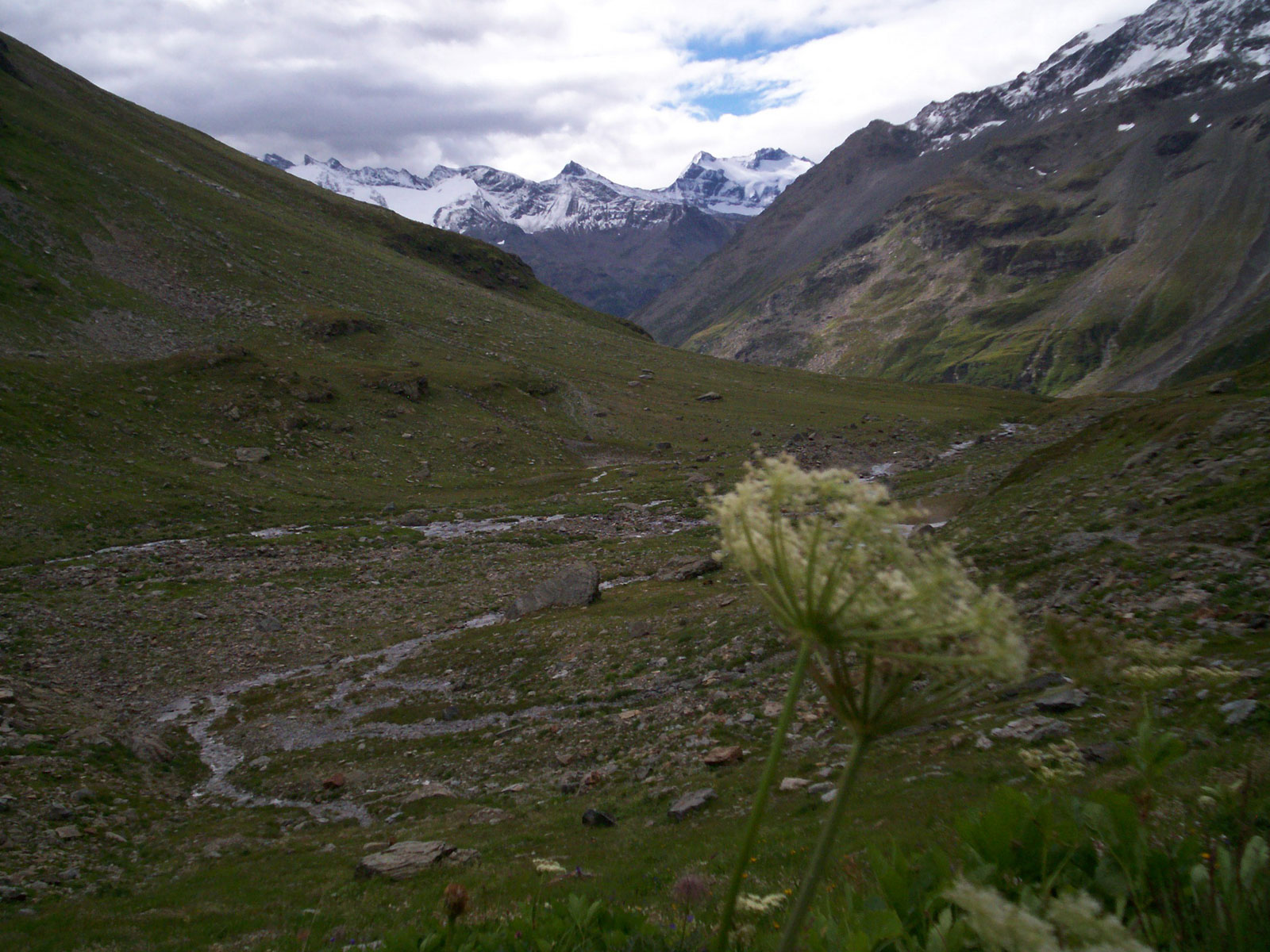
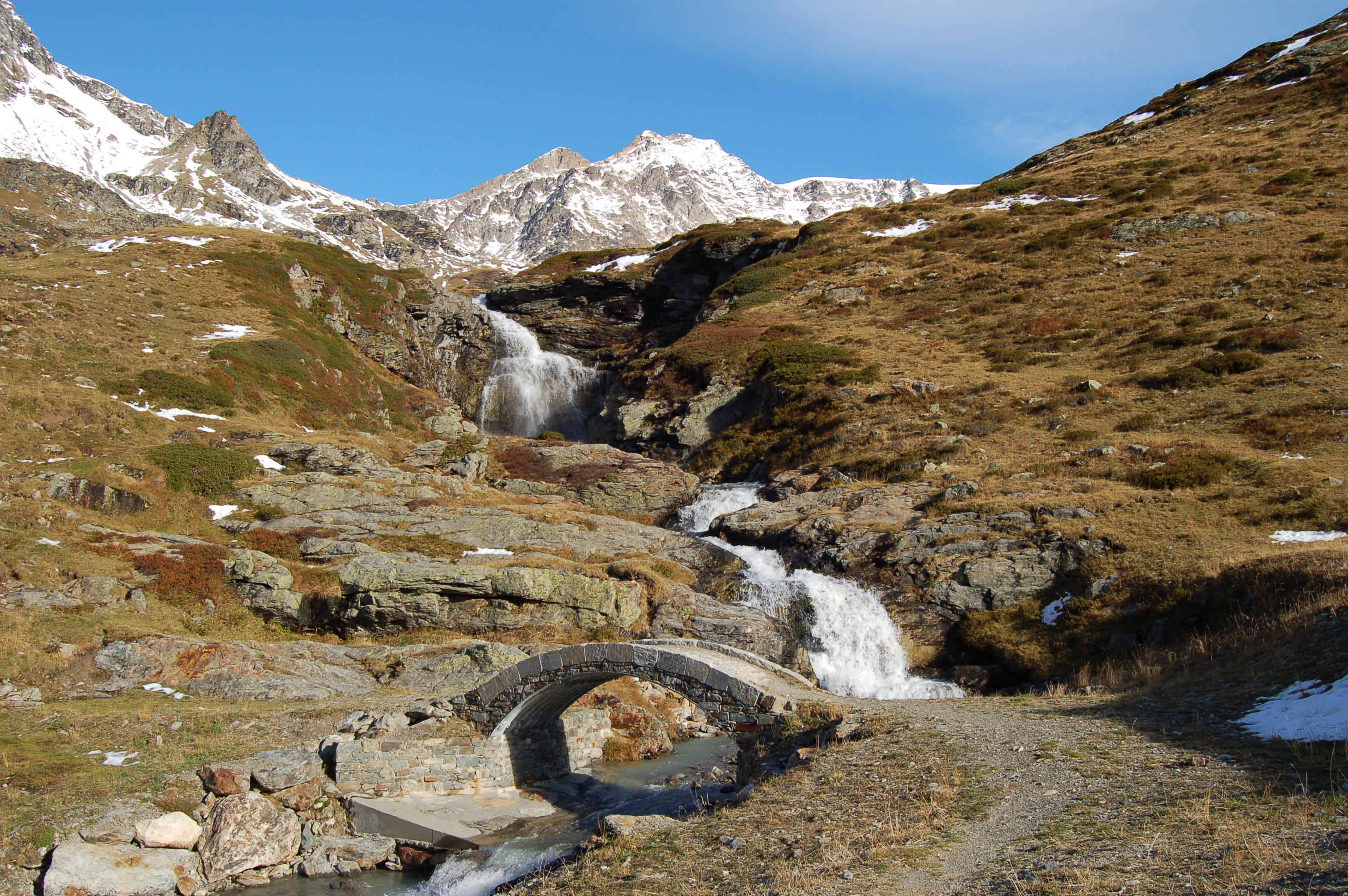
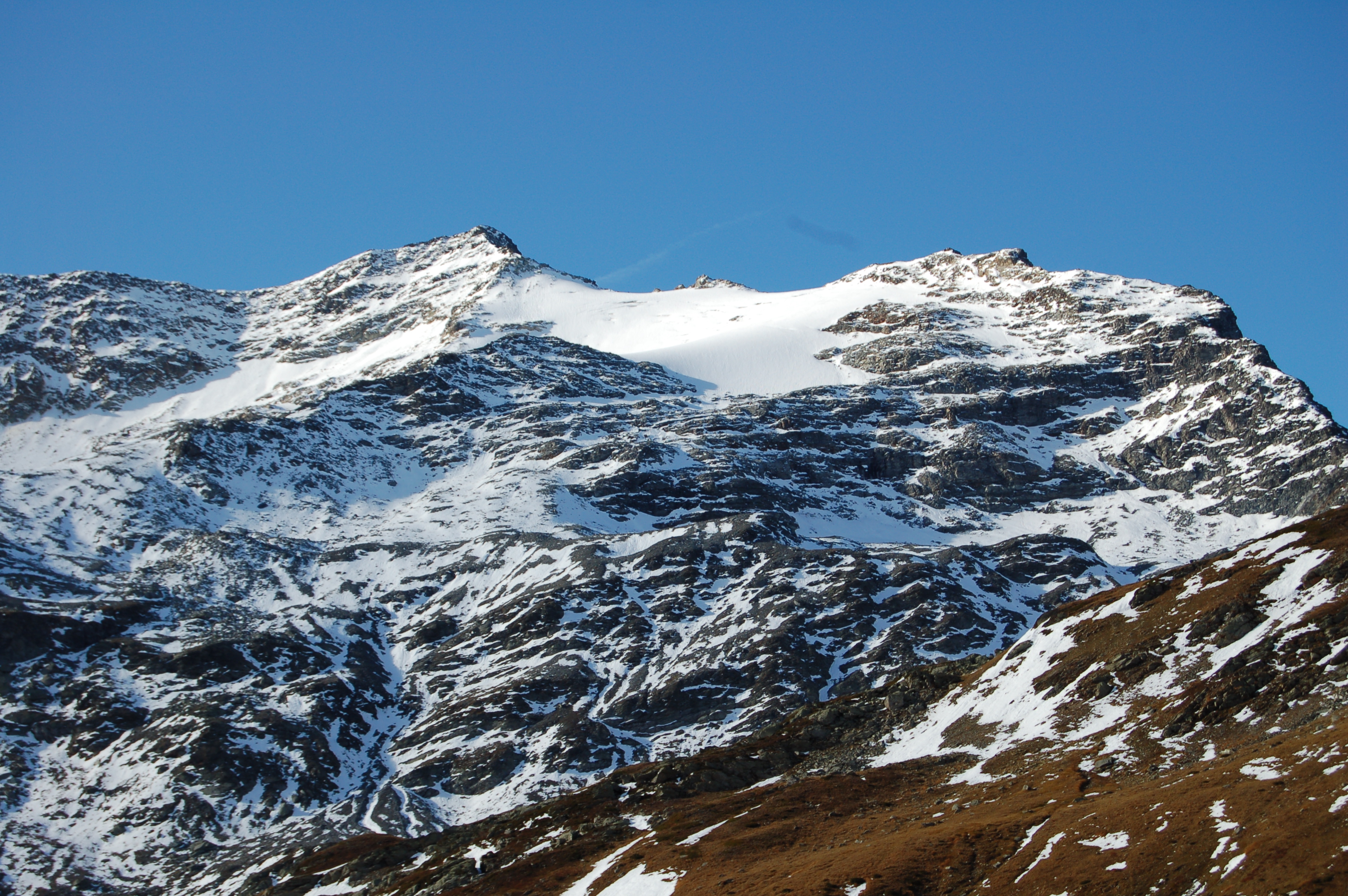
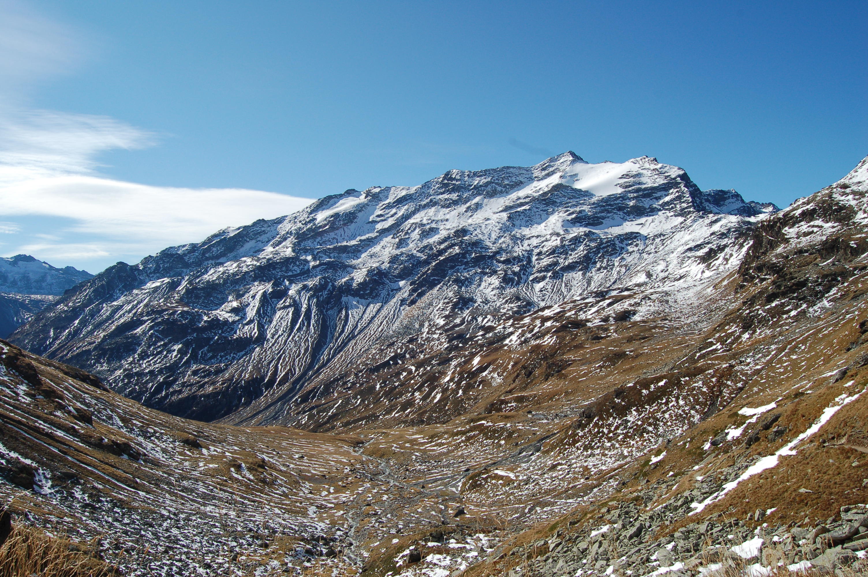
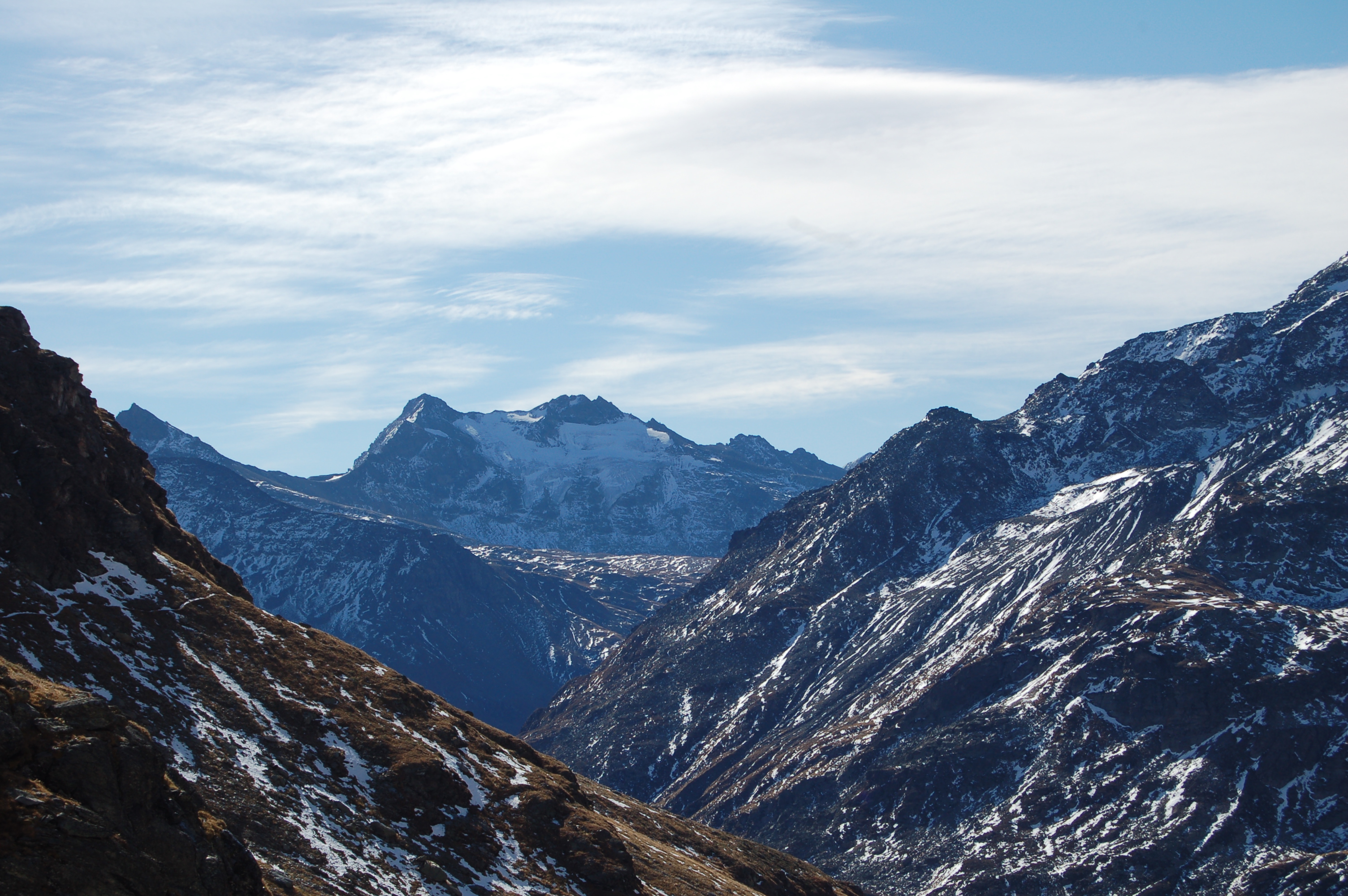
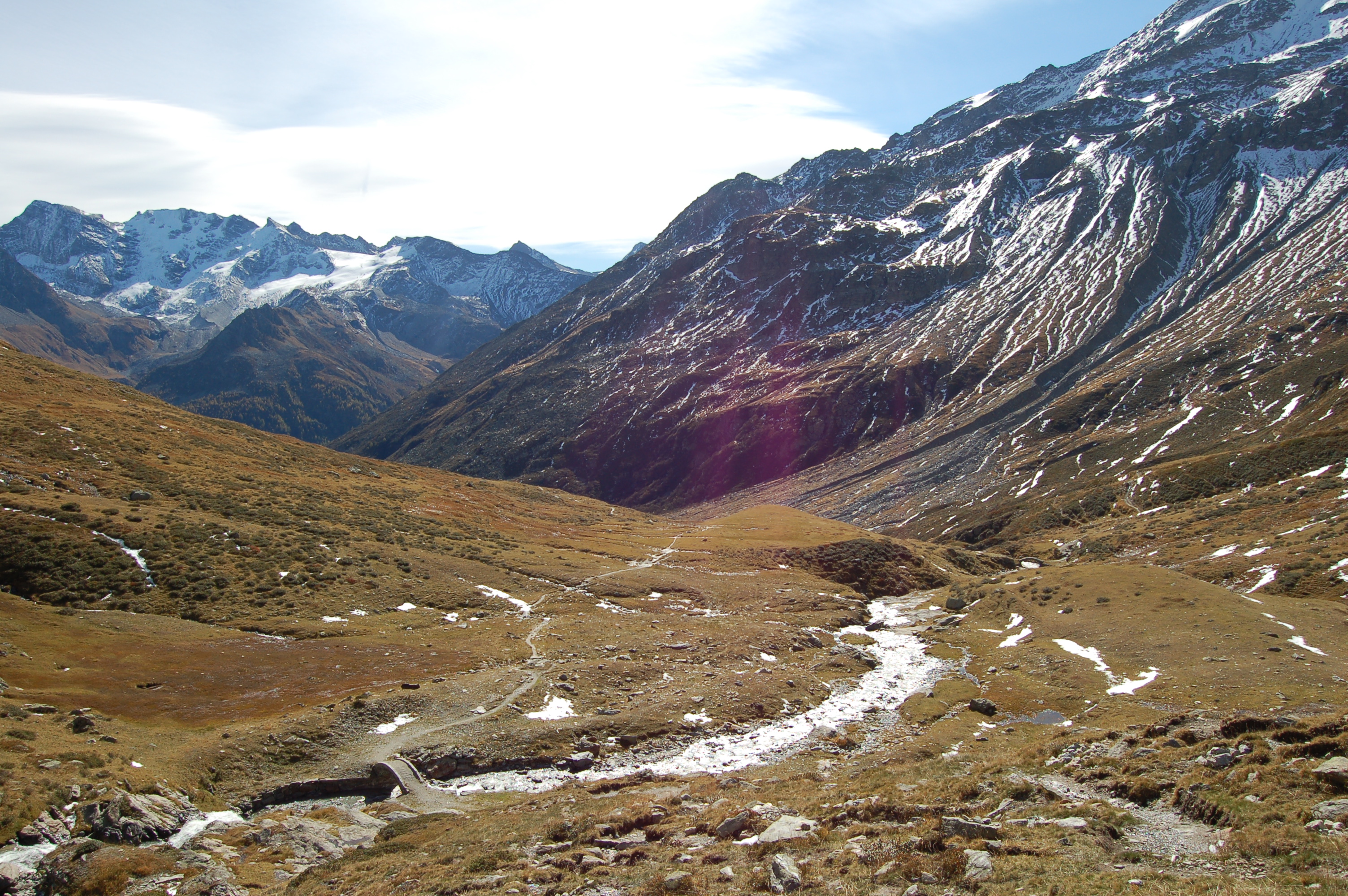
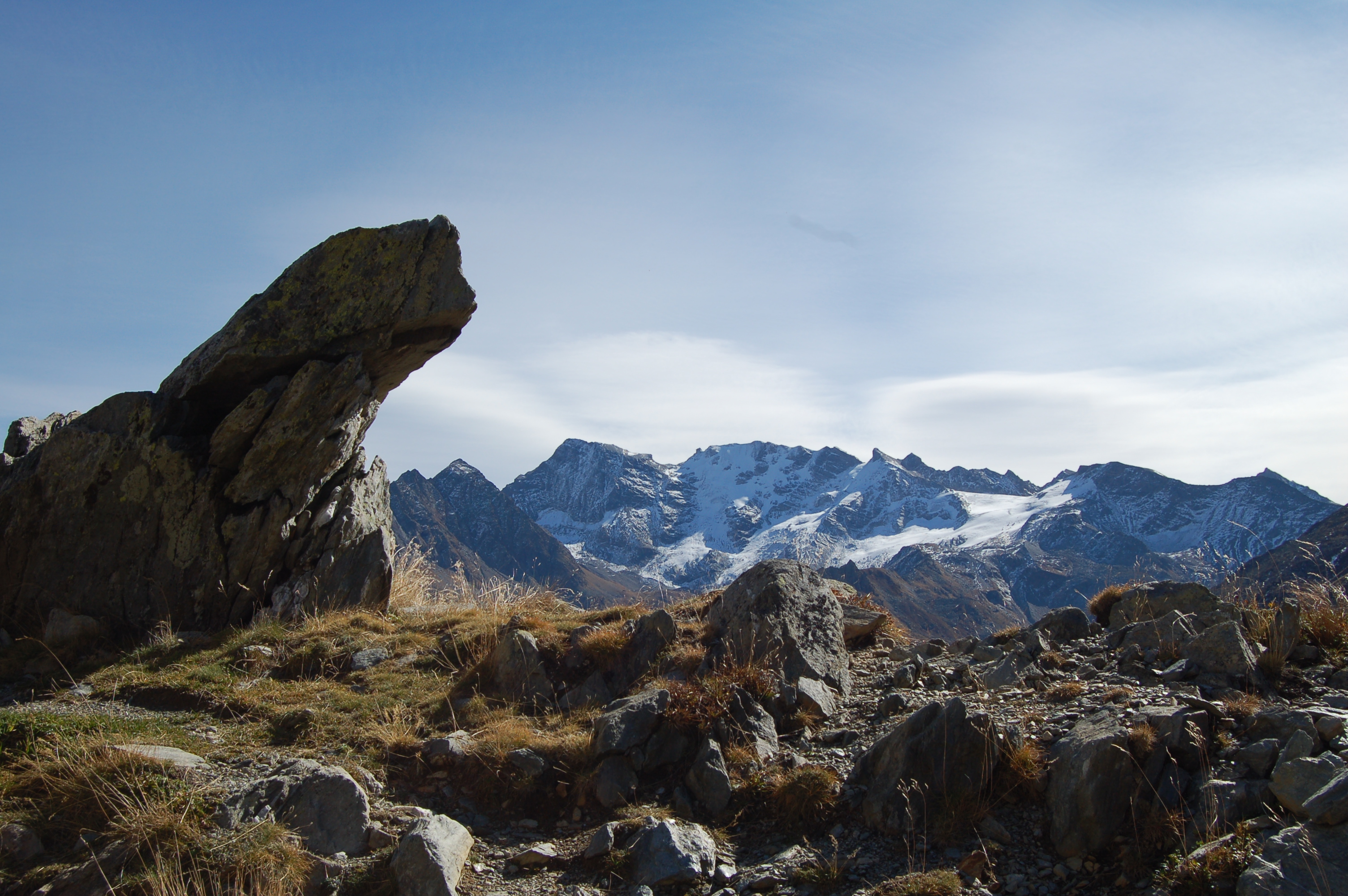
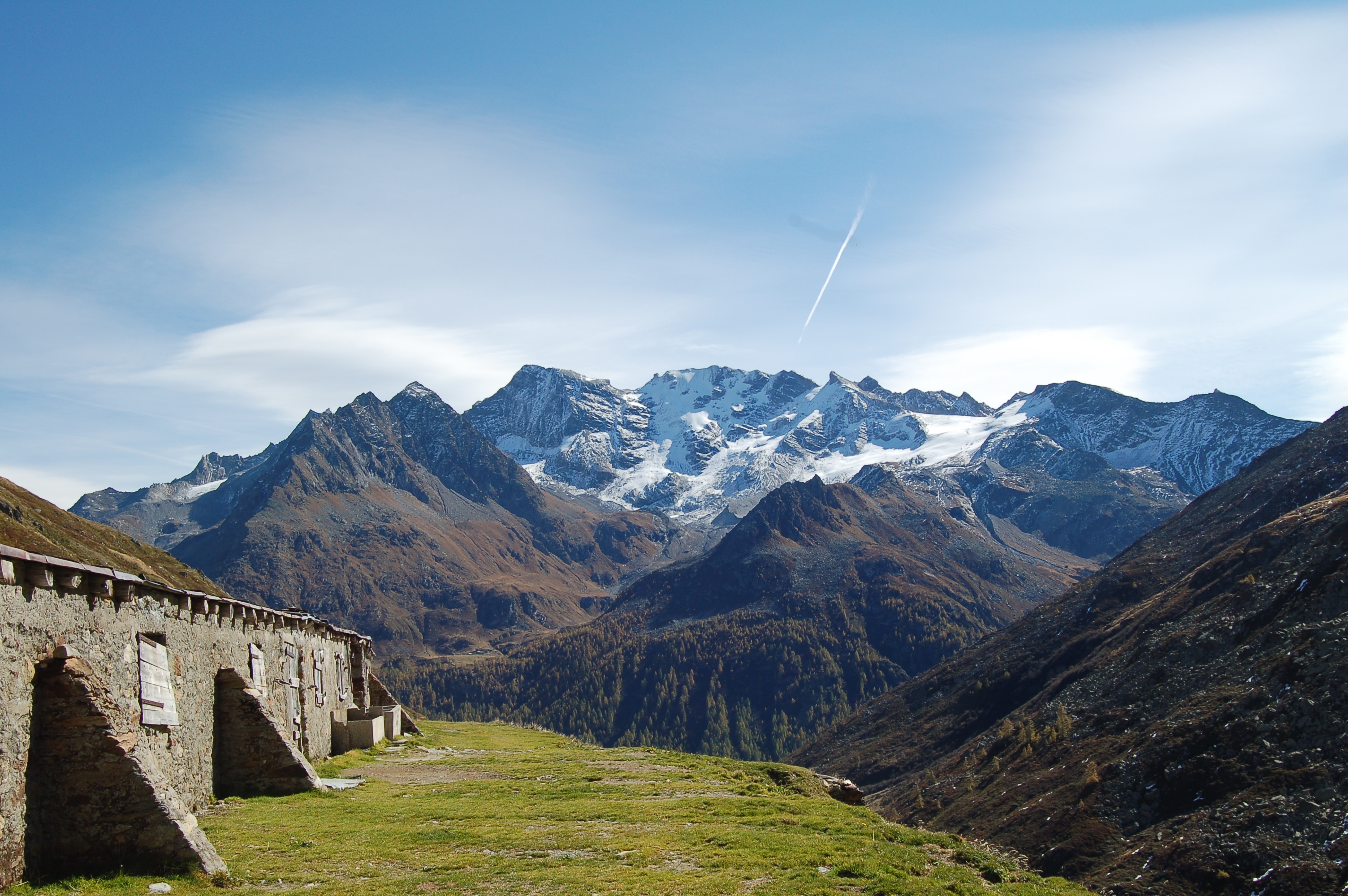
A walk along the wartime path through the wide Saint-Grat valley and ascent to the lake nestled between the rock walls of Becca du Lac and Testa del Rutor. In the background, the Testa del Rutor will accompany you along the entire route.
Description
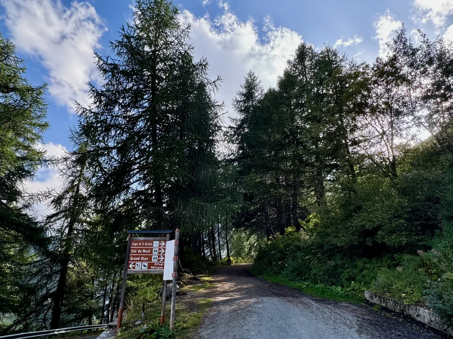
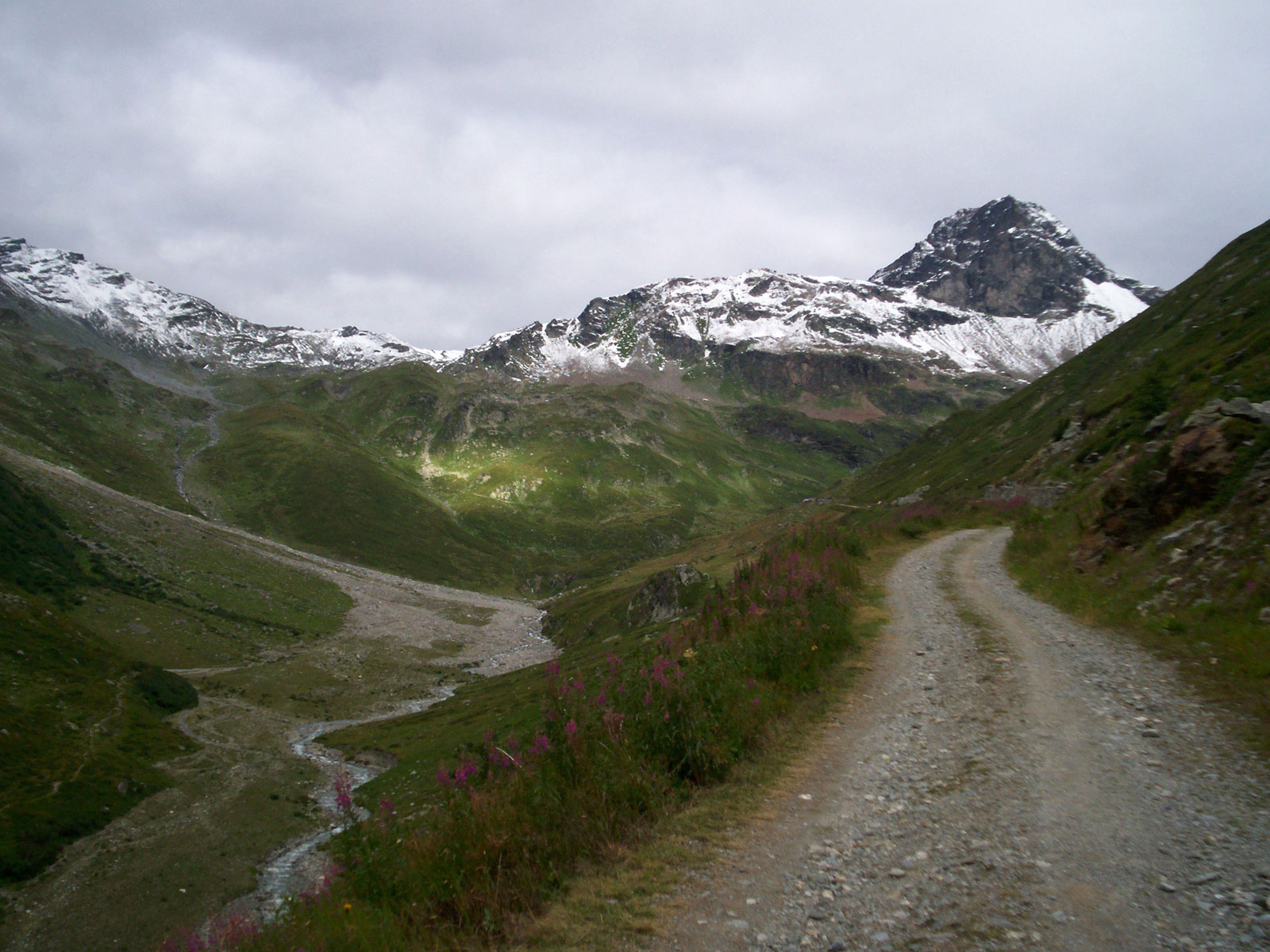
0h00' Following the signs for Lago di S. Grato, shown on the brown tourist panels, take the little road that climbs up the San Grato valley, veering to the right: along this first stretch you can enjoy interesting panoramic views of the upper Valgrisenche.
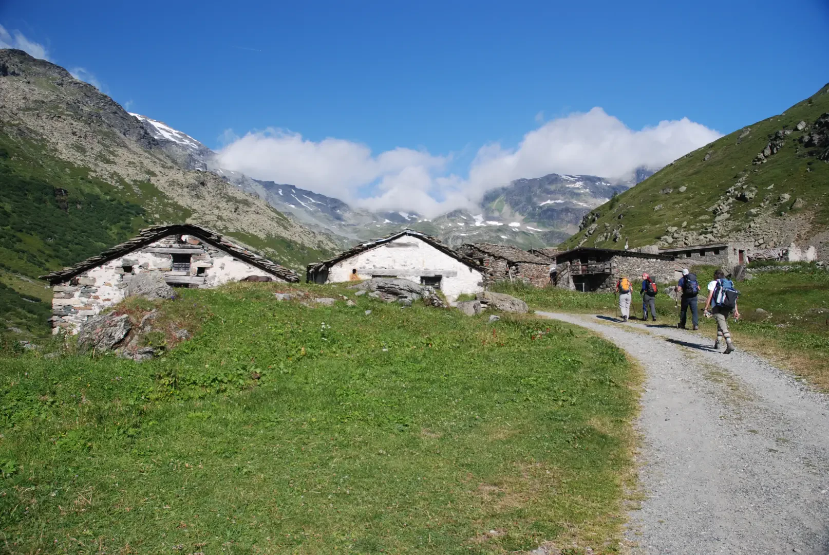
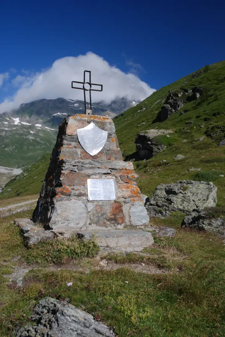
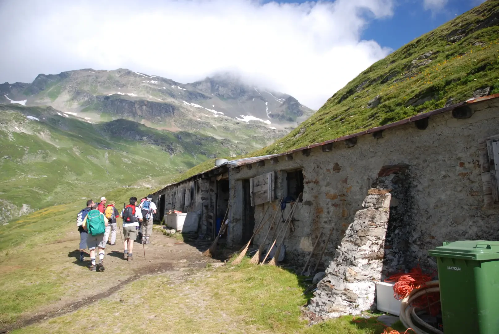
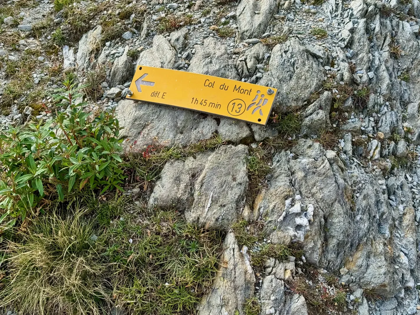
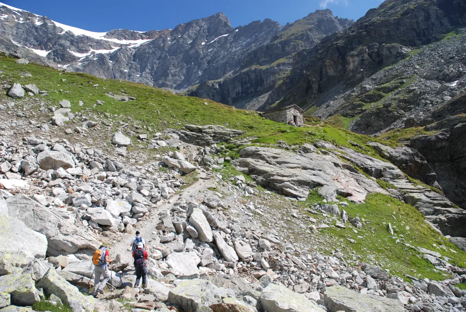
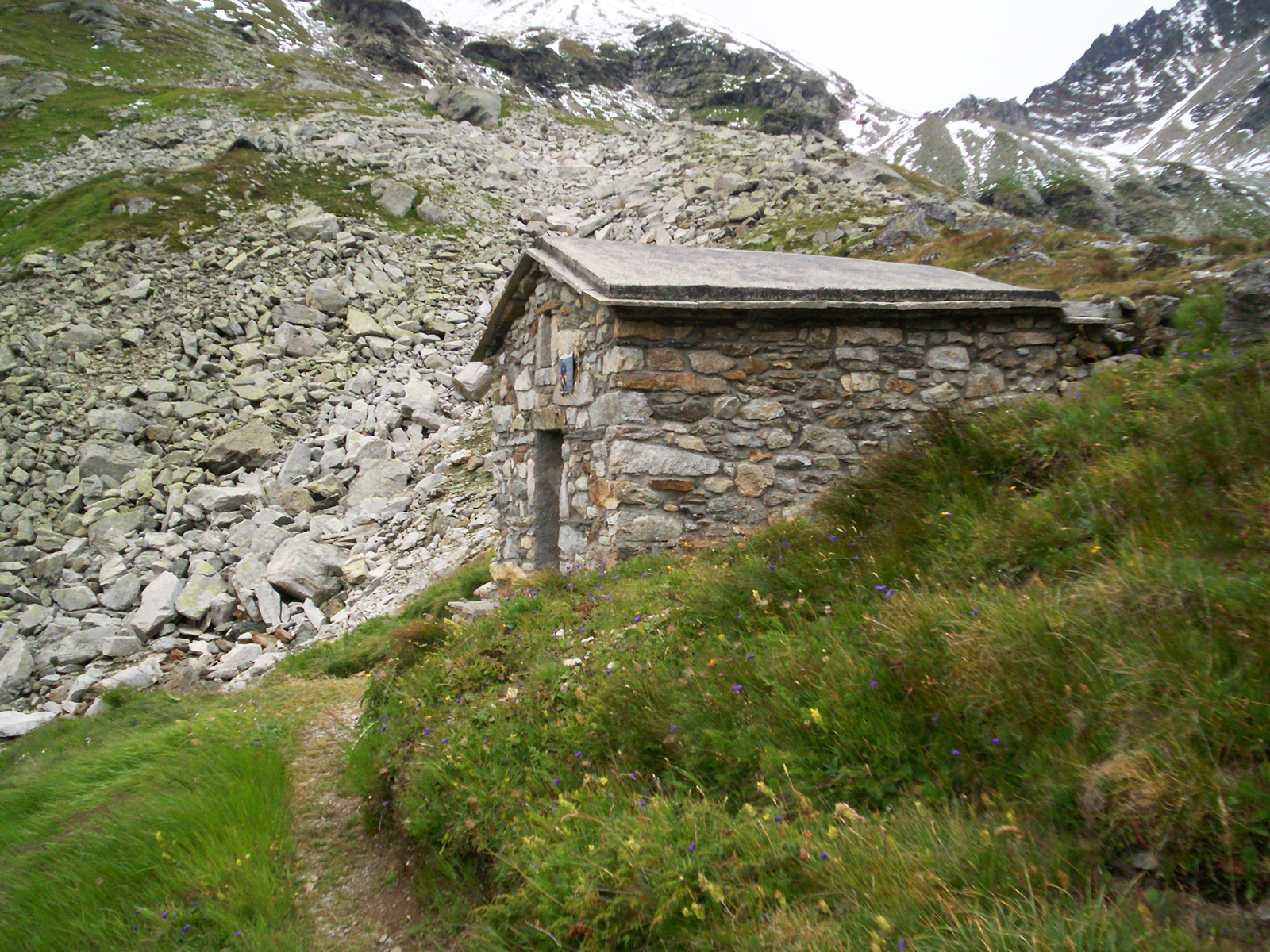
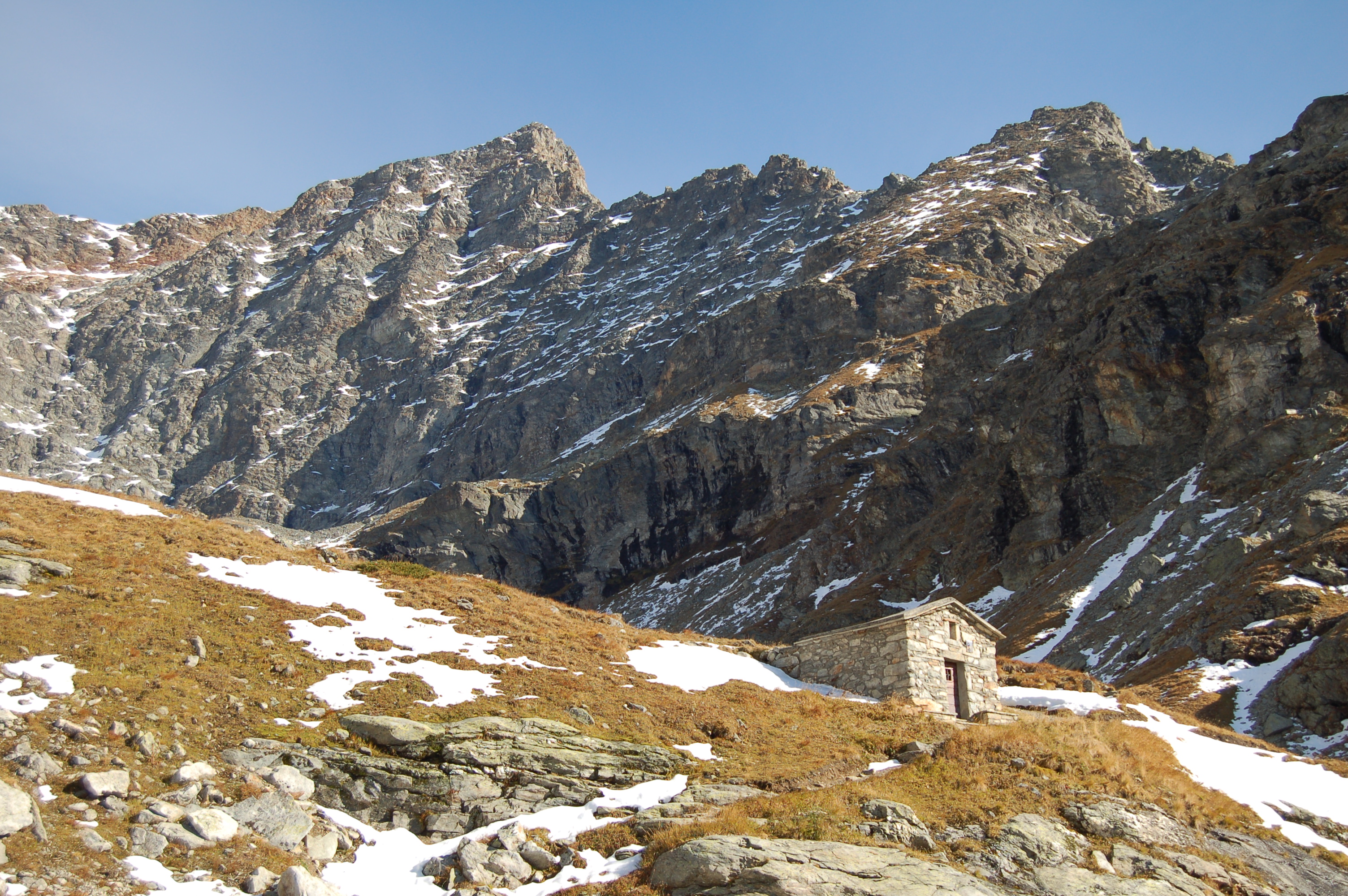
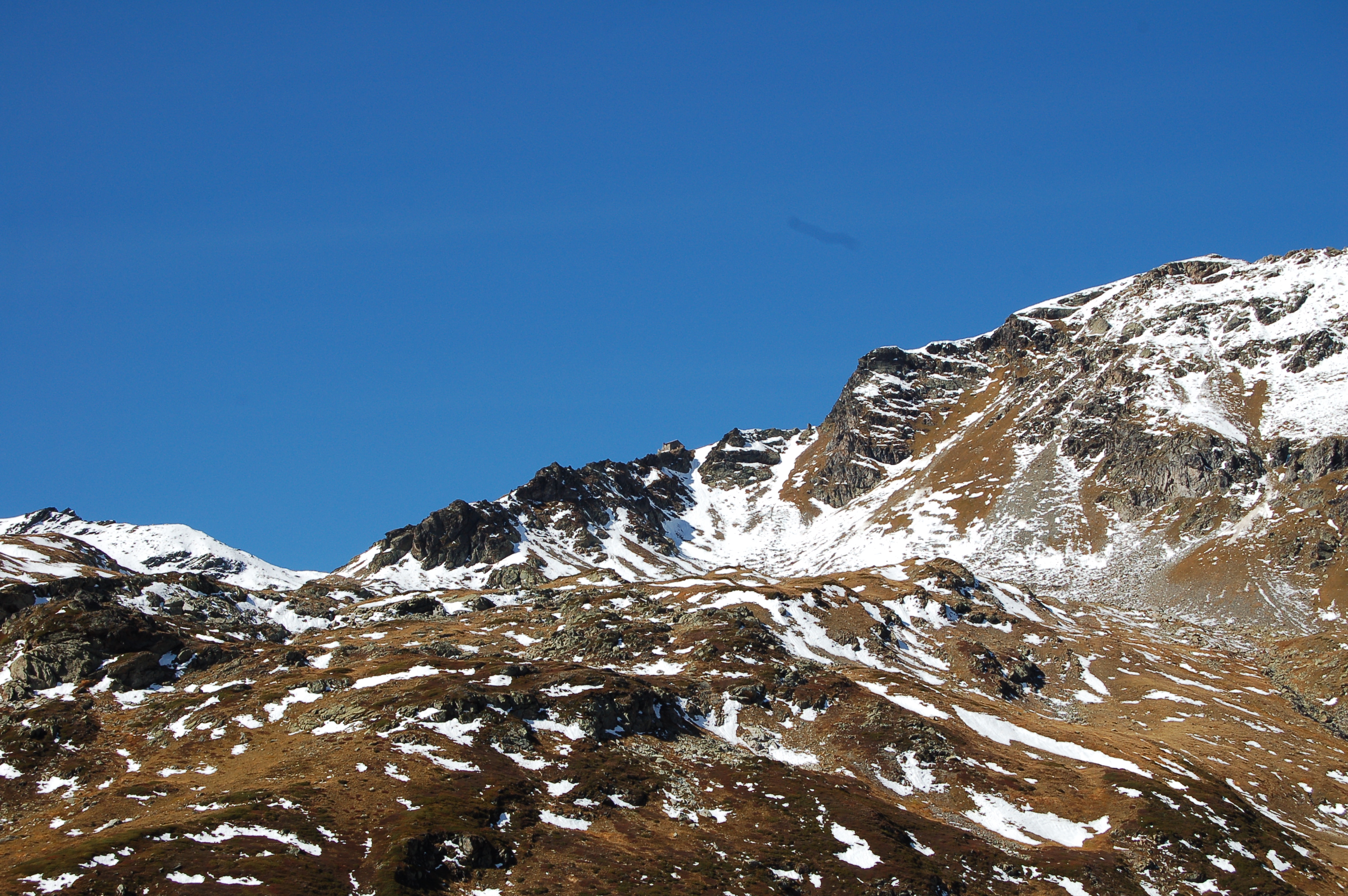
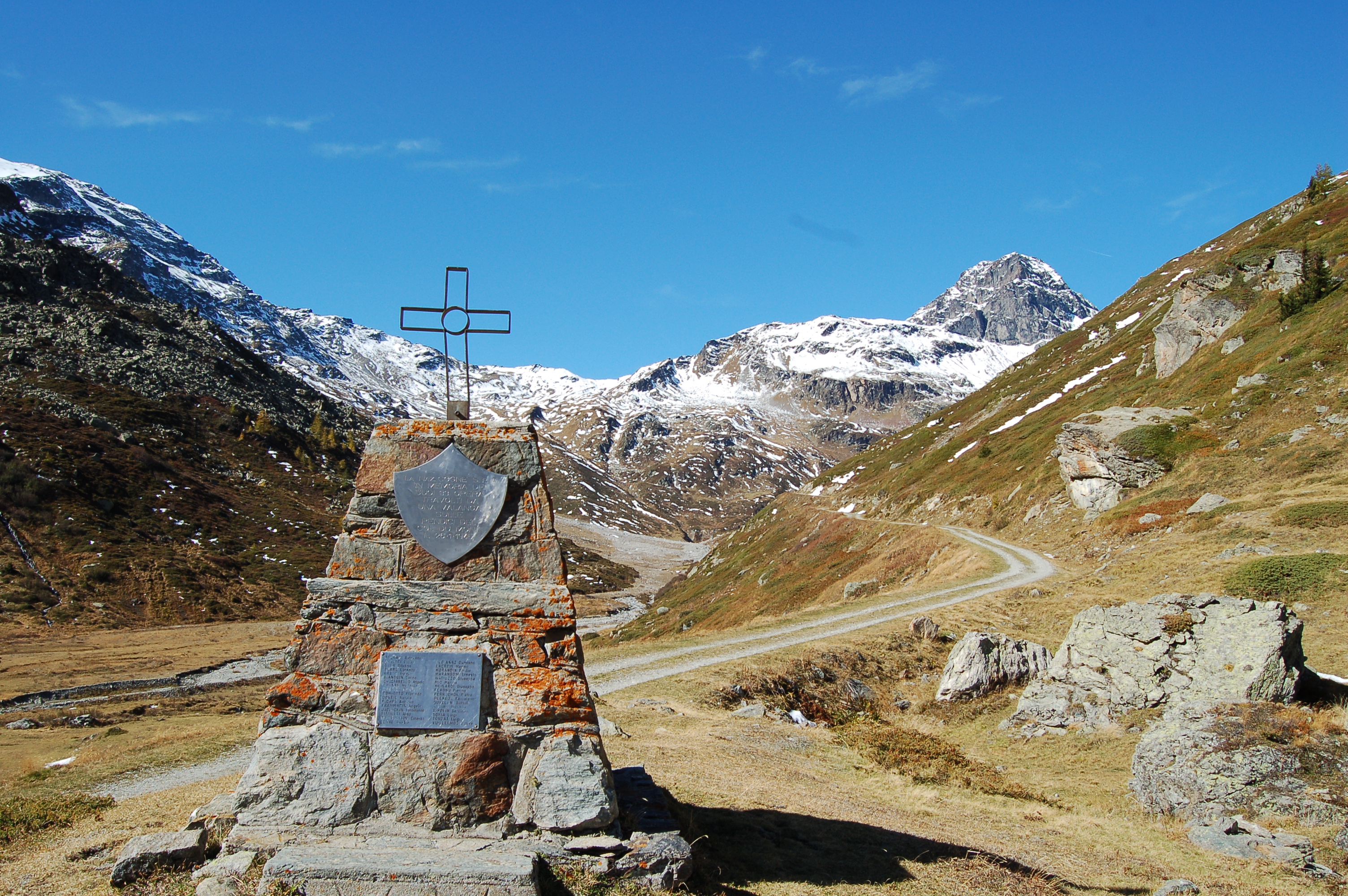
0h15' We reach the village of Grand'Alpe (1995m) where, continuing on the right, we meet a monument dedicated to 33 workers who died under an avalanche in an attempt to reach the Col du Mont at gunpoint in January '45. Continuing along the road that follows the coast, you reach the Révéraz dèsot mountain pasture (2153m): from here, you can see the ruined refuge that represents the Franco-Italian border on the Col du Mont.
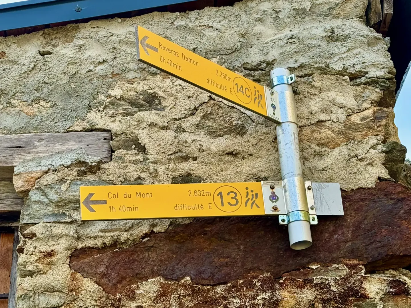
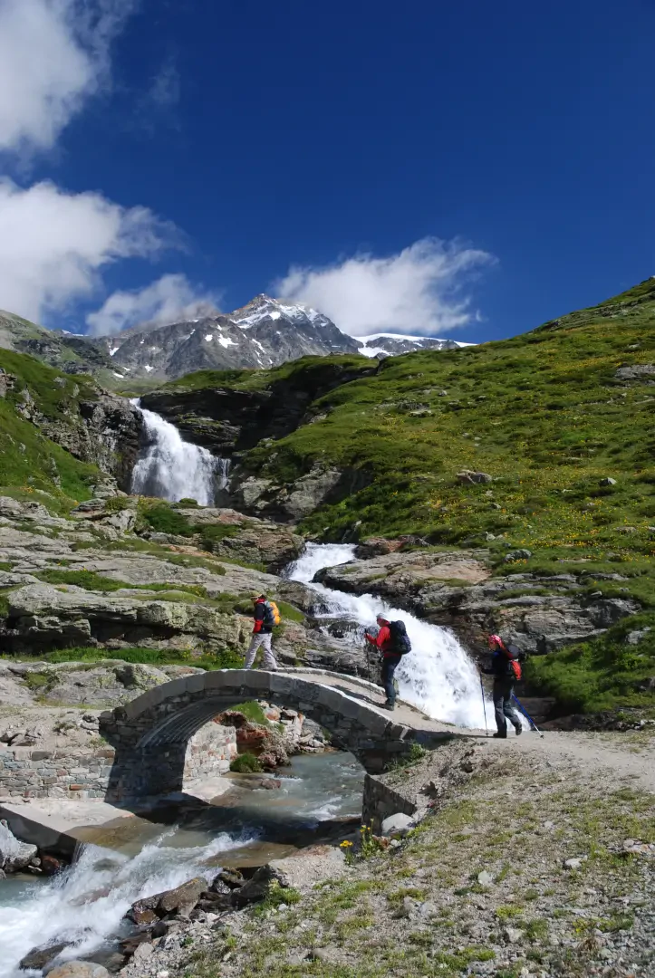
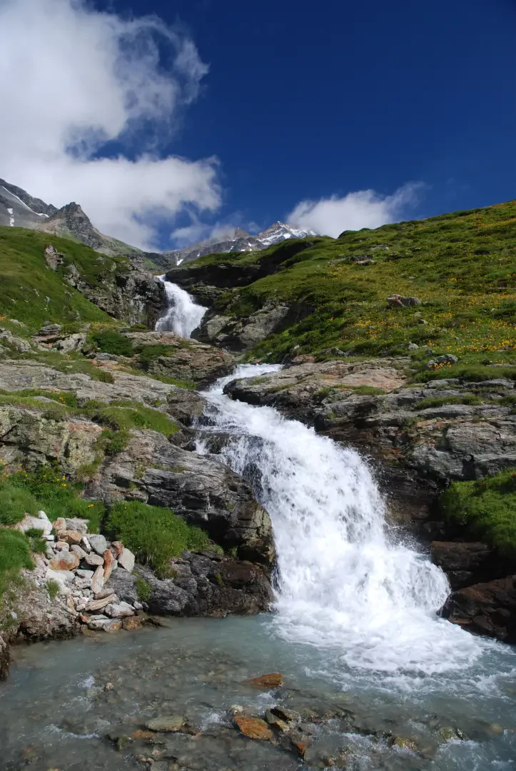
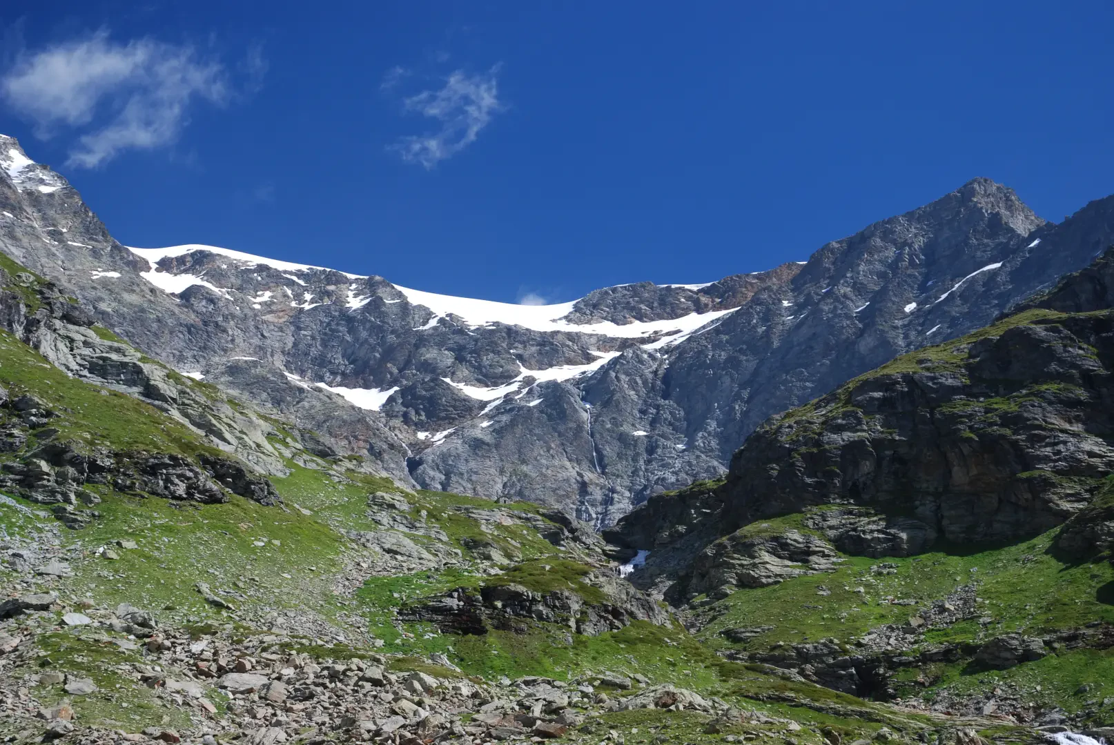
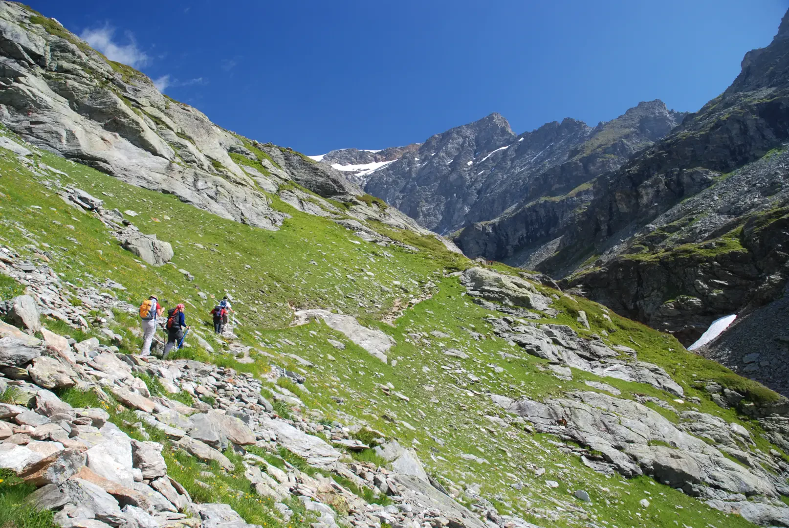
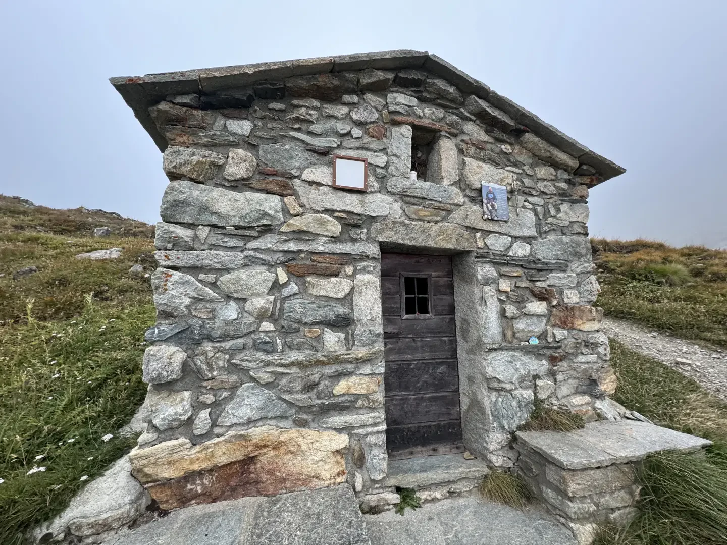
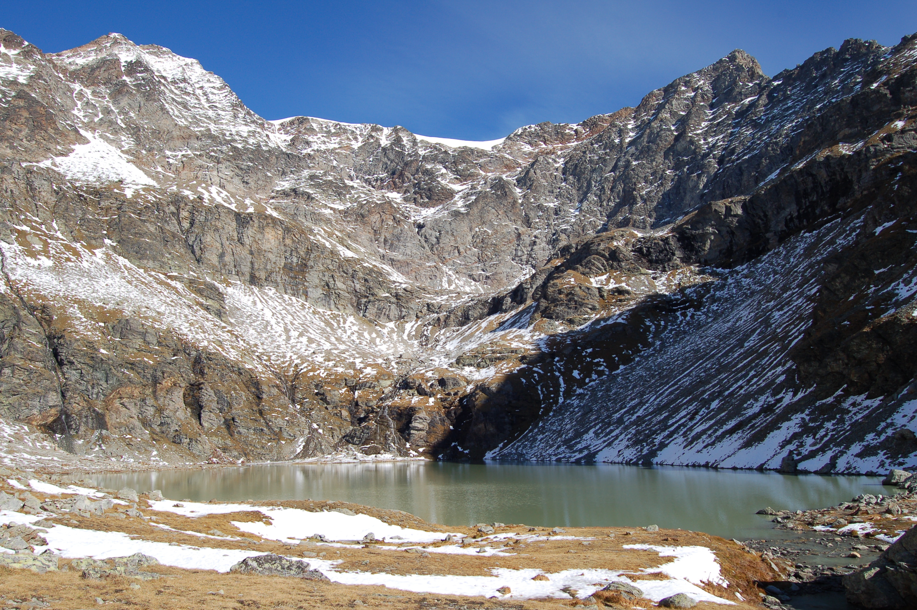
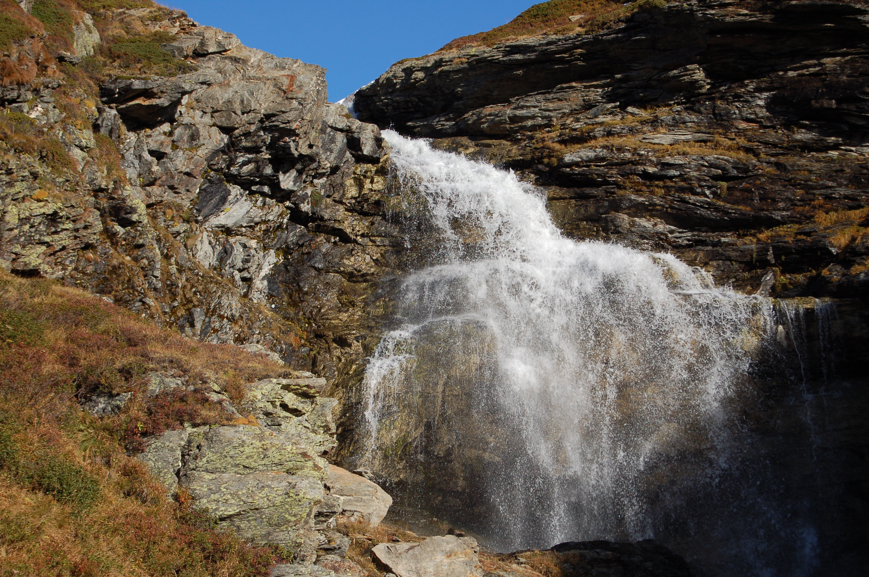
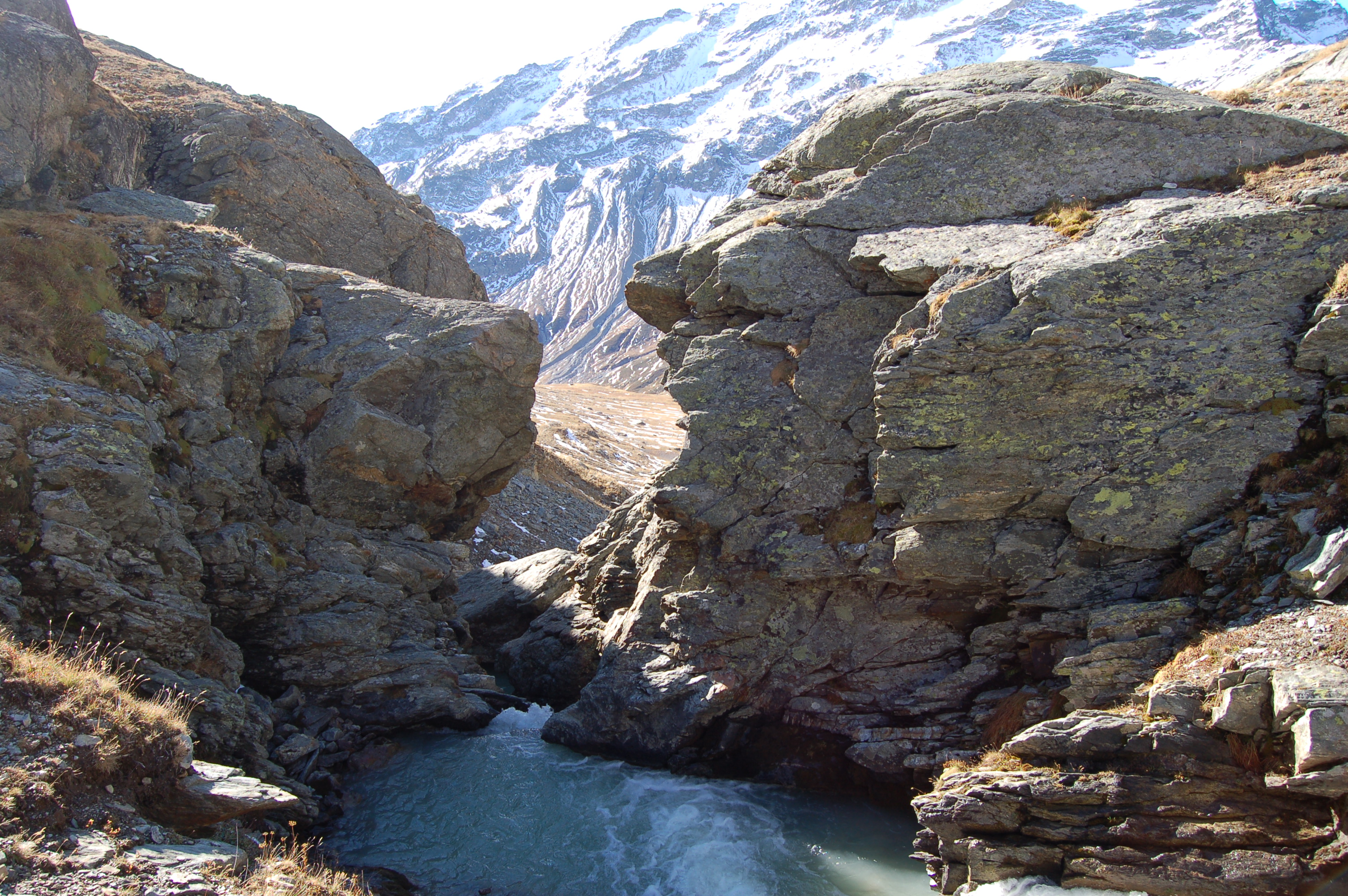
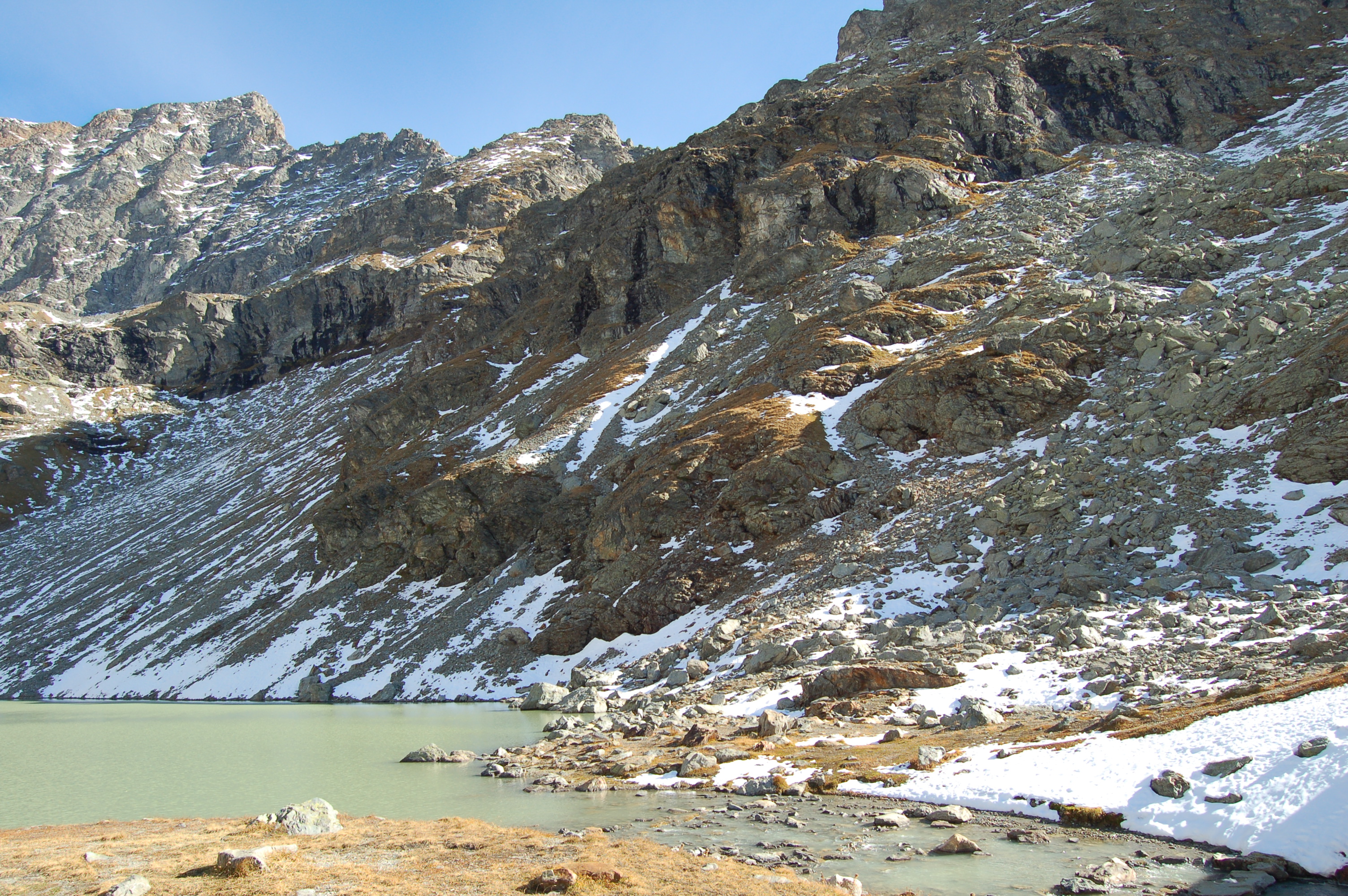
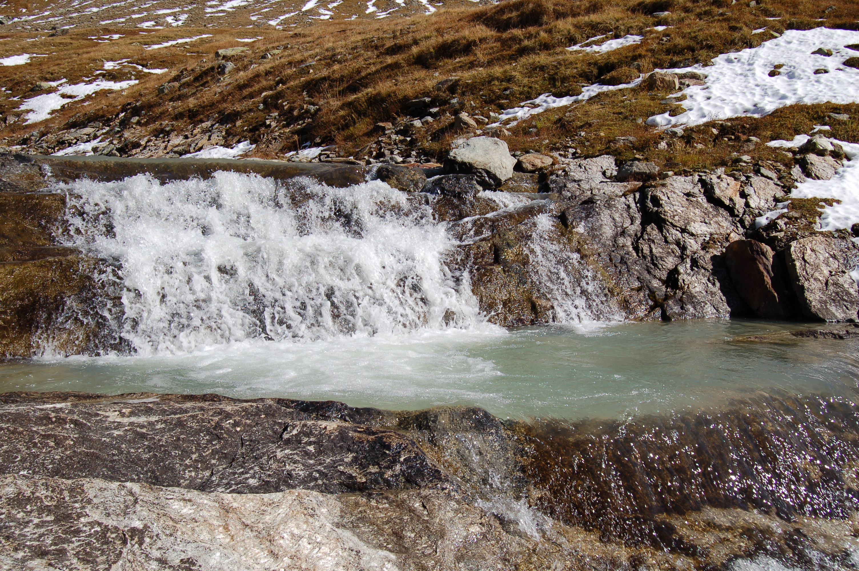
0h50' Shortly after Révéraz dèsot, the dirt track ends and the path forks: on the left is the path leading to the Col du Mont; neglect this diversions by continuing into the valley until you reach a small bridge that allows you to cross the stream just below a waterfall. Continue up a short ridge to enter the basin before the lake, in the sight of the Becca du Lac. At the end of the short plateau, there is a change of slope. Proceed halfway up the slope, crossing an area where it is possible to encounter snowfields even in late June. At the end of the diagonal, you come to the little chapel of Saint-Grat, which is just a few metres before the lake of the same name (2462m, 2h00'). The descent follows the same route as on the outward journey 1h30'.
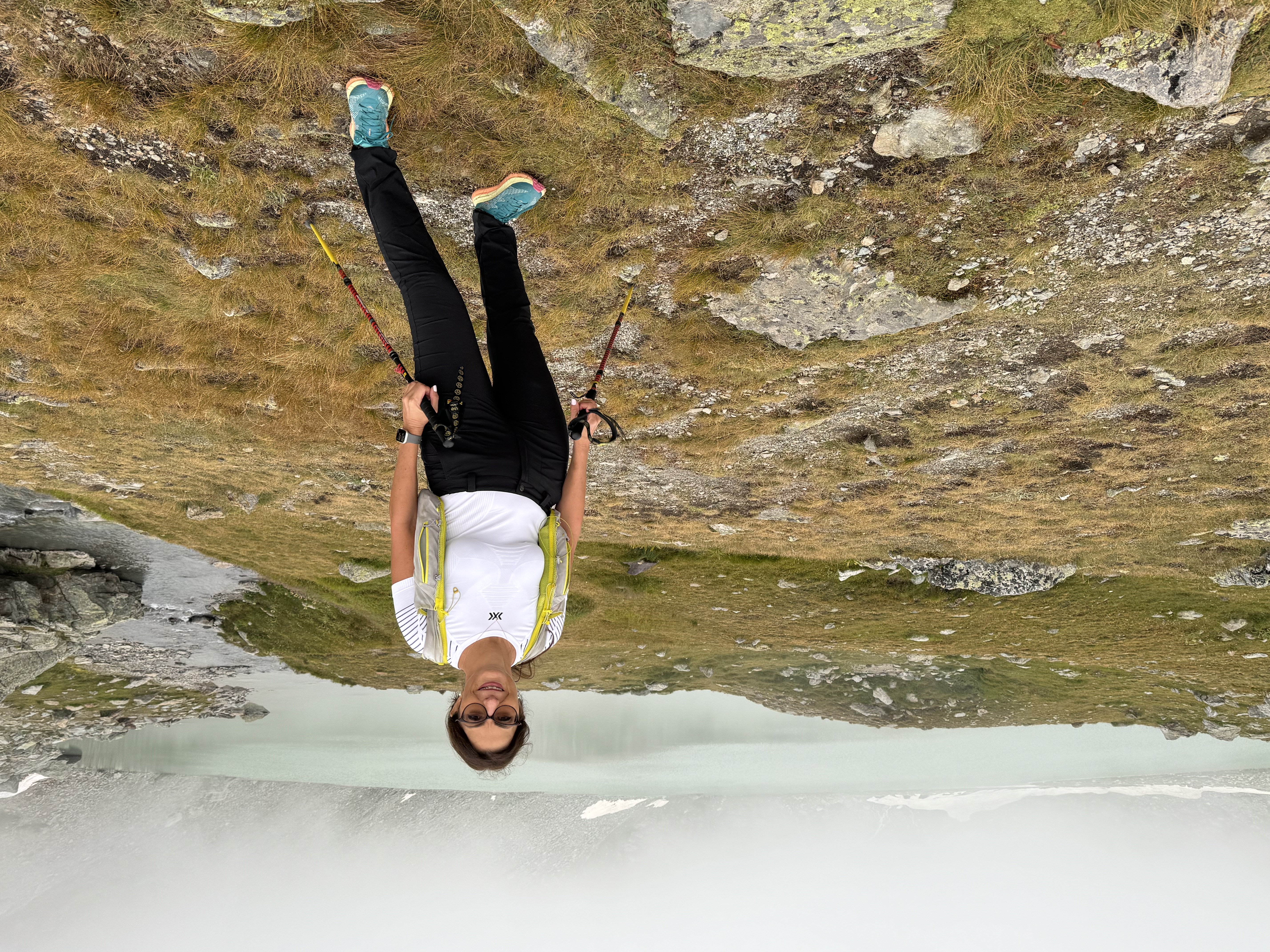
Con Sabrina sulle tracce del Tor del Glaciers per vedere qualche amico. Arrivo al lago tra le nubi ma le luci di fine giornata hanno reso magica l'atmosfera del posto.
La nevicata di sabato ha lasciato il segno in questa vallata. Nell'ultima parte del tracciato per arrivare al lago, la neve sul sentiero mi ha costretto a salire scavandomi i gradini perchè si sprofondava sino a metà polpaccio.
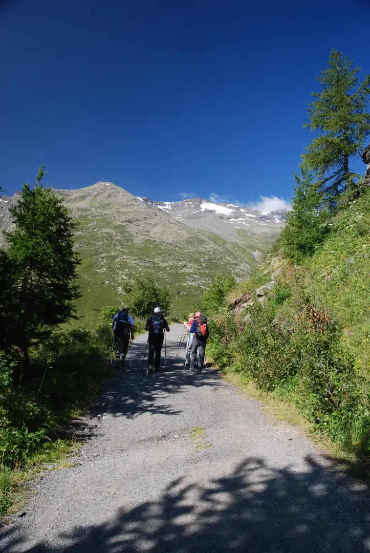
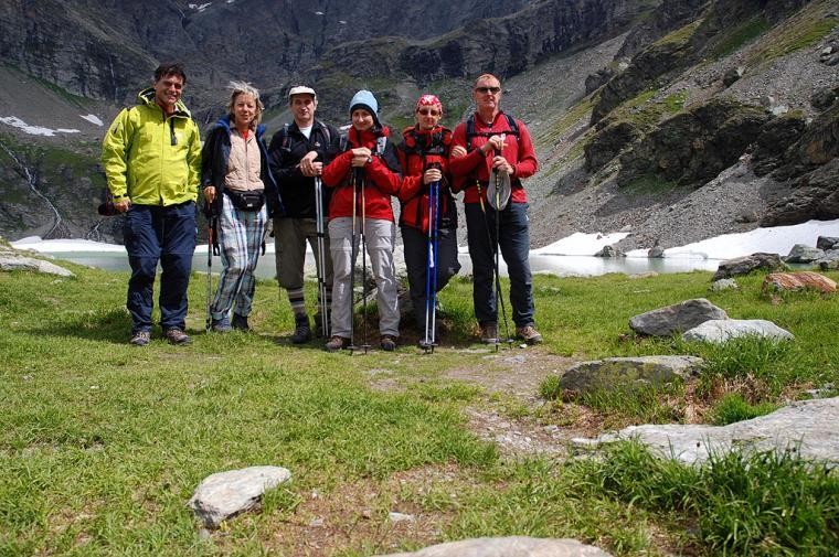
La prima escursione inalto è andata. In una fresca giornata il gruppetto dei sei avventurosi ha raggiunto il Lac de Saint-Grat: bella esperienza che sicuramente riproporremo con piacere.
Il rientro è avvenuto lungo il sentiero
fino Revéraz dessus e poi in discesa sino alla partenza.
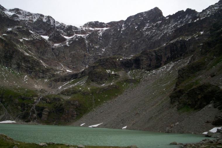
Sono stato al lago di Saint-Grat l'estate scorsa. Una bellissima escursione per chi vuole riposarsi la mente e godersi il panorama. Lì non c'è nulla... o meglio... c'è tutto quello che uno possa pretendere dalla montagna: quiete, natura, tranquillità. E poi, nella conca che ospita il lago, un FREDDO POLARE. Ma ne vale veramente la pena.


Comments (0)
Sign in to leave a comment