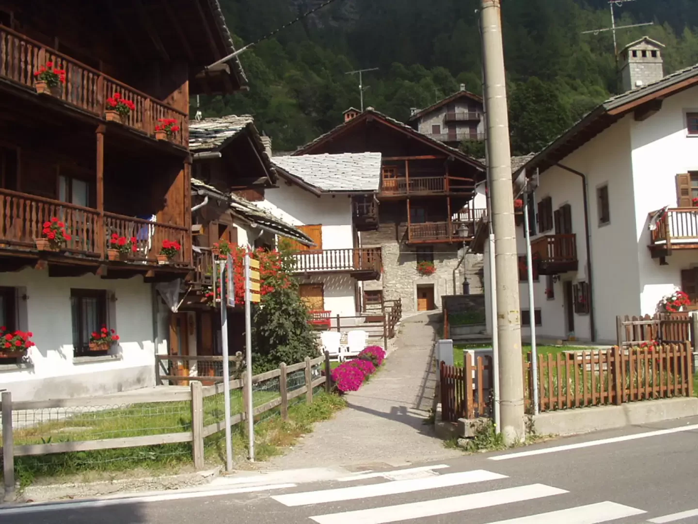
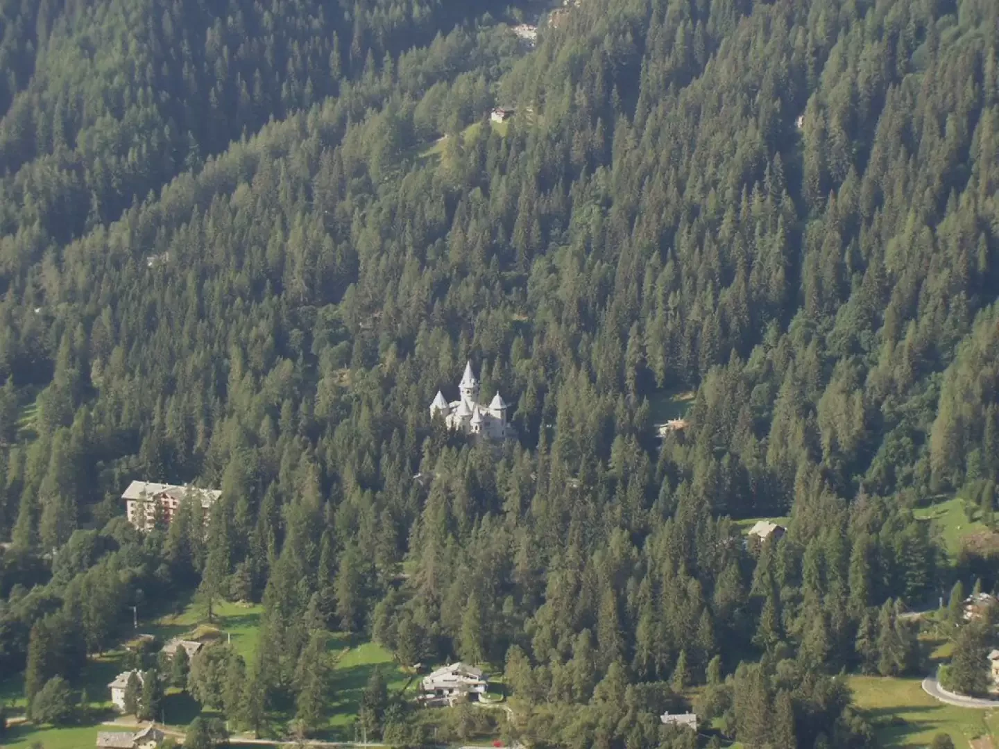
Leaving the motorway at Pont-Saint-Martin after 100 m, turn right, pass a traffic light and continue to the junction for Gressoney. Enter Pont-Saint-Martin and turn right onto Regional Road for the Gressoney valley. Follow the road past Lillianes, Fontainemore, Issime and Gaby to the village of Valdobbia (Verdebiô), about 1 km before Gressoney-Saint-Jean, where you turn left towards Castello Savoia. After crossing the bridge over the Lys stream, turn right and park along the stream.
Introduction
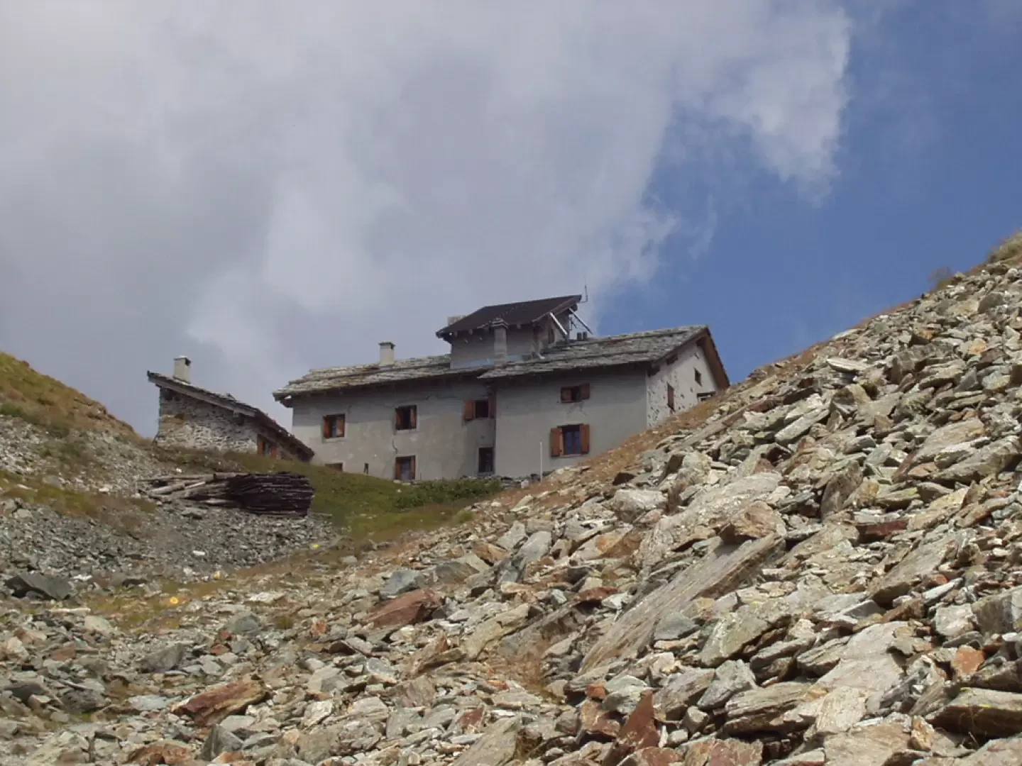
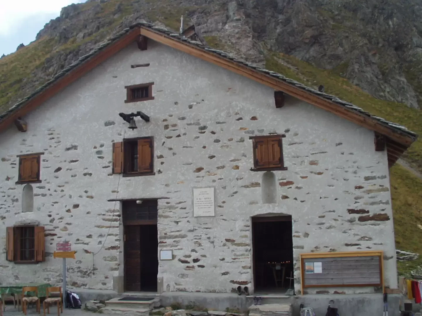
The Rifugio Ospizio Sottile is located at the Colle Valdobbia, a wide pass between the Corno Valdobbia and the Punta Plaida that connects the Gressoney Valley with the Val Vogna and the Valle Sesia. For centuries, the Valdobbia Pass has been a transit point for emigrants from Valsesia reaching Gressoney or, more recently, Switzerland and France. It was to provide a stopping point on the winter return journeys of the Valsesian wayfarers that a shelter was built as early as the 18th century. Later, in 1823, the shelter was transformed into the Ospizio Sottile, named after Canon Nicolao Sottile who oversaw its reconstruction. In 1871, the hut also became a sky observation point and weather forecasting centre (only the turret on the roof remains of these activities today). The hut, reopened in 2002, was completely restored by the municipality of Riva Valdobbia with contributions from the Piedmont and Aosta Valley Regions, the Valsesia Mountain Community and the Valsesian Alpine Association.
.
Description
After crossing the bridge over the Lys stream and reaching SR44, right almost in front of it, the road begins (signpost
for Ospizio Sottile and Alpe Valdobbia, signpost
for Rot Horn -Corno Rosso or Punta Carestia- and Skearpie) which crosses the village of Valdobbia (Verdebiô) (1327m).
Passing by a beautiful fountain with a wash-house, cross a road and begin to climb along a fairly steep path, which turns into a forest of larch and fir trees. After walking for about twenty minutes, you come to a crossroads with the signpost
for Pozie and Skearpie, and turn left, still following the signpost
(locally there is a sign indicating Colle di Valdobbia, Grande Sentiero Walser, itinerary unable to parse ).
You continue into the wood and reach a first grassy shoulder with beautiful views of the valley below, Castello Savoia and Punta della Regina. The path, which is still quite steep, passes by a series of avalanche barriers, climbs to a second panoramic grassy shoulder and turns right, re-entering the woods again.
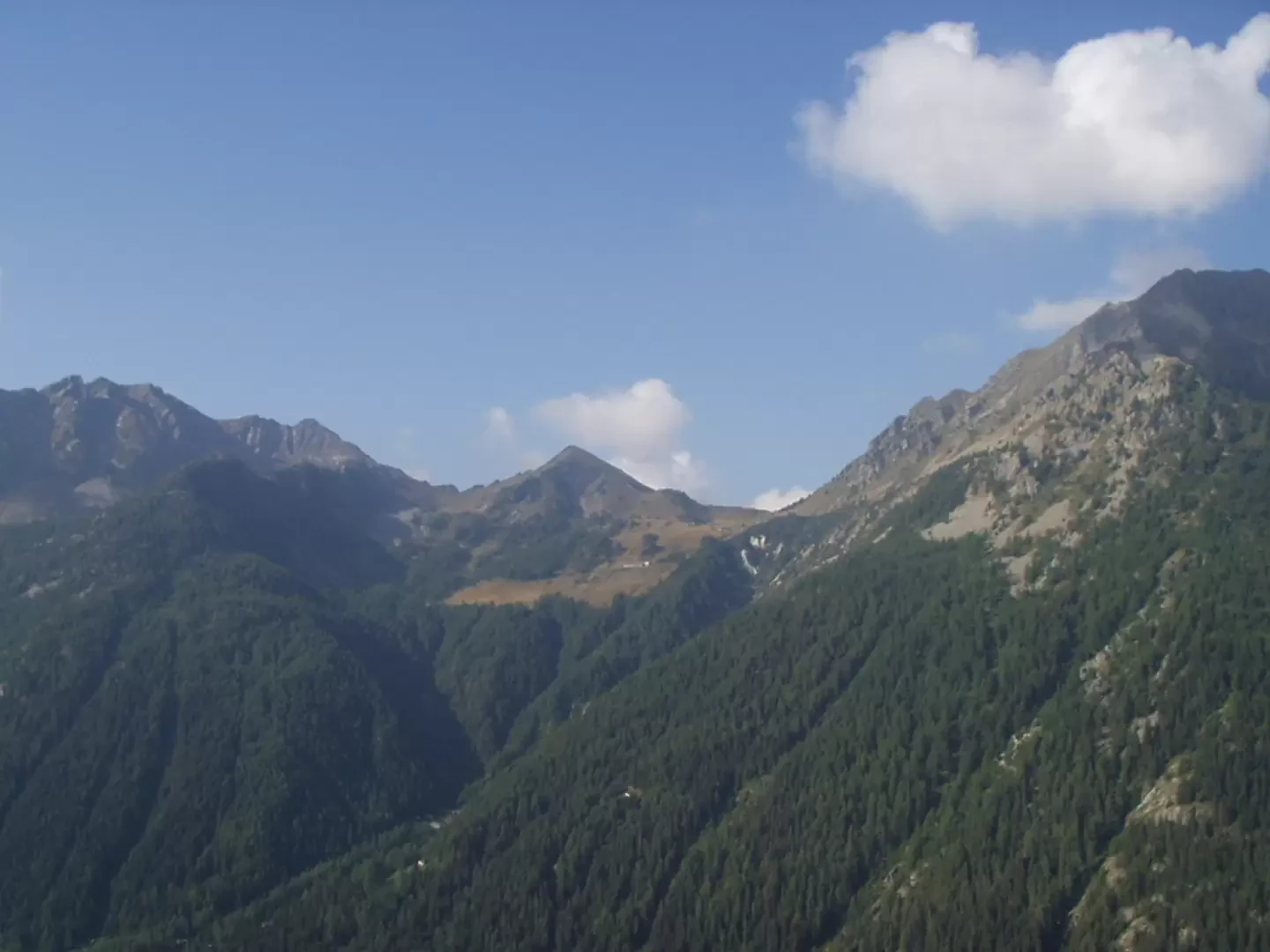
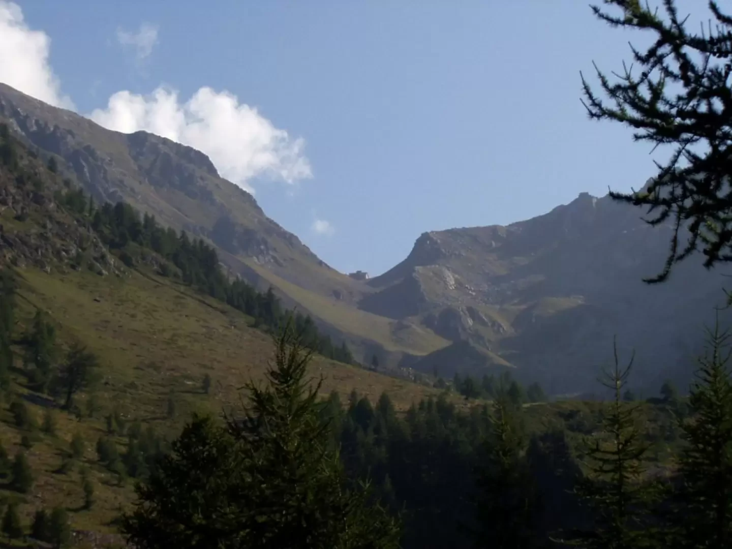
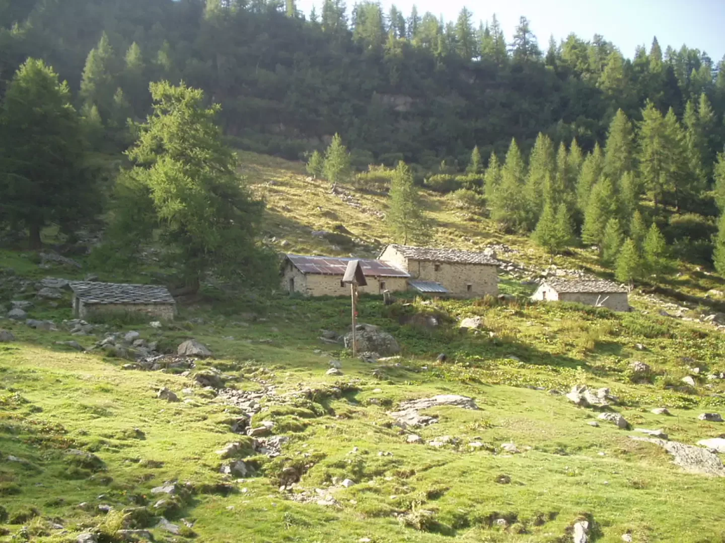
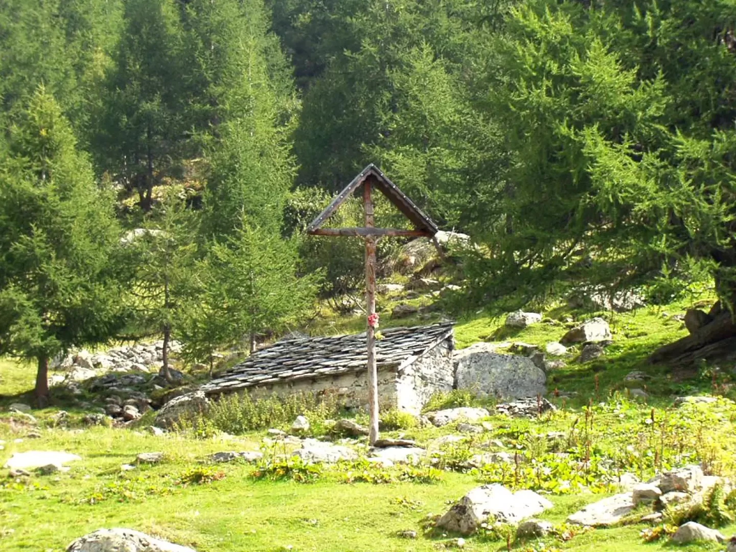
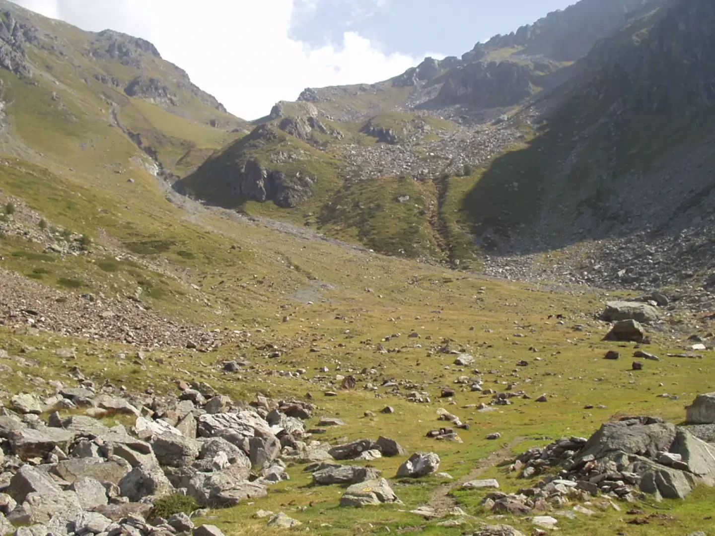
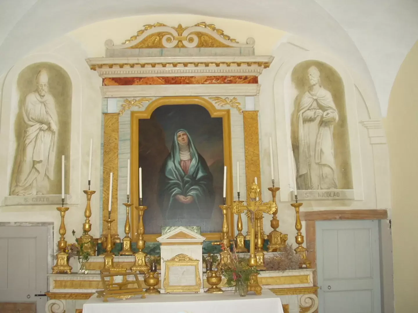
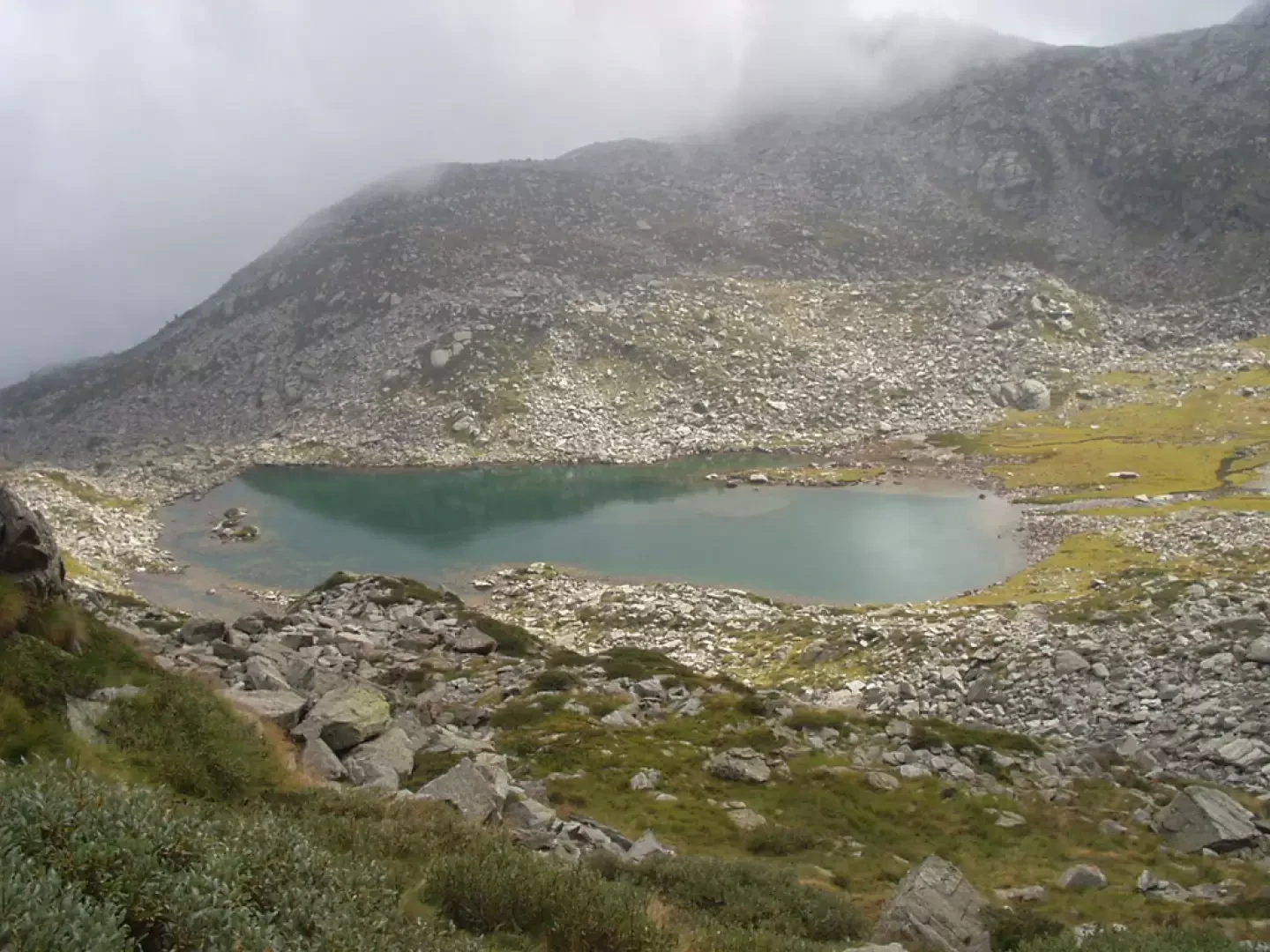
With a route parallel to the valley that descends from Colle Valdobbia, amidst some bogs and with a moderate gradient, you come out onto the pastures, now within sight of the Ospizio Sottile hut. A few more minutes and you reach Alpe Cialfrezzo di sotto (1900m, 1h10'), preceded by a beautiful wooden crucifix. The path proceeds into the valley, crosses the stream on a wooden bridge and reaches the grassy balcony of Alpe Cialfrezzo di sopra (or Alpe Valdobbia) (2032m, 1h35'), surrounded upstream by two walls acting as avalanche barriers. Climb up between meadows and a few stones, past a ruin and out onto a bucolic plateau, where it is very common to see marmots. Keeping to the left, go up the grassy slope, cross a gully to the right, go over two modest elevations and, amidst pastures and scree, reach the Ospizio Sottile hut (2480m, 2h45'), near the Valdobbia pass. The hut is very characteristic and worth observing carefully: above the entrance is a bell; the right wing, towards the Piedmontese side, houses a small church; on the roof, towards the Valle d'Aosta side, the observation tower is visible; to the right, above the entrance to the small church, and to the left, above the window, are two niches. There is also a drinking fountain on the west wall. To complete the hike, we recommend a visit to the Balma Lake (2302m, approx. 40' total round trip). The trail starts from the pass in a south-easterly direction, signposted 1C, signs for Lago della Balma and Alpe Larecchio, climbs briefly diagonally and then descends through grass and scree towards the lake. The descent from the hut is by the same route. We descend to Alpe Cialfrezzo di sopra (or Alpe Valdobbia) (2032m, 0h45'), proceed to Alpe Cialfrezzo di sotto (1900m, 1h05') and descend through the woods to Valdobbia (Verdebiô) (1327m, 2h10').
Splendida giornata settembrina con salita al rifugio nel suo ultimo giorno di apertura estiva.
Salita al rifugio in 2h30' con successiva digressione alla Valle dei Principi.
Bella escursione su sentiero sempre ben segnato che sale al colle Valdobbia ove sorgelo storico rifugio dell'Ospizio Sottile.
Avvistamenti floristici: Genziane, genzianelle
Bella escursione su sentiero sempre ben segnato che sale al colle Valdobbia ove sorgelo storico rifugio dell'Ospizio Sottile.
Avvistamenti floristici: Genziane, genzianelle
Splendida giornata settembrina con salita al rifugio nel suo ultimo giorno di apertura estiva.
Salita al rifugio in 2h30' con successiva digressione alla Valle dei Principi.


Comments (0)
Sign in to leave a comment