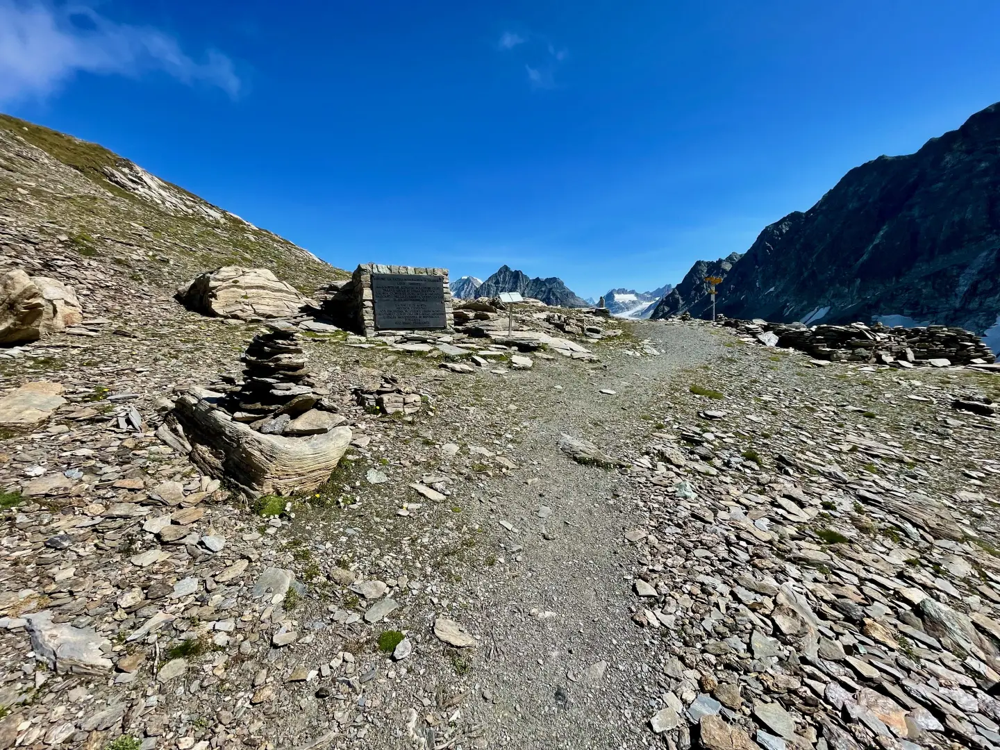
Fenêtre Durand, from the Glassier car park

Access
Leave the motorway at the Aosta Est barrier, turn right and take the dual carriageway, to be followed for 8.4 kilometres. At the tunnel exit, after 130 metres, turn slightly right to take the regional road to Bionaz. At the roundabout, take the second exit and continue along the regional road, passing the villages of Signayes and Rhins, and the village of Valpelline. After 16.9 kilometres, turn left and take the regional road to Ollomont. Drive up the regional road, passing through the main town of Ollomont and the villages of Voueces and Vaud, until you reach Glassier after 23.8 kilometres. Just before the village, on the left-hand side, there is a free car park 🅿️ with a charging station for electric vehicles.
Distance and journey time
🕒Travel time: 29 minutes
📏 Distance: 23.8 km
GPS navigation
📍 How to get there with Google Maps
📍 How to get there with Apple Maps
Important note
The directions provided were verified on the date the route was surveyed. Before departure, it is advisable to check for any changes to the route. For up-to-date and detailed directions, we recommend the use of Google Maps or Apple Maps.
.Description
0h00' Leaving the car, you will come to a series of signposts: follow the signs for path to the Fenêtre Durand. Walk up a pleasant grassy track bordered, in the first section, by a wooden railing and then by a splendid dry stone wall. After a few twists and turns, go over a hump before reaching the characteristic alpine pastureland of Pont (1681m, 0h15') with its peculiar aqueduct supported by stone columns.
After the aqueduct, cross two streams on convenient little bridges and start climbing up the beautiful mule track again. With a series of twists and turns, you gain height without too much effort, leaving the cottages of Crottes (1738m) to the right.
You cross a sparse band of larch trees, which offers interesting views of the Grivola. Coming out of the wooded belt, proceed with a level stretch to the left and then resume the climb until reaching a farm track just below Farinet. Take the track to the left for a few metres and then turn right onto another track that soon leads to the trailhead. Turn right and proceed on the ascending half-steep track that joins the farm track again in a few minutes. Follow the track to the right and, after a short descent, reach the group of cottages that make up Balme di Bal (2130m, ). Once in the village, pass a couple of hairpin bends before taking the path to the left. Follow the wide path up the meadowy slope until it crosses the track again; continue now as the scenery widens and the elegant pyramid of Mont Gelé appears for the first time. The path crosses a hollow with a long, almost flat stretch until reaching a small ford: from here, with a slight turn to the right, you enter a small depression that precedes the Lombardin pastureland (2309m). At the height of the alpine pasture, take the dirt road again and follow it as far as the next alpine pasture of Thoules (2381m, ) where you will come to a new marker. Take the path on the left that initially runs alongside the bed of a stream until reaching a wide flat stretch in the presence of Mont Avril. At the end of the plateau, the final ascent towards the pass begins; in the initial stretch, follow long bends that allow you to overcome a first step of glacial origin. Once past the first step, you enter a more austere environment, the vegetation slowly disappearing as you reach the crystal-clear Lake Fenêtre (2709m). The trail continues to the left of the lake, climbing up the scree slope halfway up the mountainside until reaching some bumps before the Fenêtre Durand (2805m, 3h45').