Leave the motorway junction at Châtillon-Saint-Vincent, turn left and continue for 300 metres to the roundabout. Take the third exit onto Via Émile Chanoux and follow it for 600 metres through the historic centre of Châtillon. Turn slightly right onto Via Menabreaz and continue for 450 metres to the roundabout with the Matterhorn monument in the centre. Take the second exit and enter the Regional Road in the direction of Valtournenche. Continue on for 7.8 km until Antey-Saint-André, where you will come to the junction with Regional Road for Torgnon. Turn left and climb up the road for 6.4 km until you reach the main town of Mognod. Continue straight on, following the signs for the ski lifts. After 400 metres, at a hairpin bend to the left, turn right onto the municipal road, following the signs for Petit Monde, Triatel and Etirol. Continue along the narrow road until you reach the village of Triatel and finally that of Etirol, where there is a small car park 🅿️ near the village. If the car park is full, it is possible to turn around and park in some of the open spaces along the road.
To reach the starting point of the route, private transport is indispensable, as it is not served by public transport.
The information provided was checked on the date of the route survey. Before departure, it is advisable to check for any changes to the route. For up-to-date and detailed directions, we recommend the use of Google Maps or Apple Maps.
Introduction
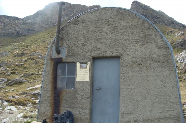
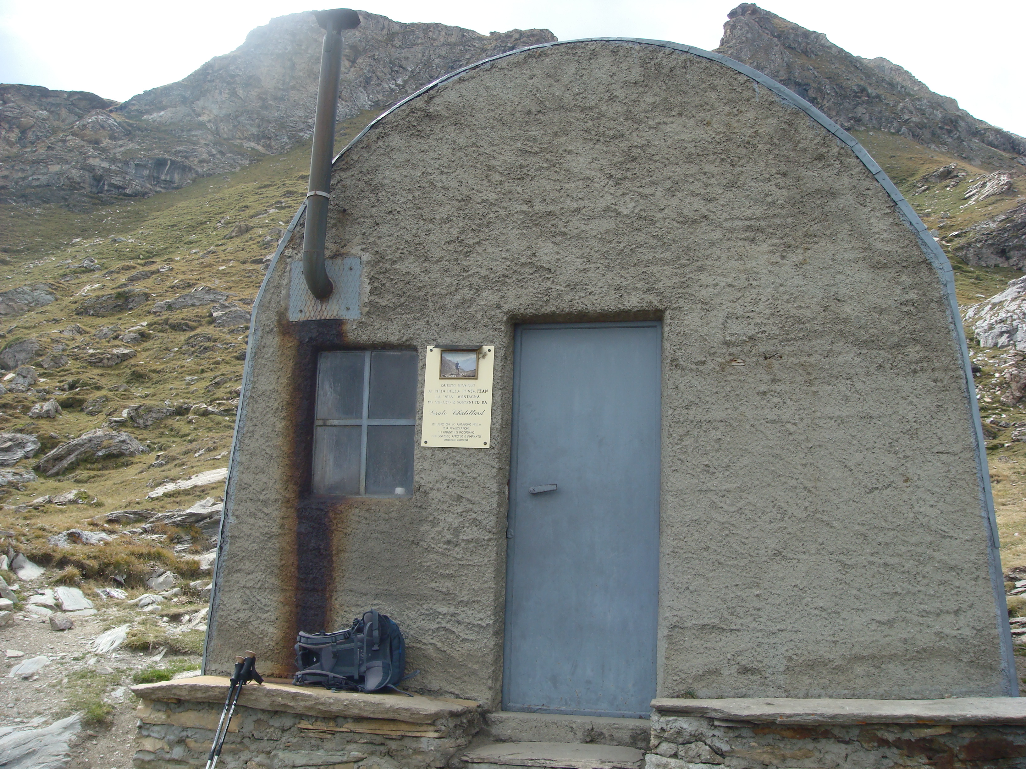
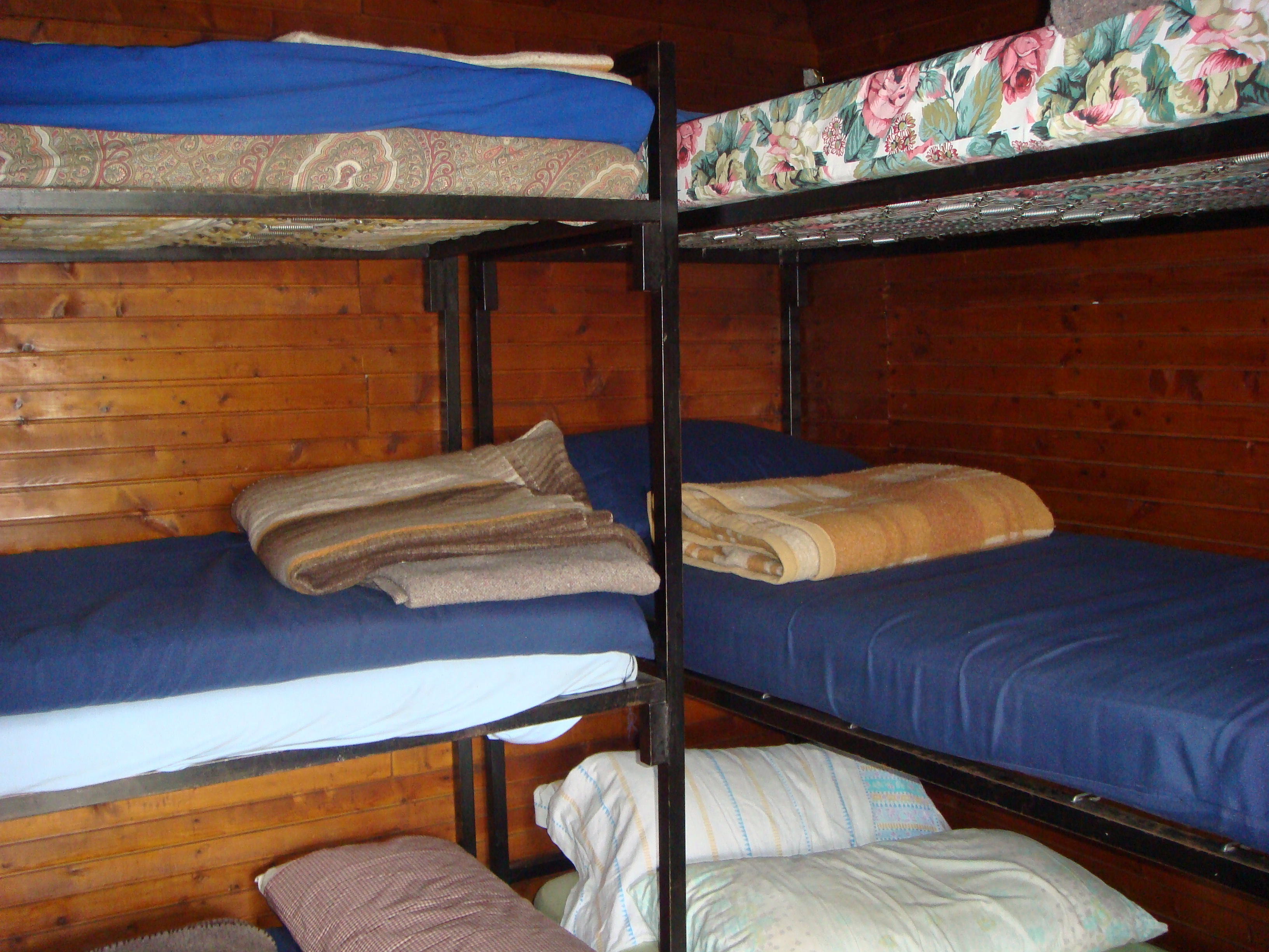
The Tsan Bivouac (2,469 m) is located on the edge of the Comba de Chavacour, just above the glacial lake of the same name, in a lonely and picturesque setting. It is a small, wood-clad tin structure, always open, offering spartan shelter but a first-class panorama towards Tsan Point. The itinerary starts from the village of Étirol and crosses a mosaic of landscapes: ancient rascards, larch forests, alpine pastures and wetlands of natural interest, such as the Loditor plateau. The climb does not present any technical difficulties but requires good training due to the overall length.
.
Description
0h00'0.00km0h00'
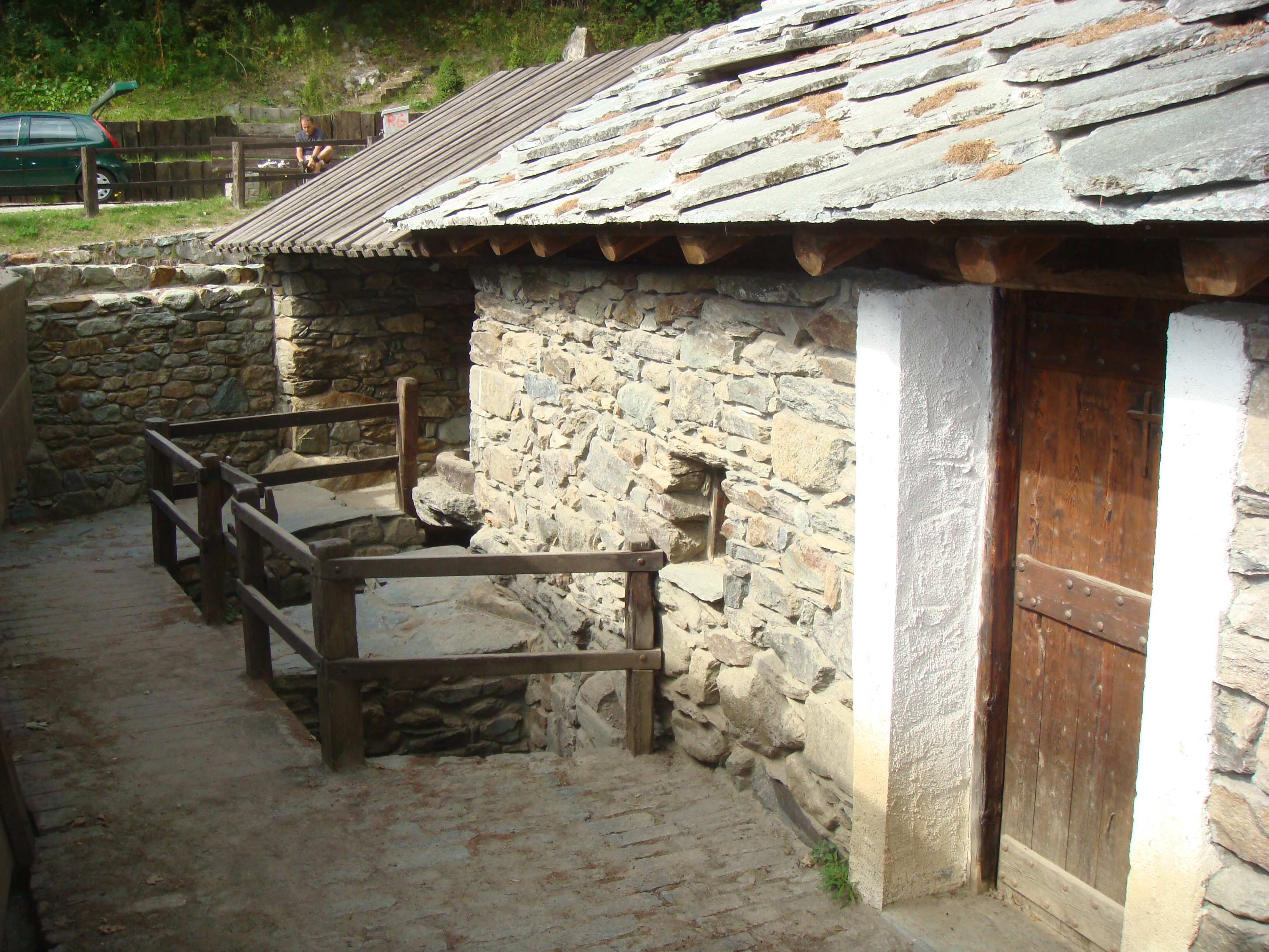
From the car park, near which there is a drinking fountain (💧), go straight on in a south-easterly direction towards Etirol (1,598m) and a beautiful maple tree (Acer platanoides). When you reach the first houses, turn left, then right and left again through the village. Past the last house, cross the farm road and continue along the old paved mule track that enters the forest in a north-westerly direction. After a few minutes' walk, an old collapsed rascard is encountered. Continue slightly uphill into the forest, which is coloured in autumn with beautiful yellow hues. The path then crosses a small stream and becomes slightly steeper until it meets the farm road again. Follow it as far as the ruins of the old Levaz Dessous pastureland (1,677m), where the road ends and the trail picks up again. Continue almost level along the path, which bends slightly to the right as it enters the Petit Monde valley. At an altitude of 1,690m, you will come to the junction of the path .
0h20'0.76km
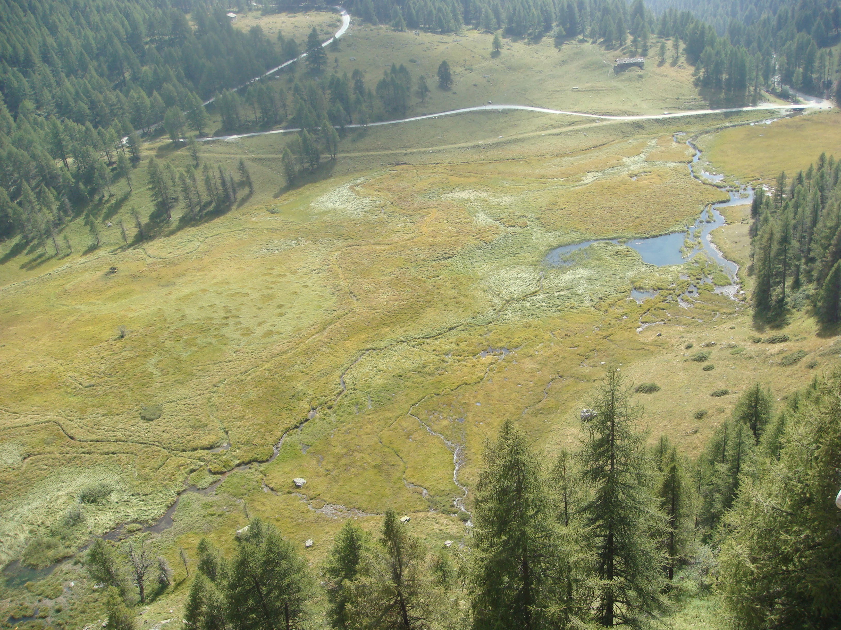
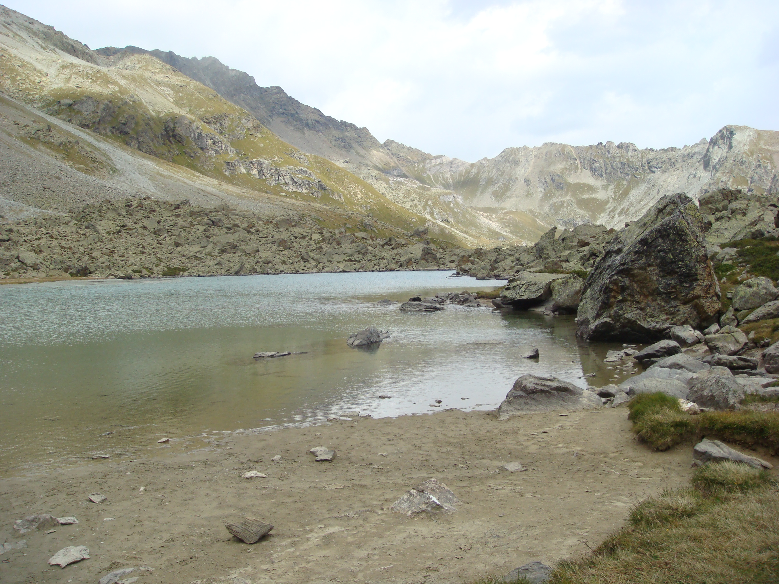
Neglect the path on the left and continue straight on along the marked incline, keeping the stream on your left and crossing the cool larch forest (Larix decidua). The slope increases as the stream forms a small but lush waterfall, visible among the branches of the larches. Almost at the end of the ascent, cross a stream; a little further on, the slope eases, the forest thins out and makes way for the Tsantsevellà pastures. The path bends slightly to the left, offering a view to the right of the ruins of the old Tsantsevellà pastureland (a little further up is a modern stable, used for cattle during the summer). After passing another small stream, you will come across a boundary stone with markers relating to the stretch travelled. Continue straight on towards the Petit Monde stream's impluvium: the path, which is quite wide, runs alongside the stream and is flanked by imposing larches, until it joins the pleasant basin at the foot of Betsoloz, embellished by a small pond reflecting the Punta Tsan (1.861m).
1h00'1.90km Turn left and climb up the farm road, which, with a couple of hairpin bends, leads to the Betsoloz mountain pasture (1,895m). Shortly after the alpine pasture, take a level path that, in a few minutes, leads to the dirt road above. Take the road to the right and follow it slightly uphill, crossing the pastures of the Tsanté de Guerraz pasture, until you reach the Loditor plateau (1,919m) and a crossroads signposted by a small signpost.
1h30'3.65km
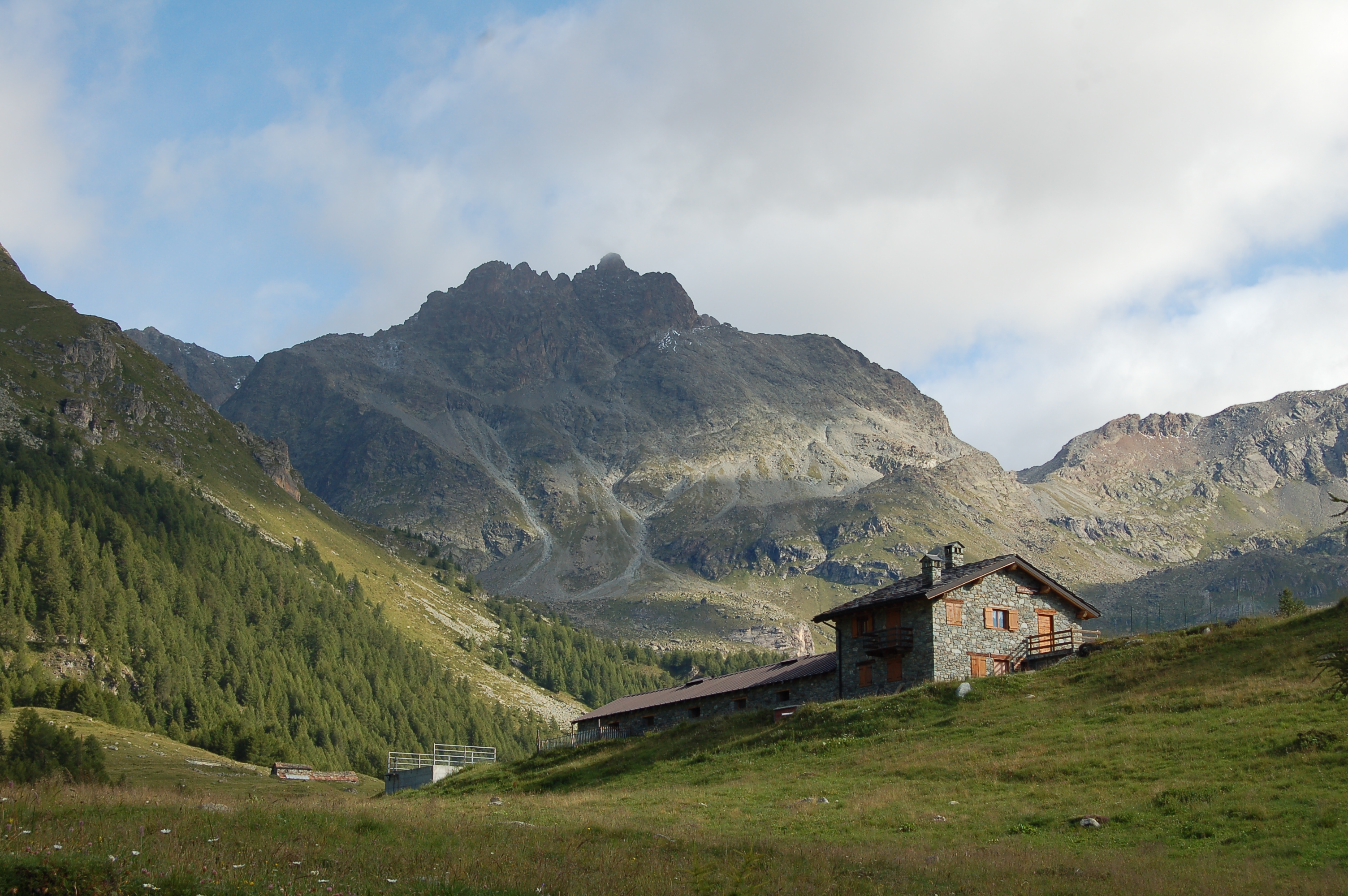
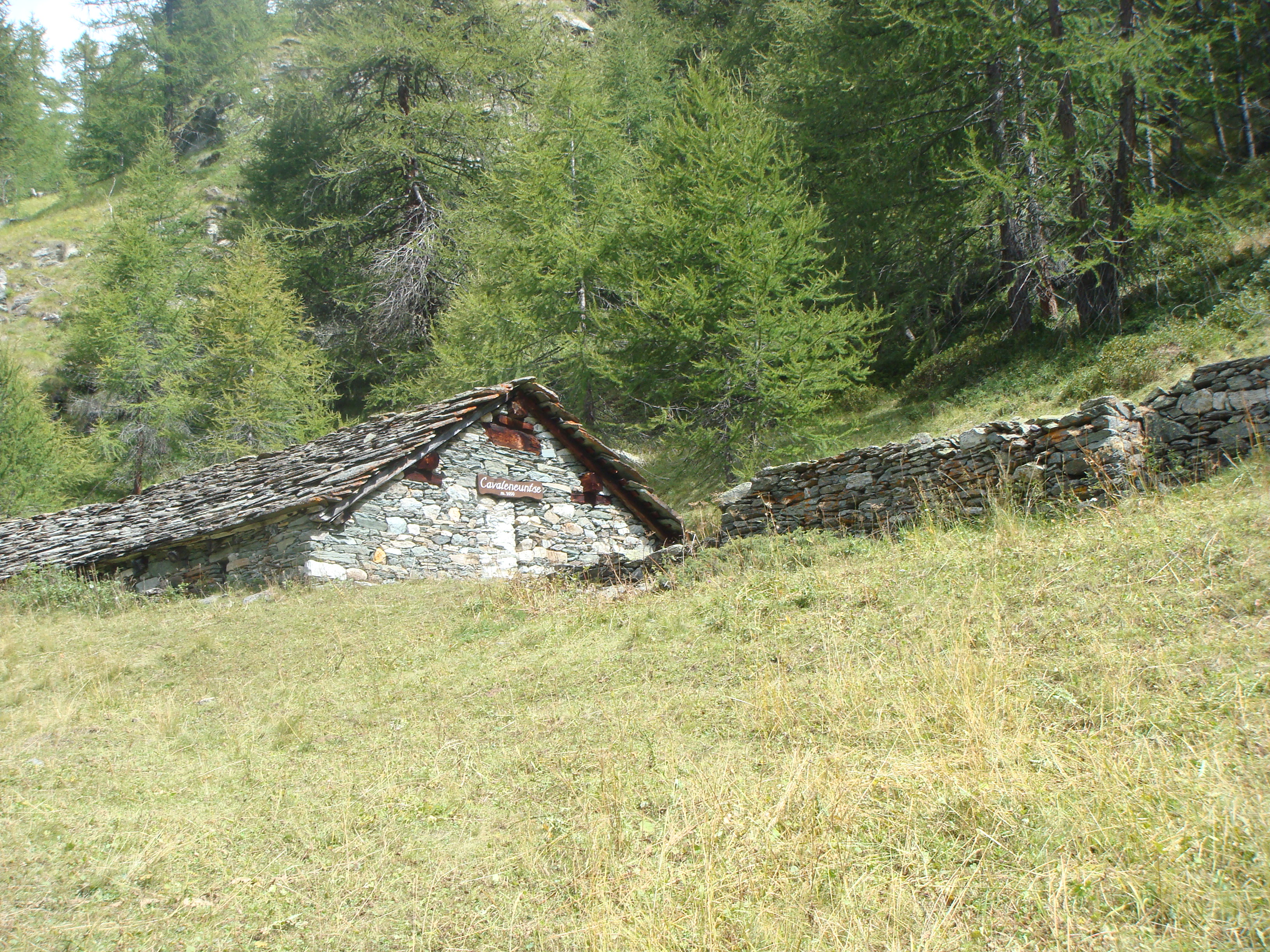
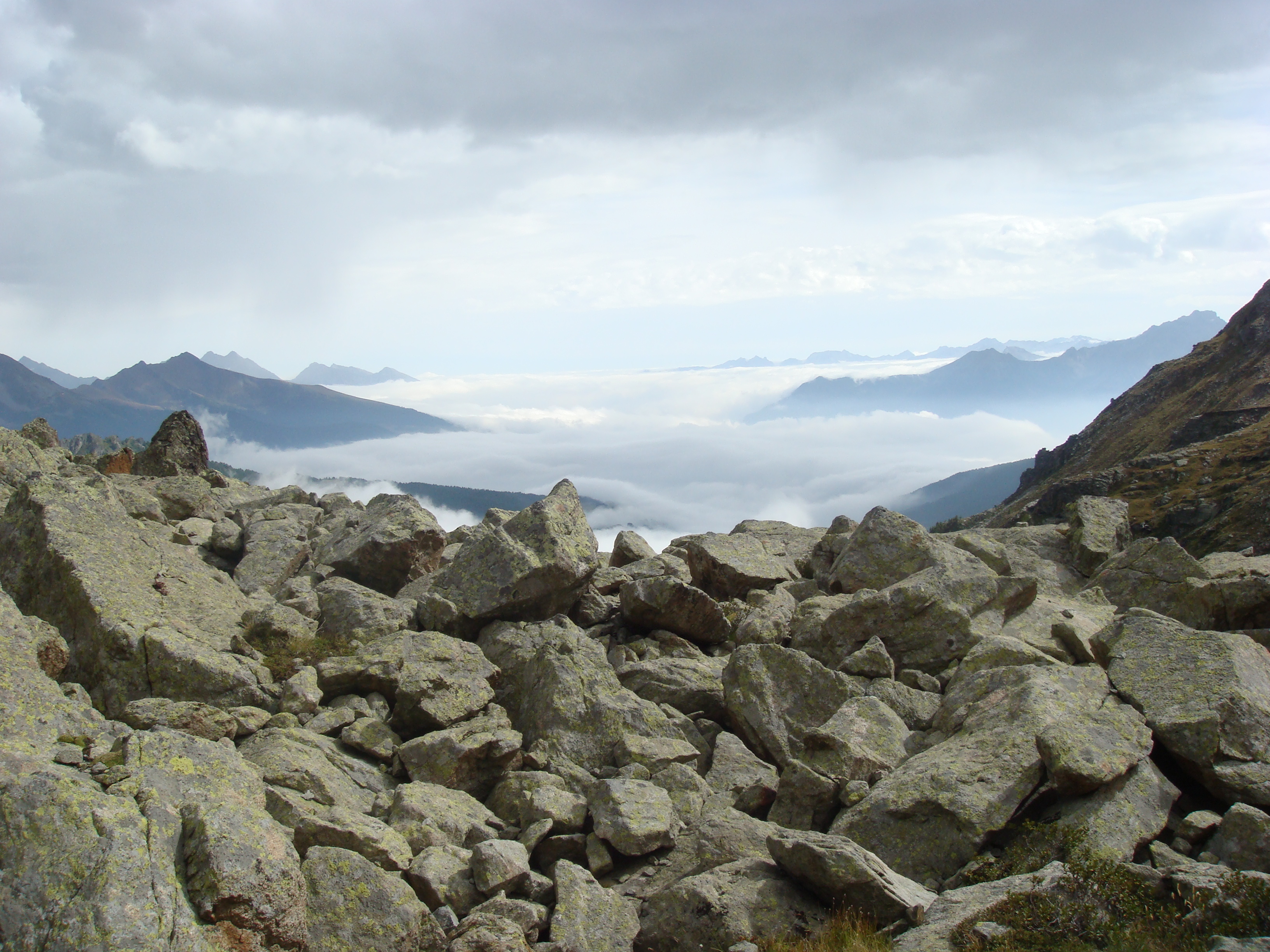
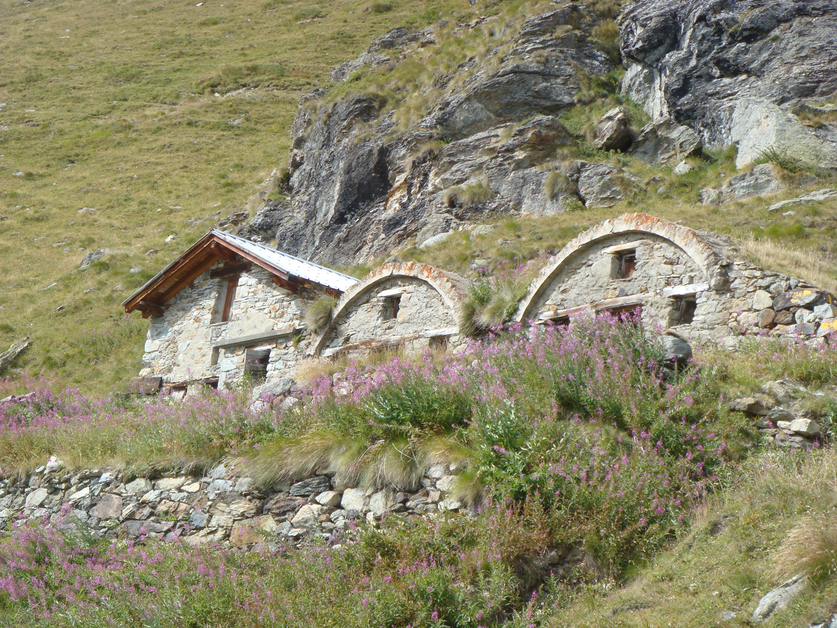
Turn right and take a small path that winds its way up the grassy slope through a sparse forest. With a few short turns, the track quickly gains height and leads to a panoramic promontory from which the morphology of the Loditor plateau can be clearly observed. Continue in a northerly direction, entering a small open basin where the remains of an old lime kiln can be seen and, on the right-hand edge, the Cavaleneuntse pastureland (2,050m). From here, re-enter the forest and cross a small pass, from where the ruins of the old Chavacour hospice (2,058m) can be seen. After a short climb, you reach the Château pastureland (2,087m). Take the farm road again for a short distance, then turn left again until you reach the ruins of the Crot du Loup (2,158m)
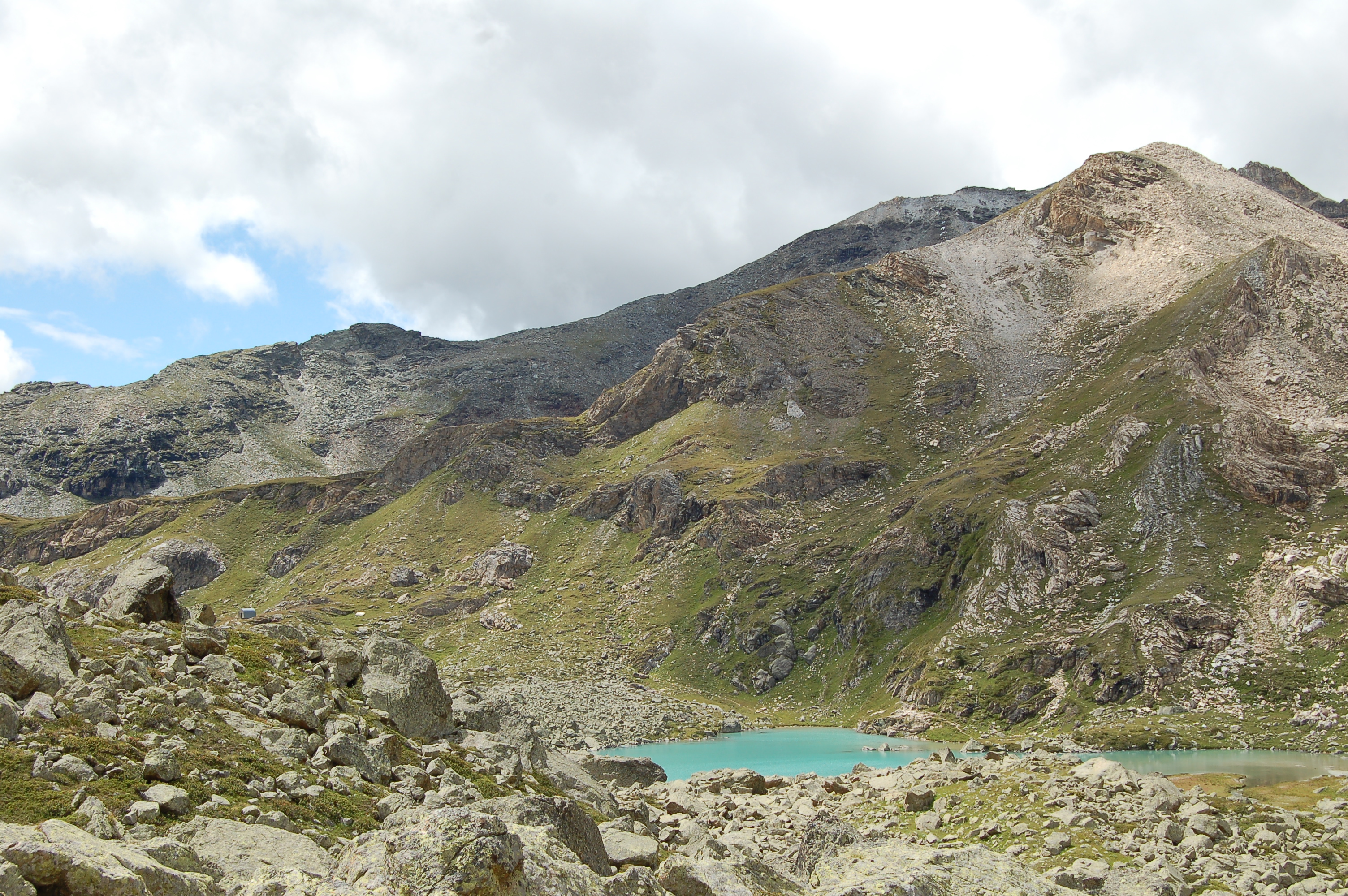
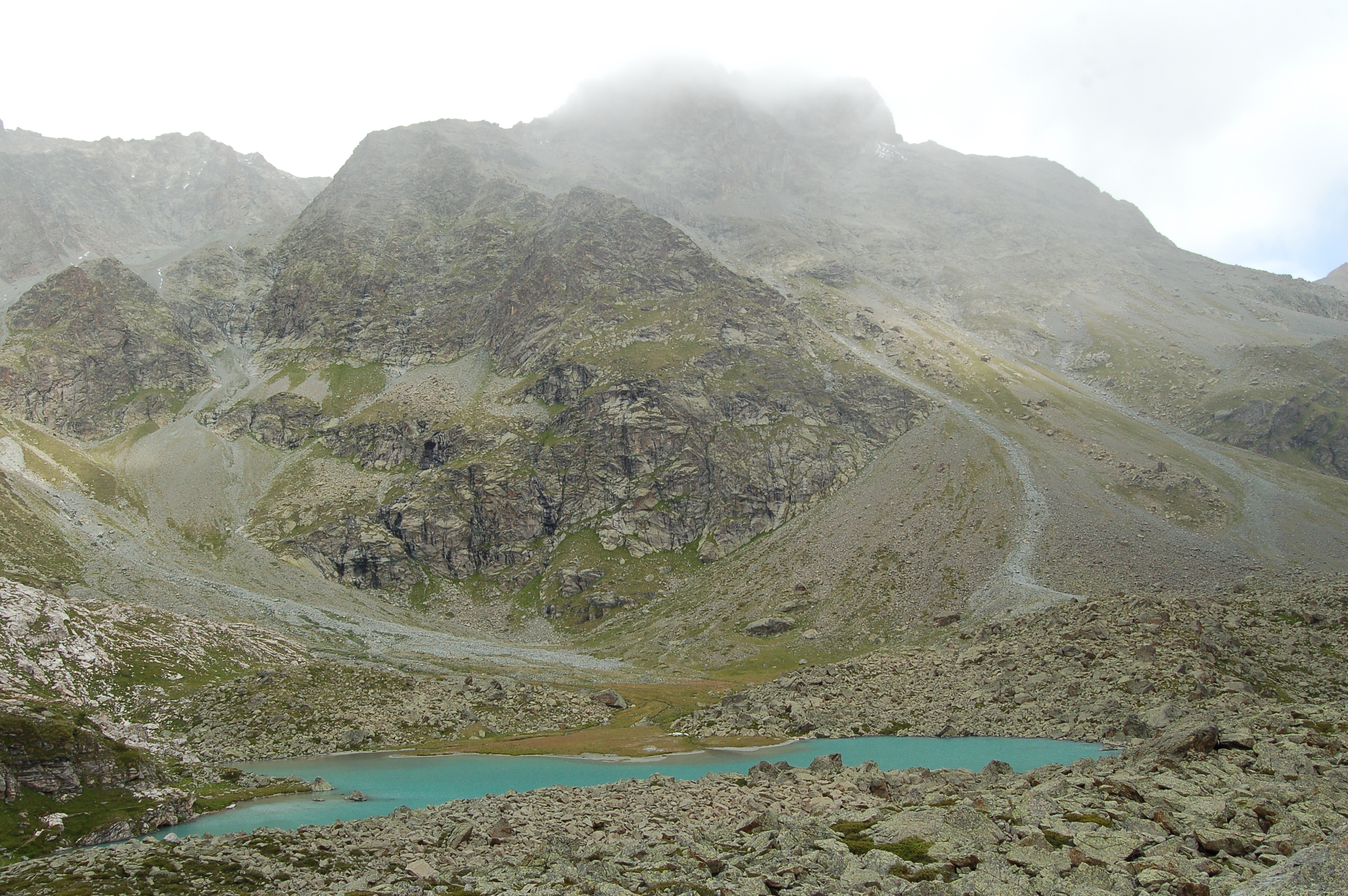
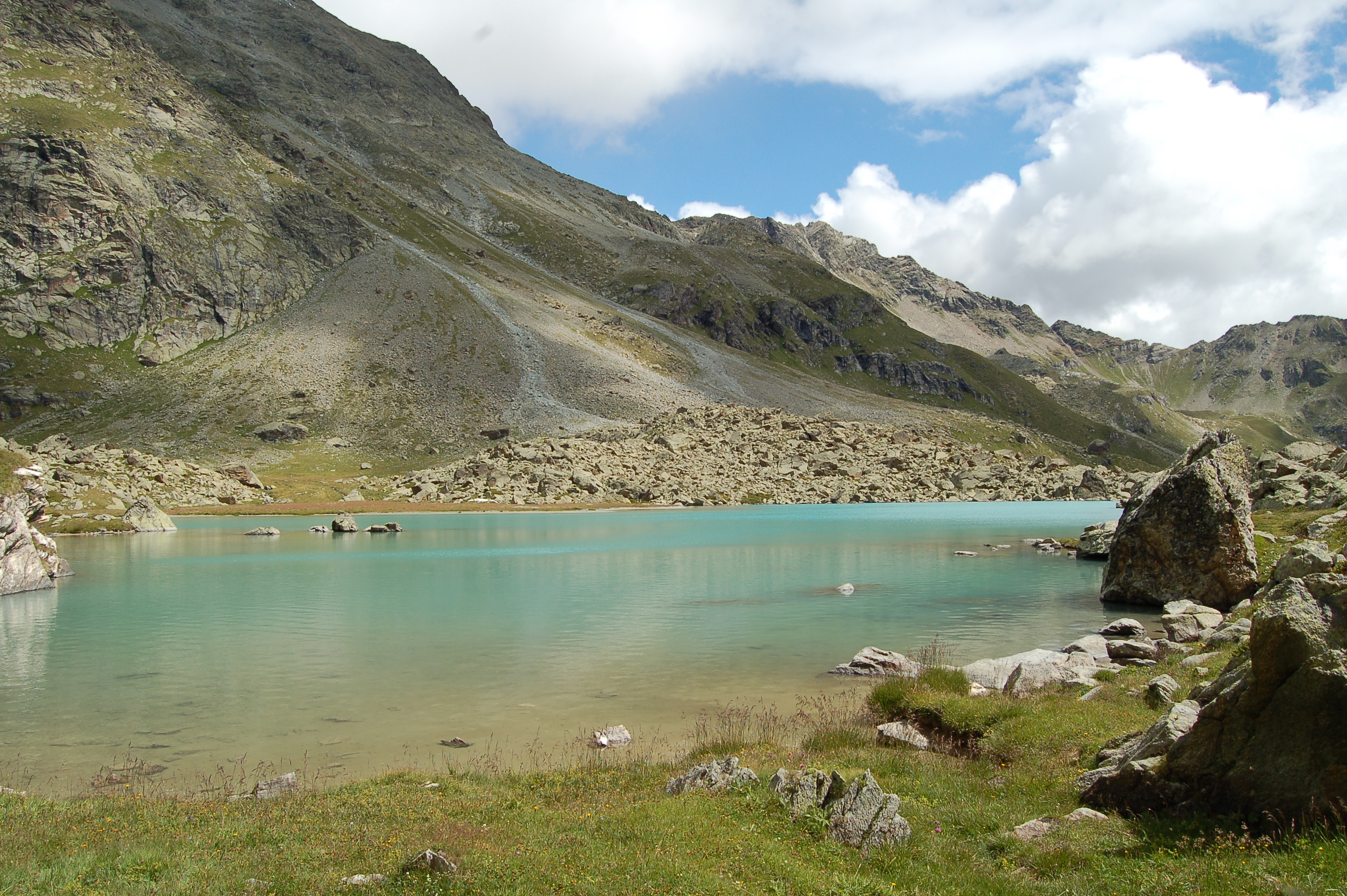
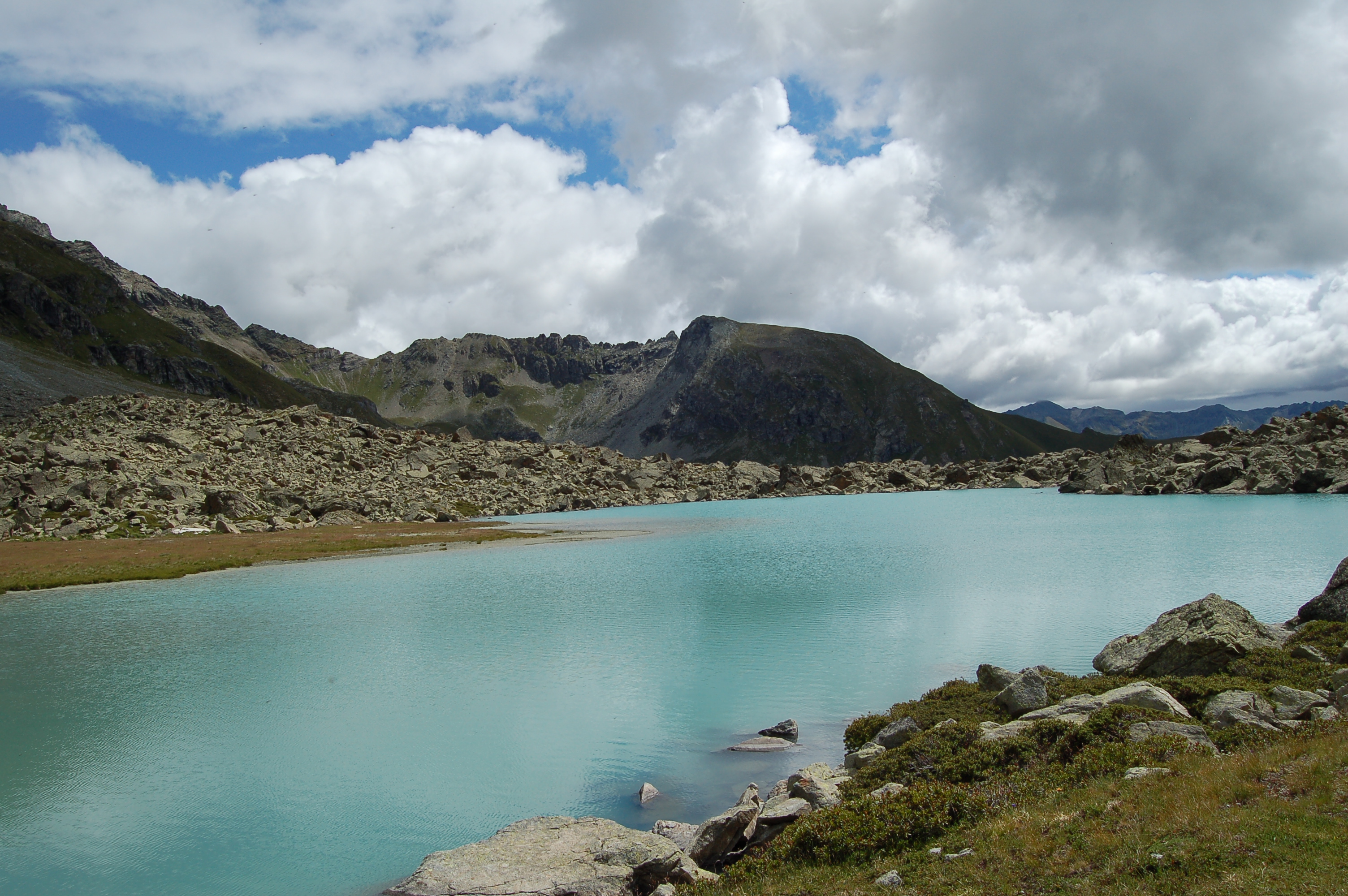
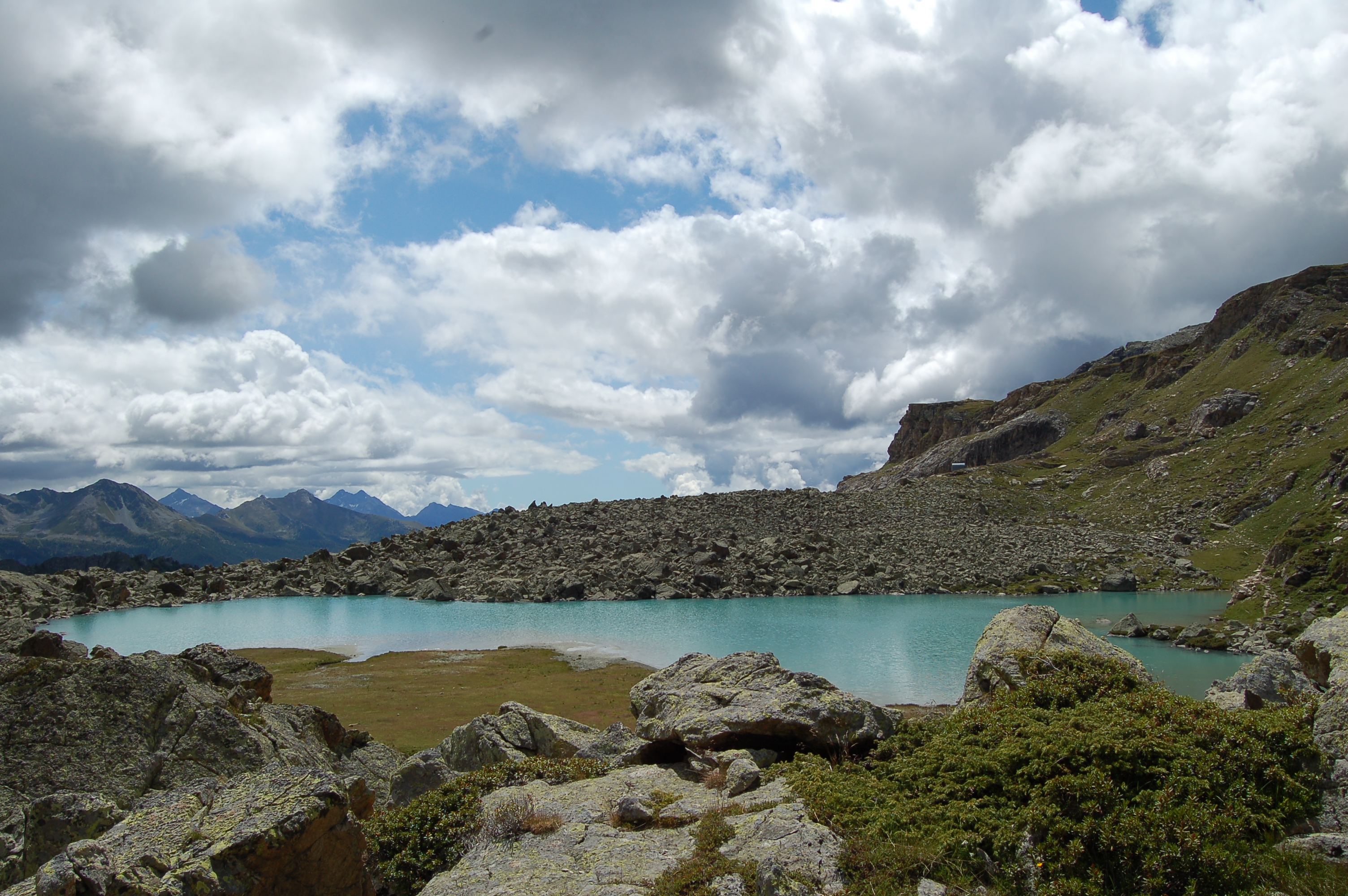
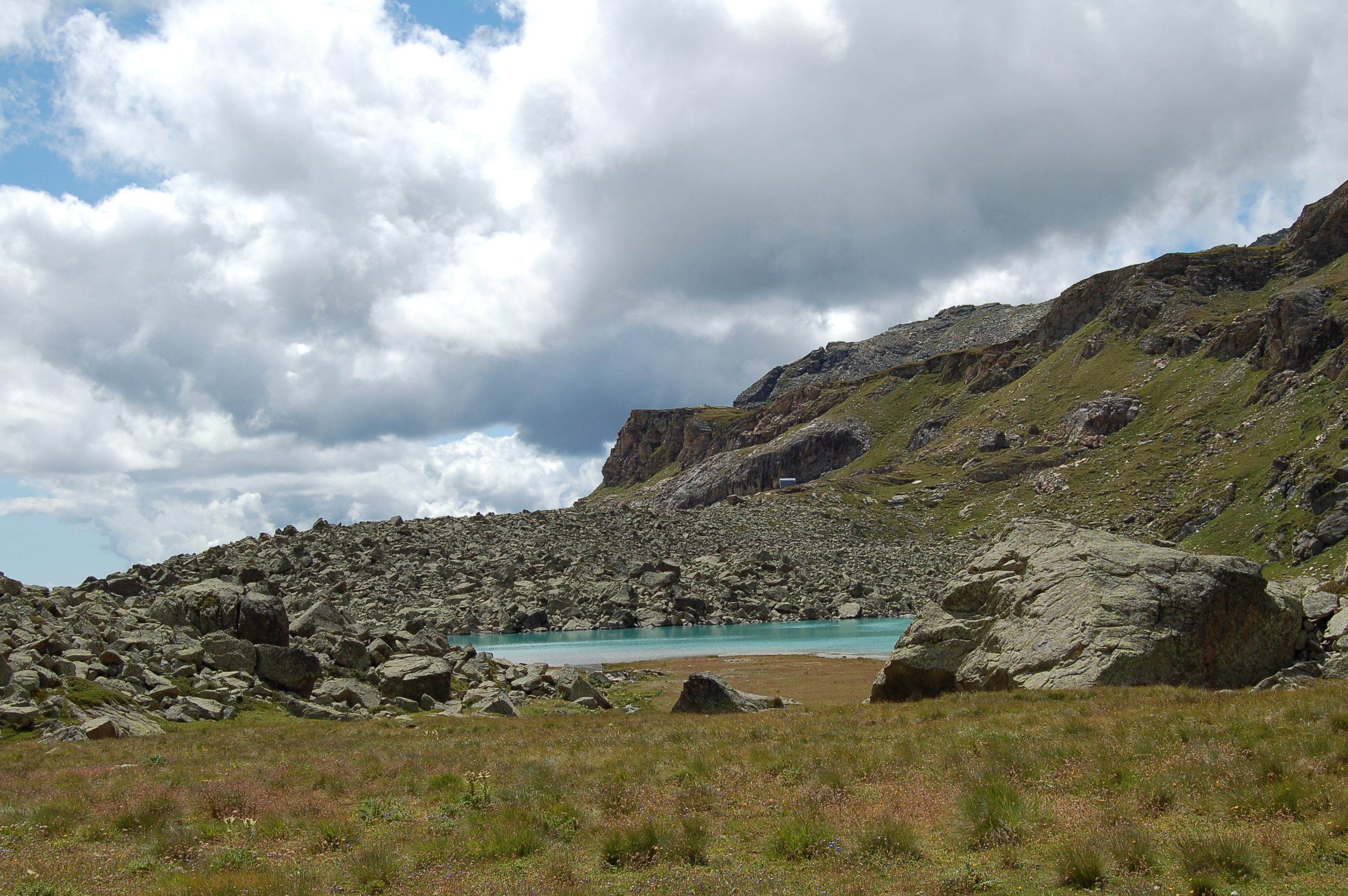
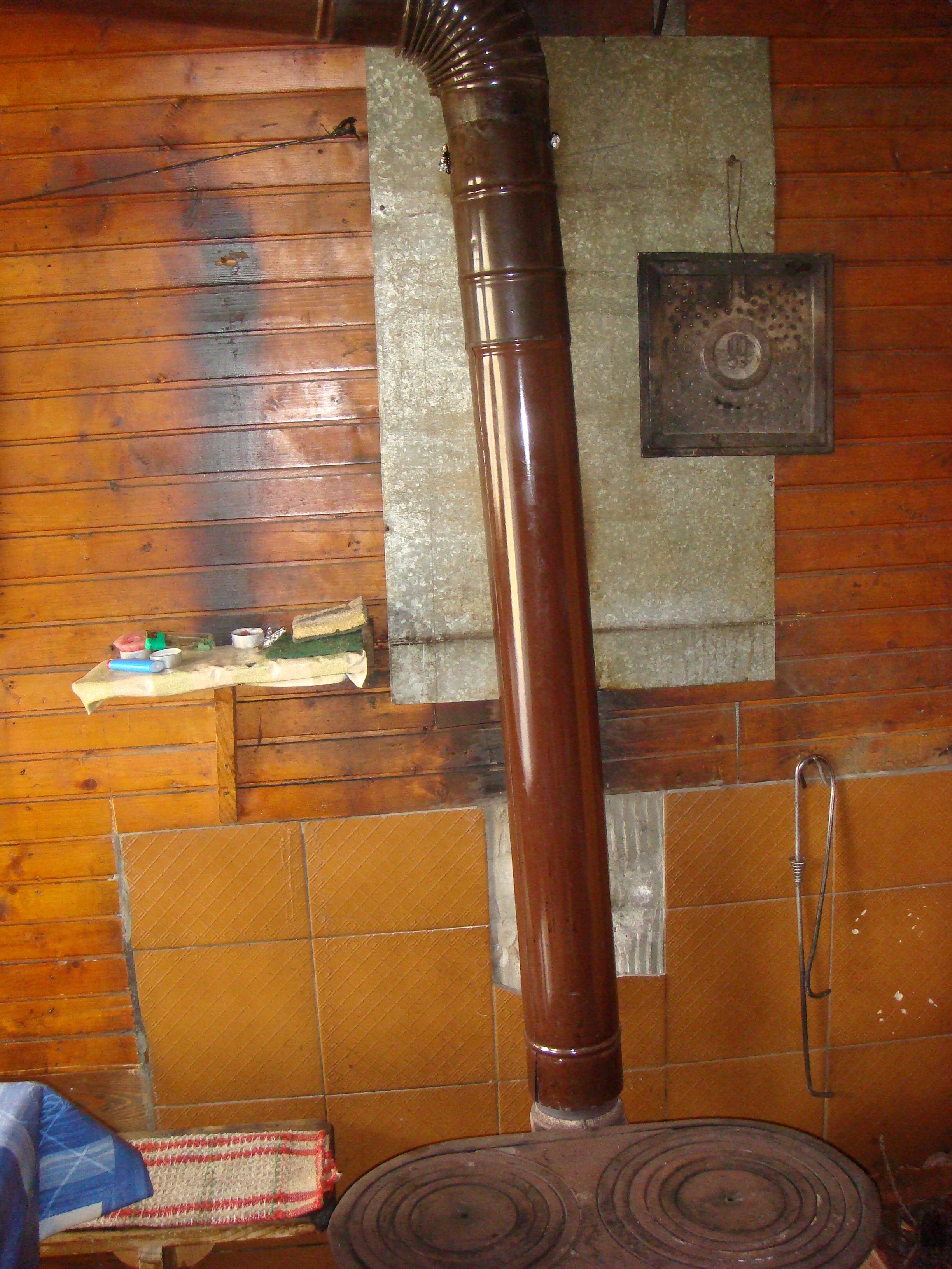
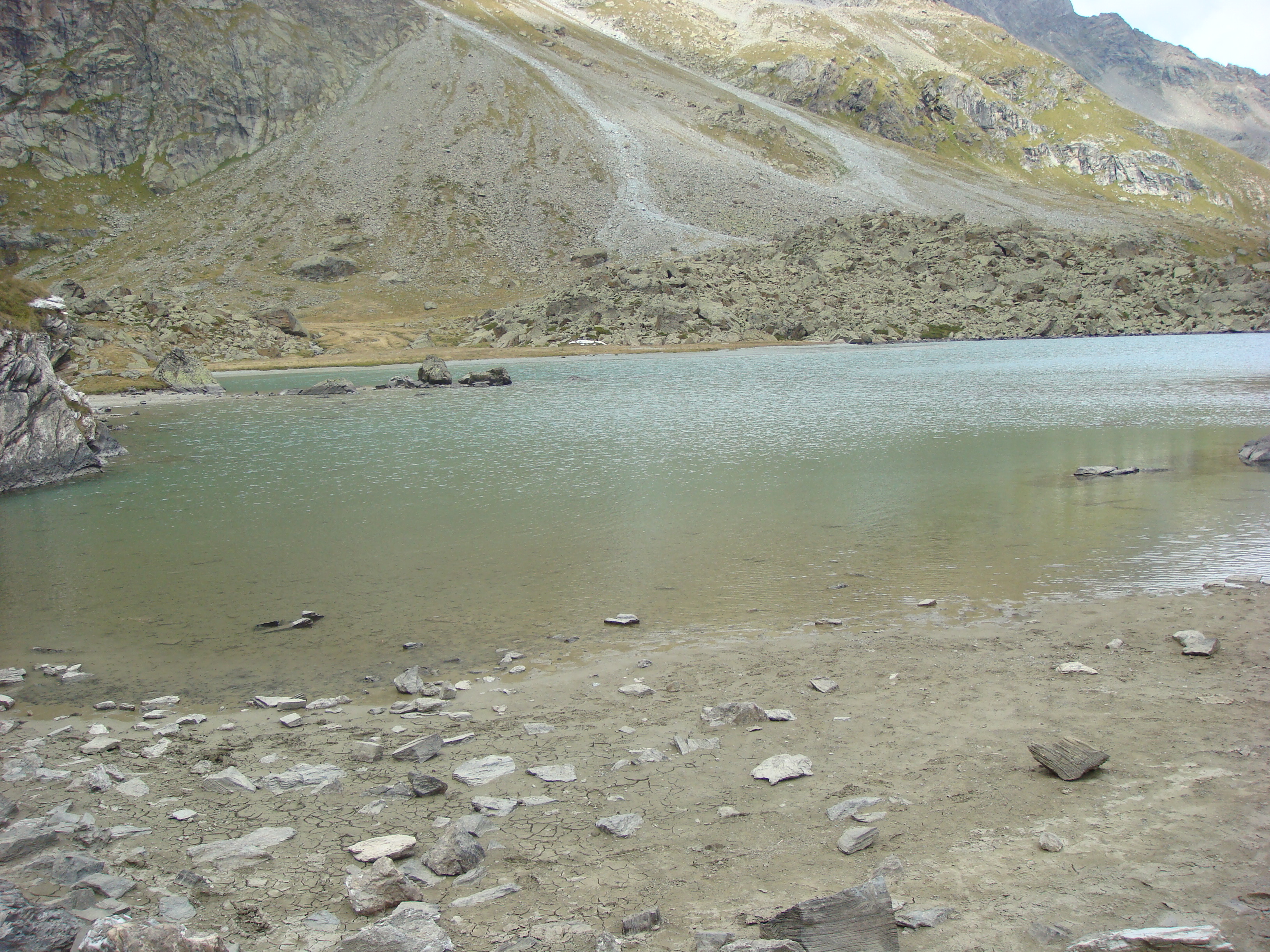
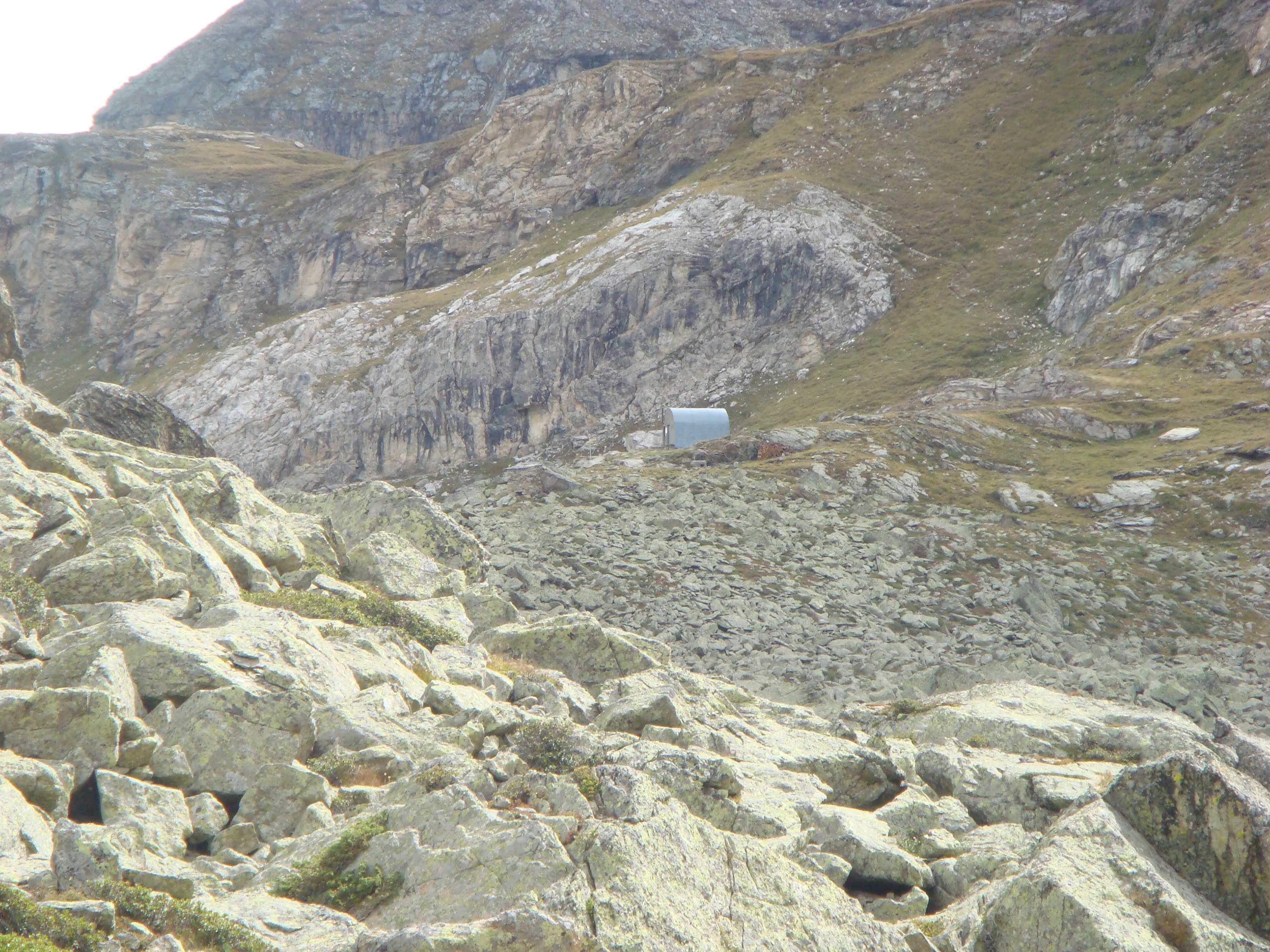
The path climbs upwards, always well signposted, and at the fork at 2,430m, leave trail no. 3 behind and continue to the right to the Tsan bivouac. The bivouac is a construction that is wood-clad inside and sheet metal outside and is in a privileged position that offers a great panorama. Behind the bivouac is the blue-water Tsan glacial lake.
Giornata con alternanza tra maltempo e un pò di sole. Arrivo al Bivacco sotto la pioggia. Dopo una schiarita, sceso in compagnia di tre persone simpatiche di Torgnon con gradito passaggio in macchina per l'ultimo tratto.
Si va in macchina fino ad Etirol. Nell'abitato non c'e' parcheggio (forse solo per un paio di macchine, il resto e' privato) ma si puo' parcheggiare piu' giu' a Moulin oppure dove parte il sentiero nr 105.
Da Etirol si passa tra le case e si svolta a sinistra sul sentiero 107 che sale tra i prati e poi, abbastanza in piano, passa di fianco al Torrente Petit Monde.
Il sentiero 105 si immette nel 107 passando sopra un ponte. Si continua dapprima in piano, poi in salita fino ad arrivare a pascoli aperti dove si trova l'indicazione su un sasso che ci indica di salire fino ad arrivare ad una strada in vicinanza a un'alpeggio da poco rifatto.
Si prosegue sulla strada voltando a sinistra sino ad arrivare all'alpe di Betsoloz unable to parseietro la quale sale in sentiero numero 1 che si segue fino in fondo. Ad un pianoro il sentiero scende, attraversa il fiume su di un ponte di legno e si riconguinge ad una strada dove si volta a sinistra.
Siamo al Piano di Loditor.
Il sentiero prosegue sulla destra unable to parse sale per il bosco fino ad arrivare ad un punto panoramico dove si ha una magnifica vista sul Loditor e la vallata sottostante.
Passato un Cavaleneuntse a quota 2050 si arriva ad un vecchio forno a calce e si prosegue dritti sul sentiero ora segnato come numero 5 e si passa davanti ai ruderi dell'Hospice de Chavacour, un antico punto di sosta per i viaggiatori diretti verso la Valpelline e poi la Svizzera (da qui i valichi sono piu' semplici che non passare dal Cervino).
Il passaggio venne abbandonato dopo che una mini era glaciale tra il XV e il XVIII secolo lo resero inaccessibile.
Al bell'alpeggio Chateau si prende la poderale e dopo poco si vedono le palline che indicano la svolta a sinistra per il Bivacco e per Cime Bianche (sentieri 3 e 4).
Il sentiero sale sempre ben segnalato, e al bivio a 2430m si tralascia il sentiero nr 3 e si prosegue verso destra per il Bivacco Tsan.
Il bivacco e' una costruzione internamente rivestita in legno e fuori in lamiera ed e' in posizione privilegiata che offre un grande panorama.
Dietro il Bivacco si trova il lago glaciale Tsan dalle acque blu.
Dal bivacco si prosegue sul sentiero nr 4, si passa di fianco al lago e, all'incrocio con l'Alta Via nr 1 si prende a destra verso il Rifugio Barmasse.
Il sentiero passa comodamente attraverso grandi massi, poi su pascoli scende sino all'alpe Grand Raye unable to parsea dove nuove segnalazioni indicano chiaramente il sentiero nr 5 che ci riportera' all'alpeggio di Chateau da dove si riprende il sentiero dell'andata.
Avendo lasciato la macchina a Moulin, all'incrocio 105/107 abbiamo deciso di prendere quest'ultimo. E' un bellissimo sentiero che passa in mezzo ai boschi dapprima costeggiando il fiume, poi riportandosi piu' a destra fino ad arrivare alla strada.
Da li' a Moulin sono circa 5/10 minuti.
Partiti da Etirol sul sentiero 107 siamo arrivati al Loditor attraverso il percorso n. 10. Da qui abbiamo proseguito come da relazione di Massimo Martini. Gita già effettuata vent'anni fa meritava di essere ripetuta. Percorso lungo ma non molto faticoso. Dal lago siamo andati a intercettare l'alta via n. 1 fino a Grand Raye e da lì, attraverso il sentiero n. 5, abbiamo completato il piccolo anello rimettendoci sulla strada al bivio per il sentiero n. 3 - 4. Tutto molto bello e godibile. Qualche difficoltà a trovare la segnaletica in alcuni punti. Perchè hanno fatto saltare le paline segnaletiche? In Valtournenche abbiamo constatato questo fatto anche durante le escursioni alla Becca d'Aran e alla Roisetta.


Comments (0)
Sign in to leave a comment