
Wrote 3 reports, for a total distance of 0,00m up and a total elevation gain of 1,74Km and 20 hours of walking
0
followers
Active filters:
User: 442
Showing 3 results
with active filters
Loading...
Edited by:
Renato Brazioli
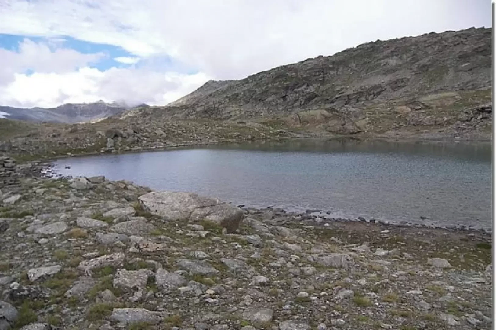
Lake Gias di Beu, from the Col Nivolet road
The Gias di Beu lake is located not far from the Royal Hunting Route path, which leads from the Nivolet...
T2
0.00 Km
338 m
Edited by:
Renato Brazioli
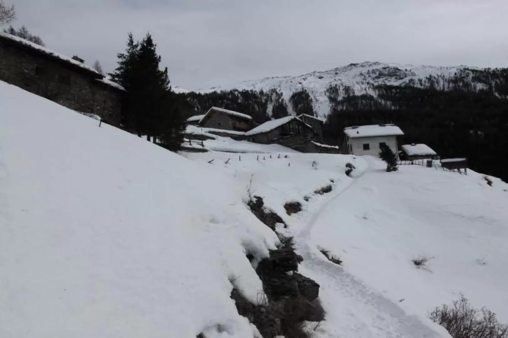
Arlaud Refuge, from Salbertand
The hike leads from the bottom of the Susa Valley to the Arlaud refuge, in the Montagne Seu hamlet, passing...
WT2
0.00 Km
721 m
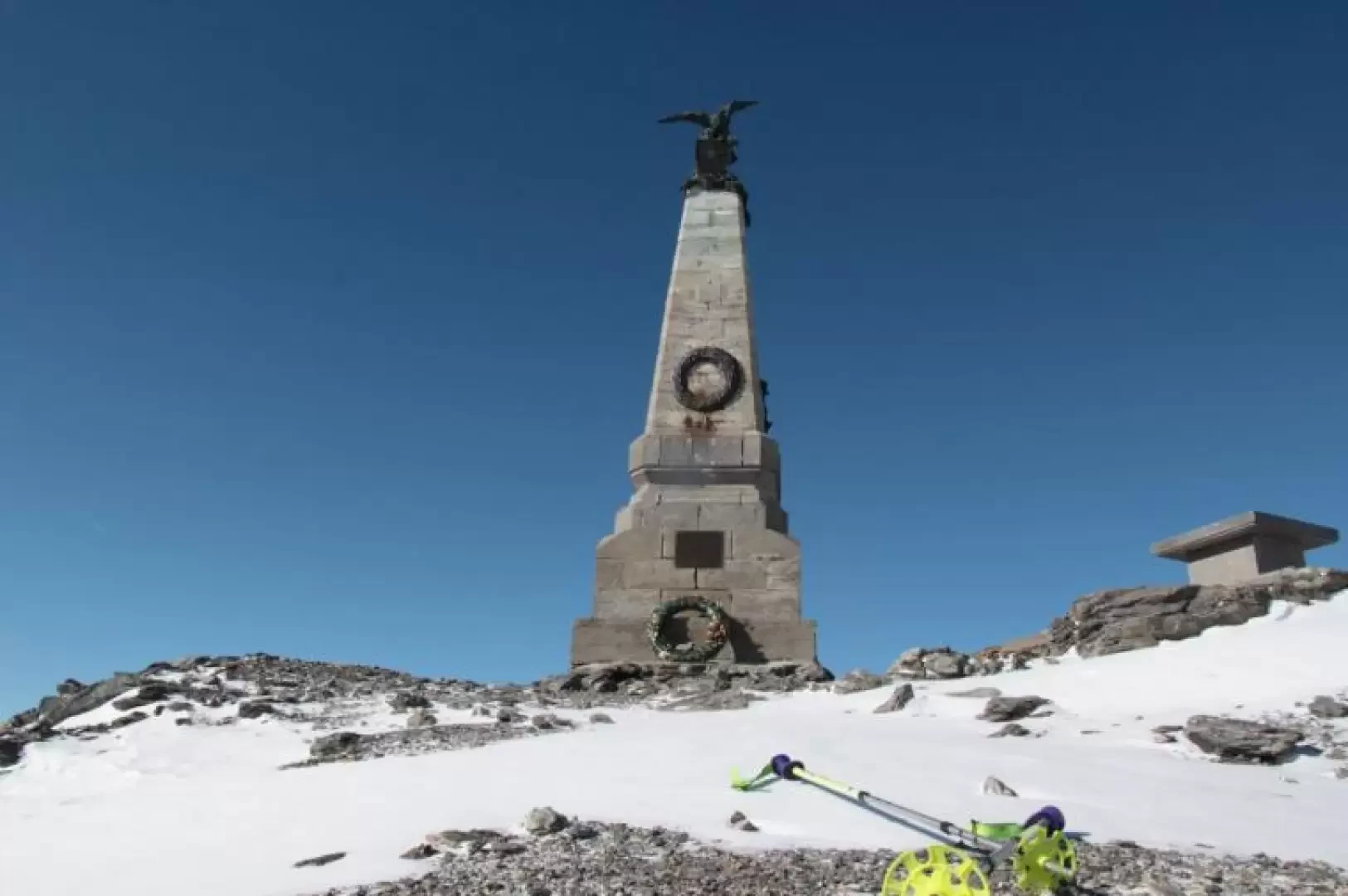
Lago dei 7 colori (Lac Ginoux)
11/07/2011
Col du Leynir dai laghi del Nivolet
06/09/2006
No results
No results