Arlaud Refuge, from Salbertand


Edited by:
Renato Brazioli
Updated at: 10/02/2025
Introduction
The hike leads from the bottom of the Susa Valley to the Arlaud refuge, in the Montagne Seu hamlet, passing through the Gran Bosco di Salbertrand park.
Description
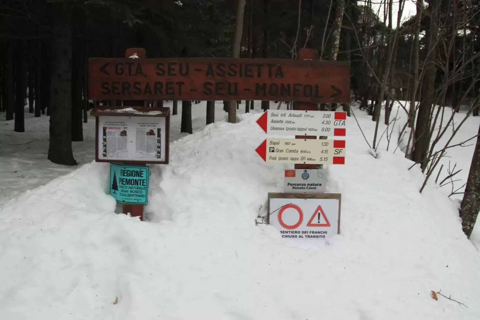
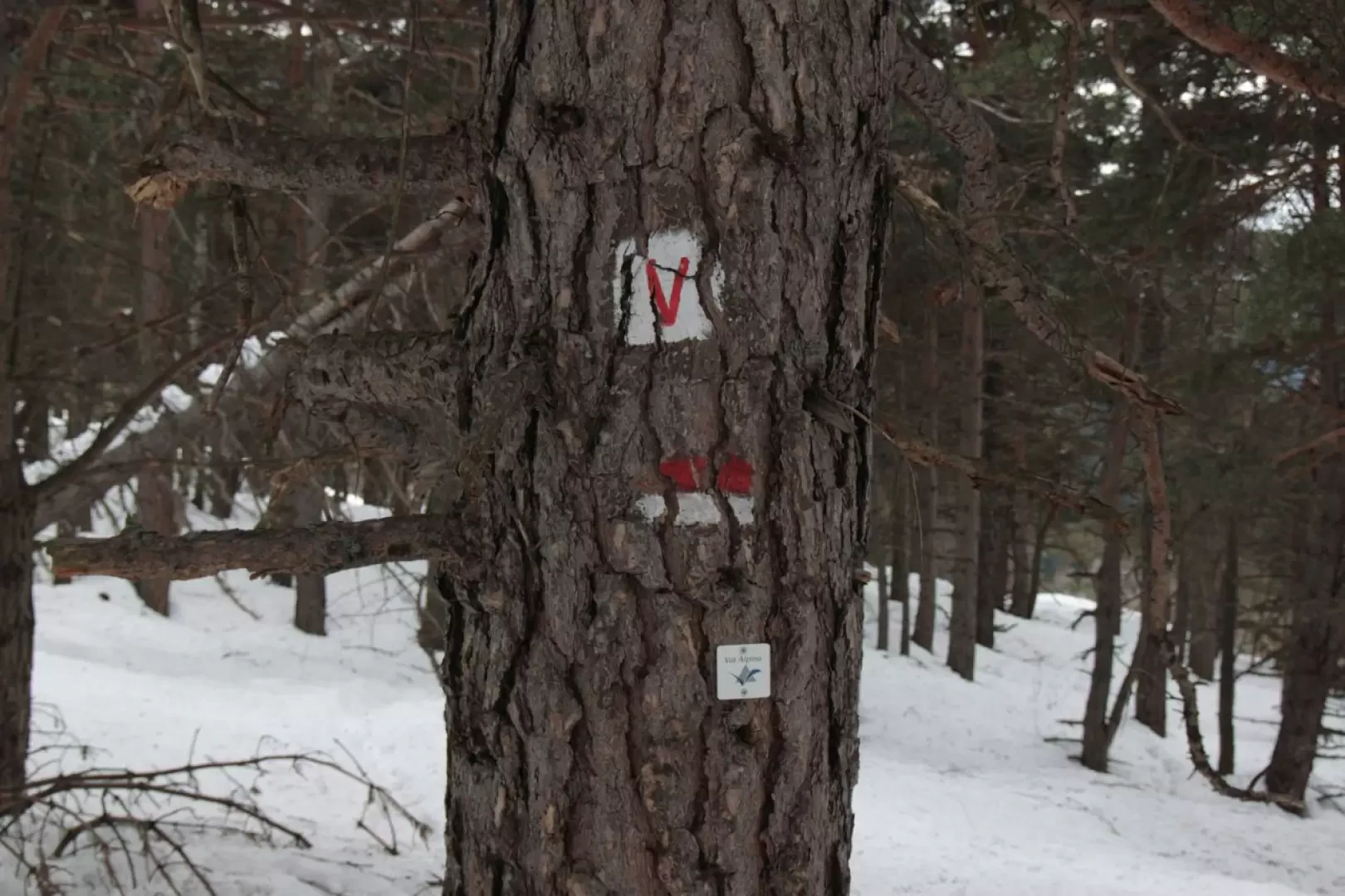
We start from the parking areas of the Gran Bosco di Salbertrand, at an altitude of 1,050 m., and follow the well-marked path, with the GTA and Sentiero Balcone marks. Their location on the trees makes it easy to find them even in the presence of snow.
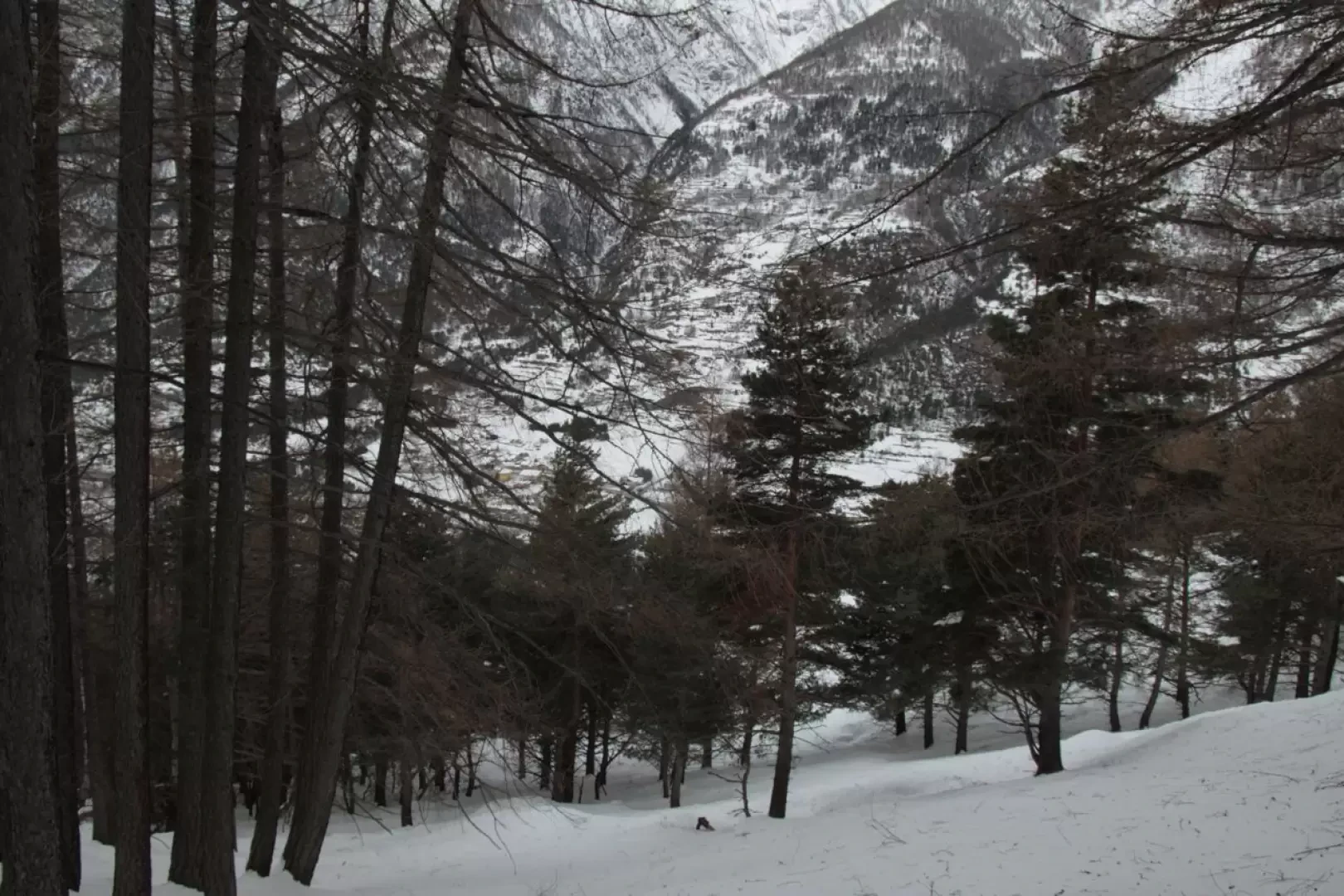
After a gentle start, there is a small slope that quickly gains altitude.
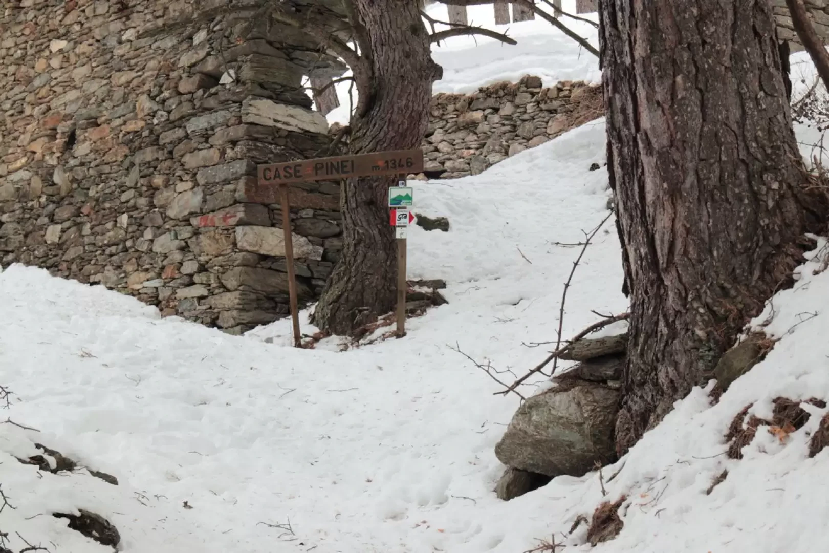
After about 45' you reach the Case Pinei mountain pasture, at an altitude of 1,346 m..
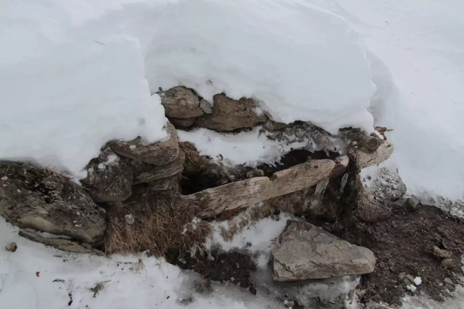
At this point, the trail continues along the mountainside until it reaches the remains of the Grange d'Himbert mountain pasture, at an altitude of 1,394 m., and turns decisively to the left, climbing, still on the slope, until reaching the large, almost completely ruined alpine pasture of Case Berge, introduced by a beautiful fountain, at an altitude of 1,551, after about 35' (1h 20' from the start).
This section can present, in the presence of heavy snowfall or wind, some beautiful accumulations of snow.
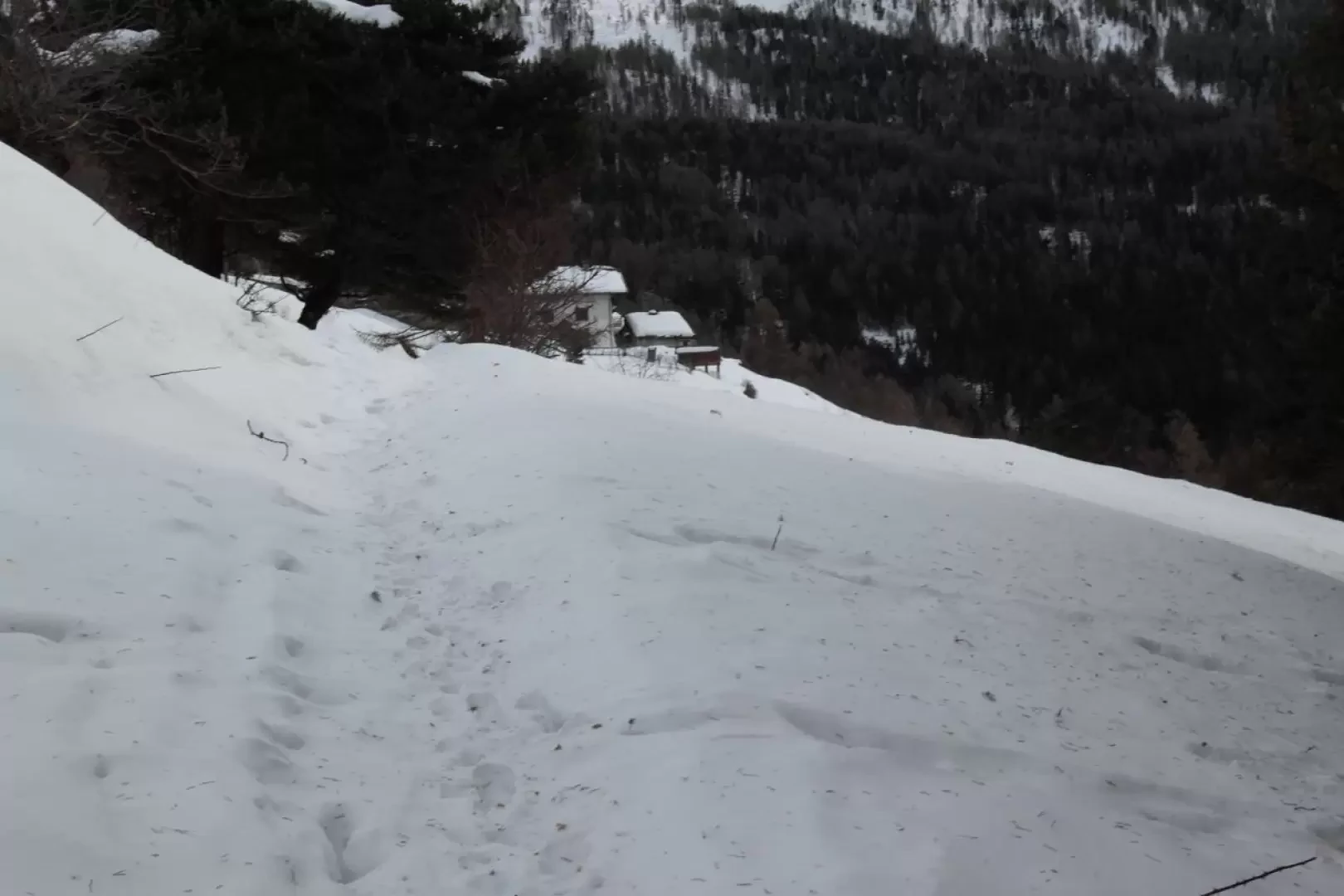
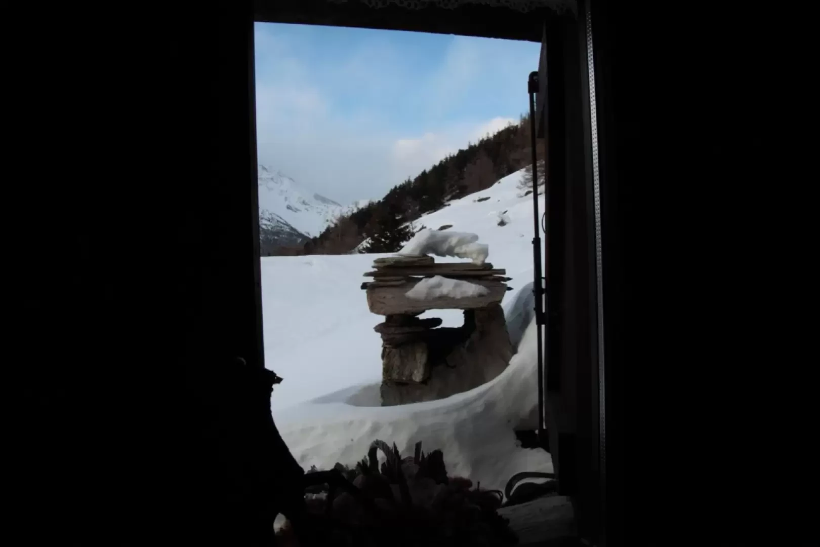
After Case Berge, the path climbs steeply up the side of things and, in the forest, which becomes more sparse, proceeds for the last stretch, which leads to Montagne Seu, and to the Arlaud hut, at an altitude of 1,771 m, after about 40' (2 h from the start).
Photo gallery
Comments (0)
Sign in to leave a comment