Col du Leynir from the Nivolet Lakes

Edited by:
Renato Brazioli
Access
Leaving the motorway Ivrea, take the Pedemontana, Strada Statale [SS 565], and at Castellamonte the Strada Statale [SS 460] di Ceresole Reale. From Ceresole Reale take the road to the Nivolet pass. This leads to the Savoia refuge, where there is ample parking.
.Introduction
Easy hike, all on footpath, leading from an environment of pastures and small lakes, to the severe environment of a high mountain pass. The difference in altitude is not great, but the development is important, with several flat stretches.
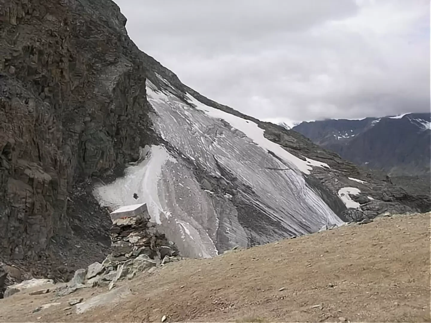
Description
Take the obvious path that starts behind the Savoia hut, leading through the pastures. After about 10 minutes, you come to an alpine pasture, still in use in the summer, where the path makes a sharp U-bend and awaits you on the plateau. You cross an area of pastureland, full of lakes, Lake Rosset, with its characteristic priest's cap, and then the Trebecchi lakes. In this area there is a beautiful panorama of the Gran Paradiso, clouds permitting. From here, the path, marked , begins to climb more decisively and heads towards a grassy hump, which is crossed by going round it on the left. Then, climbing up a scree slope, you overlook an area of small lakes and enter a gorge, with a semi-flat path. From here, you descend slightly to a rocky plateau, from which several small streams flow down towards the Black Lake. At this point, you have reached the final break and there are two choices: the marked path, on the right, climbs a couple of long traverses over scree terrain. It is an exposed path, unsuitable for those suffering from vertigo, mainly downhill, and tiring. Instead, another path starts to the left, less exposed and with a more gradual progression. Pay attention to the ground conditions, however; it can be more unstable. Following the first one, you arrive at the top at the same altitude as the pass and a short flat traverse allows you to reach it. From here it is possible to ascend, by mountaineering route, to the Taou Blanc above.
The descent is by the same route as the ascent (2h00').
Riferimenti Bibliografici
- Quattro passi in Paradiso - Guido Novaria, Giovanni De Matteis - Priuli-Verlucca, 1997-2003
Galleria fotografica


