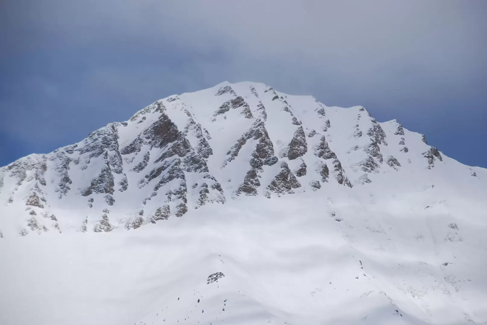
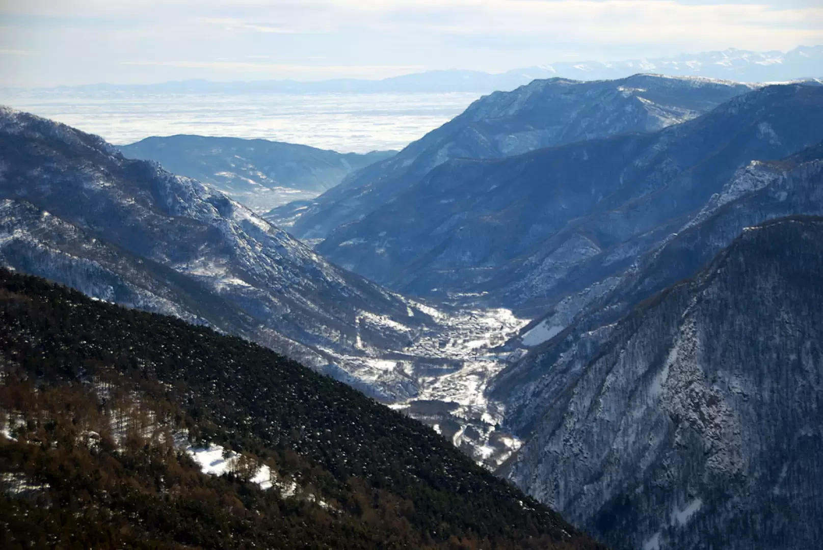
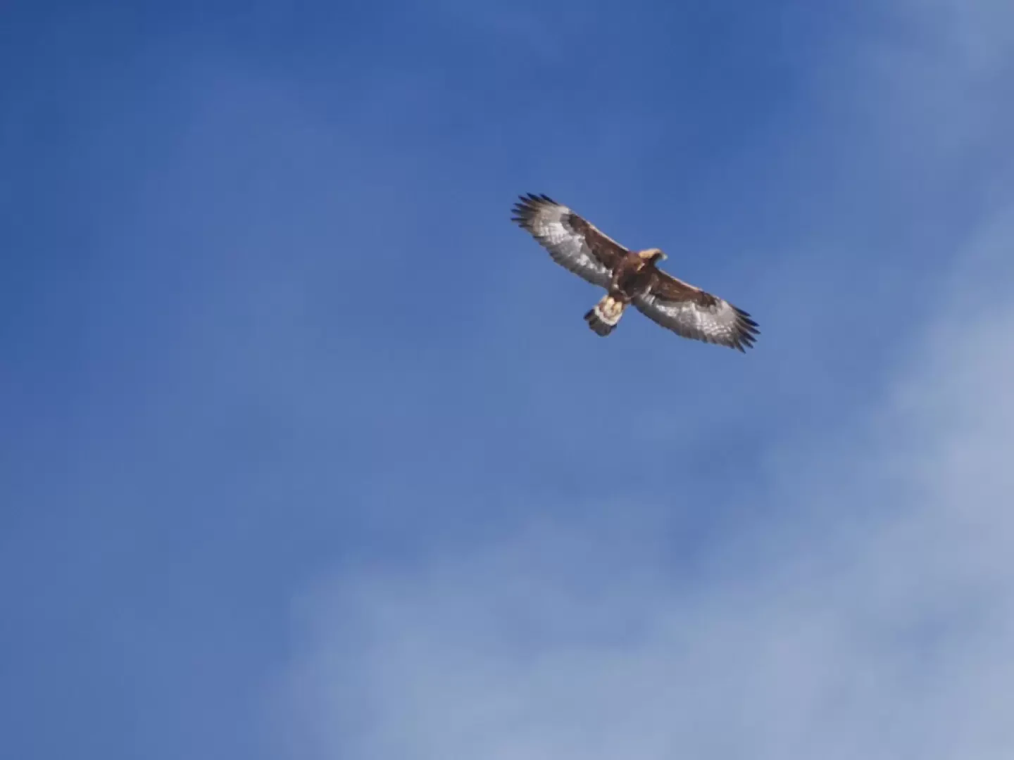
A very fascinating excursion, not difficult, but to be done in optimal snow conditions. Along the way, you can appreciate beautiful views of the Val Chisone and the peaks that surround it, all immersed in the Orsiera-Rocciavrè Regional Park: it will not be difficult to come across some encounters with its habitual 'residents'.
Description
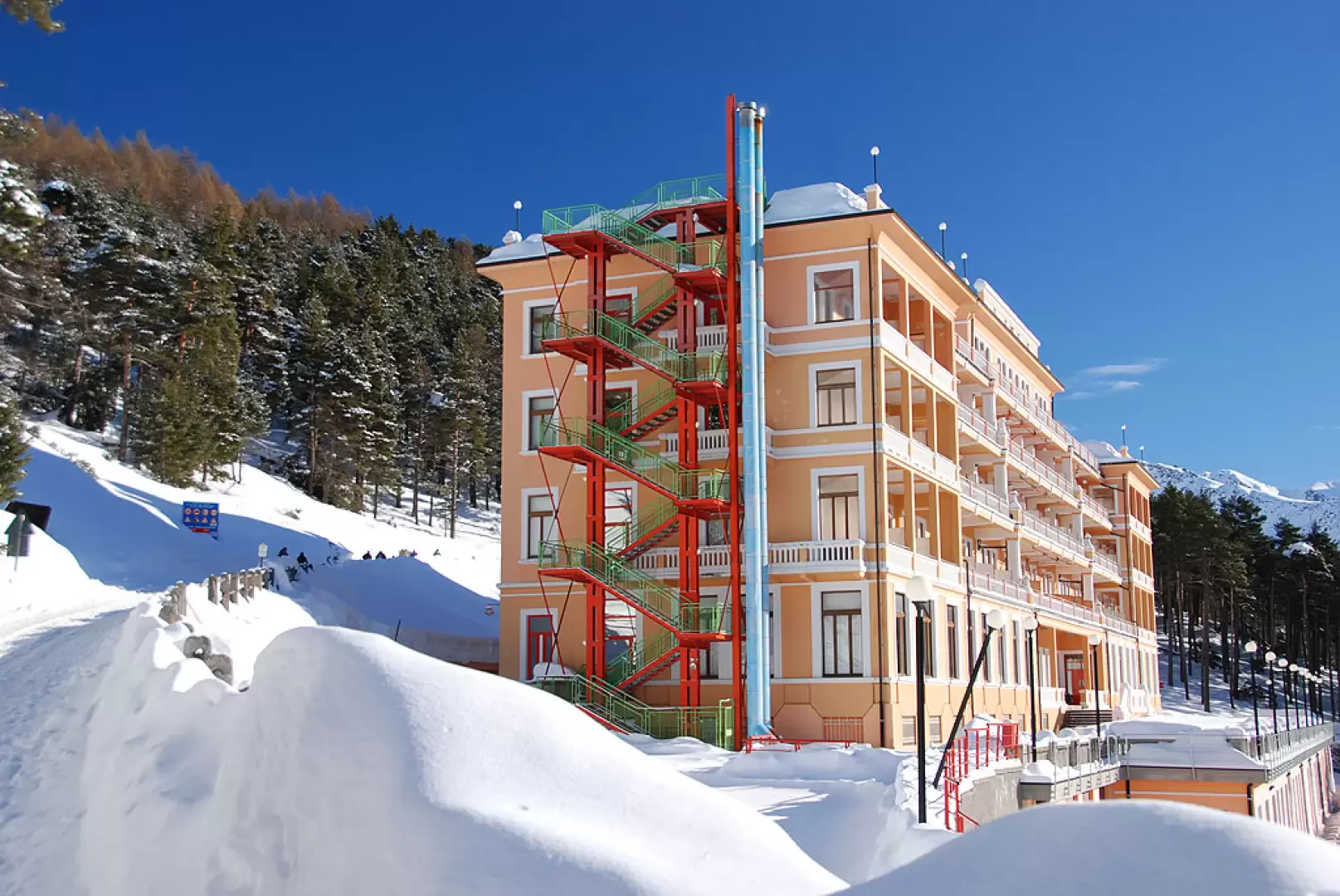
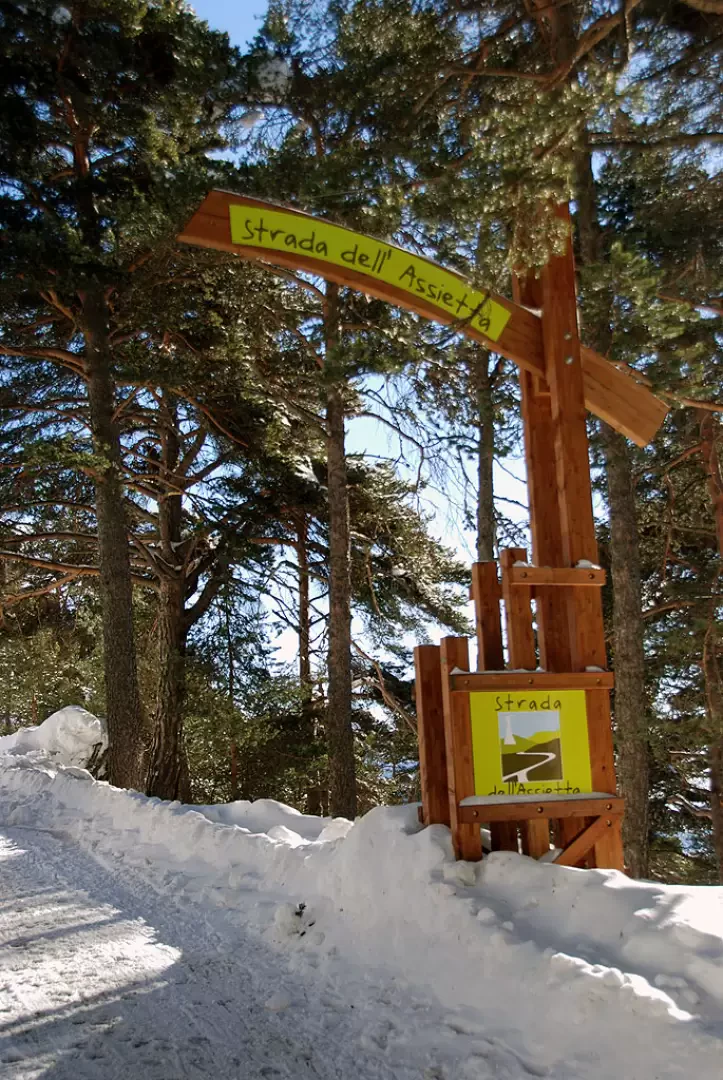
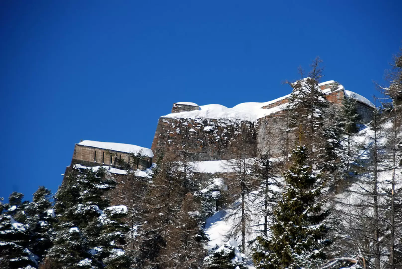
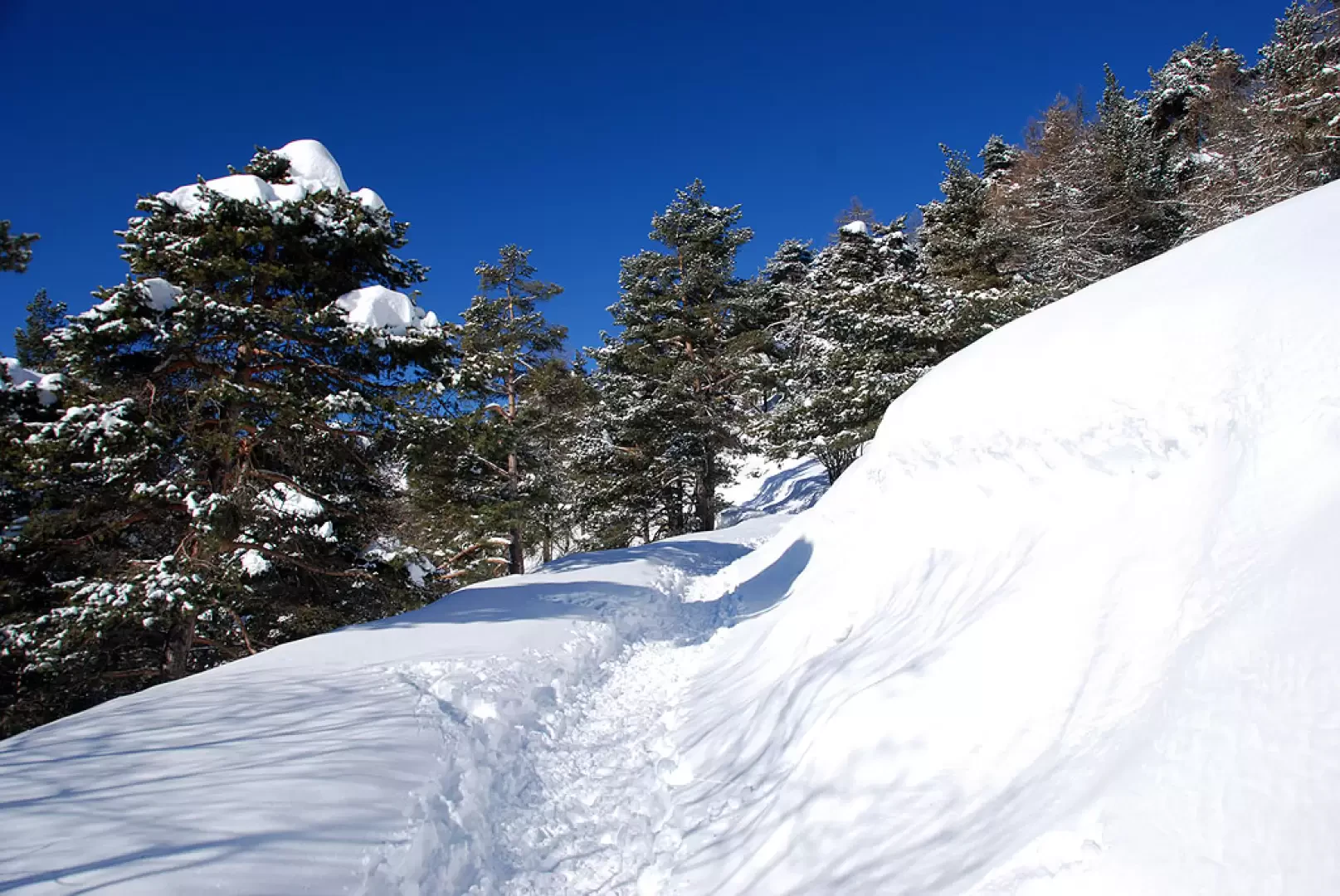
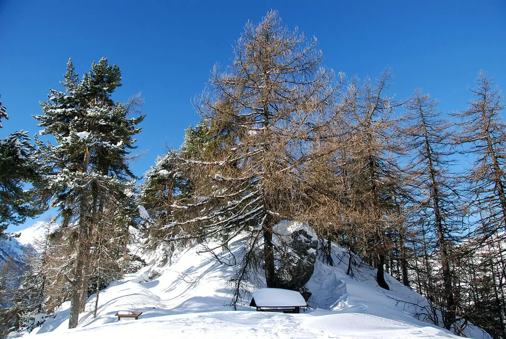
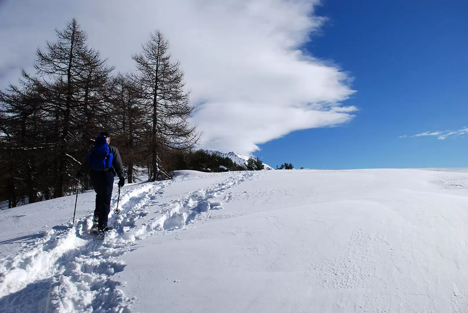
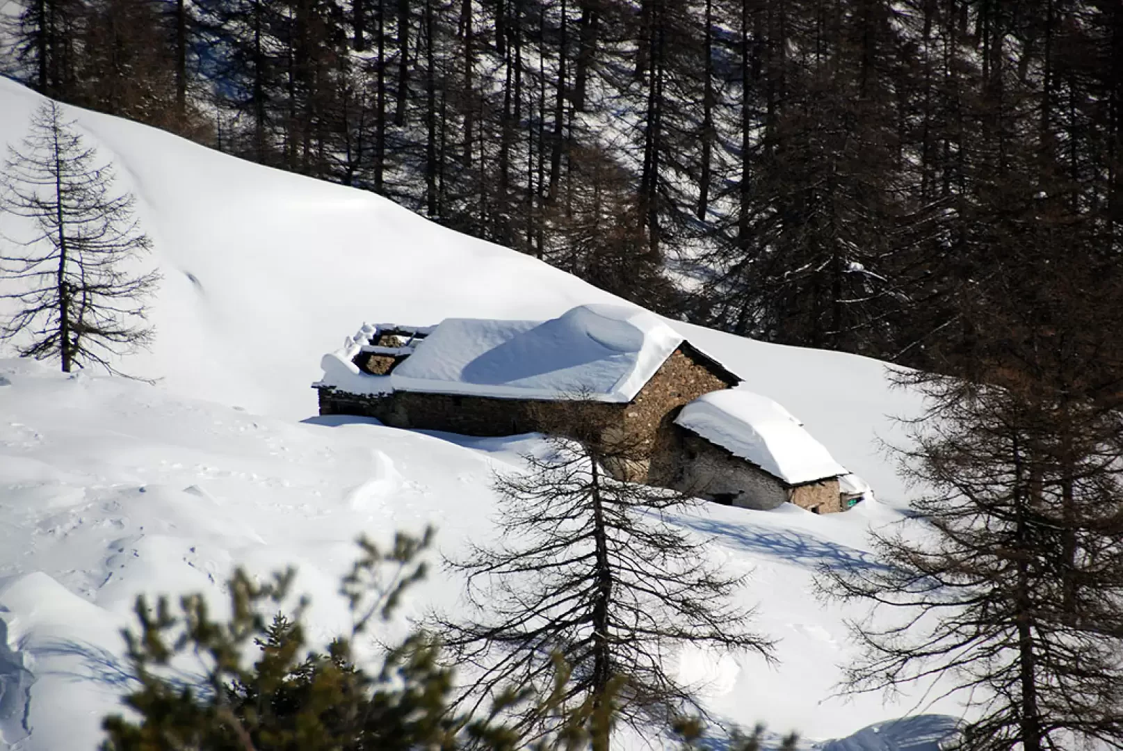
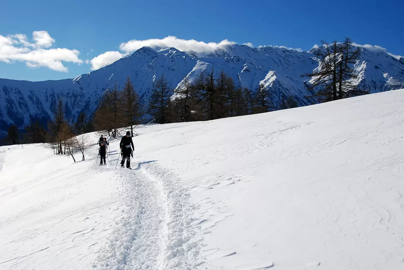
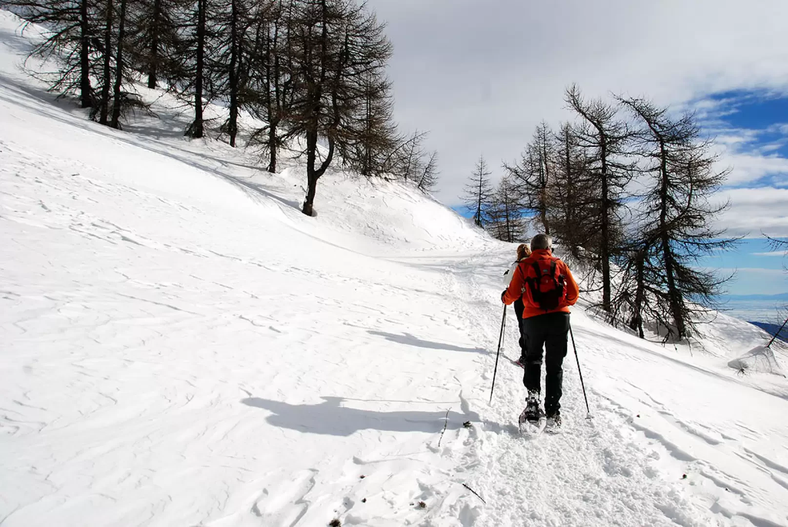
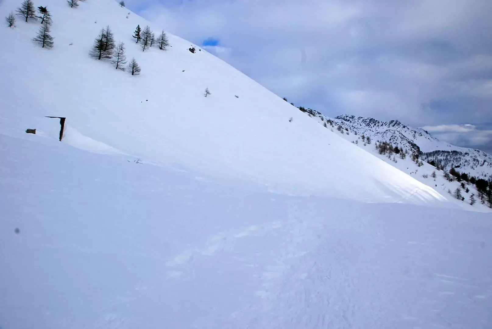
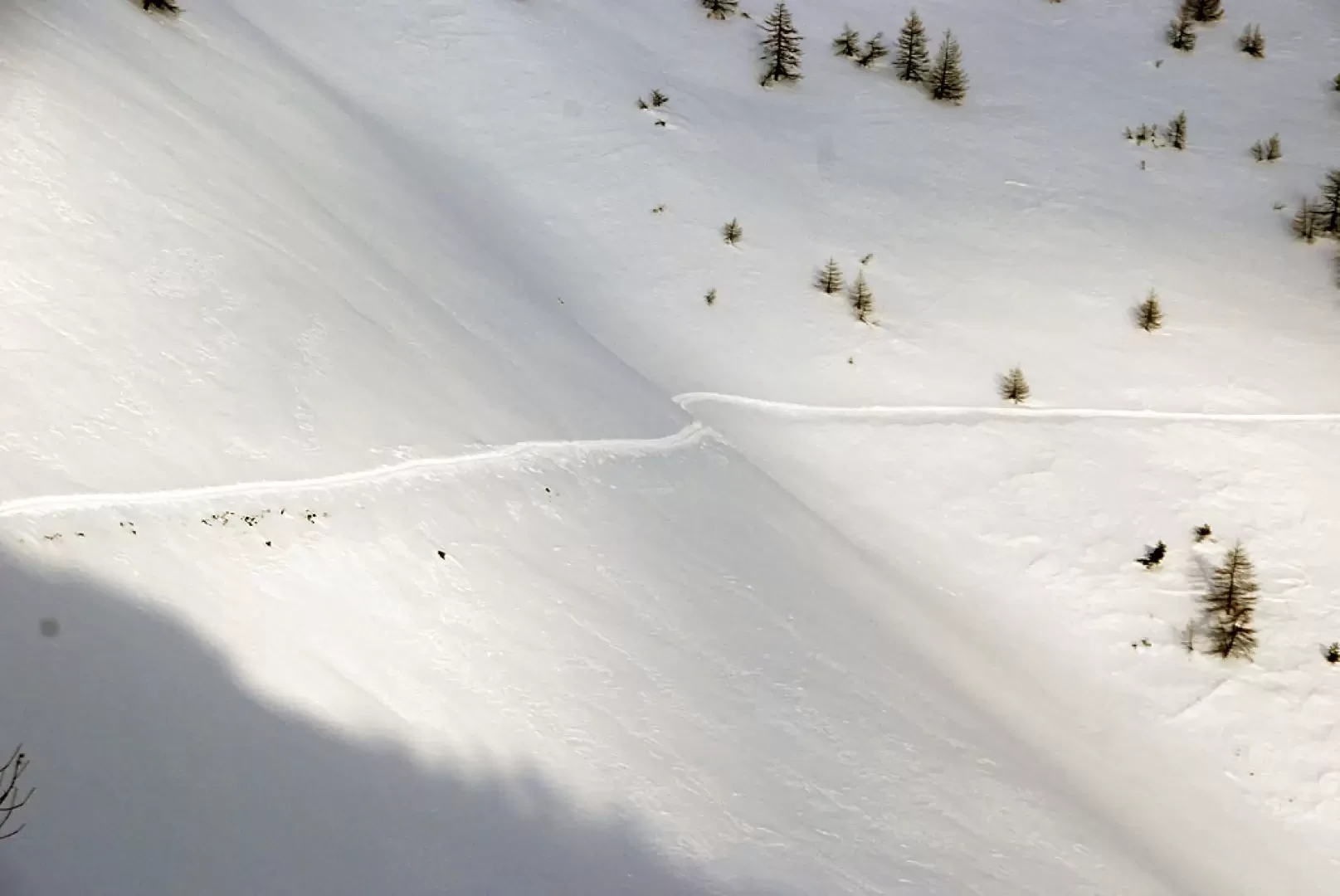
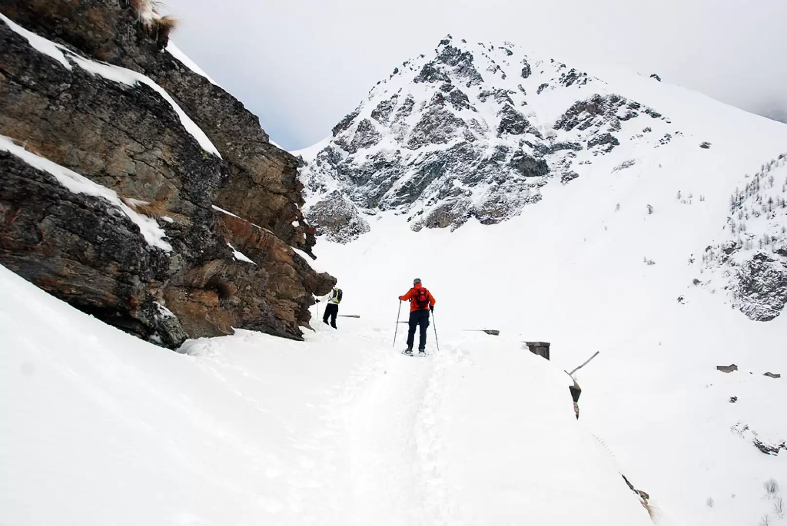
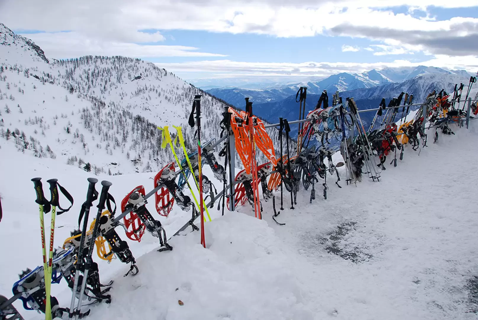
From the Centro Soggiorno Pra Catinat stay centre, proceed along the summer road until you reach a second car park: turn left and start walking along the snow-covered track heading west: the route taken in the first section is actually none other than the Assietta road. Proceed slightly uphill through the beautiful snow-covered forest until you reach the high entrance to Forte delle Valli (1700m, 0h20'). Turn right and enter the wood; the first part of the walk takes place in the larch wood with a few short ups and downs; after a small bridge, a very short climb begins until you reach a small clearing, at the level of the Pra Catinat picnic area, from which you can appreciate interesting views of the lower Val Chisone. Continue over a short stretch, through sparse woodland, until you reach the short plateau that precedes the Champfoulcre mountain pasture; follow a wide bend to the right, taking you above the mountain pasture, while the outline of Monte Pelvo can be seen on the left. Proceed now with a long, steadily ascending traverse that cuts across the Mufiette ridge: always walk on the summer road, which is relatively wide and comfortable, only the crossing of a couple of wide gullies may cause concern in the event of heavy snowfall. The gradient of the road slopes down until reaching the high point of the hike (2086m, 1h40'): continue for a short stretch on the flat until reaching Saret del Campo (2069m, 1h45'). Now proceed downhill in the Jouglard valley (another critical passage in case of heavy snowfall) until reaching the Bergerie del Jouglard (2031m, 1h550) and then continue on a long traverse, quite sloping, that bypasses the long southern ridge of Monte Orsiera. A few ups and downs and you finally reach the Selleries basin: pass under a sloping rock and descend to the Selleries hut (2023m, 2h15'). The return is along the same route as on the outward journey (2h00').


Comments (0)
Sign in to leave a comment