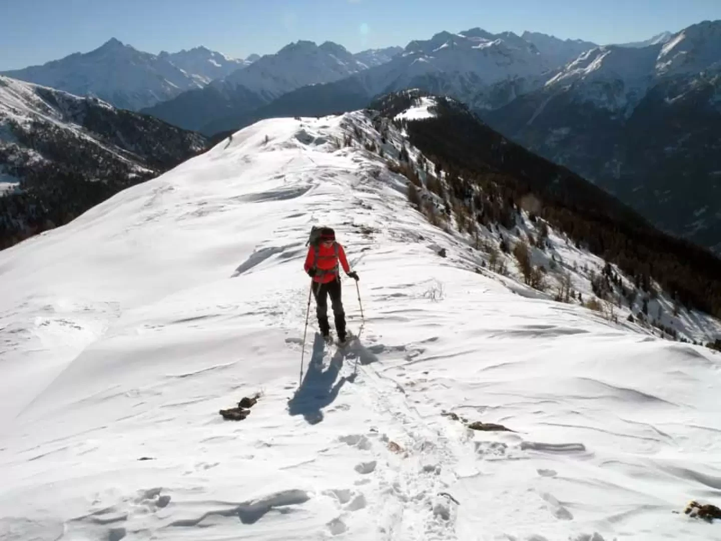
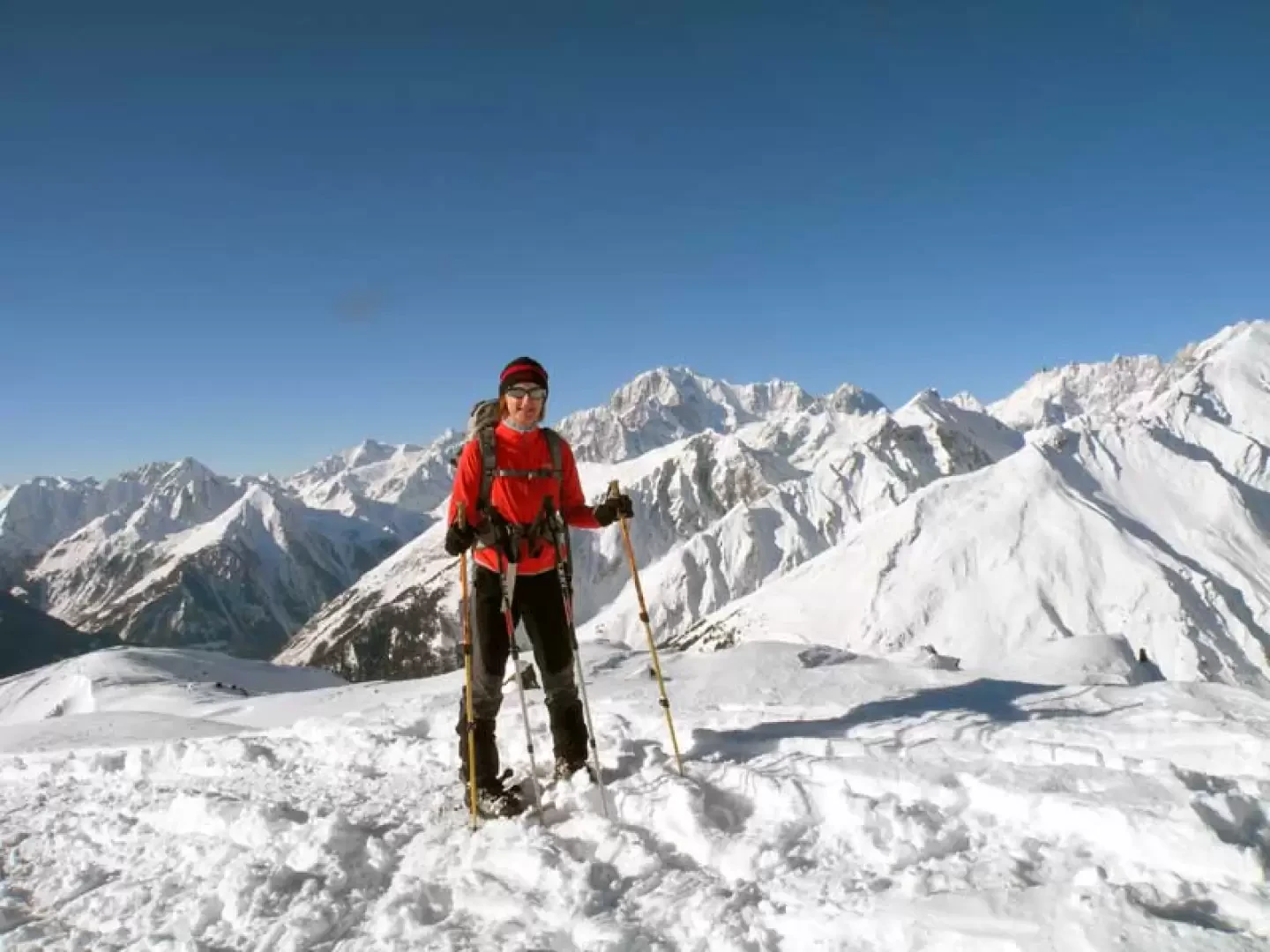
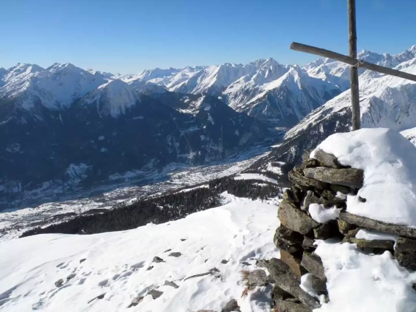
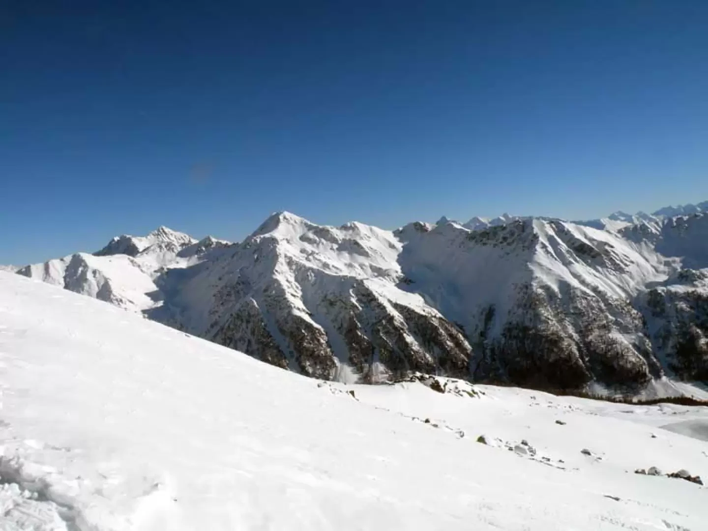
This climb involves a long journey (around 14 kilometres) and also a fairly high altitude difference, which will soon be forgotten once you reach the summit from which the panorama is nothing short of exceptional over the Alpine chain and the peaks to the south of the central valley. The itinerary is usually well traced up to the Col de Bard, while from here to the summit it is a little less frequented but still without any technical difficulties and with a route that is always evident and logical.
Description
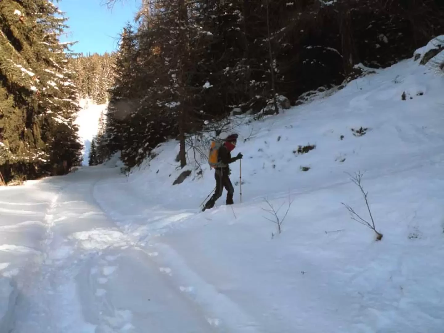
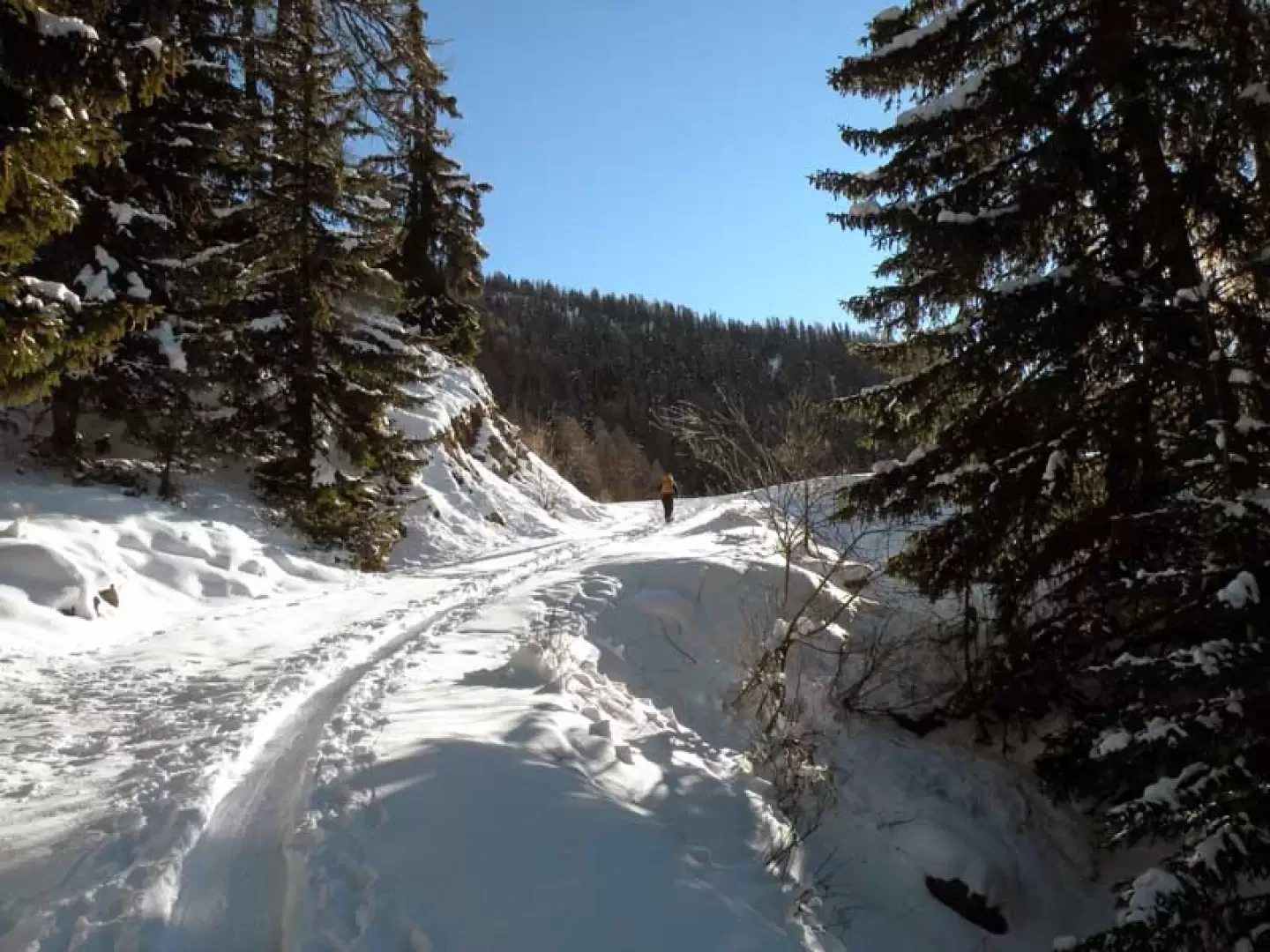
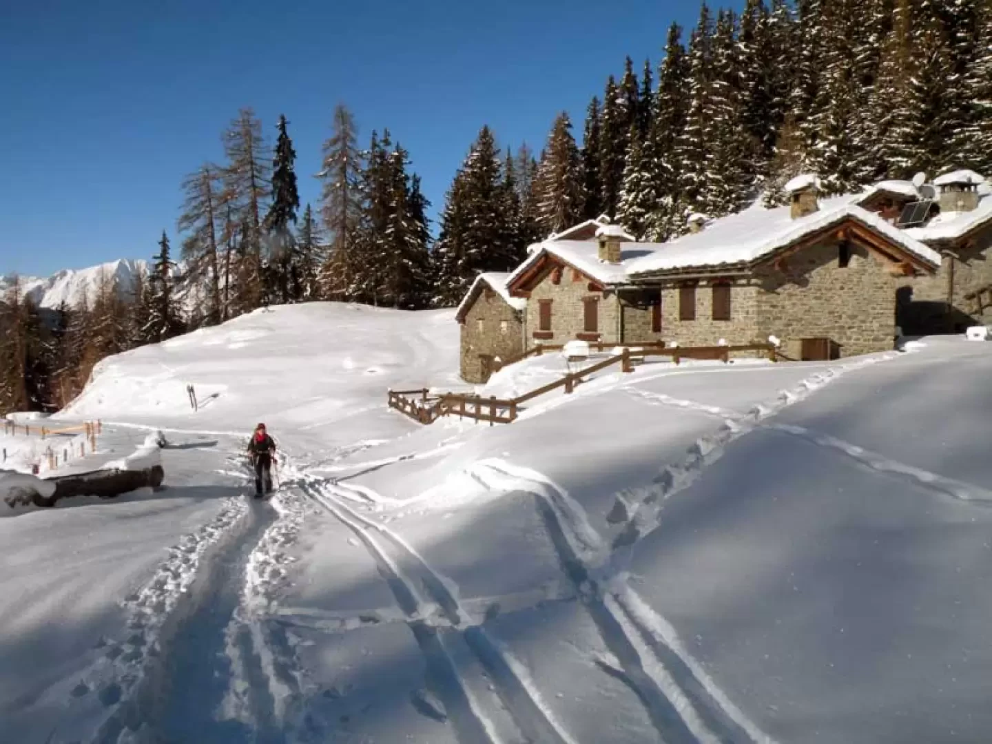
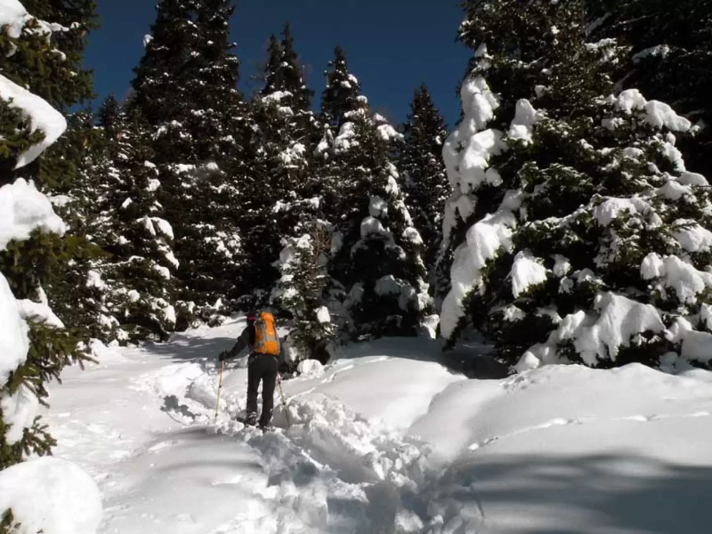
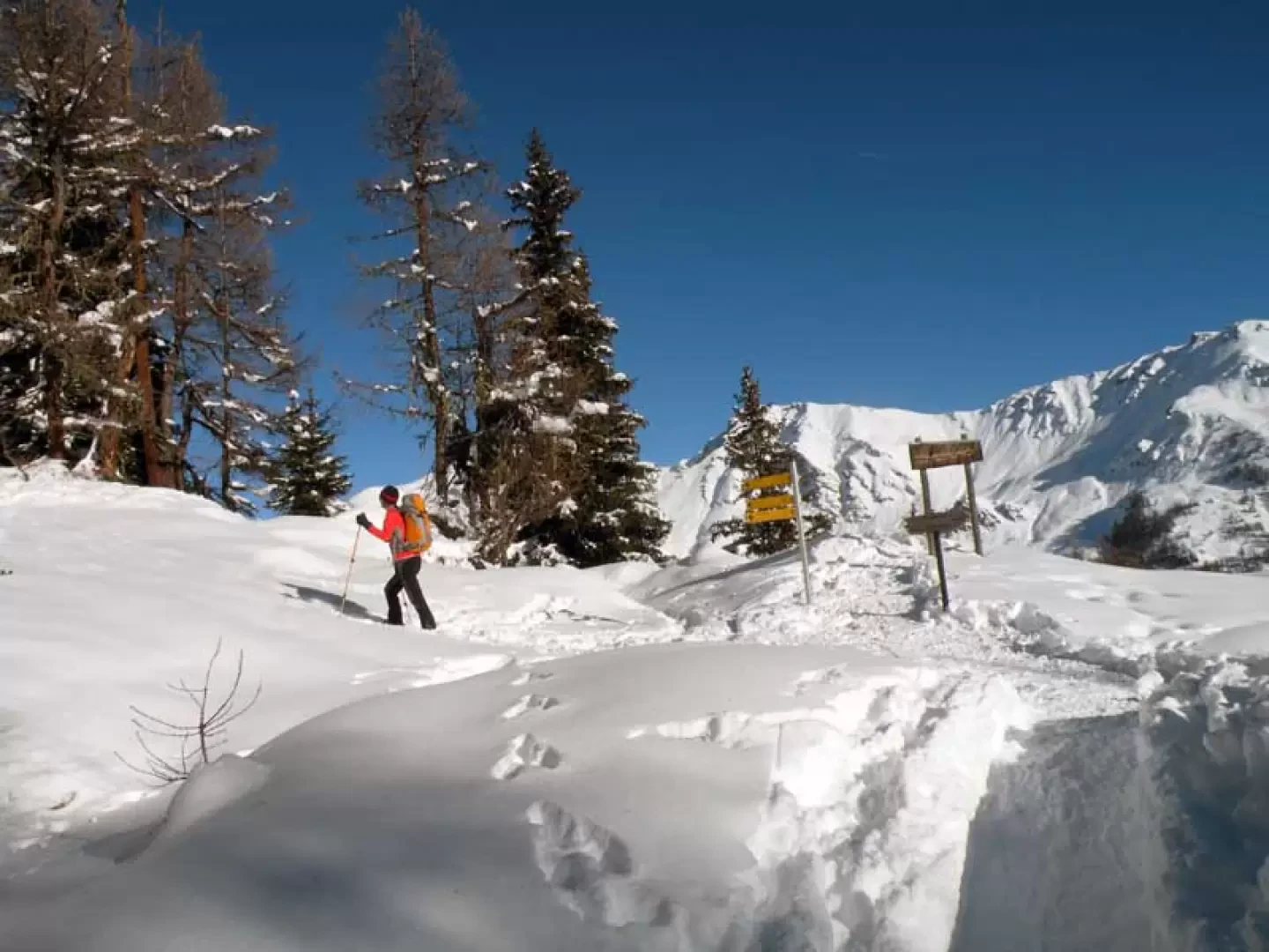
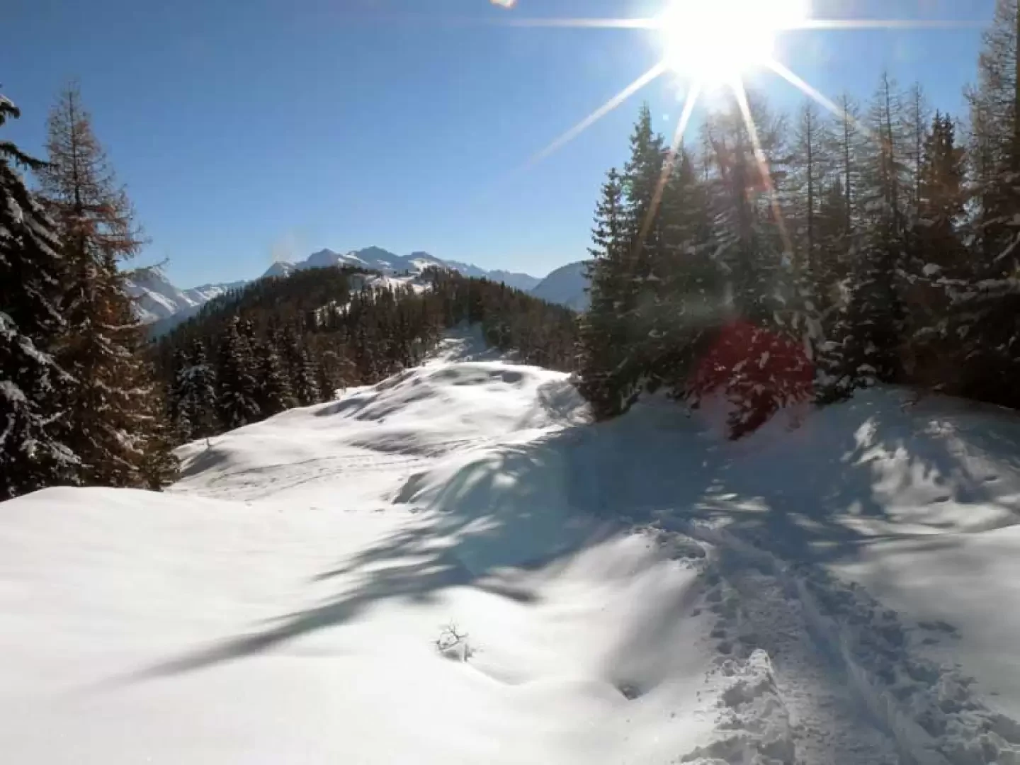
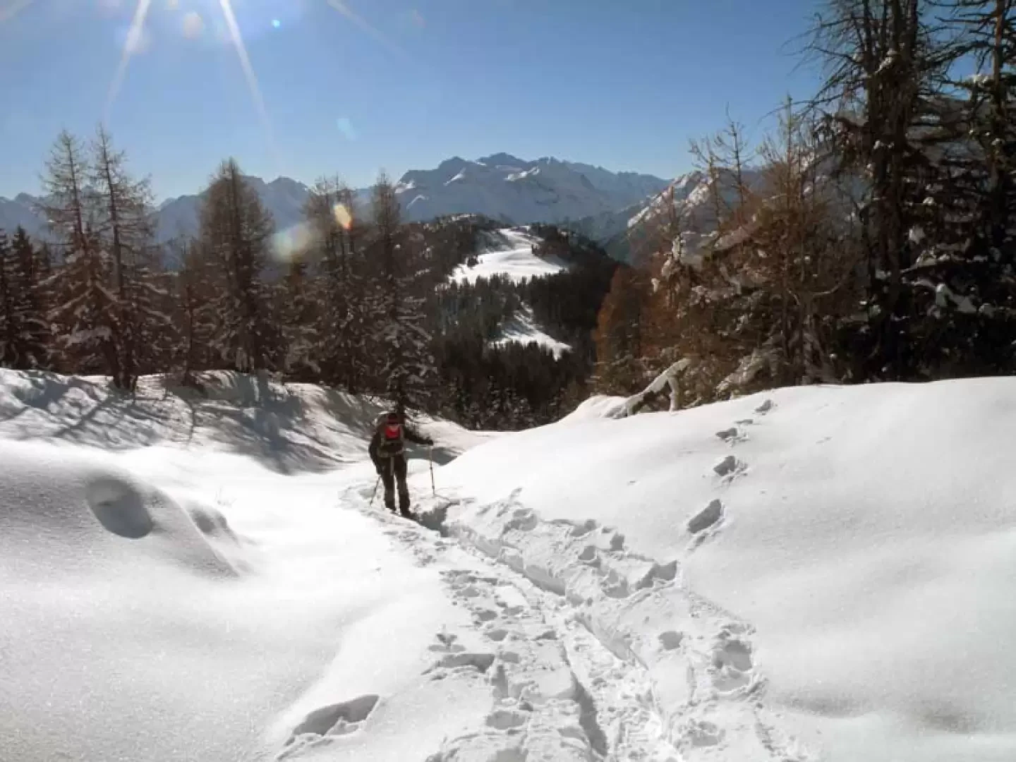
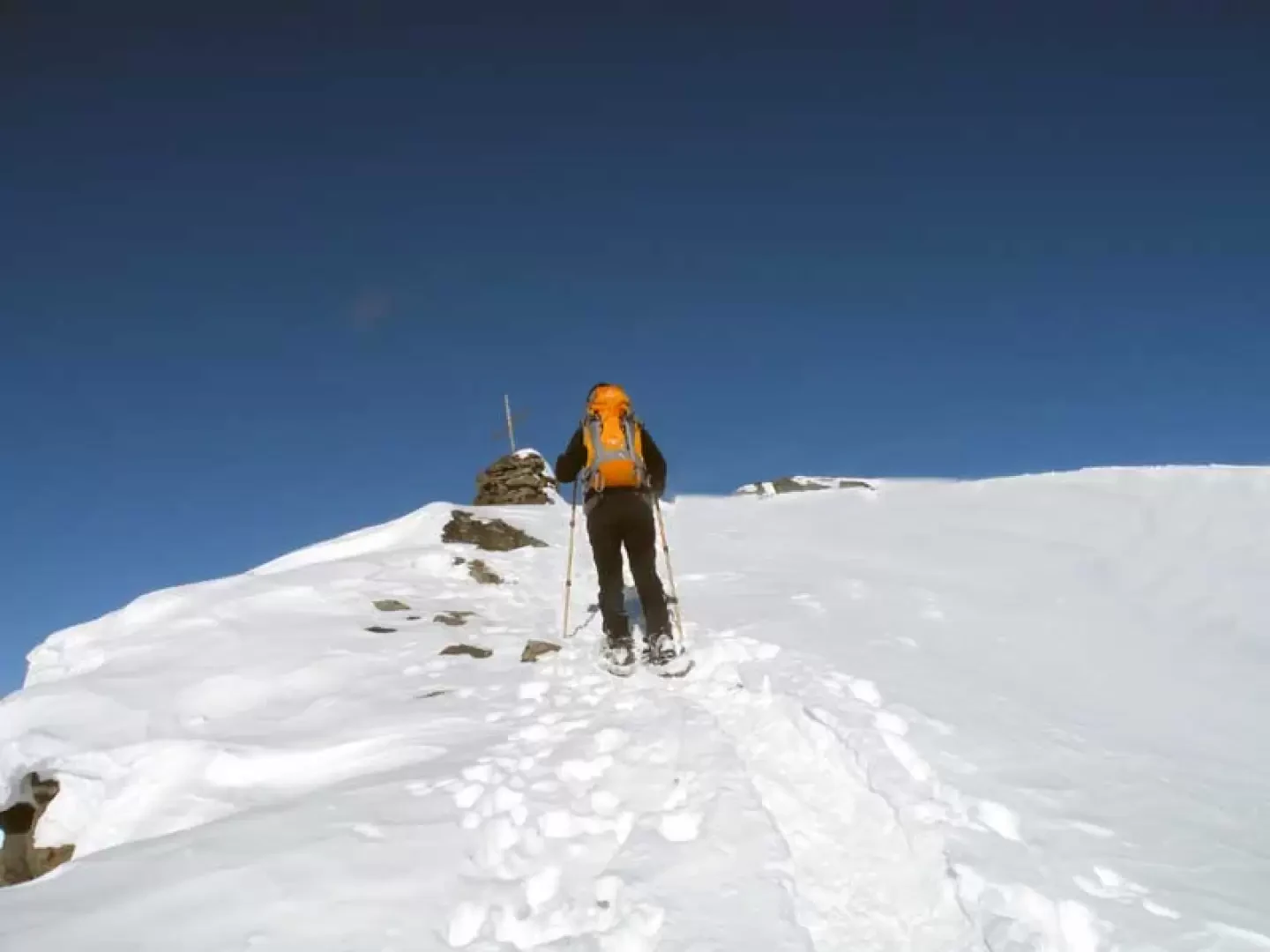
From the village, continue along the road as far as the no-transit sign where the hike begins. Walk slightly uphill on the track of the road, which makes a few wide bends, heading towards a hut situated high up, which you do not reach, but at a fork (1738m) keep to the right and continue until you cross another road (1873m); turning right, continue for a short distance and you will arrive at the Arpilles huts (1890m), which you pass, heading towards the woods, where there is a wooden post at the beginning. The path now rises into the beautiful coniferous forest, diagonally heading south-east, cutting across the mountainside until reaching a tree with a wooden post on its trunk indicating the direction to the col de Bard (1992m); take a few narrow hairpin bends that are a little steeper and then continue halfway up the hillside, with the gradient increasing slightly, and you arrive at the wide crest of the col de Bard (2202m). From the signposts you turn left and climb up the wide ridge, remaining in the middle of it between the last offshoots of the forest, reaching Col Borromein (2314m); now the route becomes exceptionally scenic and, having reached more open spaces, you walk without gaining much altitude, approaching with a few ups and downs the wide ridge that descends directly from the distant peak of Punta Fetita, which is opposite. A little further on, the ridge becomes a little narrower but still safe, and arrives at the base of the final slope that descends from the summit towards the south; with a few slightly steeper climbs, a few zig-zags are made and the wooden cross (2623m) is reached just a few metres from the summit, which can be reached with a few steps to the north.


Comments (0)
Sign in to leave a comment