Colletta Sellar, from Ghigo di Prali

Edited by:
Massimo Martini
Updated at: 08/06/2025
Access
From the Turin ring road, take the A55 towards Pinerolo - Sestrière. Go around Pinerolo by the ring road and then continue along the SR23 to Sestrière as far as Perosa Argentina, where you turn left onto the Val Germanasca SP169. Climb up the valley on the narrow road until you reach Ghigo, a village of Prali: here follow the signs for Indiritti. Go up the slope with some hairpin bends and, at the last hairpin bend before the village, you will find a clearing where you can leave your car (there is a car park at the village, but it is for residents' use only). From our car park, walk 50m and you will find, on the left, the start of the track and the beginning of the route.
Introduction
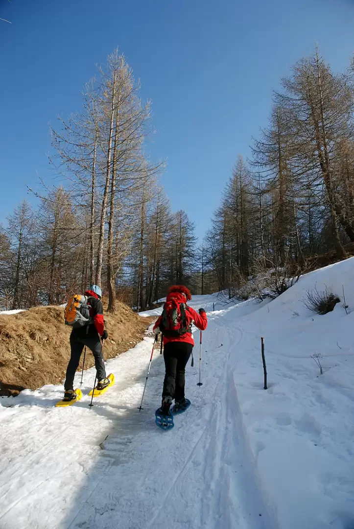
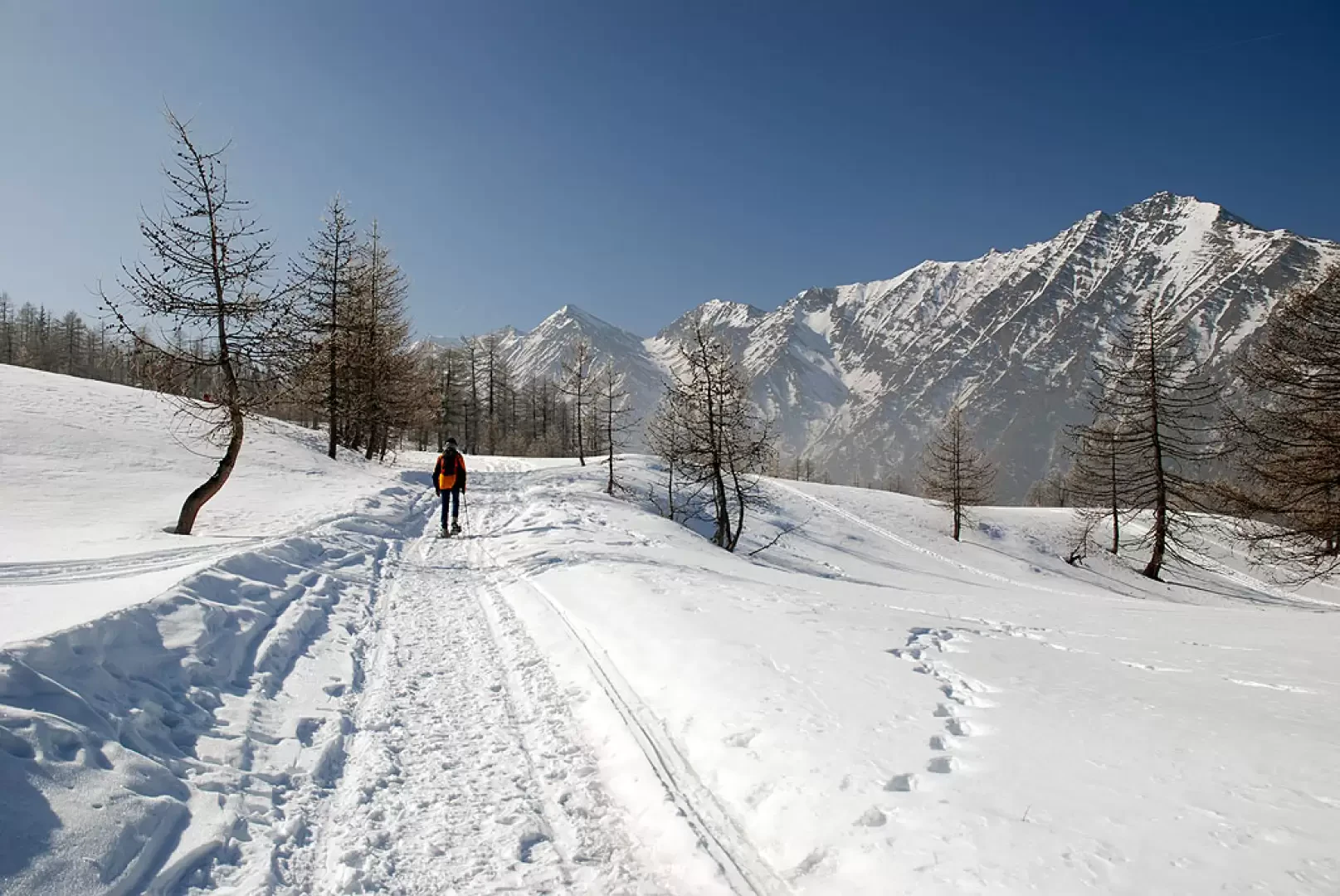
There are two snowshoe trails in Prali: the following is a pleasant ascent to Colletta Sellar, the arrival point of a cable car in the old talc mine system. The walk is pleasant, not difficult and very scenic.
Description
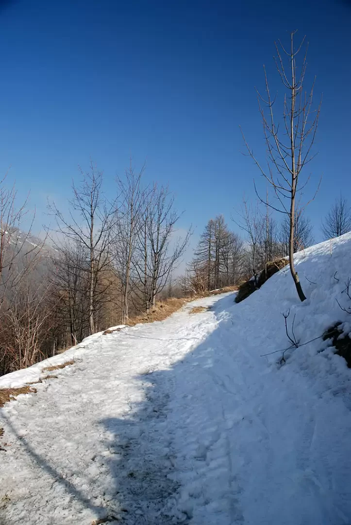
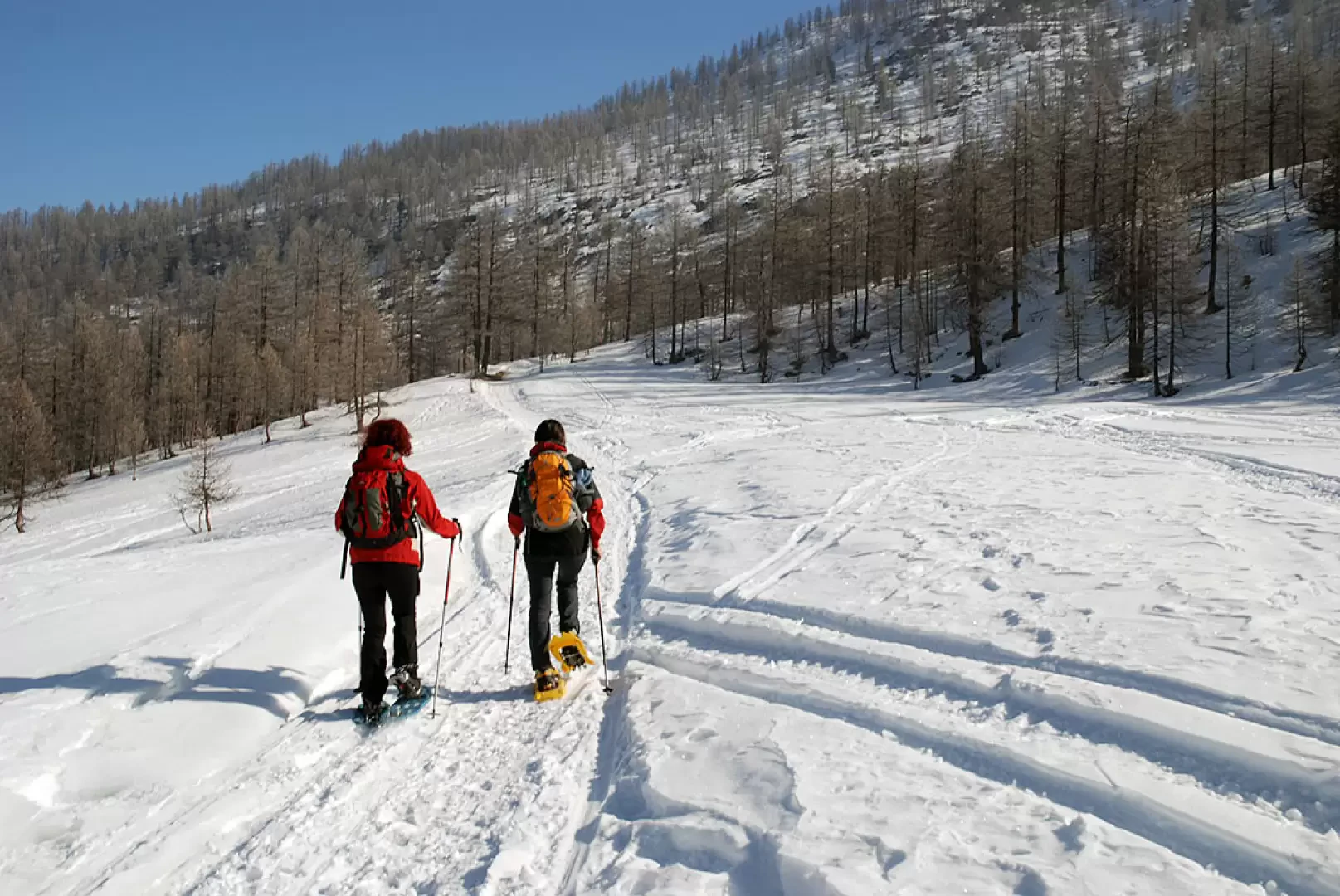
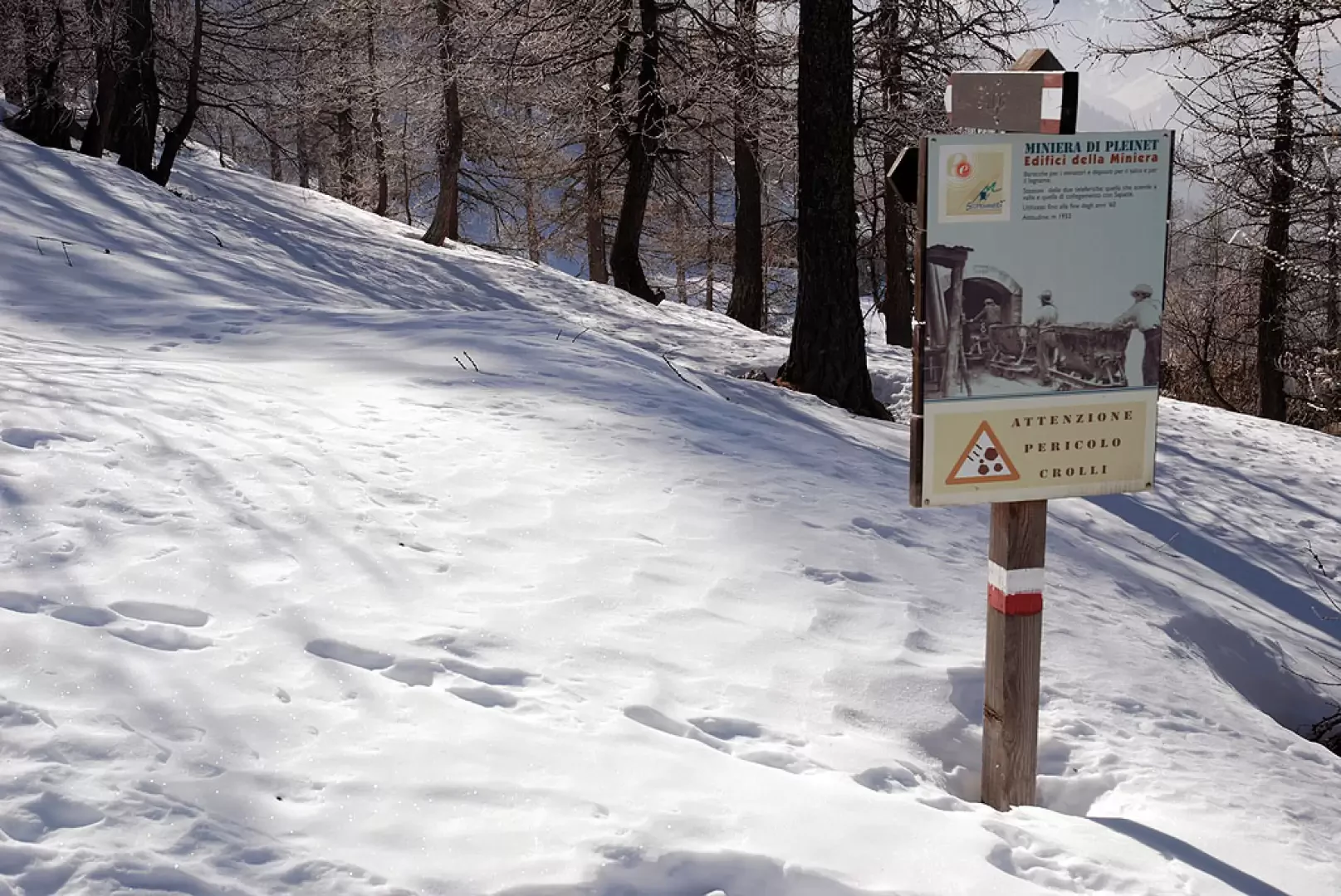
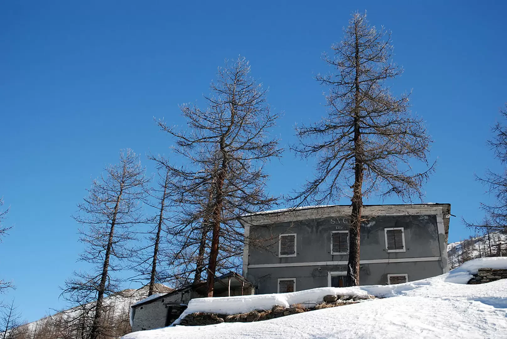
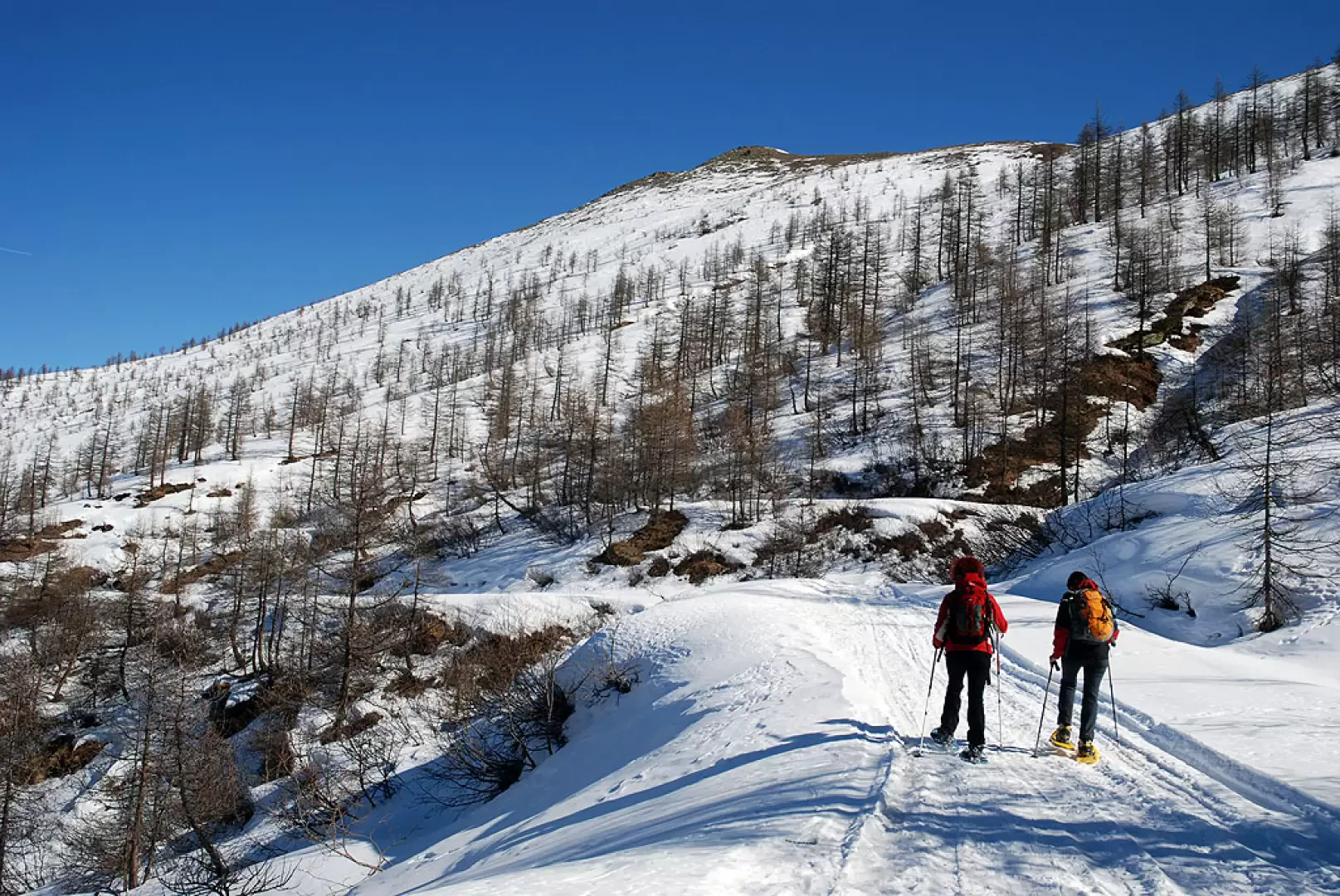
We set off, following the signs on a wooden post indicating itinerary 2 for snowshoes. Take a wide, initially flat track that begins to climb as it enters the larch forest. After an initial hairpin bend to the right, you come to a short clearing and then turn right, climbing further up into the wood. The ascent continues among the larches until reaching a beautiful Seleigon plateau, where the path for Ghigo is also met. Neglecting the path, turn left and go back into the wood, making a long traverse on the wooded ridge at the foot of the mines; with a couple of hairpin bends, you gain height until you reach the crossroads for the first of the mines, that of Pleinet. We continue the ascent, this being the steepest stretch of the entire route, until we reach a few buildings: we find ourselves in front of the Sapatlé mining complex (2017m,1h30') where talcum powder was extracted during the 19th and early 20th centuries (the entire mining complex is excellently supported by the explanatory panels of Scopriminiera: the eco-museum route dedicated to the mines of the Germanasca Valley).
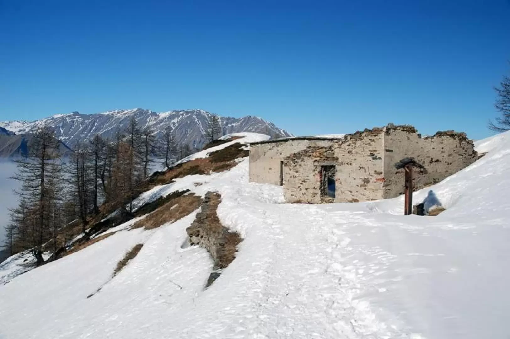
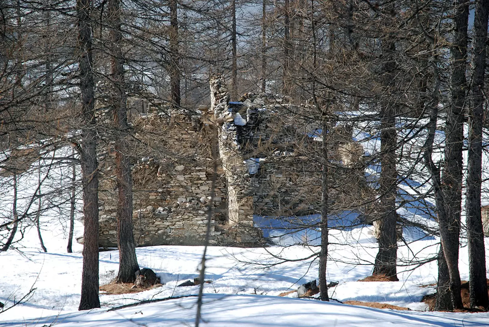
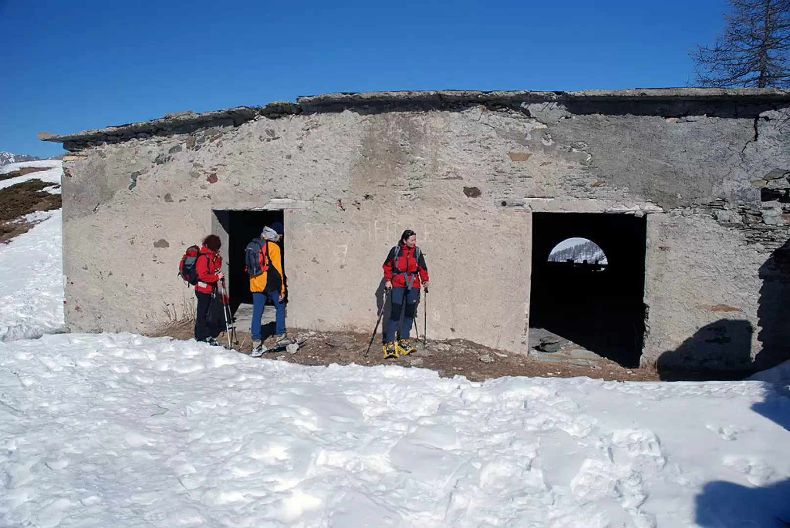
The climb is now over, and we proceed with a long traverse under the Rocca Bianca to be covered practically level. A fork in the road is reached: ignore the descent to the left towards the marble quarry and continue straight on, passing on the edge of the quarry and finally reaching Colletta Sellar (2036m, 2h00'), consisting of a few ruins and the arrival of the cableway used at the time of the mine to transport the extracted material downstream.
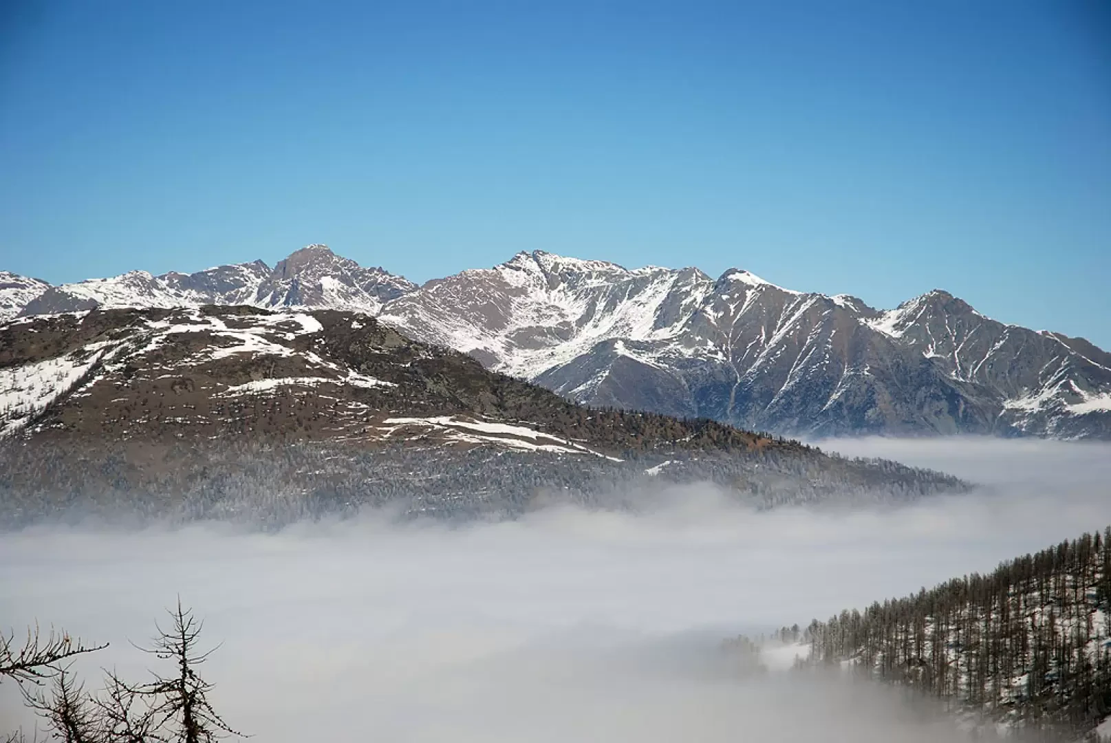
The panorama is remarkable and provides a good overview of the mountainous relief of this area, from the Grand Queyron to the distant... but not too distant... Orsiera group.
The return trip follows the same route as the outward journey (1h 30').
Galleria fotografica
We have been there
Edited by:
Massimo Martini