Col Ranzola - Arescoll, from the Fénillettaz car park
Access
Leaving the motorway at the Verrès exit, enter the roundabout and take the second exit. Proceed in the direction of the town centre and, after 300m, turn left onto the regional road for Val d'Ayas. Follow the regional road for 16.5 kilometres, passing the villages of Challand-Saint-Victor and Challand-Saint-Anselme before reaching Brusson. Pass the village and, just before the junction for Col de Joux, turn right onto the communal road to Estoul. Continue on the communal road for about 7 kilometres, passing the villages of Croix, Estoul and Fenillettaz before reaching the large car park 🅿️ of the ski resort where you can leave your car.
How to get there with GMaps
How to get there with Apple Maps
Introduction
Short hike with not too much elevation gain that offers excellent panoramic views.
Description
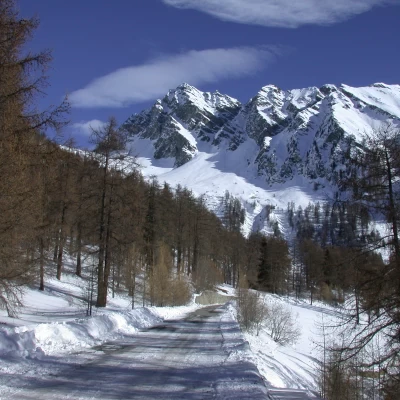
Leaving the car in the car park, continue along the asphalt road that leads to Pra Barmasc: from the car park, the road has a no-transit sign. You walk for about 5 minutes until you reach, at the height of the Murassaz huts (1890 m), a barrier and consequently the start of the snowshoe trail.
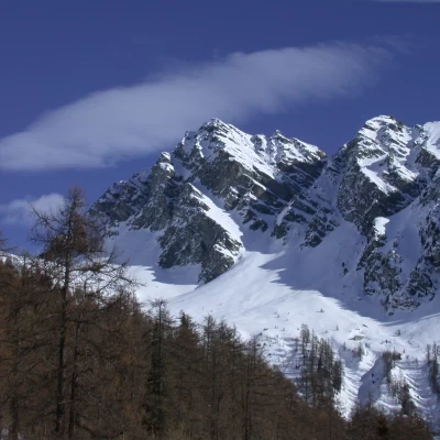
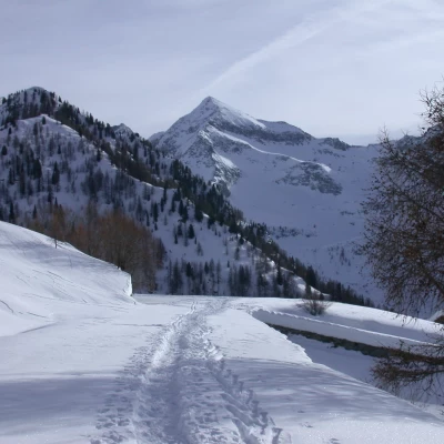
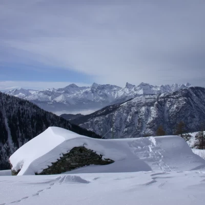
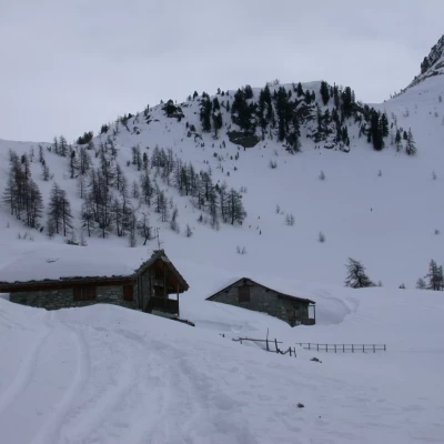
Wearing snowshoes, follow the snow-covered road in the direction of Mont Ciosé (2664 m) and then turn to the right until you reach the snow cone of an avalanche. Pass this 'delicate' passage when the snowpack is unstable and continue southwards, passing a gully, which is also subject to avalanche fall. The road finally reaches the Alpe Praz-Barmasse (1927 m, 0h25'): from here, there is a fine view of Mont Nery, the Mont Avic, the Tersiva and Mont Glacier.
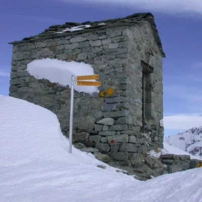
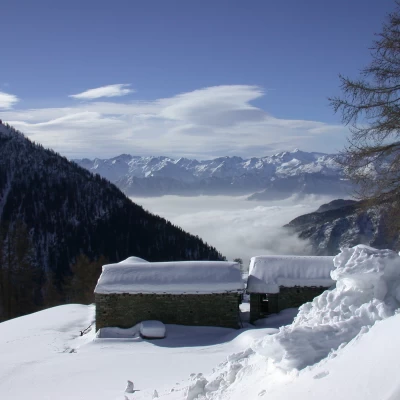
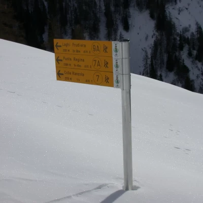
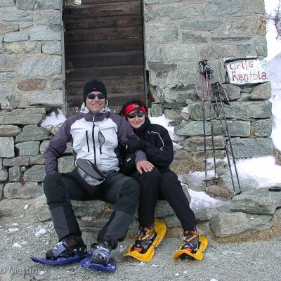
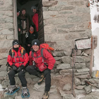
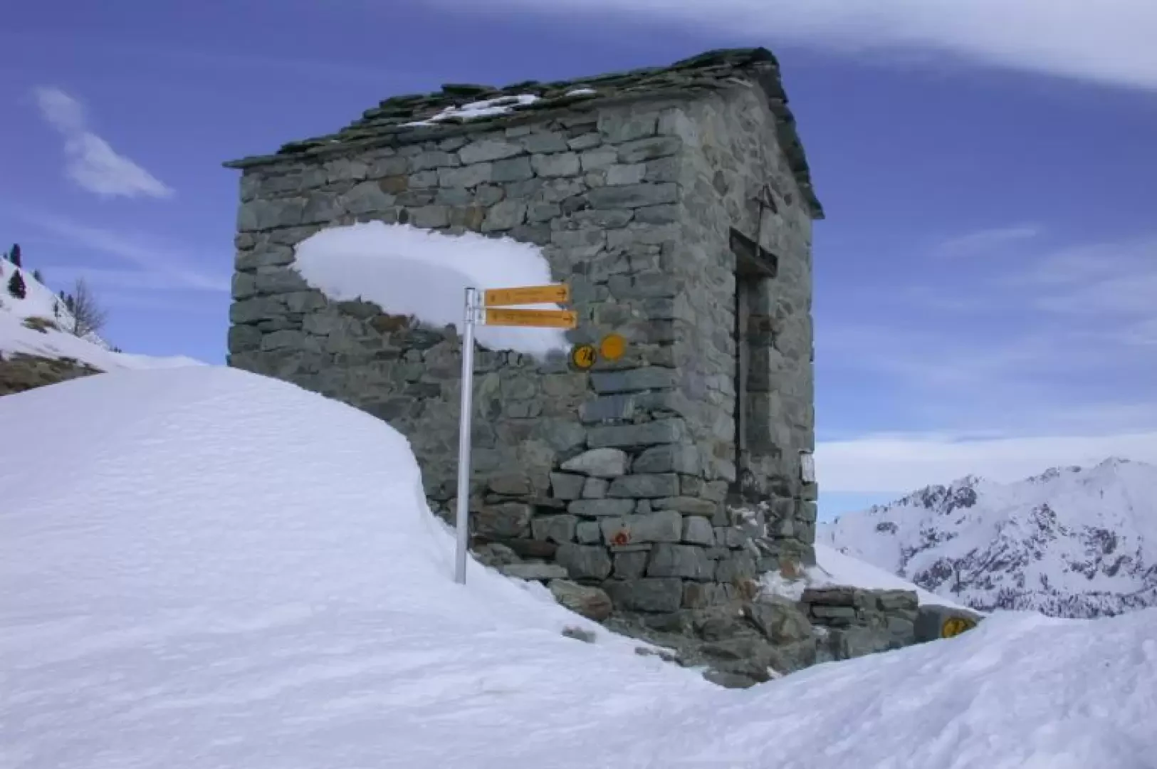
At the height of the huts, the route turns to the left and, comforted by a signpost half-buried by snow, heads decisively towards the crest of the pass and the Punta Regina (2388m). Proceed along the track that follows the gentle slope among the scattered larches; a couple of hairpin bends allow you to gain altitude slightly and then cross a long semi-flat stretch. Leaving a small restructured hut on the left, you reach Alpe Fenêtre (2087 m, 0h55'): ignore the signpost and go up the slope leaving the first hut on the left; go up the slope below the pass keeping to the left, after an initial fairly gentle section the path steepens just in view of the deconsecrated chapel located on the slope: you finally reach Col Ranzola (2170 m, 1h15').
The descent follows the same route as the ascent.
At Col Ranzola there is a commemorative plaque in memory of the Russian poet Tolstoy, who crossed the pass back in 1857.
