Leave the motorway junction at Châtillon, turn left and continue for about 300m until you come to a roundabout: take the third exit and continue straight on Via E. Chanoux. Cross the historic centre of Châtillon for about 600m and then turn slightly right onto Via Menabreaz to follow for 450m to the characteristic roundabout with the "Matterhorn" inside. Take the second exit and take the Valtournenche road for about 7.6km to Antey-Saint-André, where you turn right onto the to La Magdeleine. Climb up the regional road for about 7.8km until you reach the main town of Brengon. Drive past the parish church and, after a few hundred metres, park your car in the covered car park 🅿️ at Vieu. If the car park is full, you can continue along the little communal road that a little further on has pay parking spaces on the edge of it (6€ per day from 8 a.m. to 5.30 p.m. - coin or easypark).
[0h25'] - [17.1km] How to get there with GMaps How to get there with Apple Maps
These indications are based on direct verification at the time of the survey of the route so the information should be verified before starting the hike. We recommend using a GPS navigator or map app on your smartphone to get up-to-date and detailed directions.
Introduction
This is a demanding but rewarding hike in panoramic terms. The ascent to Col Pillonet is divided into two stages: the first up to Champlong presents no particular difficulties and is extremely pleasant, especially in the section before the alpine pasture; the second, much more demanding, offers a breathtaking panorama only at the pass after a steep climb.
Description
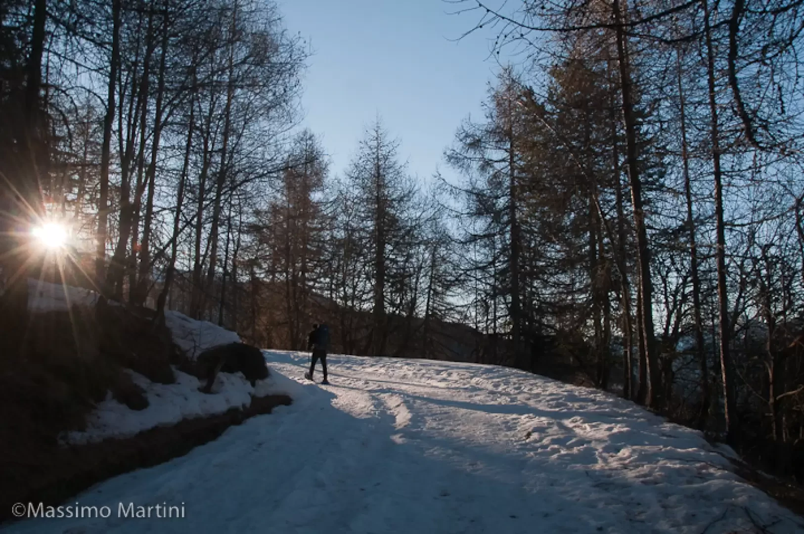
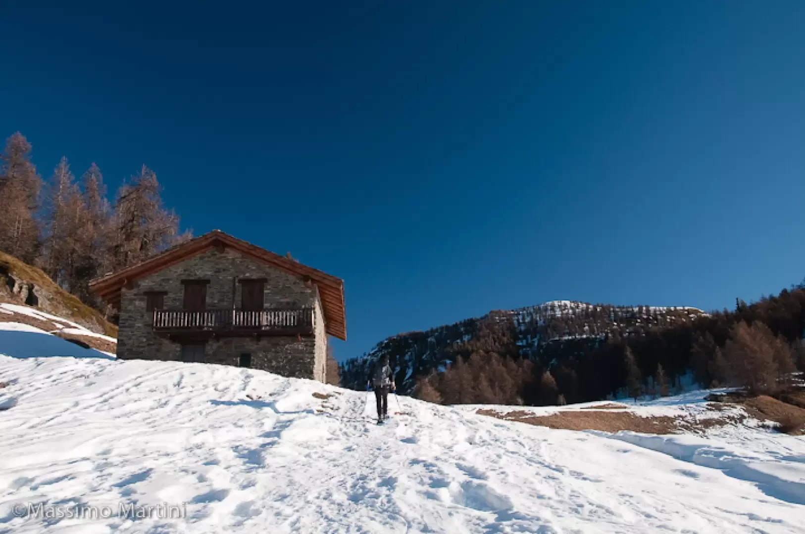
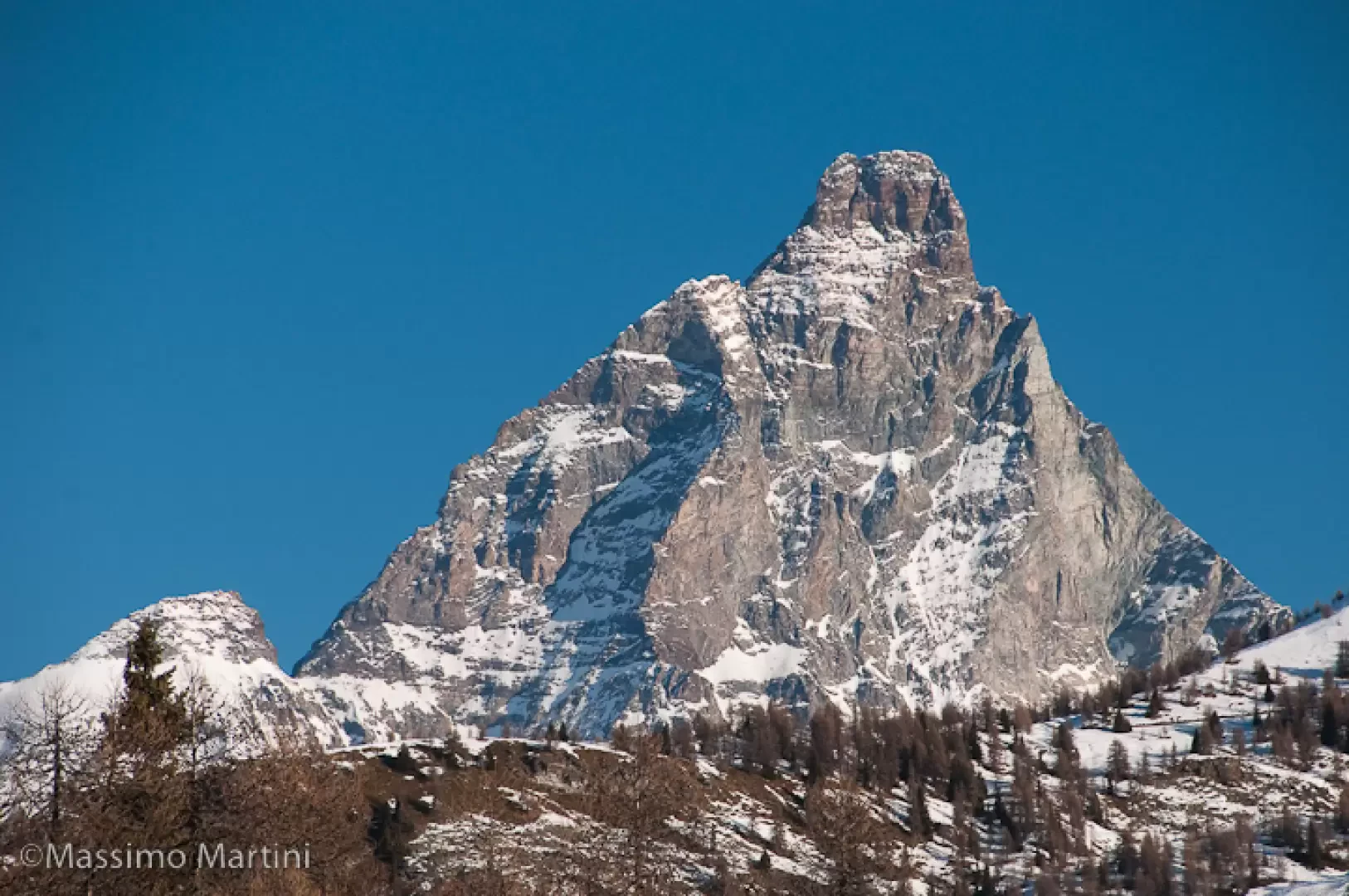
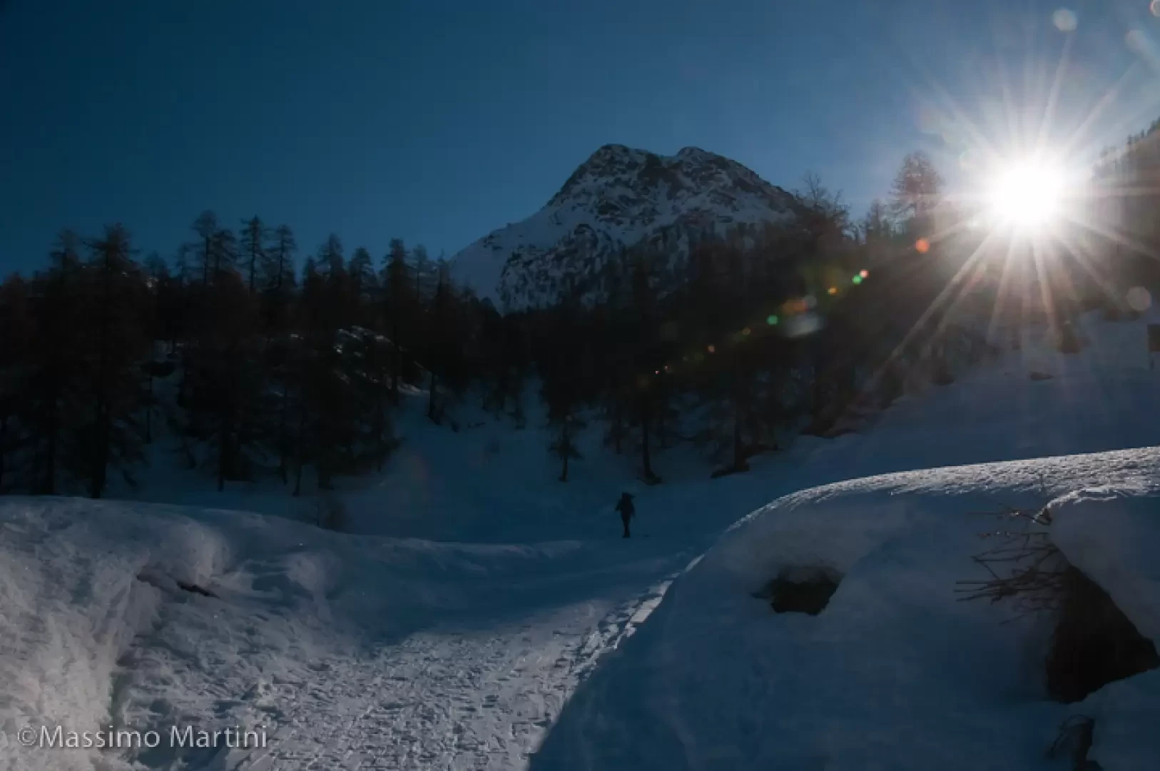
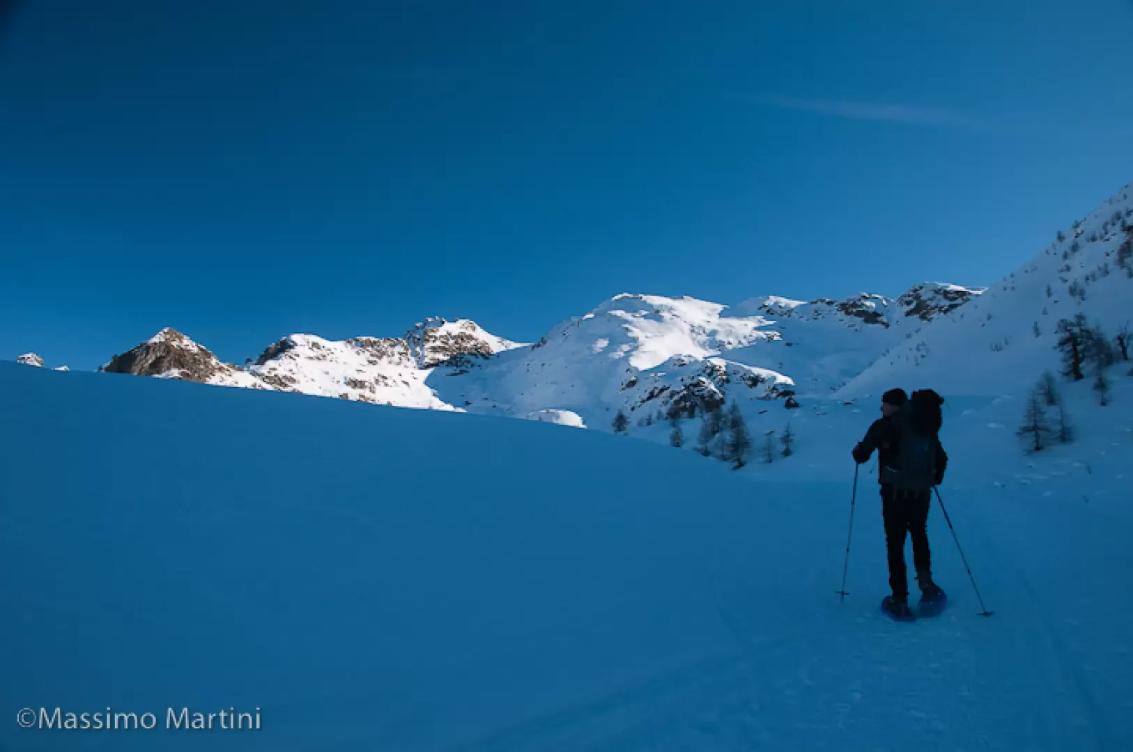
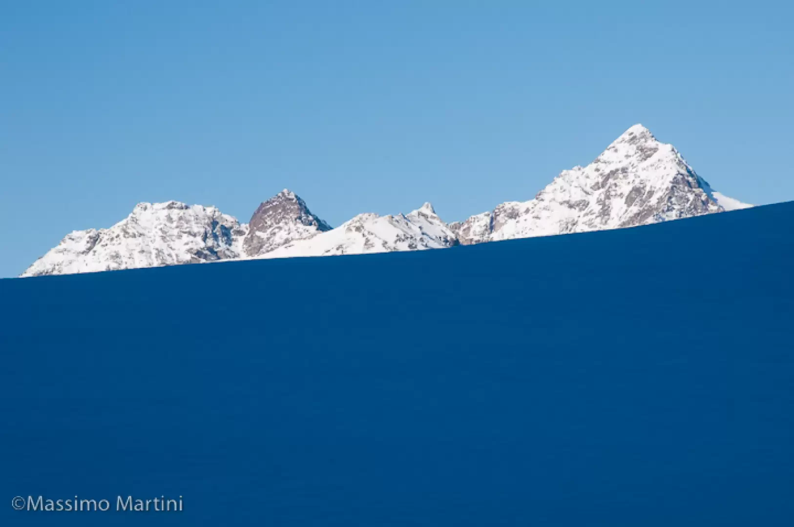
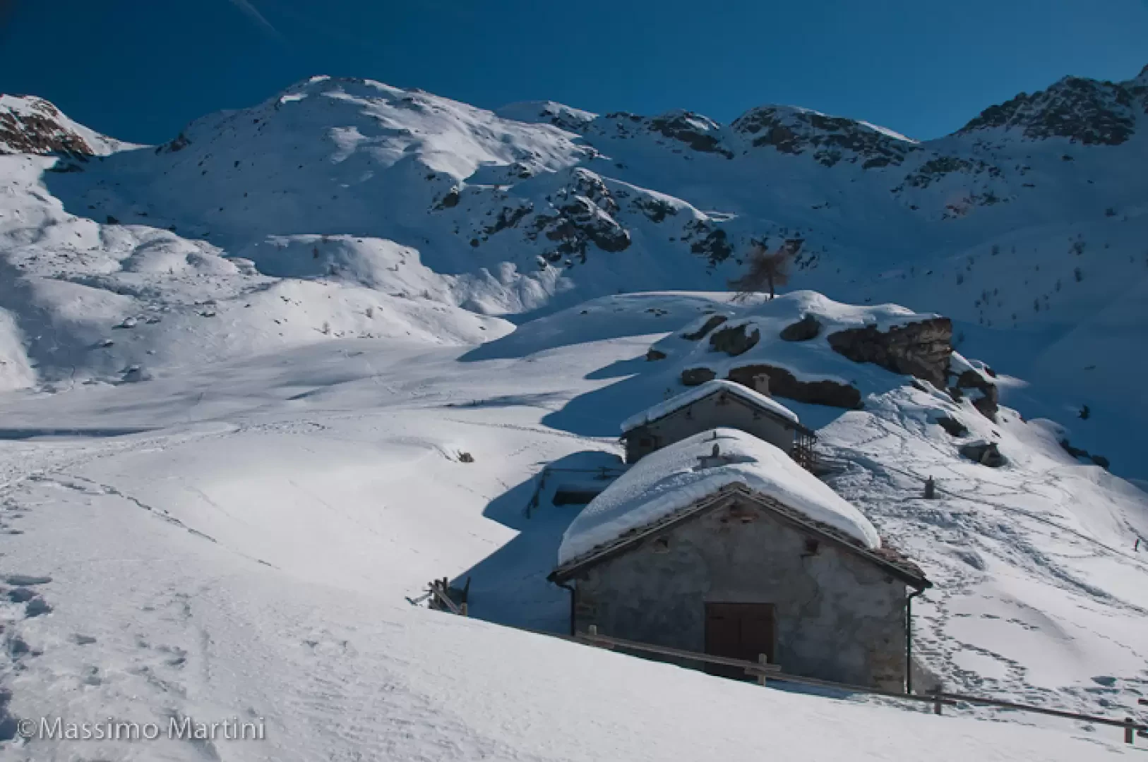
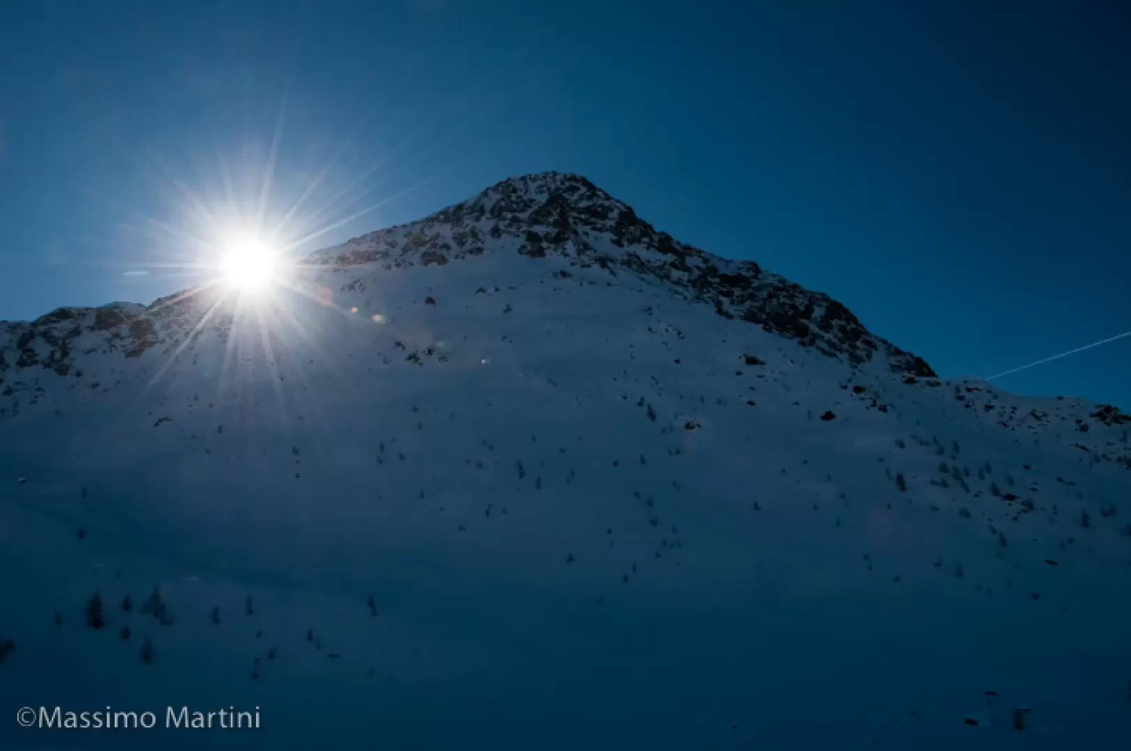
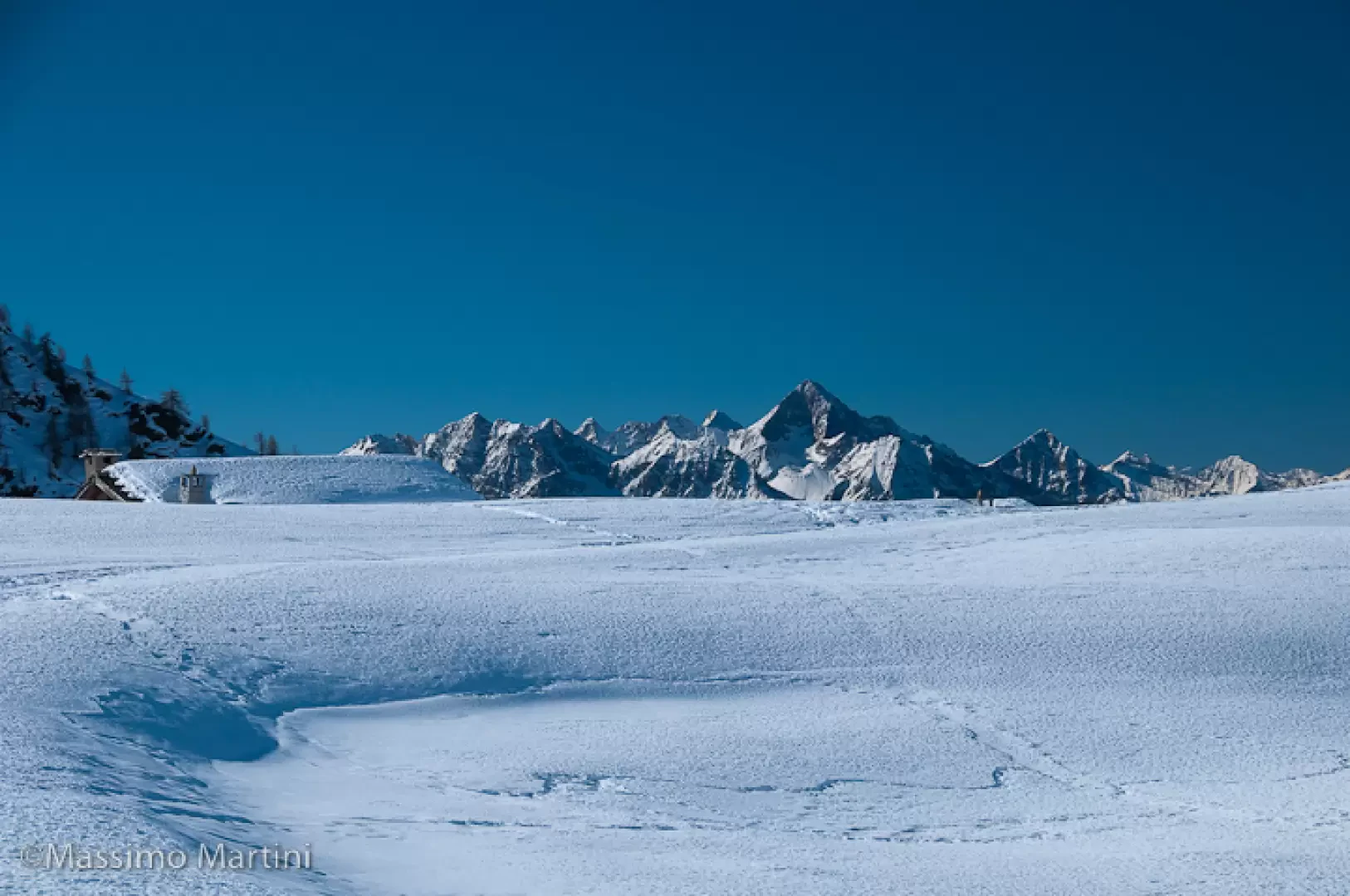
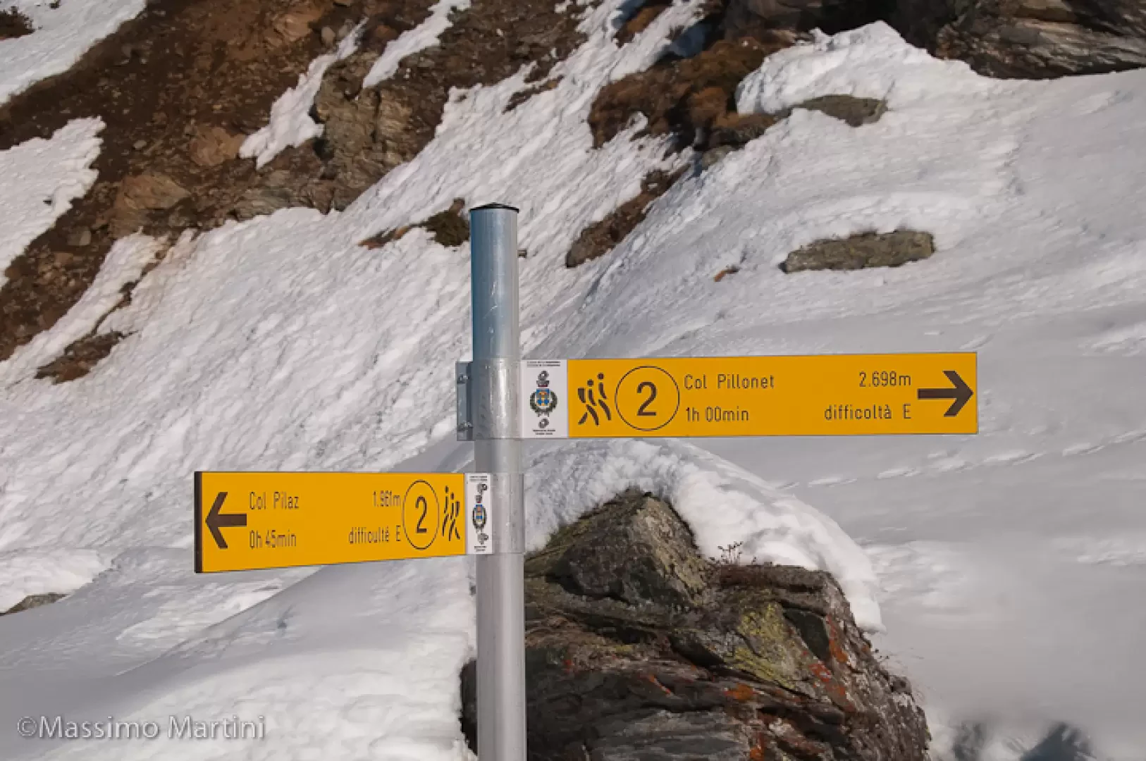
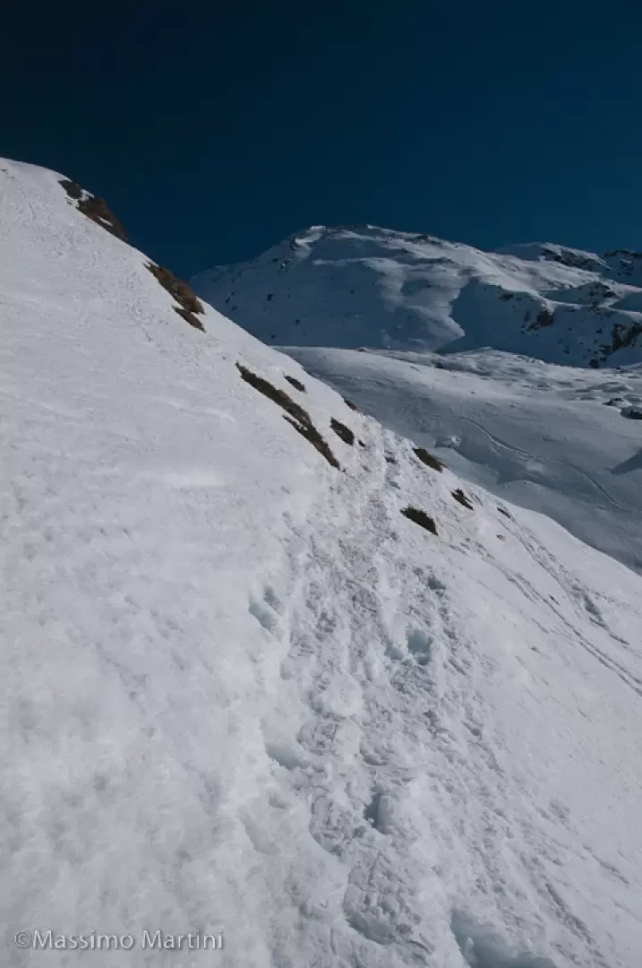
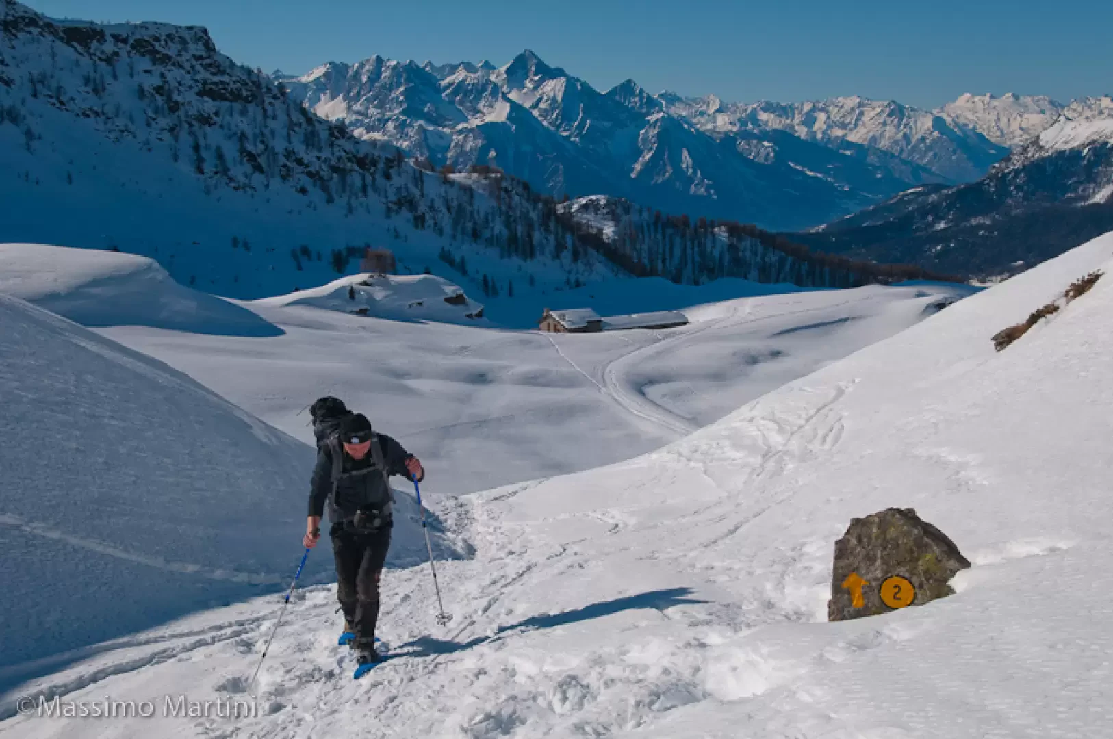
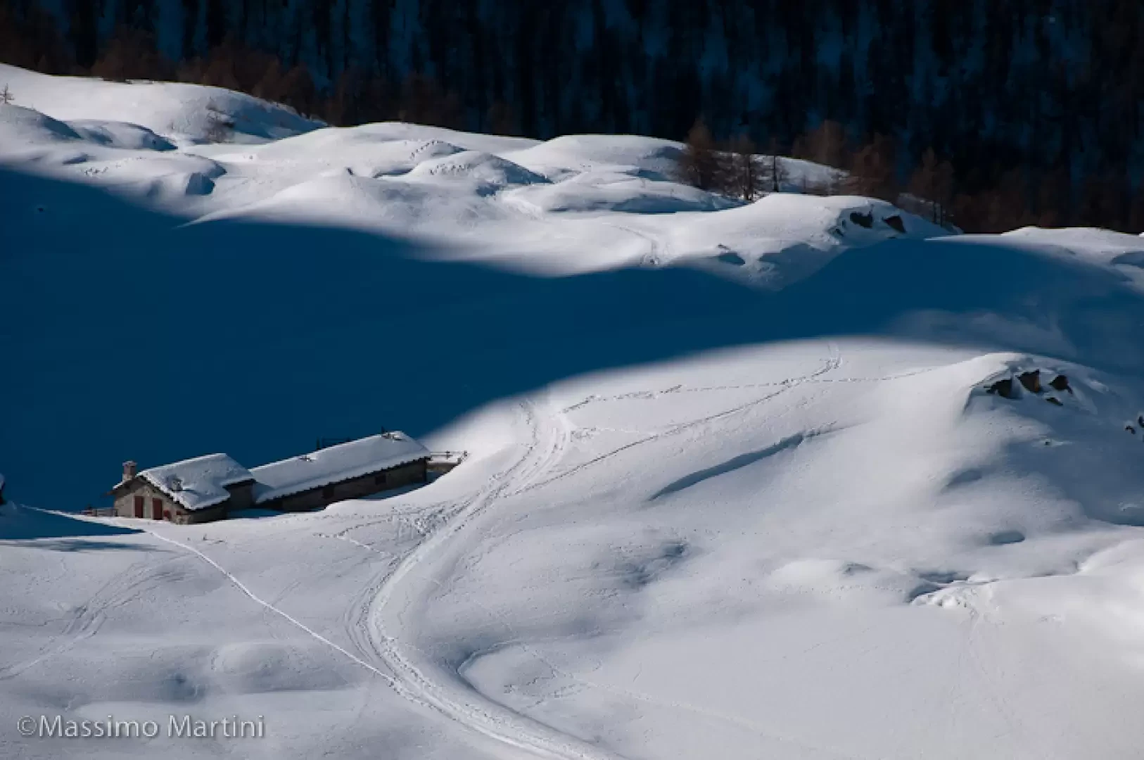
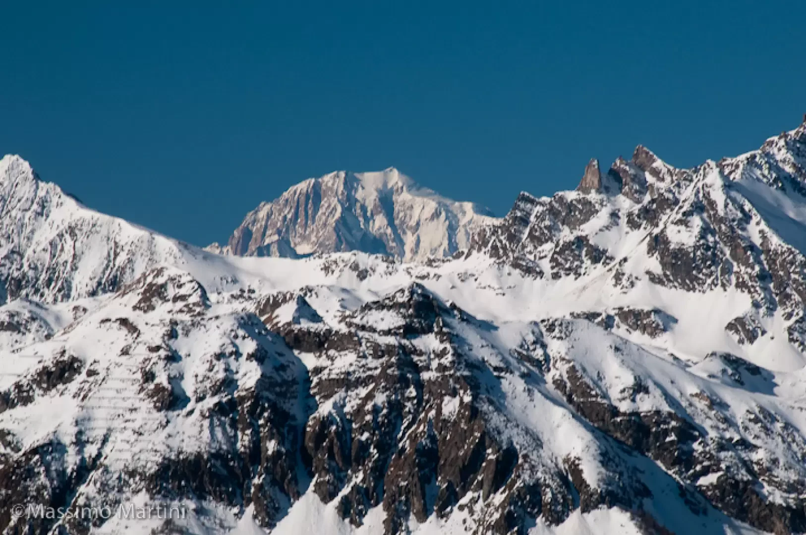
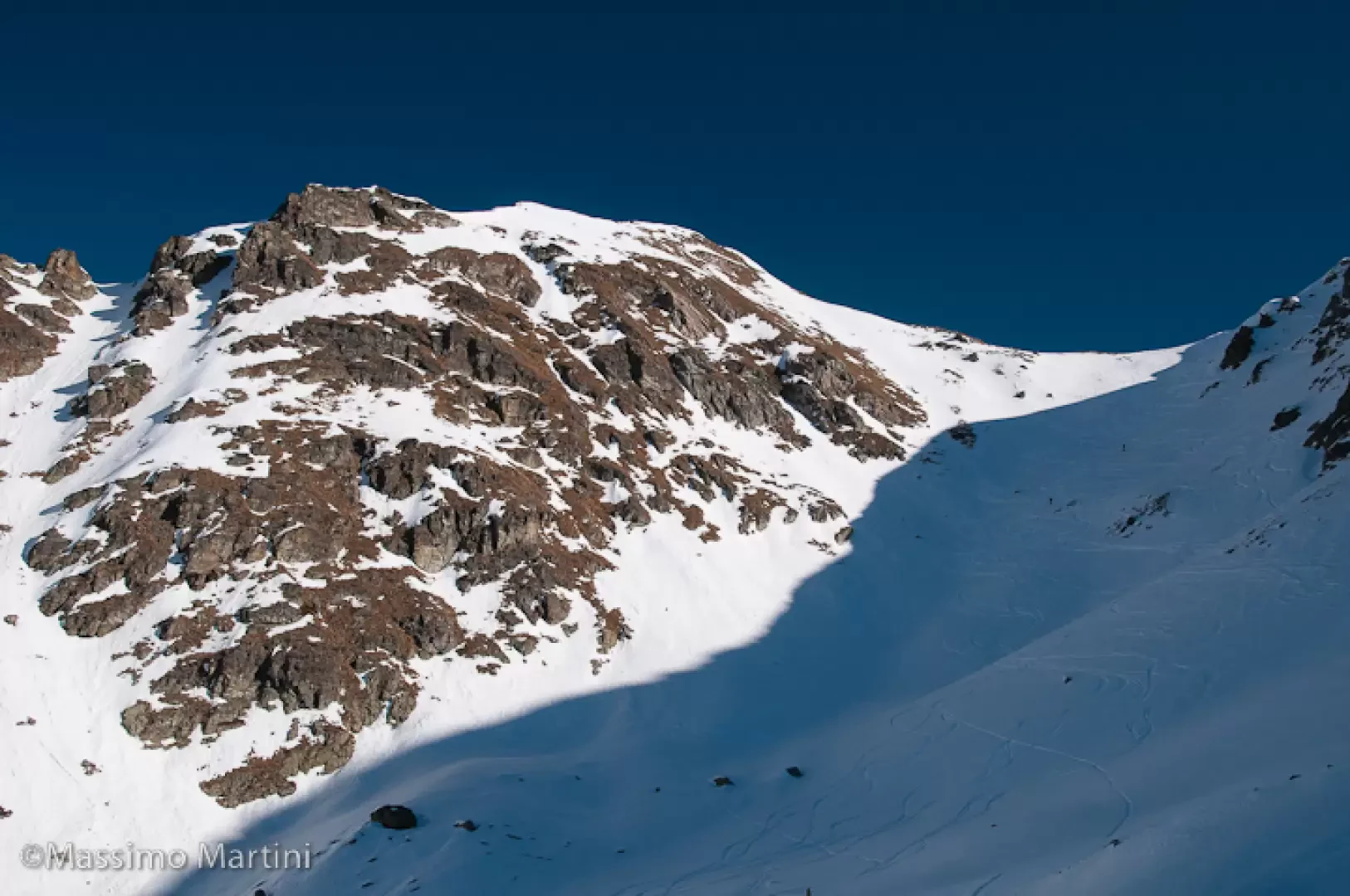
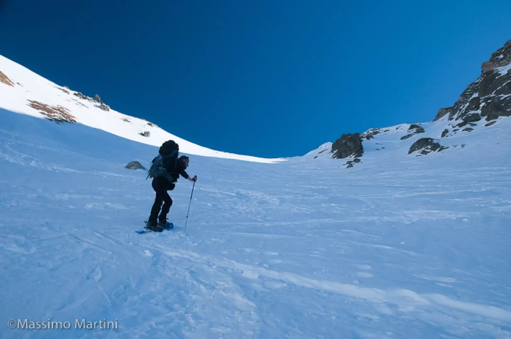
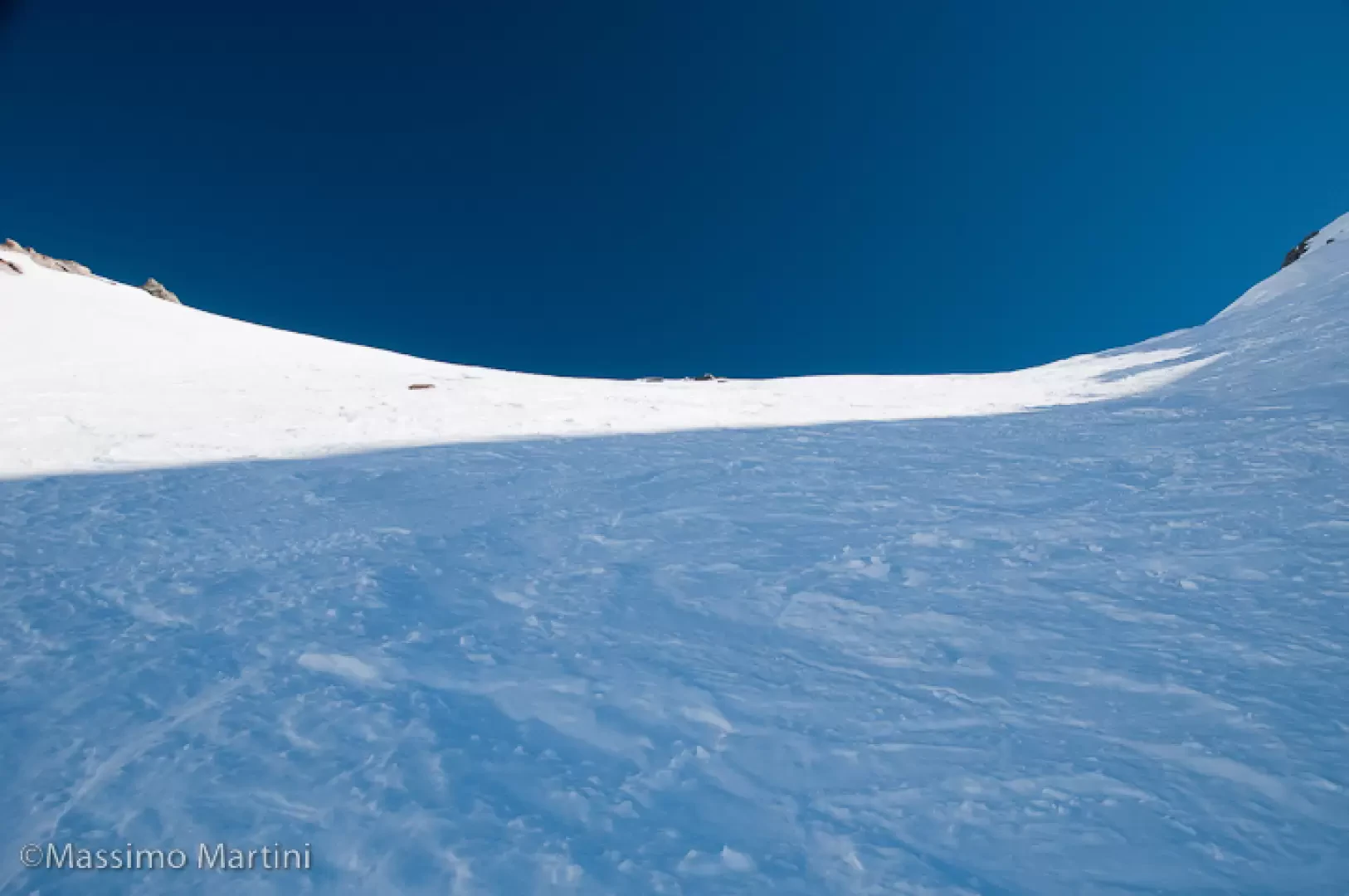
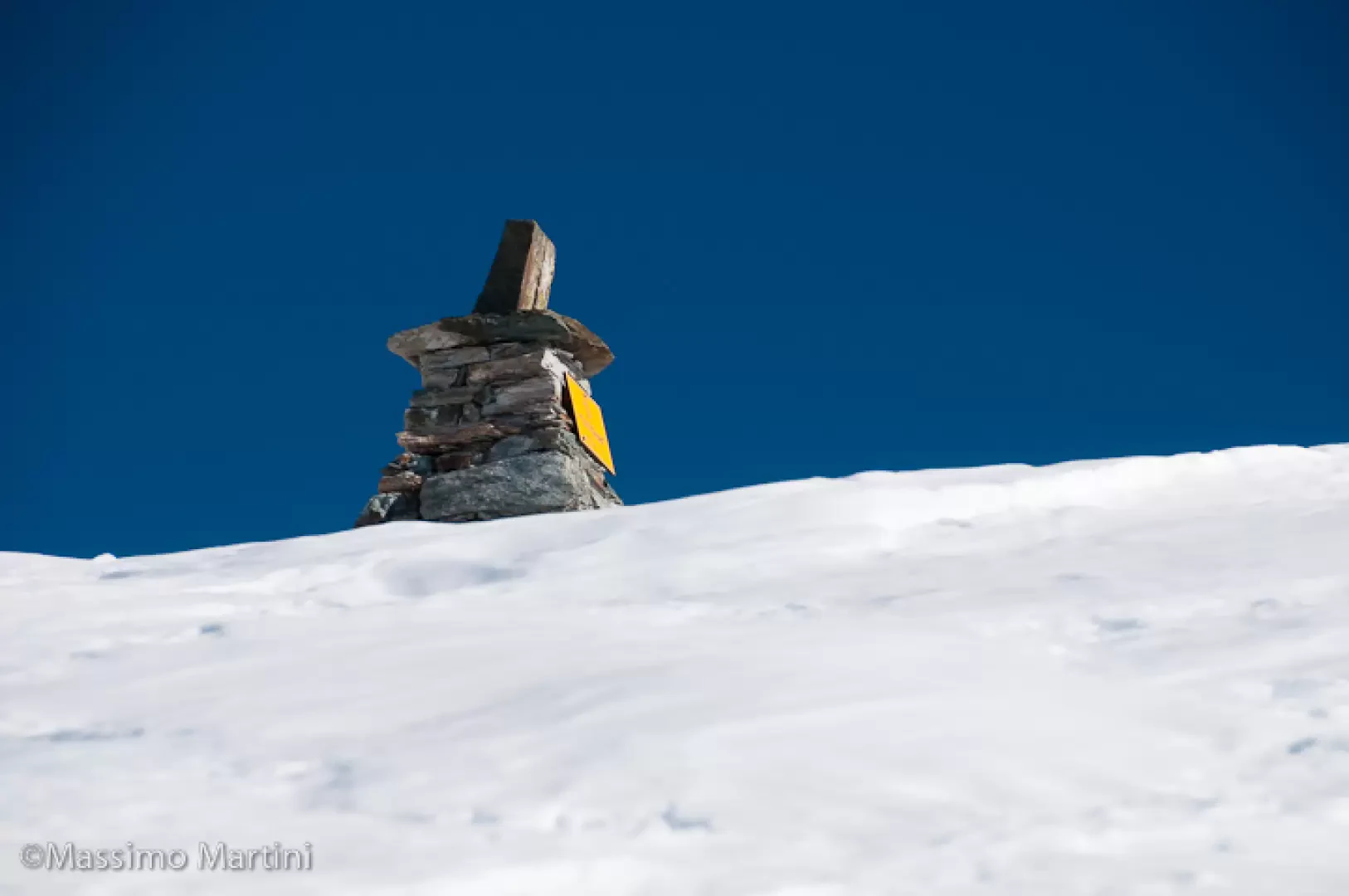
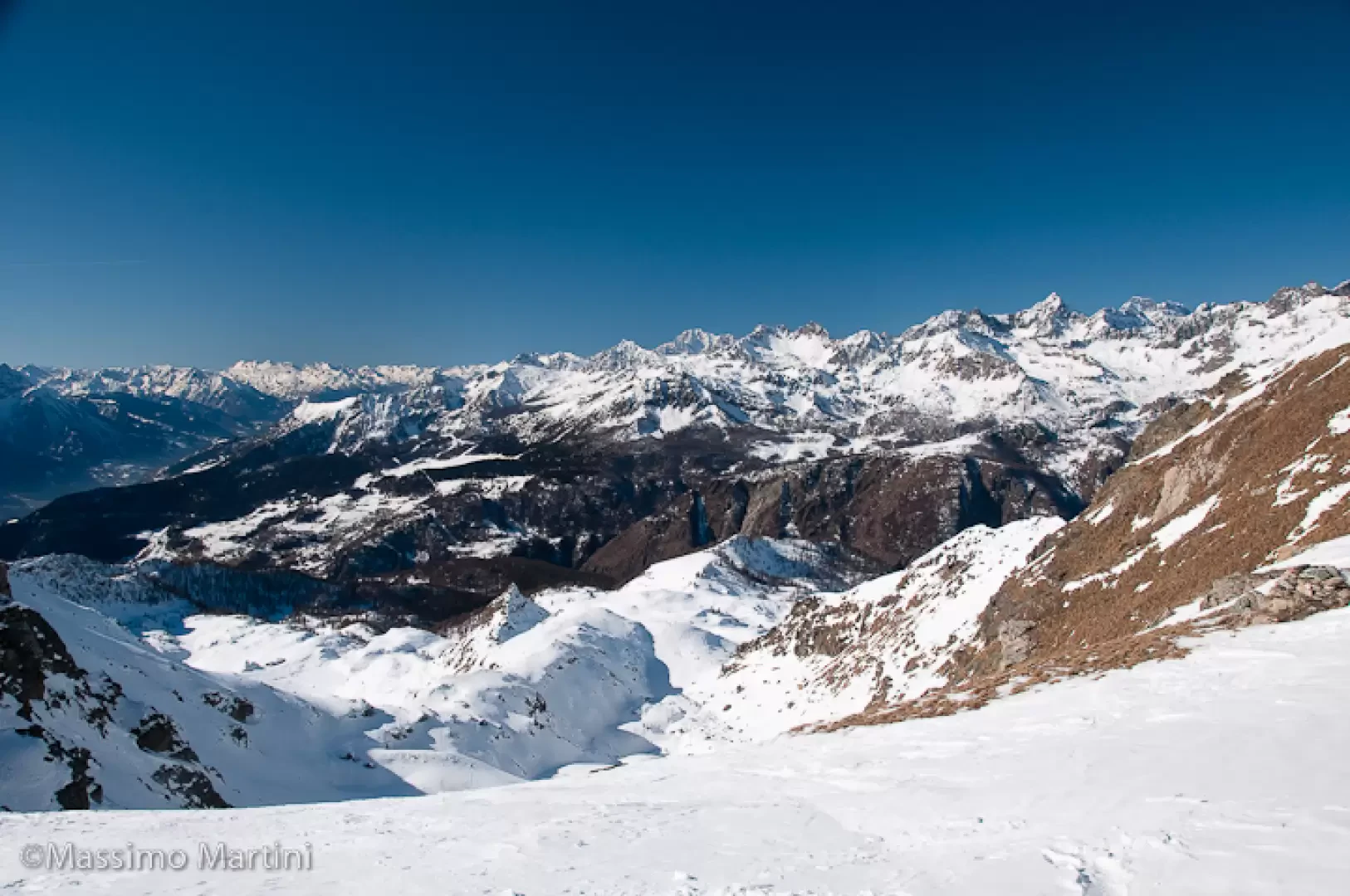
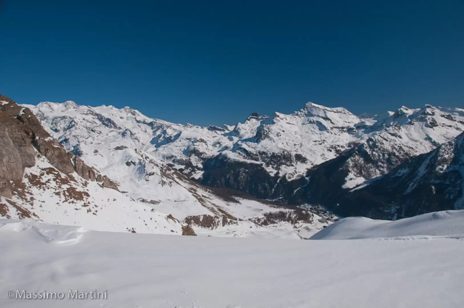
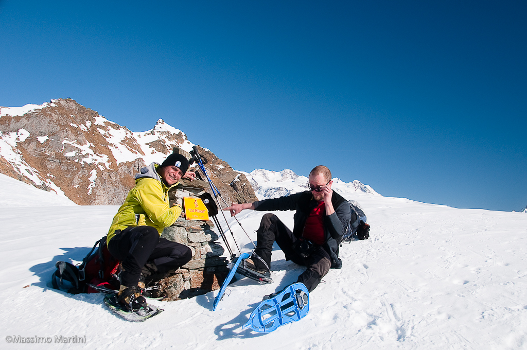
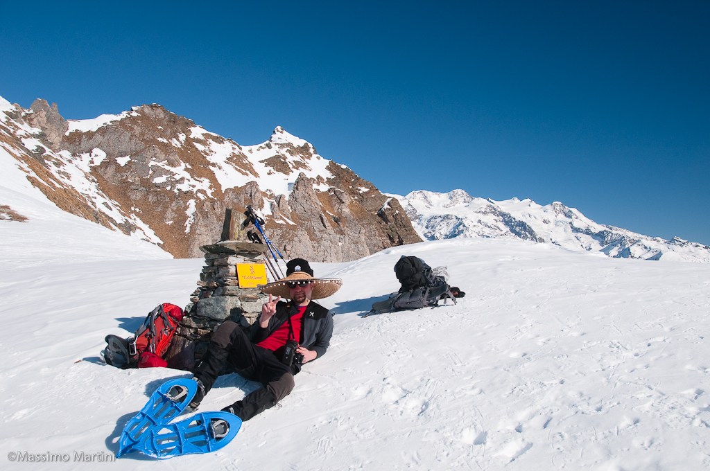
Leaving the car, proceed along the road to Col Pilaz for about 500m until you reach the first hairpin bend: leave the road, turning right. Cross the barrier and continue in an open field, keeping to the traces of the summer path; after a short flat stretch, start to climb a short ascent until reaching the cottages of Landasse (1836m, 0h15). Still in the presence of Mont Tantané, continue the ascent in the direction of the pass just above. Following the tracks, if there are any, or simply going straight ahead, you will first reach the Valery cottages (1909m, 0h30') and a little further on, the Pilaz cottages, which finally precede Col Pilaz (1962m, 0h45'). From the pass, turn right and start walking along the track that, after a few hundred metres, enters the larch forest. After an initial hitch, the ascent continues steadily and leads first to the ruins of Charey desot, which can be seen on the right, and then, after passing a short plateau, to the Charey damon mountain pasture (2241m, 1h30'). The walk continues past the mountain pasture to the edge of a wide plateau and then turns right following the summer track. We climb a short step, making a wide curve to the left until we reach the plateau that precedes the mountain pasture. The scenery from here on is decidedly idyllic, continuous ups and downs amidst the chiaroscuro that winter can draw in these parts. The destination of the hike is finally reached, the Champlong alp (2321m, 2h00'). After a much-needed pause to contemplate the beauty of the place, continue to the left, bypassing the lake (not always easy to see) until you reach a signpost: turn right and follow the signs for the pass. In the first section, cross a short slope and then enter a valley to be followed in an easterly direction. Outside the valley, continue the ascent with a series of rapid turns until you reach a saddle that overlooks the valley on the side of Chamois. A short traverse takes you to the final slope, which is tackled on a vertical line (with snow-bearing snow) or with short turns that do not involve awkward traverses. In the last few metres, the gradient (20-25°) decreases and we finally reach Col Pillonnet (2698m, 3h15') with its extraordinary panorama of the Monte Rosa massif on the east side and all the peaks of the western Aosta Valley on the west side. The return is along the same route as the outward journey (2h15').


Comments (0)
Sign in to leave a comment