Leave the motorway junction at Châtillon, turn left and continue for about 300m until you come to a roundabout: take the third exit and continue straight on Via E. Chanoux. Cross the historic centre of Châtillon for about 600m and then turn slightly right onto Via Menabreaz to follow for 450m to the characteristic roundabout with the "Matterhorn" inside. Take the second exit and take the Valtournenche road for about 7.6km to Antey-Saint-André, where you turn right onto the to La Magdeleine. Climb up the regional road for about 7.8km until you reach the main town of Brengon. Drive past the parish church and, after a few hundred metres, park your car in the covered car park 🅿️ at Vieu. If the car park is full, you can continue along the little communal road that a little further on has pay parking spaces on the edge of it (6€ per day from 8 a.m. to 5.30 p.m. - coin or easypark).
[0h25'] - [17.1km] How to get there with GMaps How to get there with Apple Maps
These indications are based on direct verification at the time of the survey of the route so the information should be verified before starting the hike. We recommend using a GPS navigator or map app on your smartphone to get up-to-date and detailed directions.
Introduction
One of the most beautiful snowshoe routes in the Aosta Valley. With good snow conditions, this circular route manages to offer the essence of walking in winter.
Description
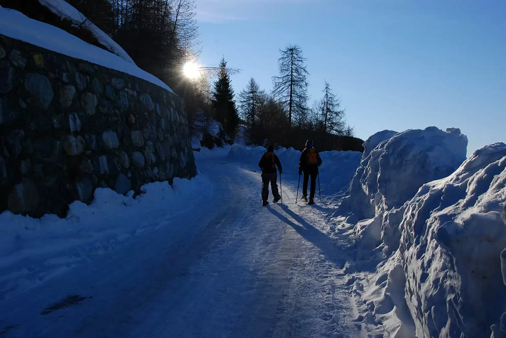
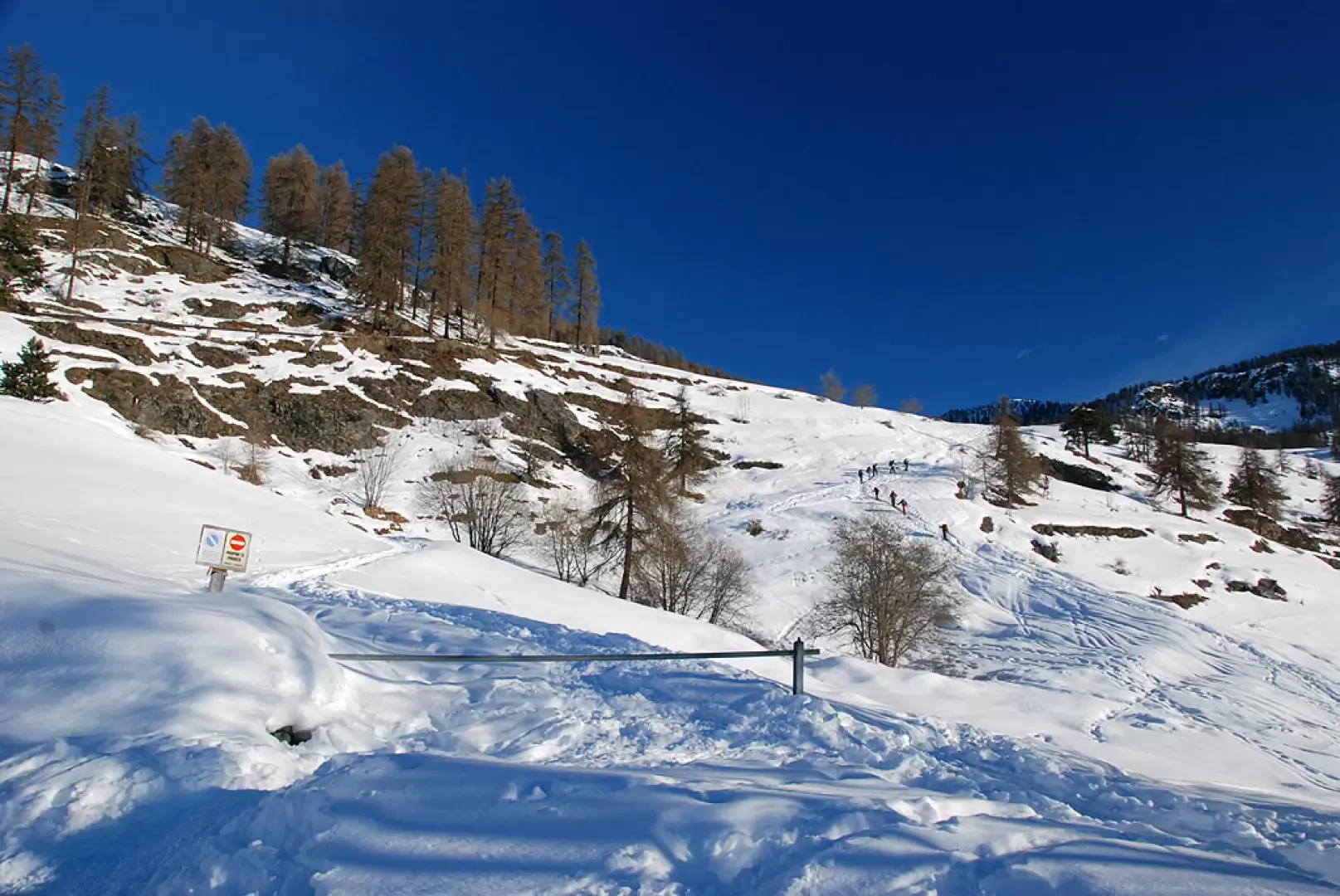
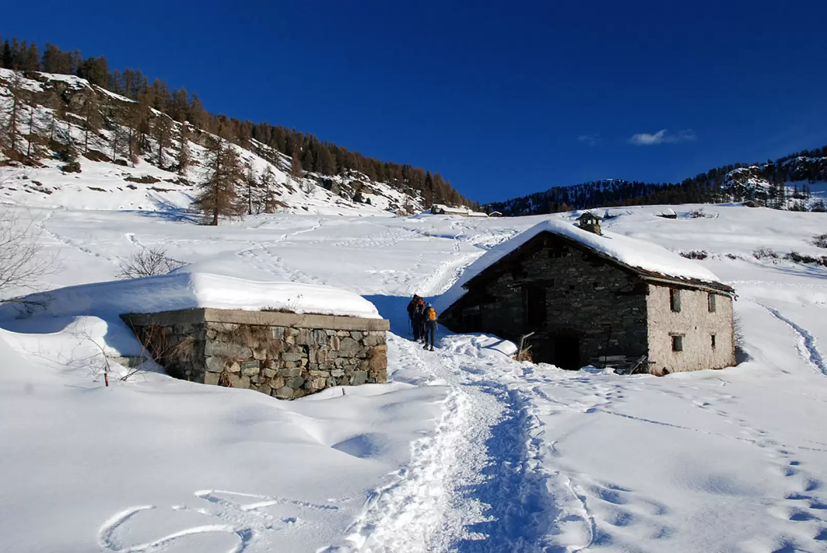
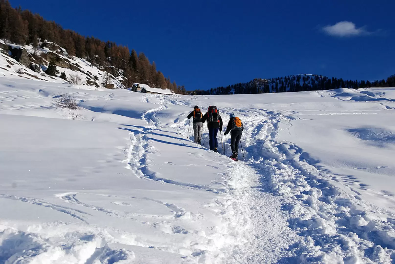
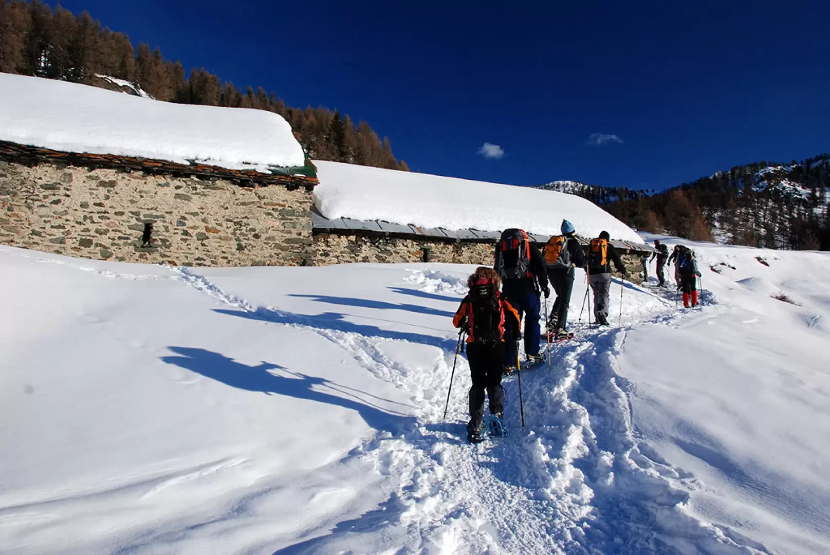
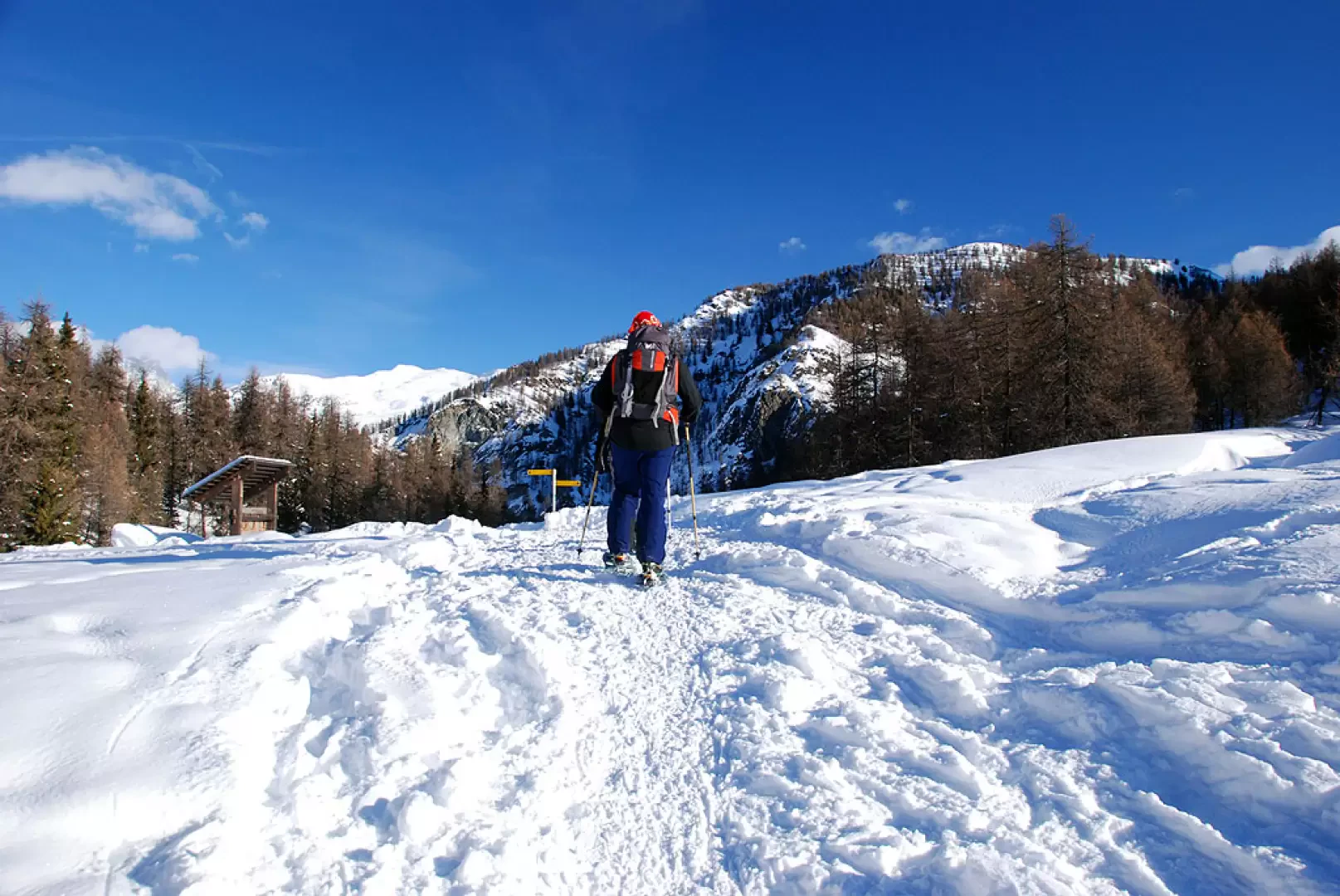
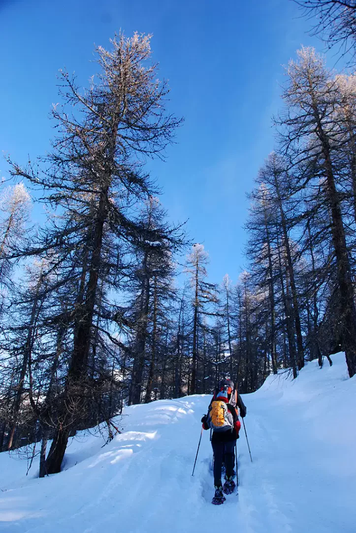
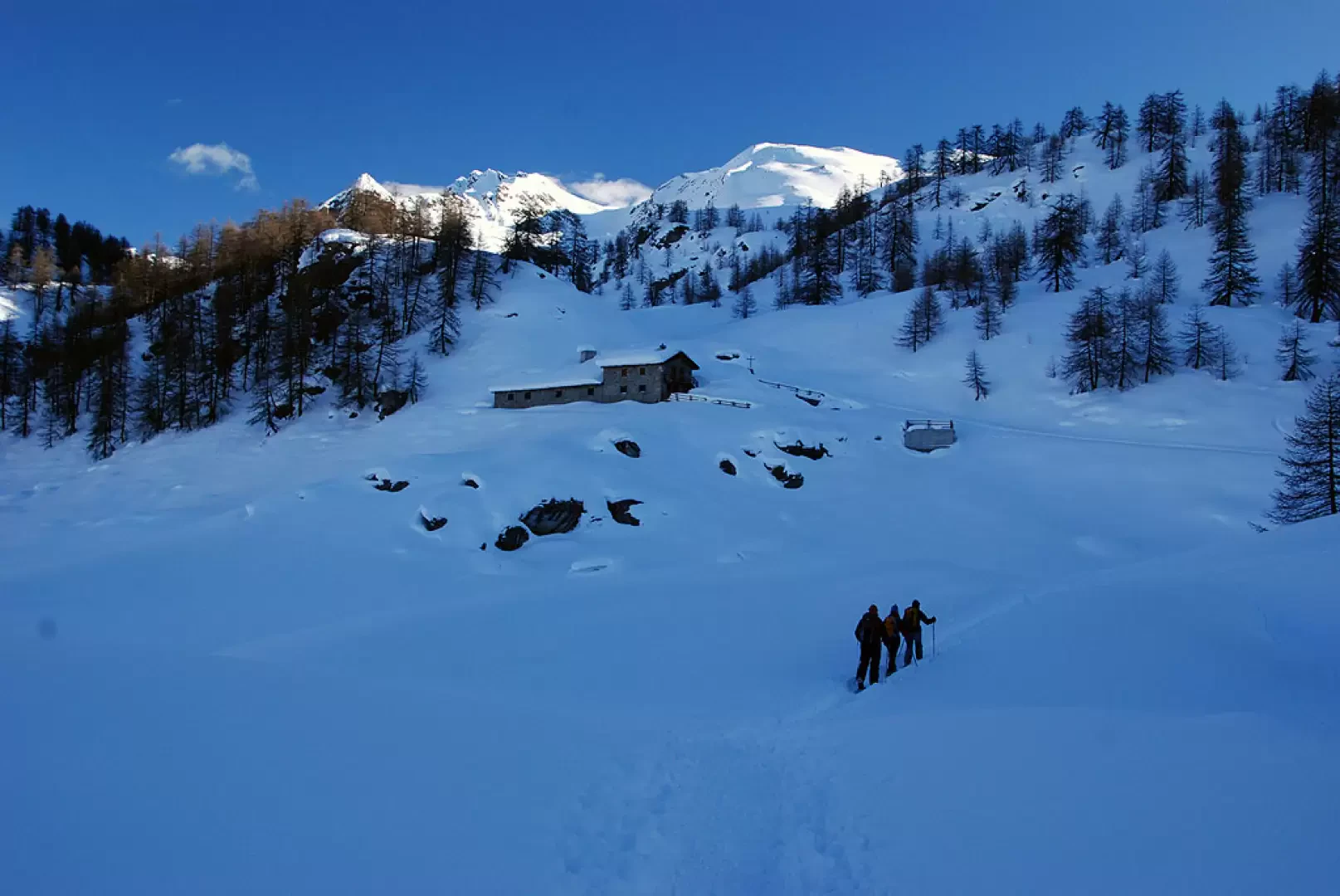
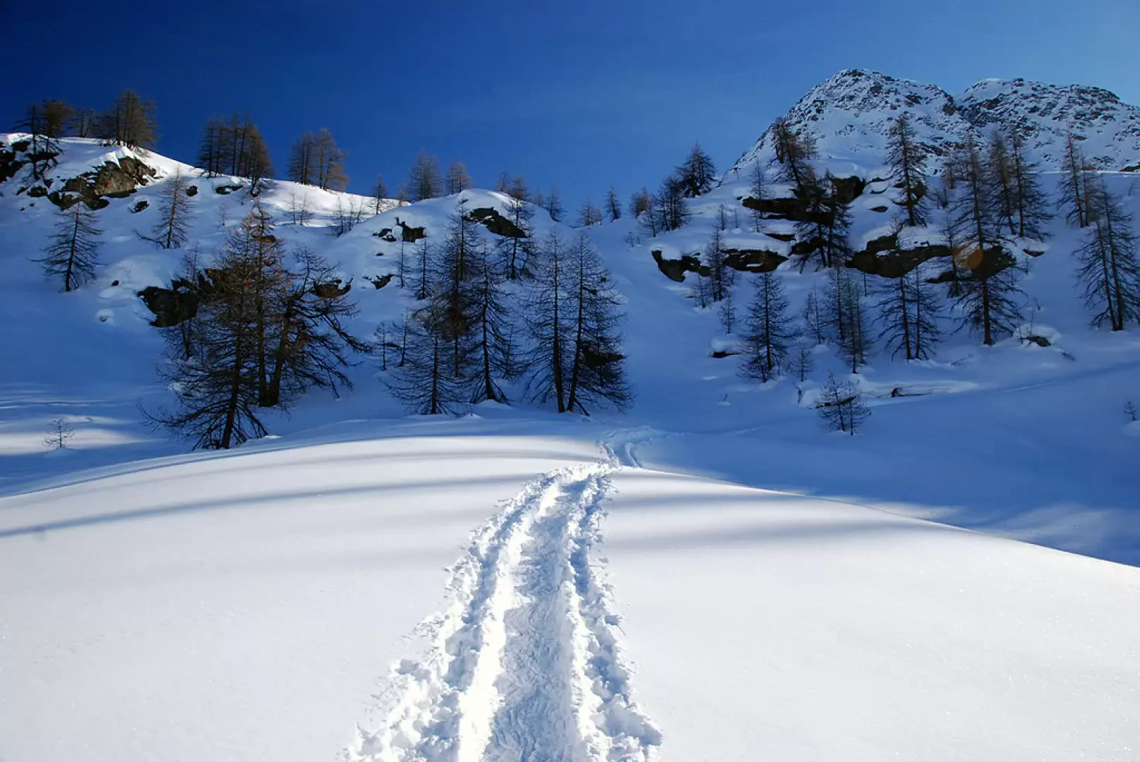
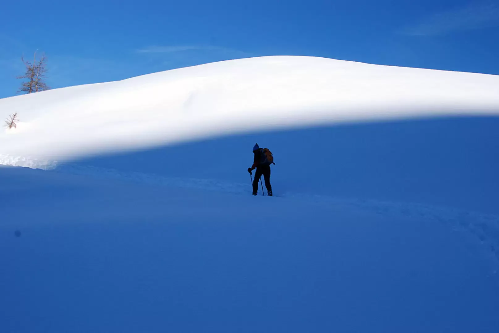
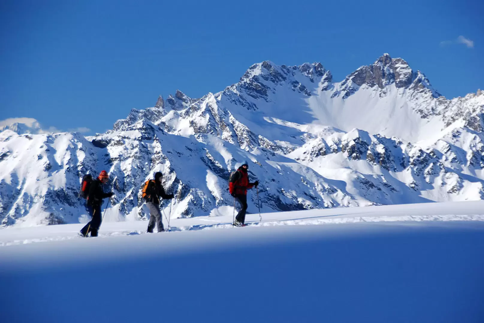
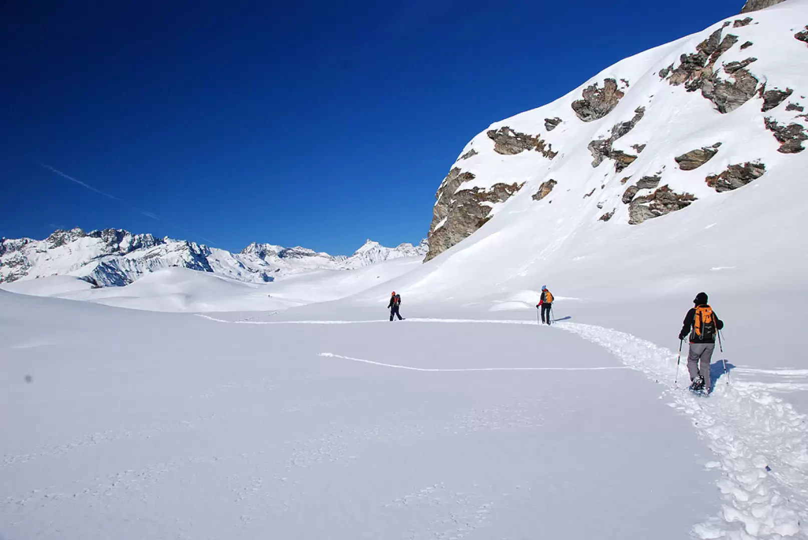
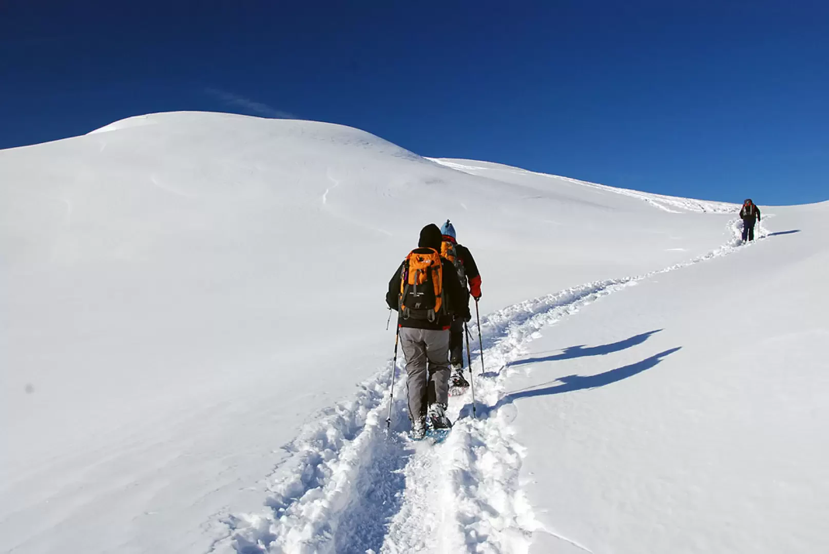
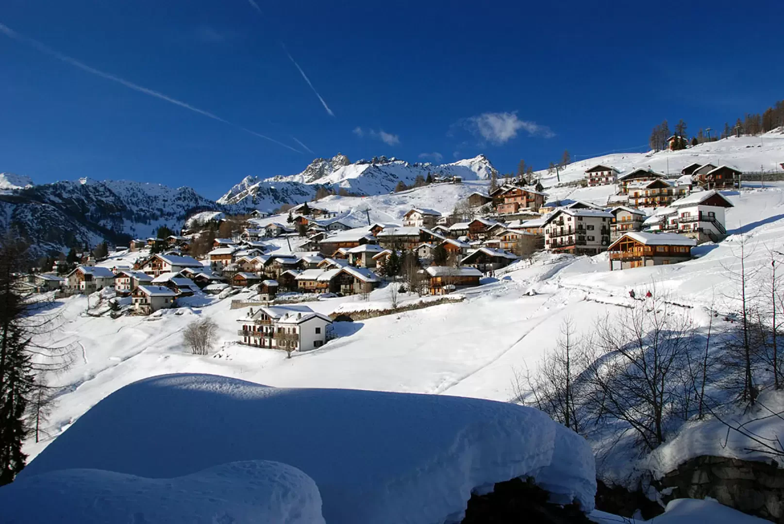
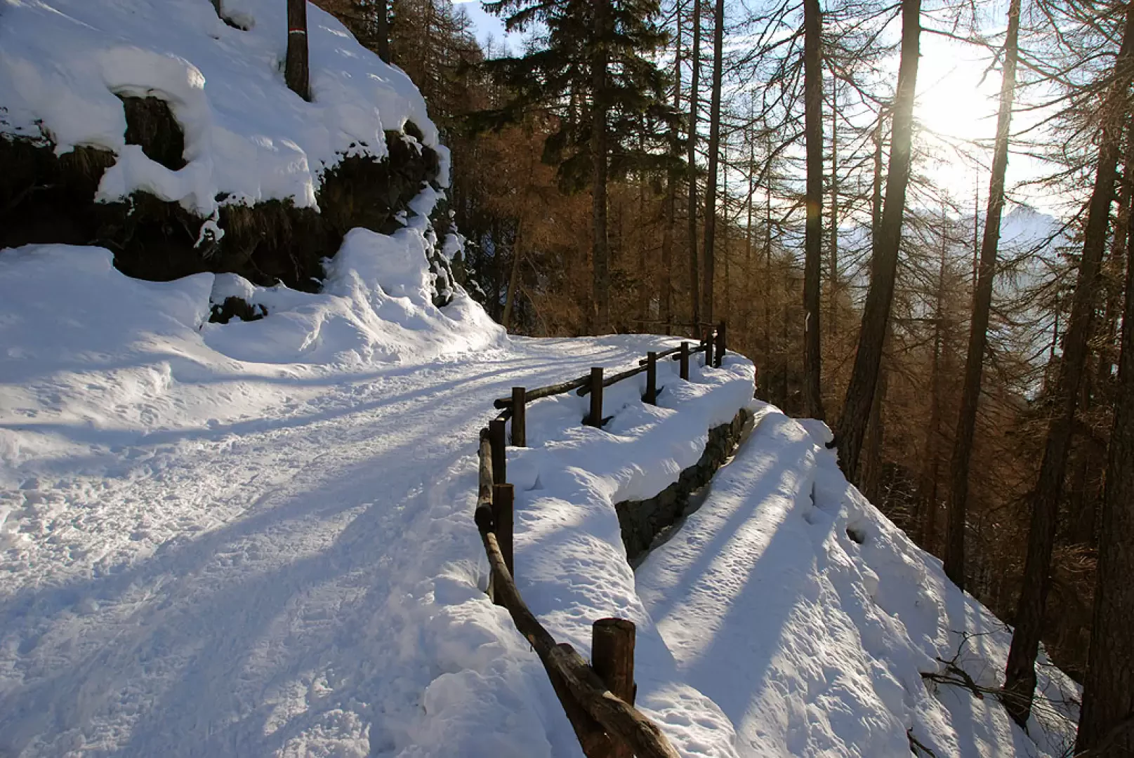
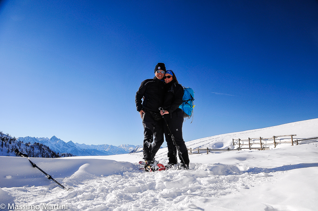
Leaving the car, proceed along the road to Col Pilaz for about 500m until you reach the first hairpin bend: leave the road, turning right. Cross the barrier and continue in an open field, keeping to the traces of the summer path; after a short flat stretch, start to climb a short ascent until reaching the cottages of Landasse (1836m, 0h15). Still in the presence of Mont Tantané, continue the ascent in the direction of the pass just above. Following the tracks, if there are any, or simply going straight ahead, you will first reach the Valery cottages (1909m, 0h30') and a little further on, the Pilaz cottages, which finally precede Col Pilaz (1962m, 0h45'). From the pass, turn right and start walking along the track that, after a few hundred metres, enters the larch forest. After an initial hitch, the ascent continues steadily and leads first to the ruins of Charey desot, which can be seen on the right, and then, after passing a short plateau, to the Charey damon mountain pasture (2241m, 1h30'). The walk continues past the mountain pasture to the edge of a wide plateau and then turns right following the summer track. You climb a short step, making a wide curve to the left until you reach the plateau that precedes the mountain pasture. The scenery from here on is decidedly idyllic, continuous ups and downs amidst the chiaroscuro that winter can draw in these parts. The destination of the hike is finally reached, the Champlong alpine meadow (2321m, 2h00'). Of course, the route can end here, retracing your steps... but I highly recommend continuing the route to Chamois, in an extremely evocative circular circuit. From the alpine meadow, head northwards, passing at the foot of a rocky spur, and after a nice diagonal descent, you head towards Chamois. We begin to descend along the track, first taking us near Cort (2184m) and a little further on reaching Foresus (2070m, 3h00'): here we turn right and follow a short stretch of track to a fork, turn left and begin the descent towards Chamois. You lose about 200m along the edge of a little stream until you meet another fork: now turn right and head towards the villages; you pass Crepin and finally reach Chamois (1836m, 4h00'). The last part of the circuit is along the pedestrian track that from Chamois leads to La Magdeleine, 4 and a half kilometres practically flat. At the end of the pedestrian path you reach again the road to Col Pilaz, turn right and go back to the starting point (1700m, 5h00').
Prima gita dell'anno in una giornata davvero splendida. Abbiamo optato per la pista poderale per il Col Pilaz che garantiva un innevamento costante. Abbiamo raggiunto il Col Pilaz in circa 50 minuti e abbiamo poi proseguito a Champlong sull'itinerario classico. Dopo Charey dàmon l'innevamento è copioso una vera e propria gioia per i ciaspolatori. Discesa sul medesimo itinerario sino al Col Pilaz poi abbiamo percorso il sentiero 1 sino alla stradina di salita: questo tratto è praticamente senza neve per cui al momento si consiglia di percorrere sia in andata che al ritorno la stradina di accesso al colle.
Informazioni generali
Condizioni via o sentiero: innevamento minimo alla partenza poi ottimo sopra i 2000m Pericolo Oggettivo: in occasione di questa uscita non sono state rilevate situazioni pericolose Tratti esposti: nessuno Rischio valanghe: 3 (marcato) da bollettino Affollamento: discreto
Condizioni meteo
Cielo: sereno Temperatura: sui 0° Condizioni neve: ottima in quota (2000m) in fusione


Comments (0)
Sign in to leave a comment