Leave the motorway and, after 450m, leave the motorway junction turning right onto the regional road for the Cogne valley. After 400m at the roundabout, take the second exit and enter the state road , to be followed for about 3km, passing through the village of Saint-Pierre, until you reach the village of Luboz. Turn right onto Via Corrado Gex (to be followed for 300m) and then turn right onto the regional road to be followed for about 7.7km until Saint-Nicolas and, just beyond the main centre, a crossroads: continue straight on the regional road following the signs for Vétan. When you reach Petit Sarriod, leave the regional road and turn left. Follow the communal road through the villages of Person, Grand-Sarriod, Gerbore until you reach, after 4.2km, Vétan and the large car park at the end of the road.
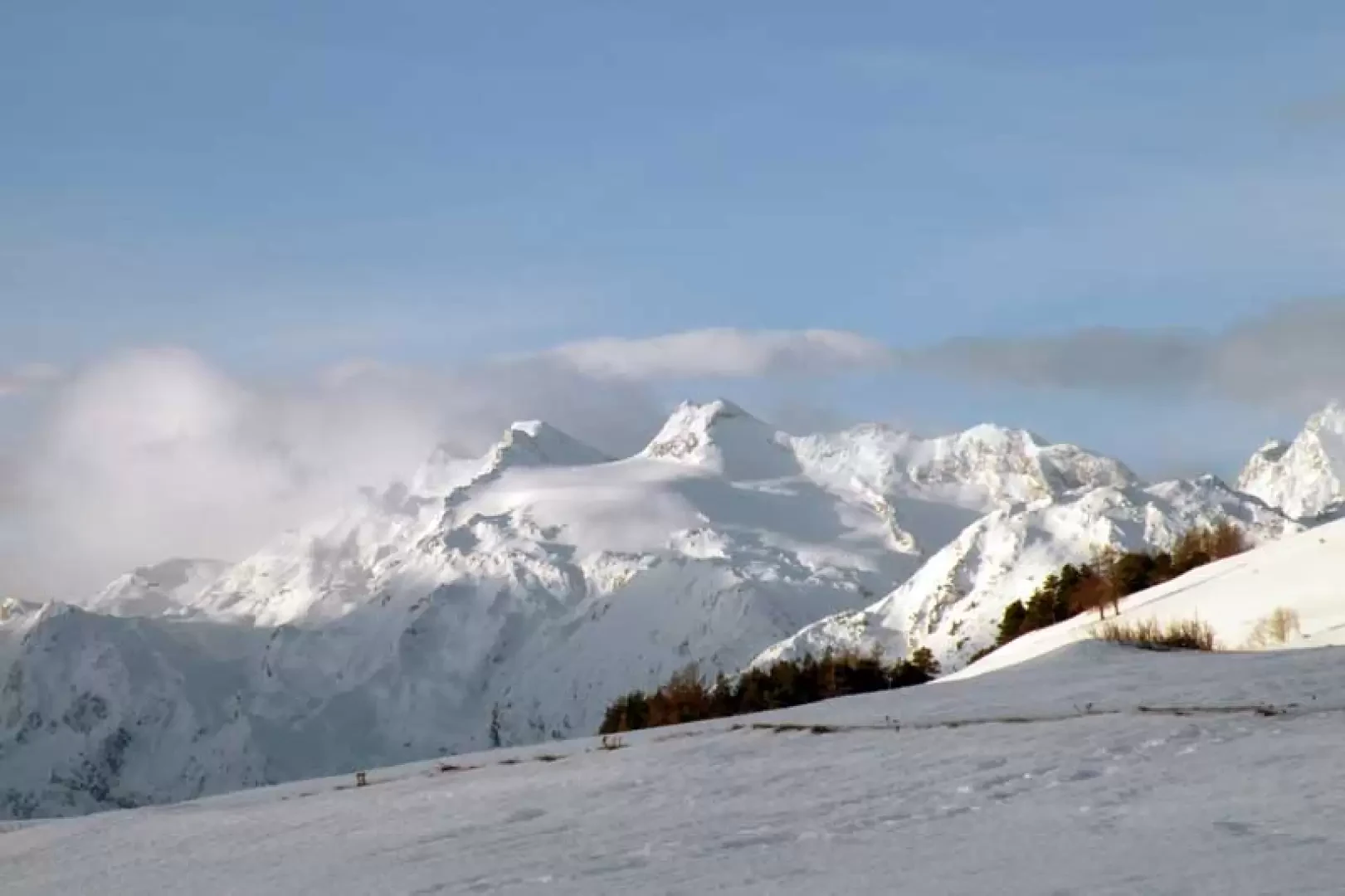
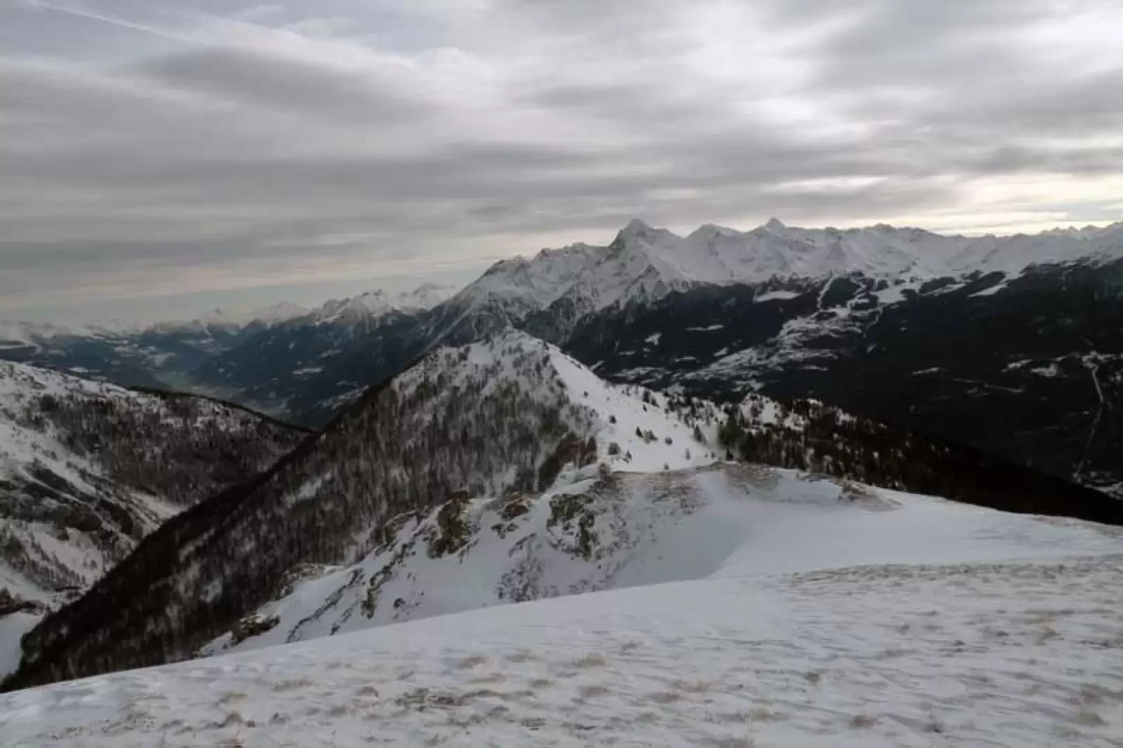
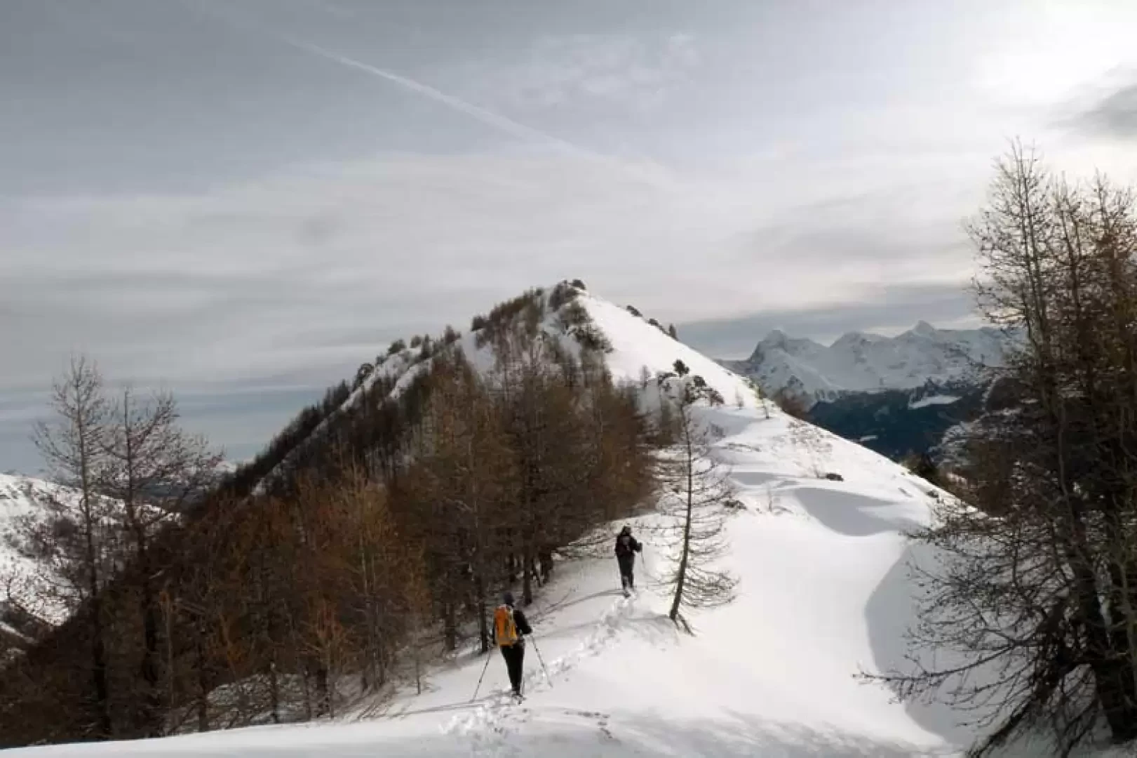
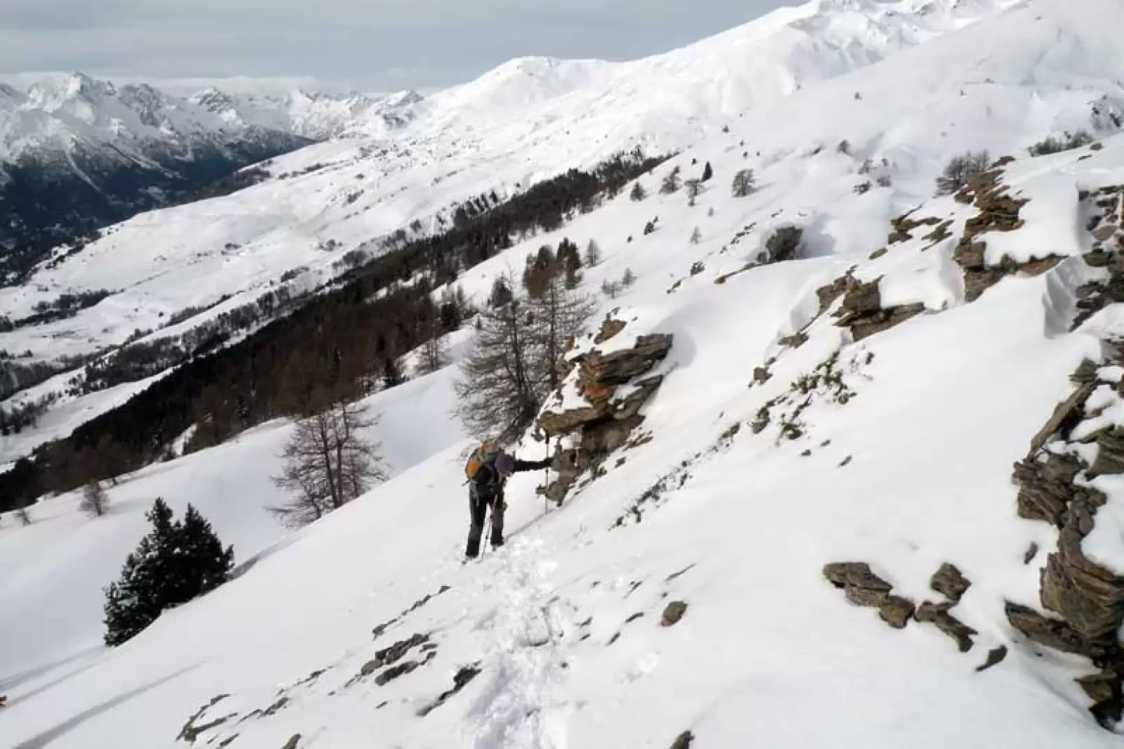
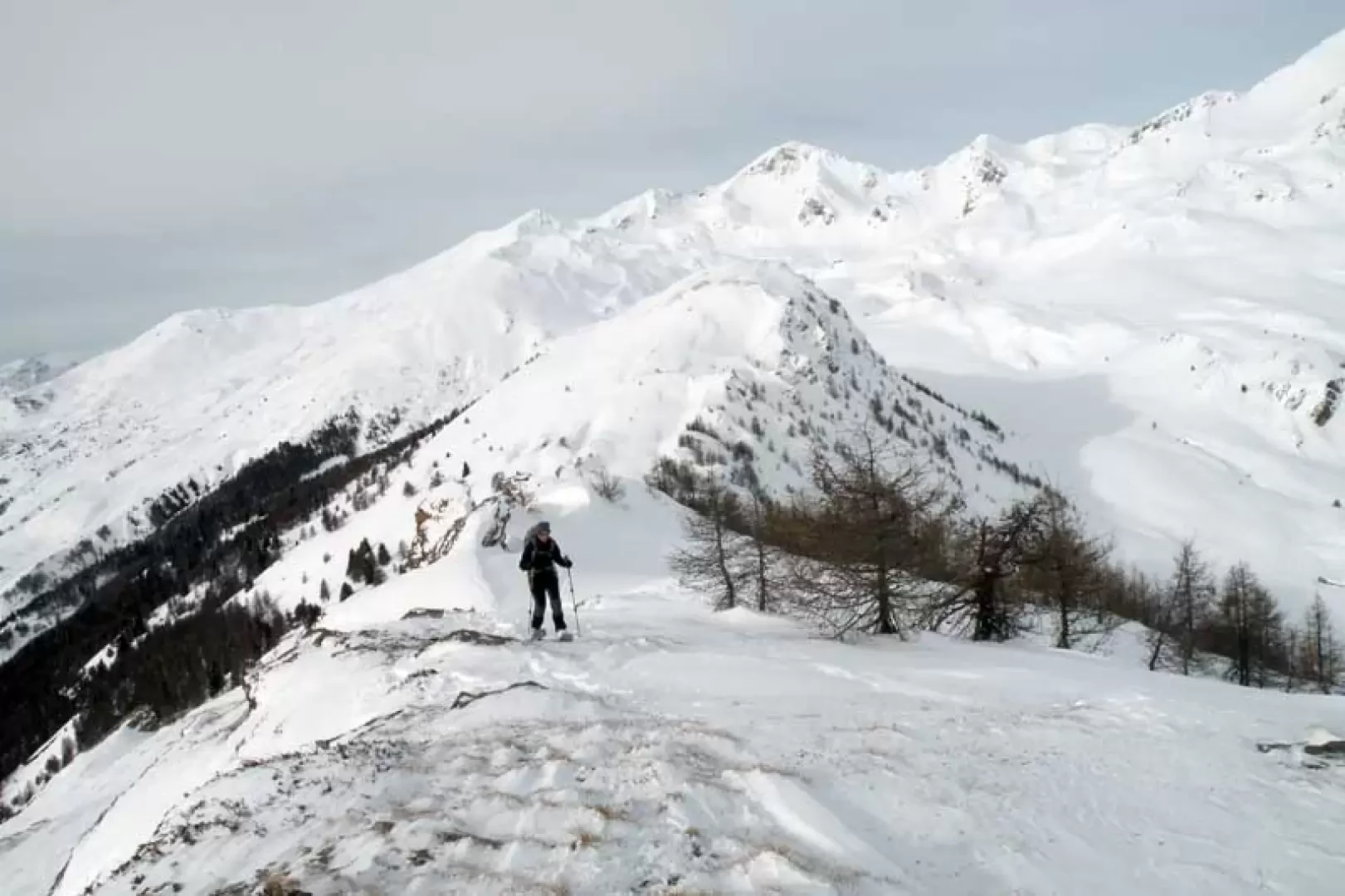
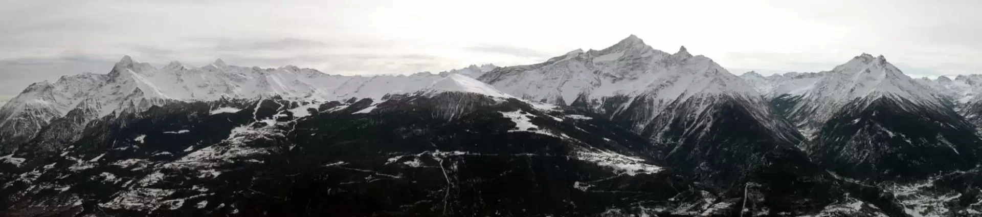
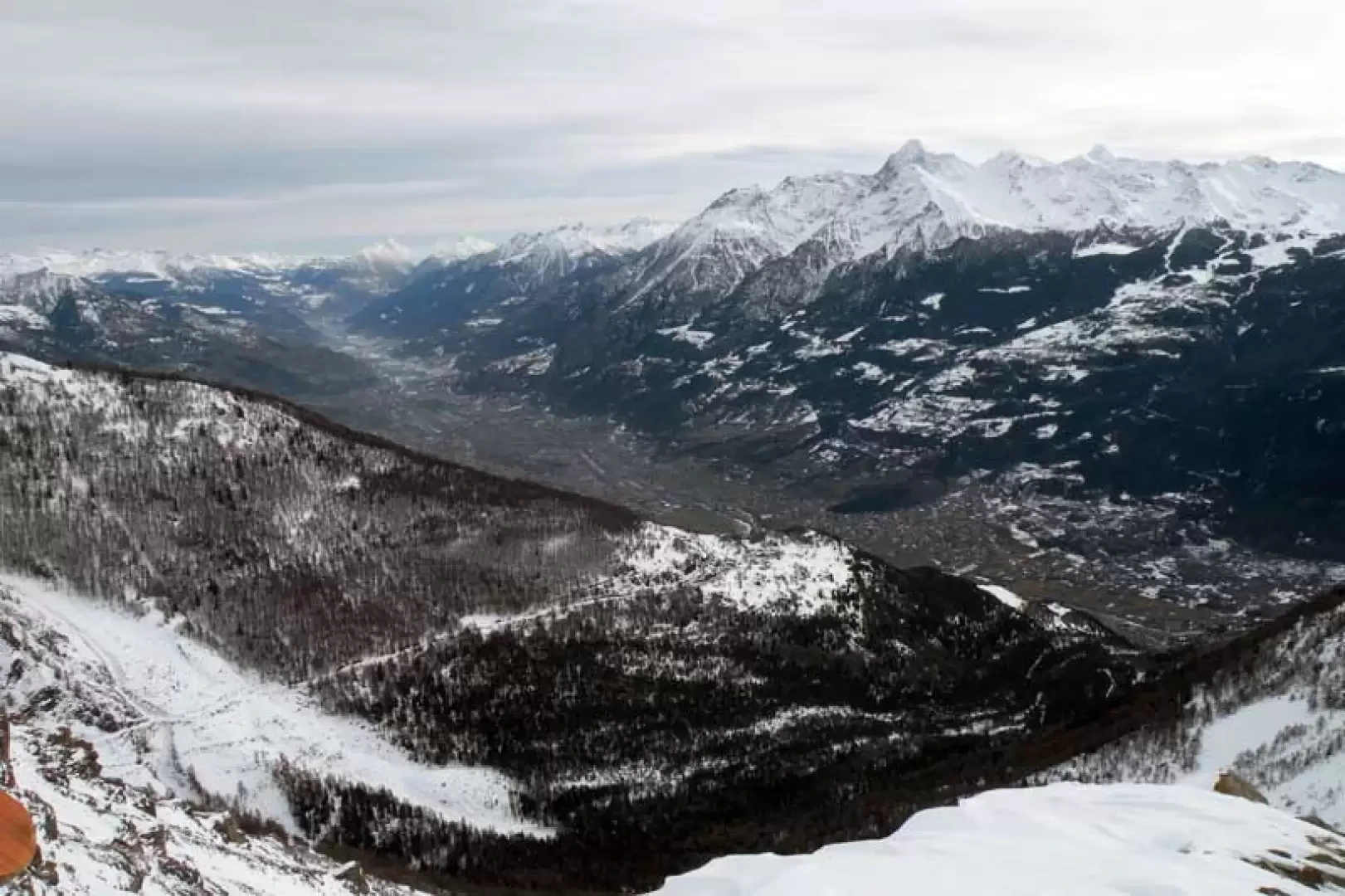
The Becca France is an exceptional vantage point over both the peaks that dominate Aosta and the entire central valley, and the beautiful Mont Fallére area, which is imposingly and centrally located among its 'satellites'. The altitude difference is not excessive and the route is relatively short, just over ten kilometres, but this should not mislead us as to the ease of the route, which, after the gentle slopes above Vetan up to the post at an altitude of 1908 m, presents crossings under steep slopes which, if with unstable snow loads, can be delicate; afterwards the progression becomes easy until Loé, after which the slopes to be climbed become sustained and on fairly steep slopes. The ridge up to the summit is, for the most part, easy, while the last stretch has some exposed points and may require the use of crampons.
Description
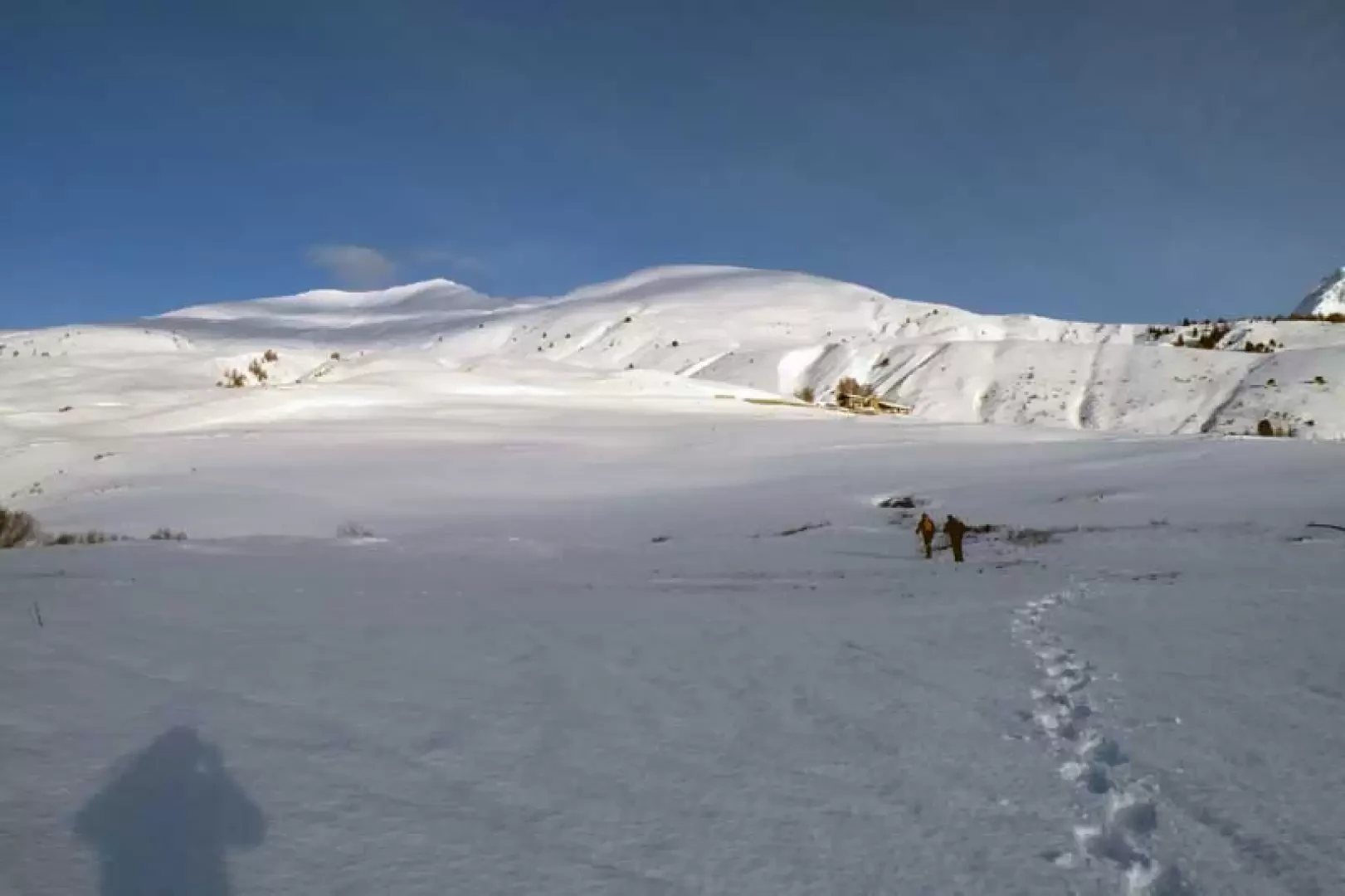
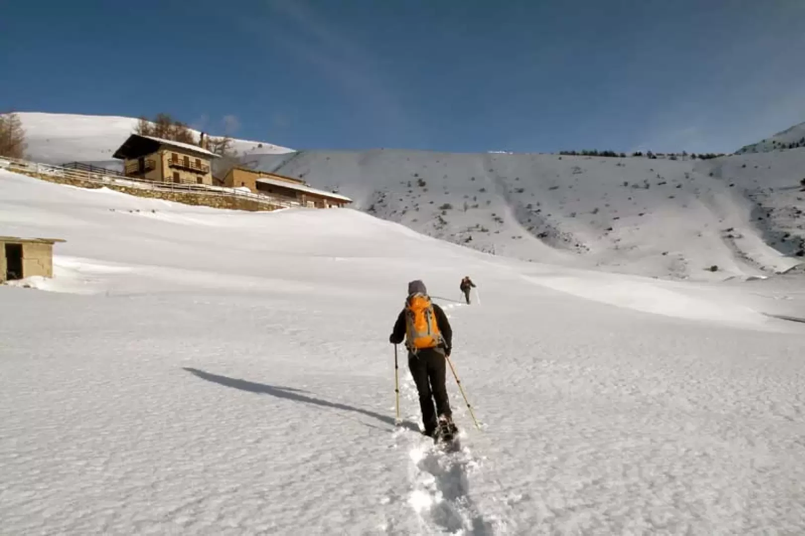
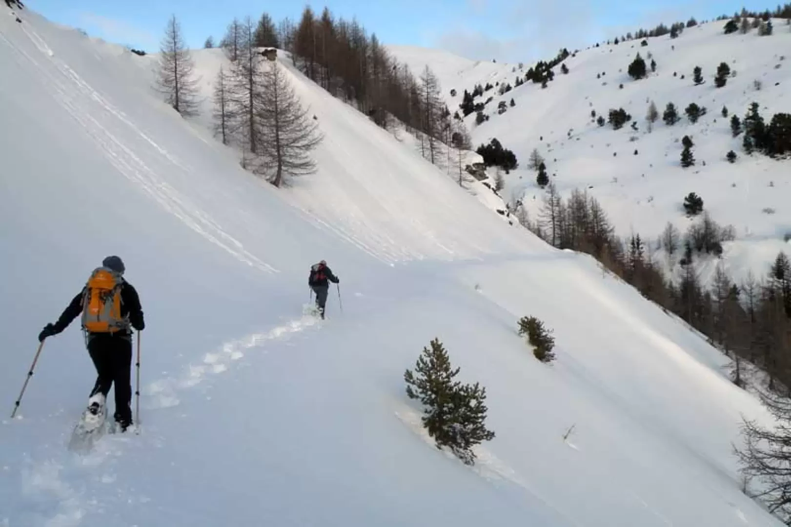
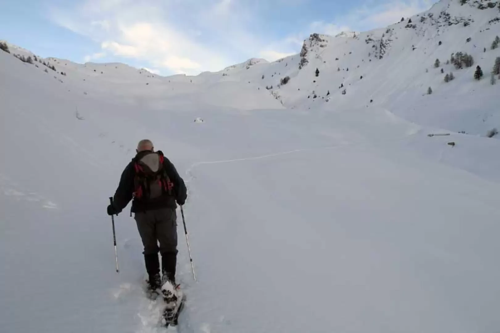
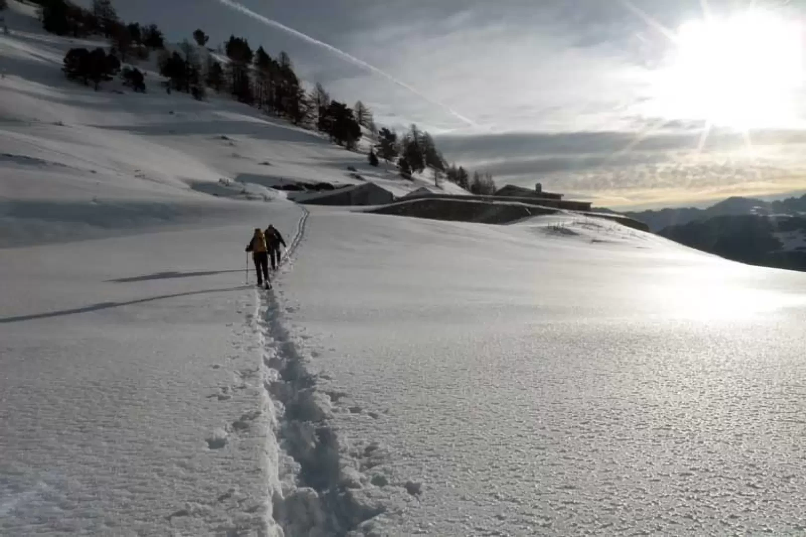
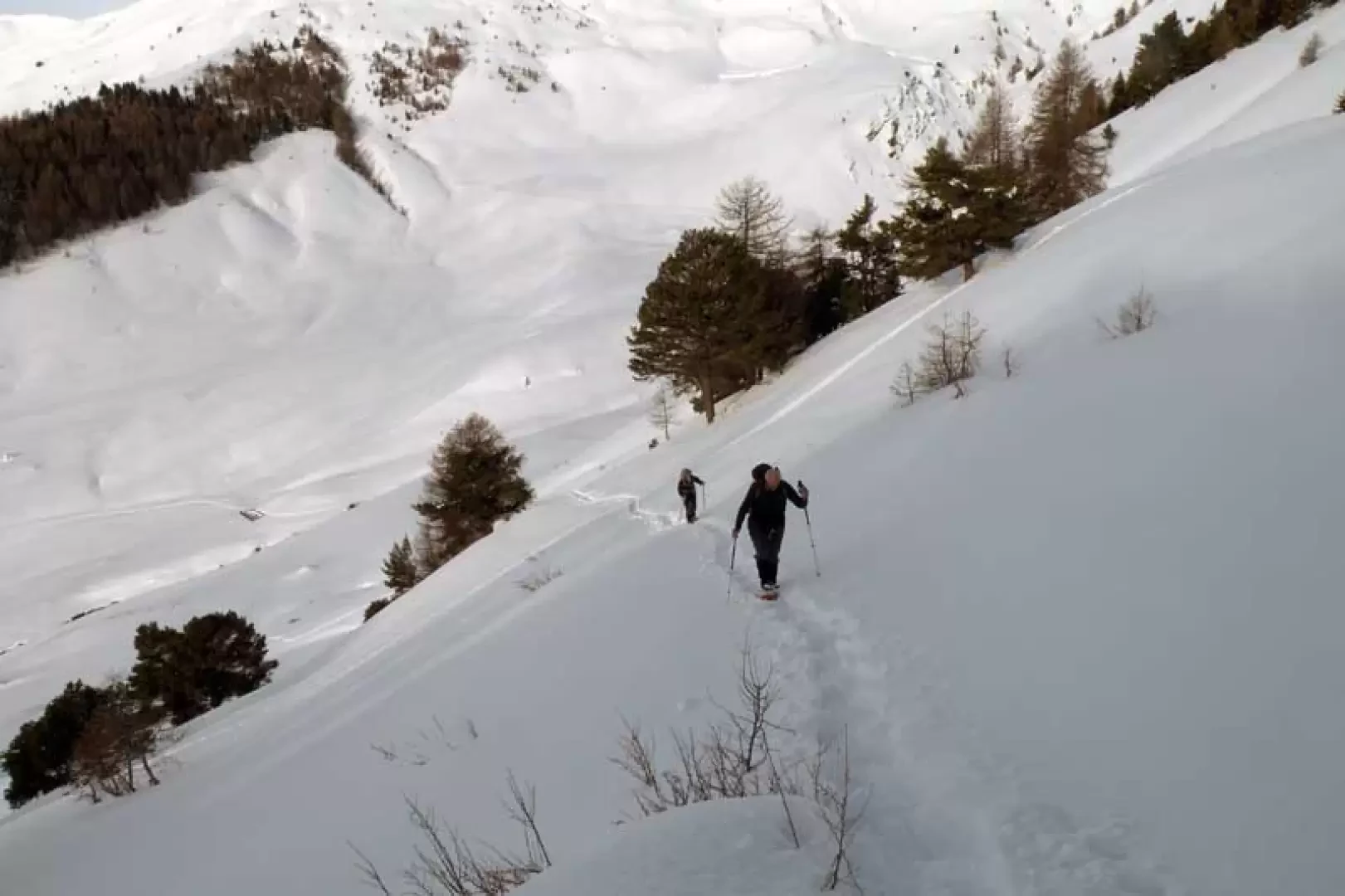
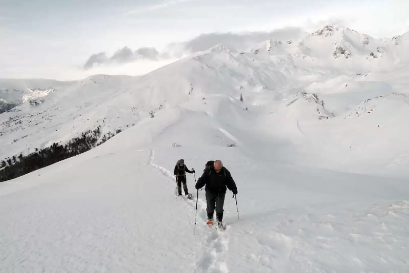
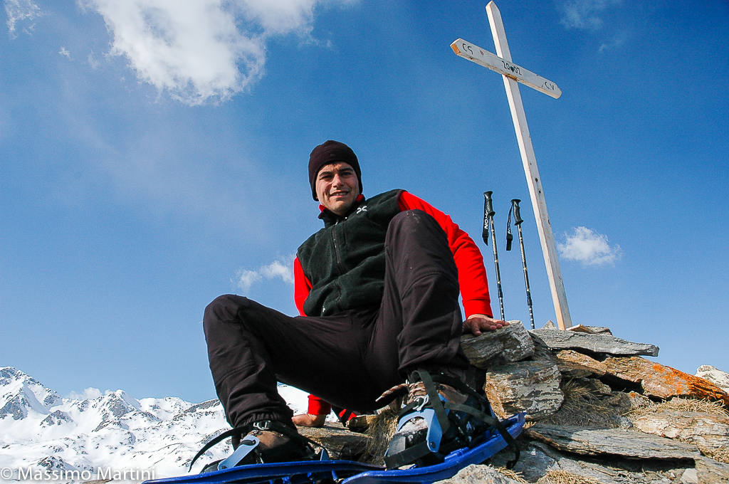
From the car park, walk towards its upper end and begin to climb to the right, soon reaching the slopes above the cross-country ski runs; freely ascend the gentle undulations keeping to the right, aiming for the clearly visible Thoules alpine pasture located higher up. Without reaching it, pass below it, crossing to the right to descend slightly and, after crossing a small stream, arrive at a marker post (1908 m). From here, continue along the track of a mule-track that, on the right, contours the side of the mountain and follows its recesses with an almost flat route; after a few dozen minutes, enter the wide and suggestive Verrogne valley and, keeping to the right, head towards an evident water lock. Having passed this and a second one not far away, cross a stream and climb up the opposite bank, reaching the Loé alpine pasture and the posts located to the left of it (2001m). From here, go up the fairly steep slopes, cutting across the flank to the right to arrive at a small valley where the slope decreases and deviates to the left to pass between the sparse trees; when you reach a small widening between the trees, keep to the left again and with a straight course, go up the wooded flank again in a slight ascent. When you come to the vicinity of rather steep slopes, turn sharply to the right and, with a few hairpin bends and always traversing to the right, you painstakingly reach the panoramic ridge above. Now continue to the right, following the undulations or passing between them at the points of lesser slope, aiming for the highest peak where there is a cairn of stones (2361 m): from this summit, the destination point of the excursion is now clearly visible at the end of the ridge heading eastwards. You then lose a few dozen metres in height difference and reach the col below, from which you resume climbing on the ridge, remaining at first on its comfortable edge and then preferably keeping to the right. You come to a rocky outcrop that you pass on the right with a somewhat exposed passage, after which the ridge becomes wide again; the climb continues skirting a sparse grove on the right, where you pass a short steep and exposed section that leads to the last stretch of the ridge. This is surmounted without any problems on a slope that diminishes noticeably and, after a few dozen metres, we soon reach the panoramic wooden cross above it. On the return journey, if you don't want to go back up to the summit and if the snowpack is well settled, you can cut below it, remaining a little high to descend decisively, after a long traverse, towards the traces of the ascent when they can be spotted in the wood below; this descent variant is not recommended with poor visibility.


Comments (0)
Sign in to leave a comment