Located in the central part of the Valle d'Aosta, the Becca d'Aver is distinguished by its distinctive silhouette, paired with the Cima Longhede. The excursion proposed here leads to the discovery of this extremely panoramic peak.
Description
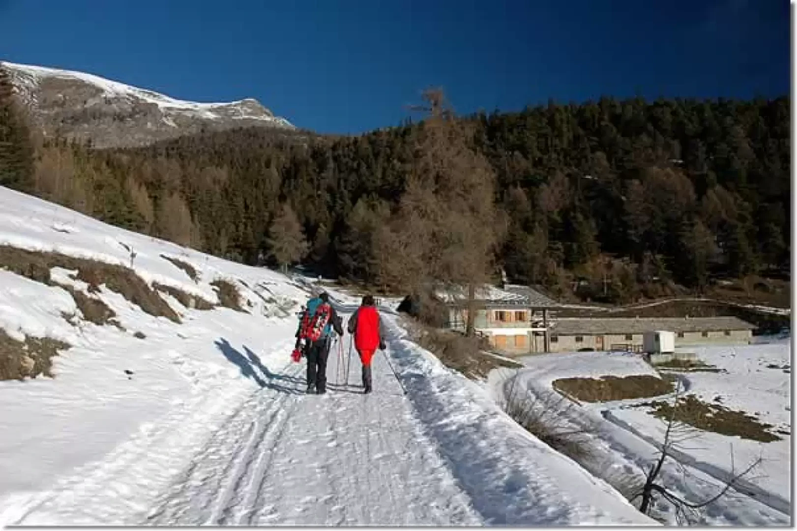
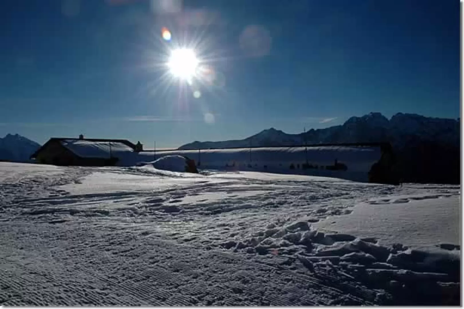
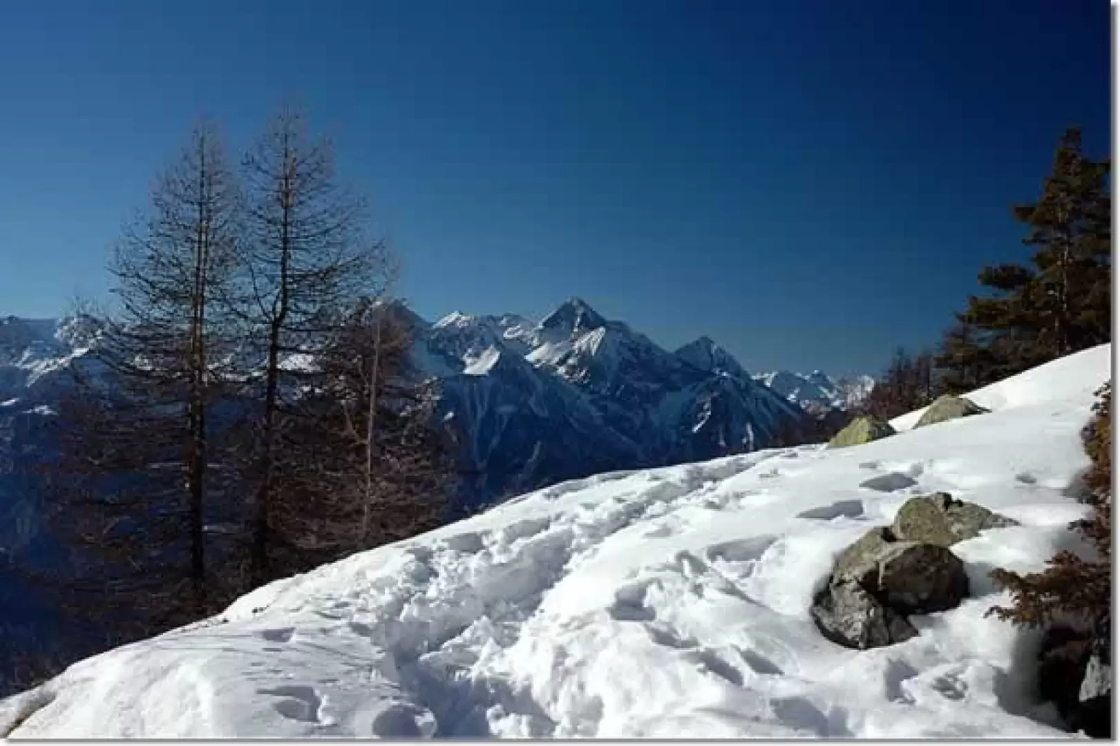
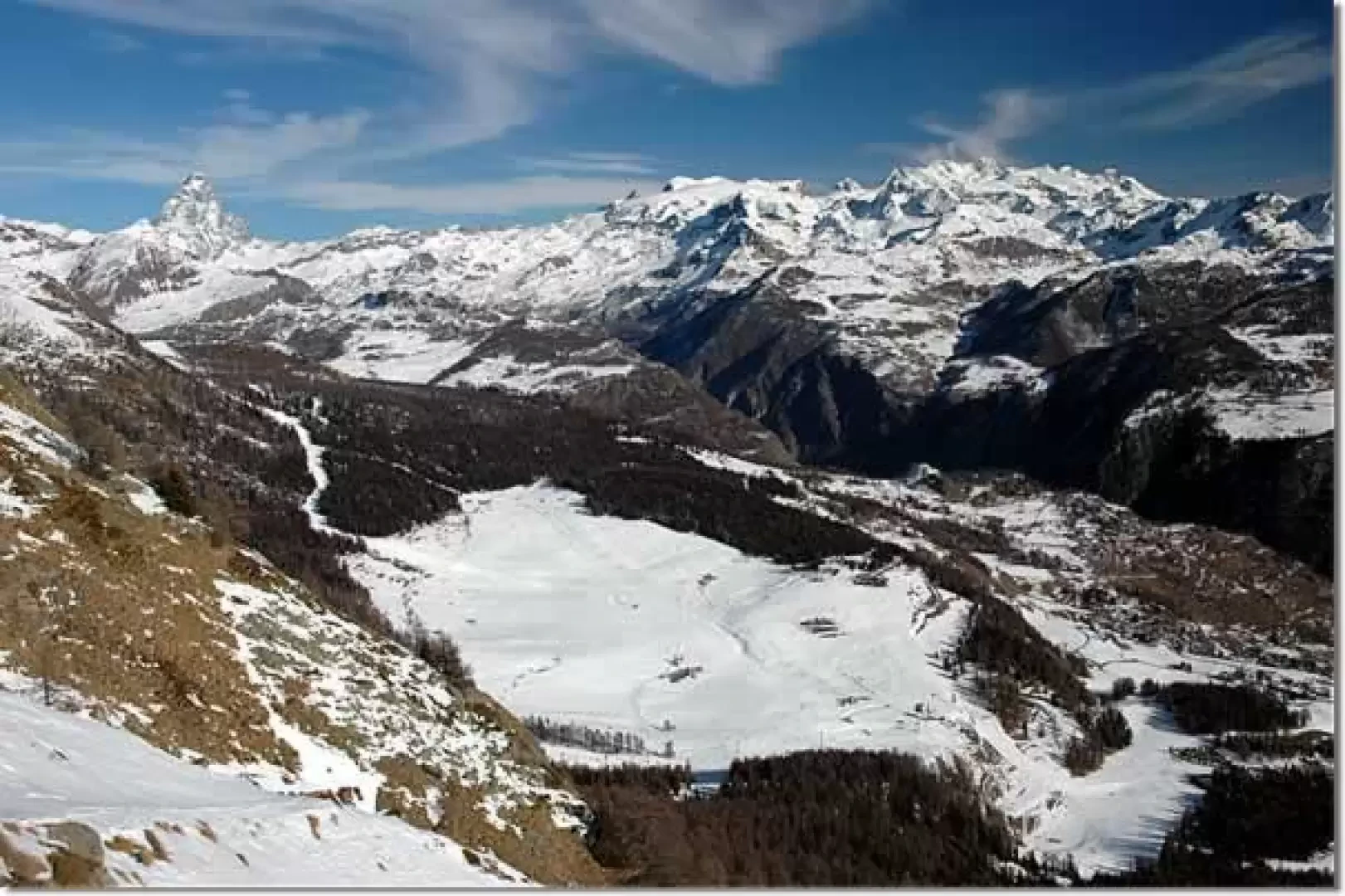
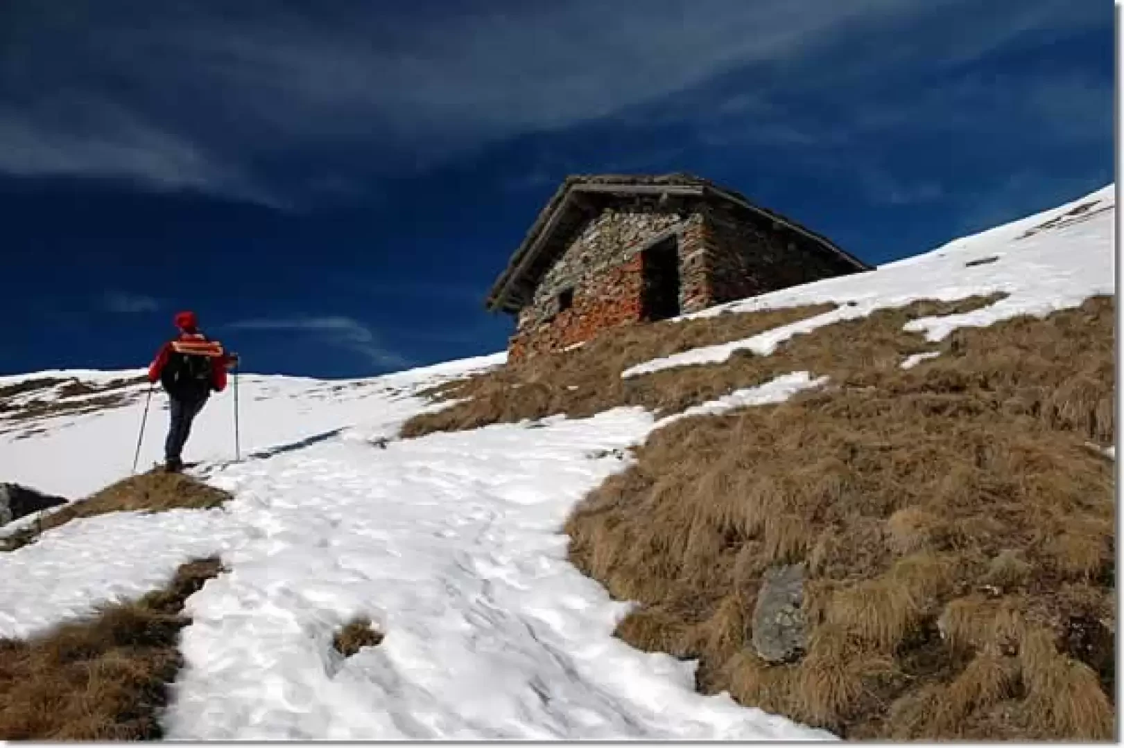
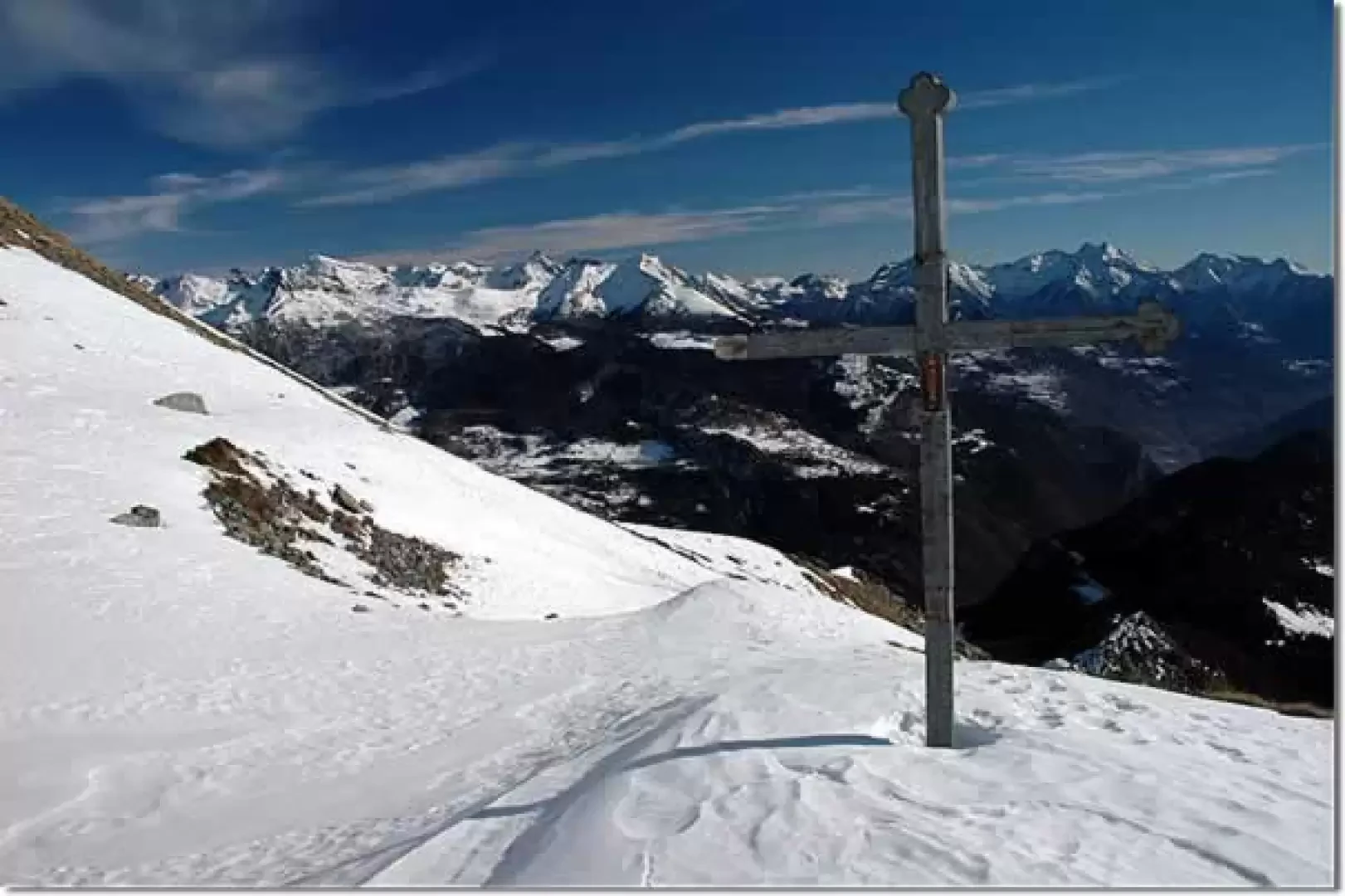
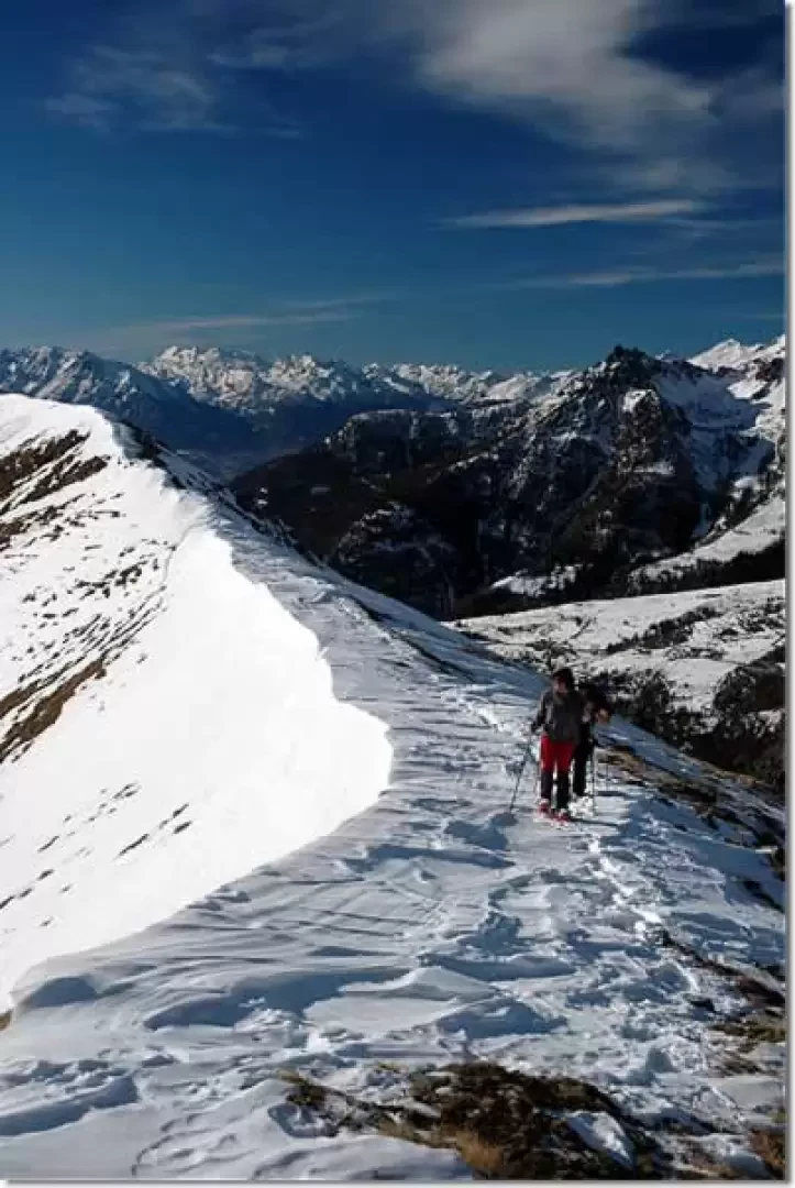
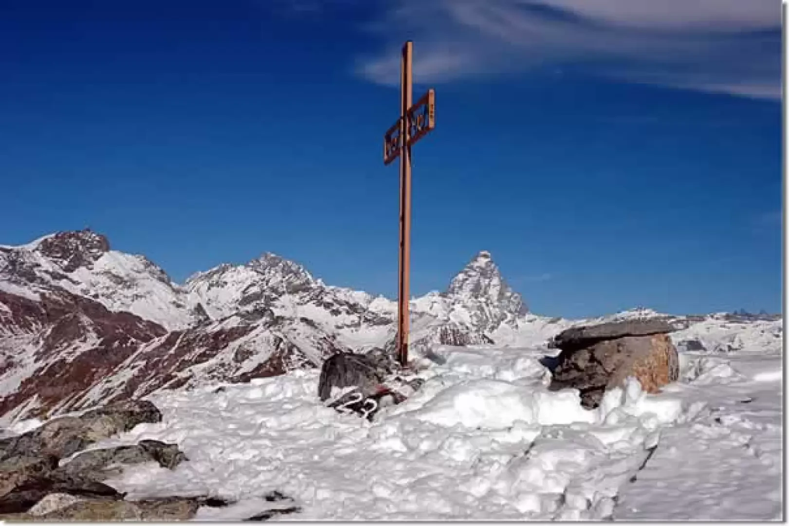
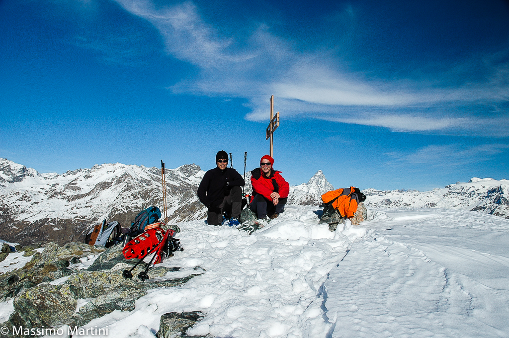
Leaving your car behind, you enter the cross-country skiing area, turn left and, skirting a section of the track, you reach the hut of the Amis de Verrayes: here you take the summer road that leads to Col des Bornes. You begin to walk along the road, which in winter has also become a cross-country track, in a northerly direction as far as a renovated barn; after this the track turns to the right and climbs halfway up the slopes descending from the Becca d'Aver. We cross stretches of coniferous forest and soon reach Col des Bornes (1785 m, 0h30'). At the pass, we follow the signs on the markers, turn left, and enter the thick forest. You follow the summer path and, in the absence of previous tracks, it may not be easy to find the direction. The first section is semi-flat and, after about ten minutes, you turn slightly to the right to reach a small watershed hump and begin to climb it in the direction of the summit. The path now begins to steepen decisively and at the same time become more evident. Slowly the forest thins out, opening up interesting views of the mountains south of the Dora Baltea: from the Mont Barbeston to the Mont Emilius. After the long uphill stretch, we enter a small clearing where we also find some benches and a table half-buried by the snowpack: in front of us we begin to see the summit and the distance still to go (2120 m, 1h30'). We continue for a short distance between some snow-covered boulders until we come to a marker post indicating the junction of the Sentiero 2 path coming from Verrayes: we neglect, of course, the descent and begin to tackle the slope below the Becca. The path is now decidedly steeper and leaves behind the last sporadic larch trees; we quickly climb up the slope with a series of hairpin bends until we reach a long traverse to the east, which leads to a col that acts as a watershed with the Valtournenche (2330 m, 2h00'): in front of us is a splendid panoramic view of the Cervino and the Monte Rosa massif. We continue in a north-westerly direction, heading towards a solitary farmhouse (2383 m, 2h15'): we pass it and turn slightly to the right in the direction of a cross that precedes an oratory built in 1929. The destination is not far away, a last traverse takes us to the terminal ridge and from here, in a few minutes, we reach the summit (2469 m, 2h45'). From the summit, the view is certainly exceptional: in addition to the already mentioned view of the Cervino and Mount Rosa, one can also consider the privileged position of seeing the Becca di Luseney and the other peaks that make up the watershed between the Vallon de Saint-Barthélemy and the Valpelline. In front of us is the central valley, with Emilius, Tersiva and, in the background, the Grivola. The descent follows the same route as the ascent.
Snowshoeing this peak must be carefully considered, as the steepness of its slopes and its southern exposure make it extremely prone to avalanches. Also pay attention to the terminal ridge, which is often windy.


Comments (0)
Sign in to leave a comment