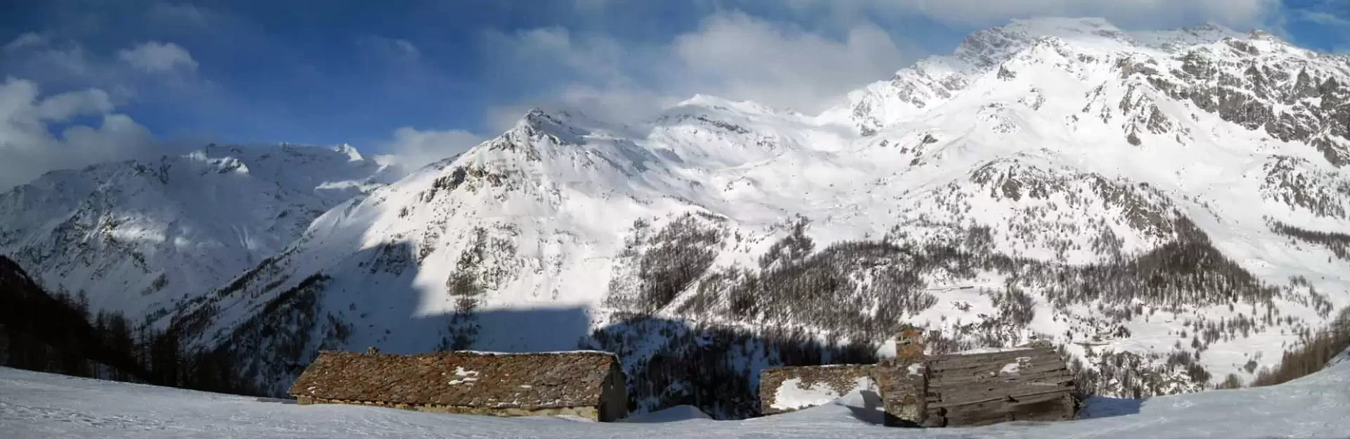
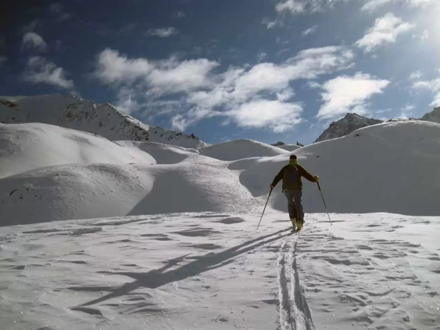
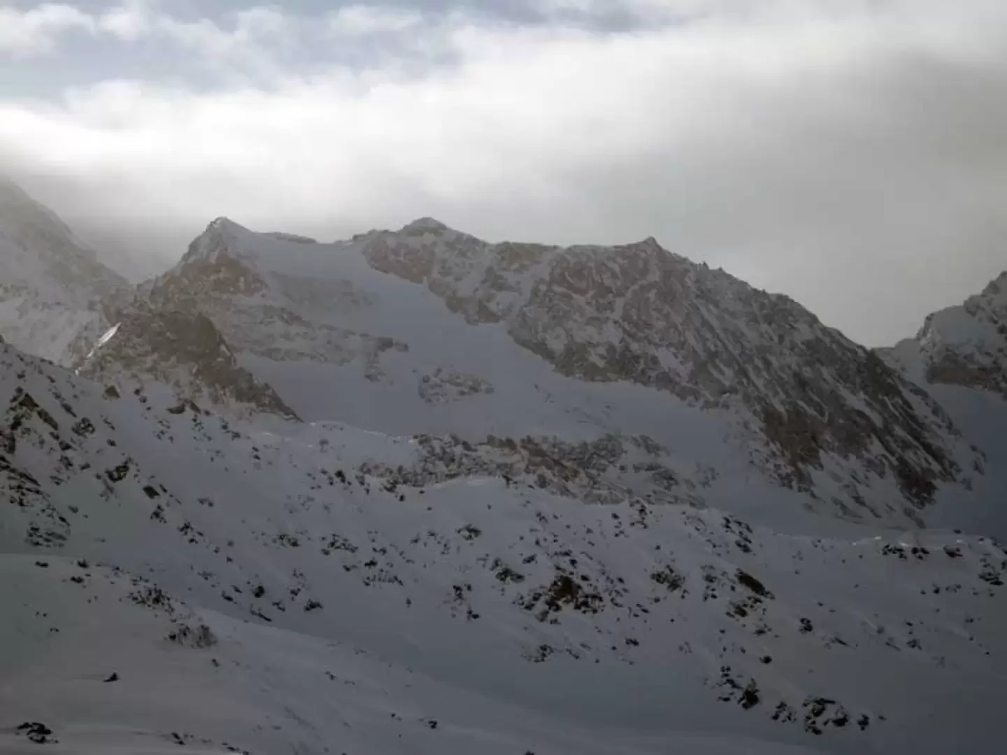
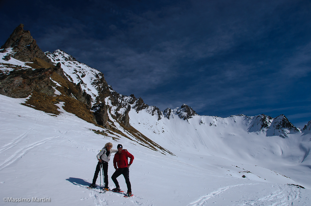
This ascent is very popular with winter hikers because of the enchanting upper slopes on which it is built and the beautiful panorama of the Rutor group; in fact, after the first section of the alpine pastures, a wide and splendid valley opens up in front of us, surrounded by beautiful peaks that enclose countless immaculate bumps that are never excessively steep. The possible dangers are to be found when travelling along the little road that skirts Lake Beauregard from above; in this stretch, the presence of avalanche cones can make crossing them problematic due to the strong exposure on the short steep slopes. Otherwise, the hike takes place in an environment that conveys relaxation and a sense of peace.
Description
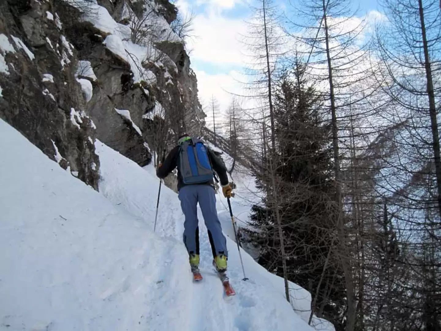
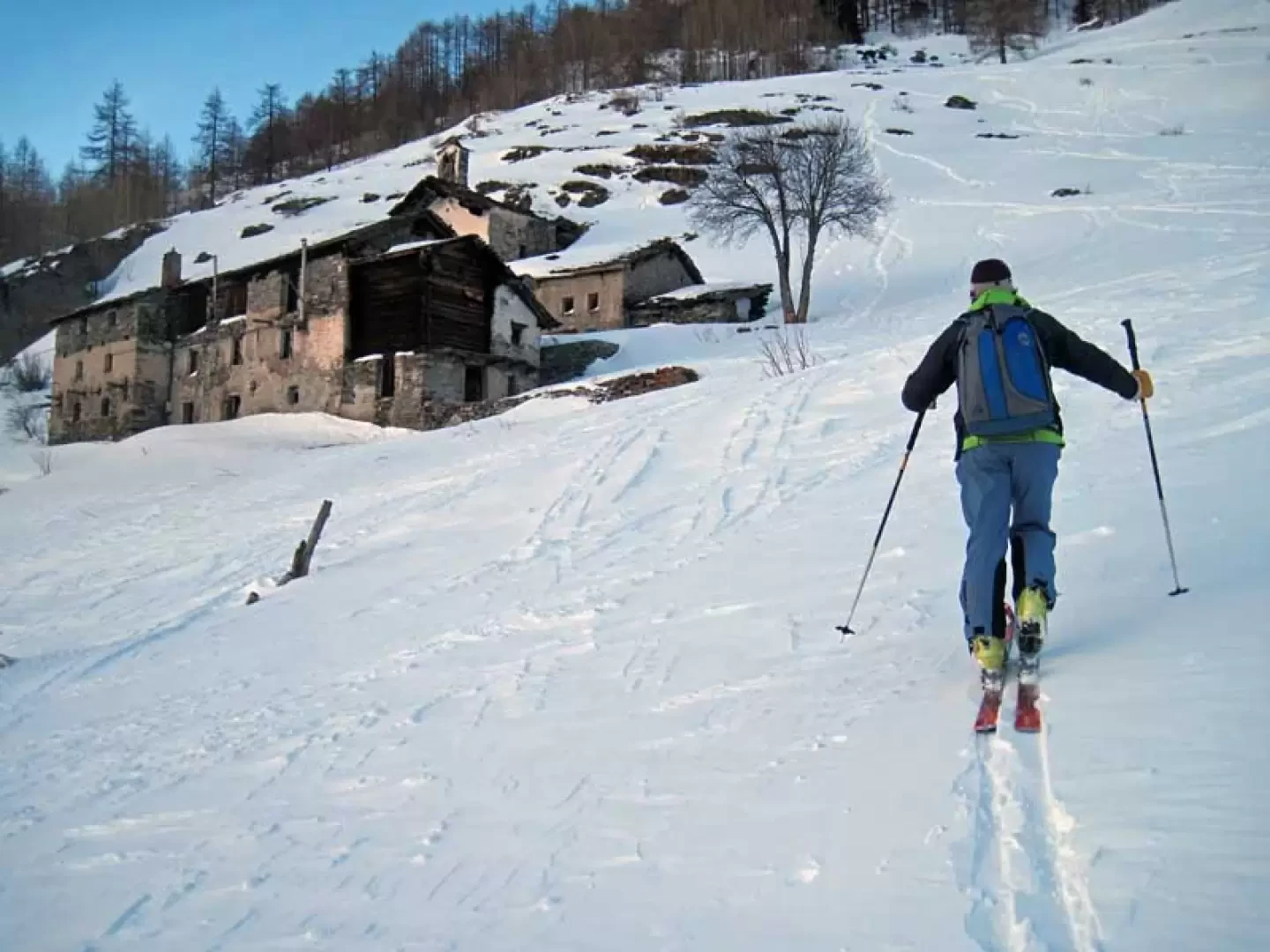
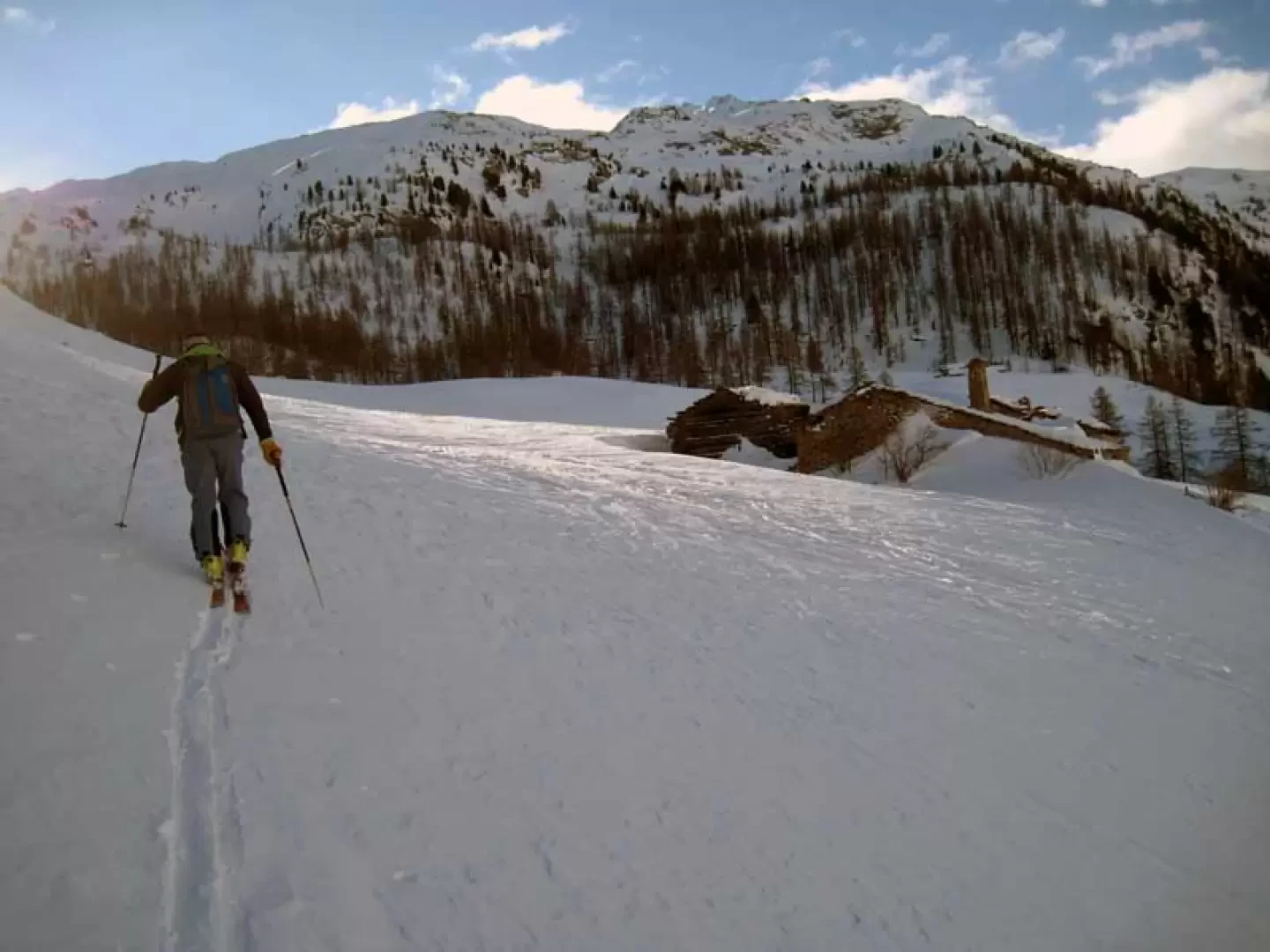
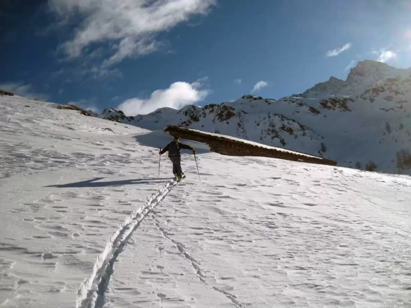
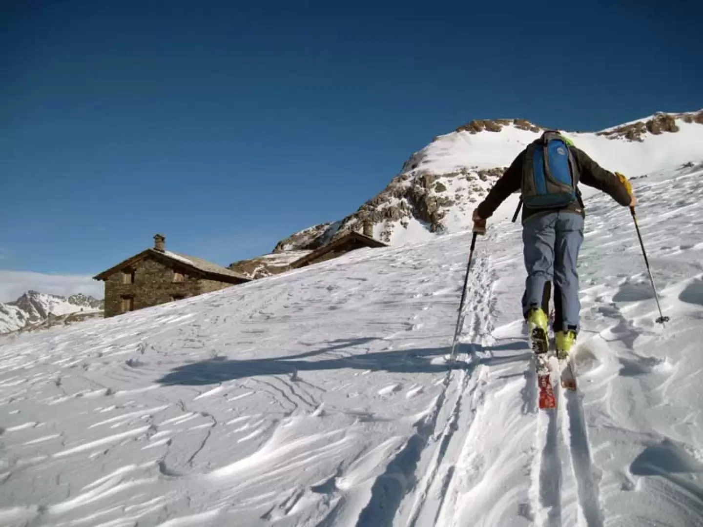
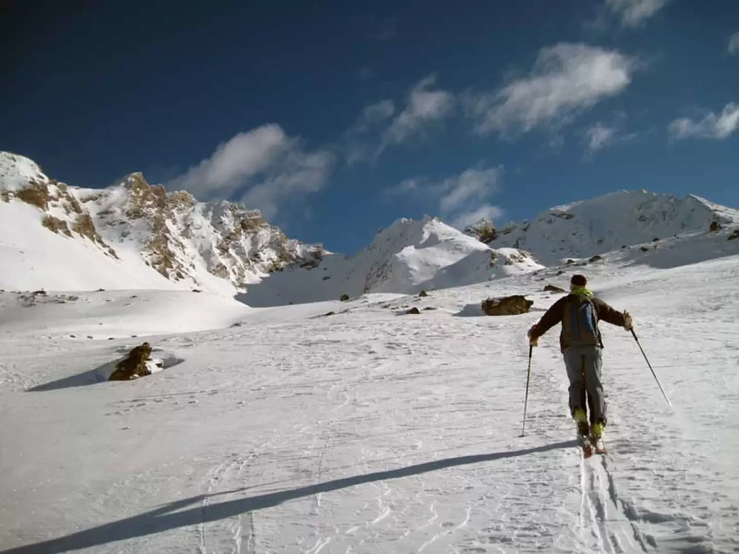
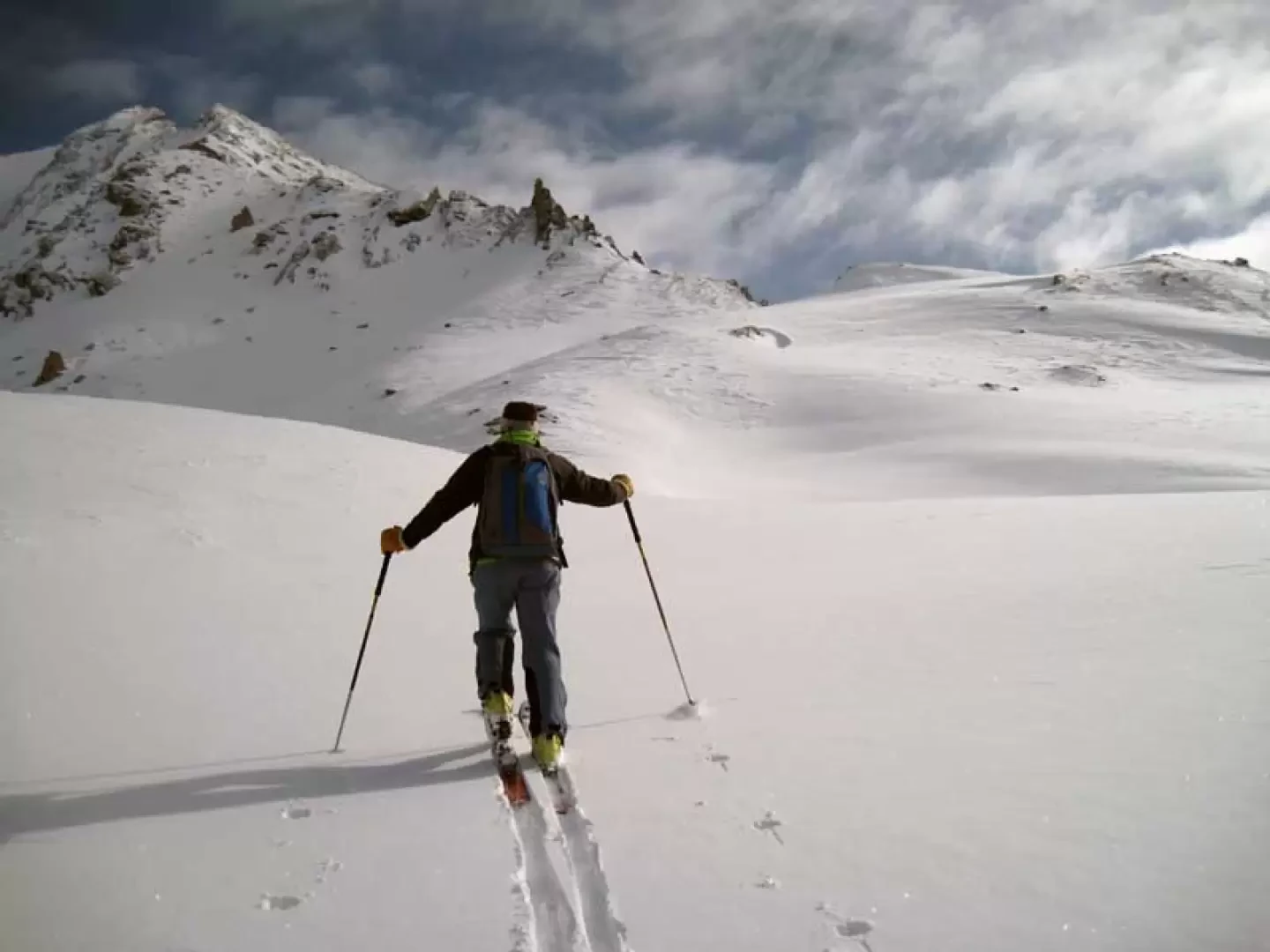
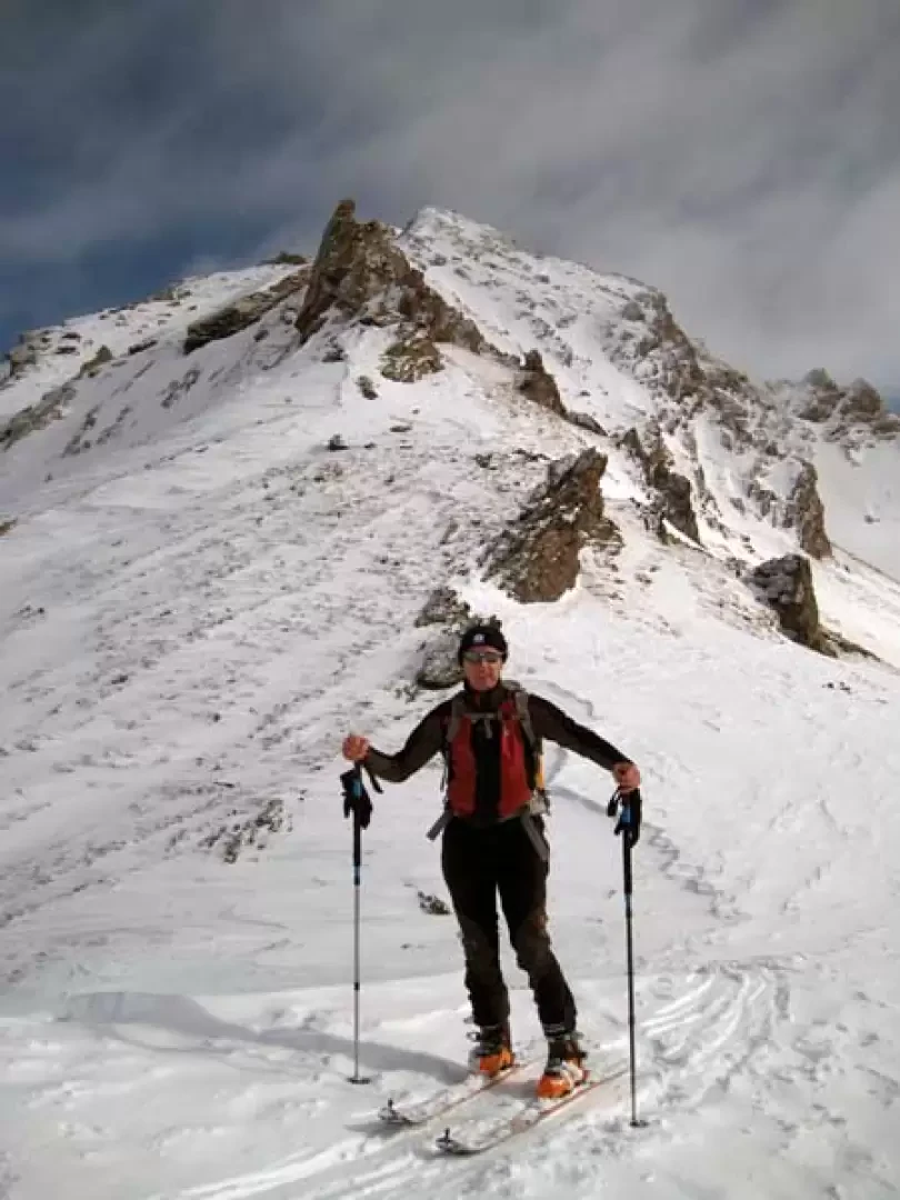
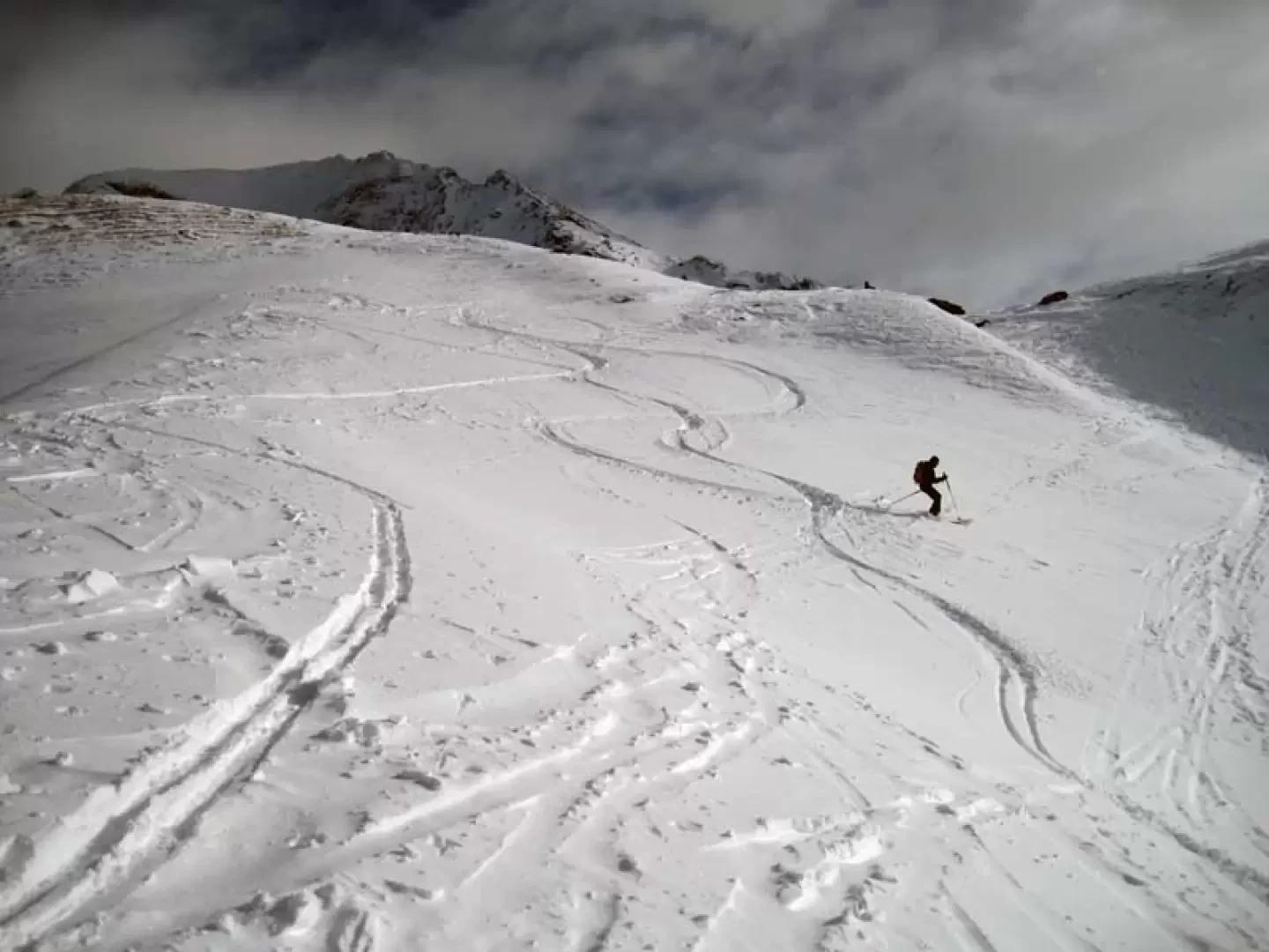
From the dam, take the little road that skirts the Beauregard lake below on level ground, passing a few small avalanches that, at times, create snow cones to be overcome with short but exposed traverses. After a few minutes, you come to a small tunnel, which you cross and, immediately afterwards, turn sharply right to climb the short slope above it, arriving at a small road (this can also be reached by continuing straight on after the tunnel and turning left at the first fork). Having climbed the short slope again, leave the Rocher huts (1896 m) to the left and climb the steep slope behind them, then keep to the right and, with a diagonal ascent, reach the panoramic Prariond huts (2045 m). Continuing the ascent in the same direction, you come in sight of a small church, which you do not reach but, bending to the left, you reach the Bois huts (2140 m). From here, climb up the slope above, gradually moving to the left until you reach the alpine pasture of Catin (2309 m). At this point, the valley opens out in all its vastness and, with the slope now decreasing noticeably, you enter it, heading towards the numerous bumps in its upper part. These are reached after a slightly sloping section and are overcome either directly or by passing through the points of lower gradient, getting closer and closer to the now clearly visible outline of the 'cigar'. A few more bumps to overcome and, bending slightly to the right, you reach the col just below the spire.


Comments (0)
Sign in to leave a comment