Reports Trail map Points of interest Photostream Community Magazine Webcam

Ru Courtaud, from the Barmasc car park to Metsan

Ru Courtaud
Profile image

Edited by:

Last survey: 09/06/2014
Updated at: 26/07/2026

Comments (0)

New comment added!

Sign in to leave a comment

No comments yet. Be the first to comment!
Difficulty
T2
Length
10.19 Km
Departure altitude
1899 m
Arrival height
2022 m
Positive difference in height
125 m
Negative difference in height
125 m
Round trip time
01h30'
Return time
01h10'
Recommended period
Exposure
E W S N NW NE SE SW NNE ENE ESE SSE SSW WSW WNW NNW

Access

Leave the [A5] motorway at the Verrรจs exit, enter the roundabout and take the second exit. Head towards the historic centre and, after 300 metres, turn left onto the regional road SR45 towards Val dโ€™Ayas. Follow the regional road for 22.1 kilometres, passing through the villages of Challand-Saint-Victor and Challand-Saint-Anselme, Brusson, Vollon and Extrapieraz until you reach the junction for Antagnod in the hamlet of Corbet. Turn left and follow the regional road 5 towards Antagnod, passing through the villages of Lignod and Antagnod. After about 4 kilometres, turn left and head up Route Barmasc for a further 4 kilometres until you reach the large free car park ๐Ÿ…ฟ๏ธ at Barmasc.

[0h45'] - [29.7 km]
How to get there with Google Maps
How to get there with Apple Maps

These directions are based on a first-hand check carried out when the route was mapped; therefore, the information should be verified before setting off on the hike. We recommend using a GPS navigator or a map app on your smartphone to obtain up-to-date and detailed directions.

Introduction

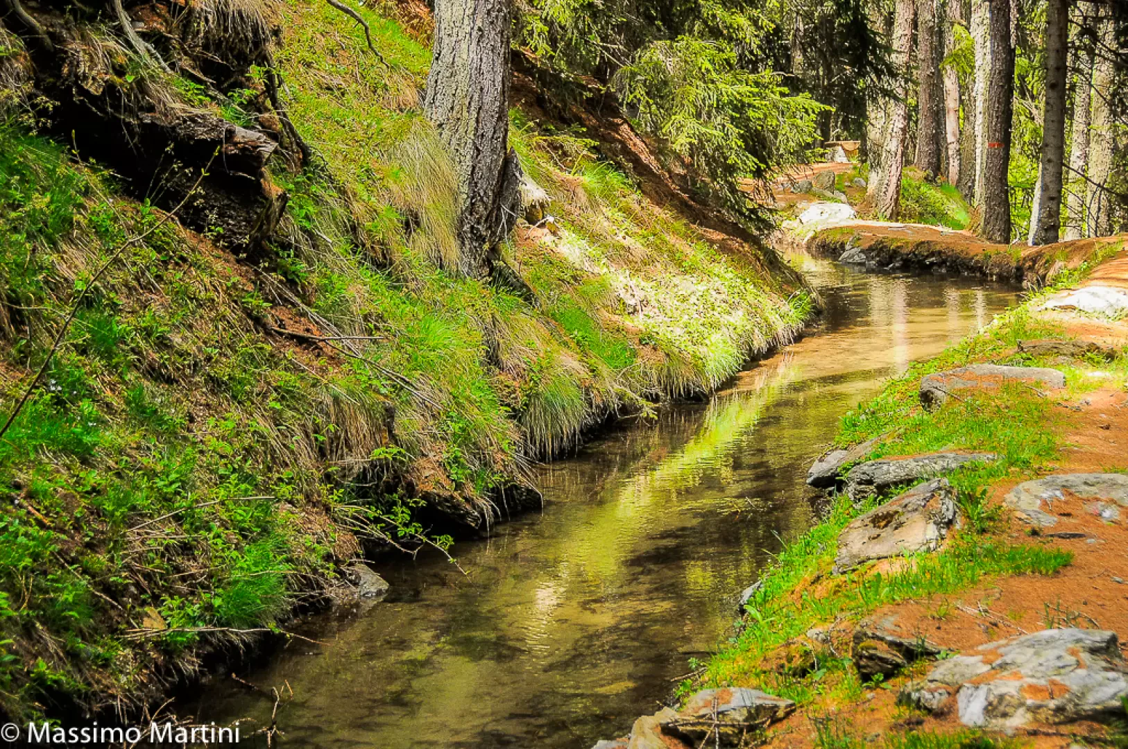
The Ru Courtaud is a stream, but it can easily be described as a cultural asset in its own right. There are documents dating its construction back as far as 1393. Over the years, it has been a key factor in the agricultural development of the Saint-Vincent hillside and, only recently, has it become a popular tourist attraction. The itinerary described here allows you to explore this โ€˜great engineering featโ€™ dating back over 600 years.

Description

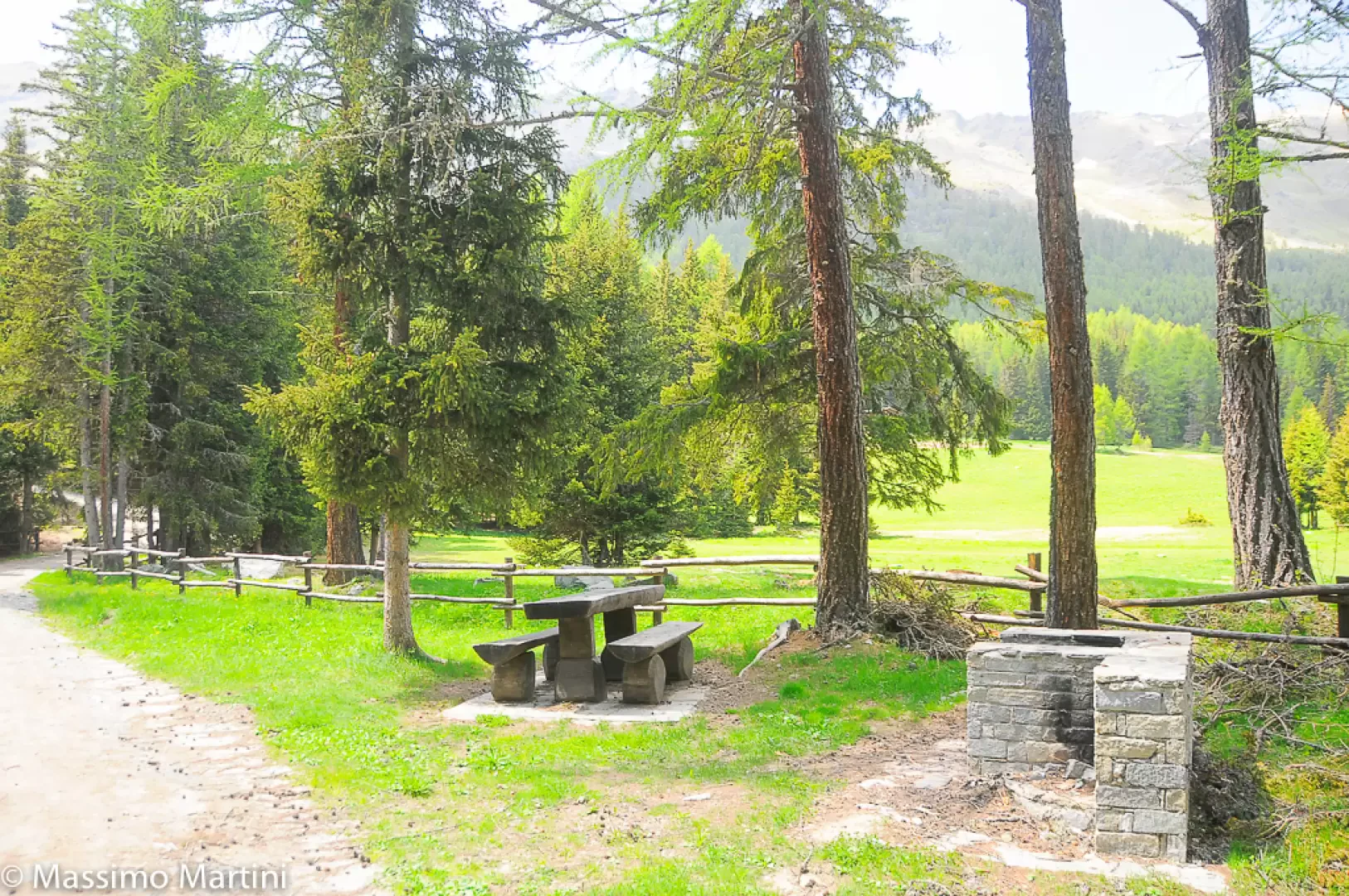
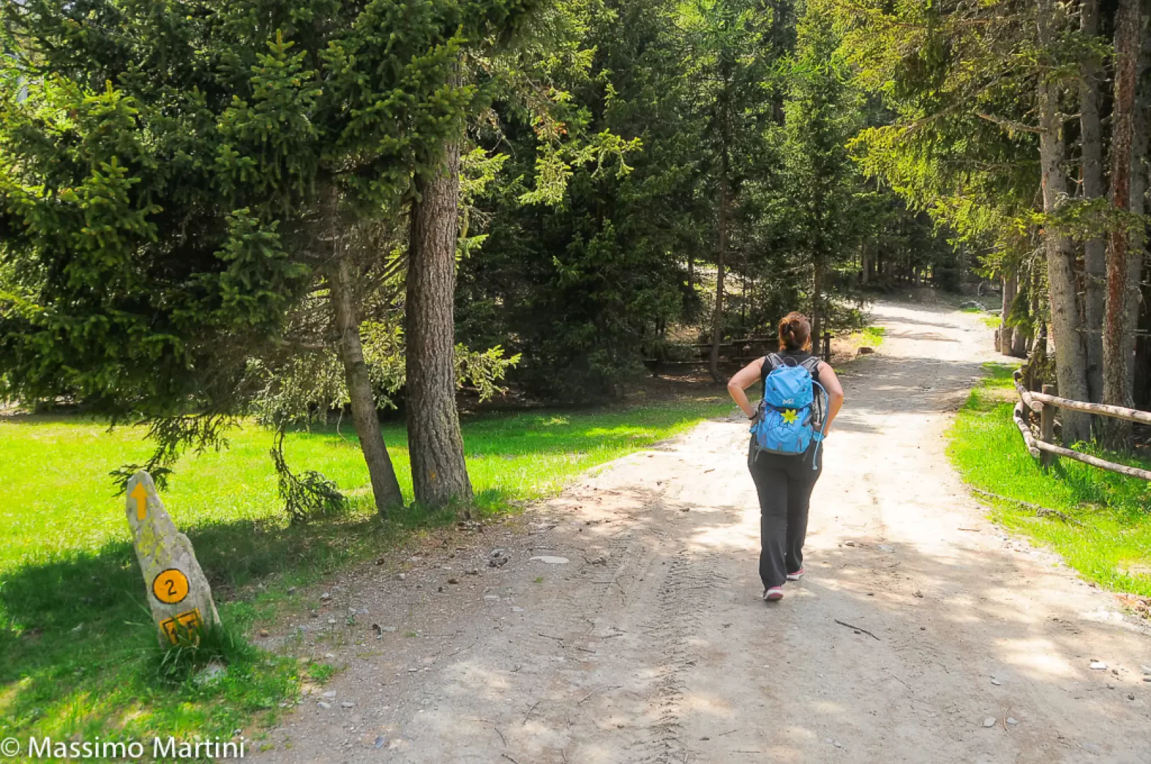
0h00' After leaving your car in the large car park at Barmasc, head towards the barrier blocking vehicle traffic. Take the narrow dirt track that crosses the Barmasc picnic area and begin climbing the routeโ€™s only steep section, surrounded by spruce forest, until you reach the pleasant clearing of Pian Tchantchavellร , where the Ru Courtaud flows peacefully.
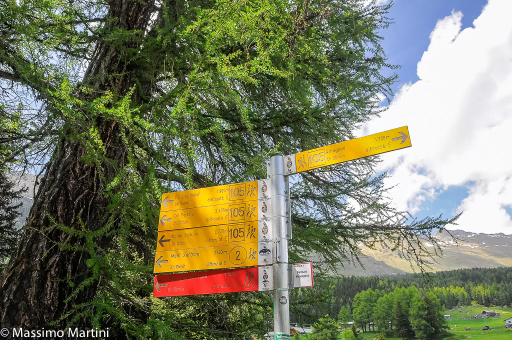
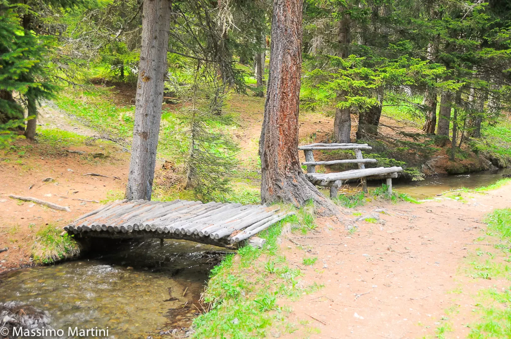
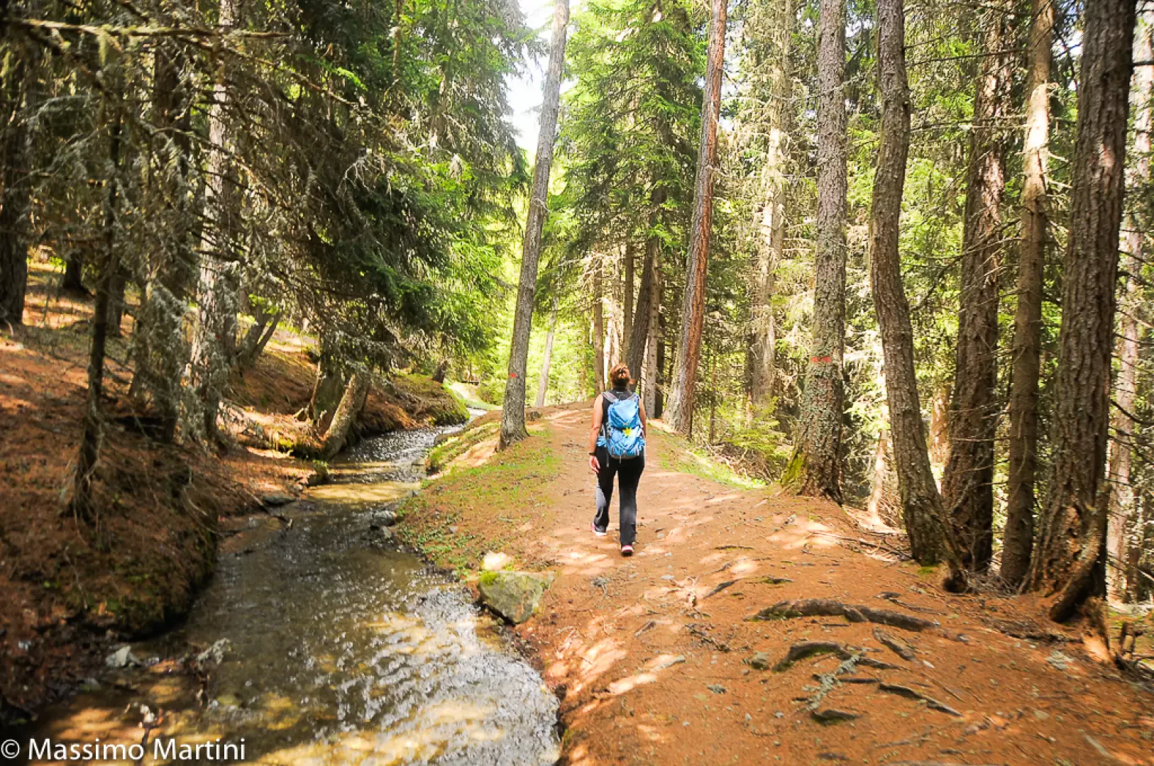
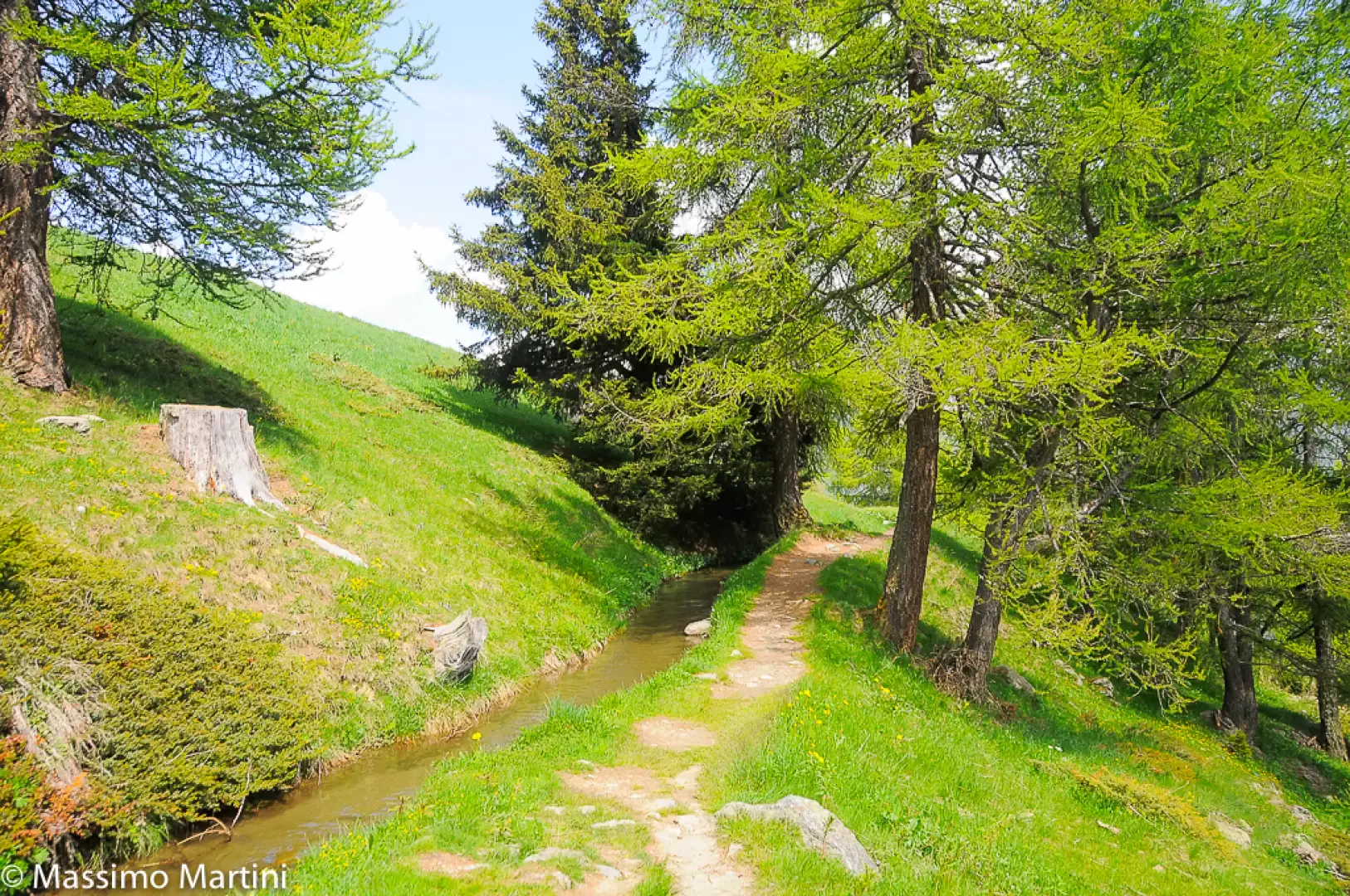
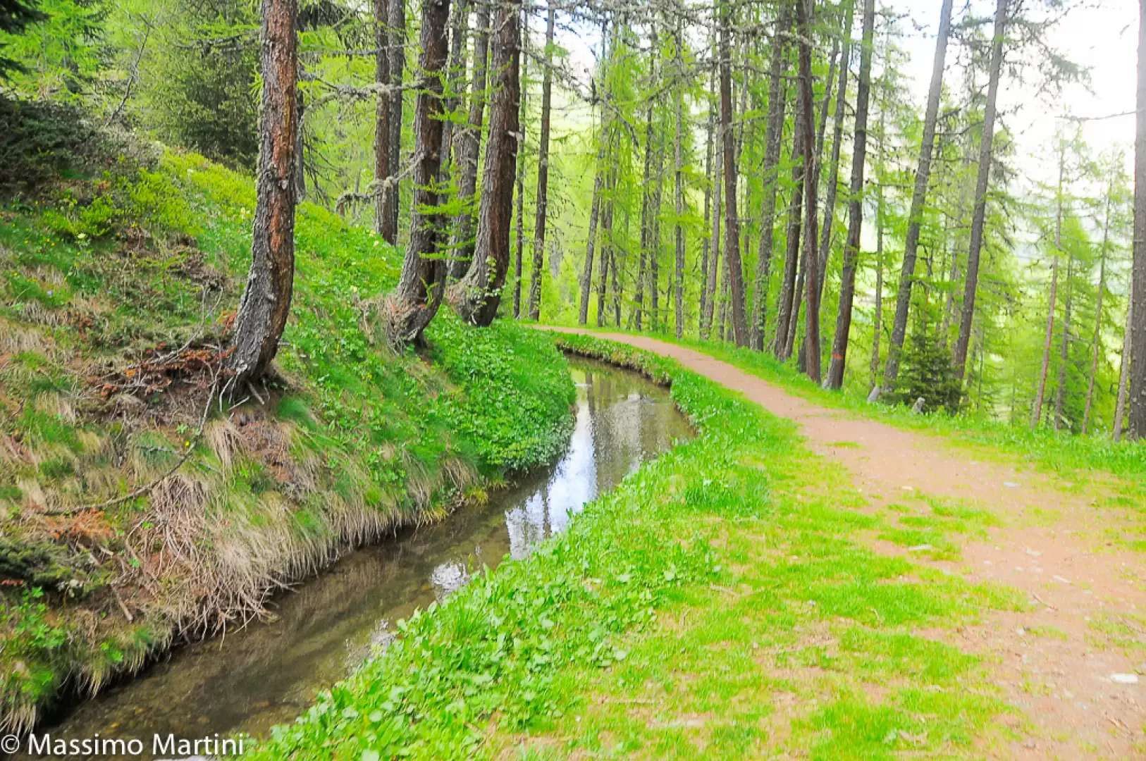
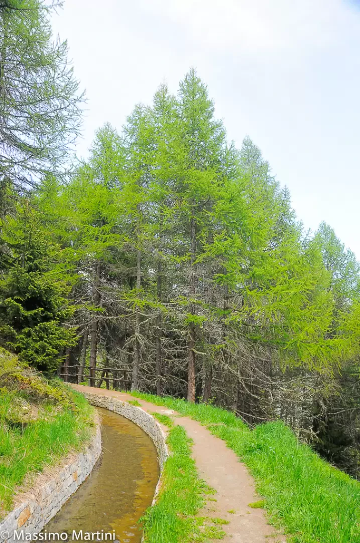
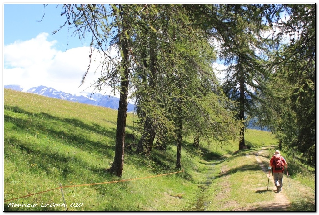
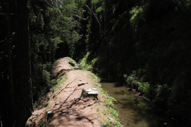
0h10' At a signpost, youโ€™ll come to the stream and turn right, following the signs for path 5 ; leave the track and take the easy path that runs alongside the stream. The flat section of the route begins, immediately taking you into the beautiful spruce and larch woodland. The path closely follows the winding course of the stream, occasionally featuring a few wooden benches where you can sit and enjoy the tranquillity of the spot.
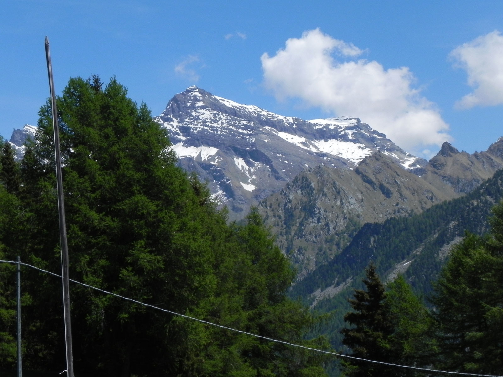
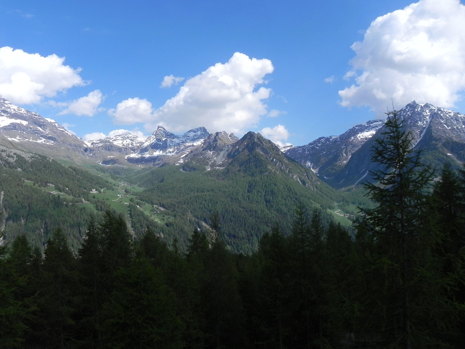
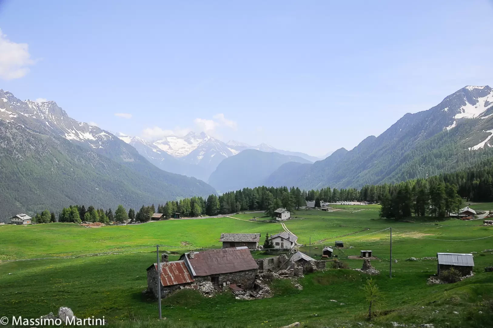
0h20'T2] The path emerges from the woodland and reaches the junction for the return route to the Barmasc car park; ignore this for now, but it will come in handy on the way back. Continue now across open country, passing above the ruins of Chavannes and, a little further on, below the hamlet where the Corneil farmhouse is located. After taking in some interesting views of Testa Grigia and other peaks on the eastern side of the Val dโ€™Ayas, you re-enter the woods along a long, shaded stretch before emerging once more into open country near Granon, where the path briefly becomes a dirt track (1,983 m) and the view opens out onto the nearby Monte Rosa massif.
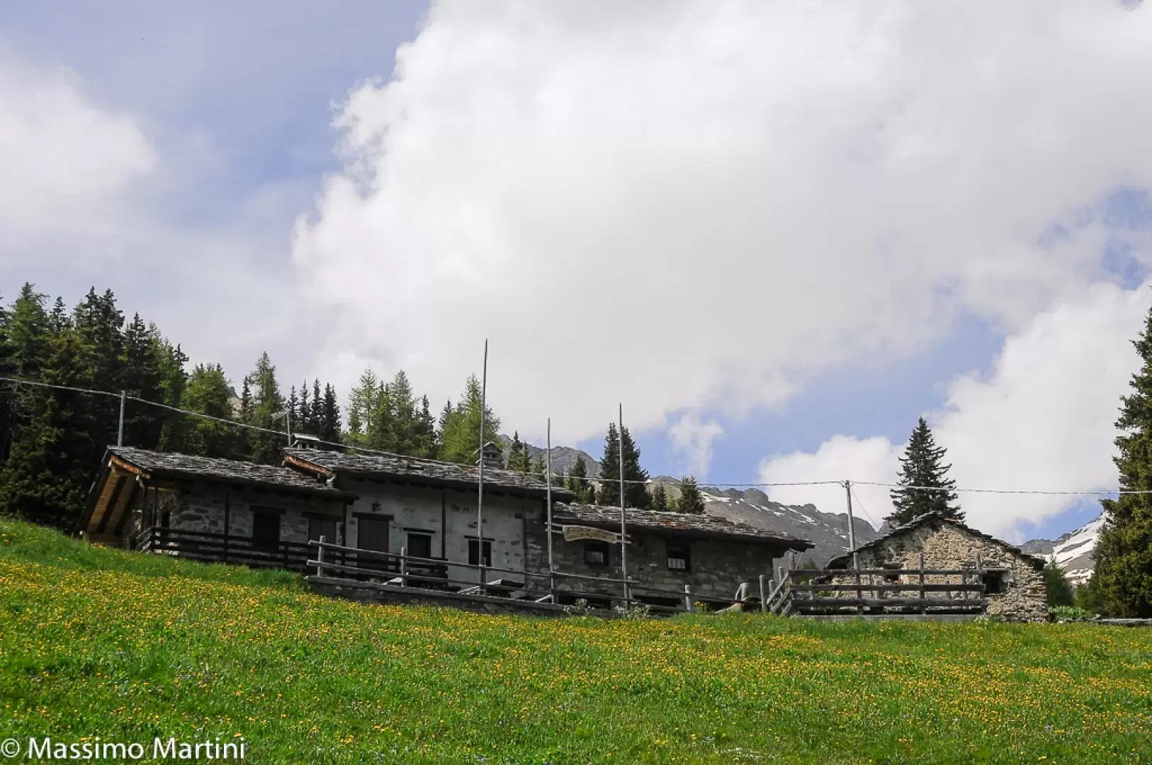
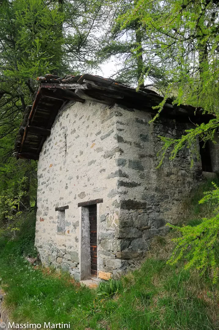
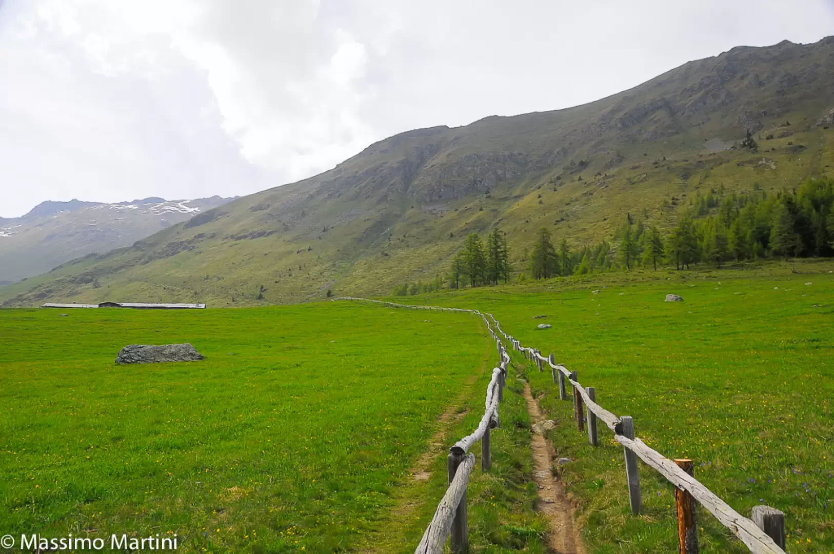
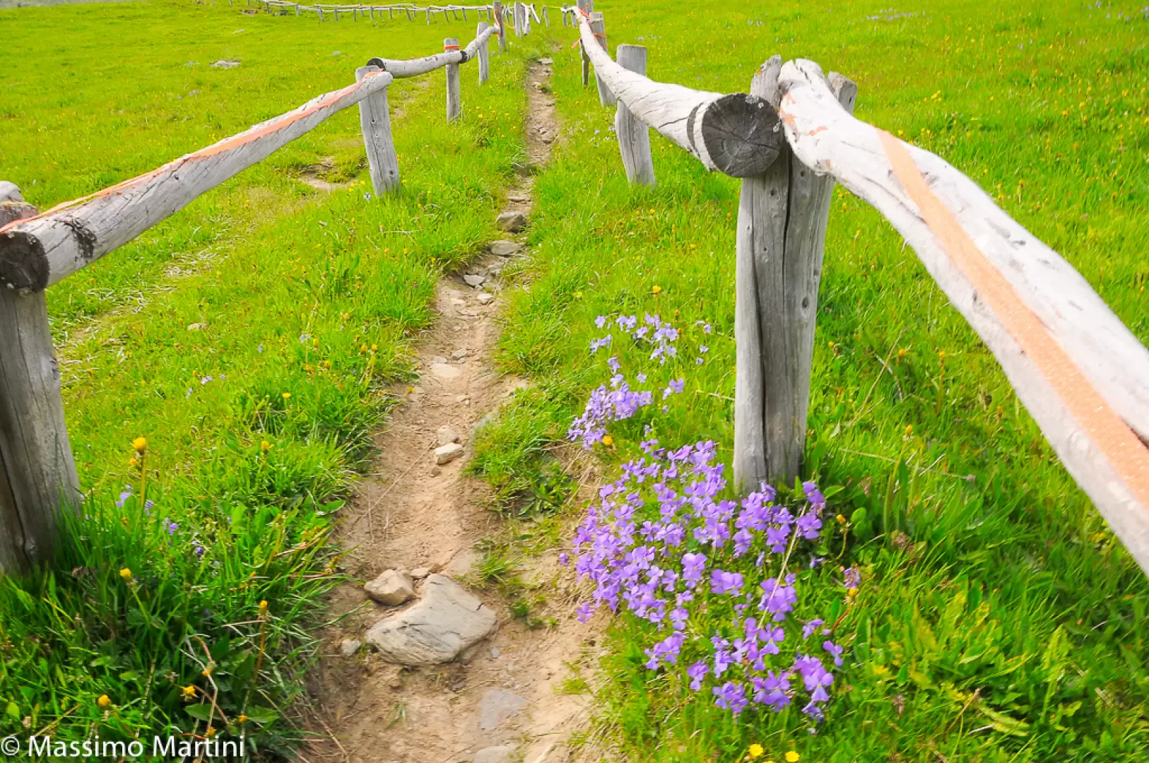
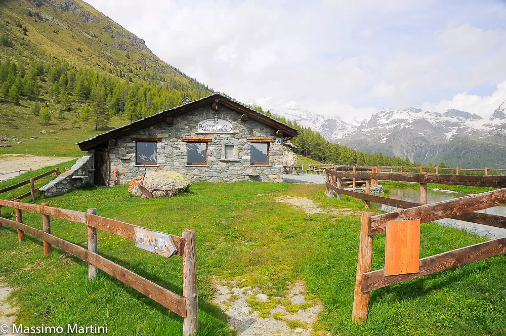
1h00' Leave the track and rejoin the path, continuing to follow the stream. Continue through sparse larch trees before entering a wooded area where there is a small brick cottage which, in the past, served as a rest stop for the streamโ€™s caretakers. Continue along the path, which narrows slightly in this section before widening again as it emerges into the vast pastures of Metsan. Now out of the woods, carry on until you come to the picturesque access path to the farm holiday accommodation, consisting of two long parallel railings. Turn right and head up the pasture until you reach the โ€œLa Tschavanaโ€ farm holiday accommodation (2022m).
1h30' Begin the return journey by following the farm track leading to the farmhouse until you reach the stream again near Granon. Now retrace your steps along the route taken on the way out until you reach Chavannes, where you turn right, first descending a footpath and then a track to the Barmasc car park 1h10'.

Photo gallery

Ru Courtaud
© 2014 - Massimo Martini
Palina alla partenza
© 2014 - Massimo Martini
L'area attrezzata di Barmasc
© 2014 - Massimo Martini
La salita per Pian Tchantchavellร 
© 2014 - Massimo Martini
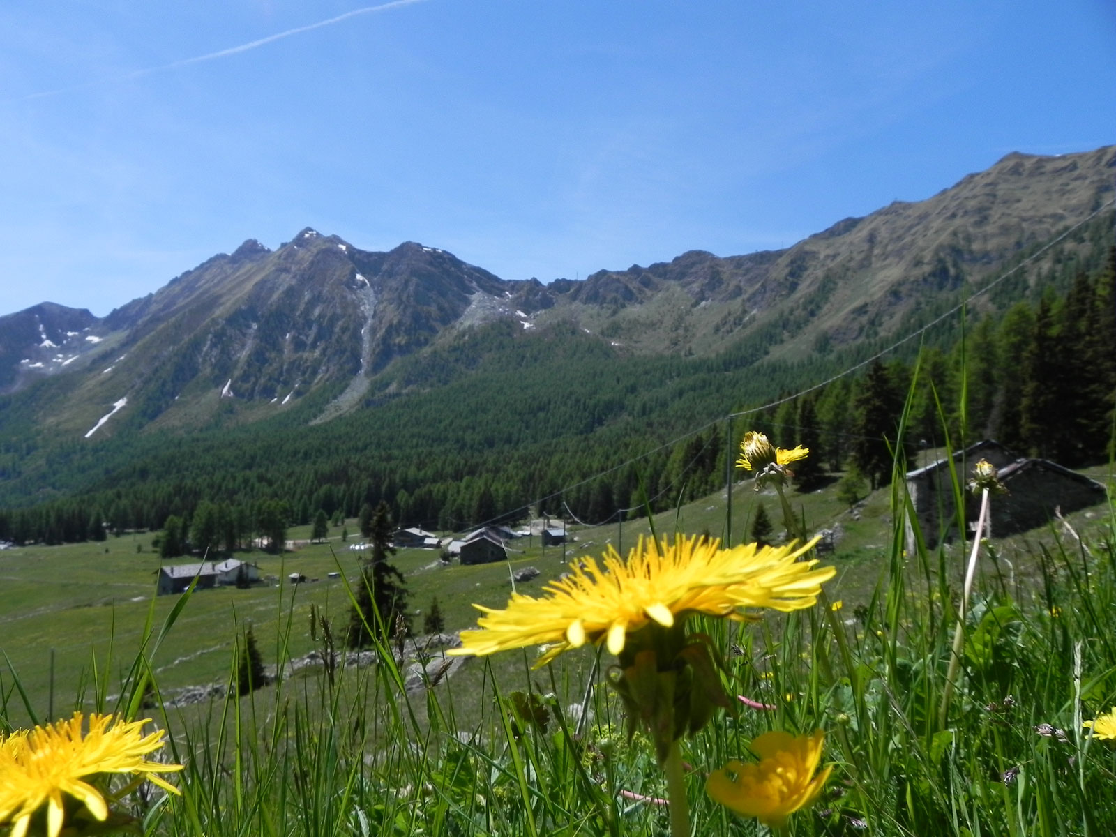
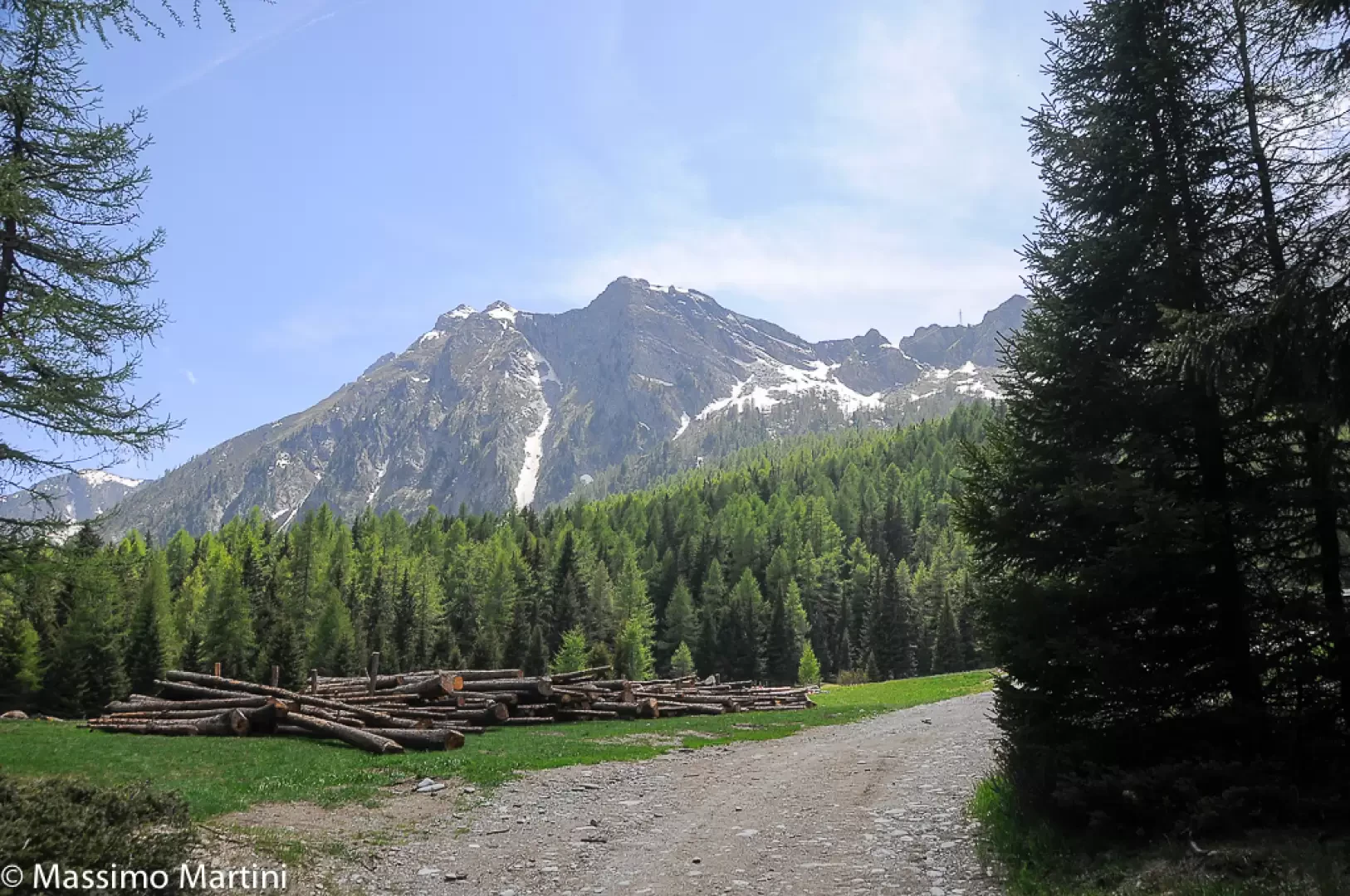
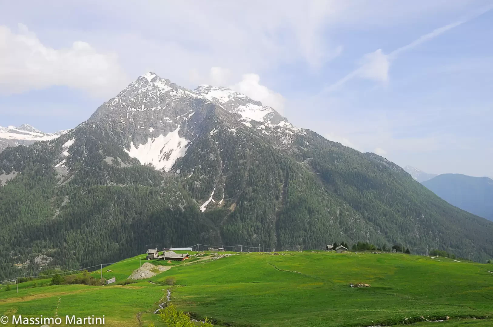
Pian Tchantchavellร  e lo Zerbion ยฉ2014 Massimo Martini
© 2014 - Massimo Martini
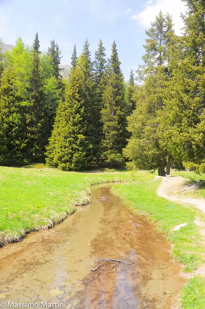
Si incontra il Ru Courtaud ยฉ2014 Massimo Martini
© 2014 - Massimo Martini
Ponticelli e panchine ยฉ2014 Massimo Martini
© 2014 - Massimo Martini
Costeggiando il ru ยฉ2014 Massimo Martini
© 2014 - Massimo Martini
Chavannes ยฉ2014 Massimo Martini
© 2014 - Massimo Martini
Ru Courtaud ยฉ2014 Massimo Martini
© 2014 - Massimo Martini
Agriturismo Corneil ยฉ2014 Massimo Martini
© 2014 - Massimo Martini
Ru Courtaud ยฉ2014 Massimo Martini
© 2014 - Massimo Martini
Ru Courtaud ยฉ2014 Massimo Martini
© 2014 - Massimo Martini
Riflessi ยฉ2014 Massimo Martini
© 2014 - Massimo Martini
Casotto dei guardiani ยฉ2014 Massimo Martini
© 2014 - Massimo Martini
Verso "La Tschavana" ยฉ2014 Massimo Martini
© 2014 - Massimo Martini
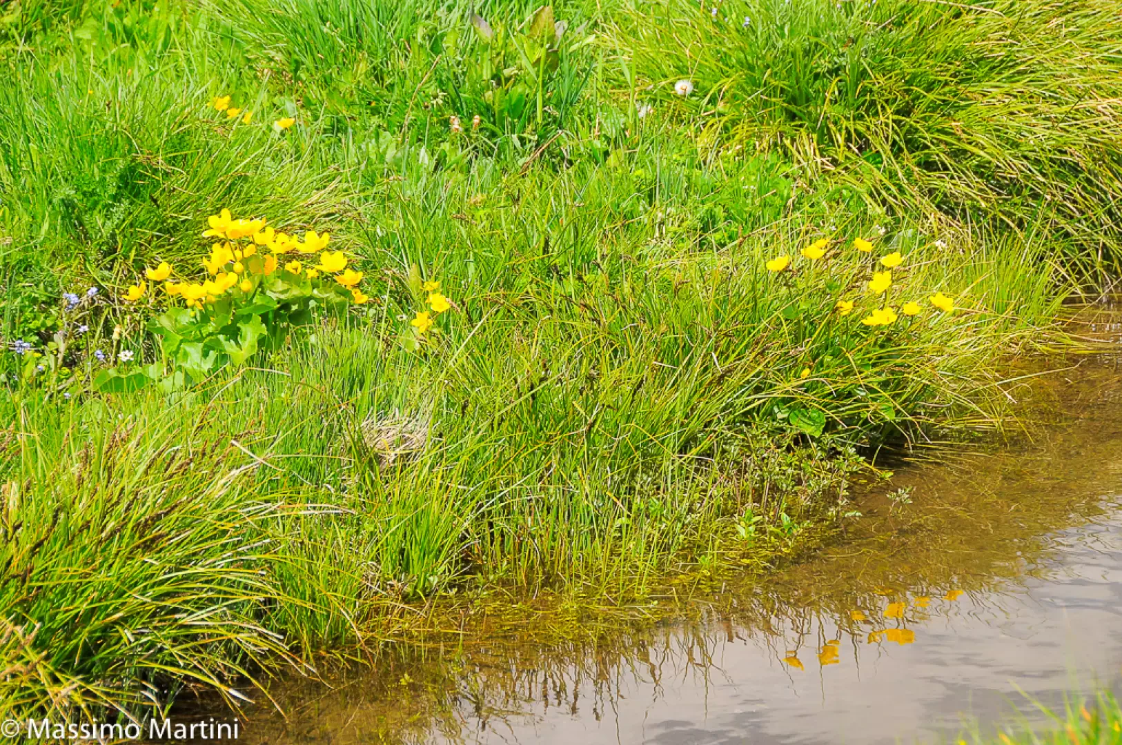
Fioriture ยฉ2014 Massimo Martini
© 2014 - Massimo Martini
"La Tschavana" ยฉ2014 Massimo Martini
© 2014 - Massimo Martini
Neo arrivati al pascolo ยฉ2014 Massimo Martini
© 2014 - Massimo Martini
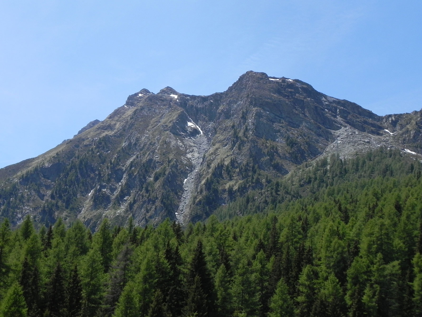
Punta Piurรฉ
© 2014 - Massimo Martini
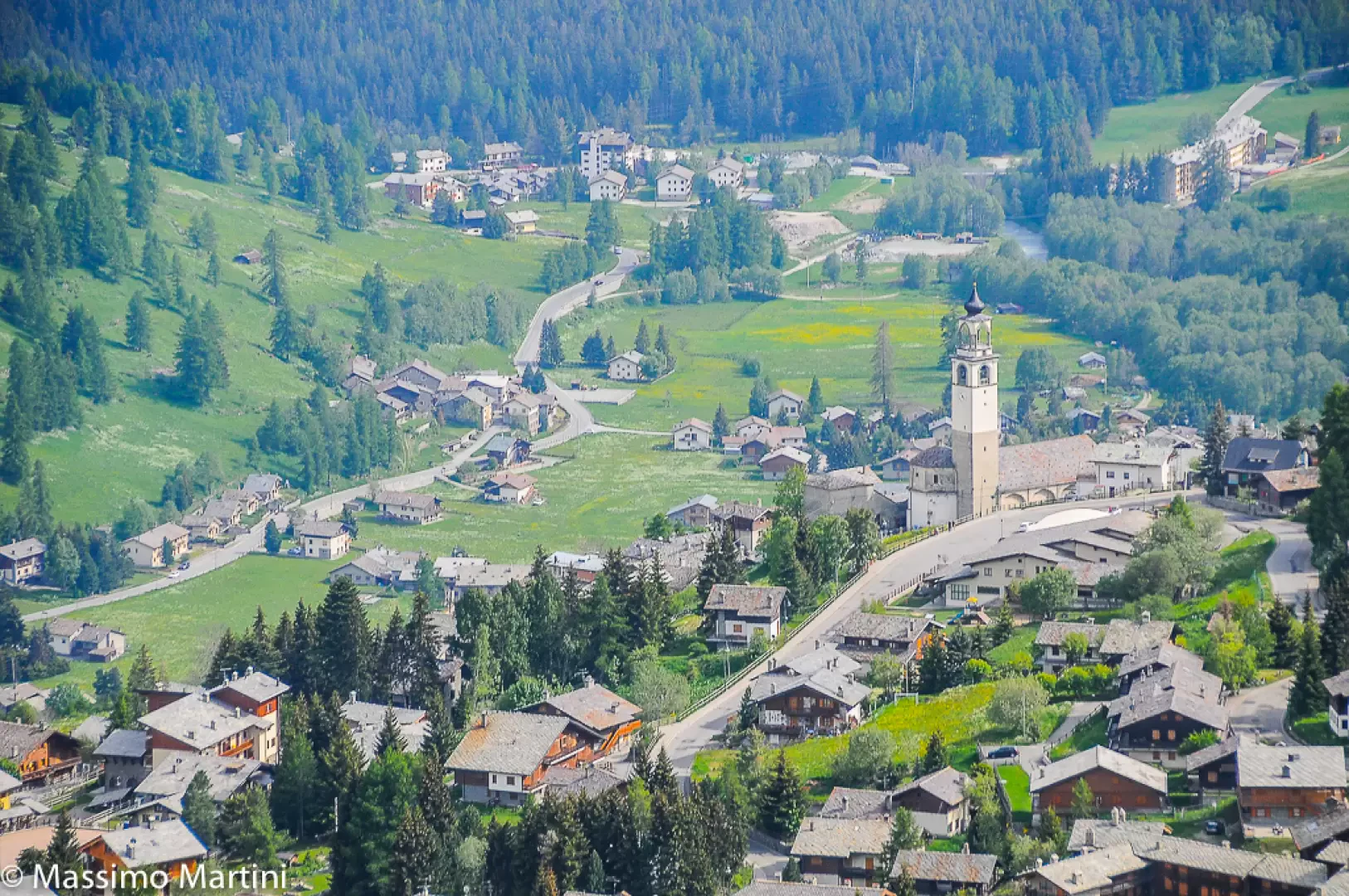
Antagnod
© 2014 - Massimo Martini
We have been there
Profile image

Edited by:

Sunday 16 June 2024

Ru Courtaud

Report della gita

Il Ru Courtaud tra Barmasc e il belvedere sul Rosa e Saint Jacques (Val d'Ayas - Ao)

http://www.cralgalliera.altervista.org/anno2020.htm  
http://www.cralgalliera.altervista.org/altre2020.htm


Oltre al solito pdf, con diverse immagini e un po' di altre info: 
http://cralgalliera.altervista.org/RuCourtaud020.pdf


Altre gite in zona: 
http://cralgalliera.altervista.org/GiteValleDAostaC.htm


Articolo sulla Val D'Ayas, uscito anni fa su 'Escursionismo' della Fie: 
http://cralgalliera.altervista.org/ayasfin.pdf

 
Di seguito alcune info di massima, con una breve descrizione sintetica.
 
Accesso: Si esce dall'autostrada a Verres. Dopo si risale la val d'Ayas e oltre Brusson, da Corbet, si devia a sinistra per Antagnod. Quasi allโ€™uscita di questo ultimo, si piega ancora a sinistra per la localitร  di Barmasc 1880 m, dove si lascia l'auto (una trentina di km dal casello). Il parcheggio a fine strada รจ vasto, ma, nei fine settimana, รจ facile trovarlo giร  pieno anche molto presto!
 
Approfondimento: Il Ru Courtaud รจ un canale irriguo molto antico,vecchio di oltre 600 anni. Infatti, le sue prime notizie risalgono alla fine del Trecento! Esso serviva per portare a valle l'acqua dall'alta montagna fino a St. Vincent. Da un punto di vista escursionistico, il tracciato, lungo circa 25 km sui 2000 m di quota, parte dal colle di Joux (all'inizio con molte gallerie). Una serie di pannelli esplicativi raccontano il percorso nella parte centrale/finale e in questo ambito si sviluppa la gita.
 
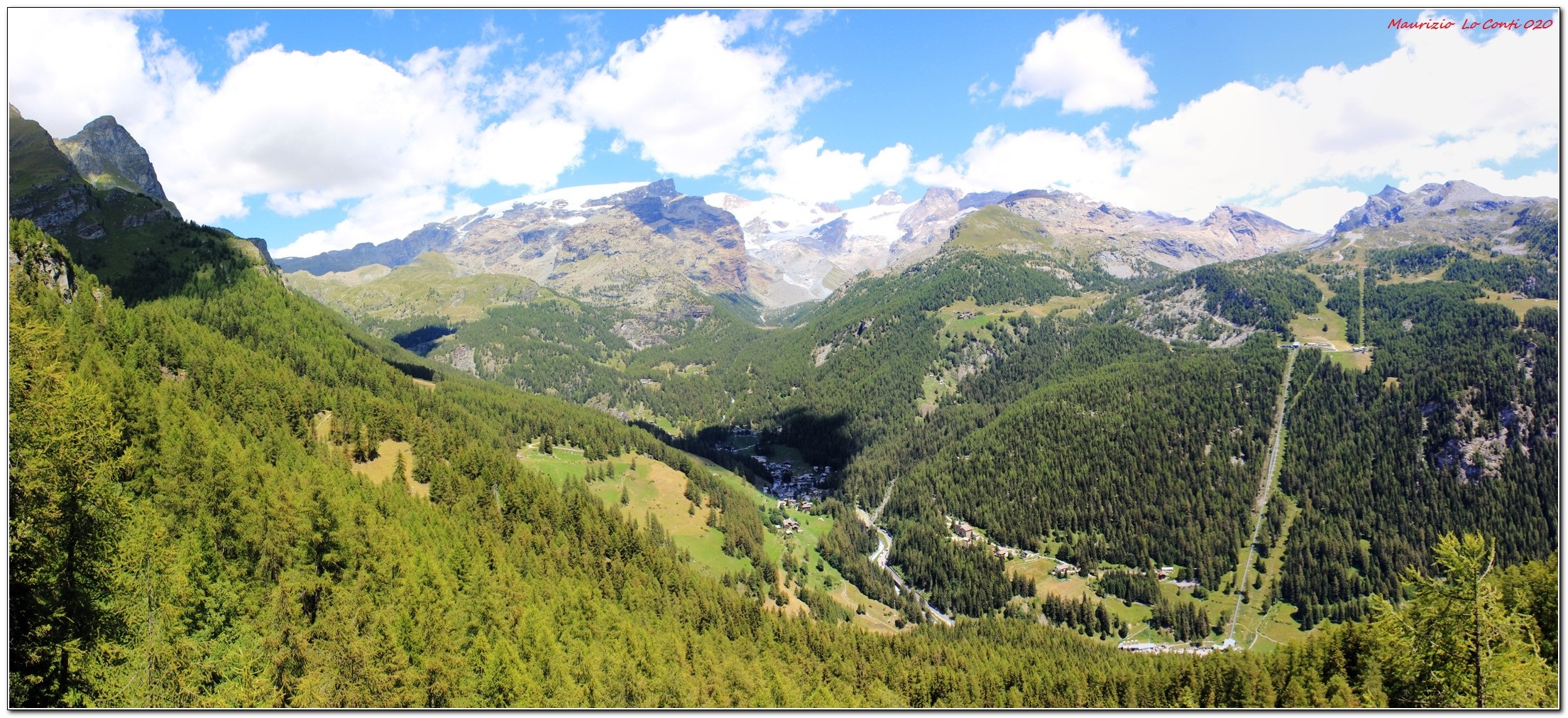
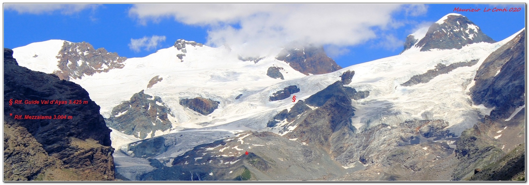
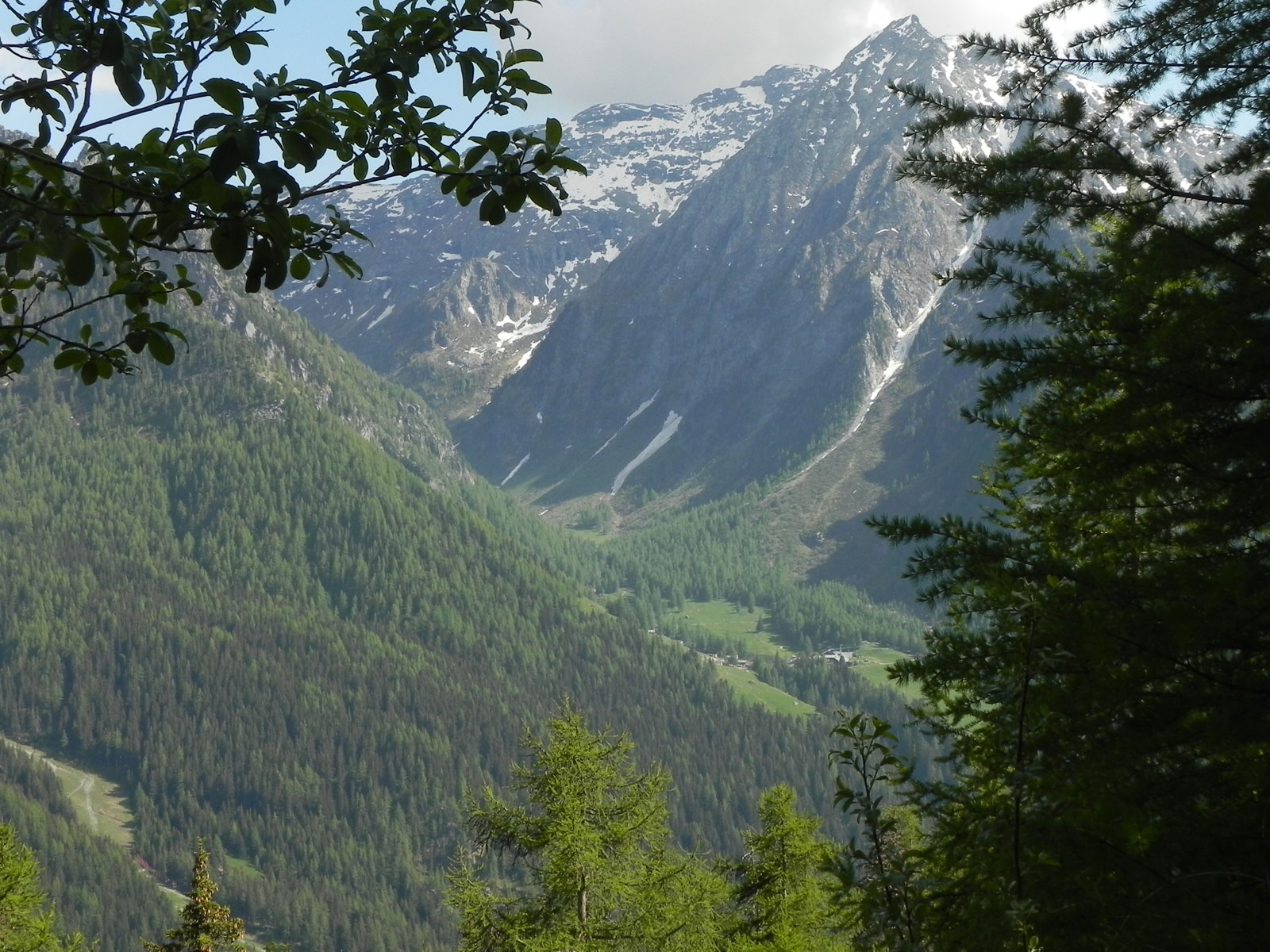
Descrizione breve: Da Barmasc si sale nel bosco fino ad una radura dove si incrocia il percorso da seguire a destra, quasi in piano: l'alveo del Ru Courtaud accompagna ora il sentiero. Si ignora l'agriturismo Alpe Corneuil e poi si sfiora il ristoro La Tchavana di Metsan. Si giunge infine da una costruzione in cemento dalla quale esce lโ€™acqua che alimenta il ru. In alcune relazioni lette sembrerebbe che non si possa andare dritti e si sale a sinistra. Ma probabilmente ora รจ stato ripristinato. Si insiste sempre sulla via piรน ampia che, in un paio di tornanti, conquista un bel punto panoramico sul gruppo del Rosa e Saint Jacques (2h30).
In definitiva: Diff. T molto molto facile - Disl. 200 m - 4h30 AeR โ€“ quasi 16 km AeR (soprattutto all'andata ad un ritmo superiore al solito).
 
NB: in caso di gita, verificare, sempre, con FIE, Cai, eventuale Ente parco o altre Istituzioni, pro loco, ecc., che non ci siano state variazioni che abbiano aumentato le difficoltร ! Si declina ogni responsabilitร . Il presente testo ha solo carattere puramente indicativo e non esaustivo.
 
Buon cammino 
Maurizio

Informazioni generali

Condizioni via o sentiero: ottime
Pericolo Oggettivo:  nessuno
Tratti esposti: nessuni
Affollamento:

Condizioni meteo

Cielo: sereno
Temperatura:
 

Avvistamenti

Fauna:
Flora:

Galleria fotografica
Comments (0)

New comment added!

Sign in to leave a comment

No comments yet. Be the first to comment!
Profile image

Edited by:

Sunday 16 June 2024

Ru Courtaud

Dopo una pausa forzata ritornare sui sentieri รจ sempre una bellissima sensazione. Per un inizio graduale ecco un classico delle Easy Walks VdA: il Ru Courtaud. La giornata calda ed il sole il "palla" era invitante ma la Val d'Ayas ci ha regalato una discreta frescura con qualche nuvola. Il percorso lungo il "ru" รจ perfettamente percorribile.


Comments (0)

New comment added!

Sign in to leave a comment

No comments yet. Be the first to comment!
Profile image

Edited by:

Thursday 02 June 2011

Ru Courthod

Note Il ru Courthod รจ uno dei canali artificiali costruiti, tra le valli dโ€™Ayas e Valturnanche, nel Medioevo per convogliare le acque dei ghiacciai del monte Rosa allo scopo di irrigare i campi dellโ€™area di Saint-Vincent. Il ru Courthod costruito a partire dal 1393 ha richiesto una quarantina di ani per la sua costruzione, e percorre tutto il versante destro della valle dโ€™Ayas, catturando le acque nel vallone del Courthod ai piedi delle cime Bianche. Dal parcheggio di Barmasc si imbocca la larga via sterrata (indicazioni per Monte Zerbion) che risale lungo la pineta. In pochi minuti si giunge allโ€™ampio ripiano erboso del Pian delle Dame, che รจ tagliato dal ru Courthod. In corrispondenza del corso dโ€™acqua si imbocca il sentiero che costeggia tutto il ru, fino ad arrivare sulla verticale di St. Jaques. Quando il corso del ru arriva in corrispondenza di una costruzione in cemento si imbocca un sentiero che in breve porta su di una strada sterrata ove si svolta a destra, si attraversa una galleria (attenzione alla caduta sassi in galleria), allo sbocco della quale si puรฒ ammirare il Cervino.

Comments (0)

New comment added!

Sign in to leave a comment

No comments yet. Be the first to comment!
Login to post