Rocciamelone, from Rifugio La Riposa


Edited by:
fabio_olmo
Updated at: 28/03/2026
Access
Introduction
Demanding excursion, especially if done in a day, to the ultra-frequented symbol peak of the Susa Valley, which in clear weather conditions offers an exceptional panorama of the peaks of Piedmont, Aosta Valley and France.
Description
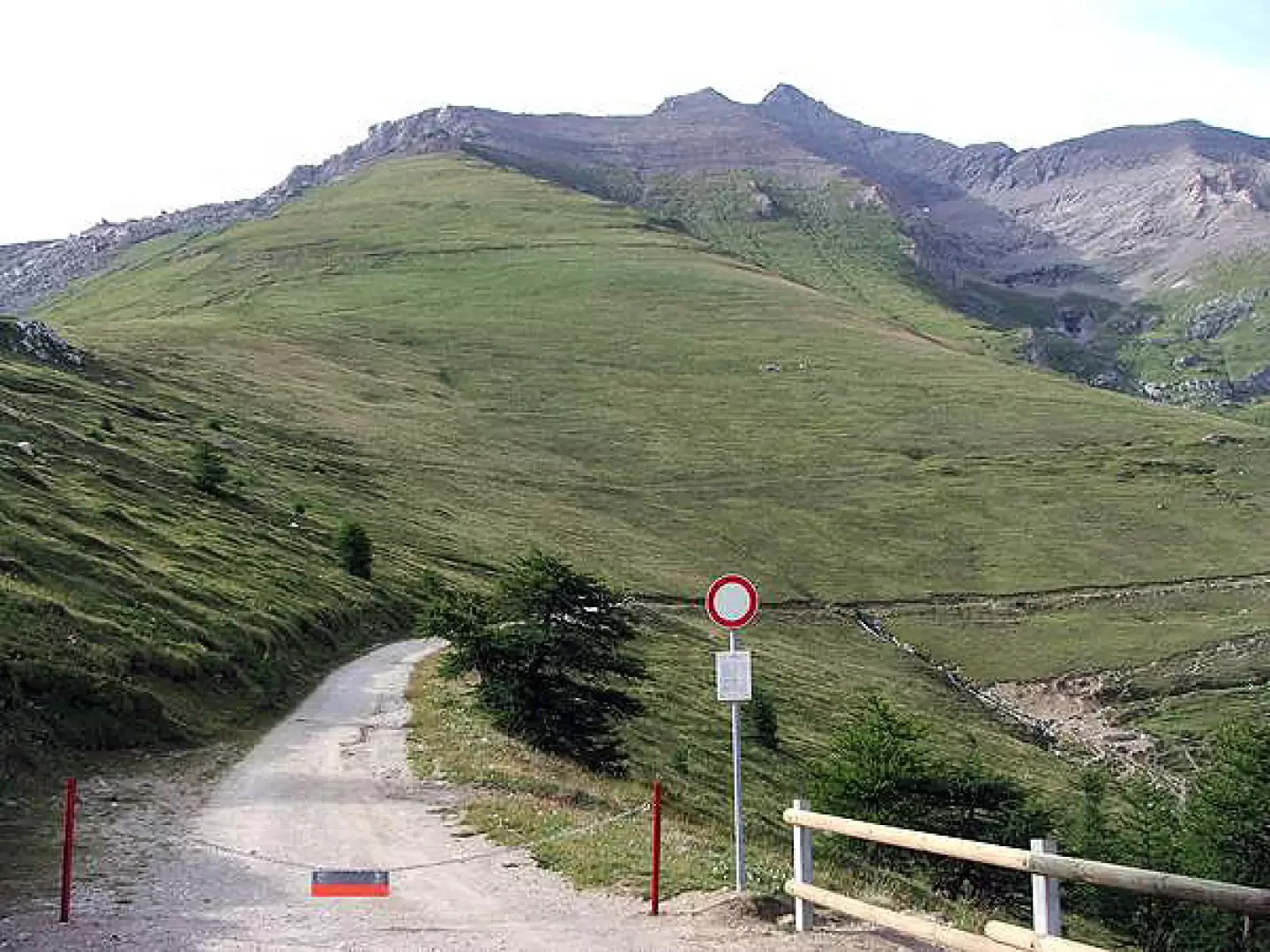
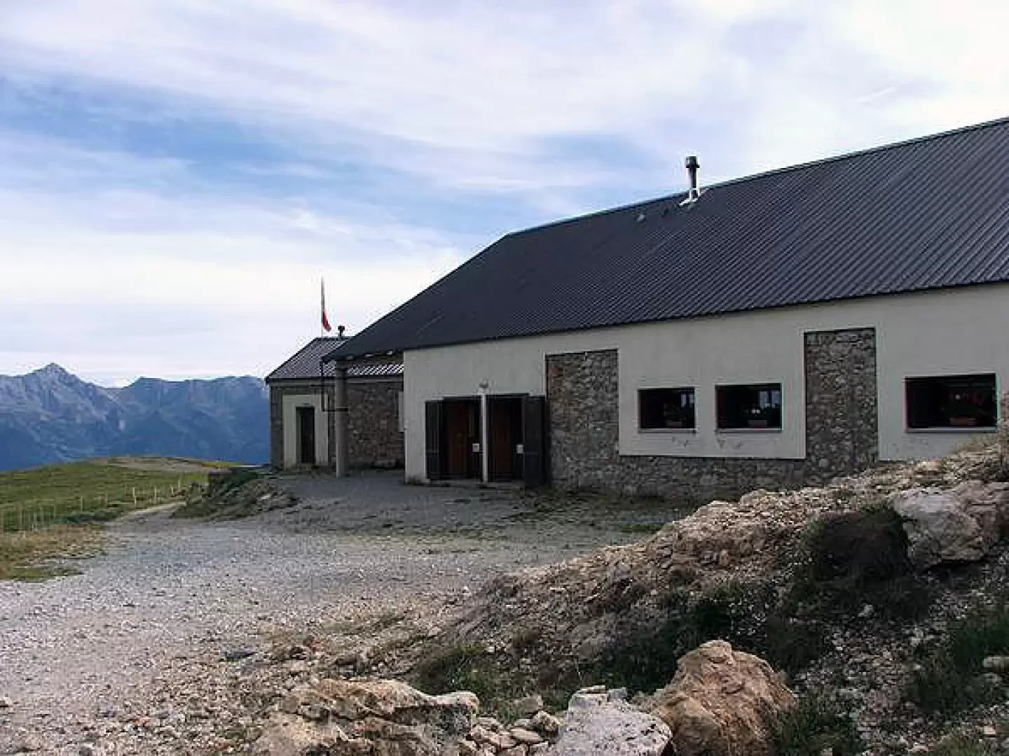
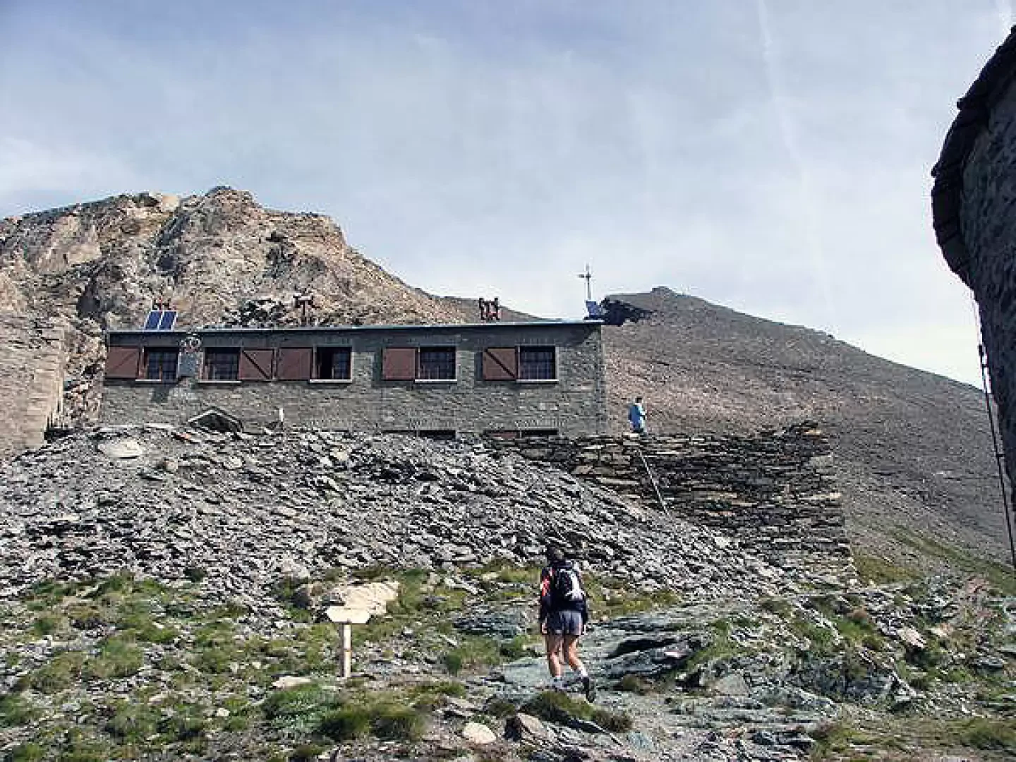
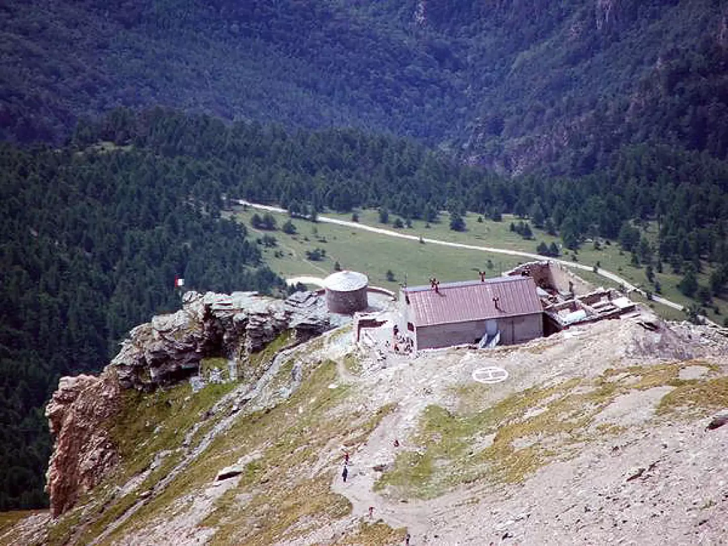
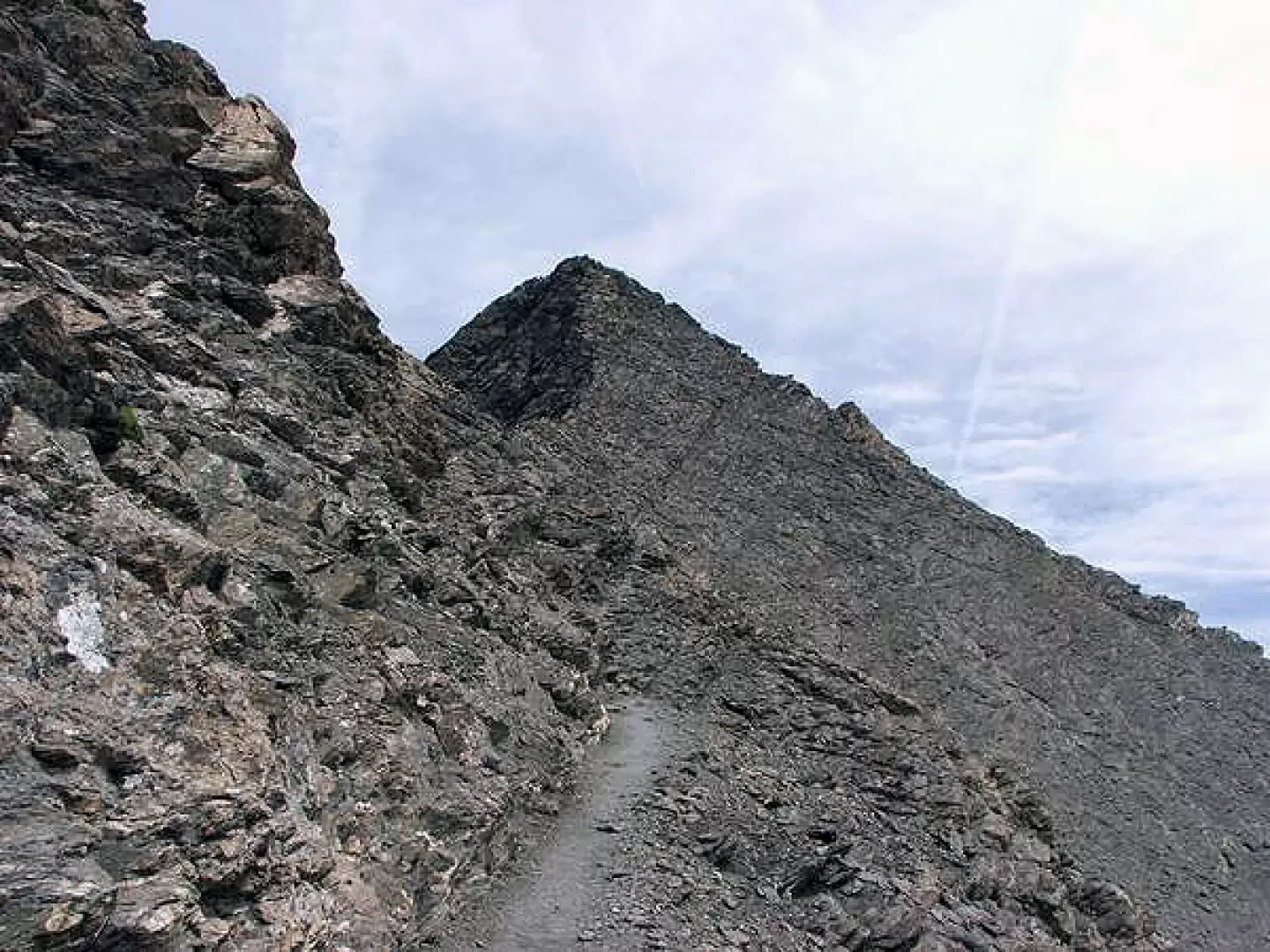
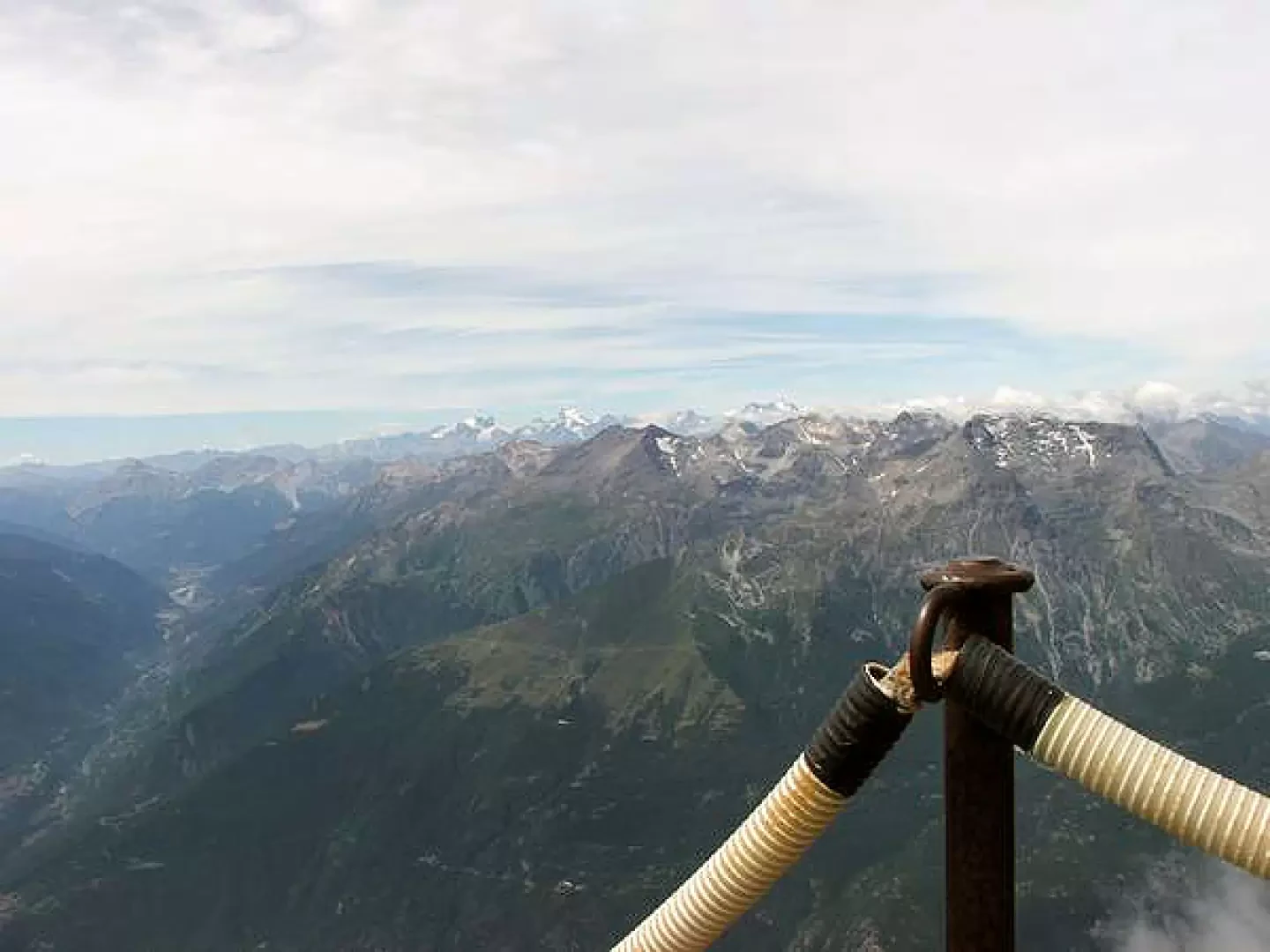
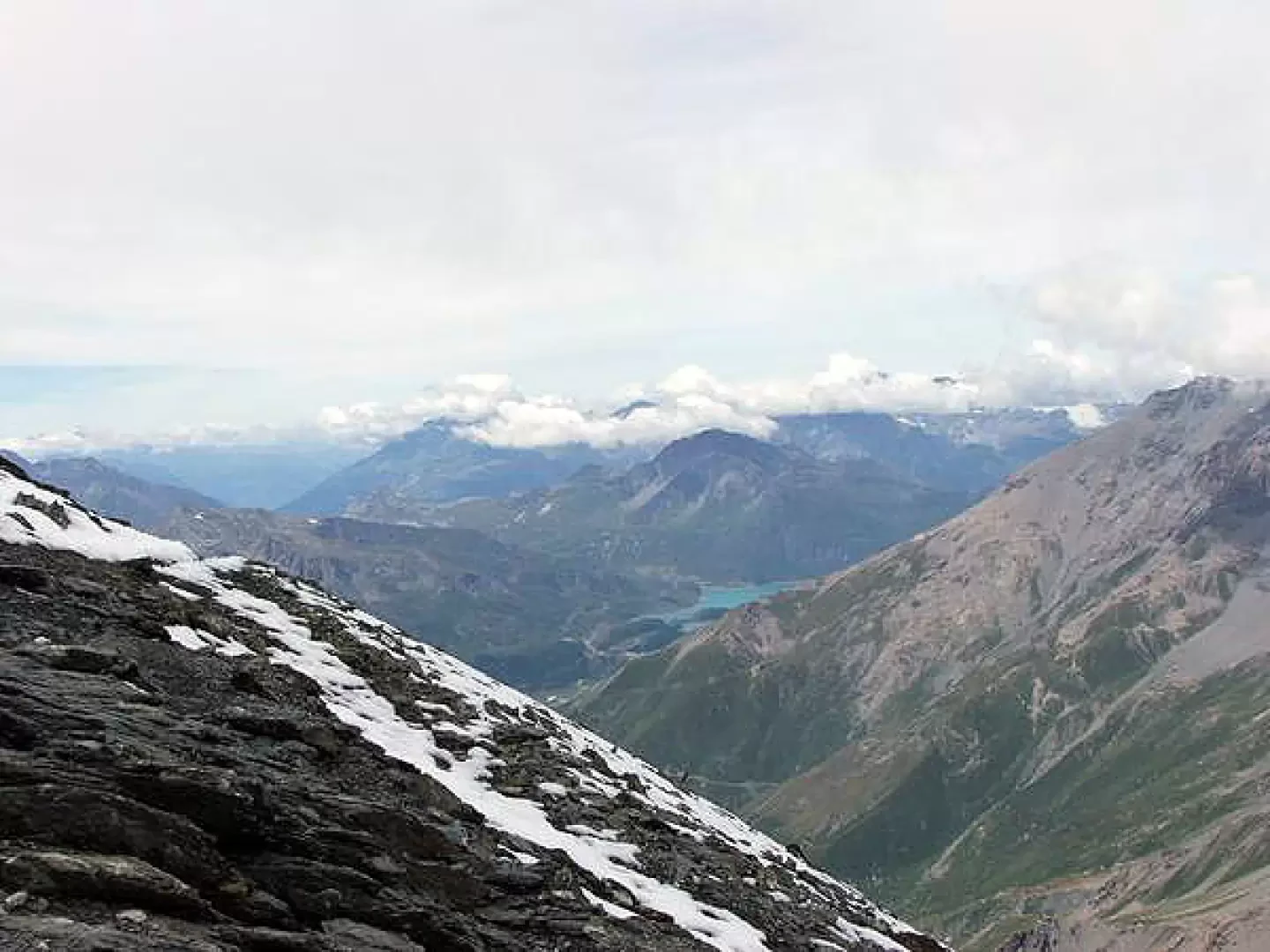
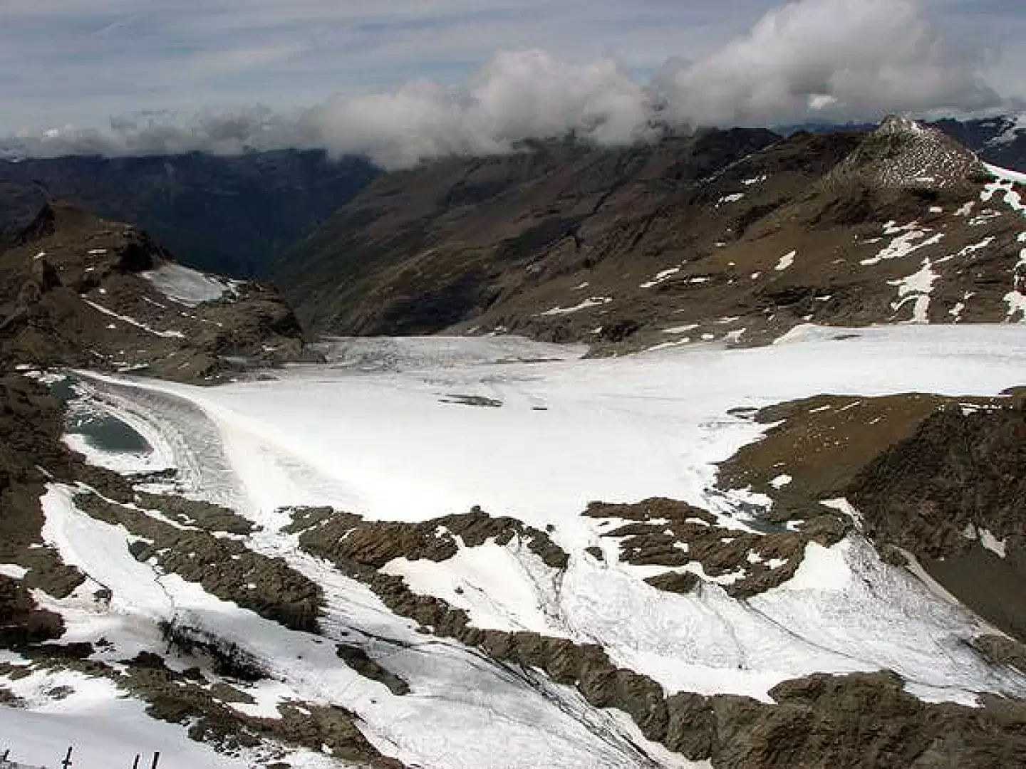
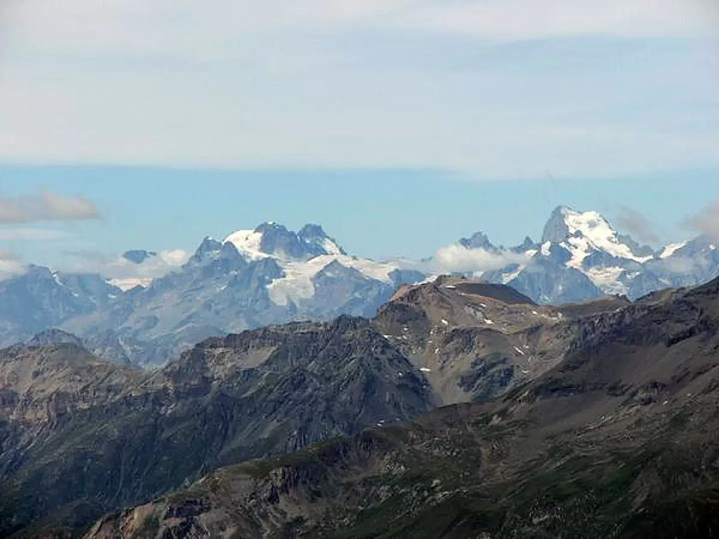
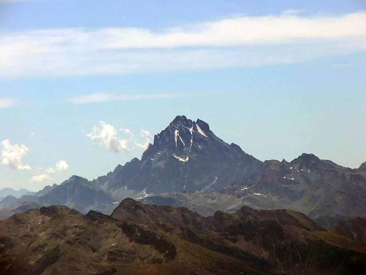
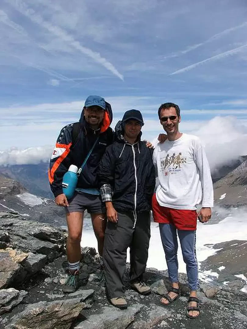
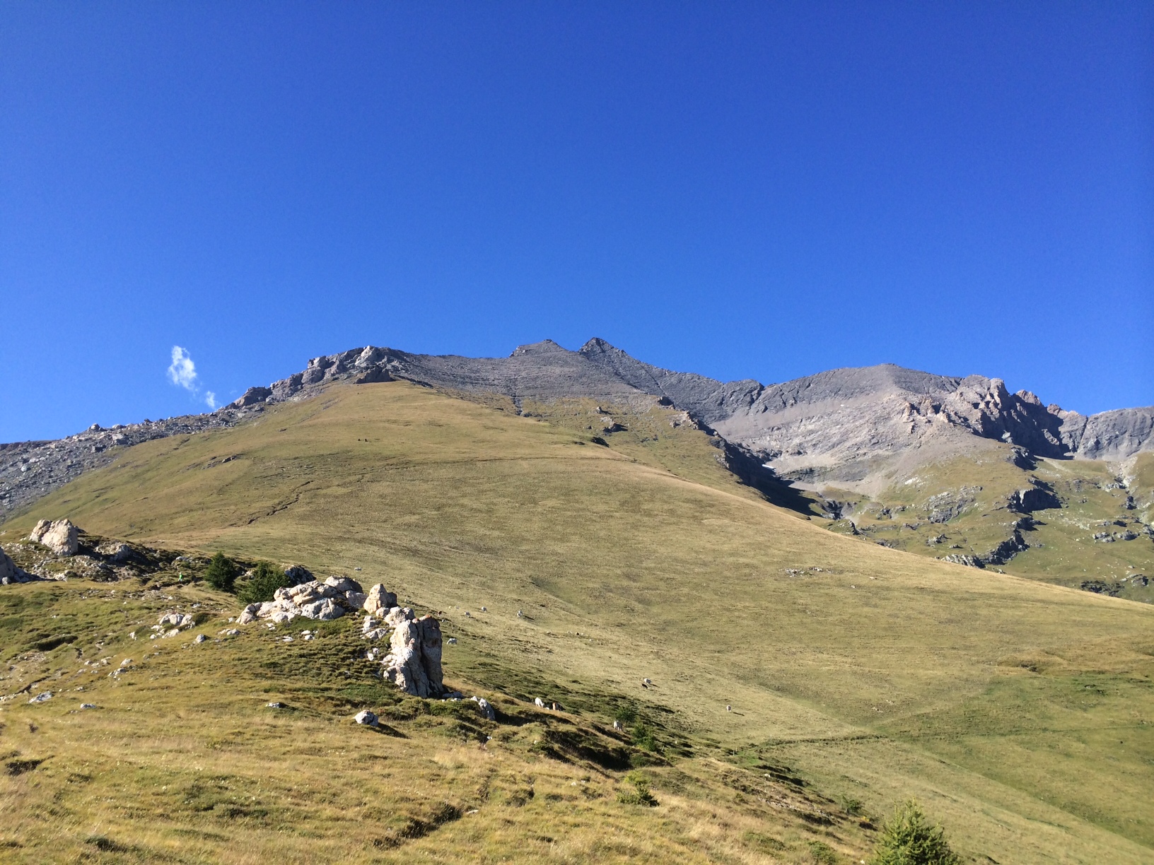
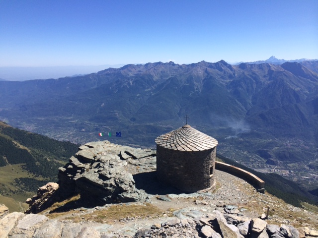
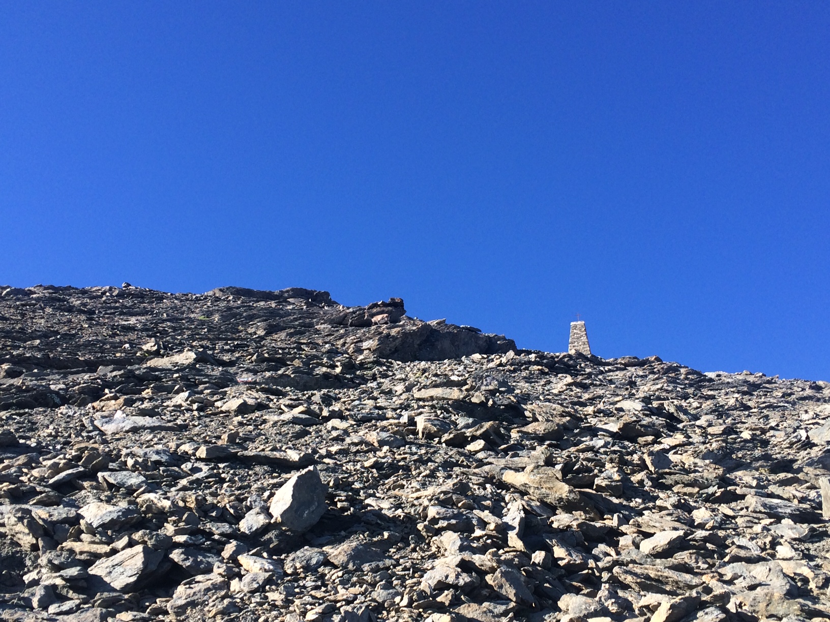
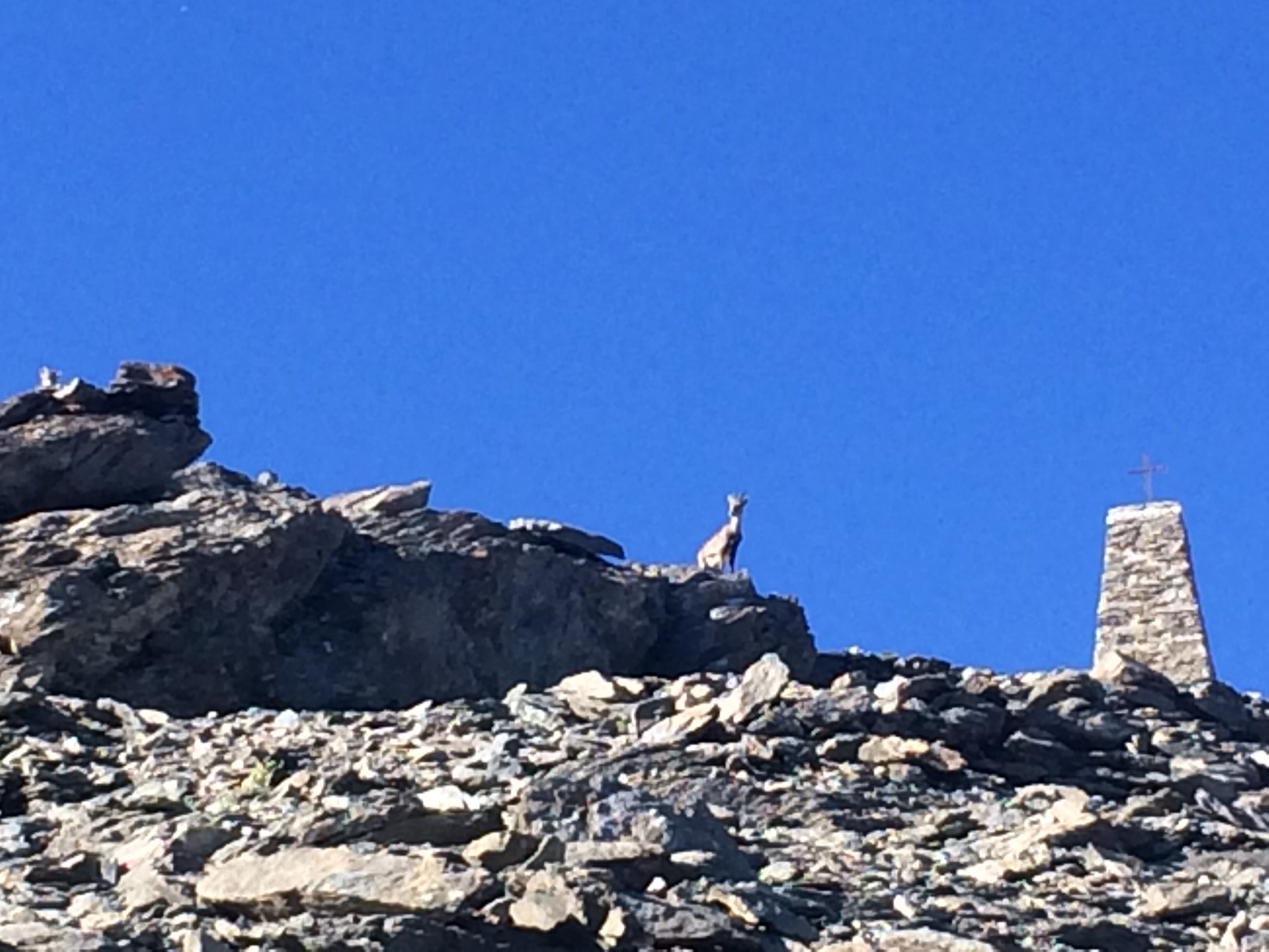
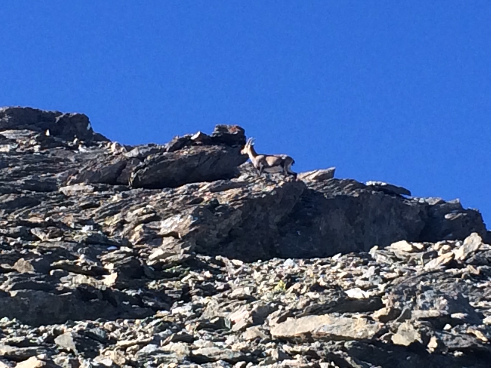
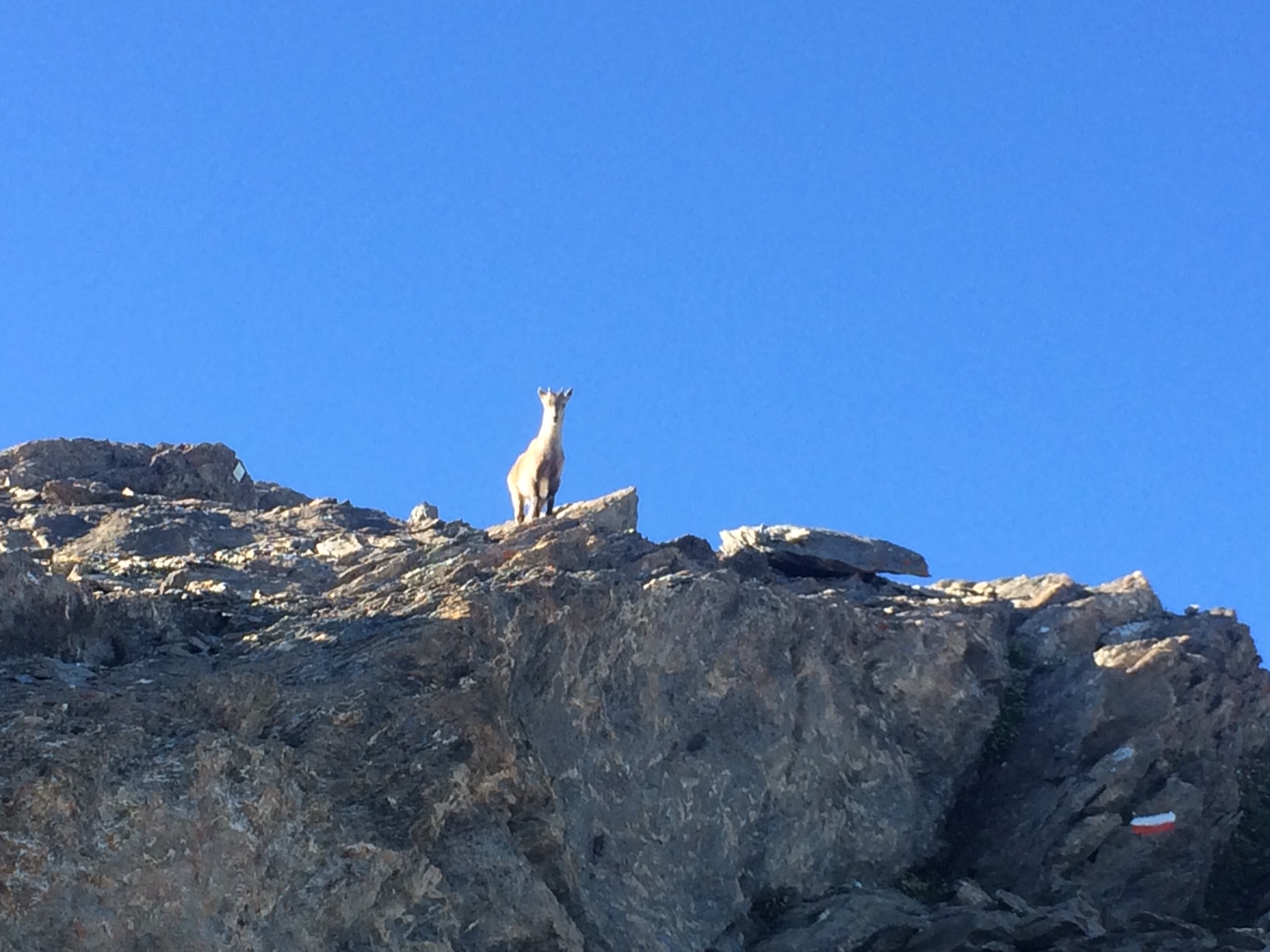
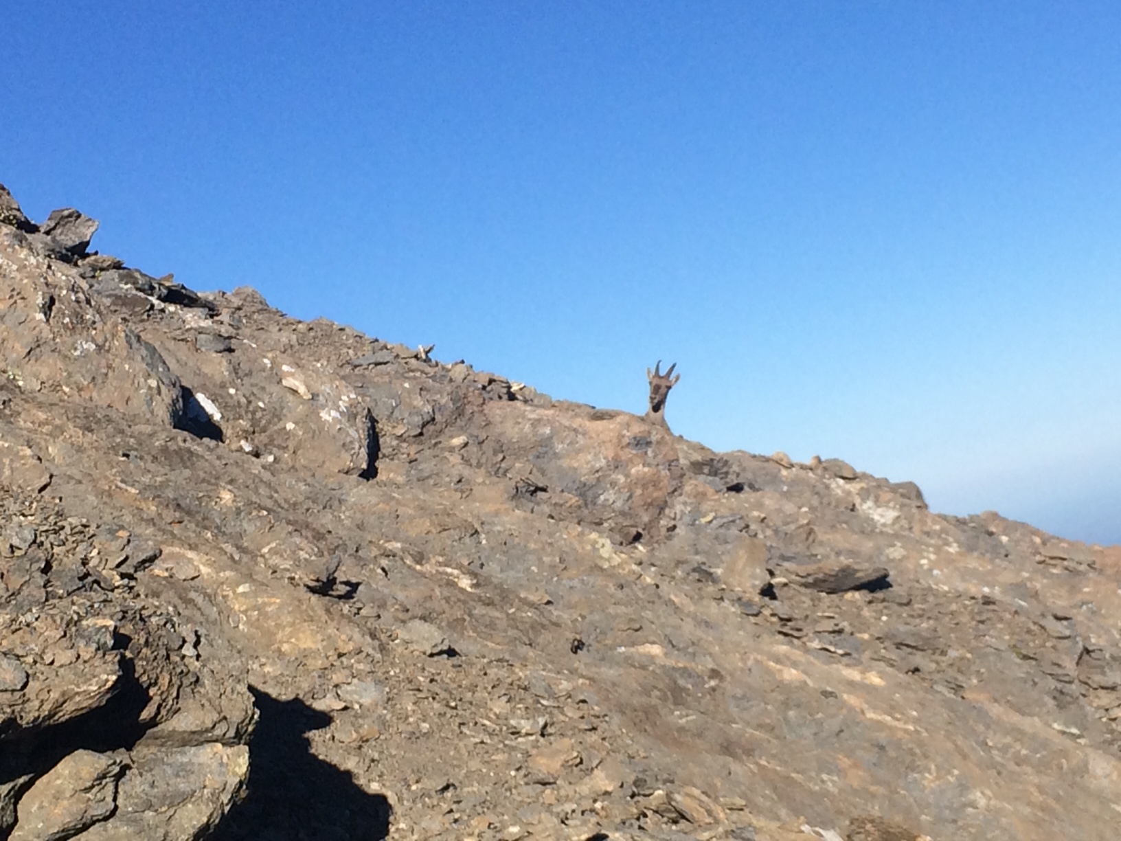
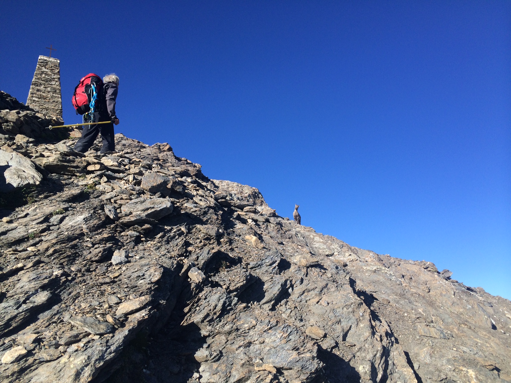
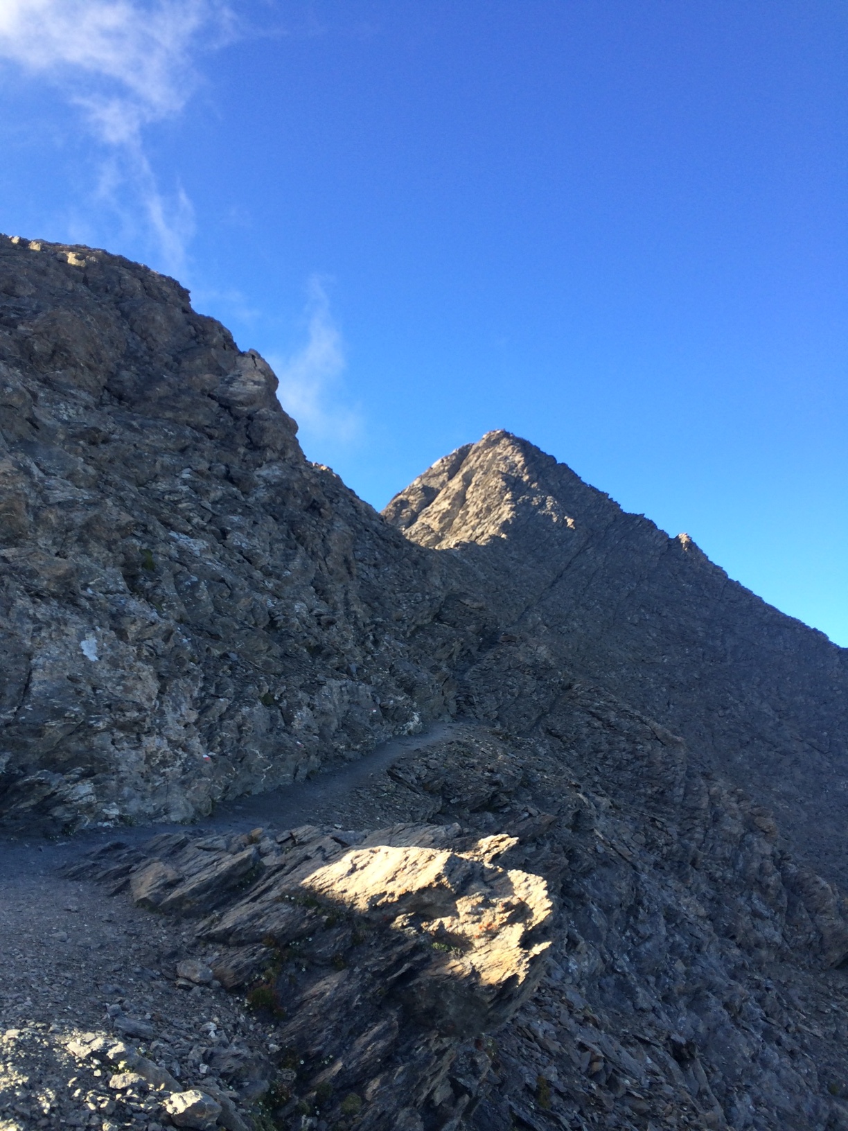
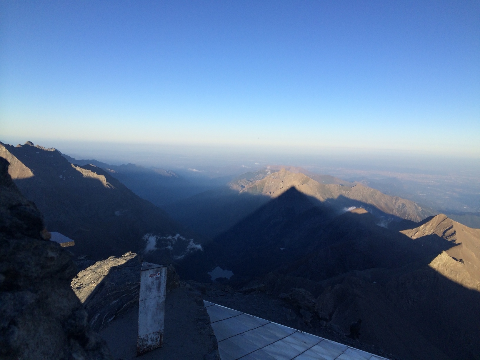
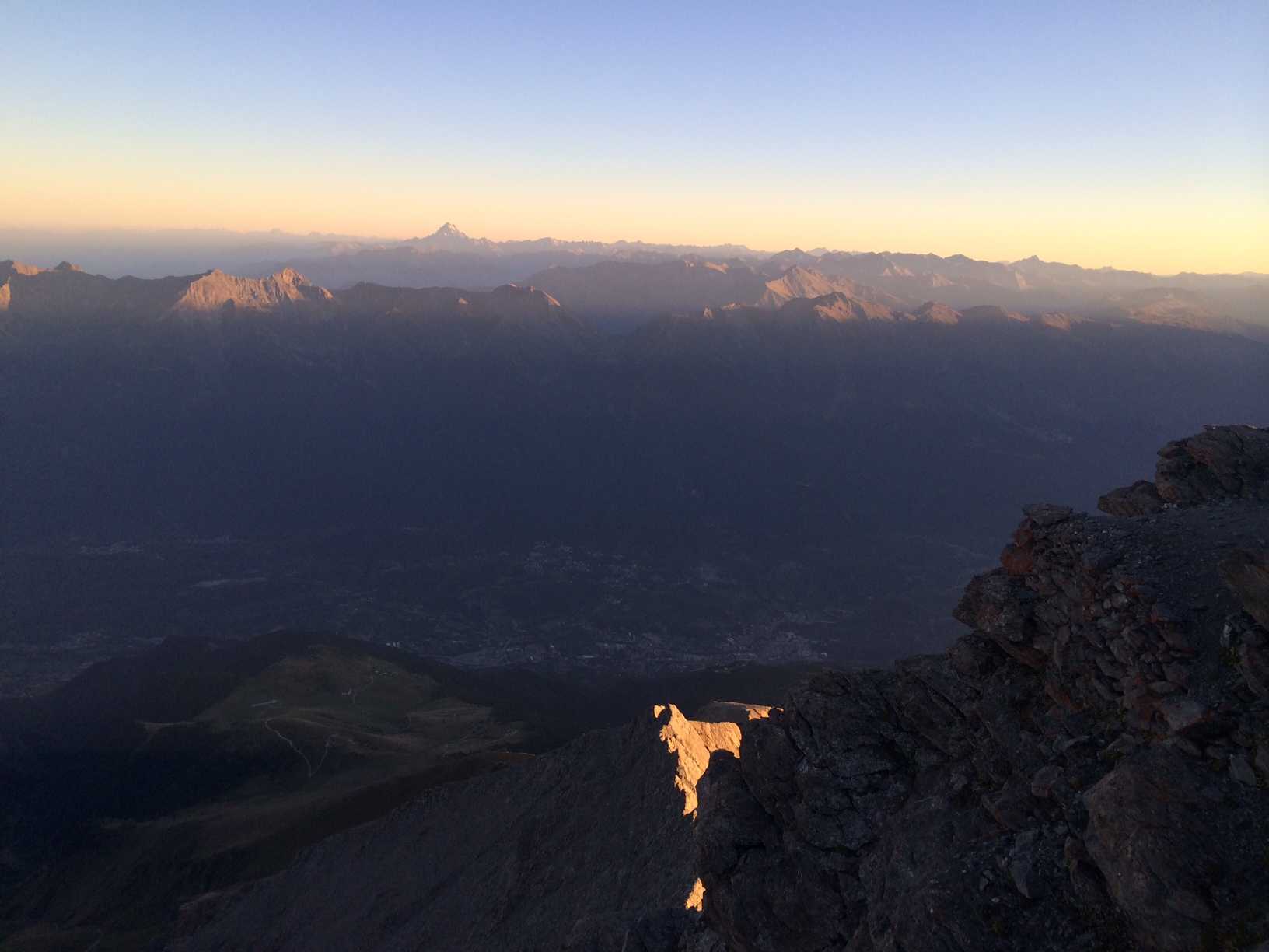
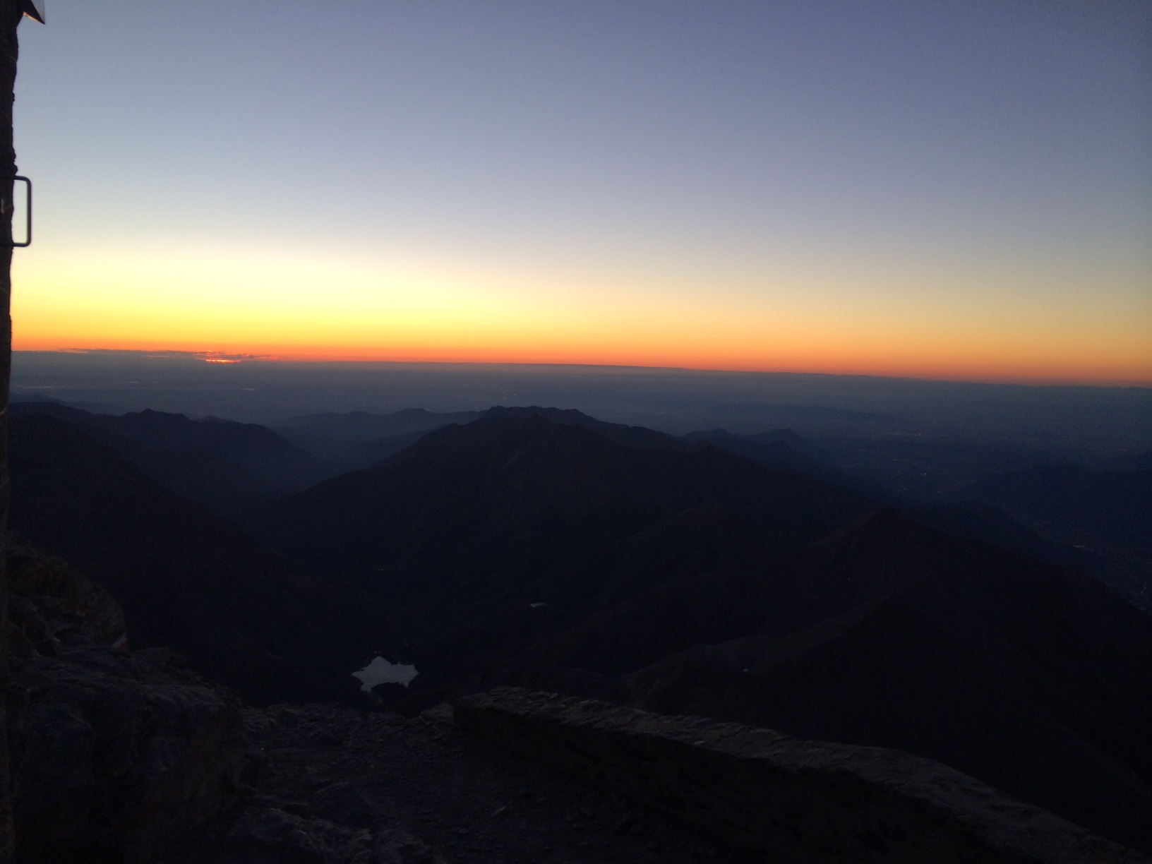
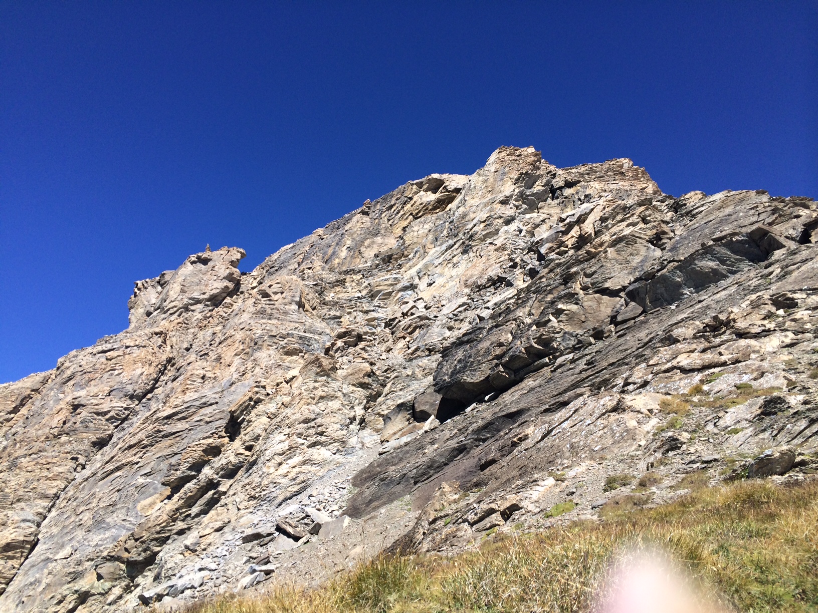
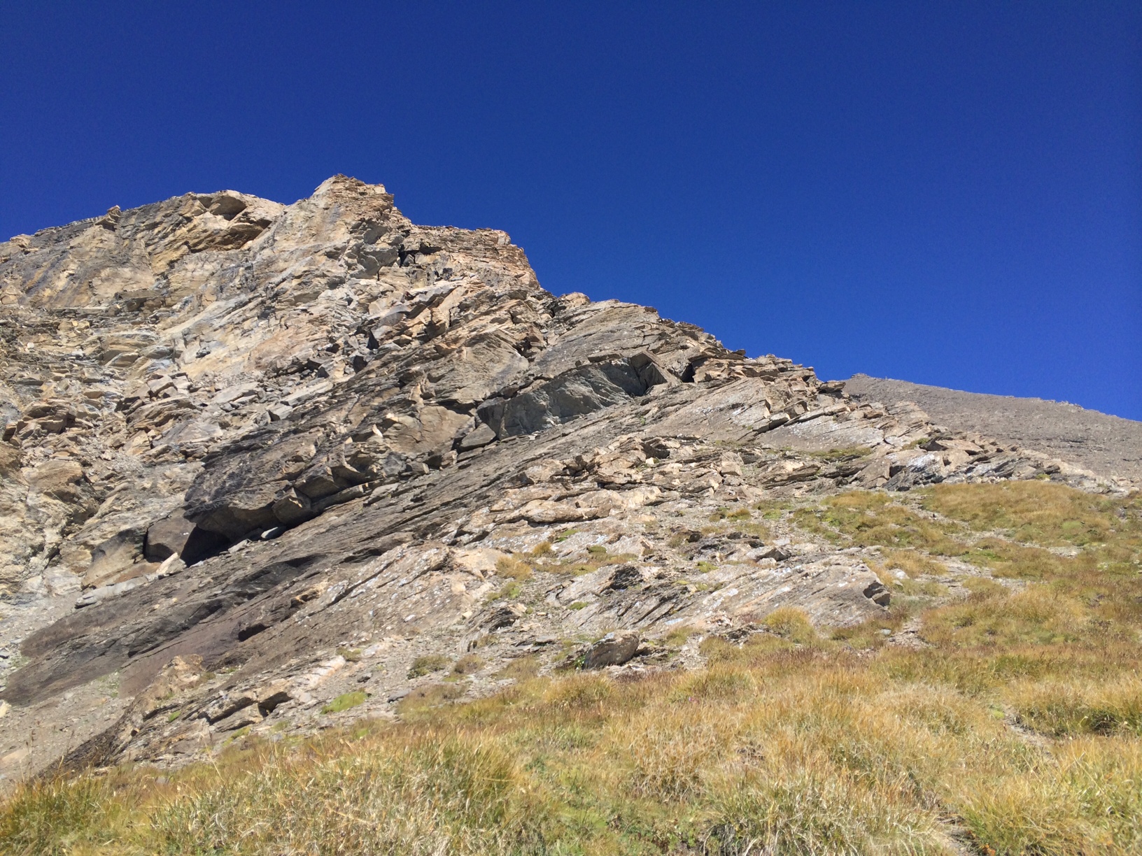
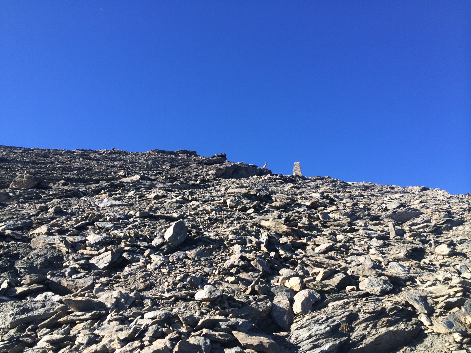
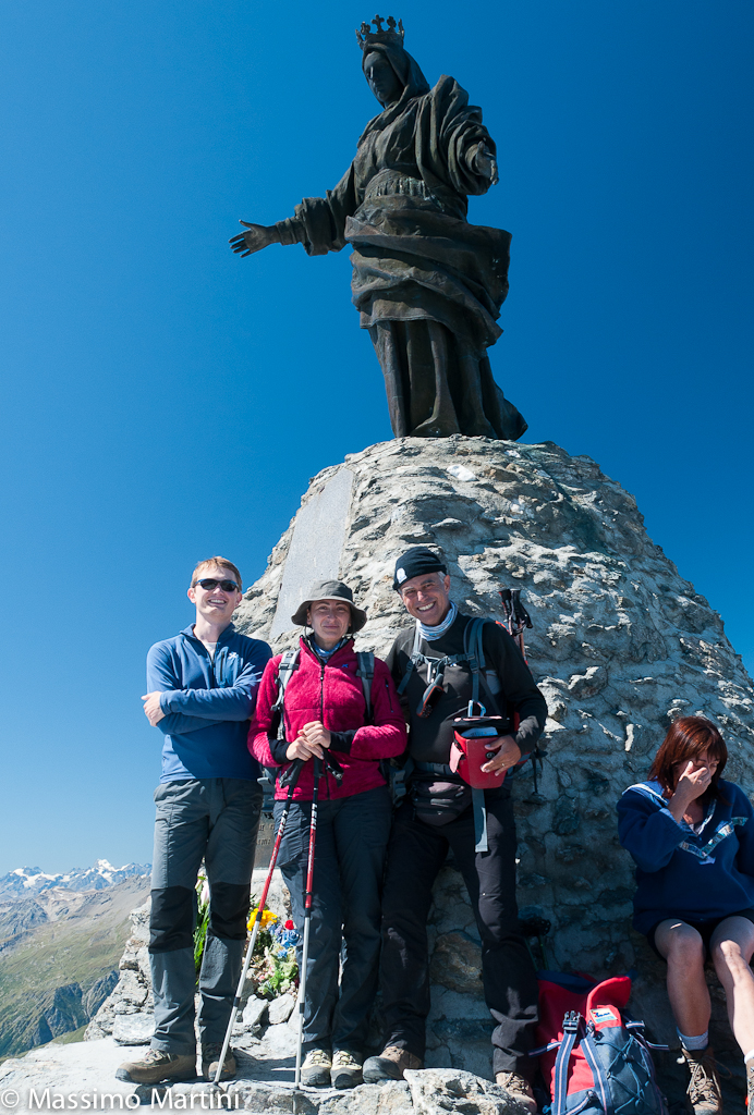
Leaving the car in the square or on the dirt road, from Rifugio La Riposa (tel. 328-2544055 or 333-7009549, 60 beds), take the only path carved out of the beautiful grassy slopes, and begin the ascent to the summit, which has very few short flat stretches. Following the simple and clearly visible signs on the path, after 1h 30' you reach the Cà d'Asti refuge (telephone 0122-33192, 60 beds 2854 m), named after the first climber Bonifacio Rotario d'Asti in 1358. The view from the refuge is rewarding and sweeps over the entire Susa Valley. From the "Cà d'Asti" hut, we now continue on a long and treacherous scree slope. After a long traverse, we finally reach a pylon on which the Crocetta di Ferro is cemented, which is reached with a short but steep series of narrow hairpin bends (3,306 m; 3h15'). Here, the panorama begins to open up over the valleys to the north and the French peaks. In front of us now uncovered is Monviso. From the Crocetta di Ferro we can now see the summit and the final, more exposed section dug into the rock, which with the presence of fixed ropes in the last section, perhaps more useful for the descent than for the ascent, takes us to the summit where we find the small "Santa Maria" bivouac, 13 places with a small chapel and the statue of the Madonna delle Nevi, brought to the summit in 1899. The panorama is stupendous over all the western Alps, arriving, on clear days, to see Monviso to the S, the Barre des Ecrins to the W, Mont Blanc and Gran Paradiso to the N, Monte Rosa to the NE and the Turin hills to the SE. To the N, the ever-smaller Rocciamelone glacier. The descent is along the same route. There are two other direct routes to the summit from the Malciaussia lake, one excursion via the Colle della Croce di Ferro and one alpine route via the Rifugio Tazzetti and the Rocciamelone glacier. The first documented ascent of the mountain dates back to 1 September 1358 by Bonifacio Rotario d'Asti: taken prisoner in the Holy Land, he vowed to climb the highest peak in Italy (knowledge of the time) if he was freed.
Galleria fotografica

We have been there

Edited by:
Osvaldo Di Fronzo
Rocciamelone
Introduzione
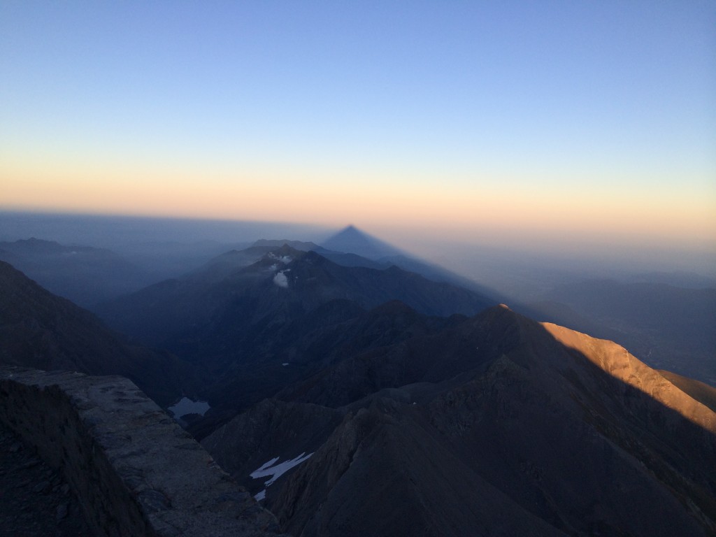
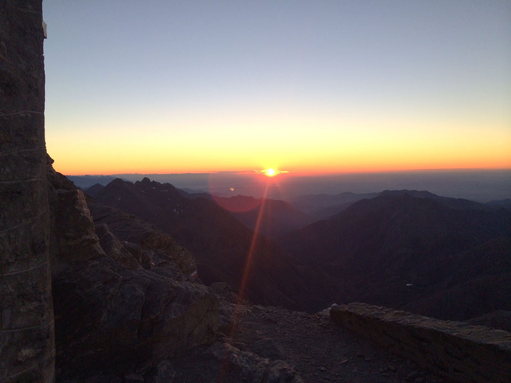
tramonto in vetta....l'ombra della montagna proiettata....nell'aria...
Descrizione
uno spettacolo della Natura...... Un miracolo...?!!

Edited by:
Massimo Martini
Rocciamelone
Edited by:
Massimo Martini
Rocciamelone
