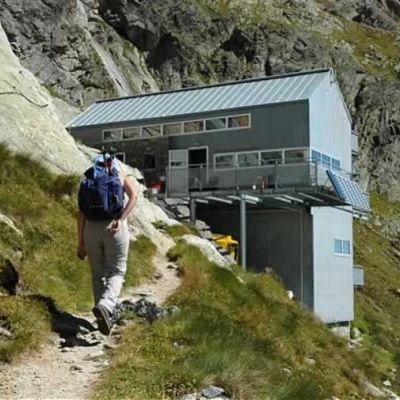
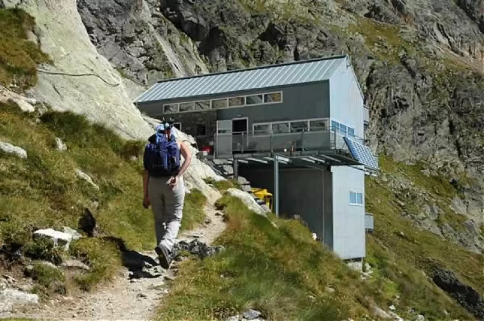
Dalmazzi Refuge, from Arp Nouva
Access
Leave the motorway and, after 450m, leave the motorway junction, turning right onto the regional road for the Cogne valley. After 400m at the roundabout, take the second exit onto the state road to be followed for 32.4 kilometres, passing through and skirting the villages of Saint-Pierre, Villeneuve, Arvier, Avise, Derby, La Salle, Morgex and Courmayeur until reaching the exit for Larzey - Entrèves. Turn right and take the communal road for 12.5 kilometres passing La Palud, Planpincieux and Lavachey before reaching the end of the road near the locality of Arp Nouva: cross the Dora di Ferret on a small wooden bridge before reaching the car park 🅿️ at the end of the wooded scrub.
Please note that during the summer period access is regulated: normally in July and August, access is permitted before 8 a.m. until the available parking spaces are saturated. After this time, a shuttle service is available from La Palud. For any additional information, please consult the special section of the Courmayeur municipality website.
[0h57'] - [45.8km]
How to get there with GMaps
How to get there with Apple Maps
Introduction
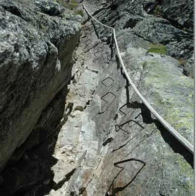
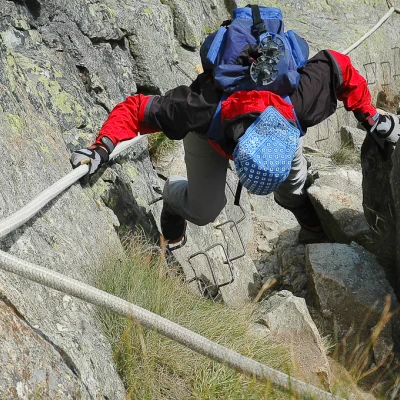
Short but demanding hike. The route is quite steep most of the time: it also forces you to do some real climbing, albeit very easy; on the final 30m of via ferrata to overcome a chimney.
Description
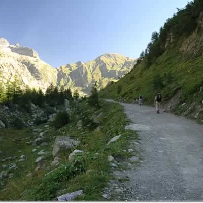
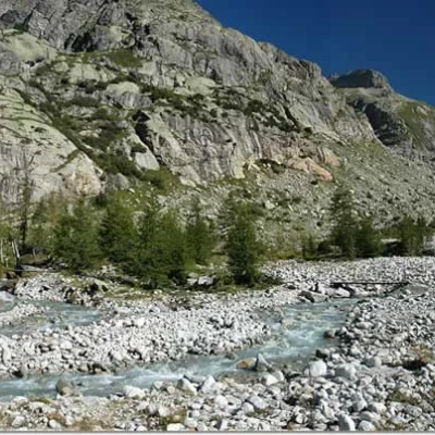
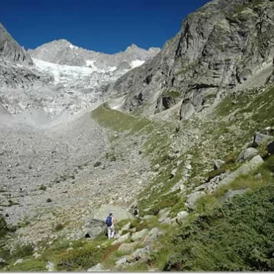
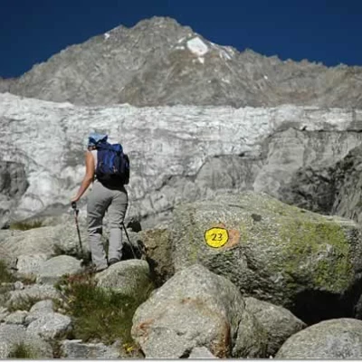
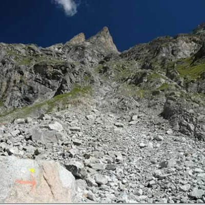
You park in Arnouva (1769m) just before the Val Ferret shuttle terminus (if the Val Ferret road is closed to traffic, you can reach Arnouva by shuttle). Walk along the road, which is still paved for a few hundred metres, then it becomes unpaved and begins to climb in the direction of the Elena refuge (0h40'). After about a quarter of an hour, having passed the junction for the Comino bivouac, signpost (22), you cross the one for the Dalmazzi refuge, signpost (23). You have to cross the Dora di Ferret. There used to be a bridge, now only a small pillar remains, but there are still two footbridges. Immediately afterwards, the real ascent begins: a rugged scree slope where one already sometimes has to use one's hands. All along the route (especially on the descent), care must be taken to follow the yellow-painted markers, which are actually always very clear.
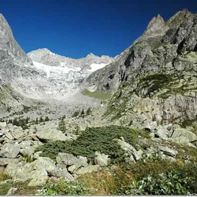
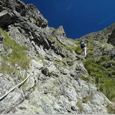
After the first steep ascent, a long ridge with a much more moderate gradient begins: this is a glacial moraine left by the retreating Triolet glacier. It ends at the base of a scree cone (1h 30'), which could turn out to be a snowfield at the beginning of the season. The ascent of the conoid is steep and treacherous (the descent is much more so) due to the base consisting of stones mixed with a lot of earth and gravel, making every step a slippery risk. Soon the first rocky slabs are encountered, which are interspersed with a few steps on the path. Many fixed ropes have been placed, which help a lot on the ascent and are essential for the descent. By now, within sight of the hut, a rocky outcrop must be circumvented along a level but well exposed path. At the back of the outcrop there are 30 metres of ferrata that climb up a chimney: these are iron rod steps planted in the rock and accompanied by a fixed rope. Once out of the chimney, there are no further difficulties and the destination is reached in a few minutes. The refuge, owned by the Cai di Torino, is guarded during the summer months.
The descent is along the same route as the outward journey.
