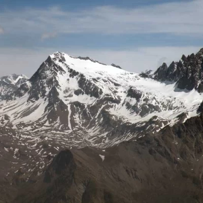
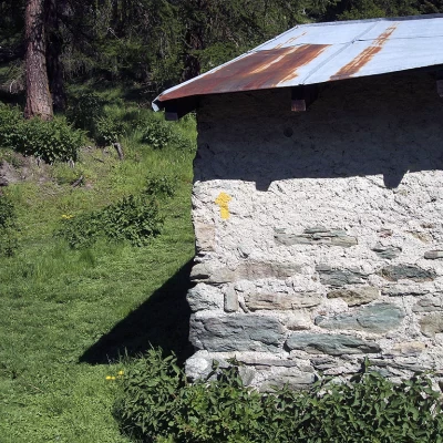
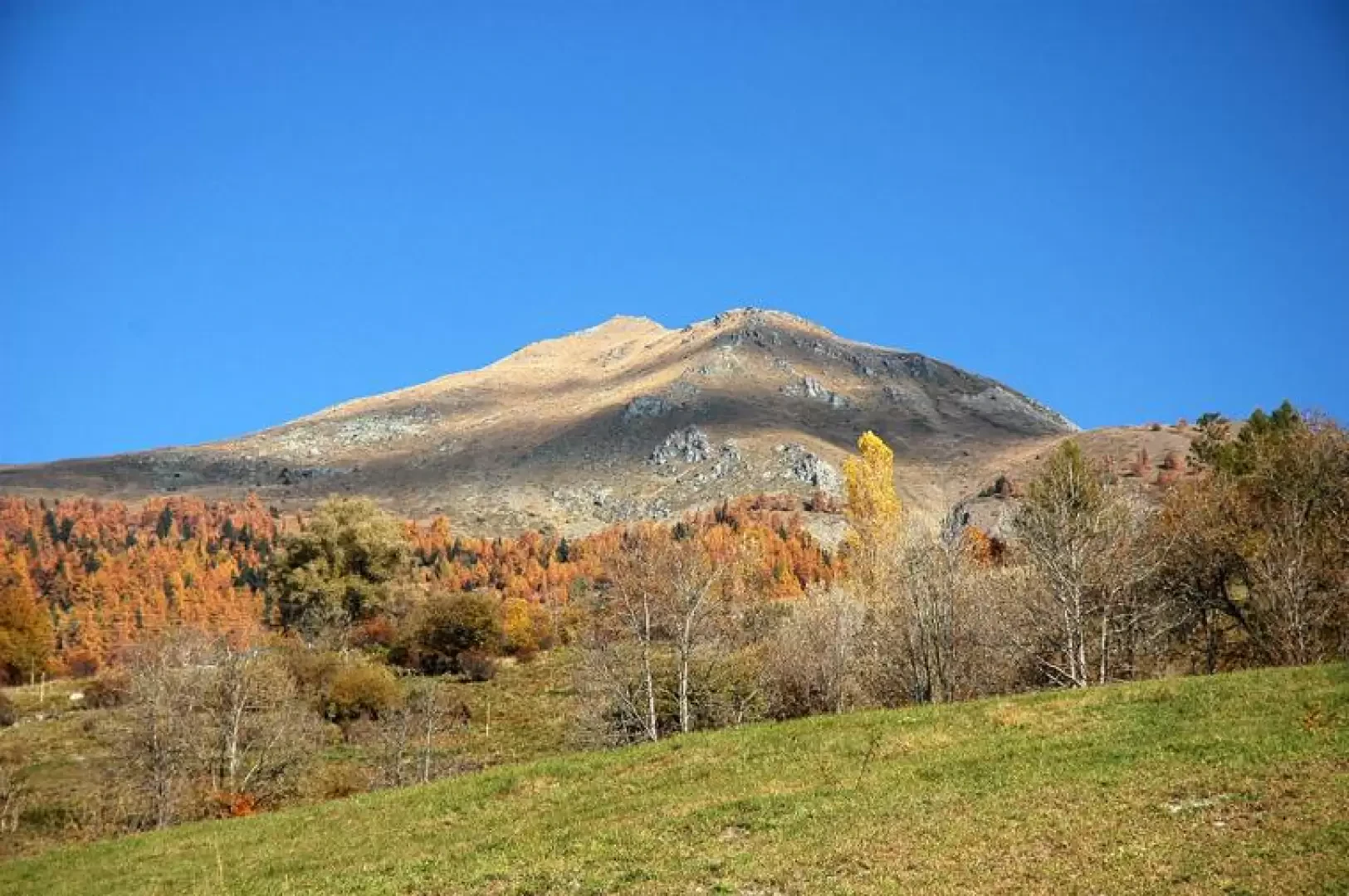
Mont Saron, from Chef-Lieu (Allein)
Access
Leaving the motorway at the Aosta Est exit, continue along the - road to the Great St Bernard Pass. You pass the village of Gignod and shortly afterwards meet the road on the right, which leads to Allein. After descending towards the Artanavaz stream, the road climbs to the main town of Allein, where you can park in the car park in front of the parish church.
[0h22'] - [19.2km]
How to get there with GMaps
How to get there with Apple Maps
The directions given here were verified on the date of the route survey. Before setting off, it is advisable to ensure that no substantial changes have occurred on the route to the starting point. We therefore recommend the use of the satellite navigation apps provided by Google or Apple for up-to-date and detailed directions.
Introduction
A little-known but certainly very important hike: every year on 29 June, the procession of St Peter and St Paul takes place, attracting numerous pilgrims. In addition, this hike boasts, for those who love strenuous exertion, the significant difference in altitude of 1409 m: an uncommon height difference even in the Val d'Aosta.
Every 29 June, on the feast of Saints Peter and Paul, there is a procession that starts from the Chef-Lieu church and crosses all the alpine pastures described above to reach the summit of Mont Saron. Tradition has it that this procession was carried out to avert a danger of a landslide on the mountain itself.
During the feast day, a large lunch is held at the foot of the peak for all those taking part in the procession and, for those who were unable to climb, the participants descend to the church with flowers picked from the pastures (rhododendrons and violets).
Description
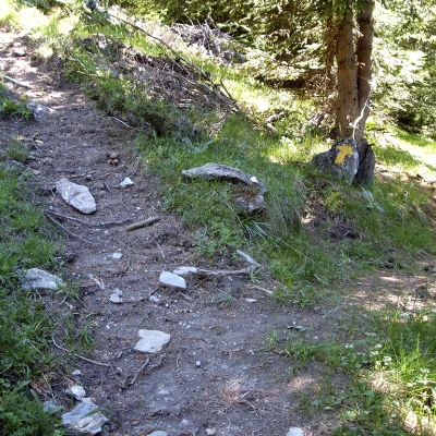
0h00' Leaving the car in Allein, in the hamlet of Chef-Lieu (1272m) 💧, the start of our route can be seen just behind the church. The first part of the walk takes place on a dirt road, which is however abandoned almost immediately in order to follow a path on our right. The ascent through pastures and some woodland scrub takes us to the hamlet of Ville (1426m) 💧.
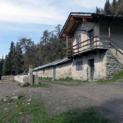
0h40' Having reached the little chapel of the hamlet, we turn left onto a dirt road which with a few ups and downs leads us to the hamlet of Bruson (1470m) 💧: following the indications of paths and , start climbing again, first crossing pastures, then a forest of larch (Larix decidua) and spruce (Abies picea) until you reach the Fontane alpine pasture (1892m) from where you can admire the beauty of the Grivola and the Grand Nomenon.
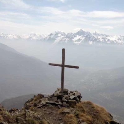
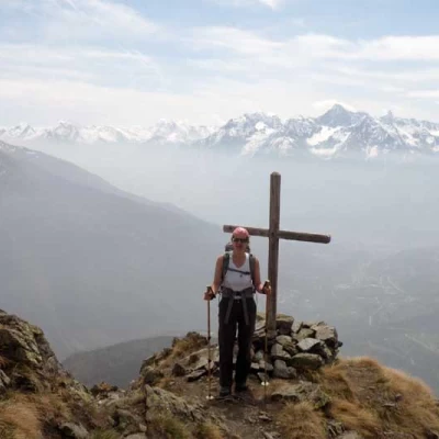
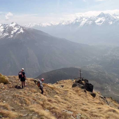
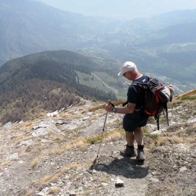
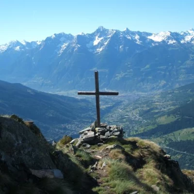
1h50' Continuing the walk, we gradually leave the forest belt for the alpine meadow. Here you climb up the rather steep ridge of Mont Saron. On reaching the ridge, follow the direction of the peak (marked by a wooden cross), the path is now barely visible. When you reach the summit, the scenery is certainly worth the effort: the location of Mont Saron allows a splendid panoramic view of the Great St. Bernard valley and the ridge of mountains surrounding the hospice; of Mont Vélan and the peaks that surround it; and of the By basin.
The descent follows the same route as the ascent.
.Points of Interest
- Chef-Lieu (Allein)
- Bruson
- Fountains
- Mont Saron
