From the motorway junction at Verrès enter the roundabout and take the third exit and take the Strada Statale in the direction of Aosta.After 450m at the roundabout take the first exit and continue on the statale for a further 1.3km. Turn left onto the strada regionale with signs for Valle di Champdepraz - Parco del Mont Avic. Go up the for about 10km before meeting the panel with the signs for the resort's main car park: turn left following the signs for Blanchet and Fusse and, after about 200m, park your car in the convenient free car park 🅿️.
[0h22'] - [11.5km] How to get there with GMaps How to get there with Apple Maps
In the summer period, July/August, there is a shuttle service to Chevrère (Covarey).
These indications are based on direct verification carried out at the time of surveying the route so the information should be checked before setting off on the hike. We recommend using a GPS navigator or a map app on your smartphone to get up-to-date and detailed directions.
Introduction
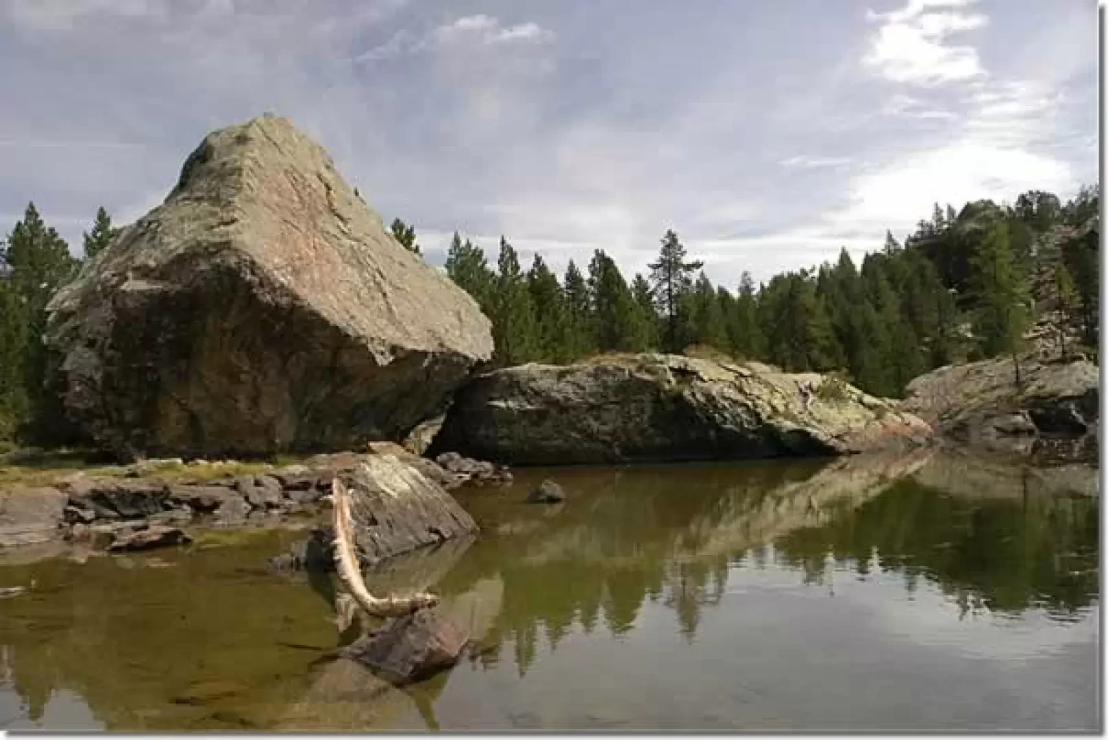
Nestled in a basin lined with conifers and erratic boulders, Lake Servaz is one of the easiest and most rewarding destinations within the Mont Avic Regional Park.
The basin in which the lake lies is dotted with large scattered boulders: these are erratic glacial boulders transported by glacial masses over the centuries and deposited in their current position as the ice receded.
.
Description
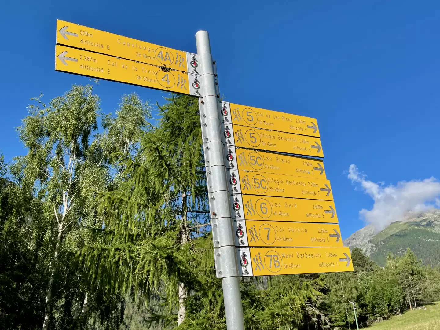
0h00' From the car park proceed backwards for about 100m until you come to a signpost with directions to the main destinations in the area. Follow the signs for the path
, turn left up a narrow road that becomes paved and joins the regional road . Turn left and, past the Mont Avic Park Visitor Centre, pass through the village of Covarey 💧 and reach the highest car park (this car park can be used out of season).
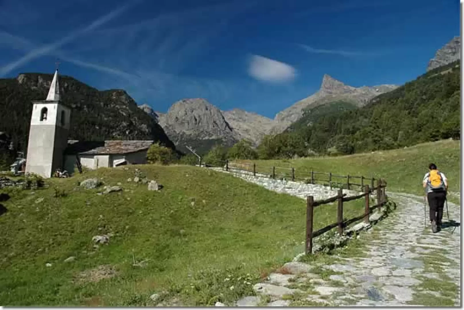
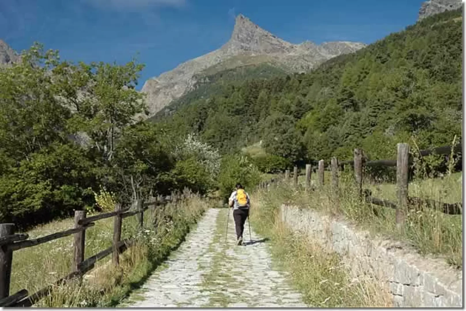
0h15'' Continue along the pretty little paved road that runs alongside the characteristic little church in the village of Veulla; after a few hundred metres, the little road becomes a dirt track and continues westwards, slightly sloping, pointing towards the sharp outline of the Mont Avic. After crossing a small wooden bridge, we ascend a short stretch of road until we reach Crest (1365m): from here the path leads to Praz Orsie (1794m) and to Mont Barbeston (2483m).
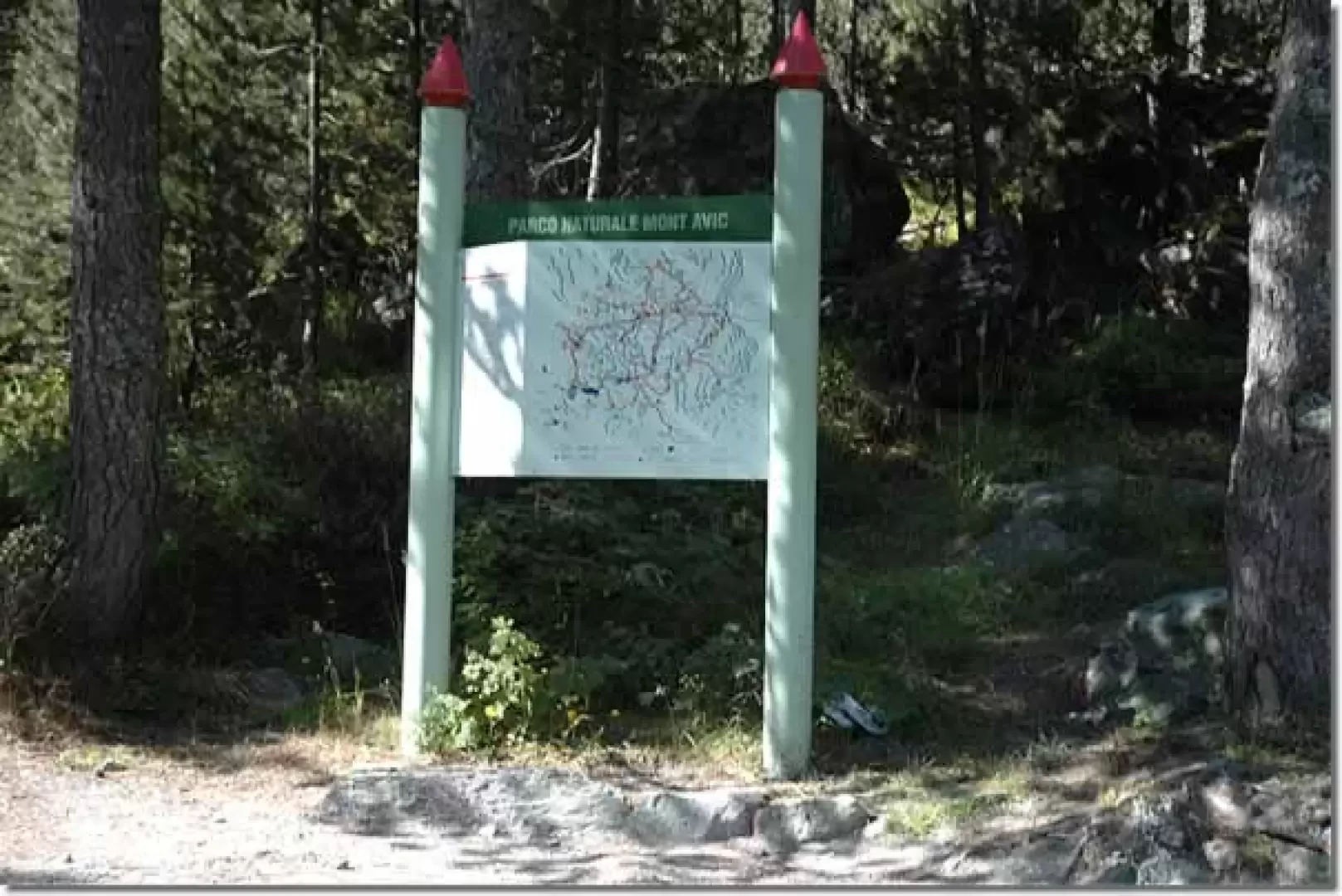
0h25' We neglect this diversions and proceed straight along the road lined with information panels set up on site by the Park Authority to better understand the peculiarities of the protected area's ecosystem. Slowly one enters the forest consisting of hazelnut (Corylus avellana), white alder (Alnus incana) and above all conifers, including the peculiar hooked pine (Pinus uncinata): the absolute dominance of this species is certainly unusual in the Alps. Pass over a new wooden bridge, after which the road becomes slightly steeper until you reach the locality known as Magazzino (1461m): in this short clearing there is an information board with the Park's trail map.
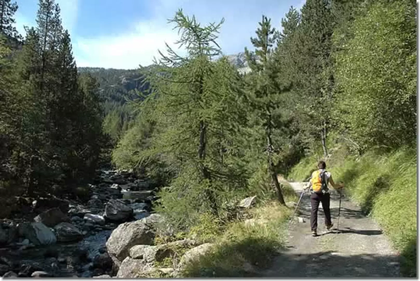
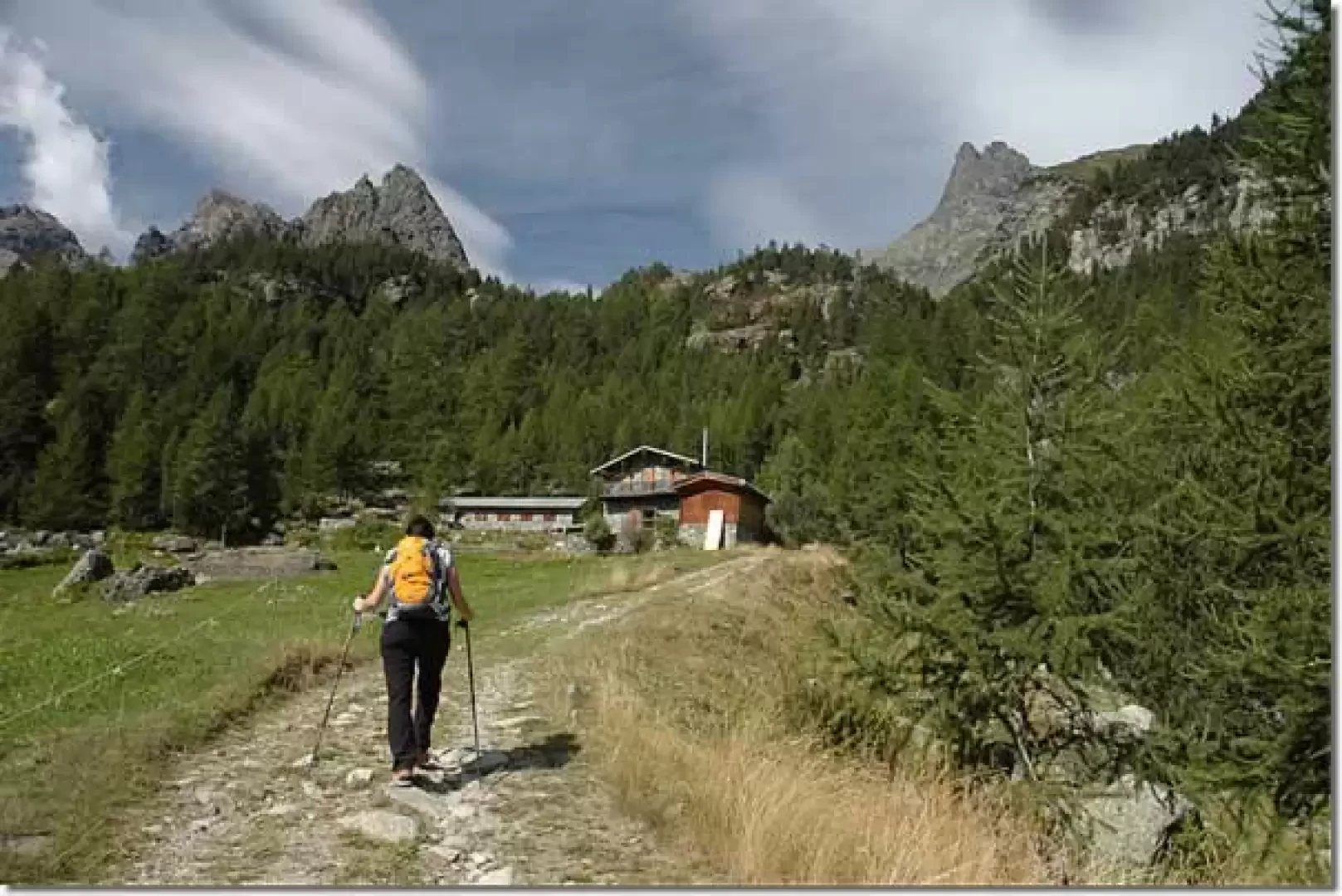
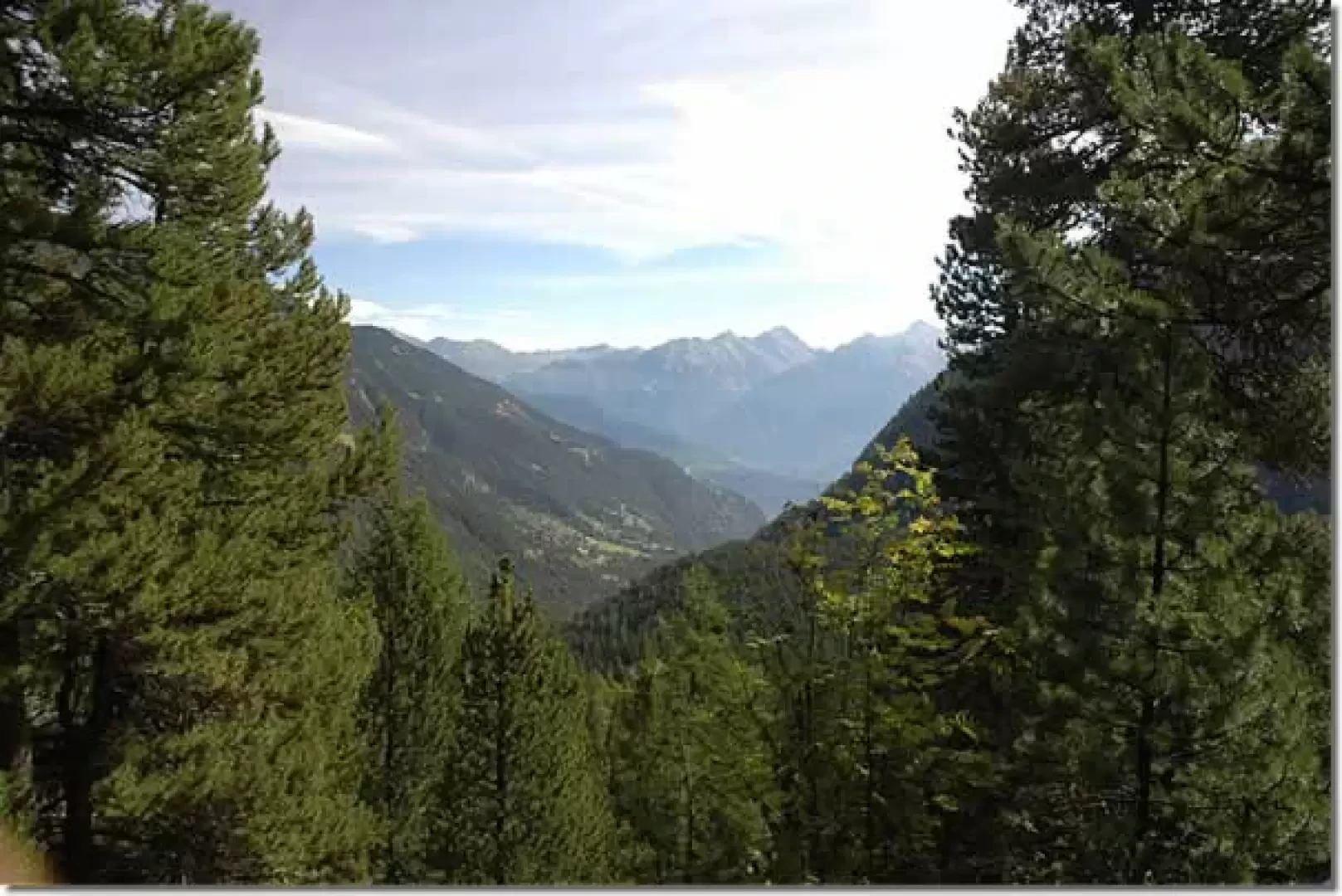
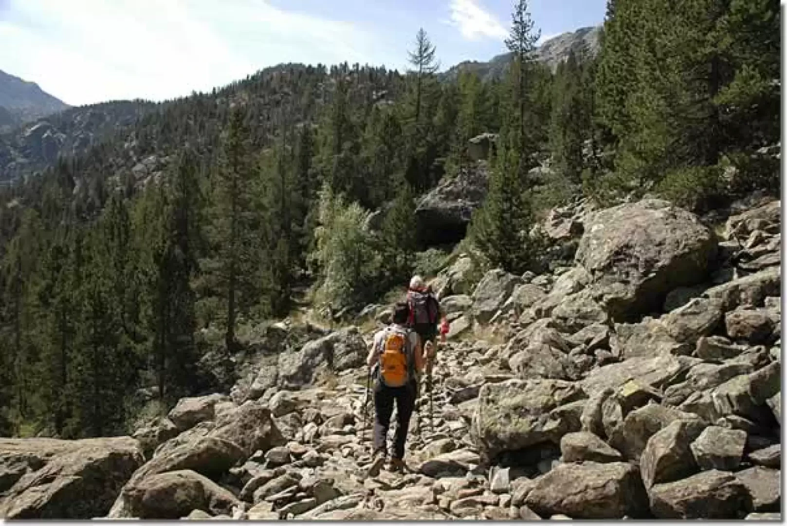
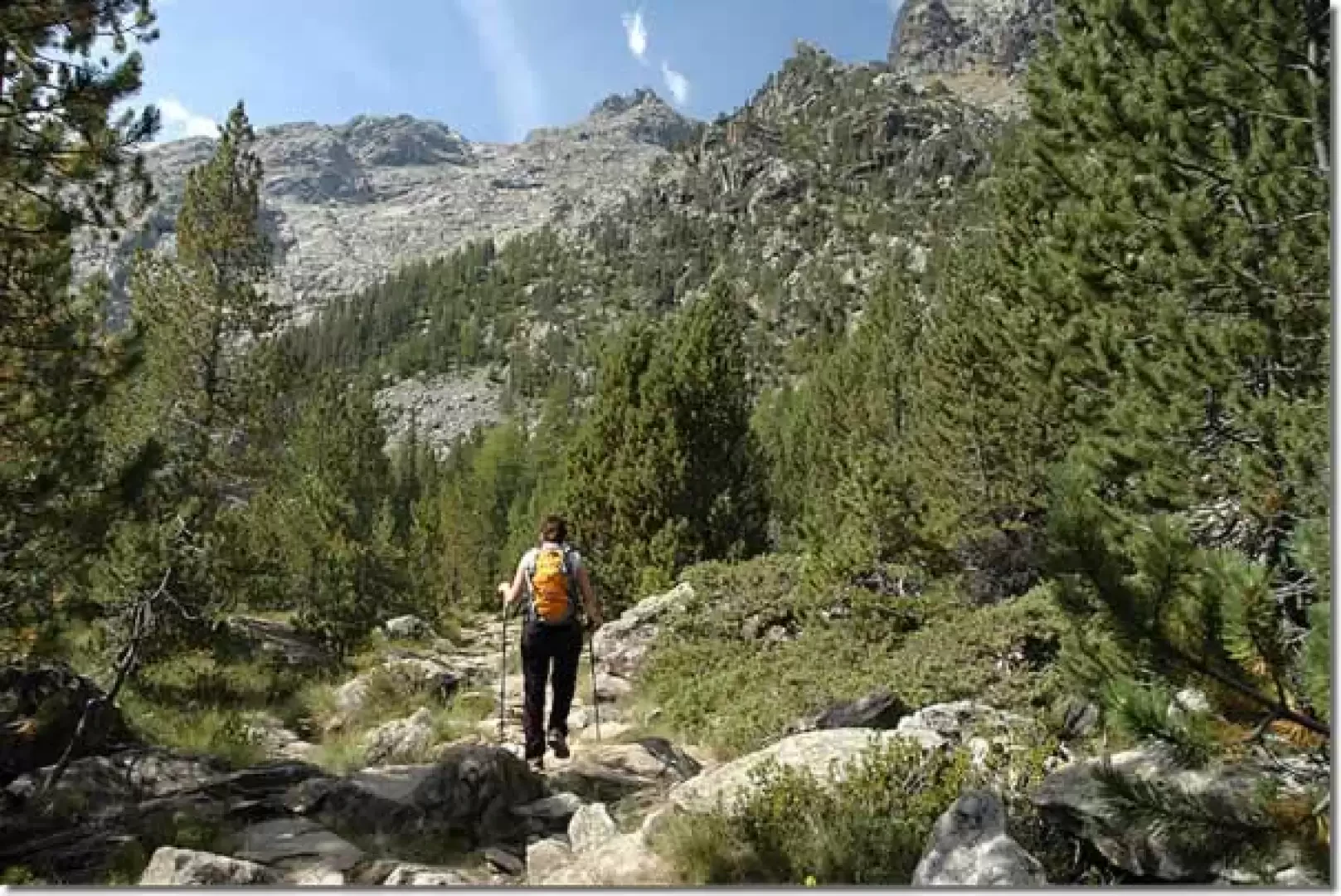
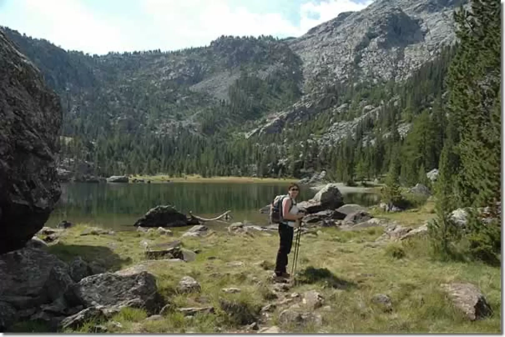
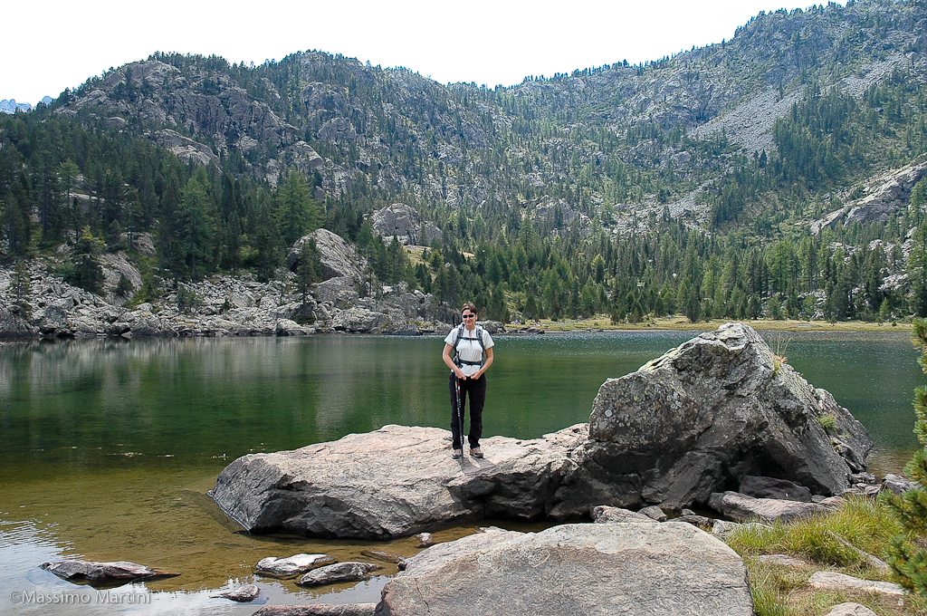
0h30' Turn left, following the signs for Servaz (1540m) and Coucy (2061m) with the trail. After a short flat section, you begin a short descent that, after crossing a small tributary of the Chalamy stream on a small wooden bridge, reaches the edge of the stream and then begins to climb again. After crossing another small wooden bridge that crosses another tributary with very clear waters, the trail proceeds passing below a rocky outcrop to then find itself below a pastureland; the road makes a couple of turns until it reaches Servaz dèsot (1540m) 💧. 0h50' It passes below the rural buildings of the alpine pastureland until it meets a new marker indicating to turn right and follow the signs to the lake. You immediately start to climb up the beautiful paved mule track: the gradient has changed considerably. One passes a small footbridge and enters decisively into the coniferous forest. The twists and turns follow one another until you reach the junction with the path to the Servaz blast furnace: turn right and continue uphill. Along the ascent, you will first come across an open space where an old charcoal pile once stood, then the path passes under some mounded rocks before coming to a small balcony with a splendid view of the lower Val d'Ayas. The route proceeds over fairly varied terrain with a fairly steep ascent in places; at an altitude of around 1700 m the path flattens out slightly, crosses a small scree slope and then starts to climb again for the last stretch. The destination is now near, the path begins to level out and after a few minutes you reach the Lac de Servaz (1806 m, 1h45'). The return journey follows the same route as the outward journey.


Comments (0)
Sign in to leave a comment