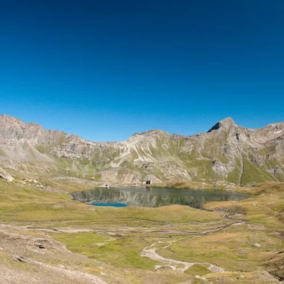
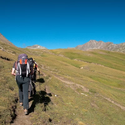
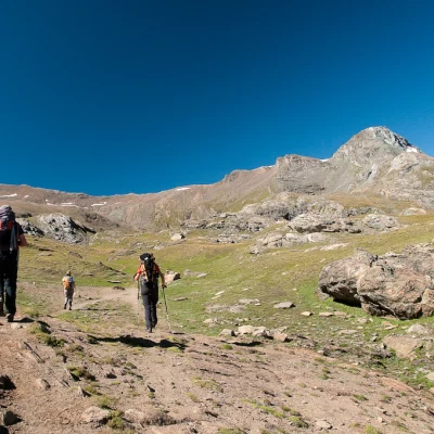
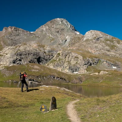
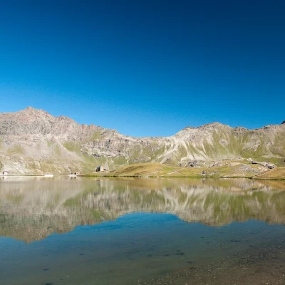
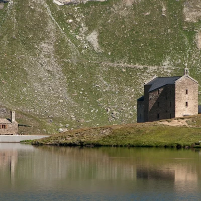
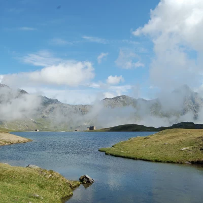
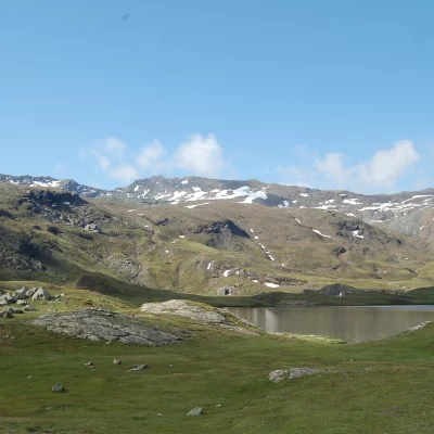
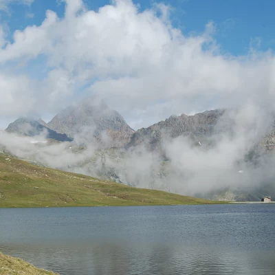
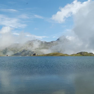
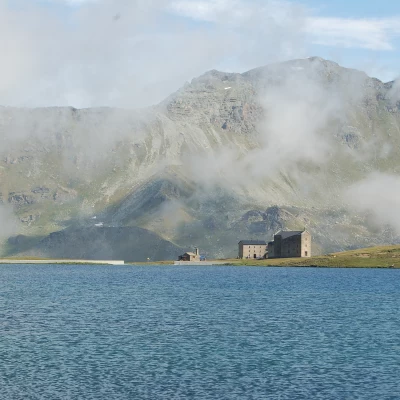
Lake Miserin, from the Dondena car park on path 7B
Access
Leaving the motorway at the Pont-Saint-Martin toll booth, after 100m turn left to follow the state road in the direction of Aosta. After 500 metres, at the roundabout, take the second exit and continue on the state road for 3 kilometres to the next roundabout. Take the second exit and follow the regional road in the Champorcher Valley. Continue on the regional road for 14.7 kilometres up the valley and through the villages of Hône and Pontboset before reaching Château, the centre of Champorcher. Turn right, following the signs for Dondena and climb up the little communal road for about 7.9 kilometres until you reach the Dondena car park 🅿️ where you can leave your car.
[0h52'] - [30.6km]
How to get there with GMaps
How to get there with Apple Maps
The information provided here has been verified as of the date the route was surveyed. Before setting off, it is advisable to ensure that no substantial changes have occurred on the route to the starting point. We therefore recommend the use of the satellite navigation apps provided by Google or Apple for up-to-date and detailed directions.
Introduction
Lake Miserin has always been one of the most popular excursion destinations in the Aosta Valley. A beautiful lake framed in a cirque of peaks, often over 3000m high, on the shores of which stands the Sanctuary of Notre-Dame de la Neige, built in the 17th century and renovated in 1881, the destination of a Marian pilgrimage every year on 5 August. The proposed itinerary is a good alternative to the classic ascent to the lake along the dirt track, trail .
.Description
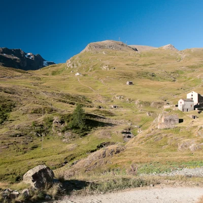
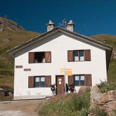
0h00' Leave the car in the clearing next to a large wooden panel bearing the map of the municipality of Champorcher, and proceed downhill briefly towards the Ayasse stream until you reach the ford near a hamlet clinging to the rock. Cross the stream and begin the ascent up the dirt road, passing first by the ruins of the former Albergo Alpino, then by some characteristic alpine pastures and finally reaching the Dondena hut (2110m).
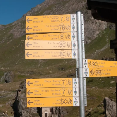
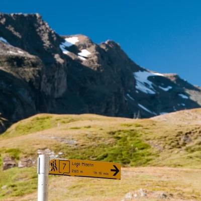
0h15' At the hut, take the track for Laris, which branches off to the right. Follow the dirt track until you come to a signpost indicating the path
to Lake Miserin. Turn right, leaving the dirt track, to take a grassy track that finally becomes a path at a second marker.
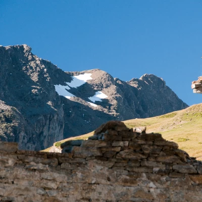
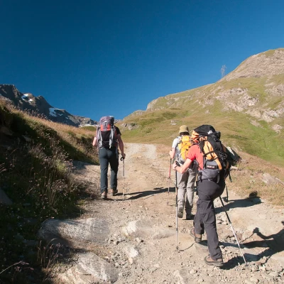
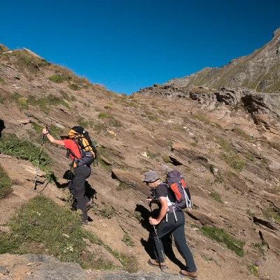
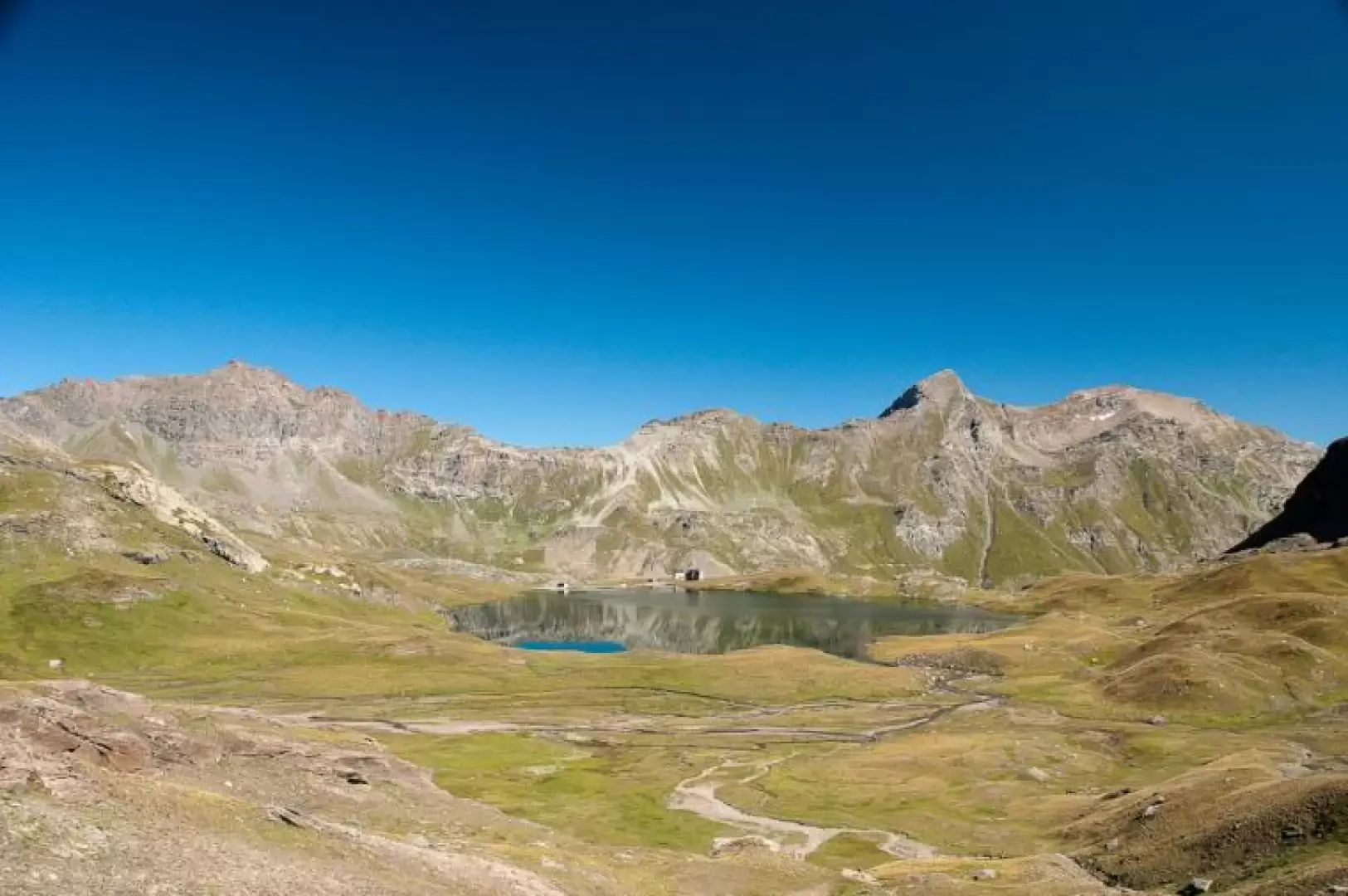
Rescend the pasture with a few twists and turns and then proceed with a hillside climb that leads the hiker to the edge of the east crest of Mont Rascias. A few short twists and turns lead the hiker over a short ridge, beyond which he turns sharply to the left in a westerly direction, remaining on a pleasant grassy balcony at the foot of the northern slope of Rascias. With a moderate ascent, one proceeds until encountering the cumbersome pylons that characterise the area; on the right, however, one can fully appreciate the normal ascent route to Mont Glacier (3186m) and the overlooking peak of Mont Delà (3139m). Beyond the pylons, the pasture becomes thinner and the path veers slightly to the left, following the curvature of the Rascias slope. You enter an area with slight rises that are a prelude to the view of the lake, in whose waters is reflected the squat dome of Bec Cotasse (3092m). When you reach the lake, turn right and walk along the short path that runs alongside the lake until you reach the Notre-Dame de la Neige shrine and the Miserin hut (2579m) 1h15'.
The return walk follows the same route as the outward journey 0h45' or you can descend along the farm road, path
, thus completing a circular route.
Punti di interesse
Torrent Ayasse
- ex Albergo Alpino
- Dondena
- Rifugio Dondena
- Lago Miserin
- Rifugio Miserin
- Santuario del Miserin
- Parco del Mont Avic
- Champorcher
Collections
- escursioni con partenza da Dondena - sulla mappa
- escursioni a Champorcher - sulla mappa
- escursioni nella Valle di Champorcher - sulla mappa
- escursioni ai laghi della Valle di Champorcher - sulla mappa
- escursioni ai laghi della Valle d'Aosta - sulla mappa
Galleria fotografica
We have been there
Lago Miserin
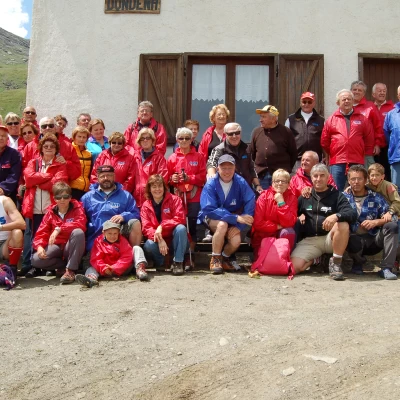
Salito al lago Miserin in occasione dell'escursione estiva organizzata dall'Avis Regionale della Valle d'Aosta. Solo una quindicina di partecipanti sono saliti al Santuario, mentre tutti gli altri unable to parseono rimasti al Rifugio Dondena dove era previsto il pranzo conviviale. Il tempo è stato clemente facendoci compagnia sia con il sole che con le nuvole minacciose, ma l'importante era trascorrere una giornata in compagnia e in allegria.
