Lacs de la Tormottaz, from Lac Verney


Edited by:
Giancarlo Beretta
Updated at: 03/09/2024
Introduction
Short trip to the French-Italian border in the Little St Bernard area. The landscape changes from the green pastures at the start of the itinerary to the cold moraine environments at its end. At the beginning of the season, in its highest part, you can still find many snowfields, but the numerous stone cairns will not make you lose the trail.
Description
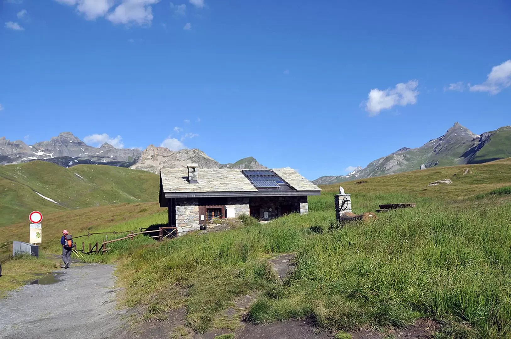
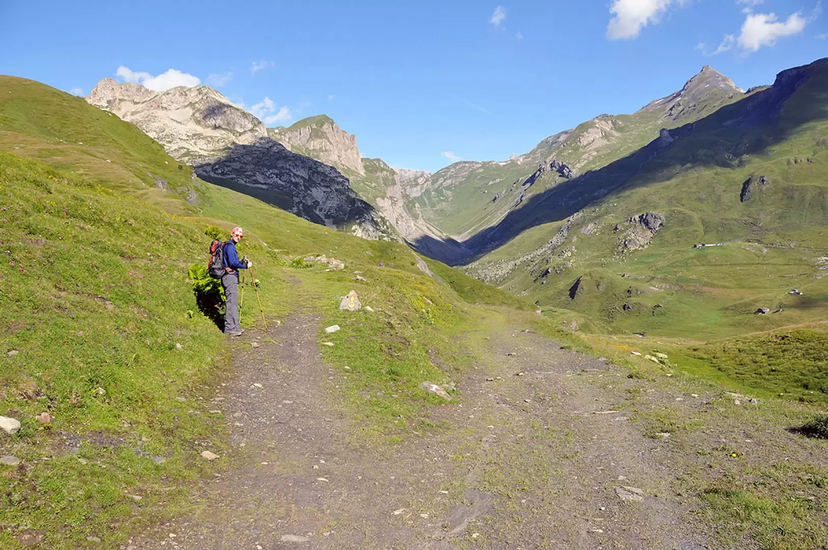
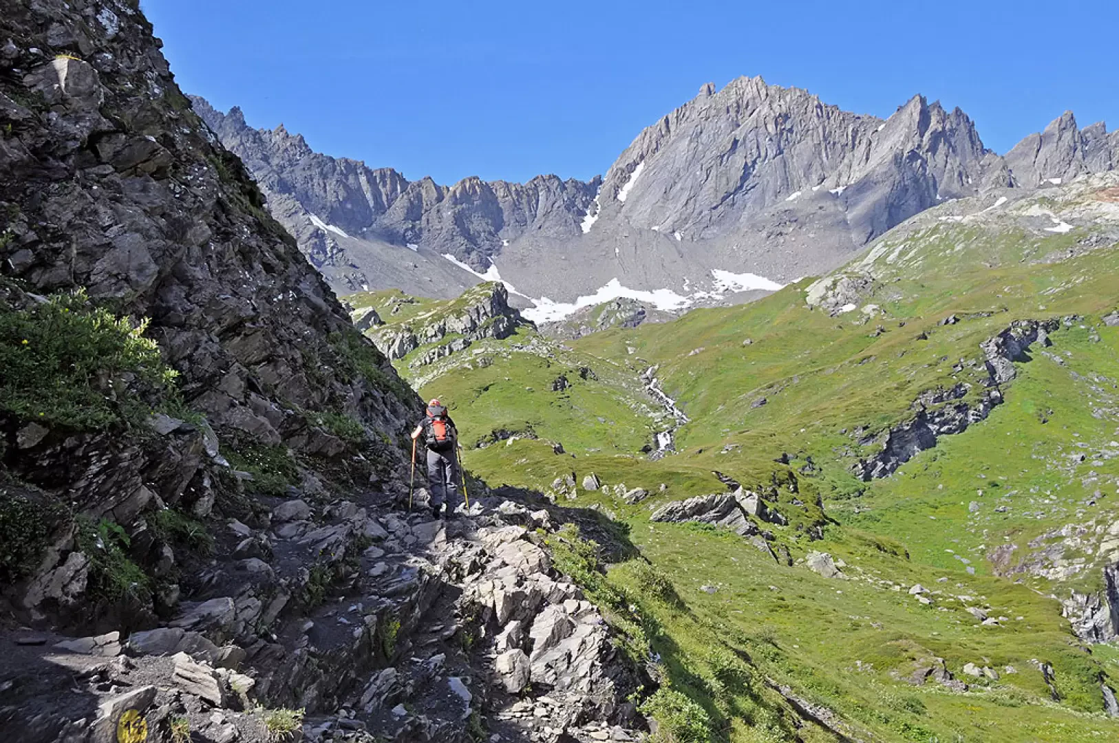
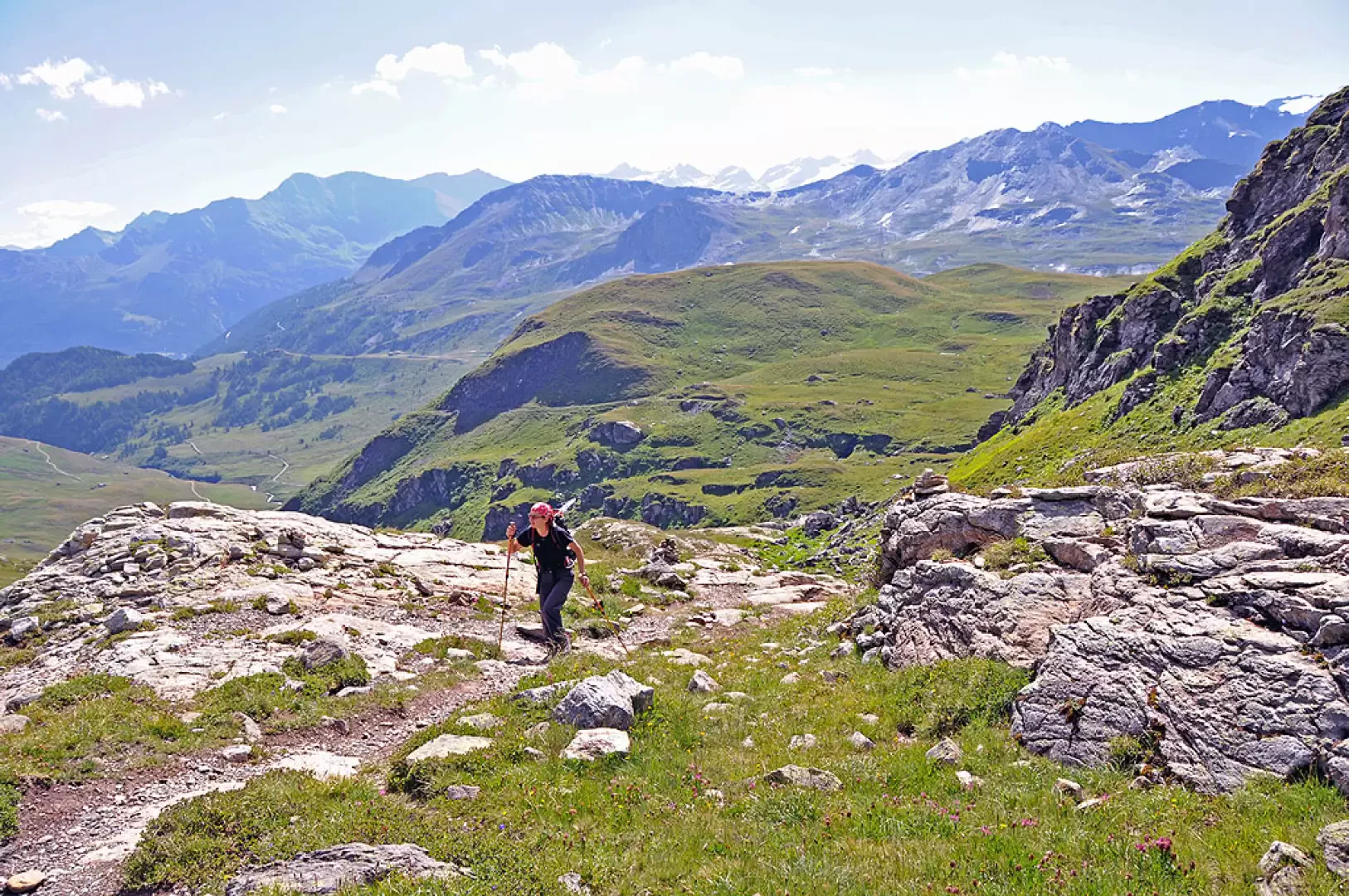
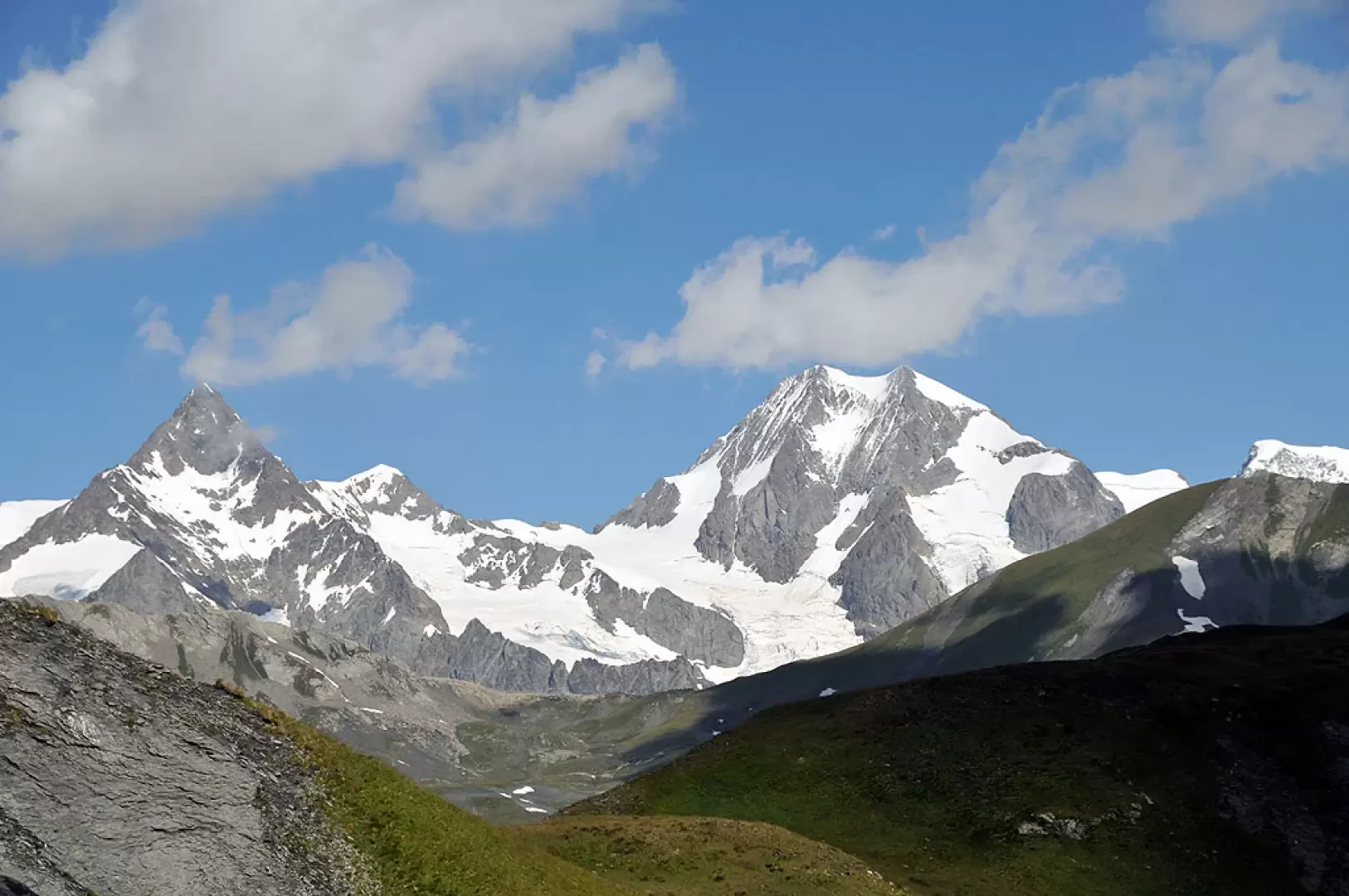
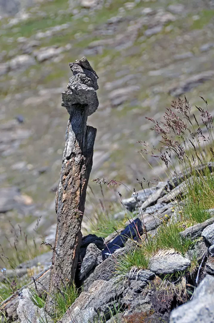
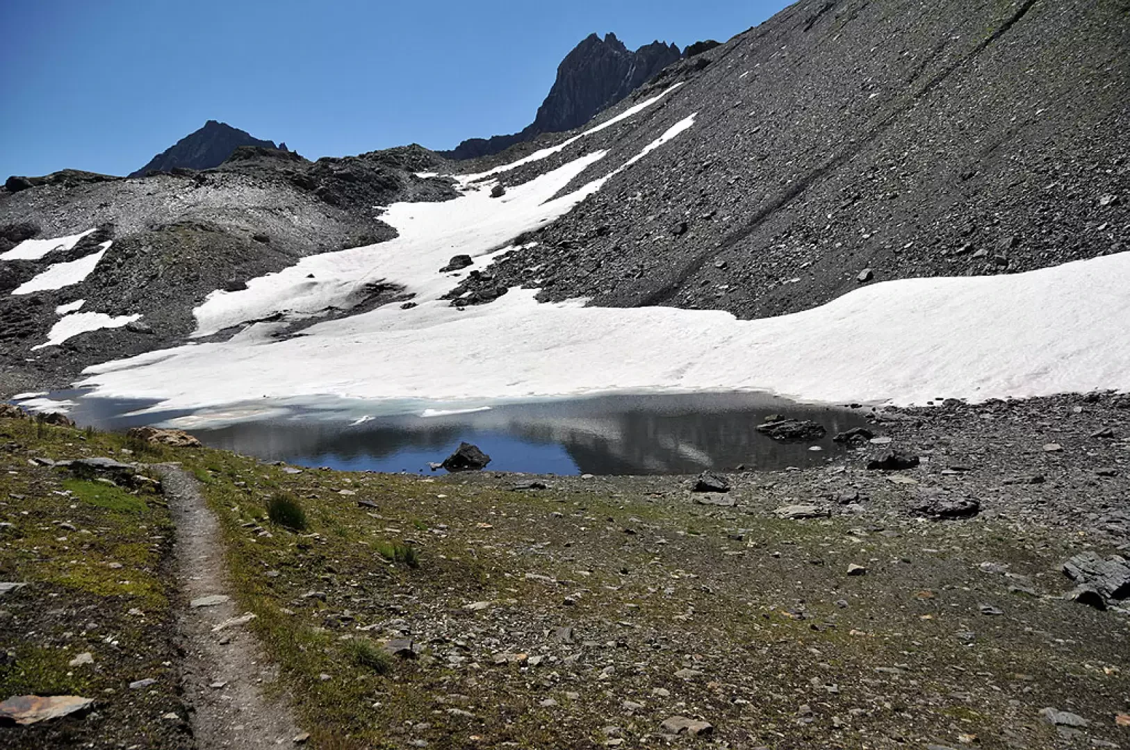
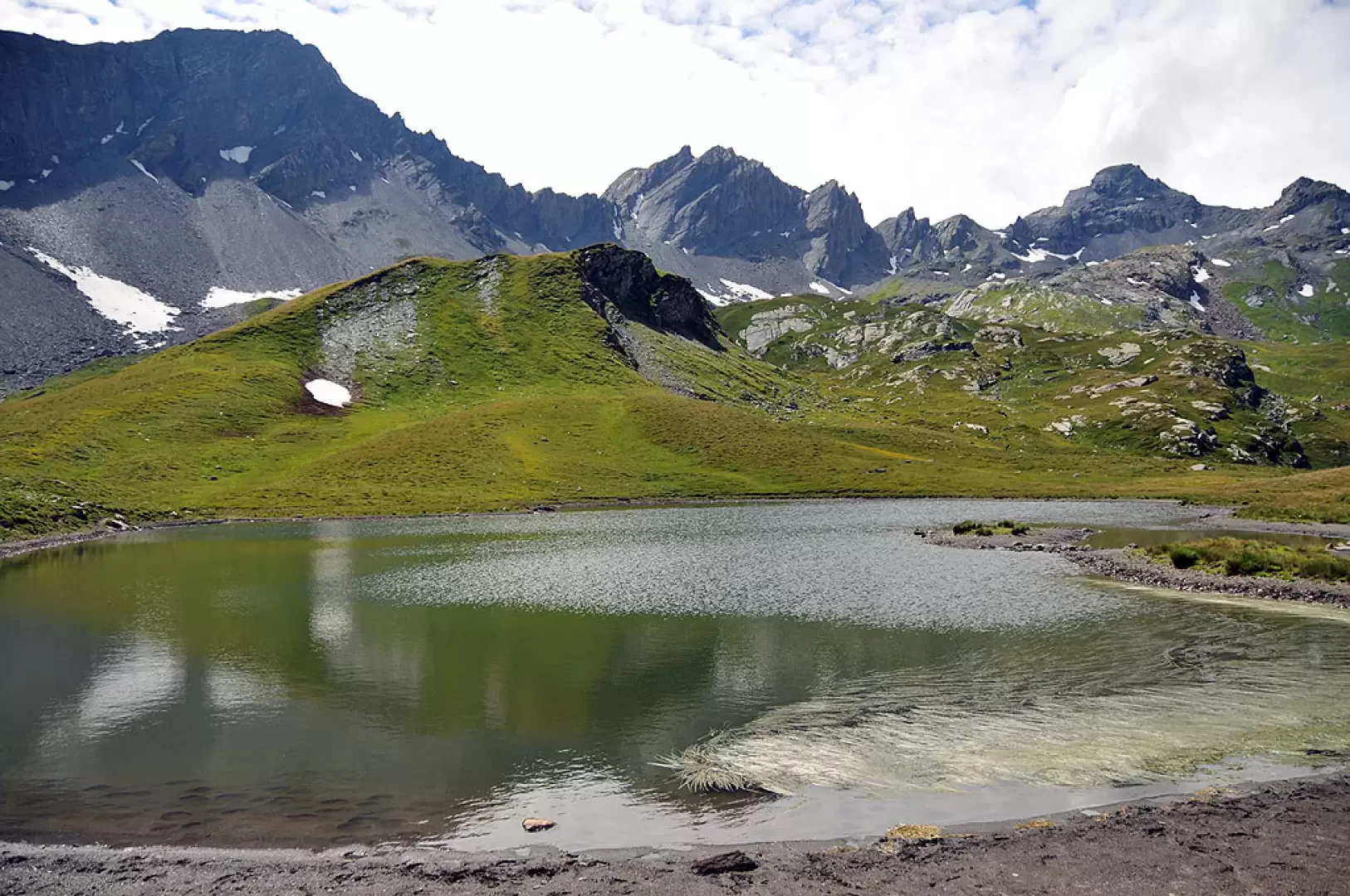
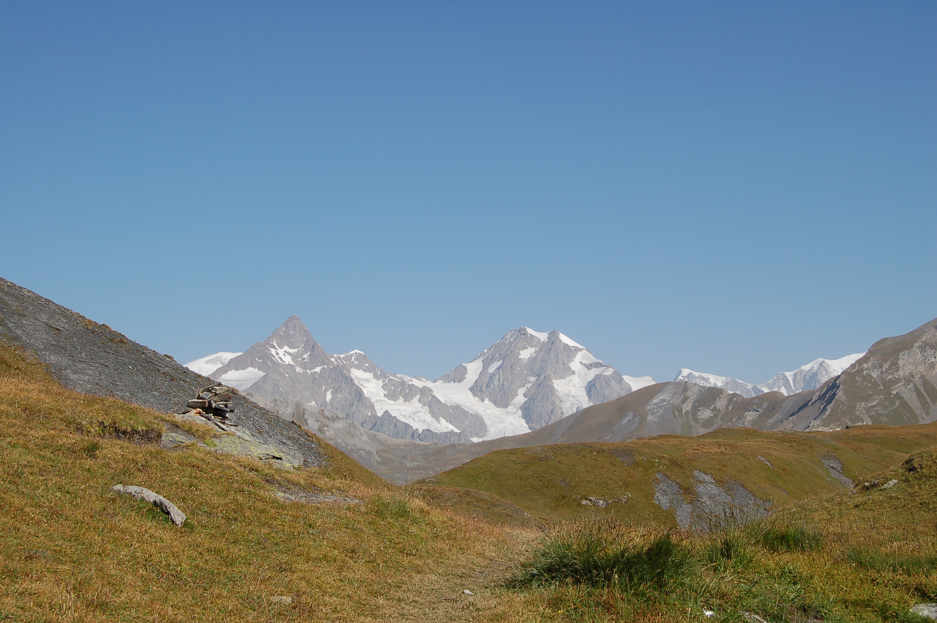
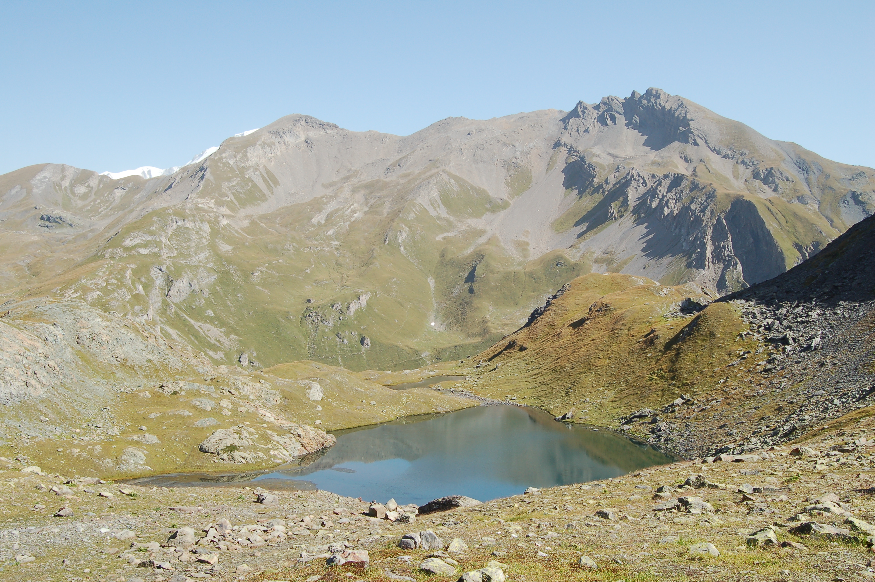
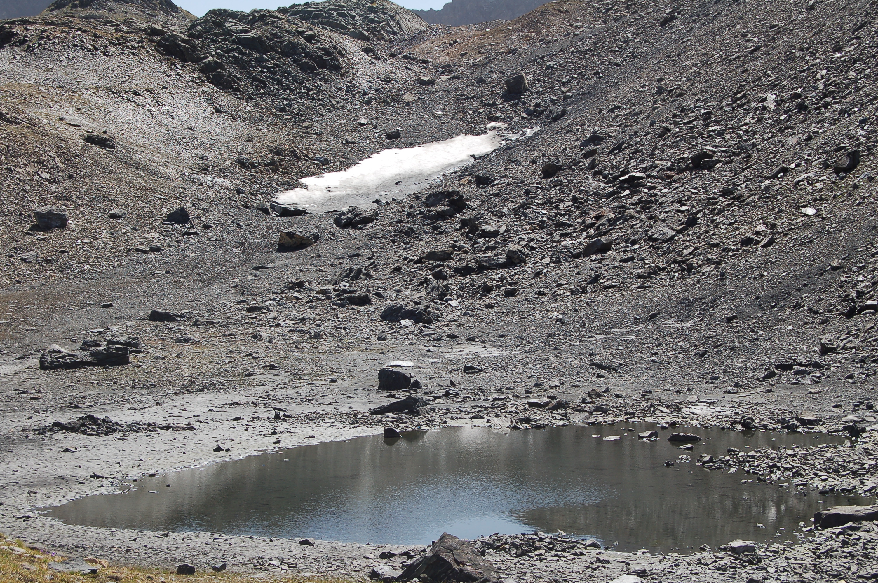
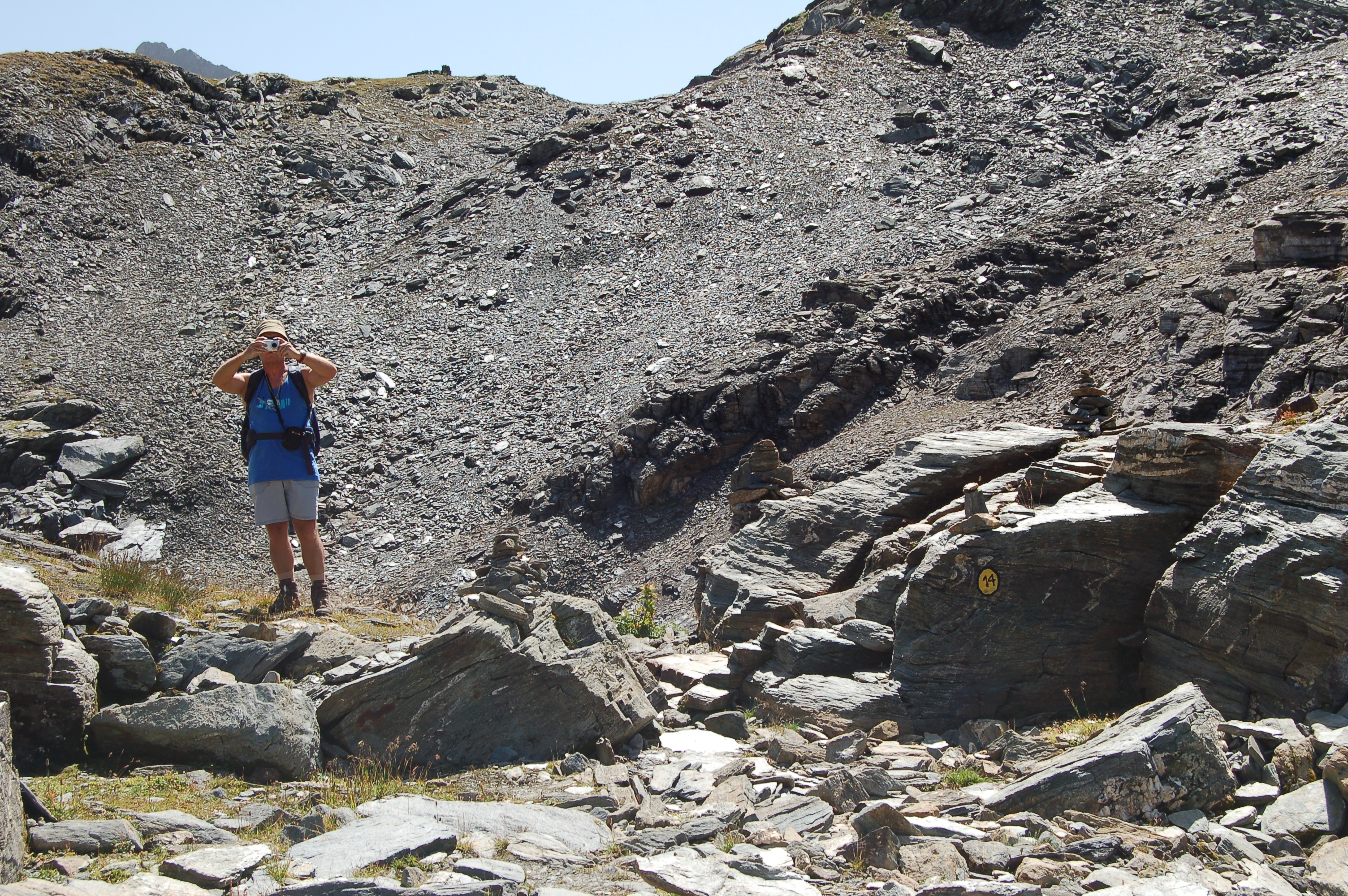
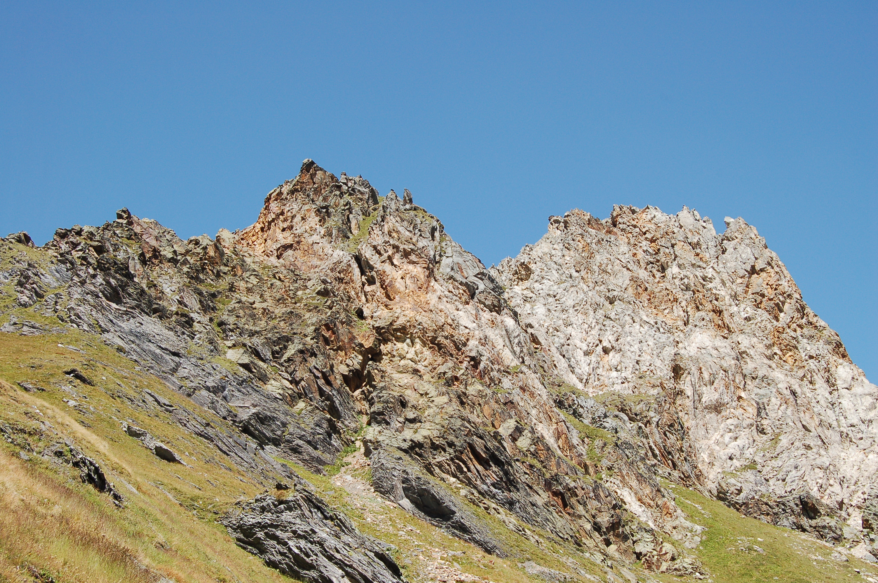
From the car park, take the wide mule track that passes to the right of the large Lac de Verney and to the left of the fish-keeper's house and continues, descending a little, towards the entrance to the Breuil valley. One passes just above an old cable car base and after a few dozen metres one finds the fork in the path, which, well signposted by a yellow marker on a stone, turns left to skirt the initial promontory of the Breuil valley. The path climbs up with a few hairpin bends to continue halfway up the slope and, after circumventing the promontory, crosses some pastureland to then describe a wide semicircle on the right and cross a little stream. Climb up the side of the ridge, heading to the right, moving further and further away from the stream and, after passing by a whitish rock, climb up a few hairpin bends towards a col from where the upper part of Mont Blanc suddenly appears and, further to the left, the Aiguille de Trélatête and the Aiguille des Glaciers. Now the path, always well marked by yellow markers and a few curious little stone cairns, passes through a few small glacial valleys where we pass a few small gullies (snow-covered at the beginning of the season) with a short passage on friable rock where we must pay a little attention. After a short while, we pass by the small Lac de la Pointe Rousse (2543m) and then come to a flat scree zone, where to the left we find the scree at the base of what remains of the Hermite glacier; we continue on level ground following a few stone cairns (beware of the difficulty of orientation in this area in foggy weather) and arrive above the Lacs de la Tormottaz, which we reach after a short descent without a fixed route. For the return route, descend to the pastures that you encountered after circling the promontory at the start of the itinerary. From here, climb southwards without any obligatory path, perhaps looking at it during the descent, over the green pastures and after about ten minutes you reach the shores of Lac de Verney dessus (2380m). Walk around it on the right and follow the trail down to the shores of Lac de Verney and from there to the car park.
.Bibliography
- Luca Zavatta, [[Le Valli del Monte Bianco]], L'Escursionista Editore, Rimini, 2000
Cartography
- La Thuile, Piccolo San Bernardo, Carta dei sentieri foglio 2, 1:25000, L'Escursionista Editore, 2008
Photo gallery
Photo gallery
We have been there

Edited by:
Ivo Giansetto
Lacs de la Tormottaz
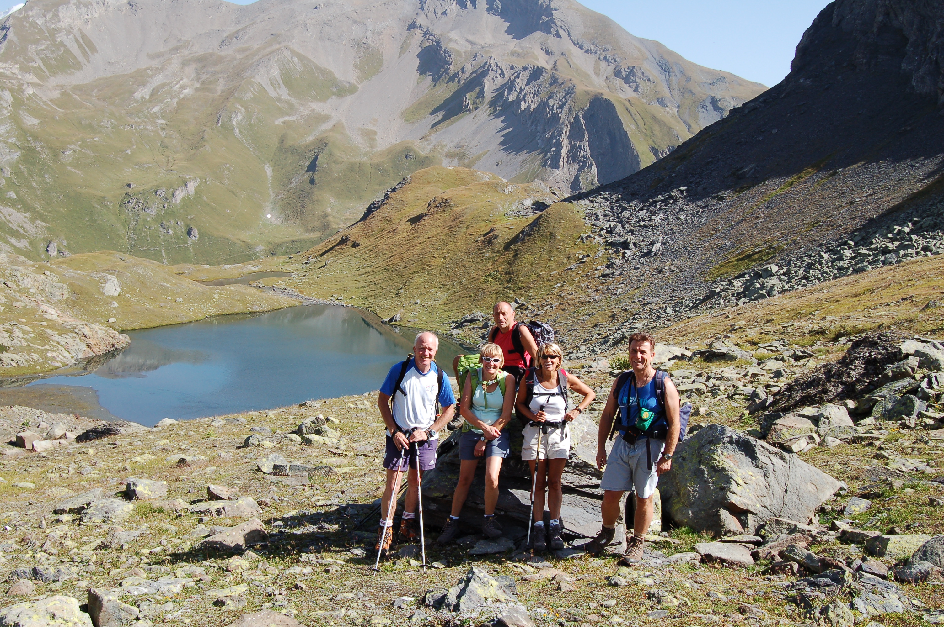
Salito in compagnia di amici passando una bella giornata in allegria. Alla partenza è segnato anche come sentiero 14 il lago Verney superiore a 1h10', ma procedendo sul sentiero manca, dopo aver contornato il promontorio iniziale, la segnaletica per salire al lago Verney superiore. Si intuisce una piccola traccia di sentiero che svolta a sinistra ma se non si conosce l'esatta ubicazione del lago non ci si arriva. Come ben segnalato nella relazione, dopo il colle scendendo verso i laghi prestare molta attenzione al passaggio su roccia friabile.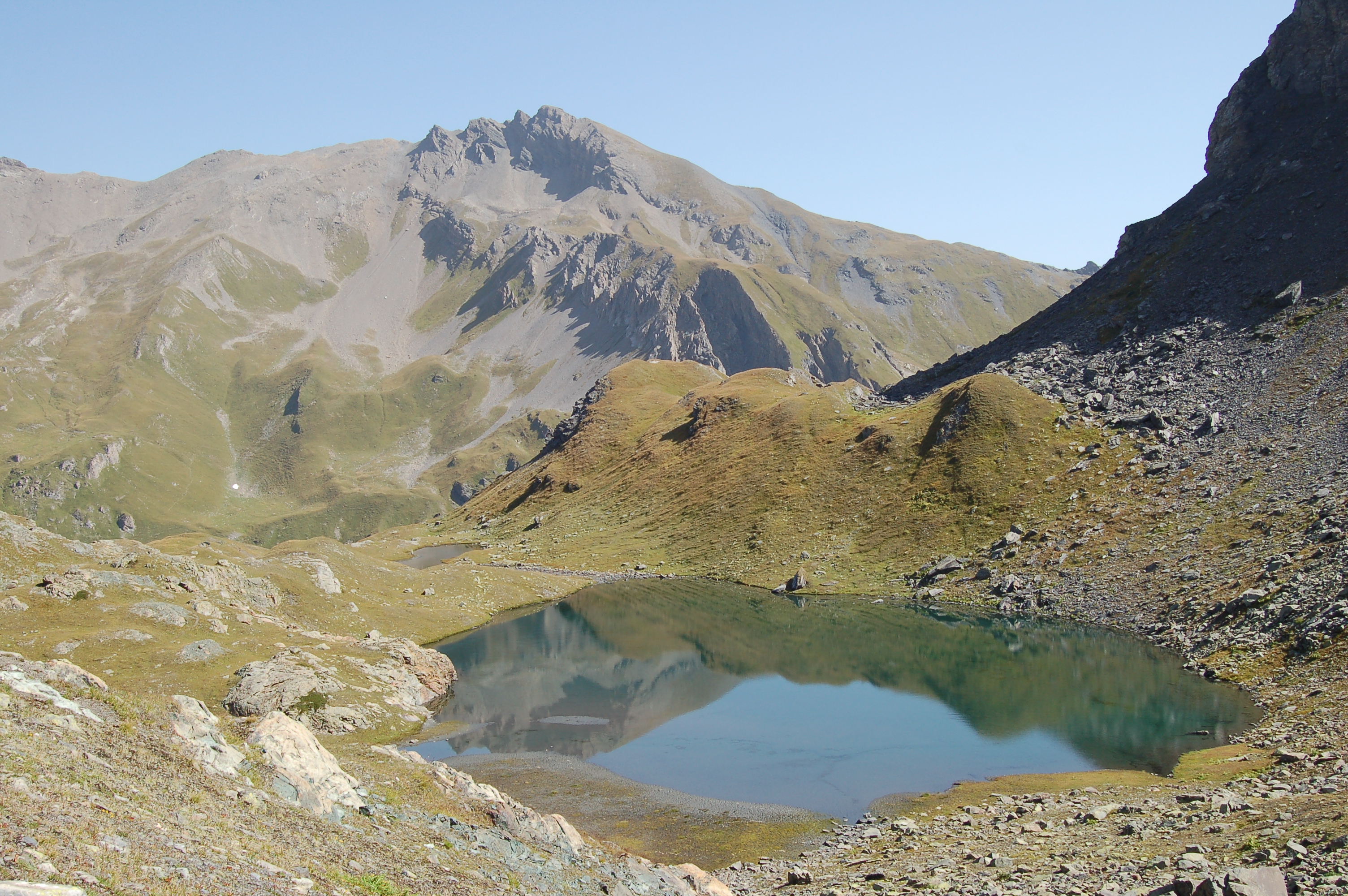

Edited by:
Massimo Martini
Laghi Tormottaz
Avvistamenti faunistici: Marmota marmota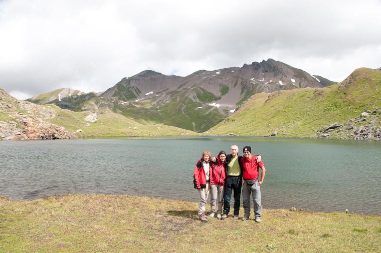
Comments (0)
Sign in to leave a comment