From Cortina d'Ampezzo the SS n. 51 of Alemagna leads to Lago di Landro (Dϋrrensee) and Landro (Höhlenstein), or via the SS n. 48 to Passo Tre Croci to Misurina then via the SS n. 48/bis to Carbonin (Schlunderbach) then right on the SS n. 51 to Landro (Höhlenstein). From Auronzo di Cadore the SS no. 48 leads to Misurina then the SS no. 48/bis to Carbonin (Schlunderbach), turn right onto the SS no. 51 to Landro (Höhlenstein) From Dobbiaco (Toblach) along the SS no. 51 di Alemagna towards Cortina d'Ampezzo to Landro (Höhlenstein).
.
Introduction
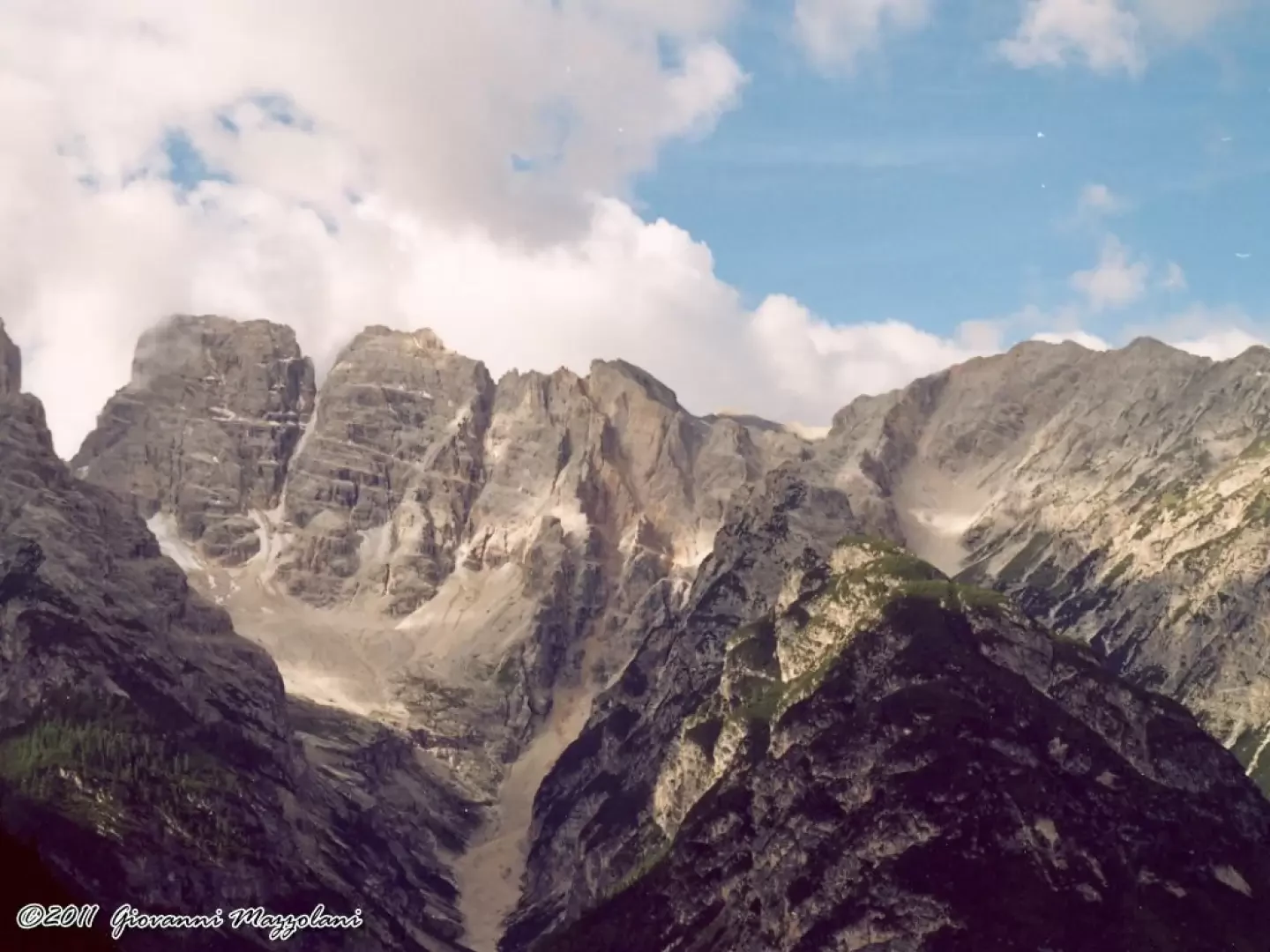
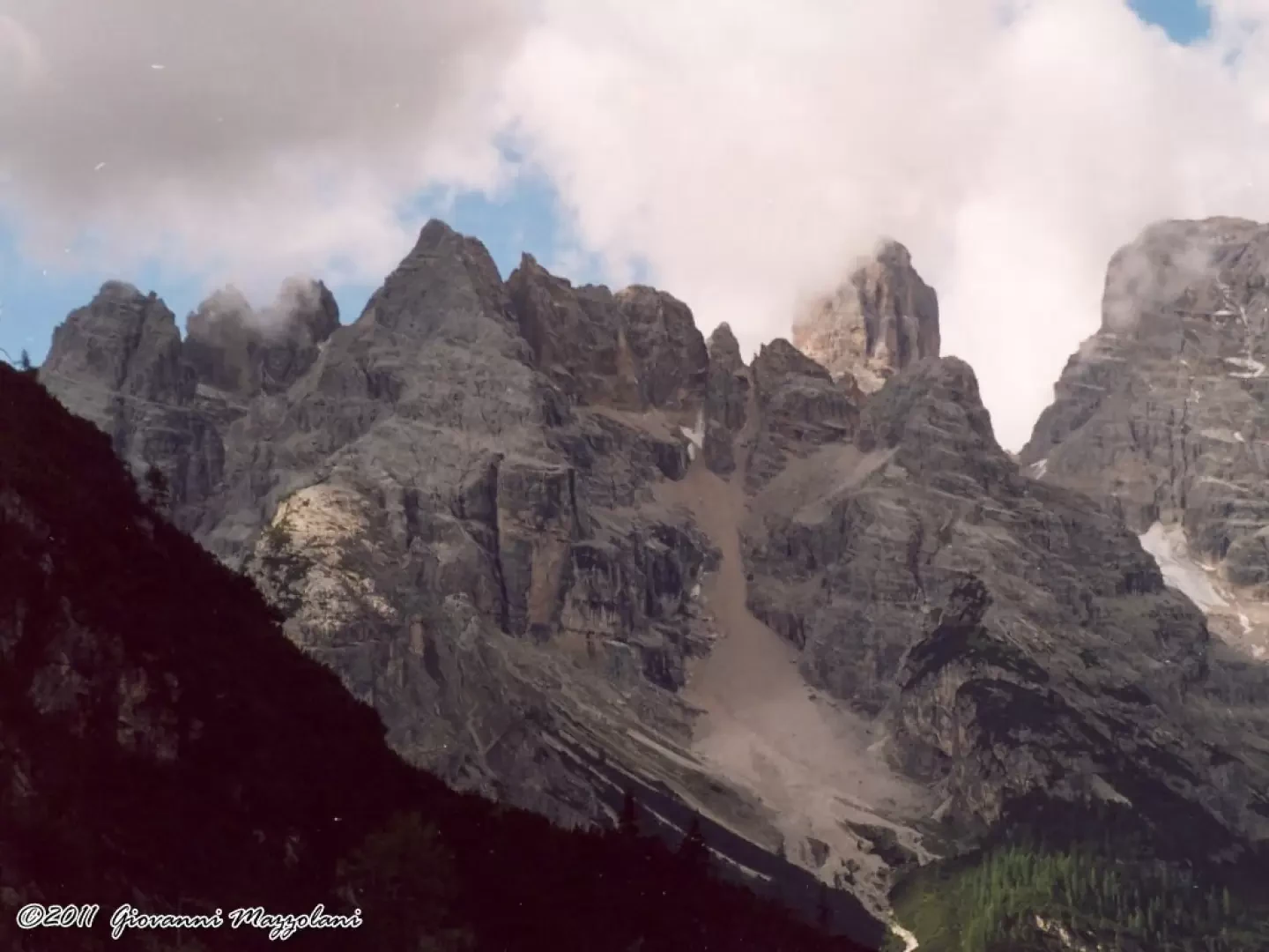
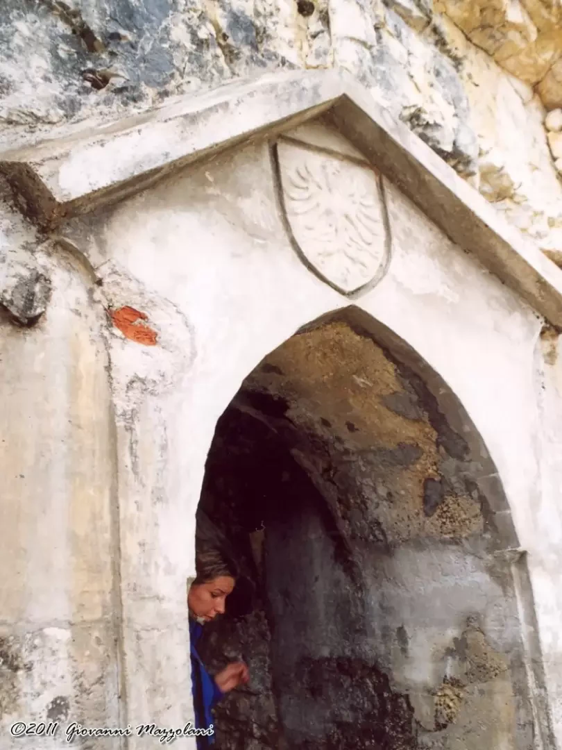
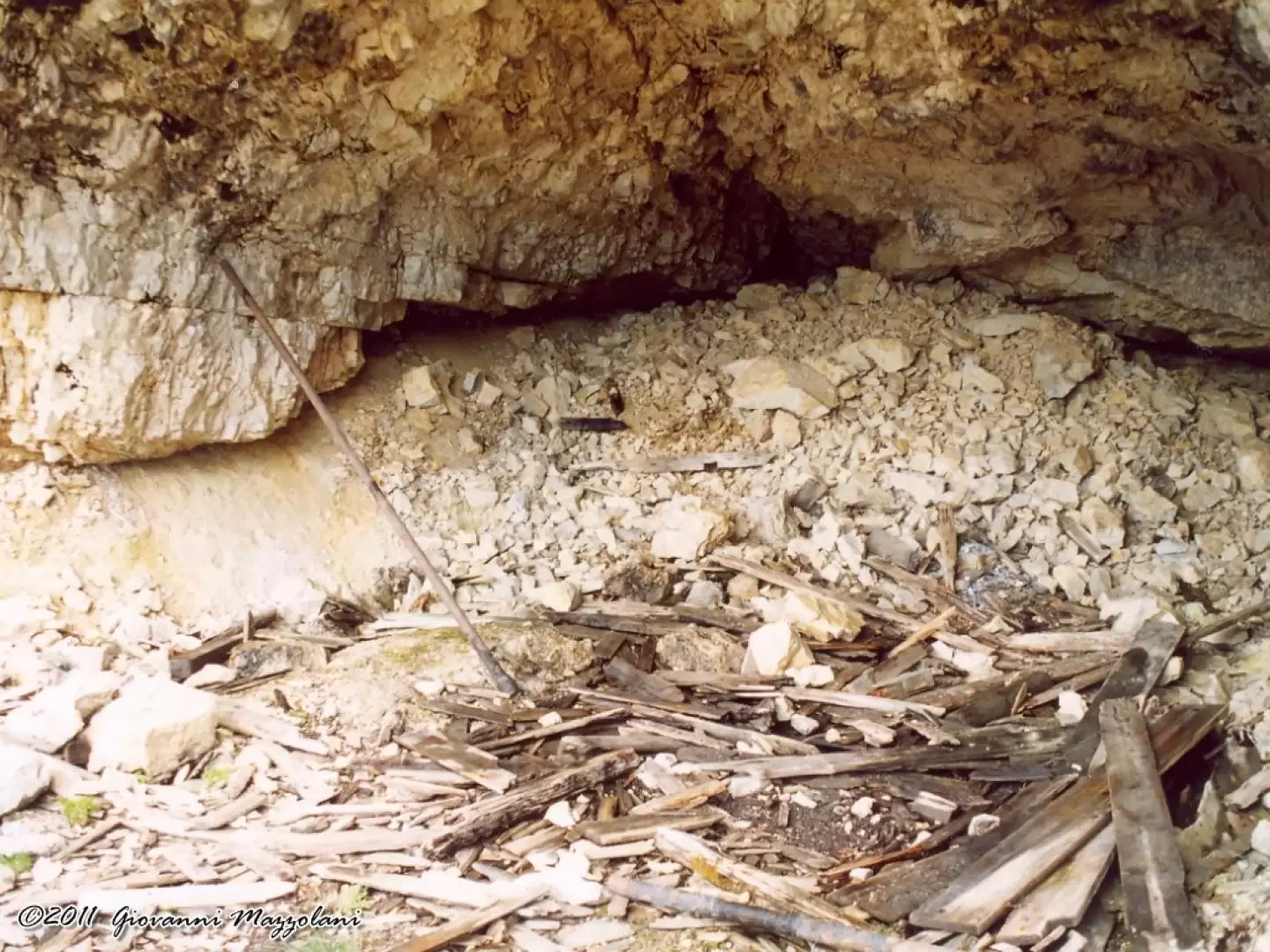
The 'Pioneer Path' (Pionierweg), was prepared as a mule track, even before the Great War, by Austrian troops. The trail climbed up the northern rocks of Monte Piano until it almost reached the summit. Huts and shelters, as well as a mighty cable car ascending from Landro (Höhlenstein), completed what was to become the main access route to Monte Piano. The next step was to equip the entire complex with electric lighting. The energy would also be used to run the compressors and drills used to excavate caves and rock shelters. A high-voltage power line was then constructed from Olang (Valdaora) via Toblach (Dobbiaco) using the respective power stations. It continued to Landro (Höhlenstein) and to Monte Piano. Just below the summit dome, at the mouth of the path, the large (Power Plant Cavern) was excavated and equipped.
.
Description
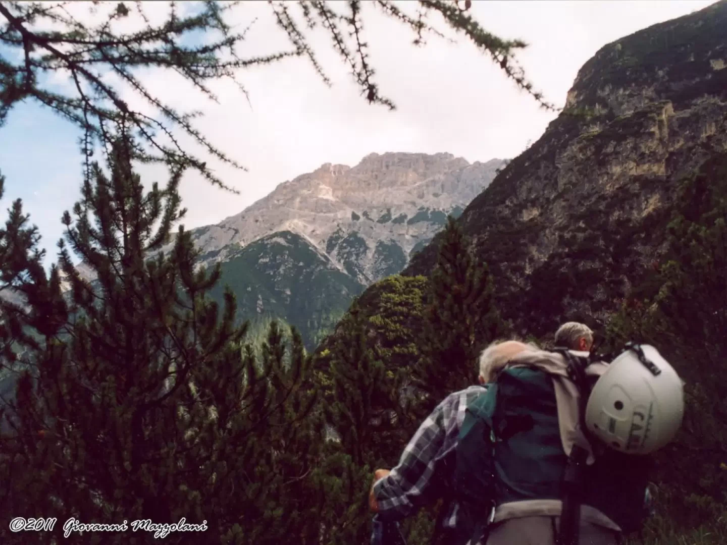
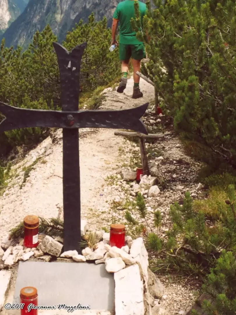
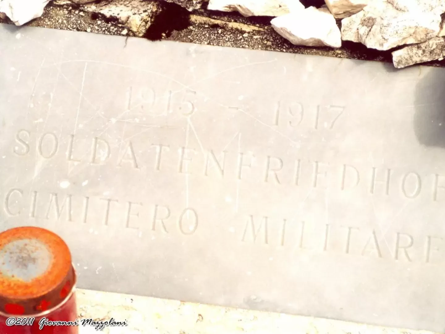
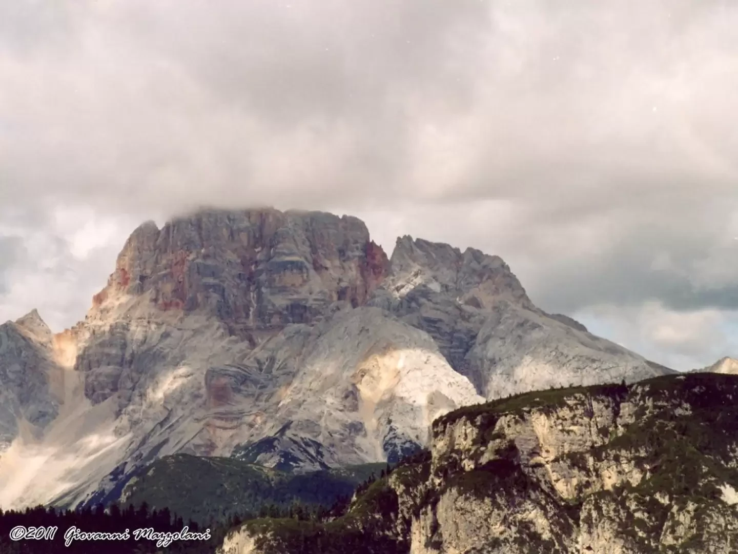
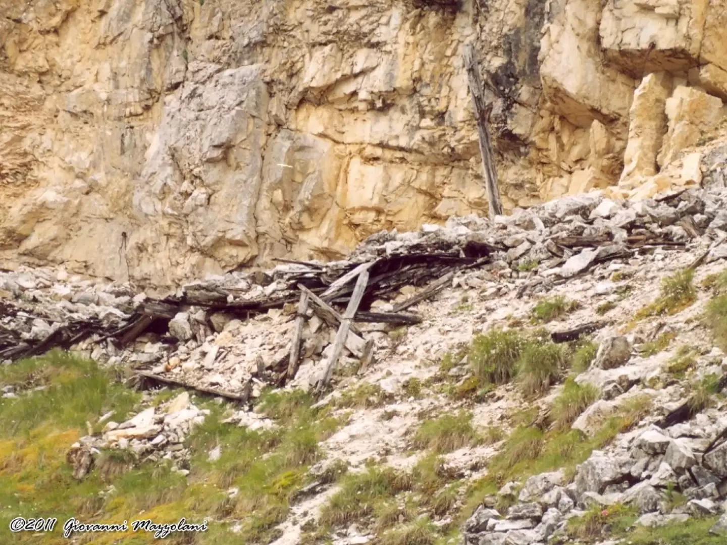
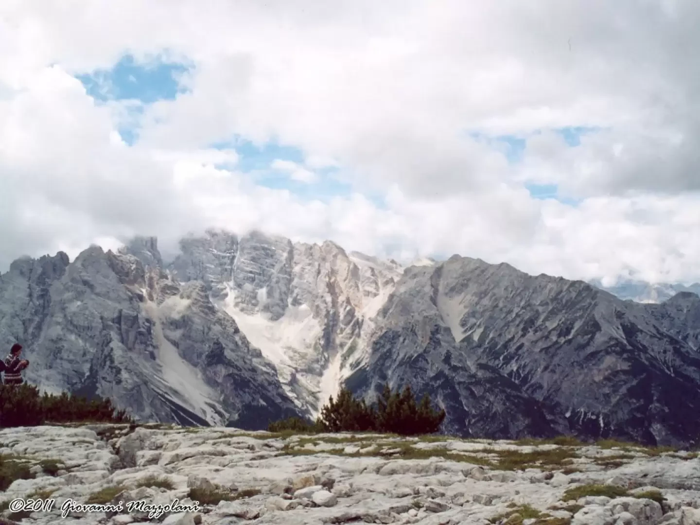
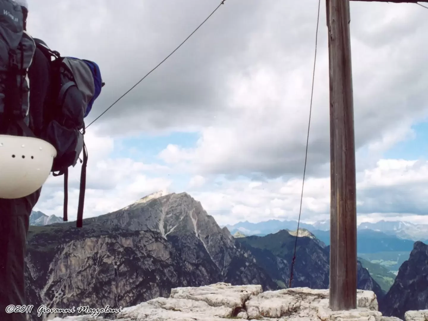
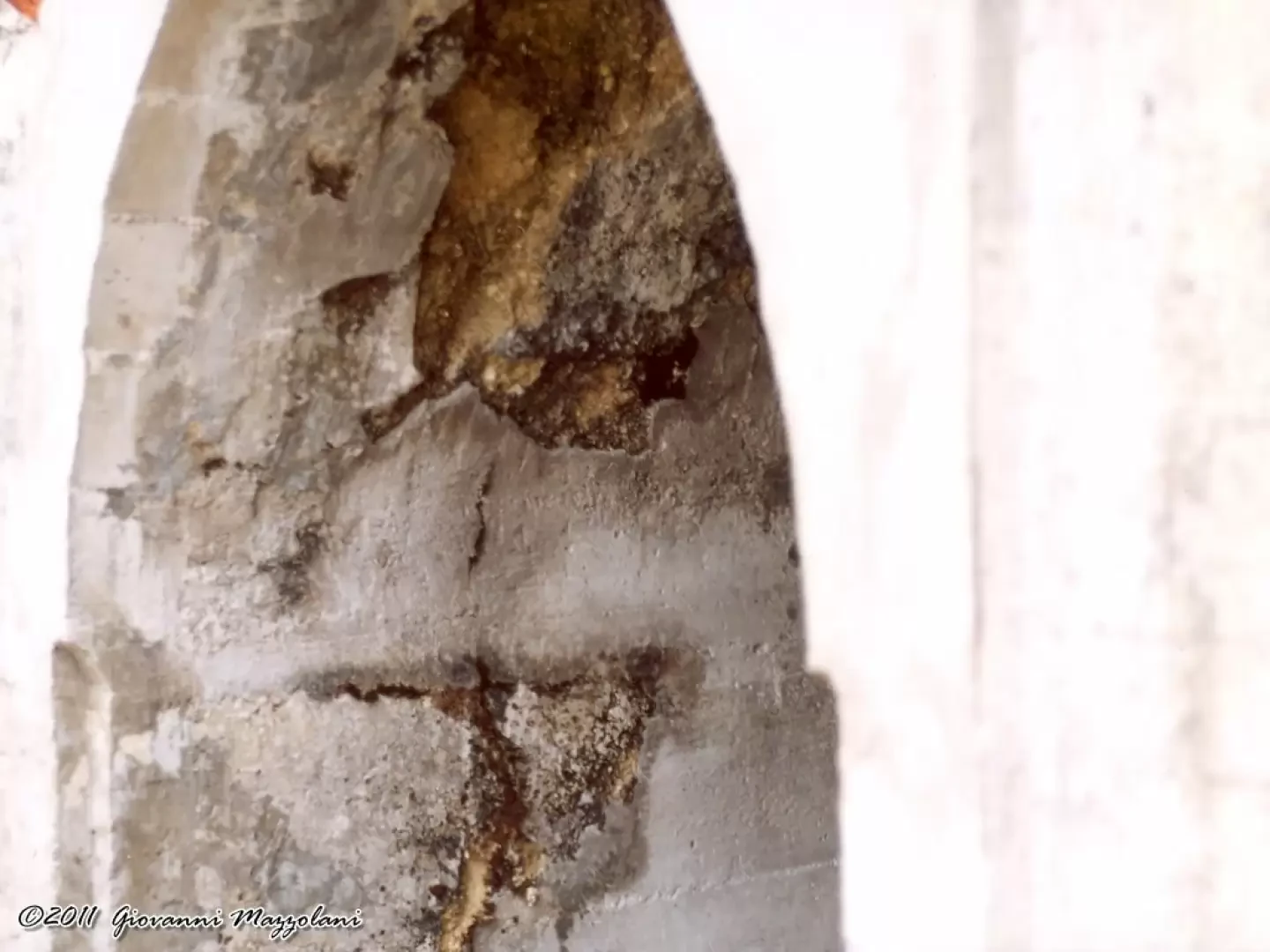
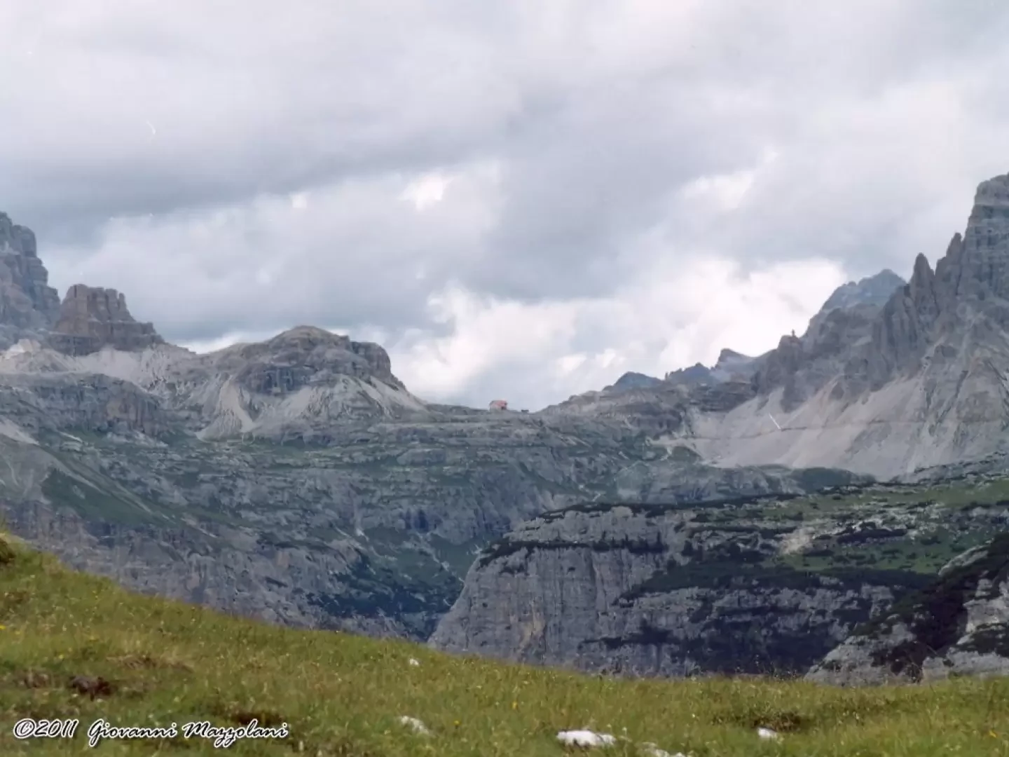
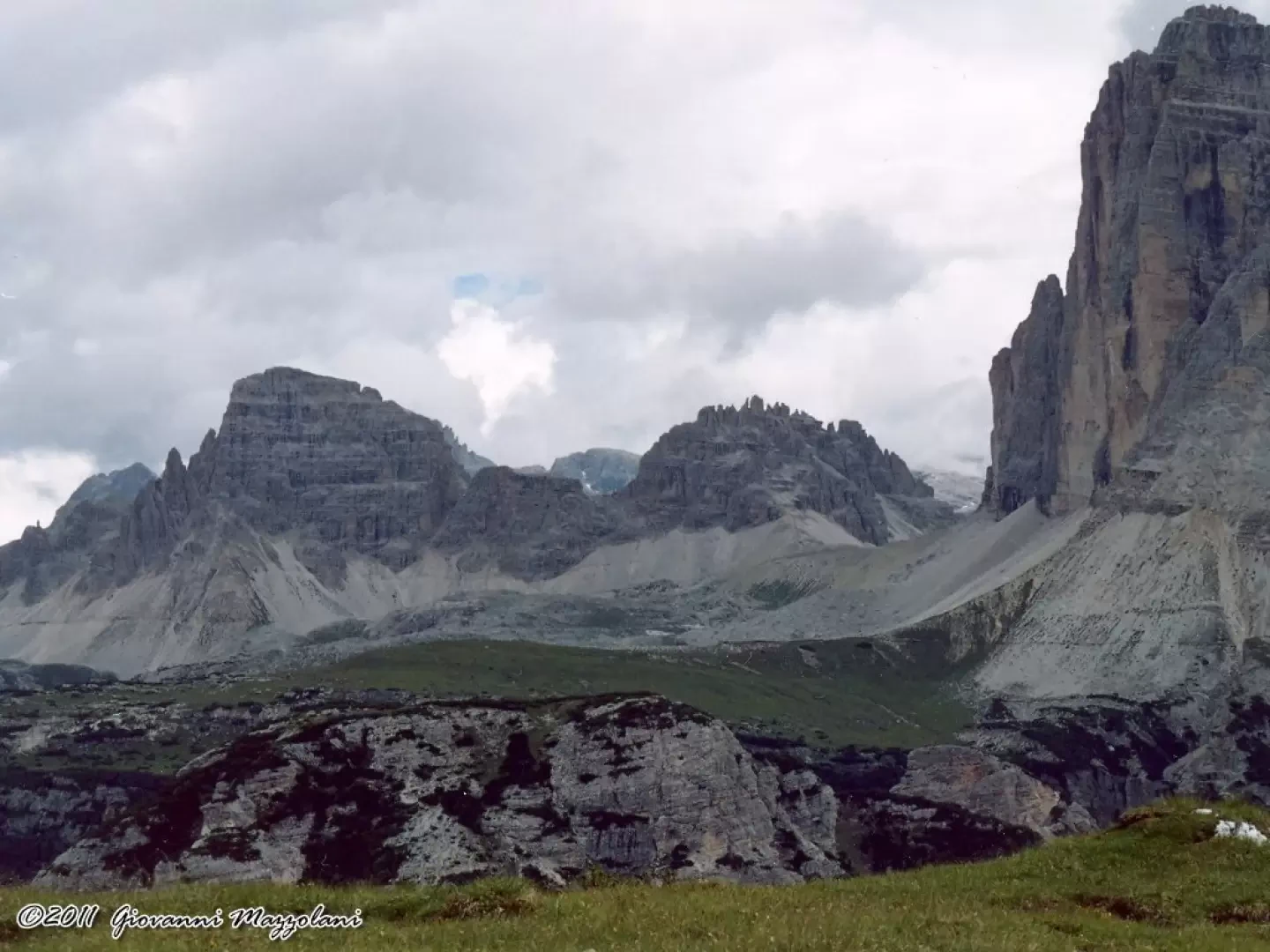
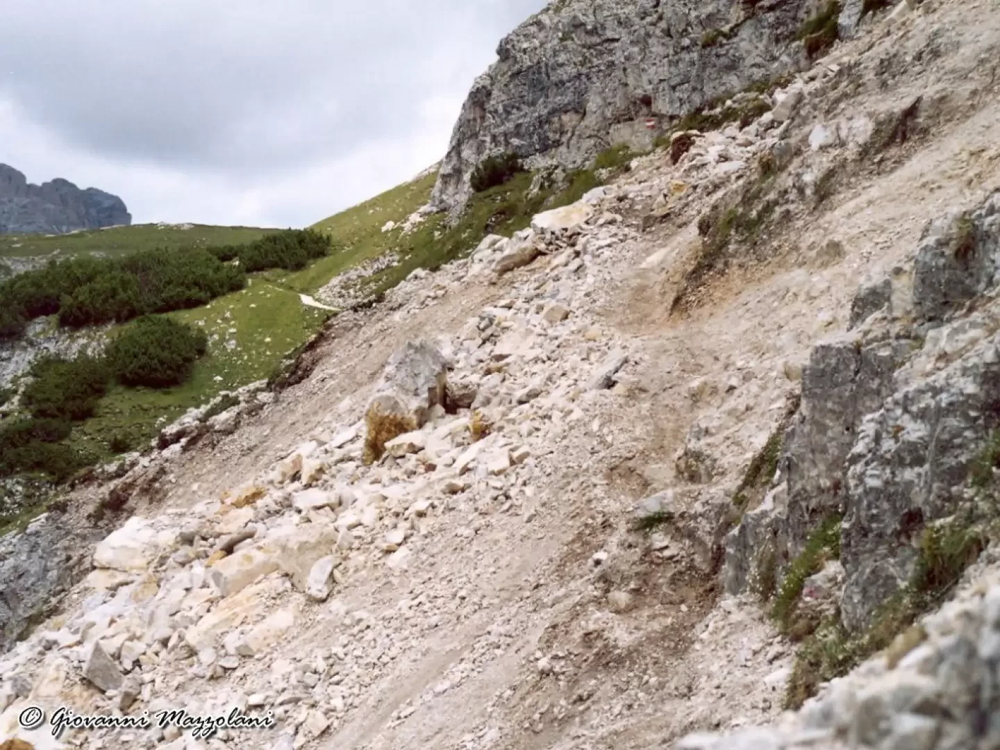
From Landro (Höhlenstein), opposite the Bar-Restaurant 'Flora Alpina' (Alpenflora), begins path no. 6 'Pioneer Path' (Pionierweg), which leads through sparse woodland to cross the stony riverbed of the Rienza River. Just beyond, traces of the drystone wall of the wartime mule track indicate the exact direction. The well-preserved road climbs with prodigious hairpin bends. Delicate passages and exposed stretches until a small war cemetery is reached. Next to the small cemetery was the so-called 'Thè Haus', where mules and soldiers rested before reaching the hell of the front, and the intermediate station of the cable car that ascended from the valley floor. From the "Thè Haus" the path continues past the remains of buildings and huts until it crosses under a beautiful, yellow overhanging wall. Soon we are faced with the immense heaps of ruins of the 'Right Wing' camp: here stood barracks, a dressing station, kitchens and storehouses. There are the remains of the cable car terminal and the former Kaiserjäger battalion command post called 'War Sector Command'. Just below the unusual concrete staircase, to the left of which a short tunnel opens out, is the cavern that served as the high voltage power station, recognisable by the insulators above the entrance. A little further on and here is the Great Cross of Dobbiaco, which dominates the summit of Monte Piano. Nearby, the boundary stone dated 1753 and the first Austrian line, almost all of which is made up of mighty entrenchments, deeply excavated. Trail no. 6/a 'Touristweg' begins here. The path is partly carved into the rock and with wooden constructions where the ground has collapsed. Along the wooded flank, the path becomes steeper. The forest is sparser and the lake can be glimpsed. At the end of the descent, we turn right, the path with a wide loop along the eastern shore of the lake takes us back to the starting point. This is at about 1800 m., here begins Colonel Bilgeri's 'Via' to Monte Piano. Red signposts 500 m difference in altitude, difficulty EEA, equipped path with strong exposure.
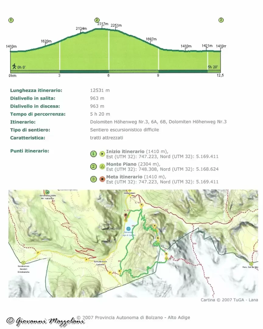
General Information
Route:from Lake Landro (Pionierweg - Monte Piano - Touristweg) Trail signposts: 6, 6A Type of route: circular Recommended period:end of June, July, August, September Exposure to sunshine:Exposed sections:Some exposed and equipped passages


Comments (0)
Sign in to leave a comment