Colle delle Acque Rosse, from Lillaz

Edited by:
Massimo Martini
Updated at: 29/05/2026
Access
At the motorway junction of Aosta West, turn right and take the regional road for the Cogne valley. Drive through the village of Aymavilles and, after 1.3 kilometres, take the second exit at the roundabout. Go up the regional road for 19 kilometres, passing the villages of Vieyes, Epinel and Crétaz, until you reach a roundabout: take the second exit, following the signs for Lillaz. Continue on the communal road for about one kilometre until you come to another roundabout; go straight on for another 1.8 kilometres until you reach the large car park 🅿️ in Lillaz, made up of three sections: the car parks closest to the start of the paths are pay-parking, the central ones are free, and the furthest away are for motorhomes.
[0h32'] - [24.0km]
How to get there with GMAPS
How to get there with Apple Maps
The directions provided have been carefully checked as of the date the route was taken. However, it is highly recommended to check for any changes that may have occurred since then, especially regarding the route to the starting point. Before embarking on your journey, it is advisable to consult up-to-date navigation tools for accurate and up-to-date directions. We recommend the use of satellite navigation apps, such as Google Maps or Apple Maps, to ensure the most accurate and safe route.
Introduction
Description
We have been there

Edited by:
Ivo Giansetto
Vallone delle Acque Rosse
Giornata splendida. Vento forte dal pomeriggio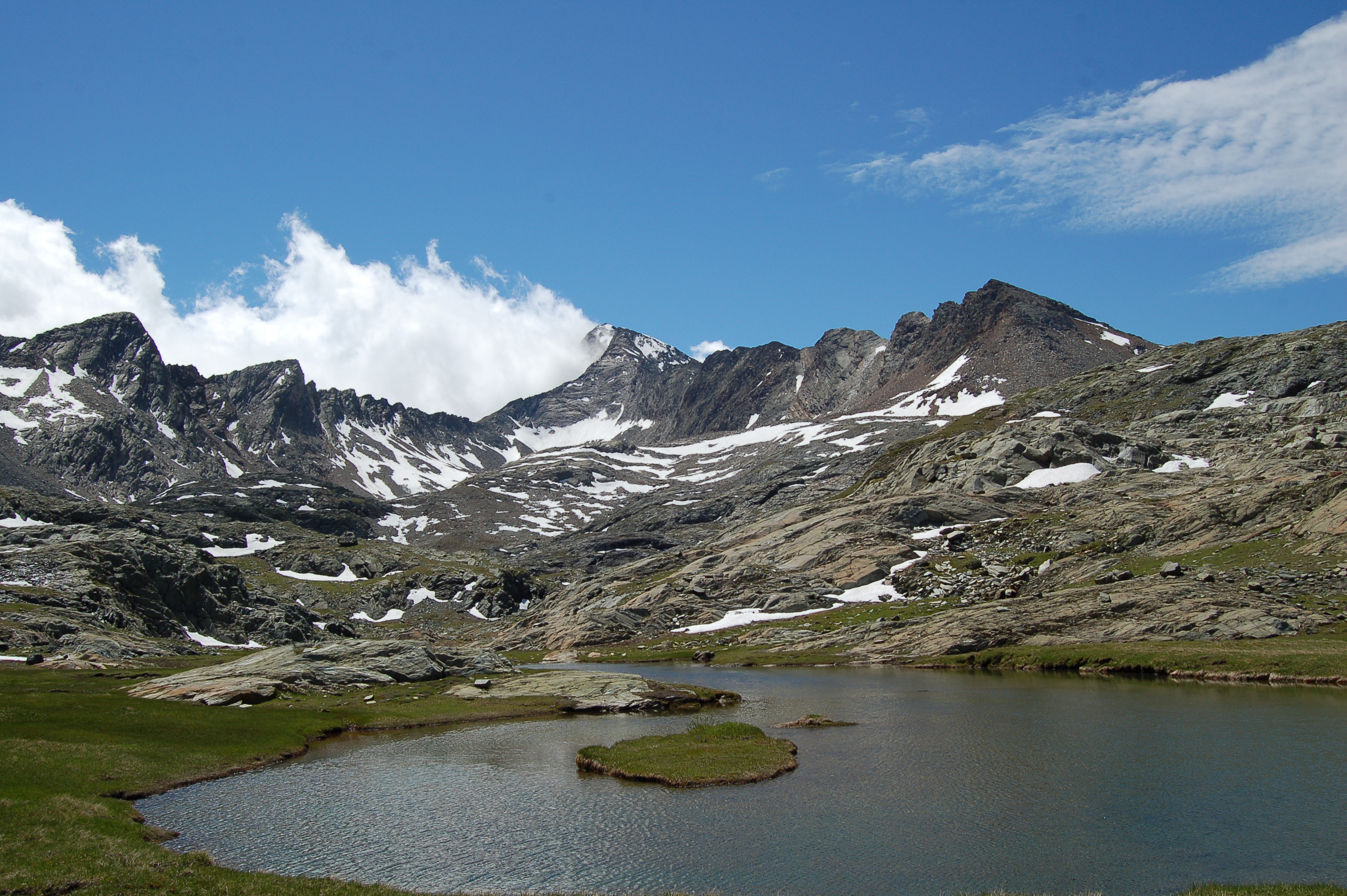
Comments (0)
Sign in to leave a comment