At the Courmayeur motorway exit, enter the tourist centre. Just beyond the conference centre turn left towards Val Veny (signposted on site) until you reach La Visaille (1659 m). Park near the barrier that prohibits unauthorised vehicles.
.
Introduction
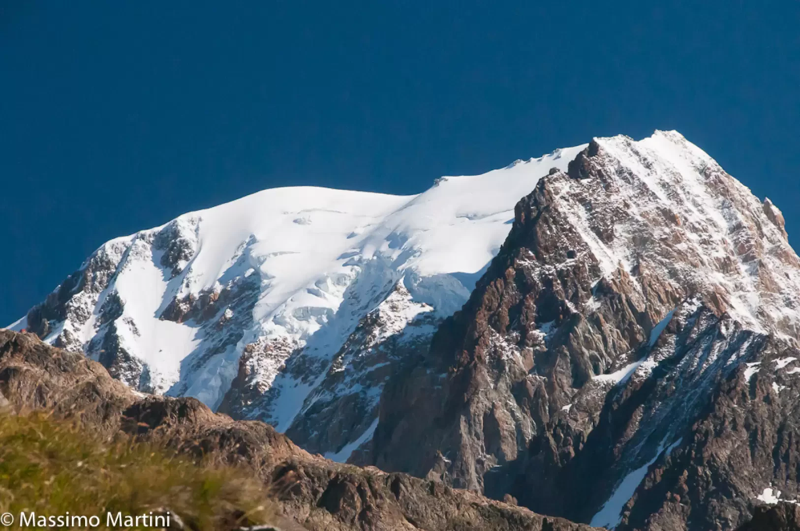
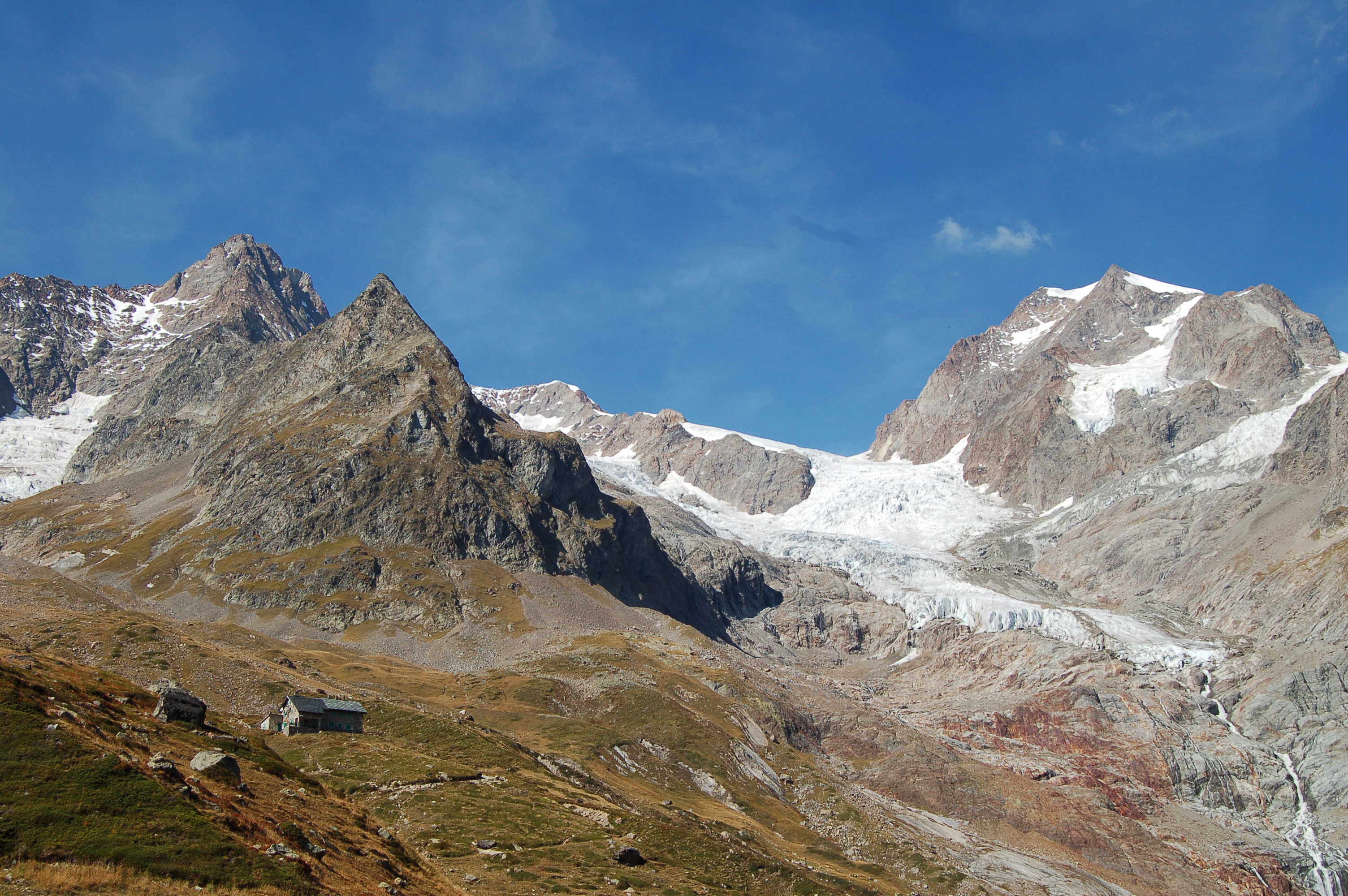
The Col de la Seigne is a pass connecting the Val Veny with the French valley of Chapieux. Used since ancient times, today it is one of the passes of the very popular Tour du Mont Blanc and the entrance ticket to Italy for the athletes of the Ultra Trail du Mont Blanc. The route proposed here describes the ascent to the pass from the Italian side.
Description
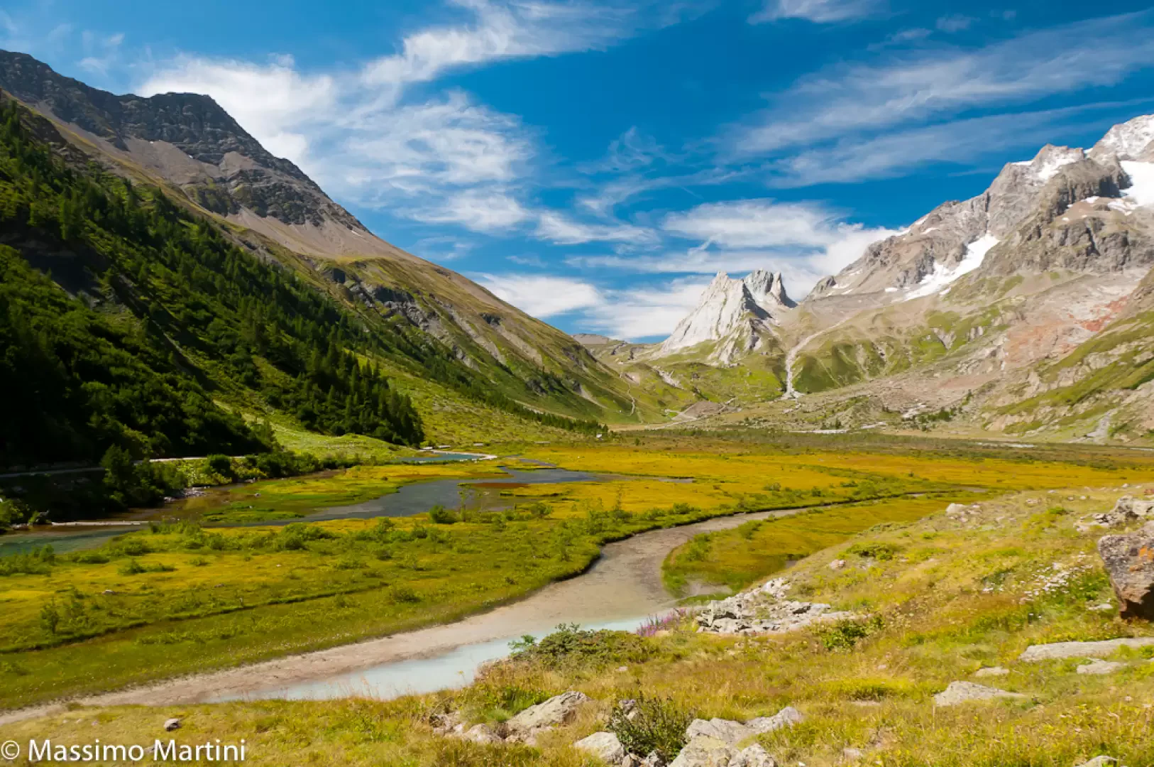
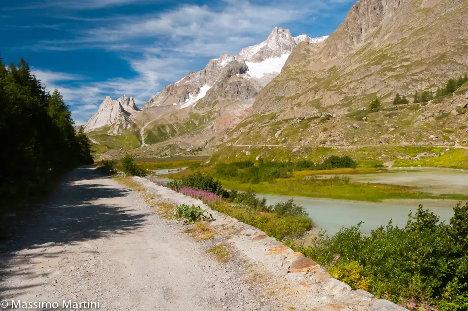
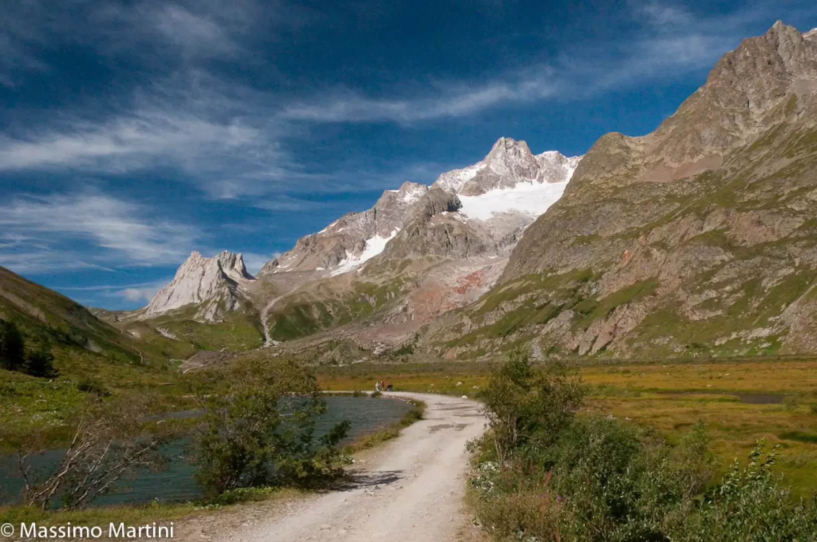
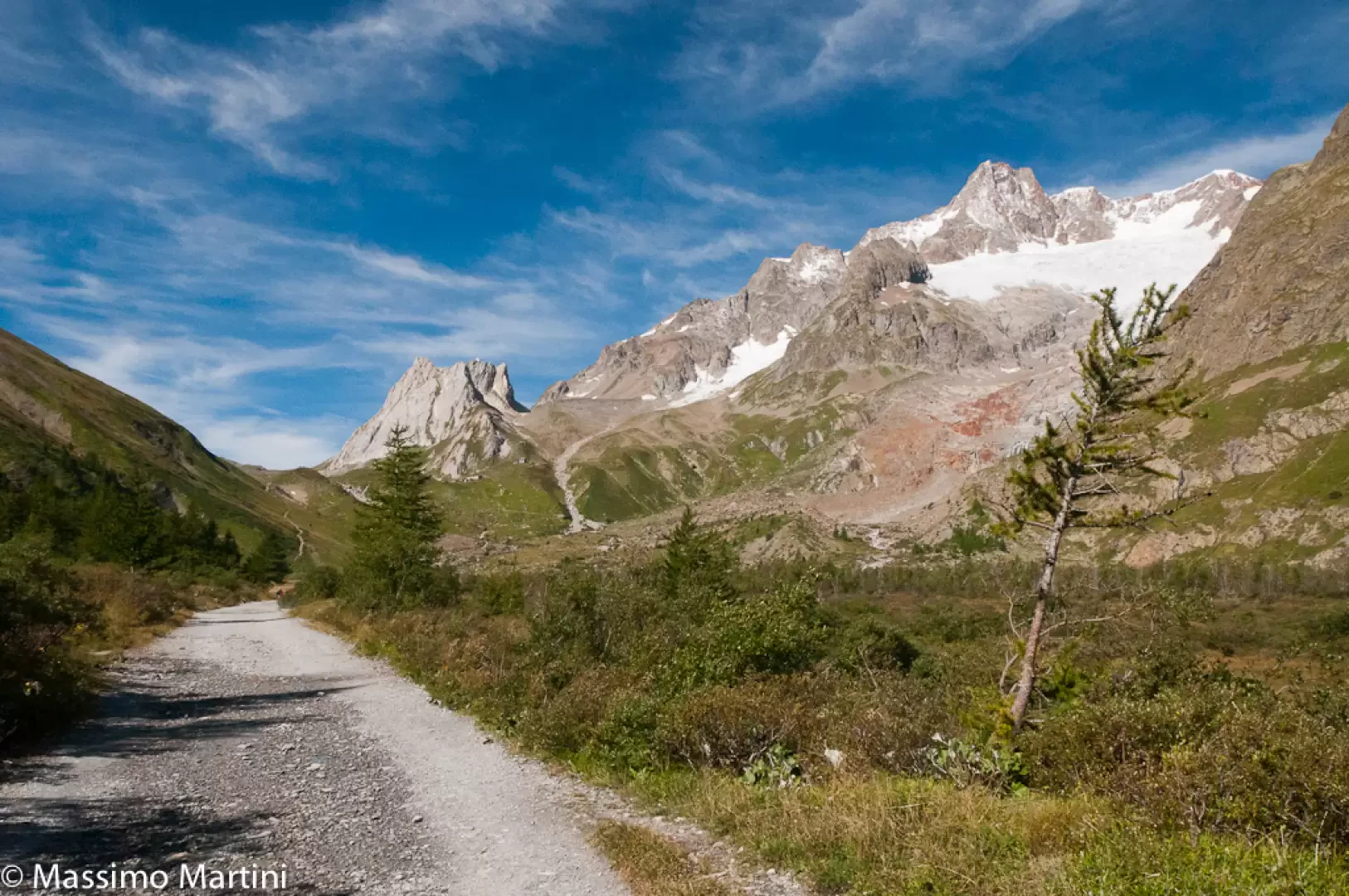
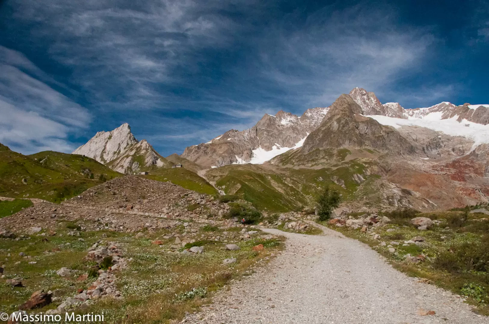
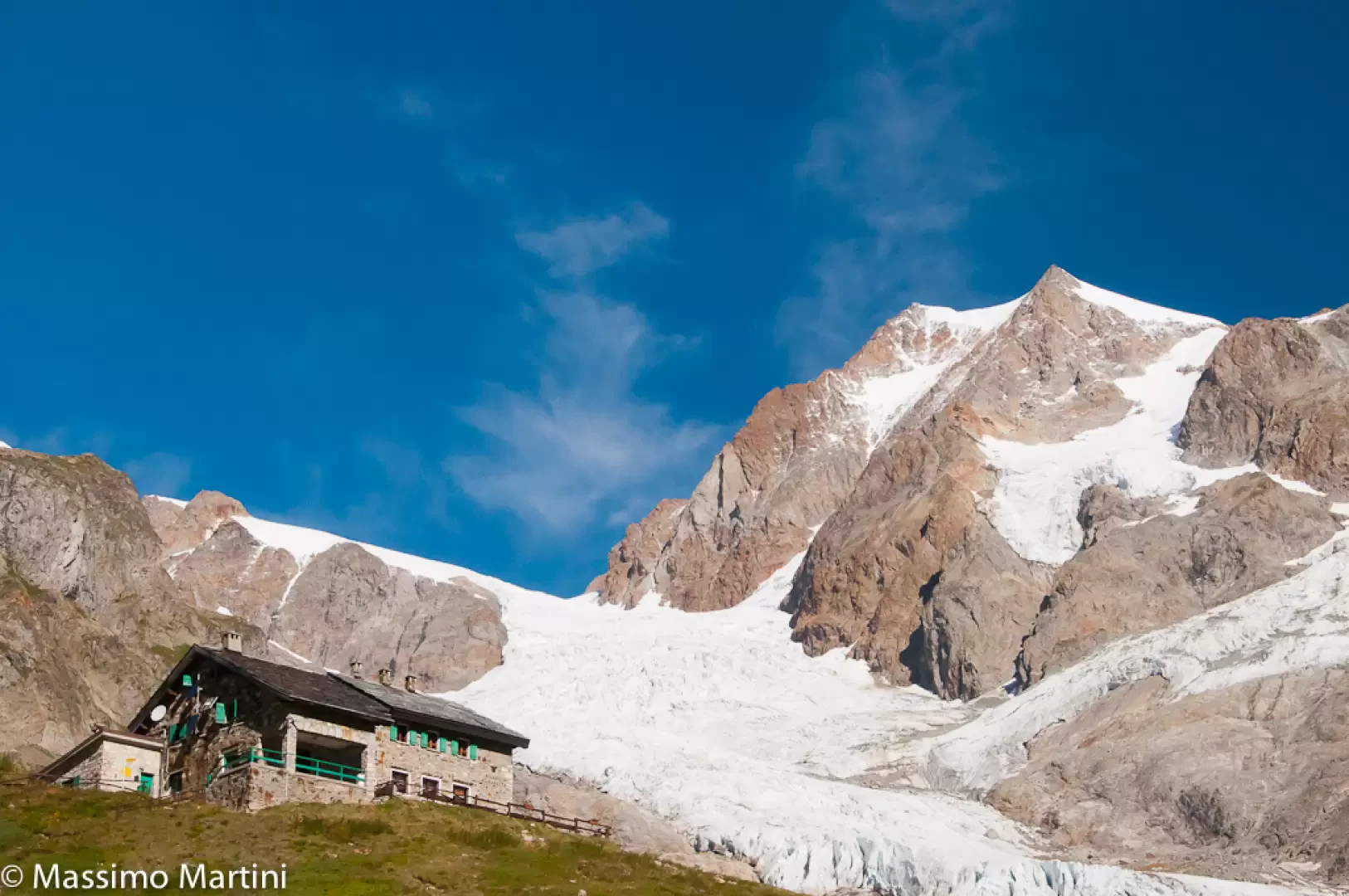
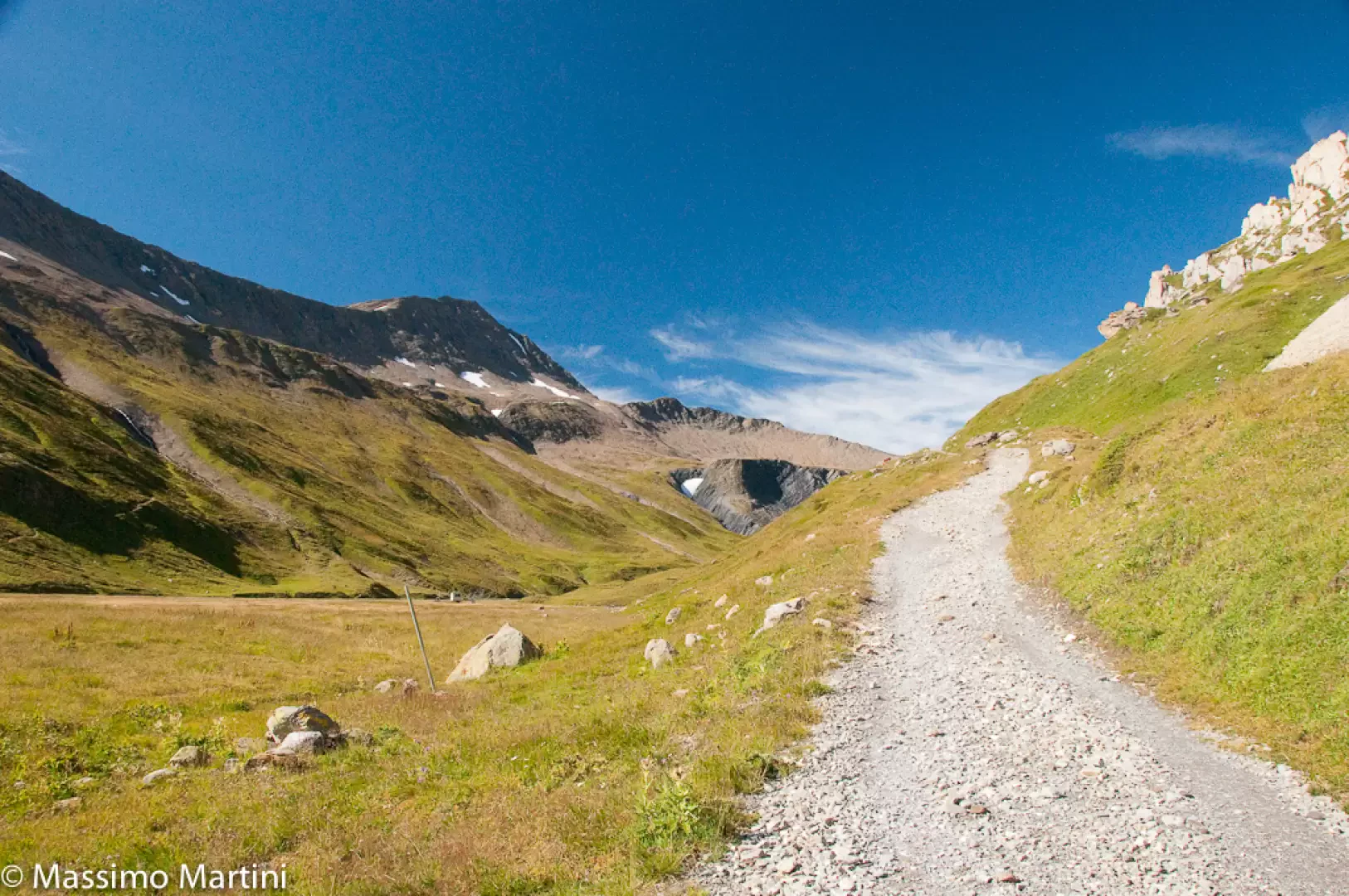
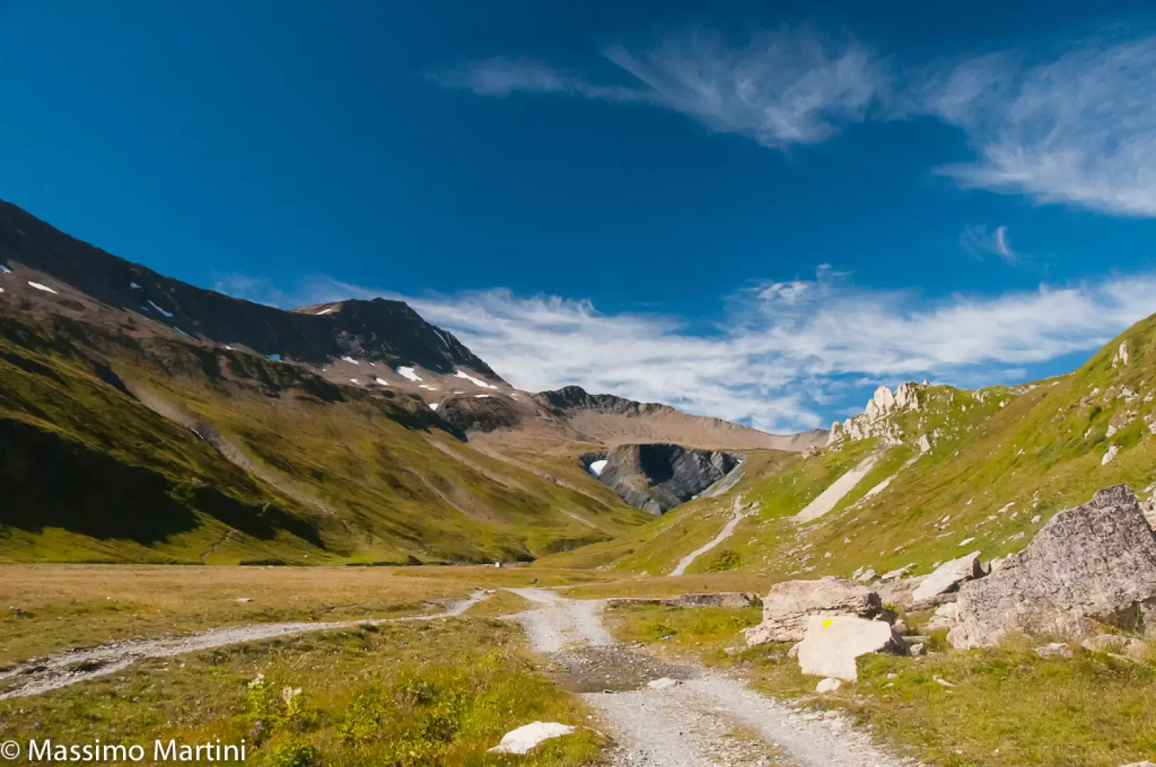
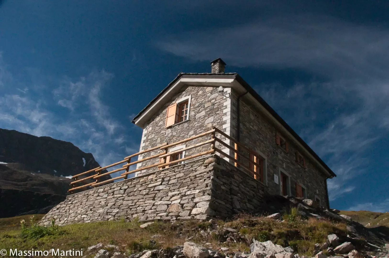
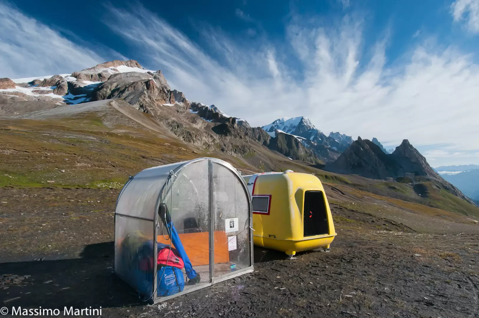
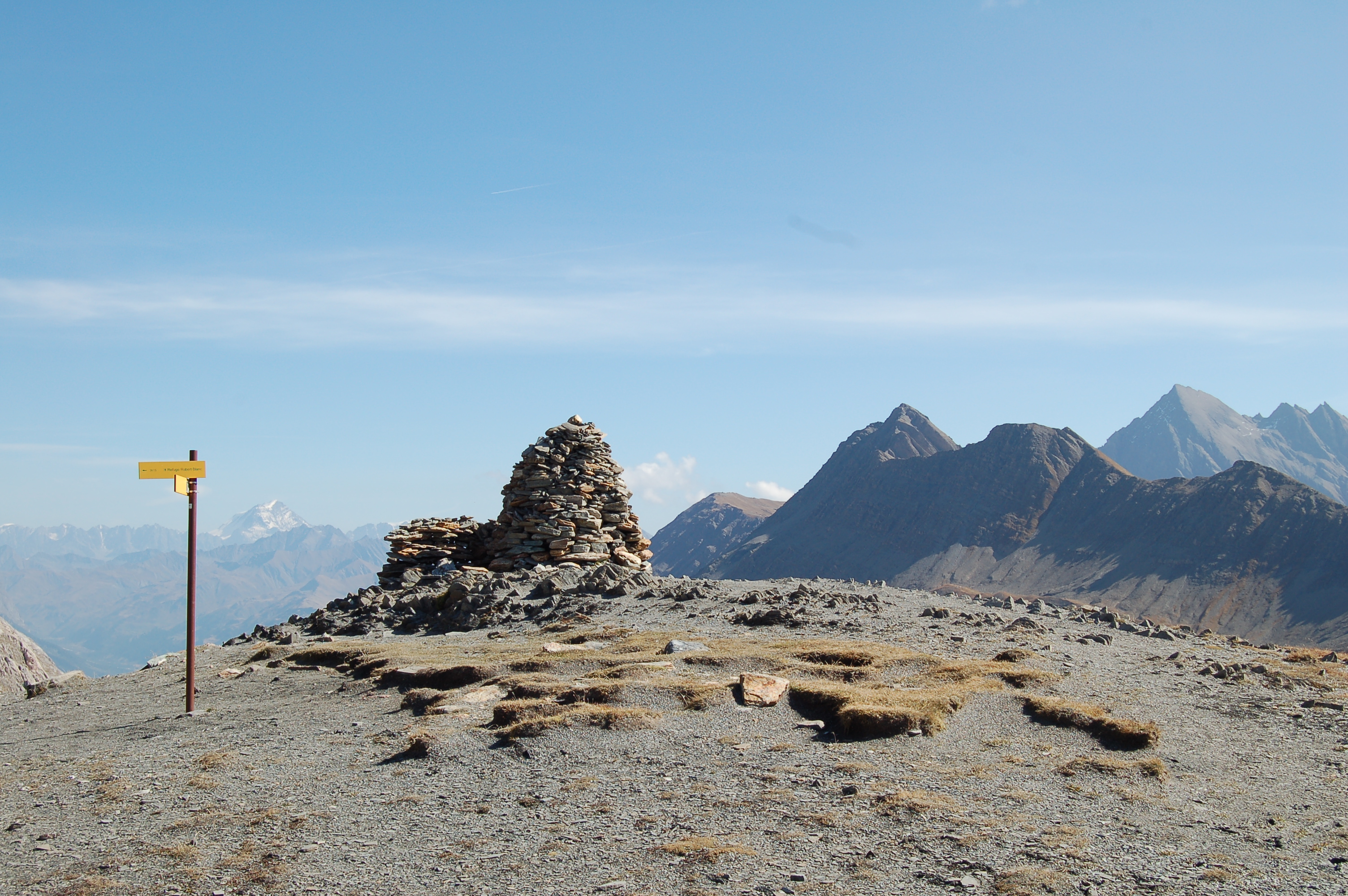
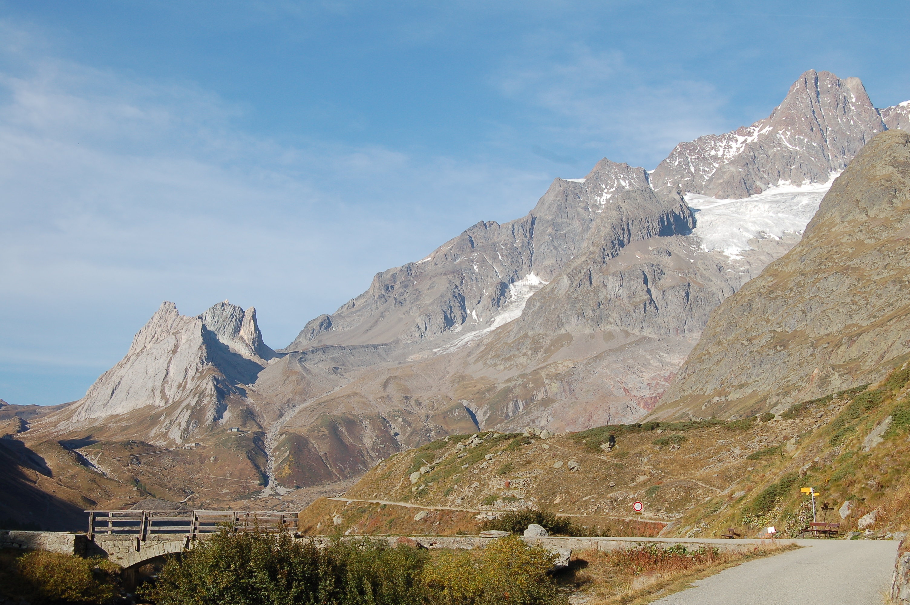
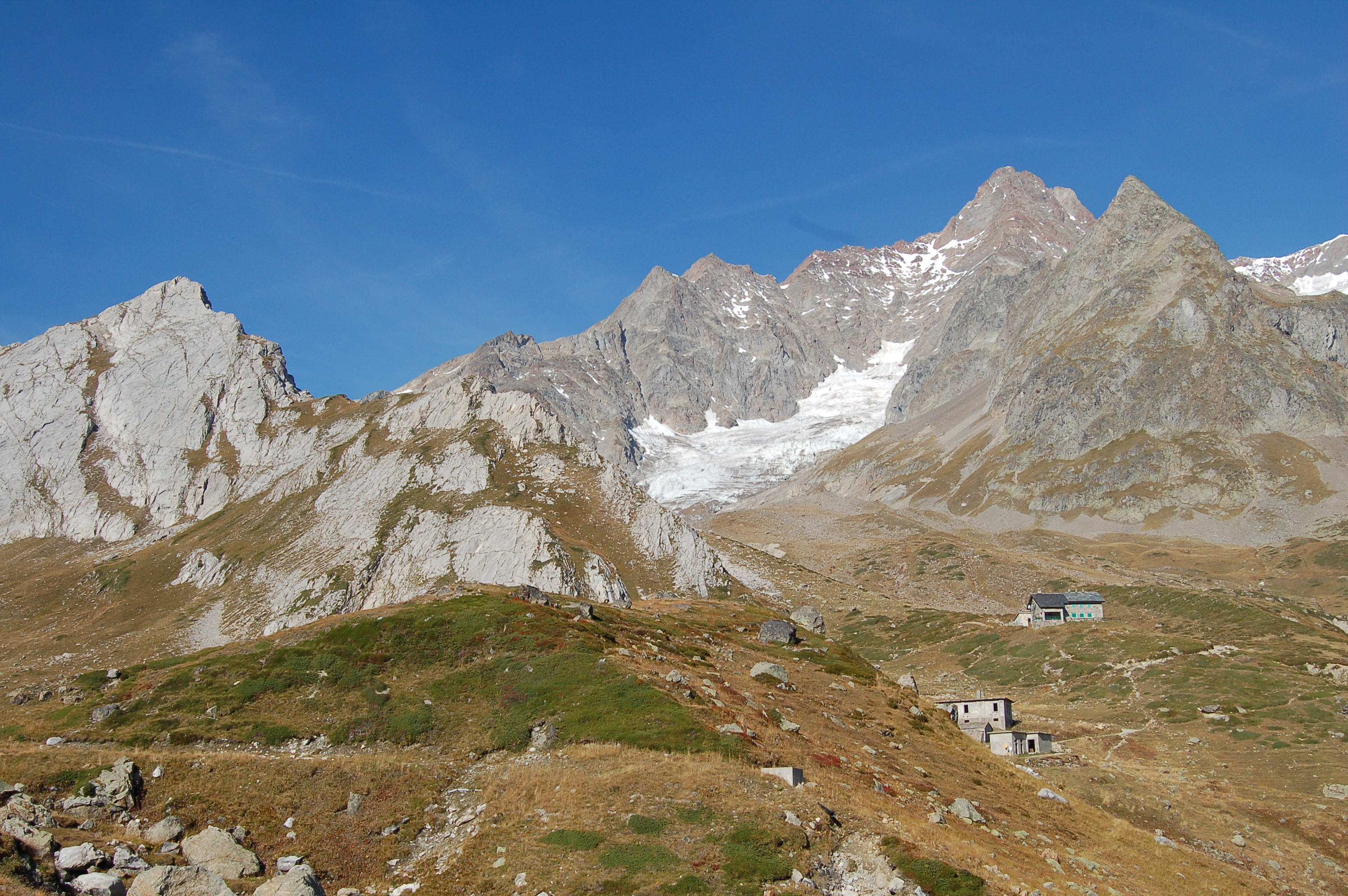
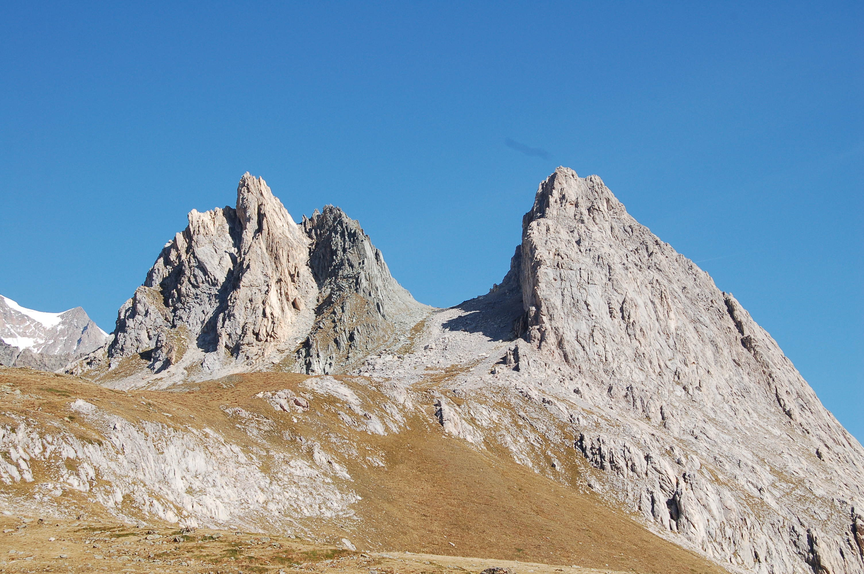
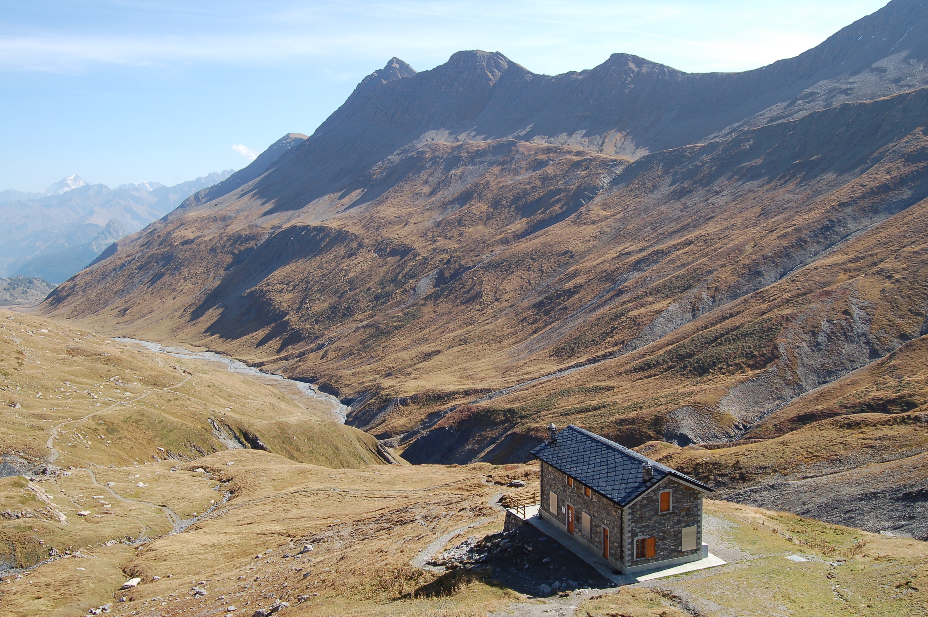
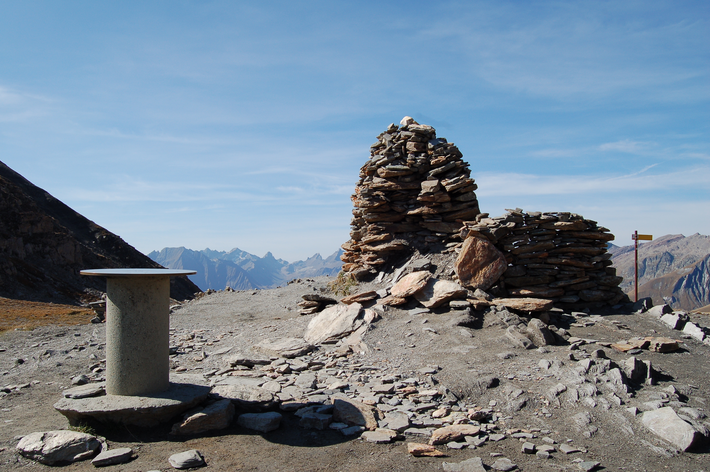
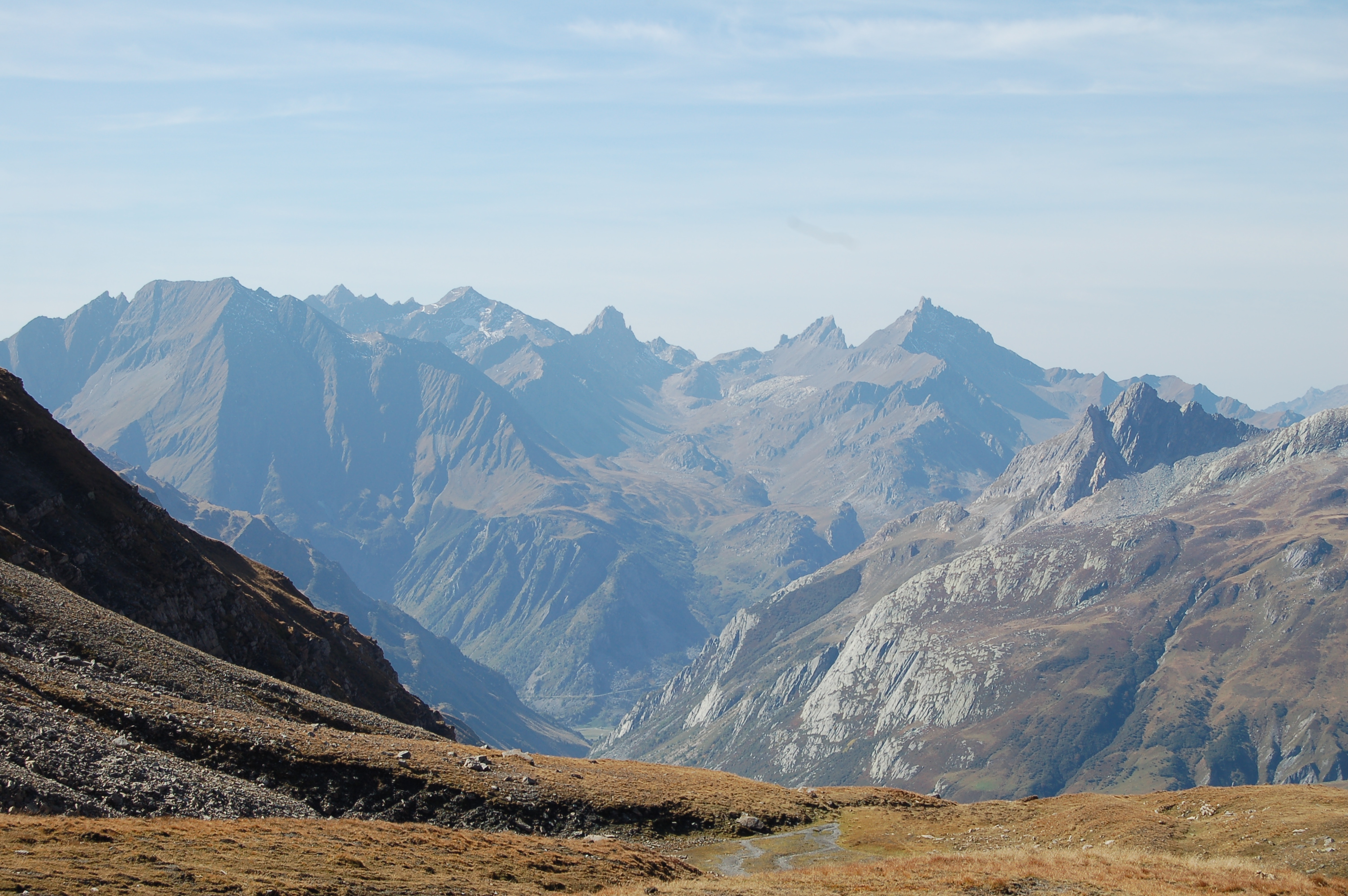
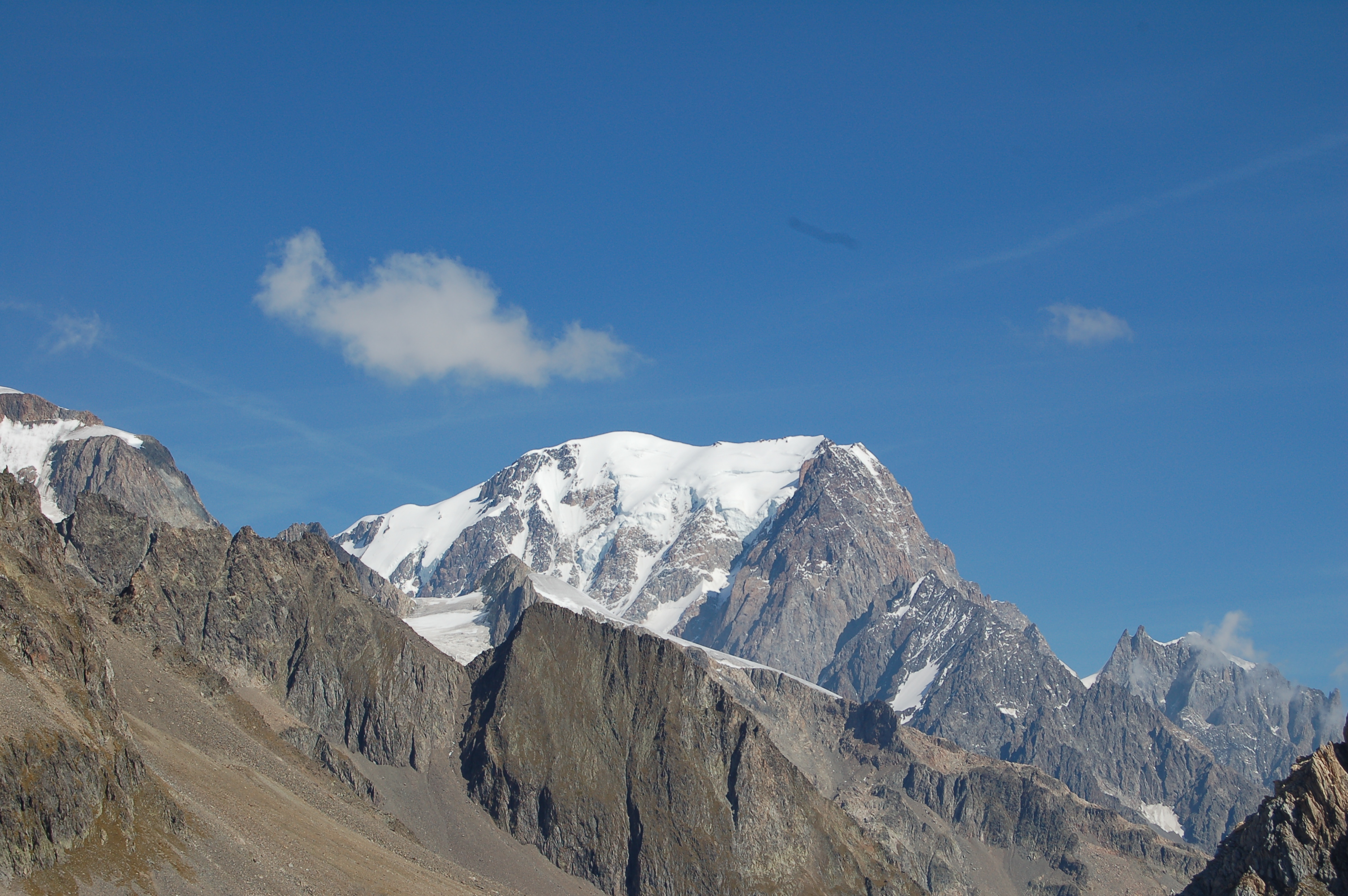
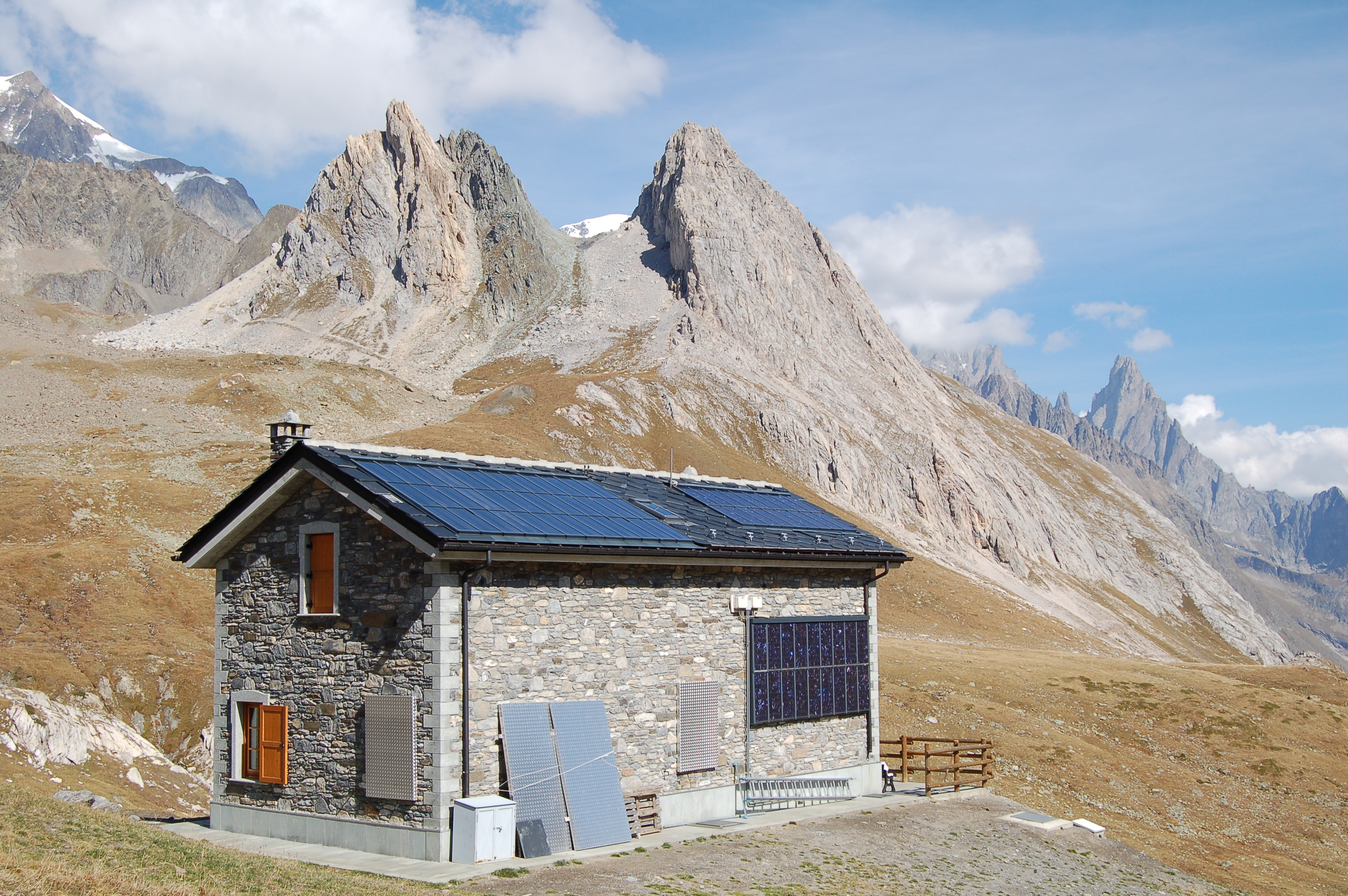
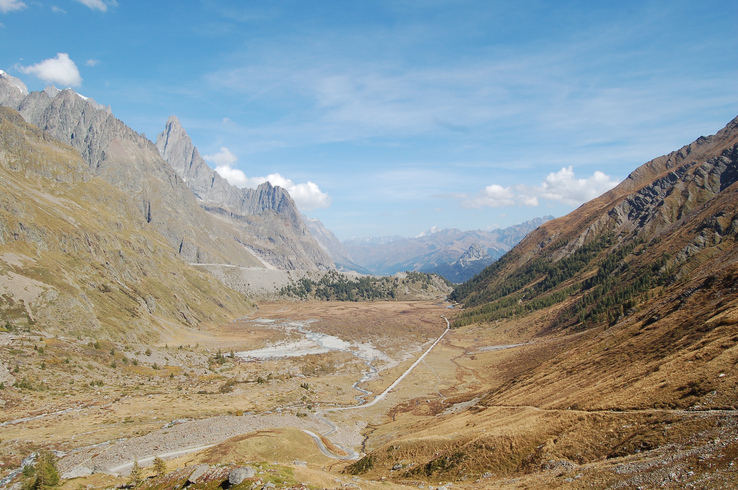
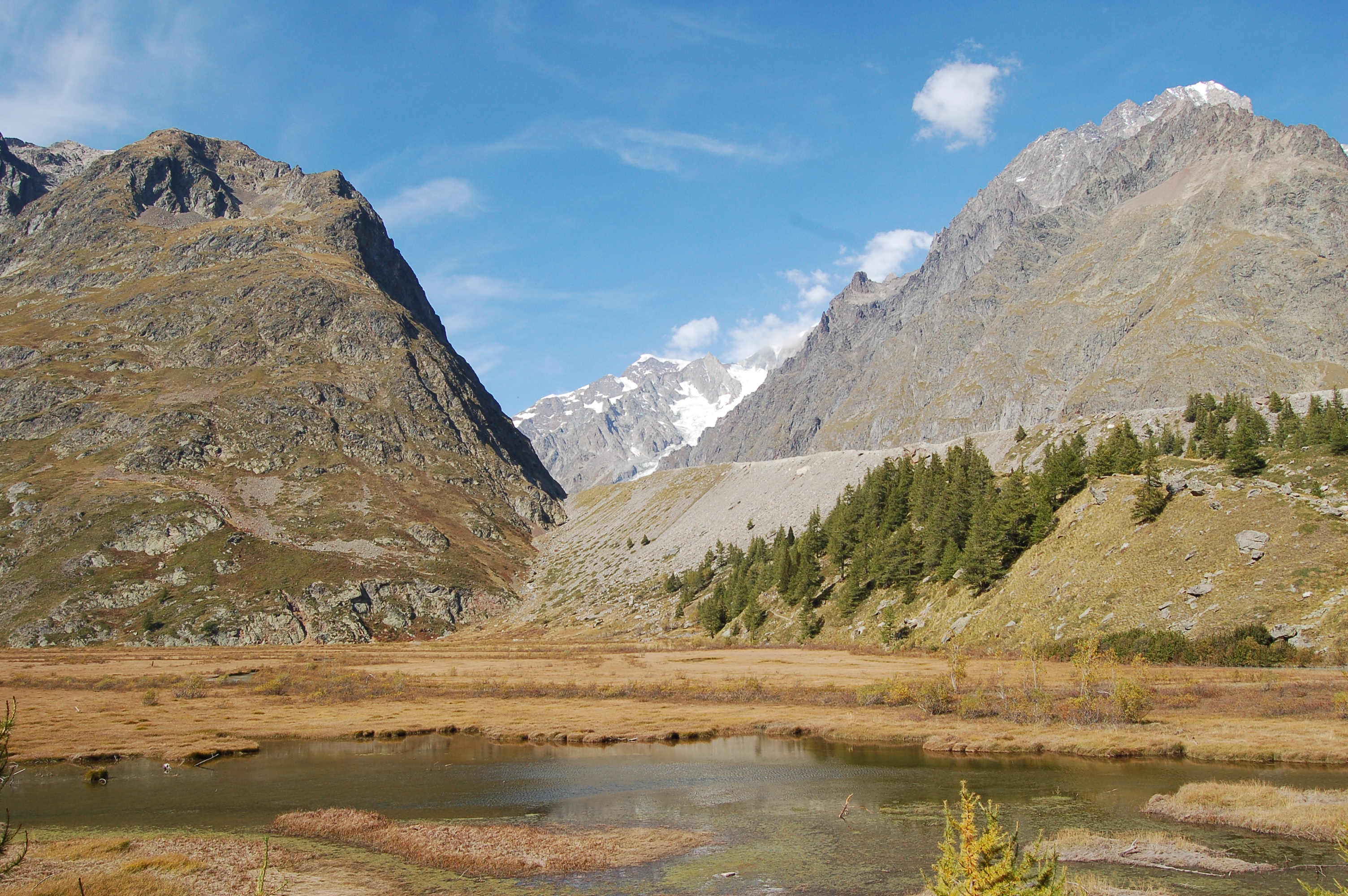
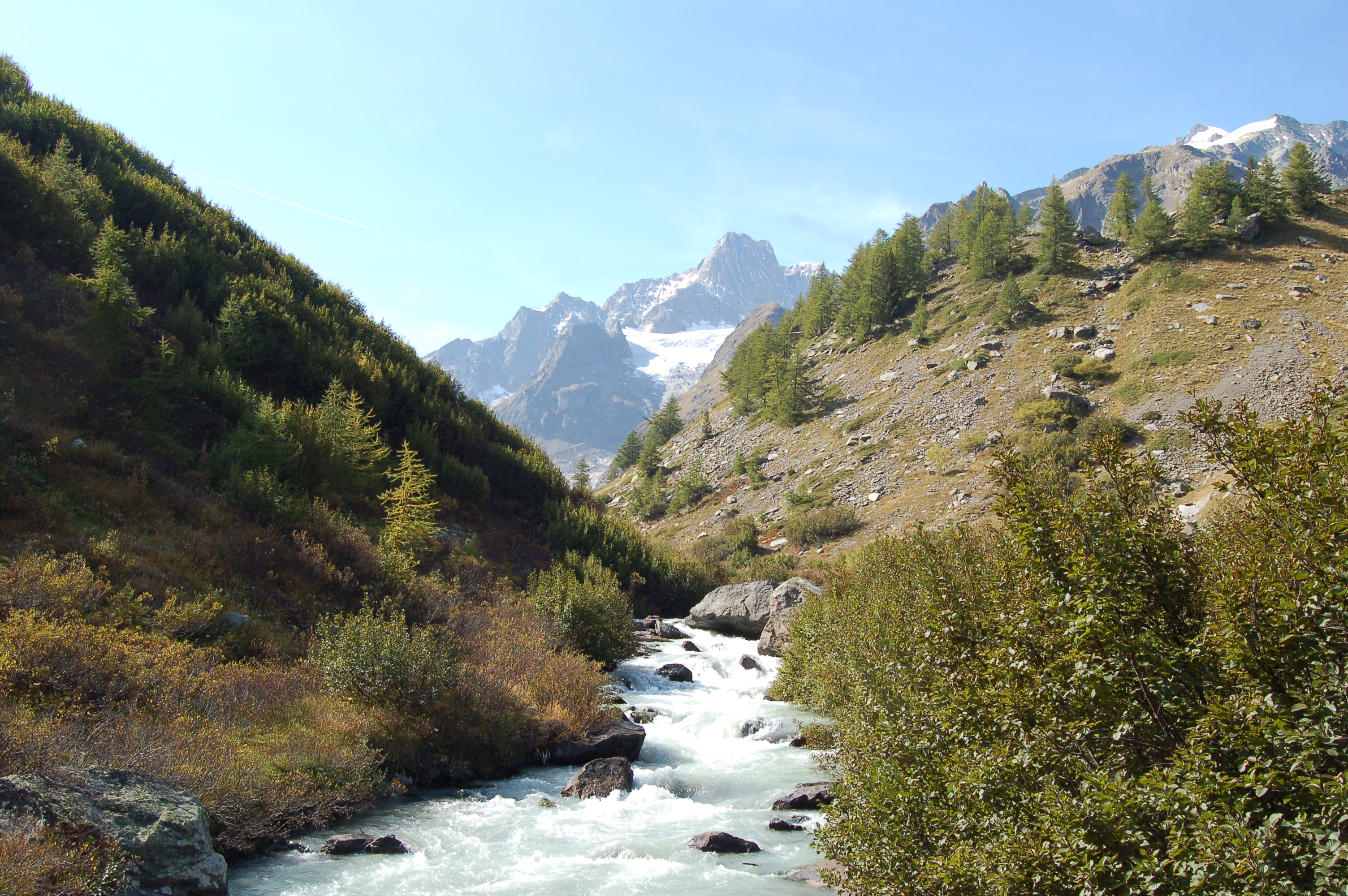
Leaving the car behind, we set off past the bar that effectively closes the road and proceed along it, passing a couple of hairpin bends (there are shortcuts that cut across them). Slowly, you gain height by following the road that runs alongside the Doire du Val Veny; after a short while, on the left, you come to a white rocky band of limestone origin and shortly afterwards the road makes a small bend to overcome a landslide. Continue along the little road and soon reach the junction for Lake Miage (1959m, 0h45'): turn left, cross the stream on a bridge, and continue on a dirt road heading west along Lake Combal; the route is almost flat, skirting a pleasant environment dominated by the imposing peaks of the Mont Blanc massif. At the end of the long straight stretch, the little road begins to climb the morainic step that separates the Combal basin from the upper Val Veny. The road follows a few hairpin bends (shortcuts are present), which soon take us to the Casermette di Lex Blanche (2195m, 1h25'). Continue straight on to the pleasant plateau of Lex Blanche. After crossing the hamlets, continue on the track in the direction of the pass. Slowly leave the flat valley floor to begin the ascent to the right on the track that leads to the Tsa de la Lex Blanche (2280m). At the alpine pasture, the track ends and a wide path begins that heads towards the valley floor, following the non-obvious sinuosities of the terrain. The trail climbs steadily up the boundary watershed until it reaches the Seigne barracks, where a small Espace Mont Blanc museum is located. The last part of the ascent is simply along one of the small valley gullies that make up the hillside; a few short bends finally lead to Col de la Seigne (2510m)
General information
Signposts:
, s.n. and
Type of route:circular Recommended period of time:March, April, May, June, July, August, September, October, November Objective hazard: take care with some passages on rocks in case of wet ground Sun exposure:south-east


Comments (0)
Sign in to leave a comment