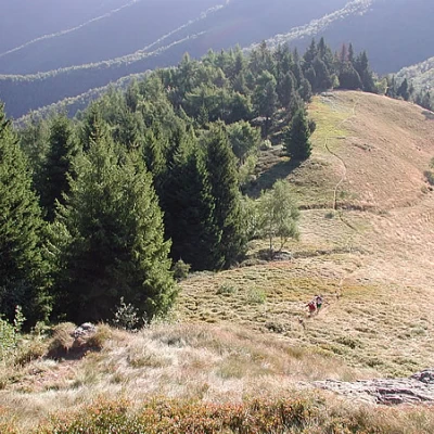
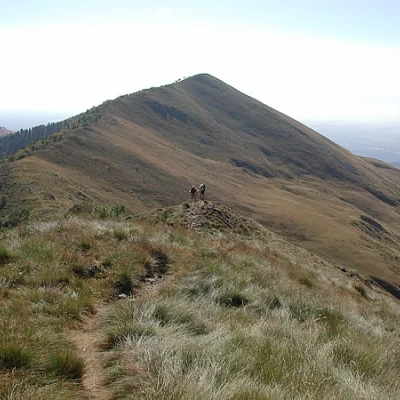
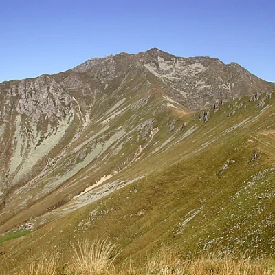
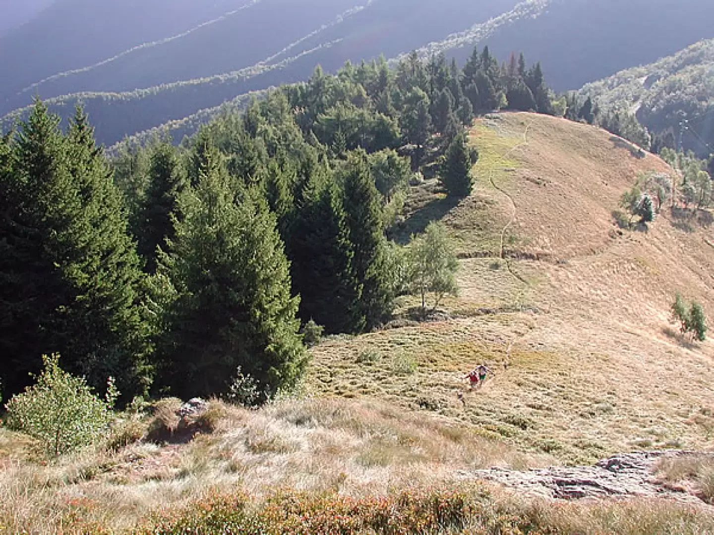
Cima del Bonòm, from Bocchetto Sessera
Access
To make a circular tour, it is best to have two cars, unless you want to hitchhike back to Bocchetto Sessera. From Biella, take the Valle Cervo road, direction Andorno - Piedicavallo. After Valmosca, before the road crosses the Cervo stream at the entrance to Rosazza, turn right onto the Panoramica Zegna. After passing Forgnengo, continue slowly until after about 300 metres, on the left, there is a small square where there is a signpost for the itinerary to Teggie del Campo, set up by the Alpini, who have taken care to mark the entire path. Leave the first car here; this will be the return point from which to retrieve the second car. Continue with the other car for a few km, passing Piaro, until Bocchetto Sessera, where you will park near the restaurant.
Introduction
This route is very scenic, and is part of one of the itineraries to reach Monte Bo, a very long and strenuous itinerary, and from a certain point on also demanding, for experienced hikers. It straddles the Cervo Valley and the Sessera Valley, in an area that was once heavily inhabited, dedicated to pastoral activities and also the site of some mines. The return trip from Bassa del Campo to Teggie del Campo and from there to Piaro, follows paths and old mule tracks, passing near abandoned settlements, which make us realise how hard life was on these mountains even just 100 years ago. I do not recommend this excursion in case of fog: the ridge is beautiful to walk along because of the panorama it offers, and then there are not many reference points; in case of unfavourable weather and doubts, descend as soon as possible decisively to the right: about two hundred metres further down there is the dirt track that leads to the Tegge d'Artignaga and that in winter is a cross-country track: taking it to the right takes you back to Bocchetto Sessera.
Description
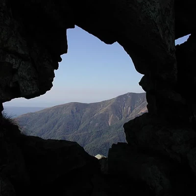
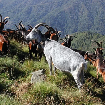
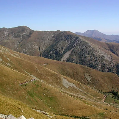
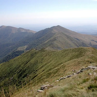
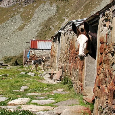
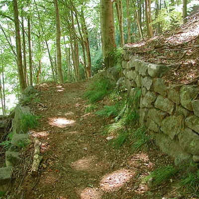
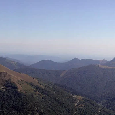
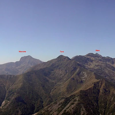
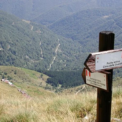
Leaving the car behind, head north, where you look out over the Sessera valley; on the left there are two dirt tracks, one goes down to the Piana del Ponte, the other goes to the Montuccia alps; at the beginning of this dirt track there is a path marked F11 that climbs up the low wall and takes us to the ridge that rises behind the restaurant: take it and follow it, keeping to the edge of the ridge. The path is not always very clear, but the route is logical, and after a few climbs and about an hour's walk, it leads to the summit of our first peak, Monticchio (1697 m). A nice stop is a must to enjoy the surrounding 360-degree panorama, one hundred and eighty of plains and one hundred and eighty of Biellese, Aostane and Valsesiane mountains, while behind us we leave Bielmonte and its winter facilities. From Monticchio we can see our entire crest as far as the Cima del Bònom and the Bassa del Campo. Towards the Biellese, the Pian Musin with its malga, towards the Valsessera all in a row, the Teggie di Artignaga di sopra (Gnart-gnea in dialect), now with a tin roof, once with a thatched roof, and further down Artignaga di sotto. We still descend along the ridge, passing after a while beside a characteristic rock formation, the Pera Fourà (Pietra Forata); the path continues along the edge of the ridge, sometimes towards the Biellese, sometimes towards the Valsessera, and is followed without difficulty, although it is not very well marked; here everyone passes wherever they like... The next elevation is the Colma Bella, (1670 m). We continue our gentle up and down until the final, steeper slope, which leads to the Cima del Bònom; the entire crest is characterised by large stones and rhododendron bushes: pay attention to where you put your feet, there are many holes covered by shrubs... The Bònom is a modest peak from which the watershed divides the valley of the Sassaia stream from that of the Concabbia stream. In front of the Cima del Bònom, separated from the Bassa del Campo, is the Cima delle Guardie; to the north-west, below, we can see the Teggie del Campo, and high above the Teggie, the path that continues to the Cravile, the Manzo and the Bo. We head northwards, descending along the ridge line until we find the marker that marks the path back to Bocchetto Sessera on the right. We head left instead. This is a tricky point, the path is the F1, but I advise against going left in foggy weather, because already with excellent visibility we did not find many signs pointing us to the path to Teggie del Campo, so we used common sense and headed for the huts further down. Don't be tempted by the countless tracks that look like shortcuts, continue along the ridge until you find certain tracks, about 20 minutes from the Cima del Bònom. Go down the tracks towards Teggie, until a few years ago a pasture for cows, now only for goats and sheep. From the Teggie (1616 m), the path becomes the E80, and descends well marked along the pasture, slightly to the left of the casere; having reached a brook, we begin to cross to the right, passing another brook, still on an open slope. At this point, we have moved to the orographic right of the valley. We enter an initial beech forest, taking care not to lose the path, and after a while we come to the Preinz teggie, (1313 m). You pass a small water catchment and cross a small stream, now entering a birch forest. After fording another small stream, we pass the ruined huts of Balmaccia, (1132 m), and then those of Dretto, (1074 m). The path has become a mule track, wide stone steps, low walls to support the terracing, many abandoned farmhouses; at a certain point we abandon the mule track that continues to the right, slightly downhill towards the village of Forgnengo and take the path that with quick turns descends steeply to the small parking area where we left the car (2.15 hours from the Cima del Bònom).
