From the motorway junction exit at Châtillon, turn right towards the spa town. After passing a set of traffic lights, continue straight on into Saint-Vincent and, at the roundabout in front of the Casino de la Vallée, take the second exit onto Via Marconi, which branches off to the left. Go all the way along Via Marconi, then Via Roma until you reach Piazza XXVIII Aprile: at the roundabout go straight on, second exit, along Via Ponte Romano until you reach it where, on the right just after the playground area, you will find a small car park 🅿️.
[0h07'] - [4.1km] How to get there with GMAPS How to get there with Apple Maps How to get there with Moovit
The information provided here has been verified as of the date of the route survey. Before setting off, it is advisable to ensure that no substantial changes have occurred on the route to the starting point. We therefore recommend the use of the satellite navigation apps provided by Google or Apple for up-to-date and detailed directions.
Introduction
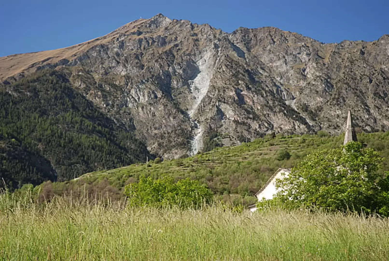
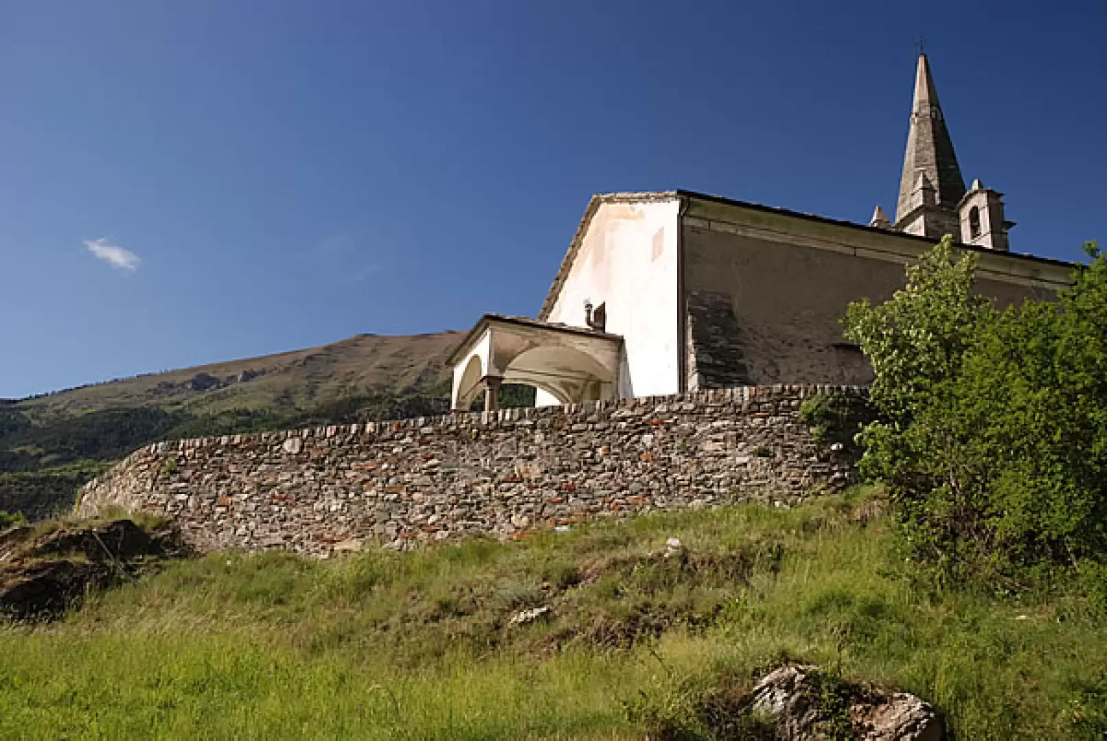
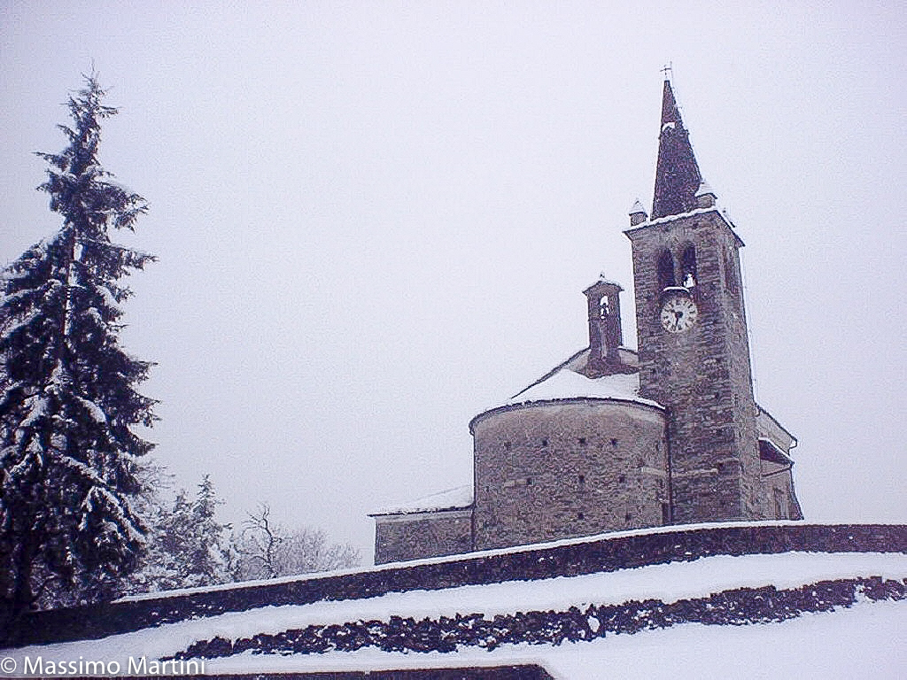
Short walk through the woods of the Cillian valley. The destination, the church of San Maurizio (better known as the church of Moron) is said to be the oldest church in the Aosta Valley (Mons. Duc dates its construction to 1112), but there are no documents to confirm this.
Description
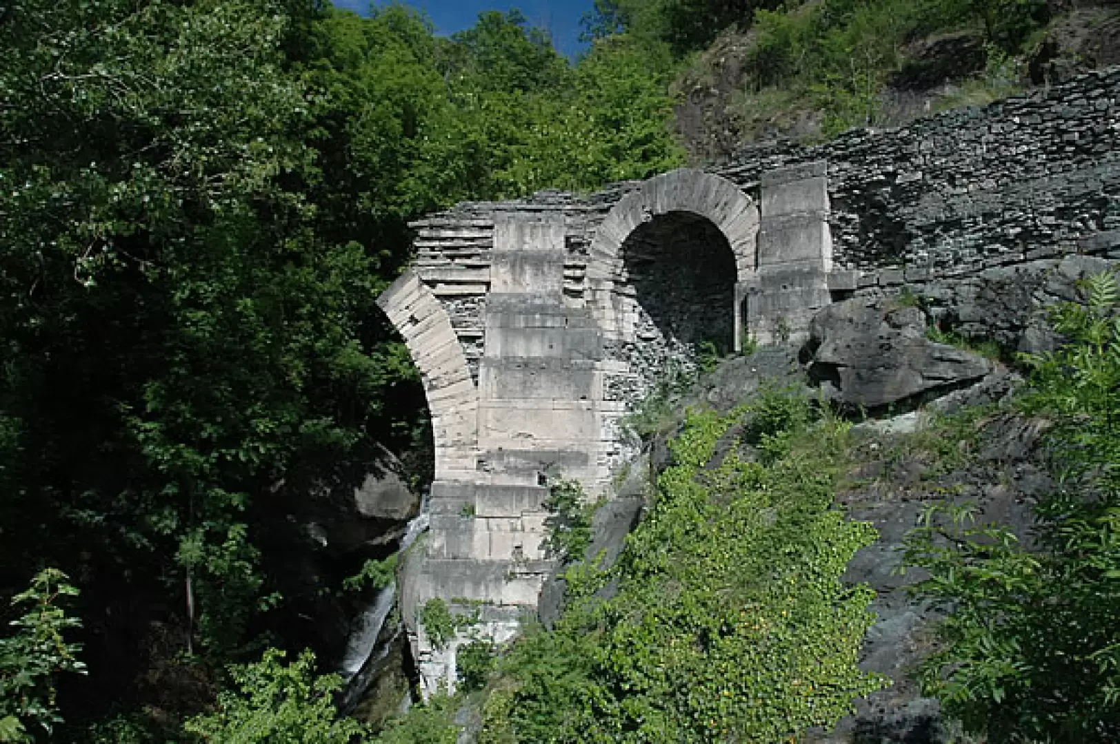
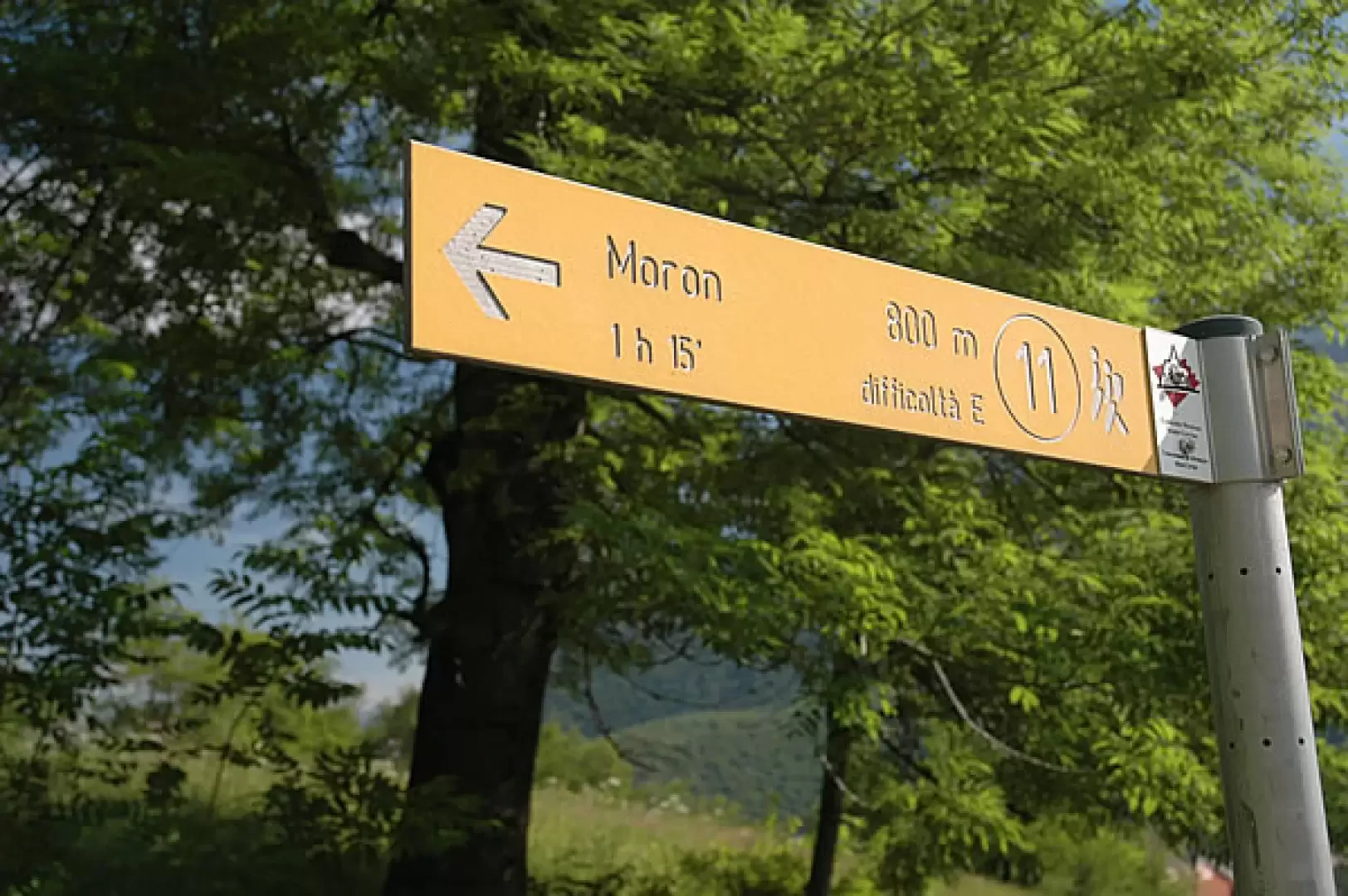
0h00' After leaving the car, you will immediately come across an explanatory panel showing the main features of the route you are going to take. Cross the road and walk near the Roman bridge dating from the first century B.C.: a few dozen metres to the right is the start of a path that immediately meets a signpost indicating Moron (path
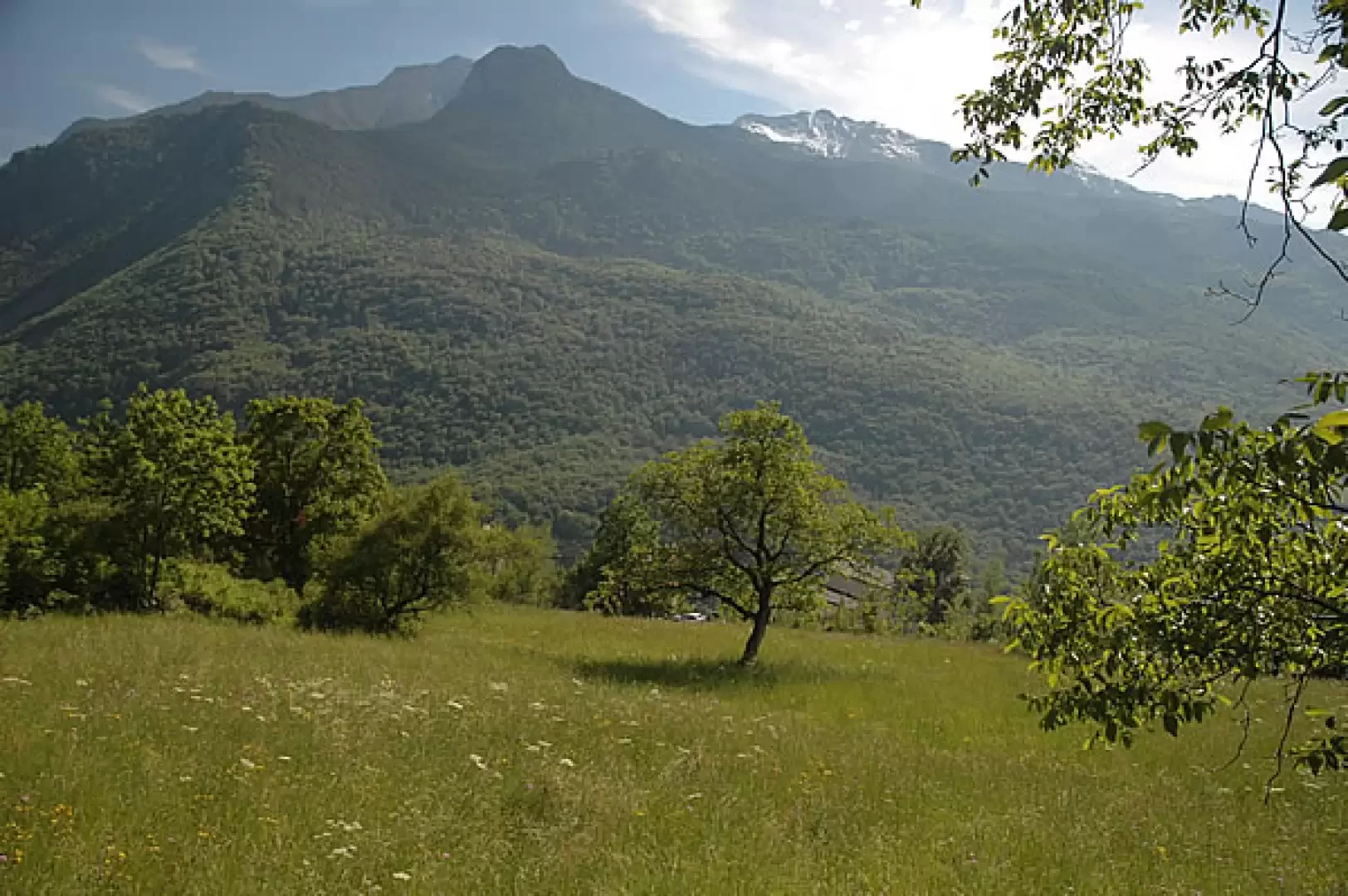
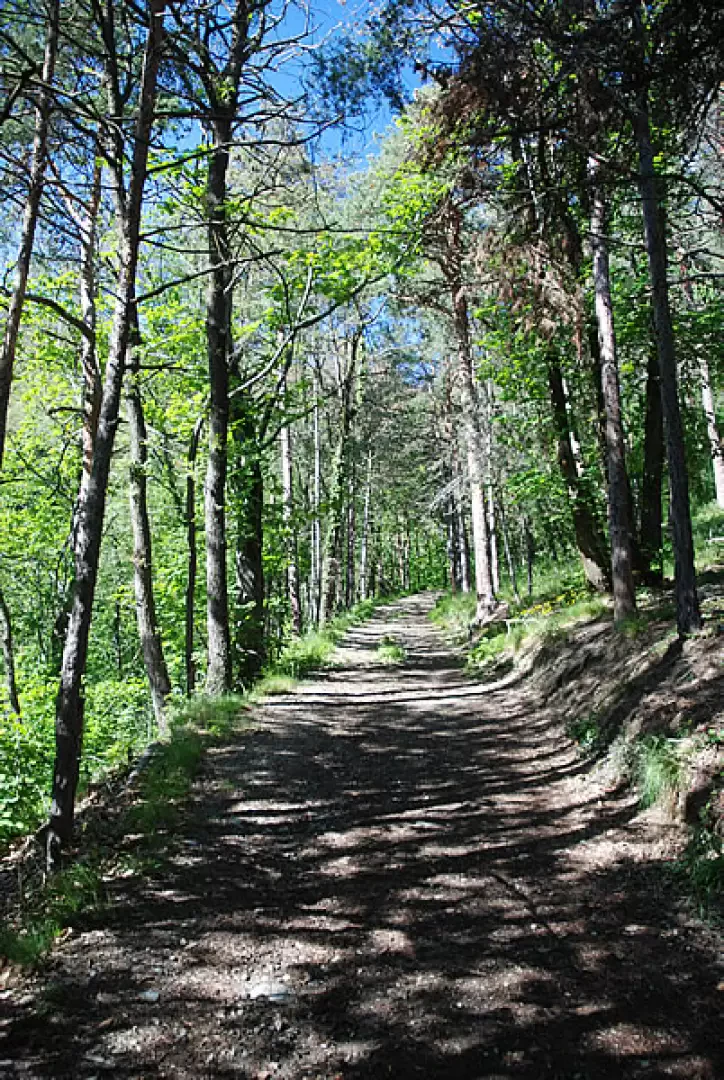
, 800 m, 1h15'); turn left, passing near the walls with a climbing wall, and, after turning right again, proceed along the lovely flat and shady path. After a few beautiful views of Mont Barbeston, it tilts slightly to the left and begins a gentle ascent skirting vegetable fields. Shortly before Cillian, you will come across a marker stuck in the ground bearing the logo of the route to Mont Tsailloun (600m, 0h05'): ignore the diversions to the right to Mont Tsailloun and soon reach the village of Cillian (615m; 0h08'💧).
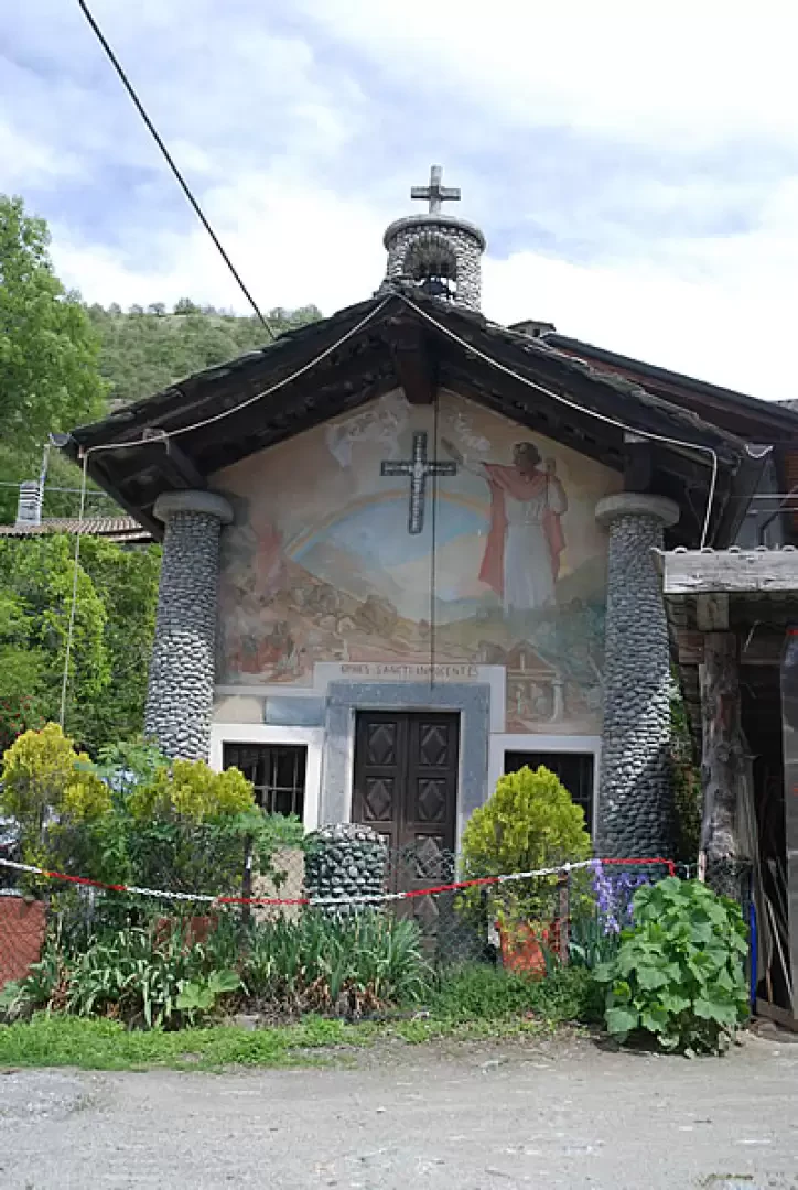
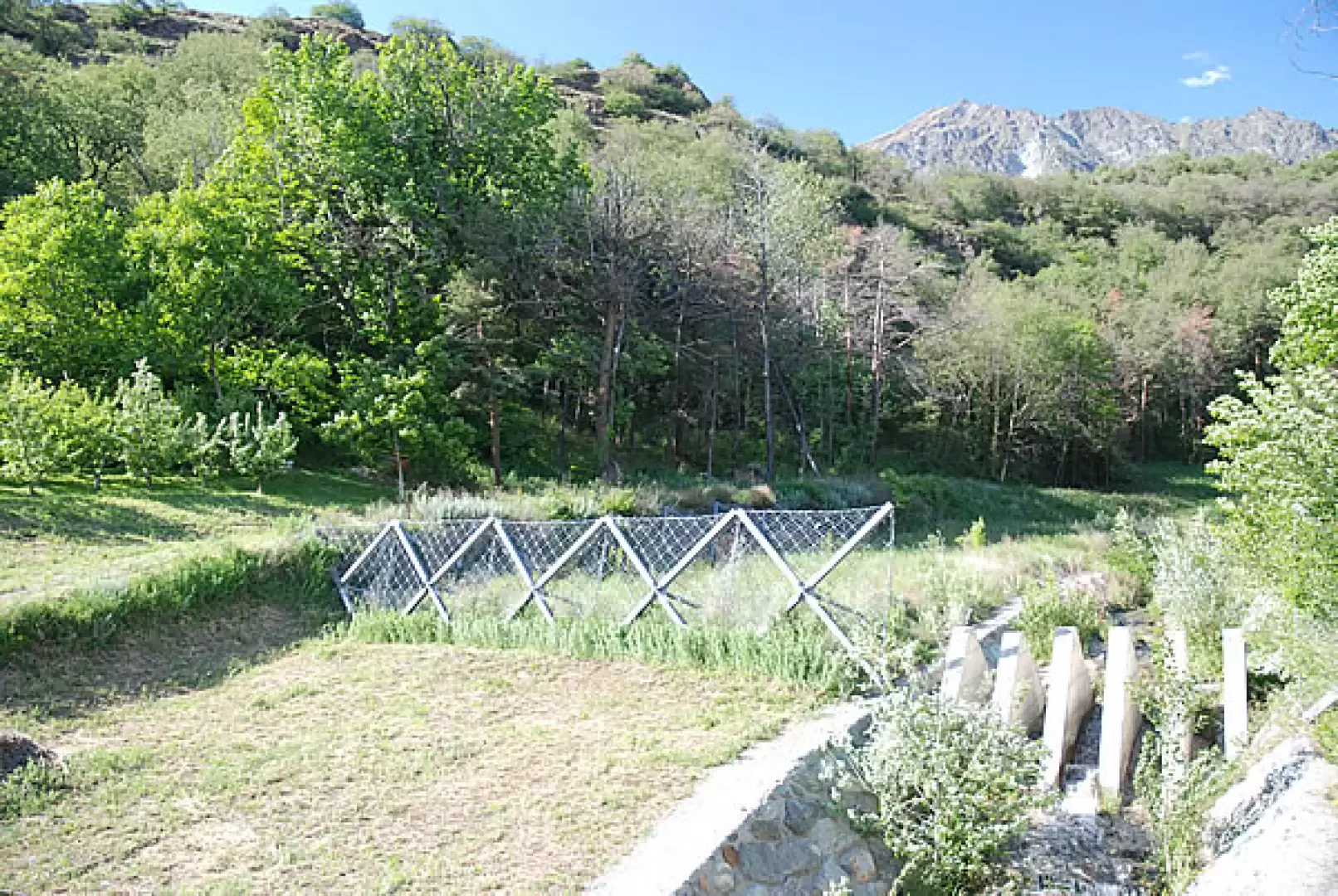
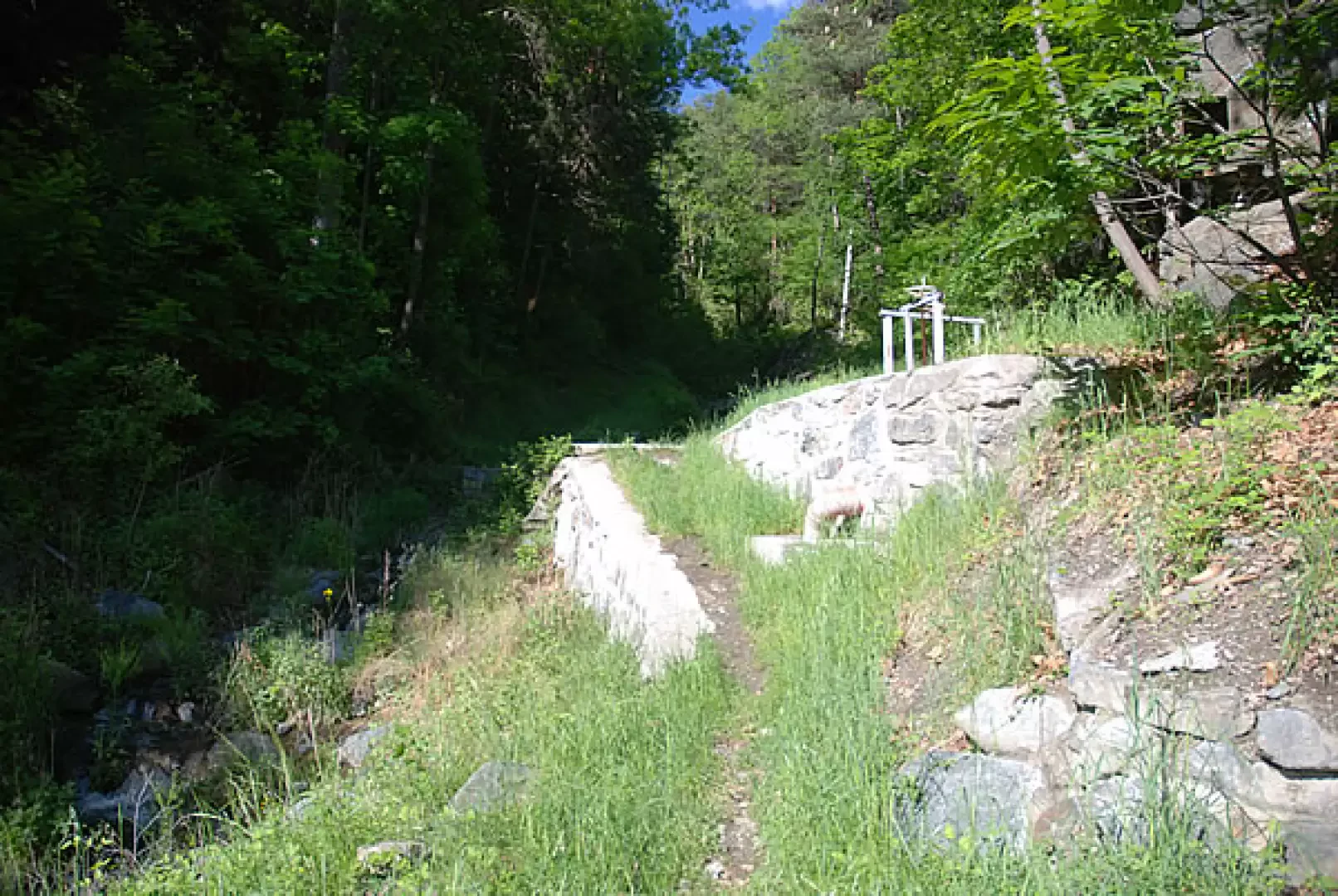
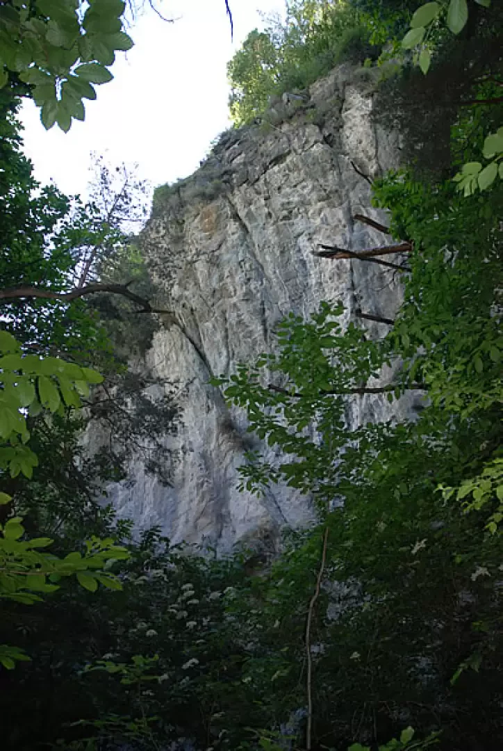
0h08' Having arrived in front of the chapel of the Holy Innocents, completed in 1954 with its peculiar "cobbled" columns, turn first right, then left along the tarmac road until reaching the bridge over the Cillian stream; here, following the signpost, turn right up an agricultural track that soon enters the oak and chestnut forest. In the first part of the ascent, one can catch a glimpse of the work to restore the torrent area following the flood of October 2000, which was particularly devastating in this area. We then continue into the forest as the track slowly descends its slope. Neglecting a small path on the right, you soon reach a water collection basin and, shortly afterwards, the bridge-guide that takes you to the orographic right of the valley. You now ascend the forest with a series of hairpin bends that take you to the foot of a rocky ridge: here are the Cillian crags, a series of climbing routes immersed in the forest. We continue, leaving the climbing routes on the left and, after a few more hairpin bends, the path comes out into the pastures before Moron. Slowly, Mont Zerbion and the characteristic destination appear before the hiker. Finally, you reach an agricultural track, follow it to the right until you come to the characteristic entrance gate of the church of Saint-Maurice (800 m, 0h45').💧 The return journey takes place on the same route as the ascent (0h30').
15.05.2007
Ho percorso, in discesa, questo itinerario. Splendida escursione pomeridiana in una giornata ventosa dalla luce eccezionale.
Come al solito, estremamente suggestiva la bellissima chiesetta di Saint-Maurice.
Il sentiero, 11, è in buone condizioni: un po' di erba alta nell'attraversamento dei pascoli sotto Moron.
Massimo


Comments (0)
Sign in to leave a comment