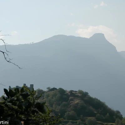
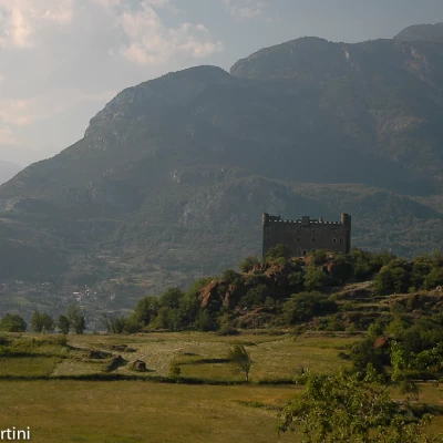
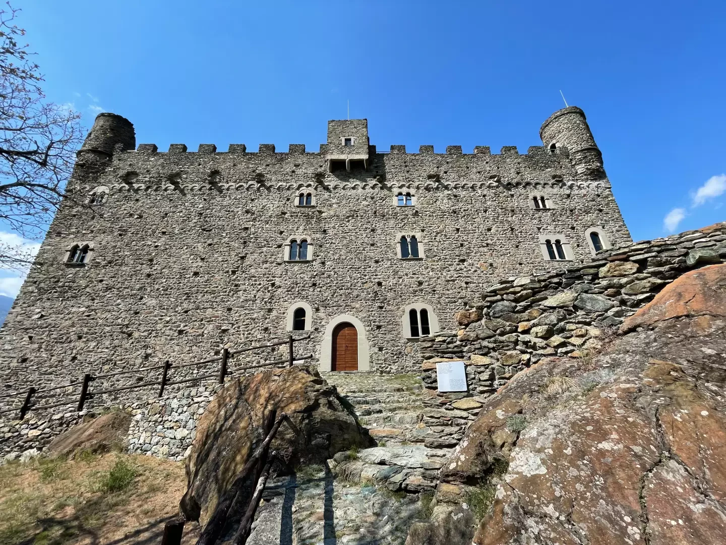
Ussel Castle, from Tenso
Access
From the di Châtillon motorway exit, turn right and follow the for 900m to join the . Continue on the state road for one kilometre before exiting at the second junction at the end of which you turn right and follow Via della Stazione for 1.4km until you reach the car park in front of the old Saint-Vincent railway station.
- How to get there with GMAPS
- How to get there with Apple Maps
Introduction
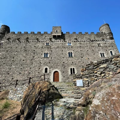
Short route along the course of the Dora Baltea river. The river is crossed on the characteristic Ponte delle Capre (Bridge of the Goats) and from here we climb up through an oak and chestnut forest to reach the village of Ussel and its well-known castle.
Description
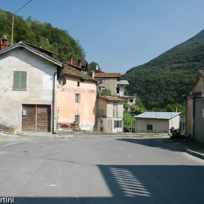
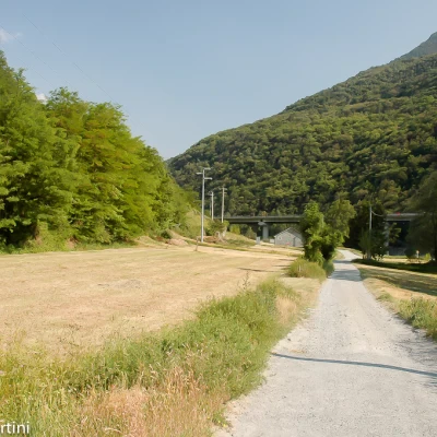
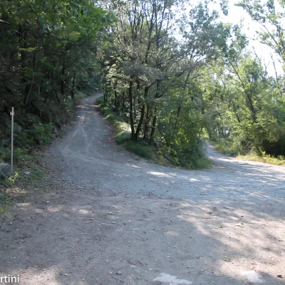
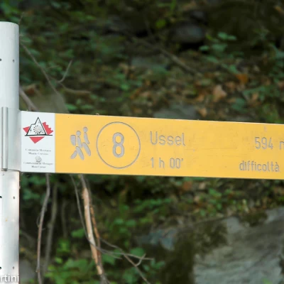
0h00' From the car park of the old railway station, follow the signposts and proceed in a south-easterly direction, pointing towards a house with a sundial. At the end of the clearing, take a small road that skirts the railway line for a short distance until you reach the subway that allows you to cross the tracks and go onto the pastures below. Follow the small road, now unpaved, heading towards the motorway viaduct. When you reach the obvious motorway pylons, proceed underneath them until you come to a bridge on the right; ignore the fork in the road (you will use it on your return journey) and continue straight on, crossing the section covered by the viaduct and beginning a very short climb until you come to the railway line, where you will find a new signpost.
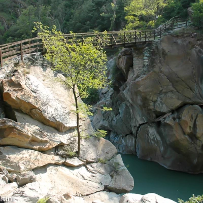
0h20' Turn right and descend briefly down the path, passing under the motorway viaduct again, until you come to the characteristic Ponte delle Capre (427m). Although cramped, the place is certainly suggestive: the bridge clings to a narrow gorge of the Dora Baltea created by the force of the waters over the millennia. Cross the bridge at its unusual angle and, once you reach the orographic right bank, you will come to another fork in the road: turn right, ignoring, on the left, the path that leads to Champ Steirou. Proceed to the right, following the signs for trail marker on a small road bordered by a wooden railing, which after about 300m joins the hairpin bend of the farm road leading to Champ Steirou, which you follow briefly uphill before turning onto the trail.
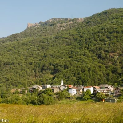
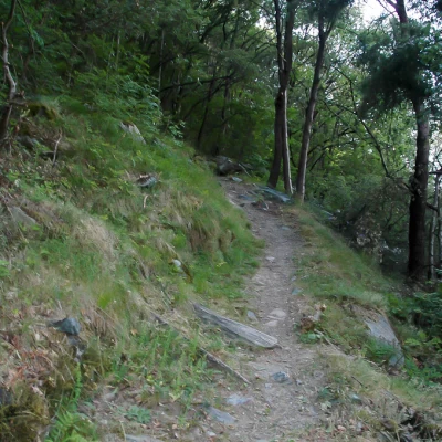
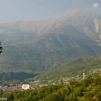
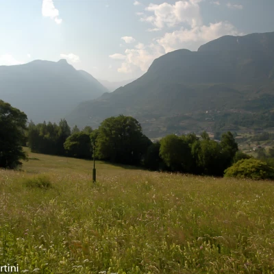
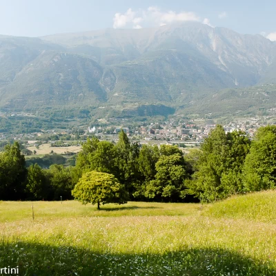
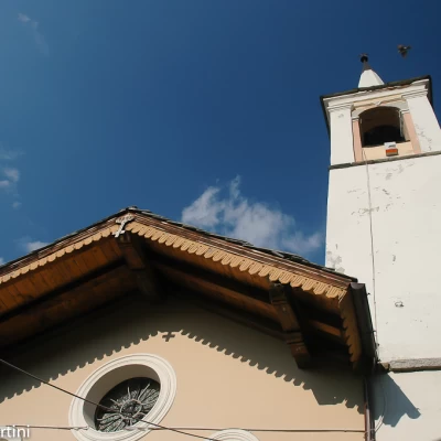
0h25' Take the beautiful trail that immediately climbs up through the chestnut and oak forest and then climbs up a couple of hairpin bends before flattening out and heading west. Every now and then the dense vegetation leaves some space to enjoy interesting views of Saint-Vincent and Mont Zerbion. A moderate ascent leads to the beautiful glades below Ussel, the path, at times accompanied by fine dry-stone walls, leaves the forest and skirts some fine forage meadows before reentering the forest again. The path turns into a small agricultural track while the crenellations of the not too distant Ussel Castle can be glimpsed from the forest. Then proceed along a small road that, after a few hundred metres, joins the communal road to Bellecombe. Turn right and walk a short distance uphill until reaching the village of Ussel (594m, 💧) with its characteristic chapel dedicated to Saint Roch (built in 1696).
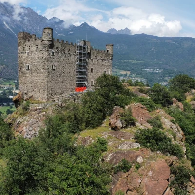
1h00' Follow the municipal road slightly downhill until you come to the crossroads for the castle: turn right and follow the short access path that in a few minutes leads to the foot of the magnificent manor house 1h15'.
The return journey is along the same route as on the outward journey 0h45'.
Galleria fotografica
We have been there
Castello di Ussel
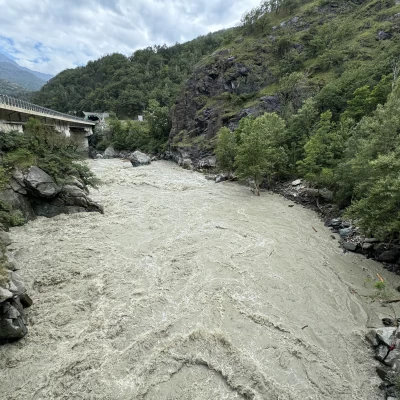
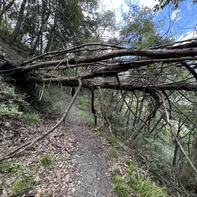
Escursione pomeridiana con Sabrina con partenza dal centro di Saint-Vincent. La Dora Baltea carichissima dopo la terribile giornata di ieri. Qualche albero sul sentiero.
Giornata afosa con nuvolosità variabile.
