
Edited by:
Massimo Martini
Saturday 06 June 2026

Edited by:
Massimo Martini
Leave the motorway junction at Nus and turn left onto the main road. After 850 metres, turn right at the traffic lights, following the signs for the of Saint-Barthélemy and, just before the historic centre of Nus, turn left. Drive up the regional road, passing the villages of Petit-Fénis and Blavy. After 14 km, you will come to a fork in the road at a bend: turn left and continue towards Lignan. Pass the village of Issologne and reach Lignan after 17 km. At the village square, turn left to ascend the last stretch of road. Pass through the villages of Saquignod, Vénoz and Crét before reaching a large free car park 🅿️, located in front of the "Porliod" picnic area.
🕒Travel time: 33 minutes
📏 Distance: 21.50 km
📍 How to get there with Google Maps
📍 How to get there with Apple Maps
The directions provided were verified on the date of the route survey. Before departure, it is advisable to check for any changes to the route. For up-to-date and detailed directions, we recommend the use of Google Maps or Apple Maps.
.The excursion to the Luca Reboulaz bivouac winds its way along the Saint-Barthélemy valley, following farm tracks and paths through a variety of environments: alpine villages, larch forests, still active alpine pastures and high-altitude meadows. The route is long but never technical, and allows a gradual immersion in a little-used side valley, where the landscape gradually opens up to the scree and the hanging plateaus around Lake Luseney.
The destination, located on a panoramic knoll at 2574 metres, offers a close-up view of the Becca di Luseney and, on a clear day, an evocative reflection of its silhouette in the waters of the lake below. The itinerary, which also crosses the route of Alta Via 1, lends itself well to being tackled at a leisurely pace, perhaps with an intermediate stop at Rifugio Magià or at one of the numerous alpine pastures crossed.
An excursion that combines the charm of the great outdoors with the cosy atmosphere of high altitude bivouacs, without requiring any particular technical difficulties but inviting you to slowly discover one of the quietest corners of the Valle d'Aosta.
0h00' 0.00km From the car park, descend along the path until reaching the village of Porliod (1,882m). After a short climb, you reach the chapel dedicated to Saint-Pantaléon, near which the tarmac road ends. Continue on a moderate ascent along the dirt track, which enters a small forest of larch trees (Larix decidua). Cross the Torrent de Chavalary impluvium and, once past the stream, reach the Larset Dèsot mountain pasture (1,893m). A little further on, you will come to a marker post and the turnoff for Praz .
0h20' 1.54km Continue on the dirt track following the undulating profile of the slope and continue with a slight ascent, leading to the group of hamlets of Nouva (1,955m). From here, the little road flattens out before descending gently to the picturesque clearing of Champcombre (1,932m), where there is a mountain pasture and a few huts.
0h30' 3.05km At the fork, keep left and continue along the dirt track, now flat, that describes a wide curve to the right, entering the upper part of the Vallon de Saint-Barthélemy. The route enters a charming fir forest and, having passed the Vallorsière pastures (located below the road), reaches the Champlaisant cliff. A little further on, on the right, a small road branches off that leads to the mountain pastures of the same name (1,900m).
1h20' 5.08km Keep to the main road, ignoring the small road that descends towards Champlaisant, as the picturesque pastures begin to come into view. After a few minutes, you reach a characteristic aqueduct. Cross the Torrent de Saint-Barthélemy over a small concrete bridge near the pastures of Les Vayoux. From here, move to the orographic left side of the valley and, in a few minutes, reach the Magià hut (2,007m).
1h50' 7.10km After a few hundred metres, walk along the Ollière alpine pasture (2013m) near which the path for the Cima Bianca starts.
1h55' 7.10km Continue, leaving the Praterier alpine pasture (2060m) to the right, and leave the easy road for the path that begins to climb the final section of the valley. We cross an initial fairly flat section between a few sparse larch trees (Larix decidua) and then begin to climb the final section of the valley, culminating in the Becca des Crottes, on its orographic left between pastures and scree. Having passed a scree slope with whitish debris, the trail begins its final ascent; a small track to the right is overlooked and the ruins of the alpine pastures of Les Crottes (2,389m) are reached.
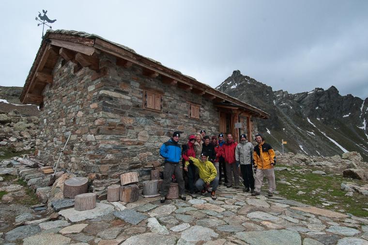
2h30' 9.81km Shortly after the alpine pastures, the trail meets the Alta Via 1 trail: continue by turning left to climb up a hillock above which the bivouac is located. The trail follows the outflow of Lake Luseney and, in a series of hairpin bends, climbs about 200 m in altitude. At the end of the ascent, the trail crosses a plateau and finally reaches the Luca Reboulaz bivouac (2,574m, 3h00').
The return is along the same route as the outward journey, retracing the farm road until reaching Champcombre, Porliod and the car park, the starting point of the itinerary (1,890m) 1h35' 7.10km .
Edited by:
Massimo Martini
Edited by:
Massimo Martini
Sign in to leave a comment
Comments (0)
Sign in to leave a comment