From the unable to parse motorway exit. From Courmayeur (1224 m), turn towards Val Veny (signposted on site) until you reach La Visaille (1659 m). Park near the barrier that prohibits unauthorised vehicles.
.
Introduction
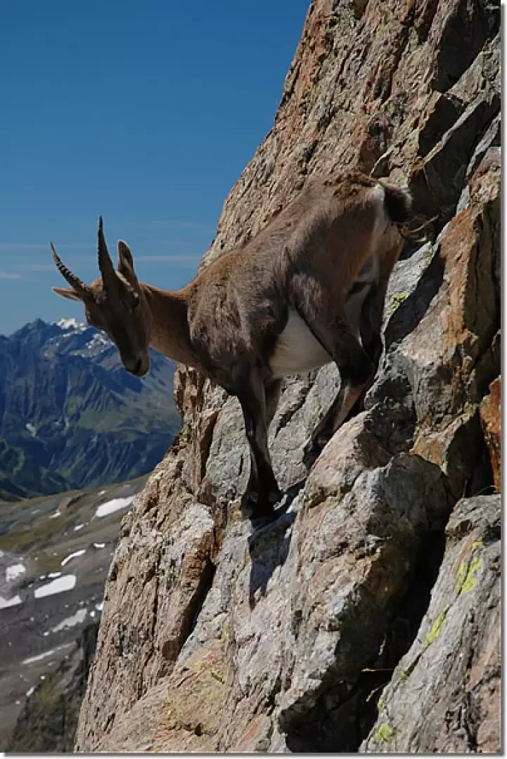
A hike for mountain purists in an austere but highly scenic environment. The arrival at the bivouac is rewarded by the imposing panorama and the presence of ibex that are often not frightened by human presence.
Description
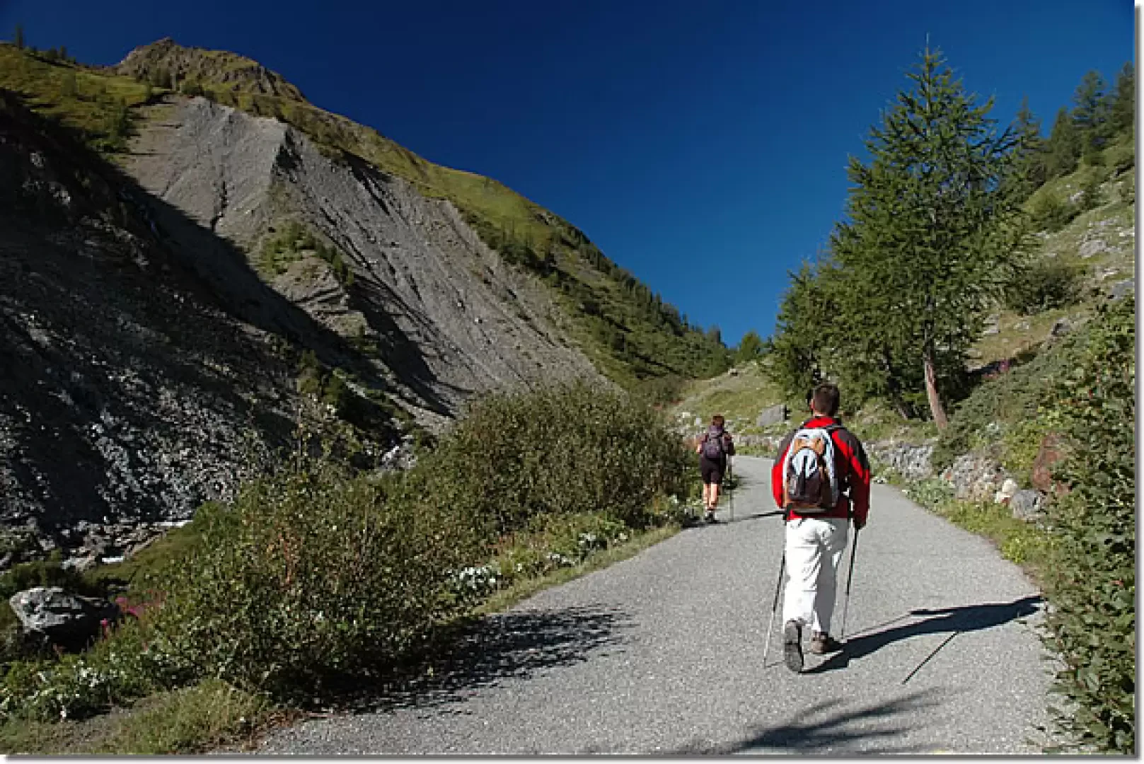
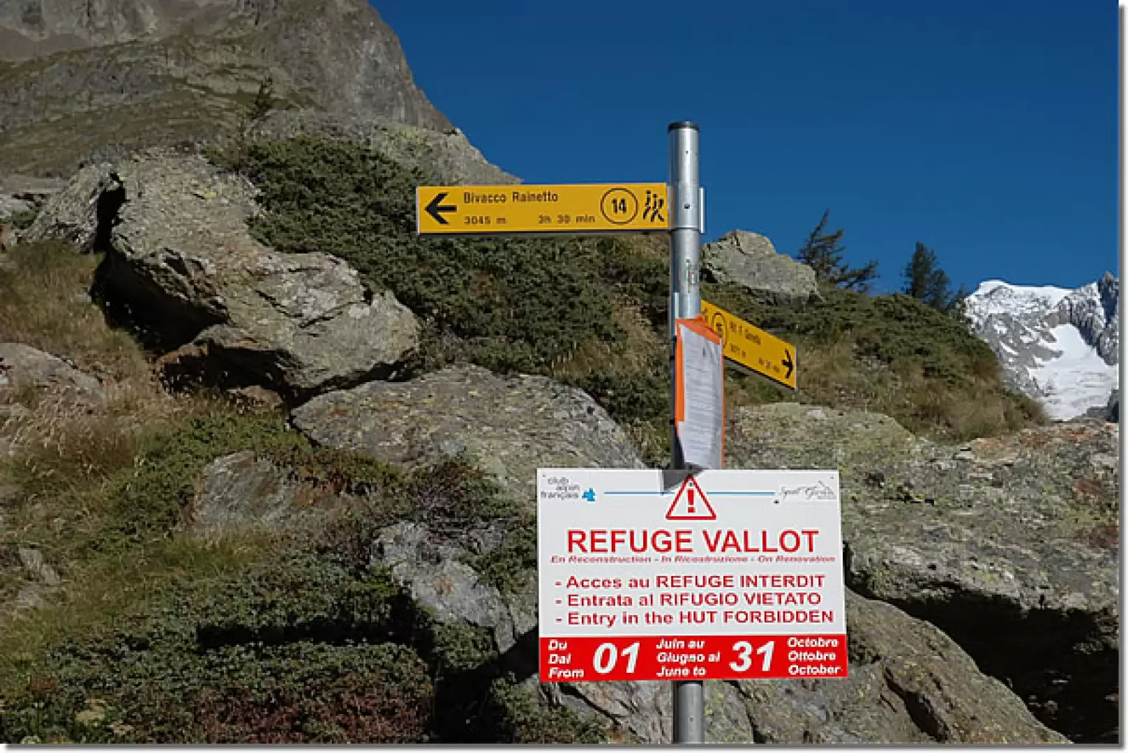
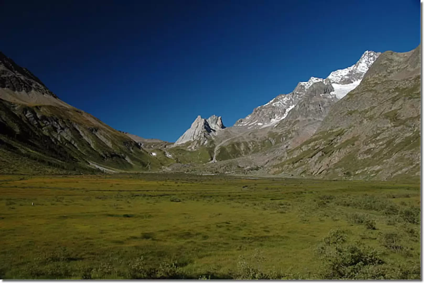
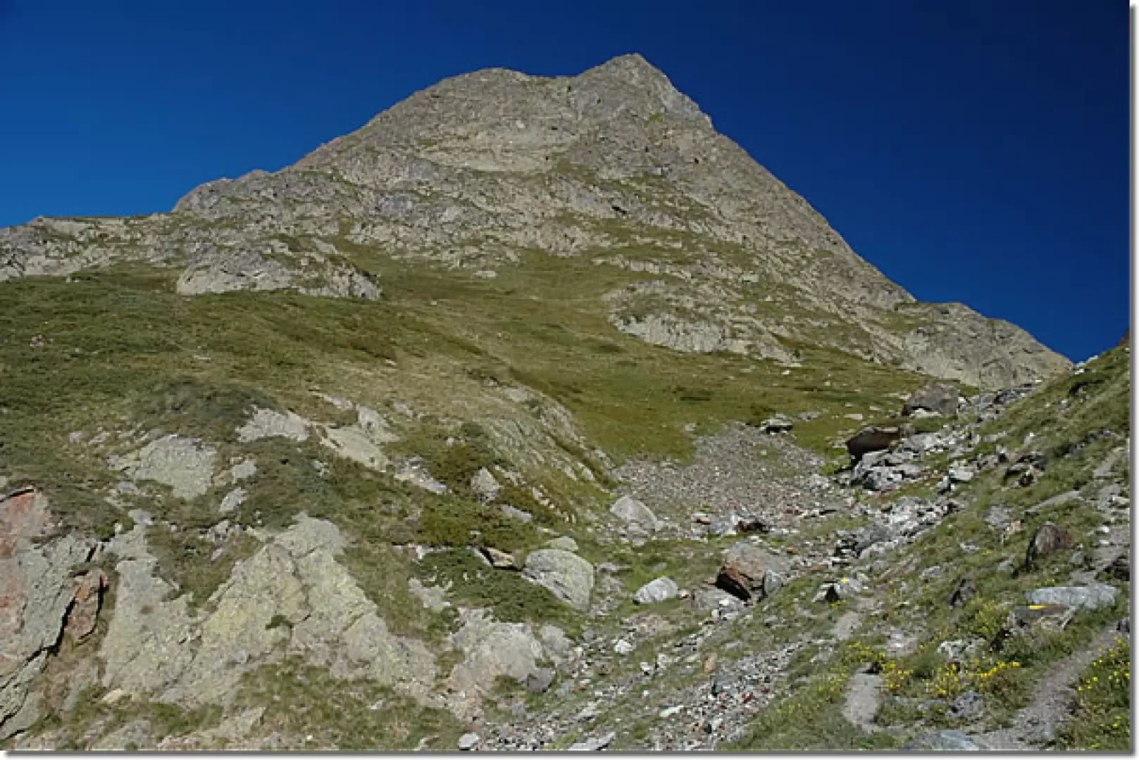
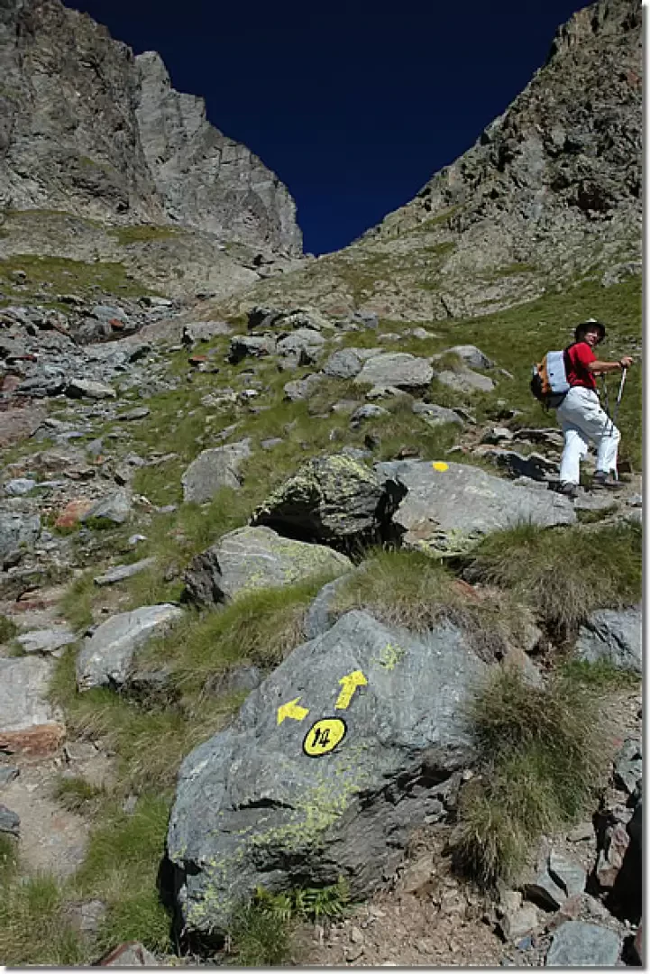
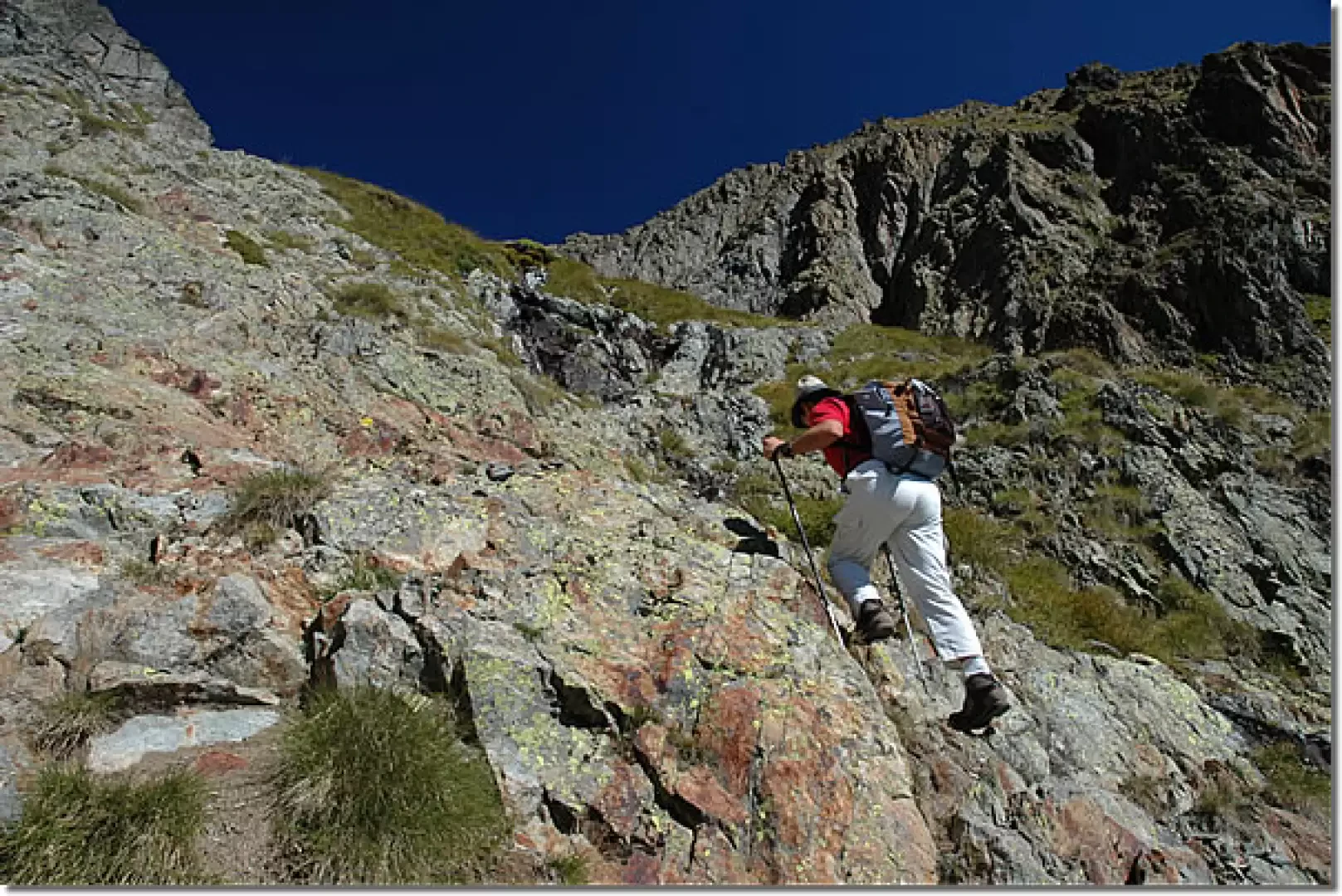
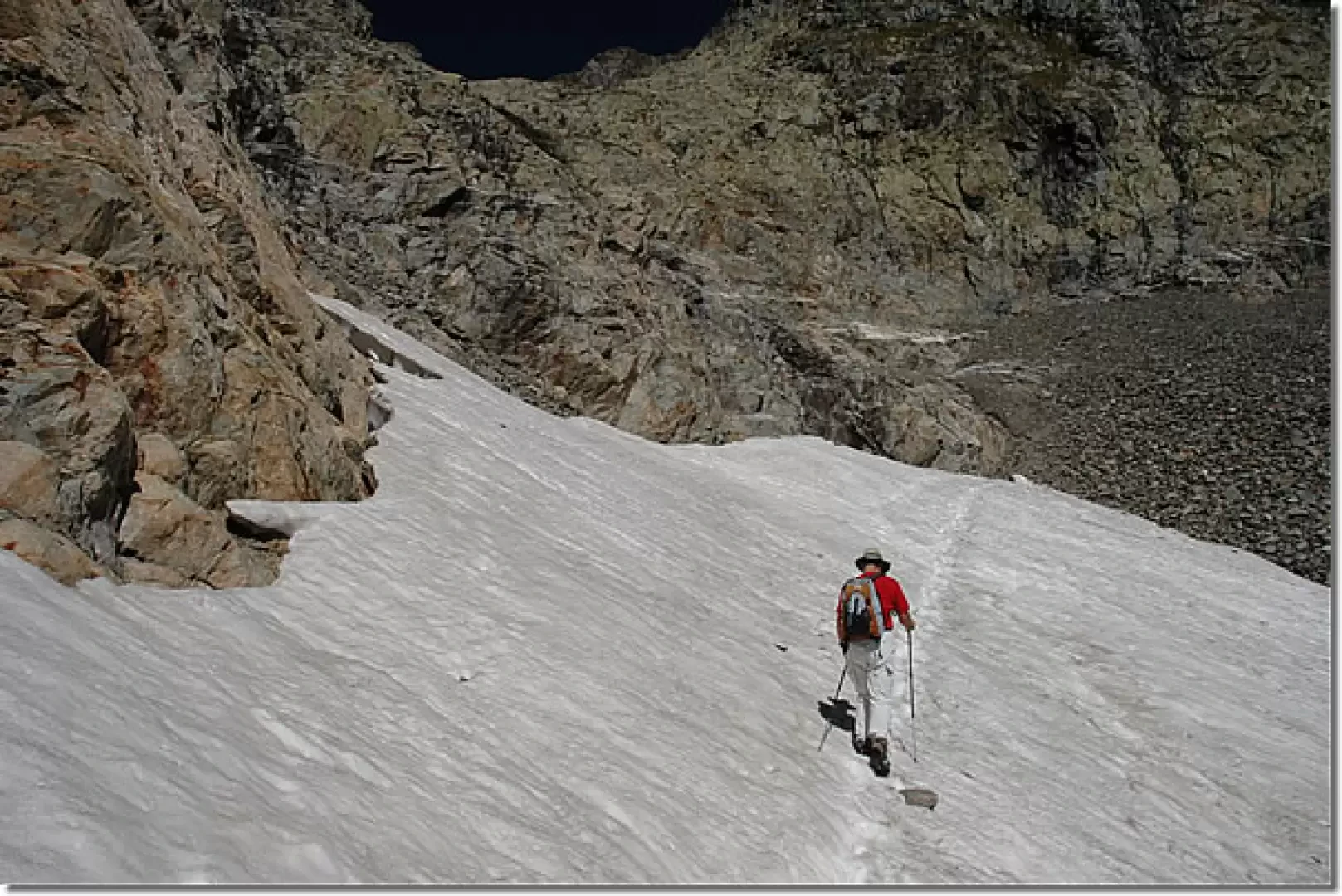
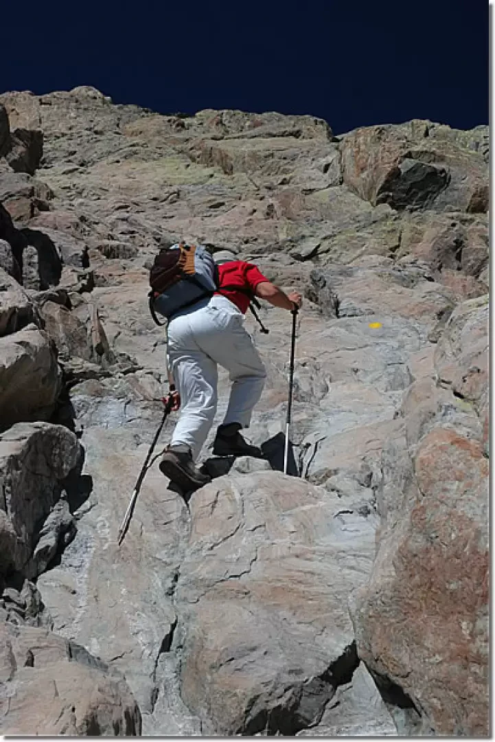
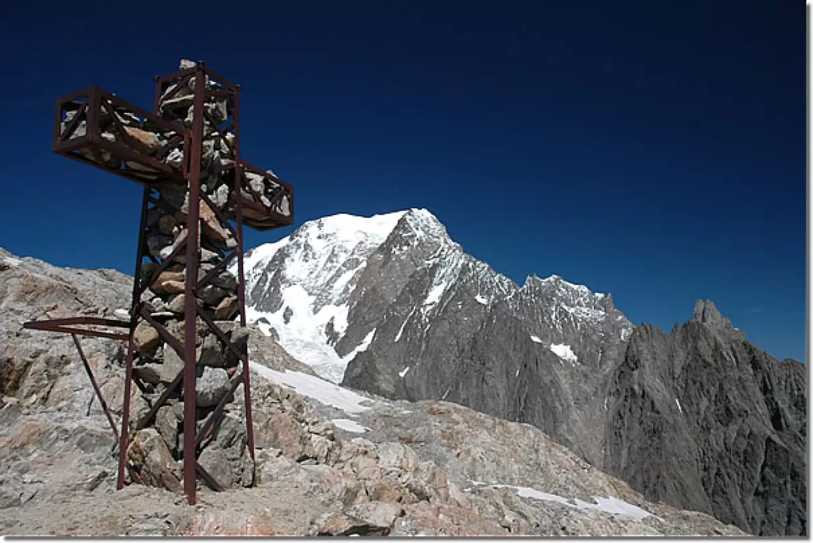
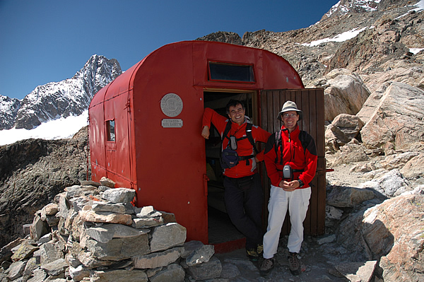
Leaving the car behind, we set off past the bar that effectively closes the road and proceed along it, passing a couple of hairpin bends (there are shortcuts that cut across them). Slowly gain height by following the road that skirts the Doire du Val Veny; after encountering a white rocky band of limestone origin on the left, the road makes a small bend to overcome a landslide. Continue along the little road until you reach Lake Combal (1959 m, 0h45'). Just before the little bridge, turn right and walk briefly along the dirt track until you reach the Bar Combal: here you will come across a signpost with directions to the bivouac. Take an easy path that with slight ups and downs skirts the imposing moraine of the Miage glacier. Along this stretch, you can appreciate the beautiful panorama of the upper Val Veny with Lake Combal in the foreground and the peculiar rock formations of the Pyramides Calcaires in the background. At the end of the section along the moraine (1983 m, 1h00'), the trail turns left and begins to climb the steep slopes descending from Mont Tseuc. We leave the tall vegetation behind and follow the path between juniper thickets, alpine grassland alternating with sections with simple rocks; we proceed diagonally to the base of the valley that wedges between the Aiguille de Combal and Mont Tseuc. At the end of the diagonal (2210 m, 1h30'), the trail begins to decisively ascend the valley until it meets the fork with another route to the bivouac (2381 m, 2h00'): continue to the right and, shortly afterwards, cross a placid stream of meltwater. We now proceed on the orographic right of the stream, taking us to the foot of the walls of the Aiguille de Combal, crossing a few sections with small rocks: simple passages not to be underestimated. The last vegetative traces are left behind, entering a first basin of glacial formation where only a small snowfield now remains. Shortly after the snowfield, go over a rocky crag, following the yellow marks that indicate going over a ledge and heading to the left. The environment becomes harsh and suggestive, always offering the awareness that we are never alone: ibexes watch our slow pace. Once past the crag, we continue on scree and scree, heading left to climb up a characteristic notch, at the end of which we reach a collar between the Aiguille de Combal and the rocky prominence on which the bivouac is located (2815 m, 3h15'). You continue to climb, following the yellow marks and some sparse cairns that allow you to take the path again, which alternates with long rocky sections, sometimes requiring the use of your hands, until you reach a short flat break from which you can catch a glimpse of the bivouac. The last stretch is still rocky, but the view of Mont Blanc and the visual contact with the red bivouac make it seem really short; having passed the last rocky crag, we finally reach the Rainetto Bivouac (3047 m, 4h00') and its characteristic metal cross filled with stones. Needless to say, from up here the panorama is exceptional: in front of us the whole of the Valle d'Aosta, some high peaks of Savoie; behind us is Petit Mont Blanc and Mont Blanc in all its splendour. The descent is along the same route as the ascent (3h00').
Splendida gita in recondido angolo del Massiccio del Monte Bianco. Escursione faticosa mitigata dalla piacevole compagnia di Gian Mario. Giornata senza nuvole e temperatura gradevole. Pochi incontri con altri escursionisti. Al bivacco abbiamo avvicinato dei piccoli stambecchi.


Comments (0)
Sign in to leave a comment