Aiguille d'Artanavaz, from Planaval via Ecoules
Access
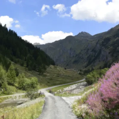
Leave the motorway and, after 500m, leave the motorway junction, turning right onto the regional road for the Cogne valley. After 450m at the roundabout, take the second exit and enter the national road to be followed for 18.4 kilometres, passing through and skirting the villages of Saint-Pierre, Villeneuve, Arvier, Avise and Derby before reaching a roundabout. Take the first exit and take Via Corrado Gex following the signs for the centre of La Salle. After 350m turn left onto Via dei Romani and, shortly after at the fork, turn right onto Via Col Serena and follow the signs for Chaffieron. Go up the municipal road passing through the villages of Chaffieron, Chateau, Vilarisson, Remondey, Cheverel, Morge and, after about 9.3km, you will reach the village of Planaval. Once in front of the Jolie Bergère hut, descend a small asphalted road to the small bridge over the Torrent Grand Eau, cross the bridge and turn right to climb a short stretch of dirt road until you come to a small grassy clearing used as a car park 🅿️ near the stream.
[0h38'] - [30.6km]
How to get there with GMaps
How to get there with Apple Maps
Description
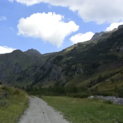
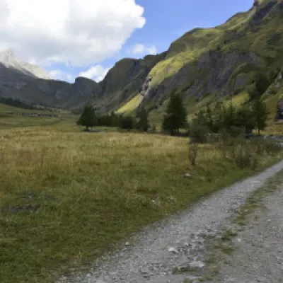
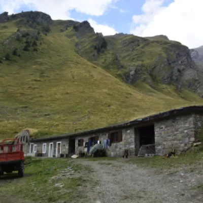
From the alpine pasture, follow the tracks and cairns that lead to a grassy slope on the right and a scree slope on the left.
Leave the grassy slope and as soon as possible cross over to the scree slope where the cairns that lead to the upper comba can be found.
Continue northwards, passing grassy bumps from the last of which the remaining path can be seen.
Lower on the right is the Bonalè lake.
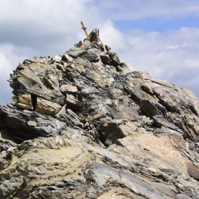
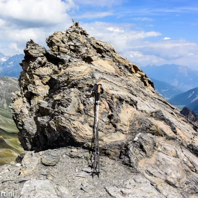
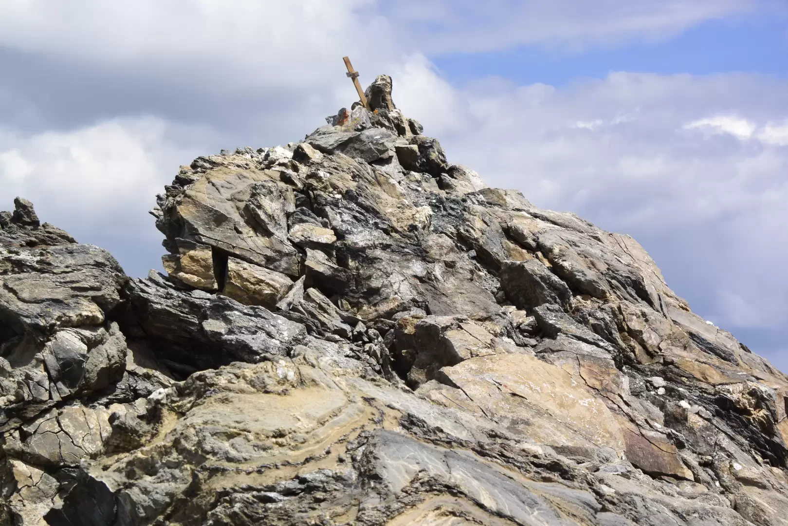
Continue towards the summit, following the cairns that lead to a ridge on which the tracks are more evident, until the very clear track (which can be seen from afar) that soon leads to the airy summit.
At a stone's throw from Mont Blanc and the Grandes Jorasses, the view sweeps from Combin to Velan, the Matterhorn, and Rosa.
To the south, the north of Gran Paradiso, Ciarforon and the mountains of the southern valleys.
Attend for four to five hours.
Punti di Interesse
Collections
Galleria fotografica
We have been there
Aiguille d'Artanavaz, anello da Planaval
Prima volta sull'Aiguille d'Artanavaz seguendo un bel percorso ad anello con partenza da Planaval con digressione finale al Col Serena.
