Leave the Châtillon motorway junction [A5], turn left and continue for approximately 300 metres until you reach the roundabout. At the roundabout, take the third exit and turn onto Via Emile Chanoux. Follow Via Emile Chanoux for 600 metres, passing through the historic centre of Châtillon, and turn slightly right onto Via Menabreaz. Continue for 450 metres until you reach the roundabout with the “Matterhorn” monument in the centre, and take the second exit to join the regional road towards Valtournenche.
Continue along the for about 8 kilometres, passing through the hamlets of Champlong and Chessin. Once you reach Antey-Saint-André, near the Hotel Filey, turn left onto the regional road towards Torgnon. Follow the regional road for about 6 kilometres until you reach the main town of Mognod. Continue straight on, following the signs for the ski lifts. Carry on straight ahead, following the signs for Septumian. Continue along the small local road for about 4 kilometres, passing through the villages of Chatrian, Pecou and Septumian before reaching thePlan Porion picnic area: carry on past the area until you reach the Gorzà chairlift departure point where, opposite the Montagnard restaurant, there is a large free car park 🅿️.
0h31' - 19.6km How to get there with GMaps How to get there using Apple Maps
The directions provided have been carefully checked on the date the route was mapped. However, we strongly advise you to check for any changes that may have occurred since then, particularly regarding the route to the starting point. Before setting off, it is advisable to consult up-to-date navigation tools to obtain precise and current directions. We recommend using sat-nav apps, such as Google Maps or Apple Maps, to ensure maximum accuracy and safety on your journey.
Introduction
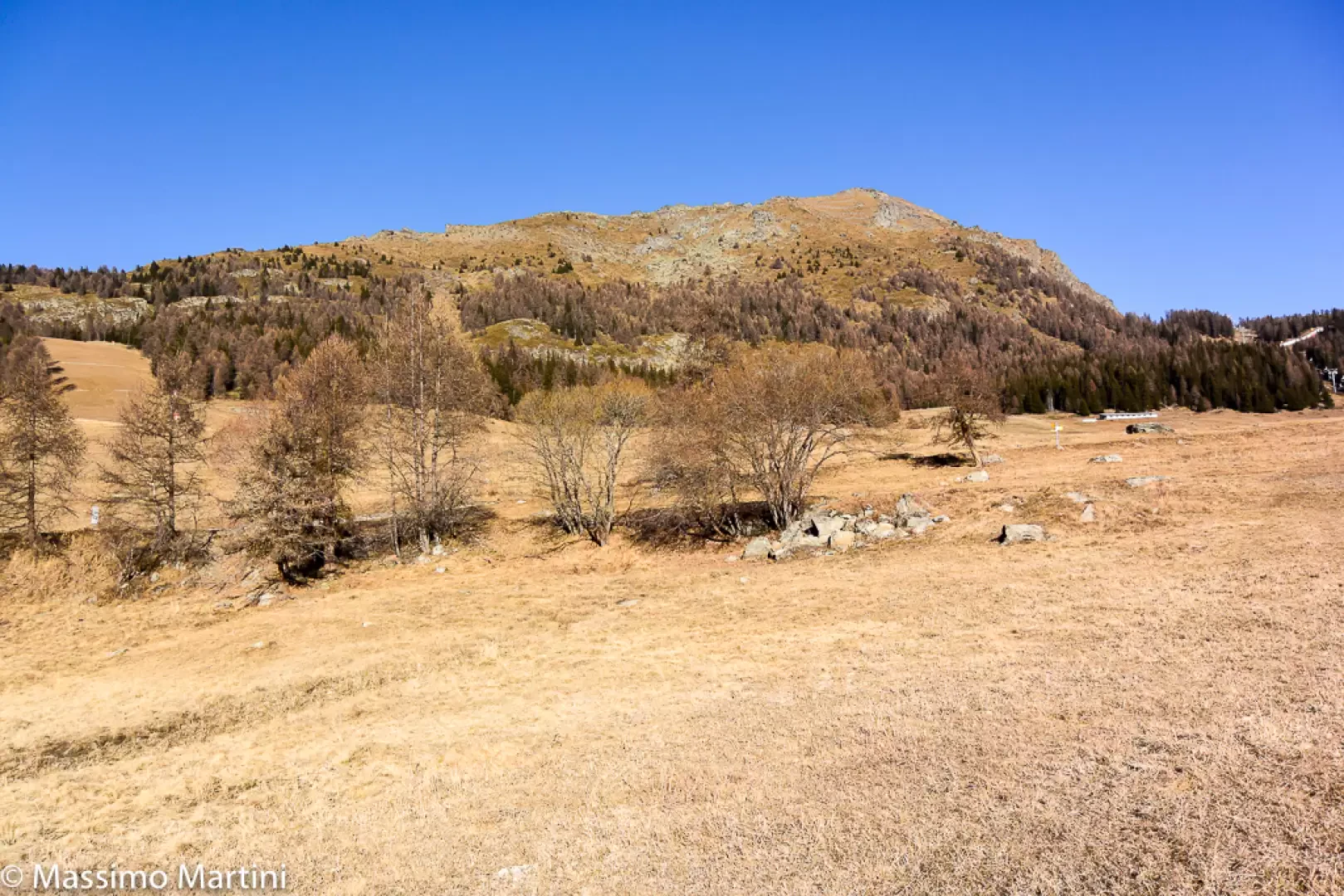
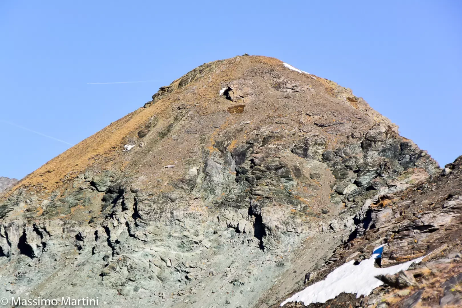
The secondary summit of Mont Méabé offers a superb panoramic view over the central Valtournenche valley. The route is relatively short and presents no particular technical difficulties, apart from a few slightly steep sections. The ascent follows the south-eastern slope, mainly along the ridge, before joining the crest in the final section. The summit of Mont Méabé cannot be reached on foot from the secondary summit, as it is separated by a wide rocky saddle.
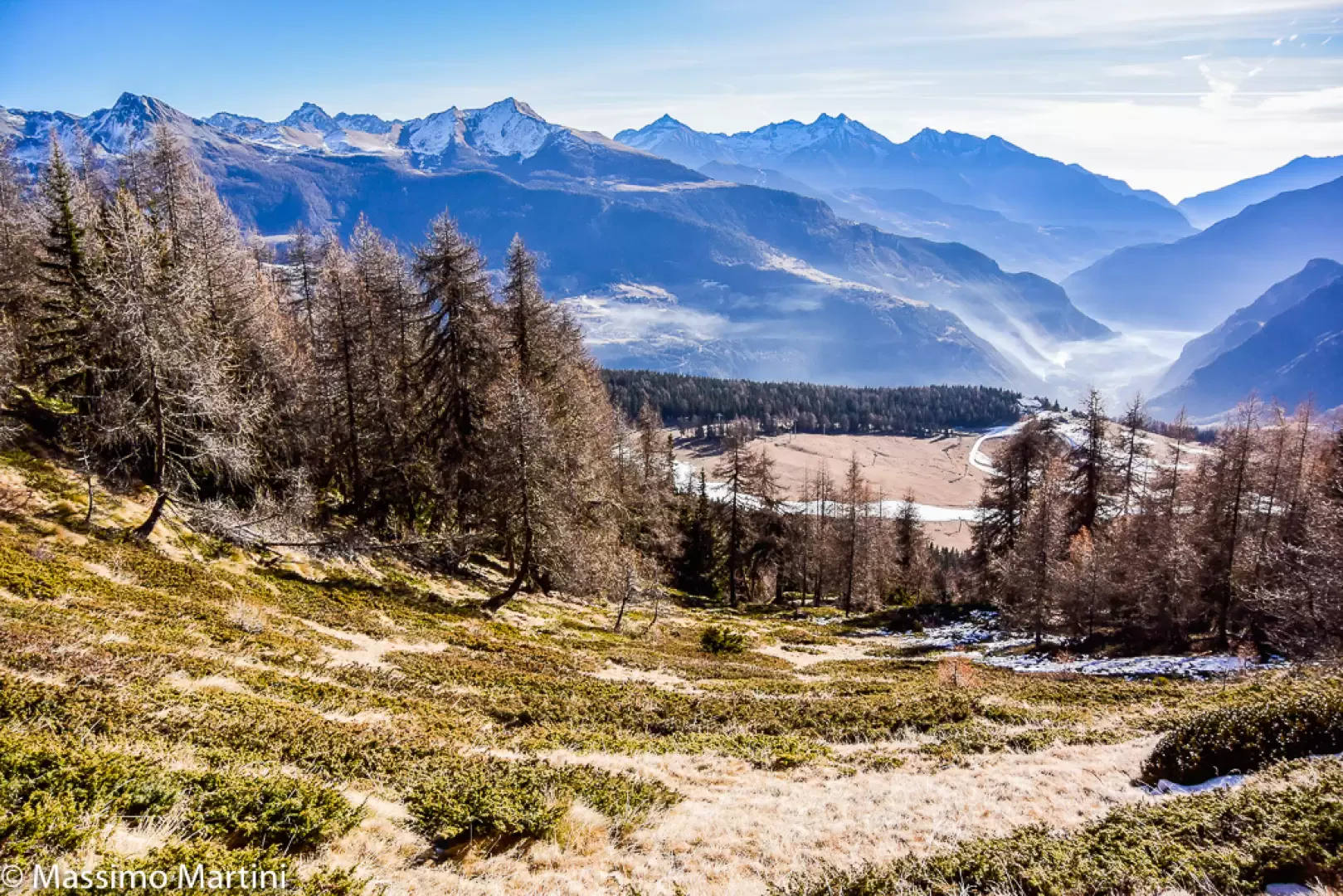
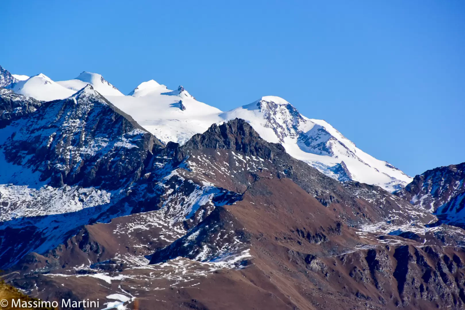
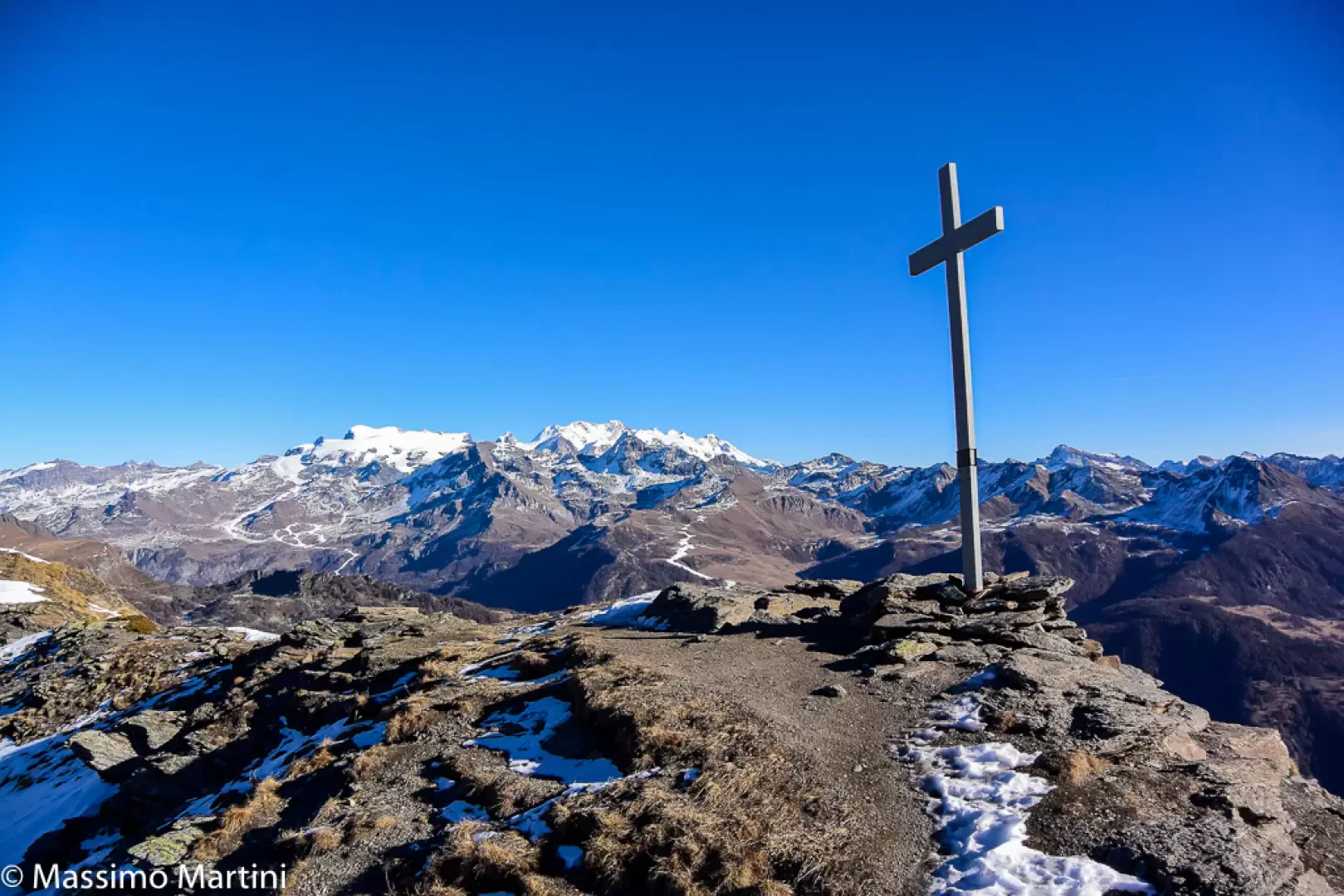
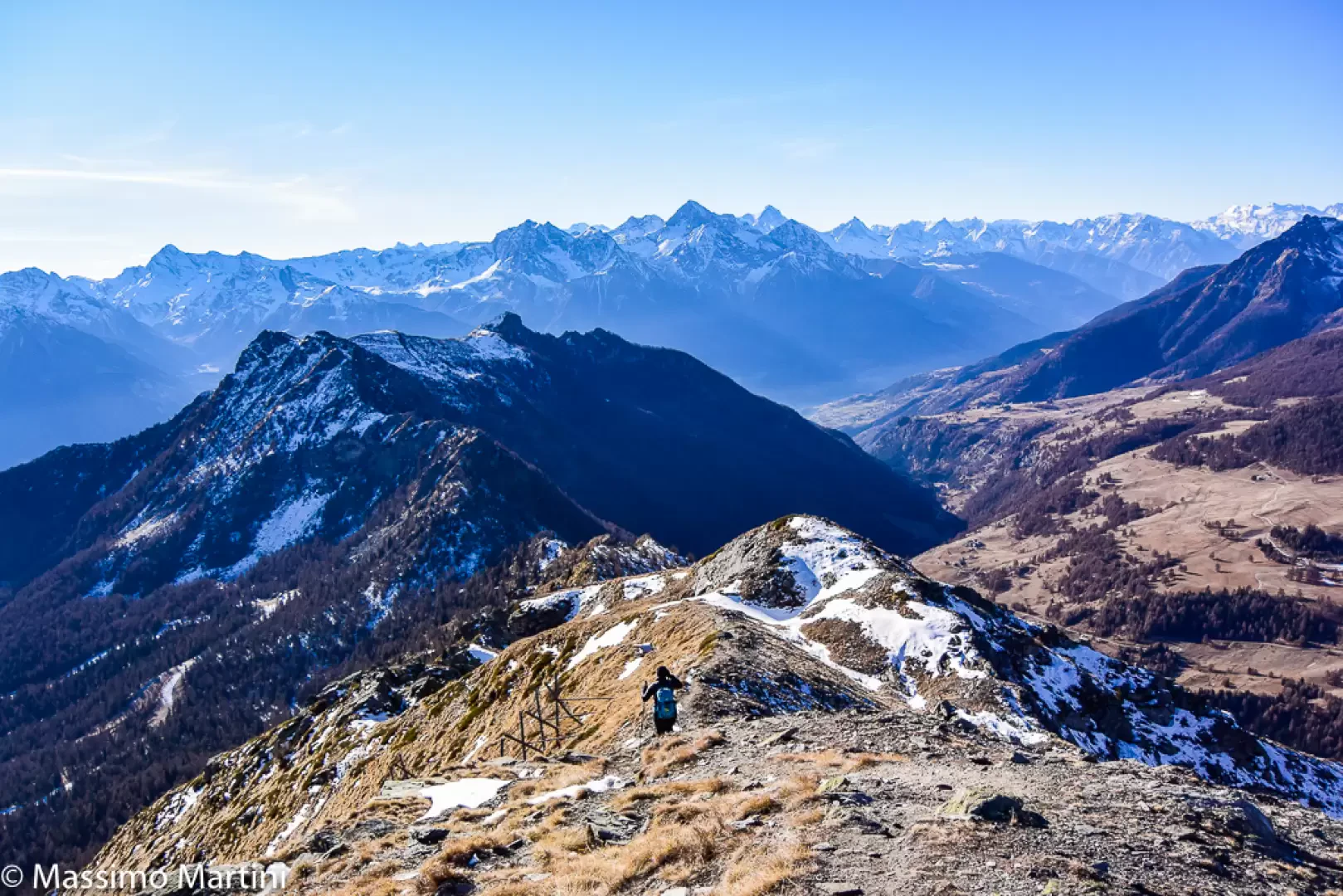
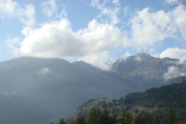
Situated on the watershed ridge that descends from Cima Bianca di Torgnon to Cima Longhede, theMont Méabé’s secondary summit offers a superb view over the Vallon de Saint-Barthélemy, from Mont Faroma to Cima di Livournea, and over the Valtournenche along its entire watershed with the Val d’Ayas. In the background stand the glacier-capped peaks of the Breithorn-Lyskamm range and a large proportion of the four-thousand-metre peaks of the Monte Rosa Alps.
Description
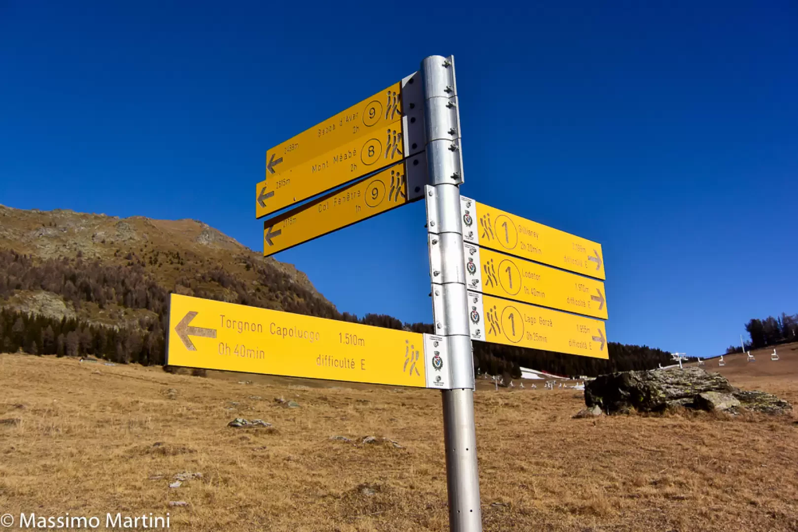
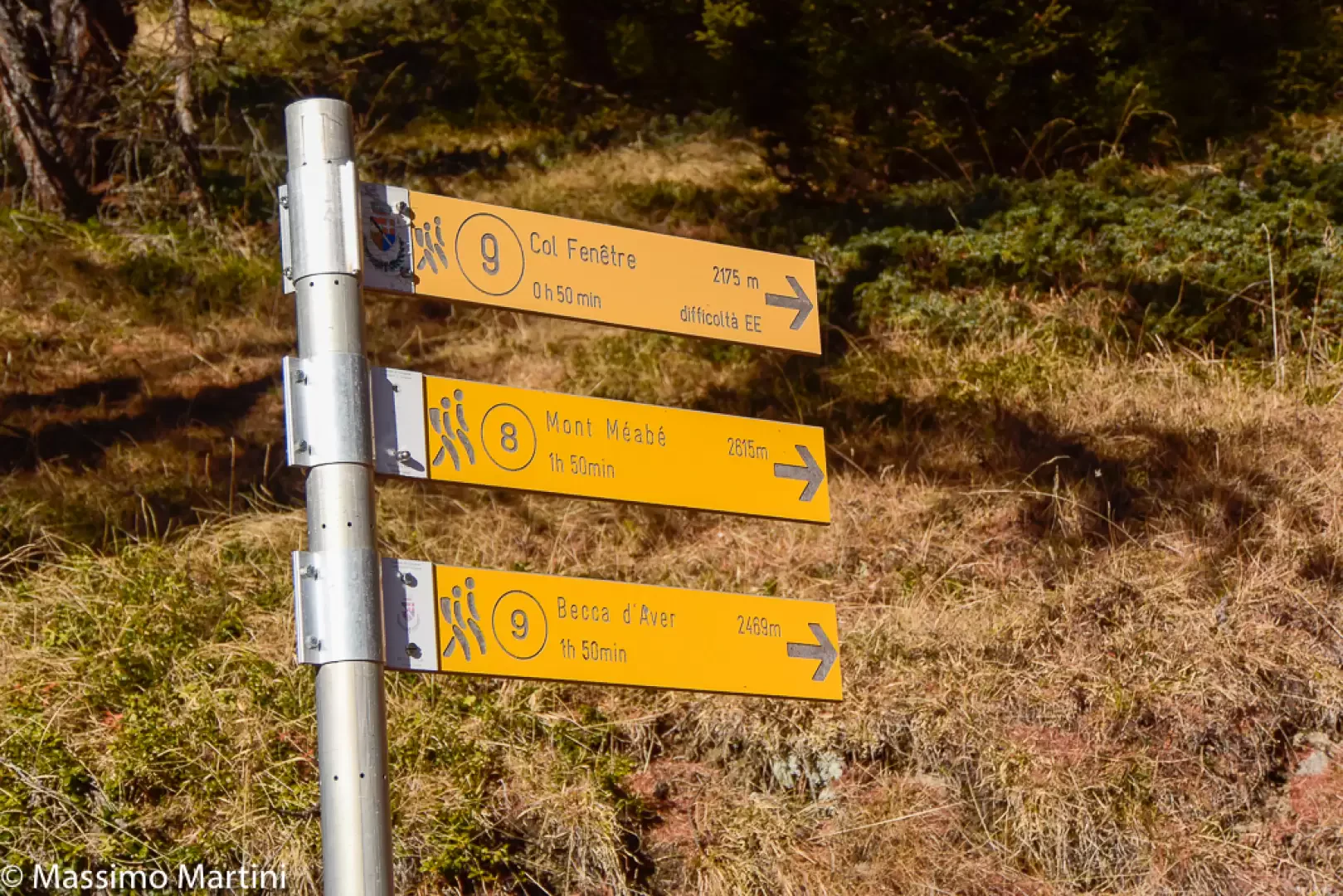
0h00' Walk back down the municipal track for about 60 metres until you reach the signpost indicating the route to your destination (trail (8), 2h00’).
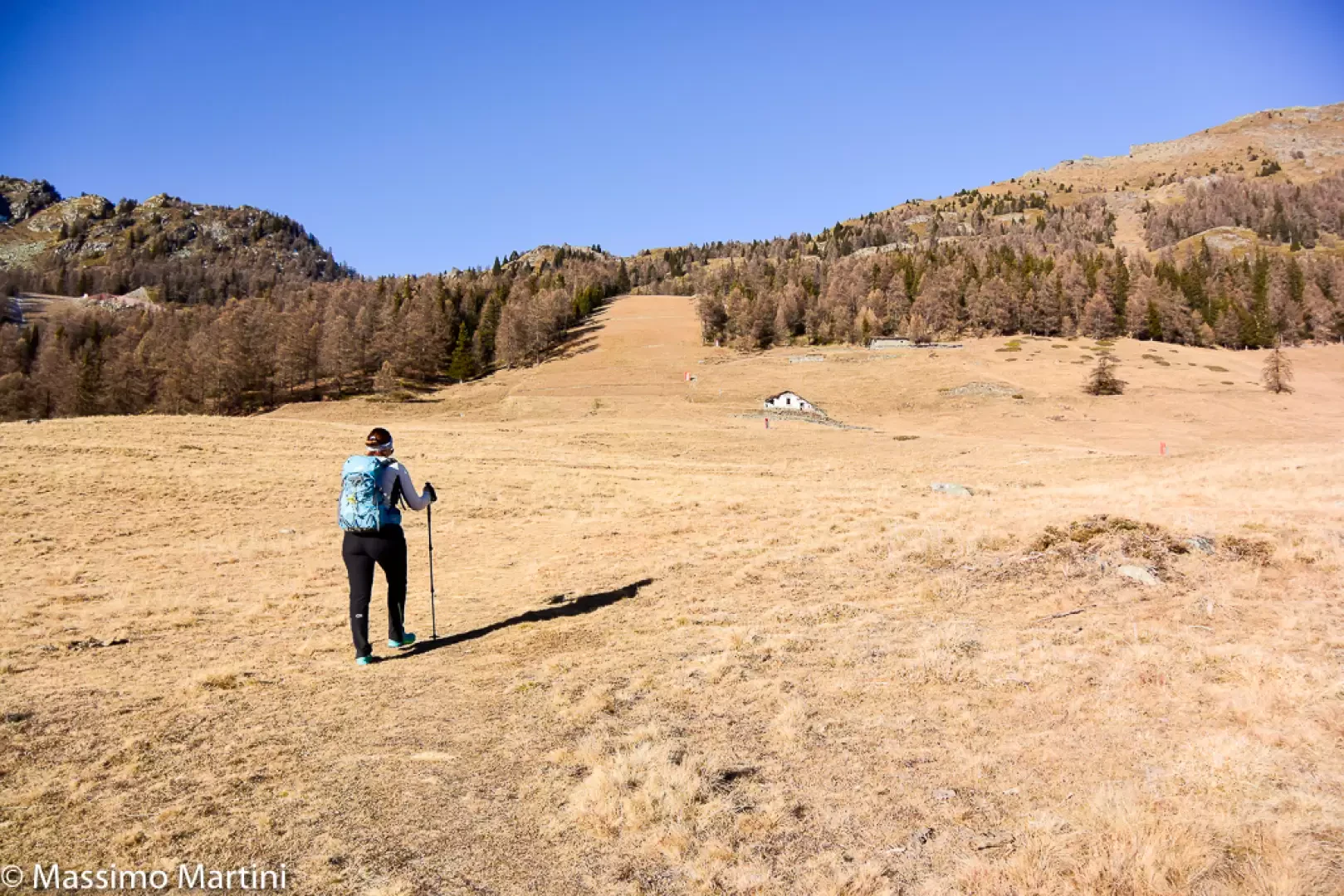
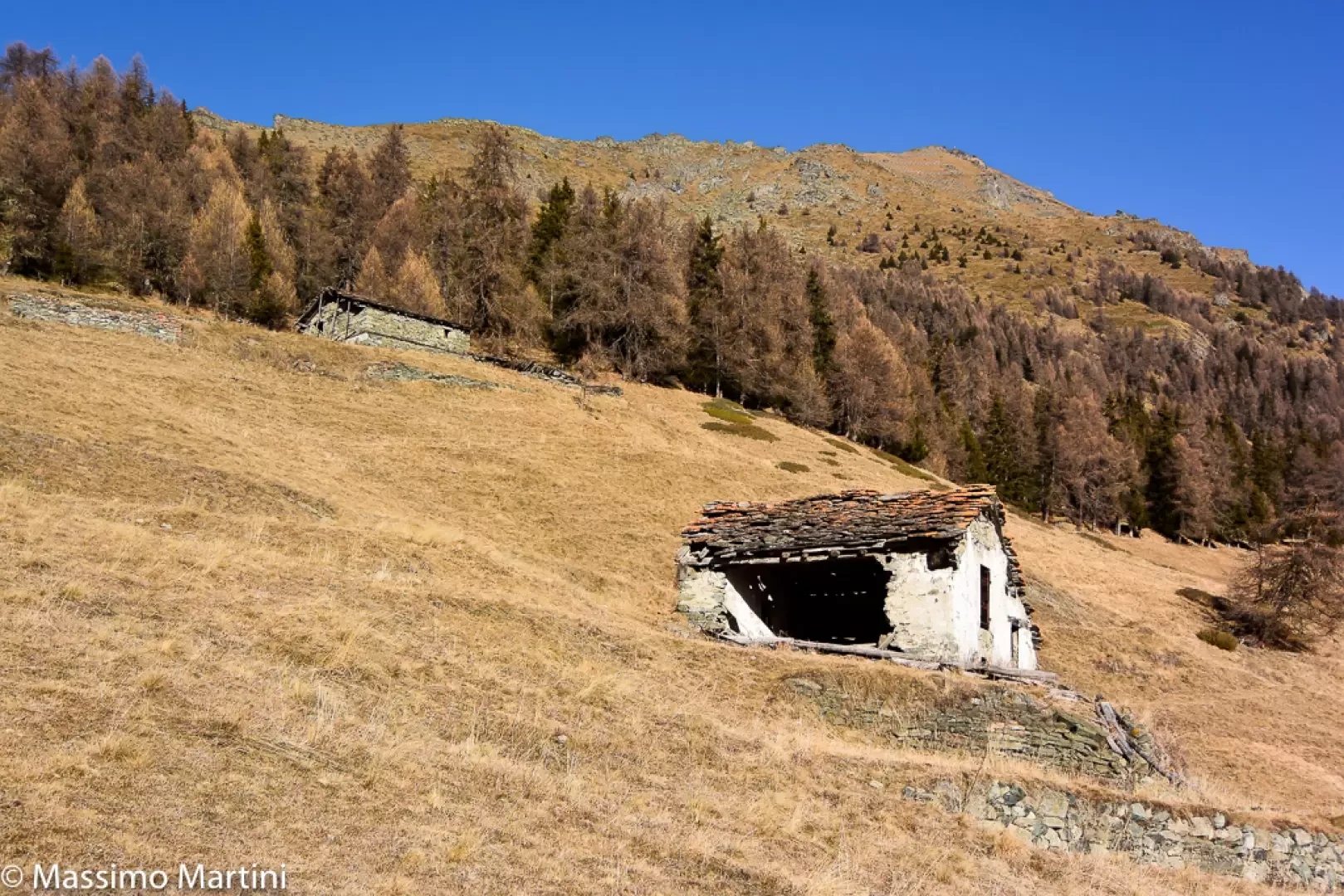
0h10' From the signpost, head up through the mountain pastures, following a faint track marked by horizontal yellow markings, passing near the disused Fontarin dessous mountain pasture - dèsot (1914m), which you’ll leave on your right, until you cross the grassy track that follows the course of the Ru de Verrayes. Continue straight on, along the edge of the ski run, quickly reaching Fontarin dessus - damòn (1,943 m), beyond which you enter the woodland. A little further on, you come to the start of the dirt track leading to Gordzà, signpost 105km, and a signpost: continue along path
, heading into the Bois de Vieille, which consists mainly of Norway spruce (Abies picea) and larch (Larix decidua).
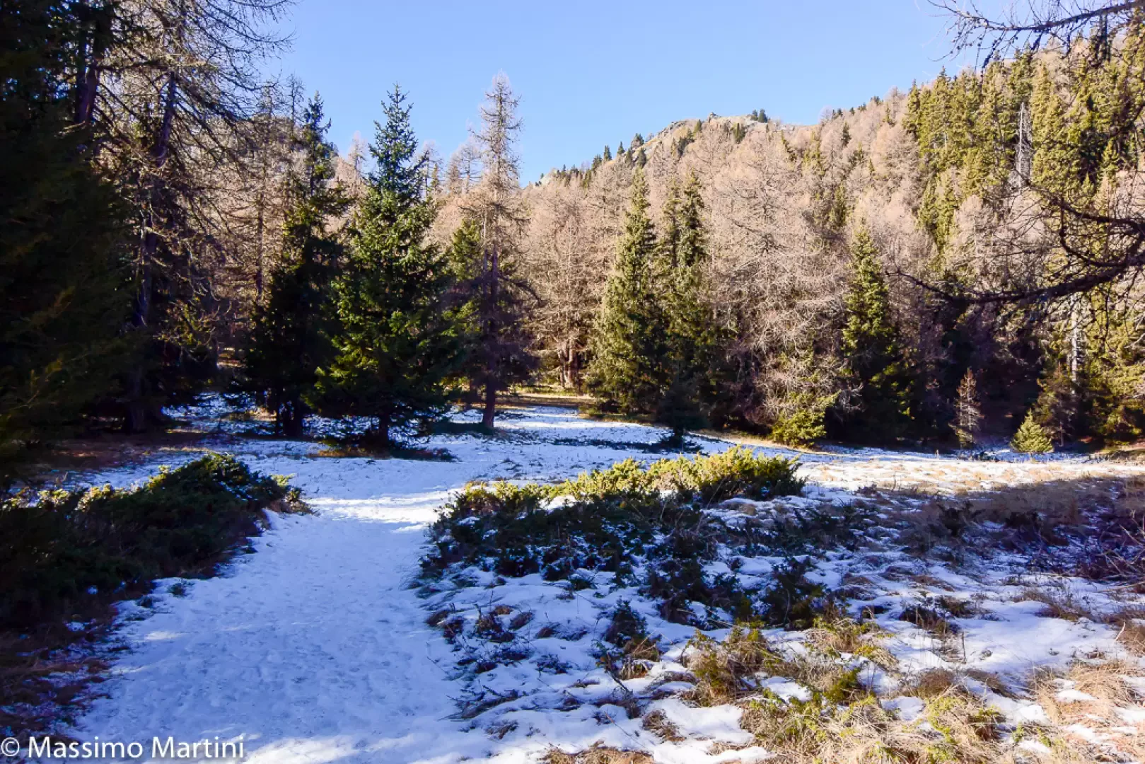
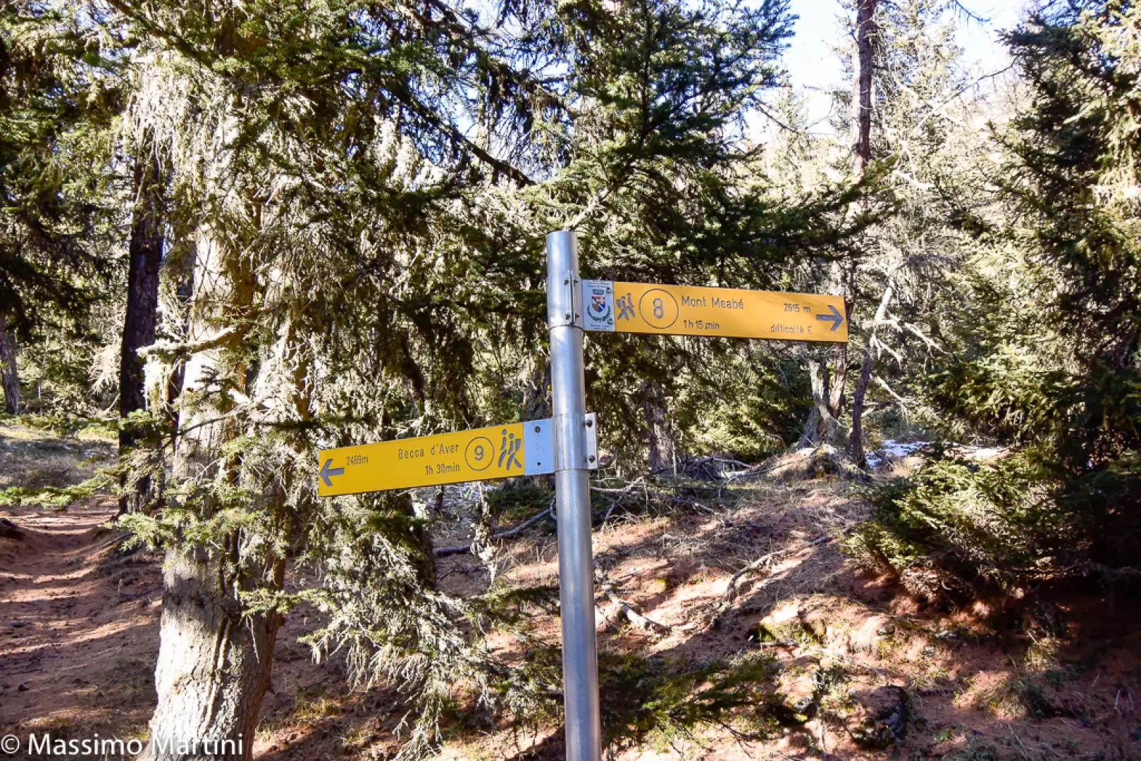
0h25' After an initial uphill stretch, the path levels out and comes to a lovely clearing where, in spring, a temporary pond forms as the snow melts. The path veers to the left before leading the walker back into the shaded woodland. Continue now on a gentle climb until you reach the junction for La Fenêtre (2,050m), the pass separating Torgnon from the Vallone di Saint-Barthélemy. 0h45' Turn right, following the signpost
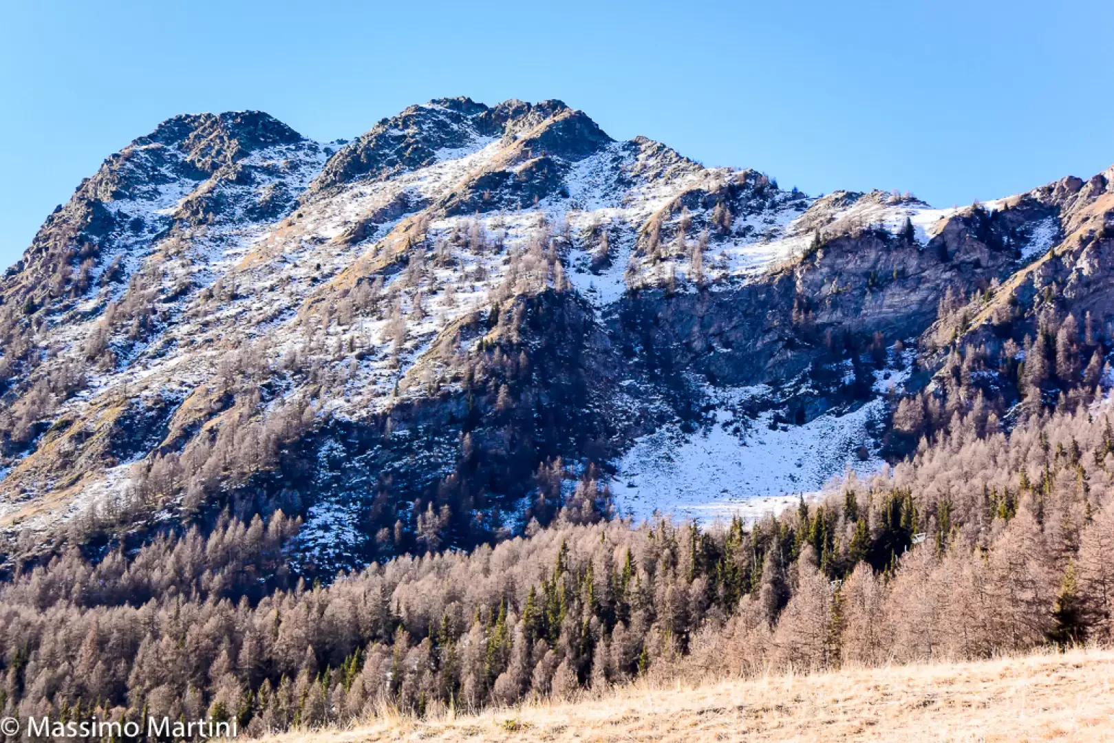
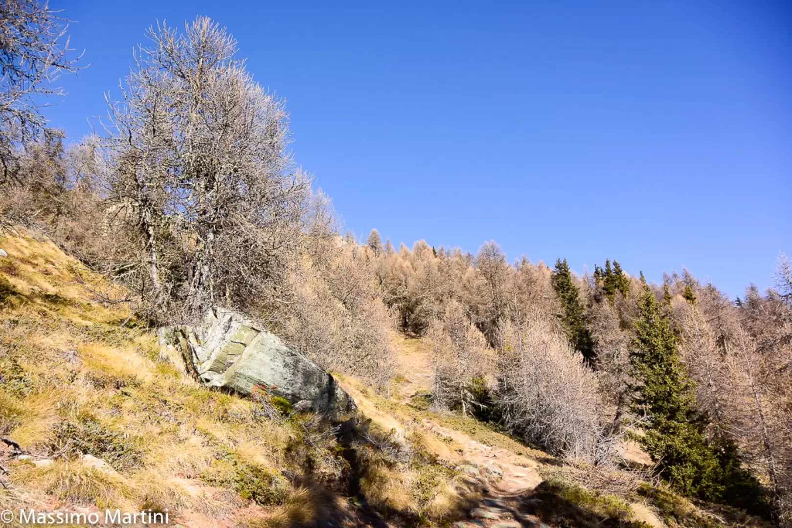
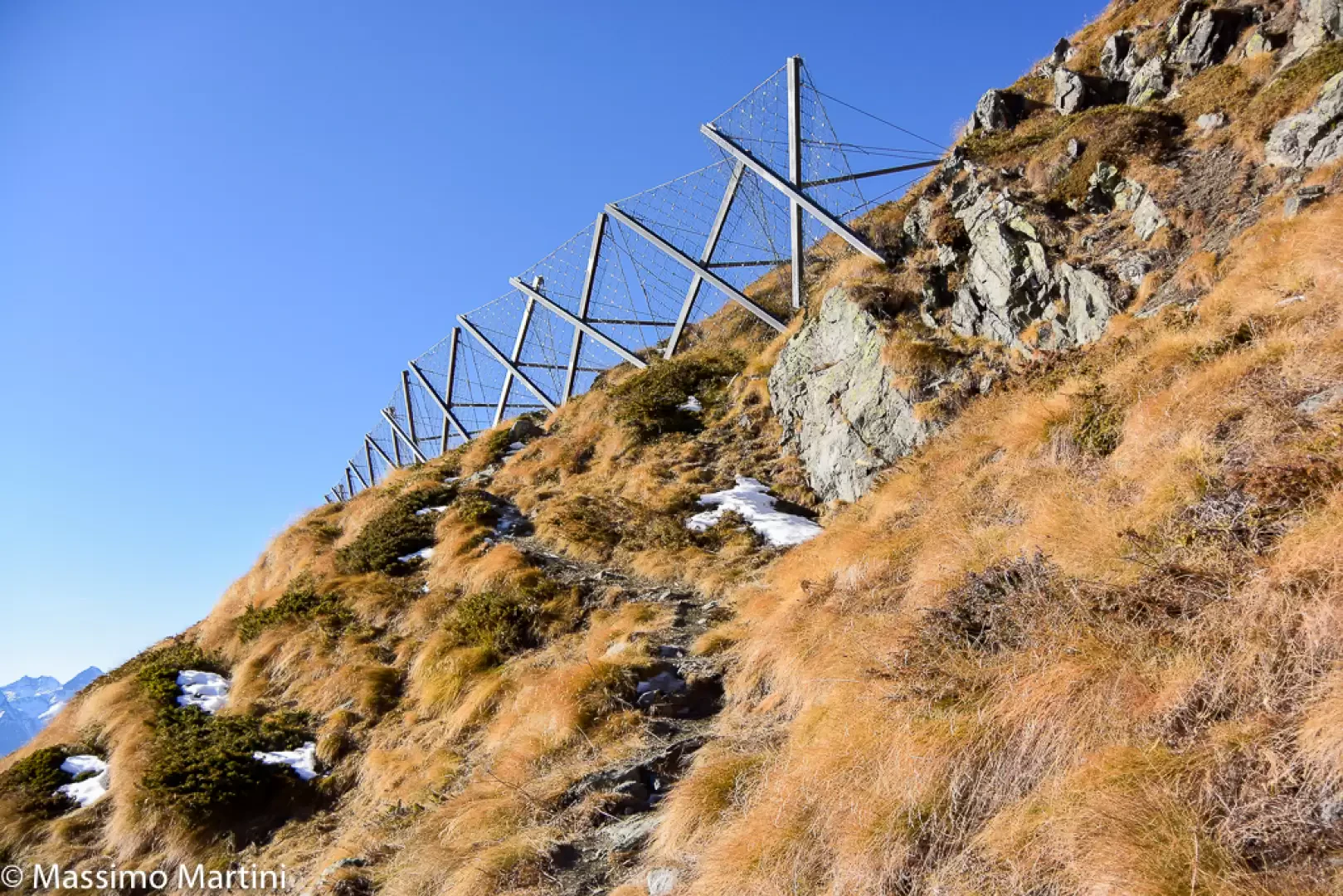
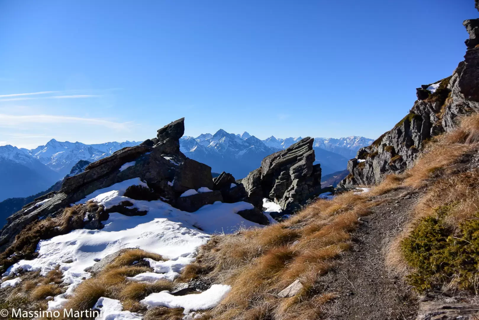
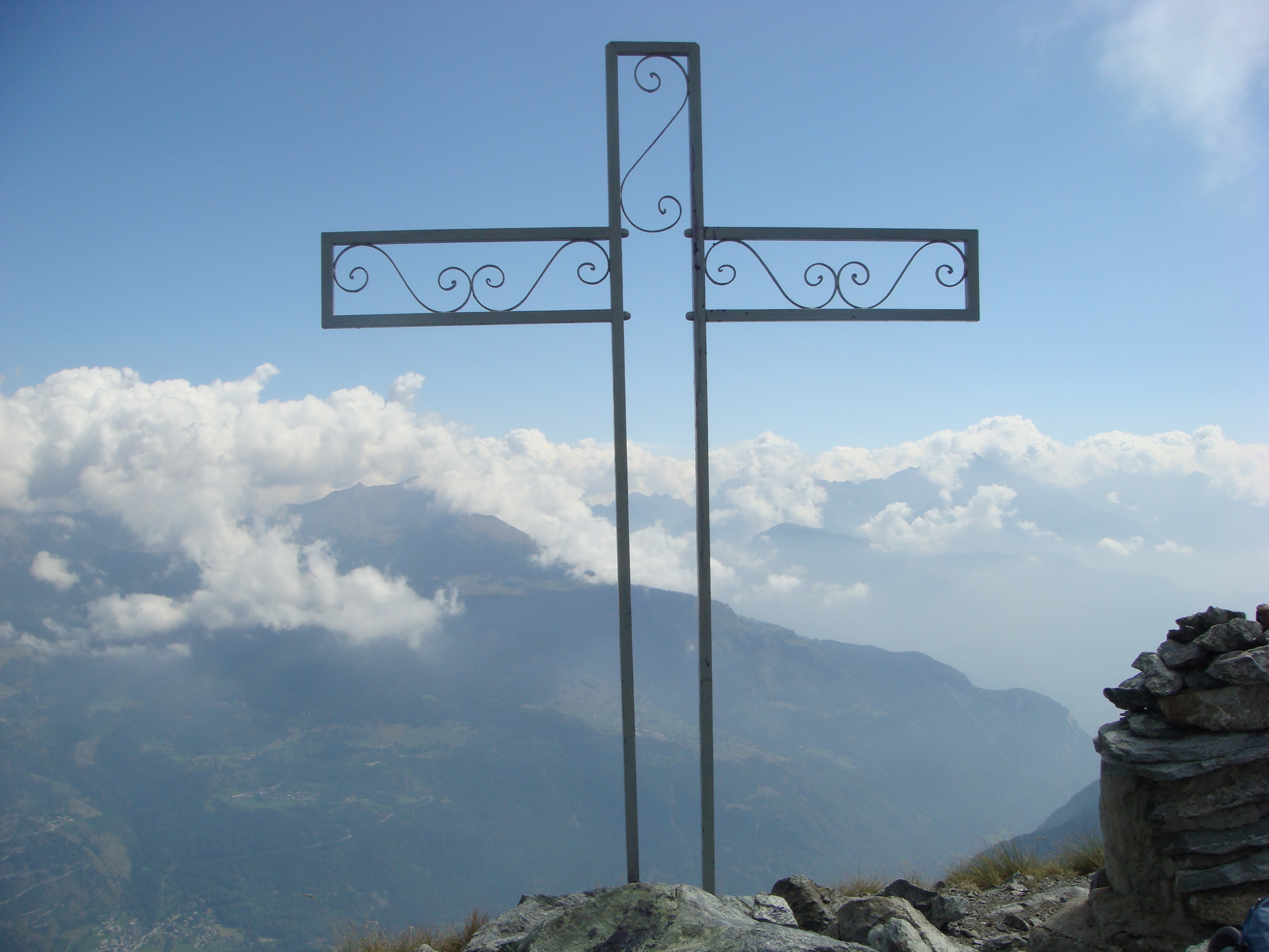
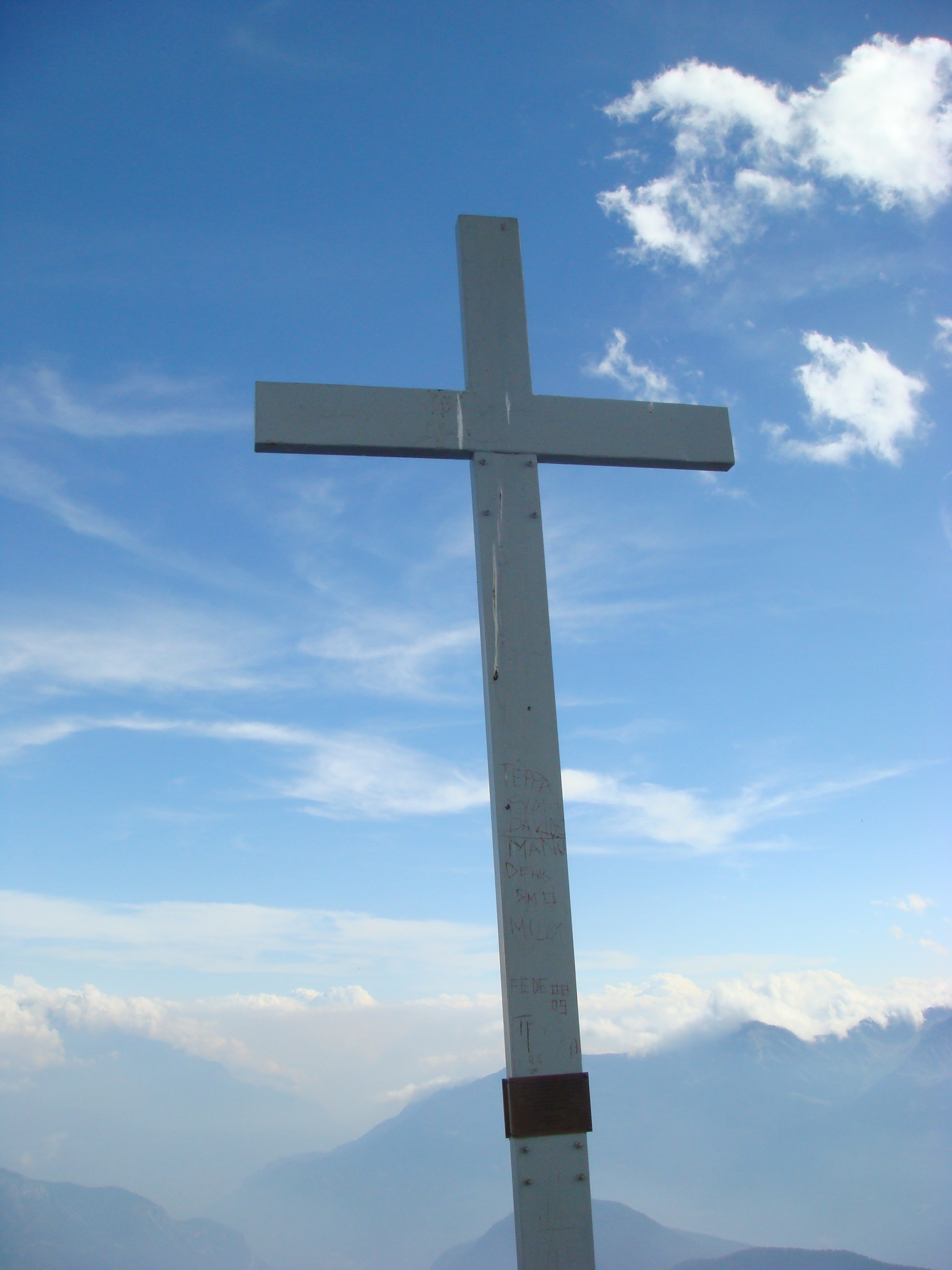
, heading north on a gentle climb through larch and juniper (Juniperus). The path cuts diagonally across the ridge of the massive secondary summit until it reaches the remains of a landslide that occurred some time ago, which is bypassed via a few short hairpin bends. Continuing up the slope at a steady gradient, always on the sun-facing side, you leave behind the shade provided by the last larch trees as fascinating panoramic views open up across the whole of Valtournenche and the distant glacial summits of the highest peaks in the Monte Rosa Alps. The route continues across grassy slopes, now devoid even of low-growing vegetation, interspersed with sporadic larch trees whose shapes have been weathered by exposure to the elements. In the distance, the array of avalanche barriers comes into view; these are reached in short order, whilst on the horizon appears the metal cross marking the summit of the secondary peak. The path winds its way through the protective grids several times, making a left-hand turn before climbing briefly to skirt the forked rocky ridge that rises from the Fenêtre below. The destination is now close at hand; you rejoin the ridge and, following an easy path, reach the Antecima del Mont Méabé (2,566 m) 2h00' (742 m elevation gain) (30 m descent), from where you can enjoy an unbeatable panorama.
The descent follows the same path taken on the way up 1h15' .
Dal centro di Torgnon, seguire l'indicazione a sinistra per il Col St Pantaleon.
Parcheggiare a Ronc (Les Roncs).
Attraversare la strada e sulla curva sale il sentiero nr 3.
Arrivati alla sterrata si volta a sinistra e si continua fino a ritrovare l'indicazione che ci fa salire per il bosco.
ATTENZIONE il primo tratto di sentiero e' crollato e bisogna quindi farsi largo tra alberi ed arbusti sino a ritrovare la traccia che prota al Col des Bornes 1781.
Per evitare questo pezzo si puo' stare sulla strada a destra che, con cammino piu' lungo, riporta alla strada proveniente dal Col des Bornes. In questo caso si gira a sinistra e si scende fino al colle dove una pallina sengaletica indica il sentiero nr 1 per la Becca d'Aver.
E' un sentiero che sale dritto nel bosco con pendenza ma senza tornanti se non nell'ultimo tratto.
Proseguendo sul nr 1 si arriva al Col d'Aver (2330m) dove, anziche' i soliti nastri per tenere fuori (o dentro) il bestiame, e' stato usato del filo di ferro!
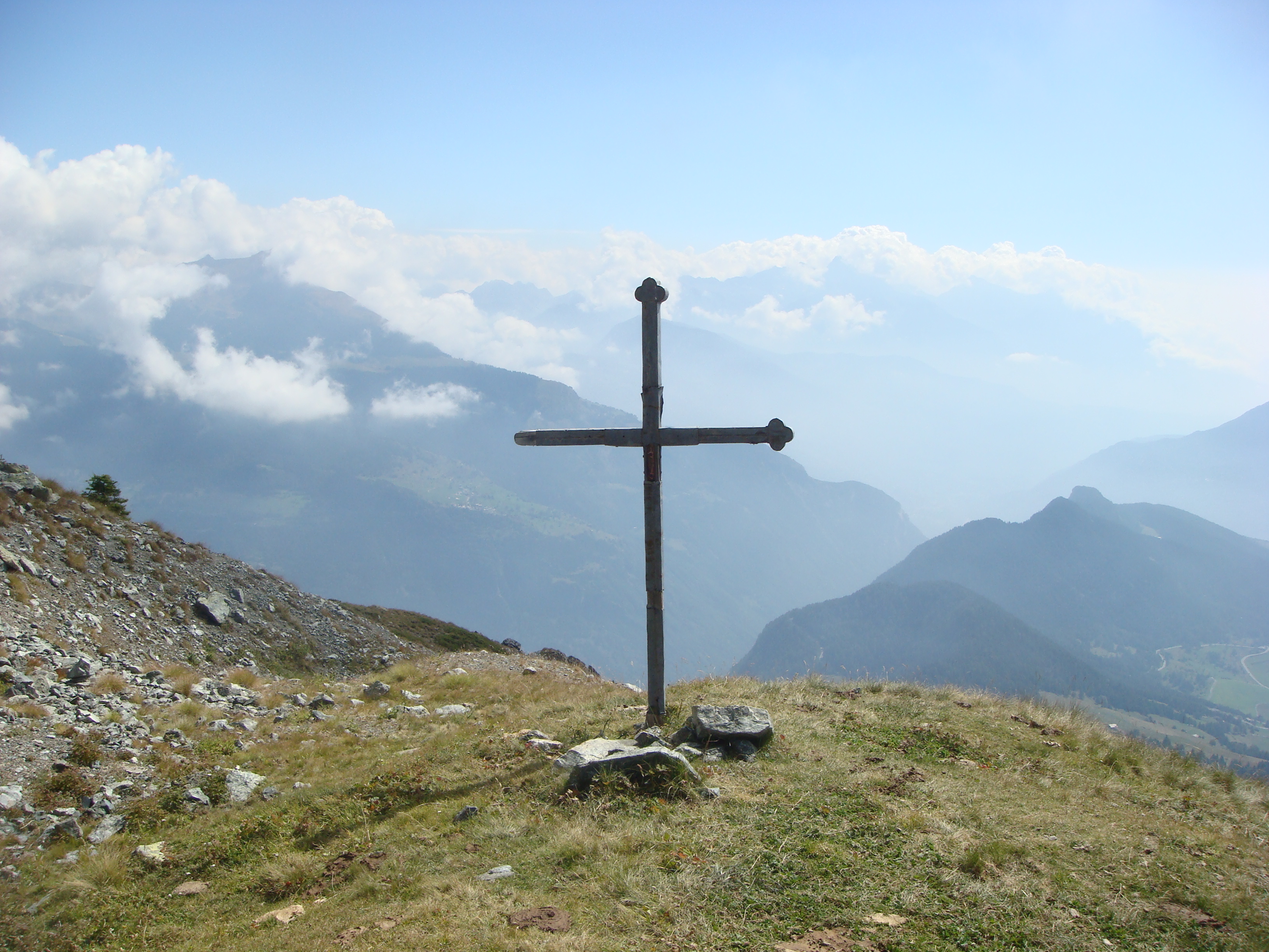
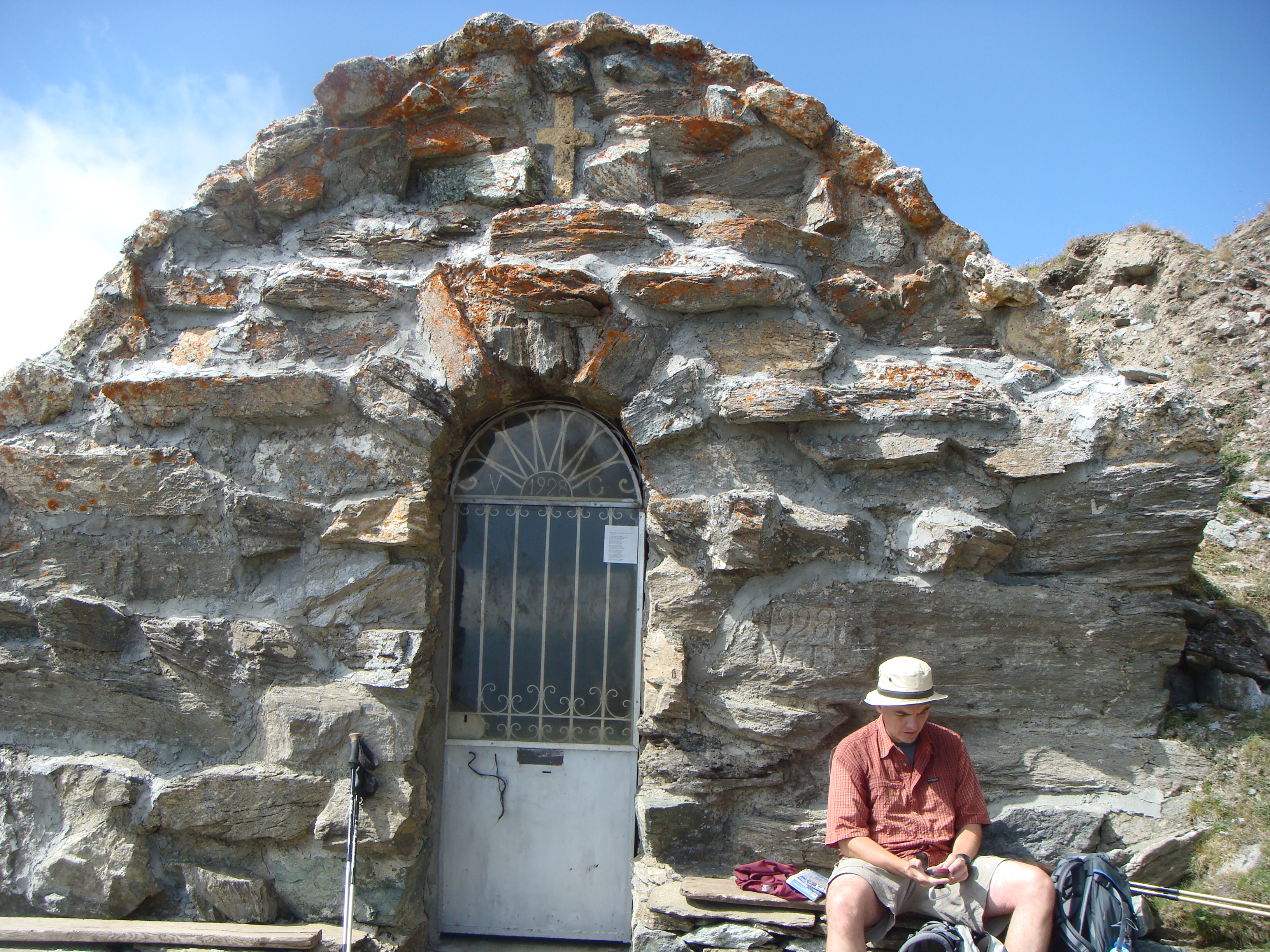
Si volta a sinistra e si continua a salire passando di fianco a una cappella e una croce.
Da li la vetta e' a qualche minuto di cammino (2469m).
Per raggiungere l'anticima del monte Meabe' ci sono due possibilita': proseguire per il sentiero nr 9 che in cresta e a tratti attrezzato, porta a La Fenetre per poi scendere e ricollegarsi col nr 8 oppure, come abbiamo fatto noi, tornare al colle e prendere il sentiero numero 11 (facendo attenzione al filo spinato sopra citato!!).
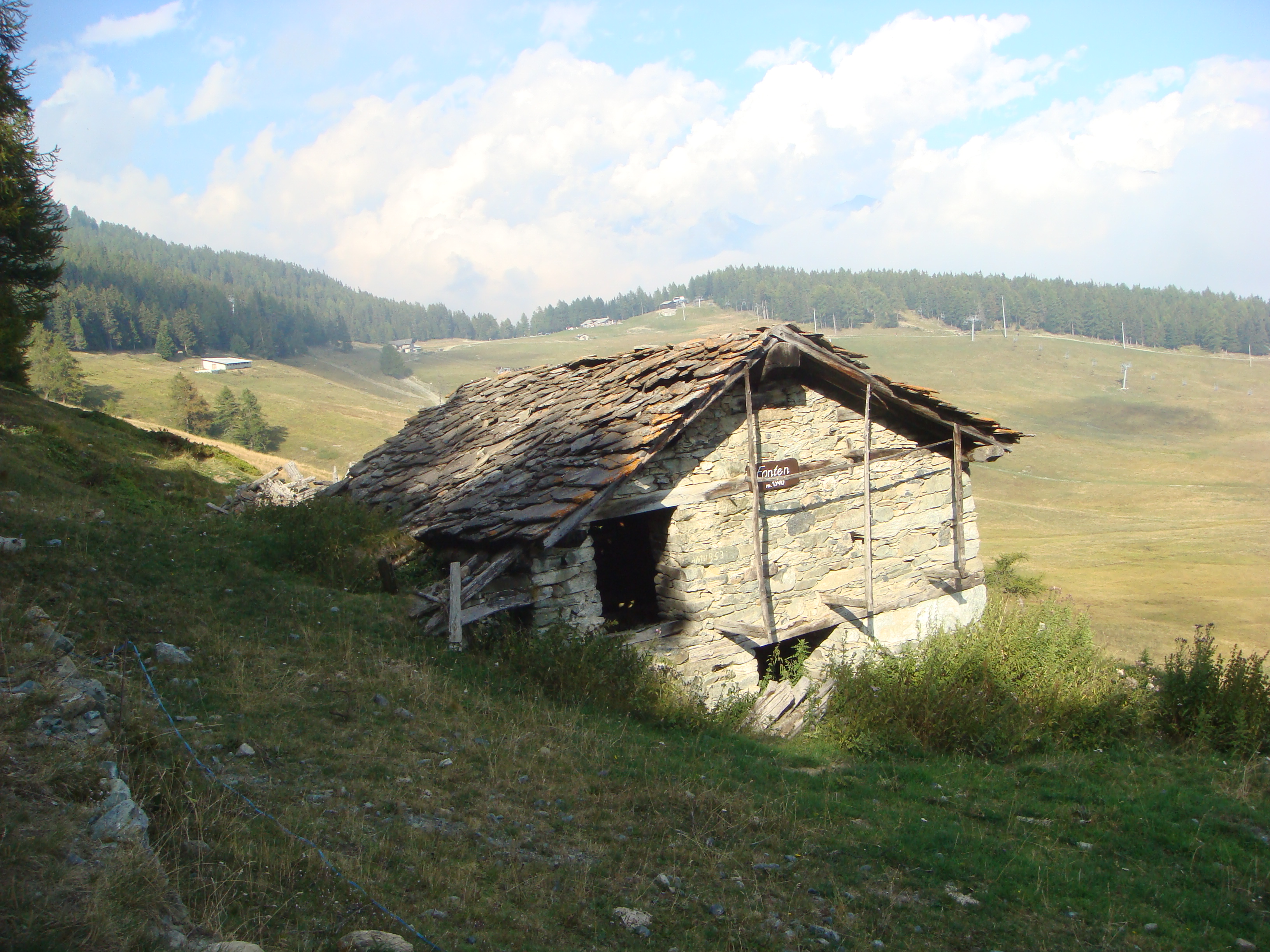
Il sentiero 11 termina su piste da sci. Arrivati in fondo si gira a sinistra, si passa davanti ad una fattoria e, all'altezza di altri campi da sci, si risale per i incontrare il sentiero nr 8 nel bosco.
Si passa per una bella area tranquilla, ideale per pic nic e per rilassarsi, e si continua a salire fino ad incontrare il sentiero nr 9 dove si volta a destra.
ATTENZIONE, sono stati corstruiti dei nuovi paravalanghe proprio sul sentiero, quindi per arrivare alla vetta si deve passare tra i pannelli facendo attenzione a non inciampare sui cavi metallici.
La discesa segue il sentiero dell'andata.
In alternativa si puo', arrivati a Fonten, proseguire sulla poderale fino a Col des Bornes (o prima di arrivare al colle si puo' prendere la strada sulla sinistra per evitare il tratto di bosco dove il sentiero e' crollato) e riprendere la via della discesa



Comments (0)
Sign in to leave a comment