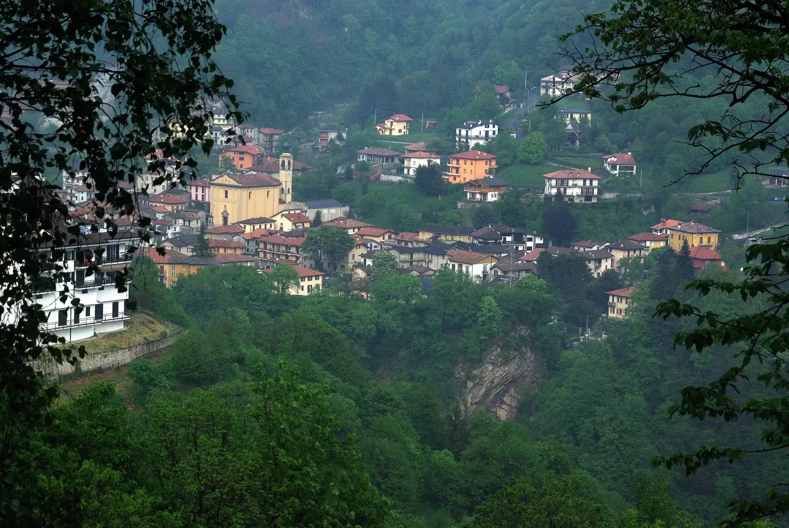
Gallavesa Canyon, from Somasca


Edited by:
Marco Bonati
Updated at: 30/11/2024
Access
From Milan to Lecco along State Road 36; take the Lecco-Bione exit on the right towards Bergamo and continue to Vercurago. At a crossroads turn left towards Somasca and look for parking in the large church squares (automatic closure from 9pm to 6am).
.Introduction
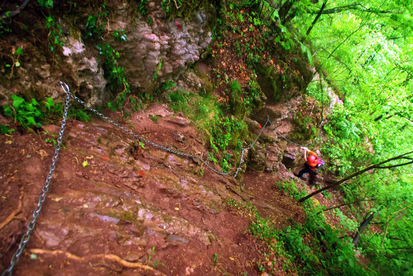
Interesting low altitude itinerary that follows the deep furrow of the Gallavesa stream at the foot of the Resegone, following what remains of an old disused hydroelectric aqueduct. The route is fully equipped with a metal cable in the long exposed traverse sections, and with chains to facilitate ascents on rocky or muddy terrain. At the end of the difficulties, the small village of Erve is reached and from here, for the descent, it is interesting and 'cultural' to return to the start via a path that leads to the visit of the Castello dell'Innominato and the Eremo di San Gerolamo.
Description
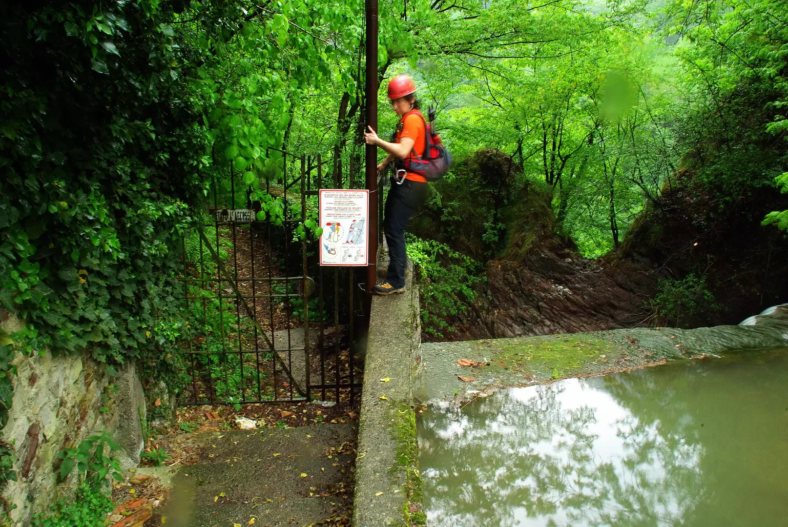
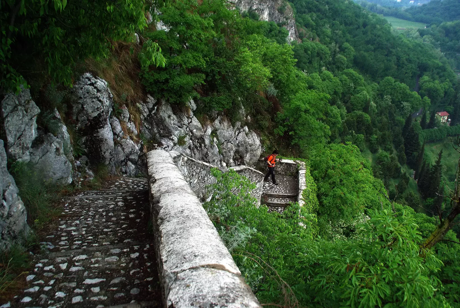
From the car park, cross Somasca along Via San Gerolamo to the beginning of the tree-lined avenue leading to the hermitage: on the right, take Via per Beseno and follow it for a long stretch to a dirt track junction (signposted for the ferrata). The track to the left soon becomes a small path on the slope which, with repeated ups and downs, leads towards the depths of the Valle Gallavesa: a slight widening at the base of a rocky pass is the starting point for the equipment. From here, in strong exposure, one continues by a cement pipeline to the bottom of the valley; the few variations in slope are assisted by sections of progression chains. Shortly after a cove with a picturesque waterfall, you ford the stream and continue along the coast to the remains of a power station: key passage on artificial supports in the void over the water. From here, the vertical shift into a rocky forest prevails as we approach the last section, which takes place along the steep service staircase to the metal pipeline. A few dozen metres alongside the stream with beautiful waterfalls, and you reach the first houses of Erve. For the return journey, it is highly advisable to take a loop that leads back to Somasca along the slopes of Monte Mudarga. At the first bridge in the village - signposted - turn left and, at first between the houses, follow a small asphalted road for about half an hour that leads to the hamlet of Saina; the road becomes a dirt track and then a path through the woods, reaching the highest point at the panoramic Croce di Vicerola. From here a regular series of stony hairpin bends descends into a small valley to a modern chapel of the Alpini: nearby is a hill with the remains of a castle (traditionally attributed to Manzoni's Innominato). From the valley side begins a picturesque route that, passing the religious-devotional structures of the Hermitage of San Gerolamo, pleasantly leads to Somasca near the starting point.
.Photo gallery
Comments (0)
Sign in to leave a comment