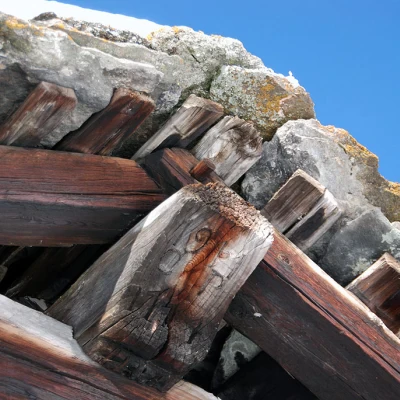
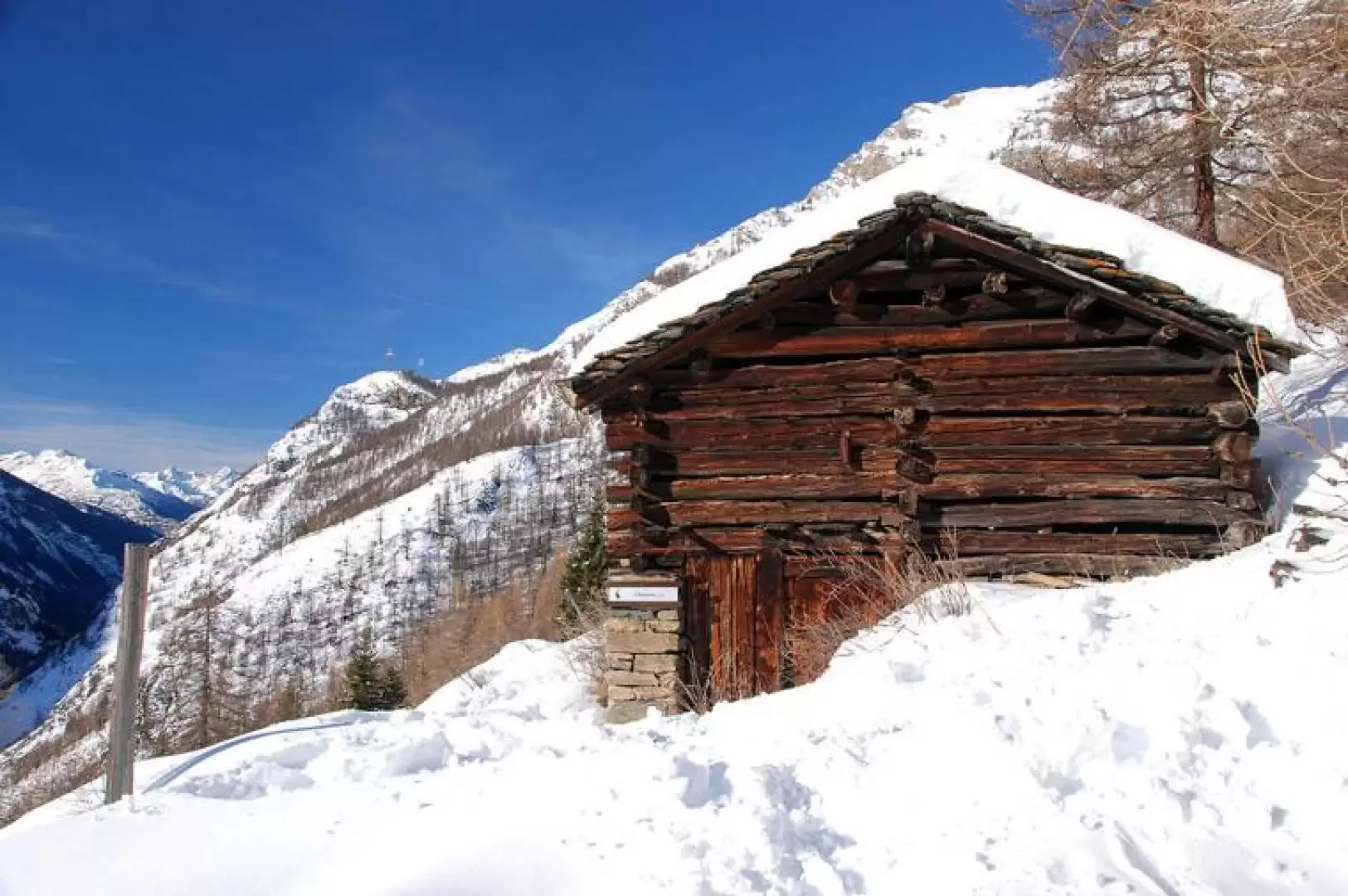
Tsavanis, from Gimillan
Access
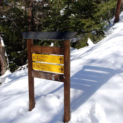
Lasciare lo svincolo autostradale di Aosta Ovest e svoltare a destra, imboccando la della Valle di Cogne. Attraversare l'abitato di Aymavilles e, dopo 1,5 chilometri, alla rotonda prendere la seconda uscita. Proseguire lungo la strada regionale per 18,7 chilometri, superando i villaggi di Vieyes, Epinel e Crétaz, fino a raggiungere una nuova rotonda. Prendere la seconda uscita e continuare sulla stessa strada per altri 1,1 chilometri, fino a incontrare un’ulteriore rotonda. Qui, imboccare la terza uscita seguendo le indicazioni per Gimillan. Risalire la strada comunale per circa 3 chilometri, superando il villaggio di Montroz. Una volta giunti a Gimillan, tenere la destra al bivio e proseguire per circa 200 metri, fino a raggiungere un ampio parcheggio gratuito 🅿️ situato sul lato destro della strada. Dopo aver parcheggiato, dirigersi verso il fontanile 💧, presso il quale si trovano le paline segnaletiche con le indicazioni per tutti i percorsi del vallone di Grauson.
Distanza e tempo di percorrenza
🕒 Tempo di percorrenza: 34 minuti
📏 Distanza: 24,1 km
Navigazione GPS
📍 Come arrivare con Google Maps
📍 Come arrivare con Apple Maps
ℹ️ Nota importante
Le indicazioni fornite sono state verificate alla data del rilievo dell’itinerario. Prima della partenza, è consigliabile verificare eventuali variazioni del percorso. Per ottenere indicazioni aggiornate e dettagliate, si consiglia l’uso di Google Maps o Apple Maps.
Introduction
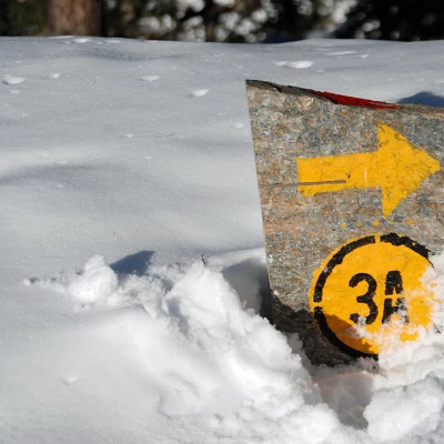
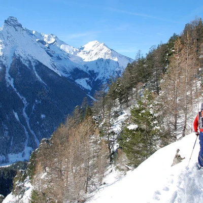
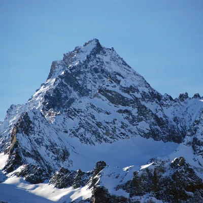
This route does not have excessive differences in altitude and should only be undertaken with good snowpack conditions. The route on path 3A has some sections with very slight exposure. Overall, the hike offers spectacular views of Punta Pousset, Punta Rossa della Grivola and Punta del Trajo.
.Description
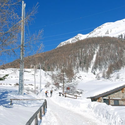
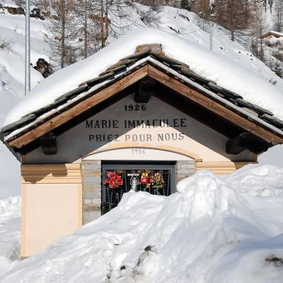
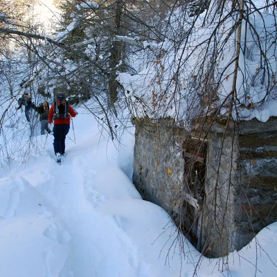
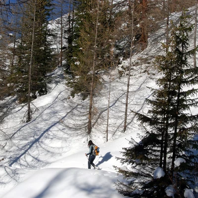
From the car park, walk up the snow-covered track to the votive chapel dedicated to "Marie Immaculée"; continue on the track to the right, skirting the Gimillan stream, until you reach Pian di Teppe (1923m, 0h10').
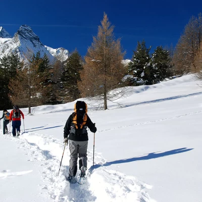
Go around the building and continue to the left following the beaten track, which is practically level. Go past the alpine pasture of Serve and continue in a north-westerly direction, crossing some larch thickets until you reach a clearing: go straight on until you meet path
, which is not always easy to locate.
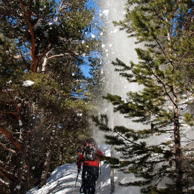
Continue along the path halfway up the hillside, entering the Tarambel torrent's impluvium until you reach a small hut; cross the impluvium and continue into the wood with a long series of small ups and downs. Some sections of the route have a very slight exposure and are not at all difficult (perhaps only in the absence of a track). You enter a second impluvium, cross the Molère stream, and begin a slight descent that leads to the junction with path
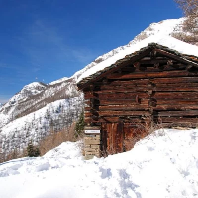
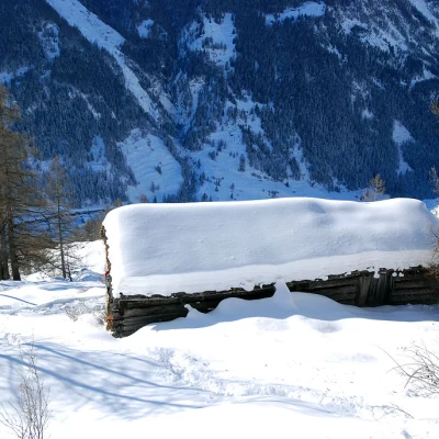
: having encountered the signs, turn left. Go down the path for about a hundred metres and when you see a farmhouse, turn right and you will arrive at Tsavanis (1867m, 1h15').
The return journey follows the same route as the outward journey.
