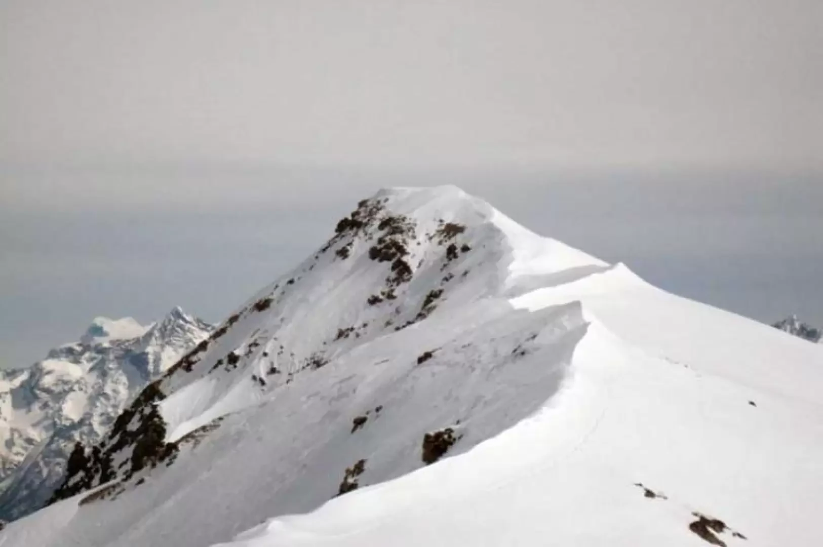
Tête Cordellaz, from the Pré Neuf car park
Access
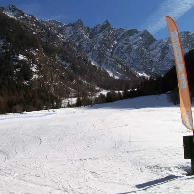
You take the Turin-Aosta motorway and exit at the Aosta East barrier, continuing on towards the Gran San Bernardo tunnel. Once you have passed the town of Etroubles, turn left and follow the signs for the sports facilities and, descending a little on the road, you will come to a large square at a restaurant adjacent to the cross-country skiing tracks, where you can conveniently leave your car.
Introduction
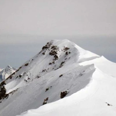
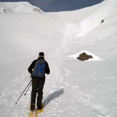
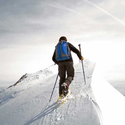
This climb can be divided in terms of difficulty into two parts: the first, up to Tsa de Flassin, is easy and usually well marked, while the upper part, with steeper and more demanding sections, must be tackled with very well groomed snow. Already above the alpine pasture, the route must be well evaluated so as not to remain too far below the steep slopes on the right, which, although not very high, are well exposed to the sun and can be unloaded especially during the return journey, while the ascent from Tsa de Flassin via the right-hand gully is not recommended because, in addition to being narrower, it is overhung by the steep and wide slopes that descend directly from the Tête de Cordellaz. The most delicate part is the part that runs along the ridge from the pass, which, although it climbs with little difference in height, has numerous cornices and accumulations of powdery snow brought by the wind, and therefore the conditions of its practicability must be evaluated at the moment; however, in addition to the good snow settling, it is prudent to climb it in the morning before it becomes wet and heavy on the traverses. If there is little snow or if the snow is very hard and icy, crampons may be useful.
Description
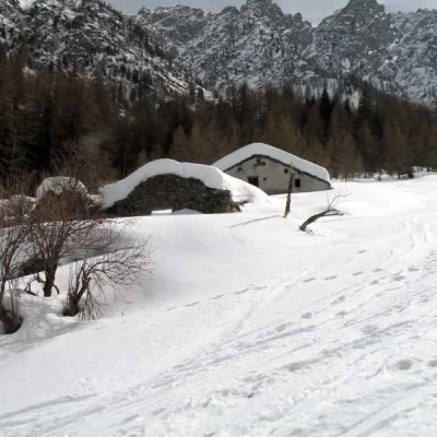
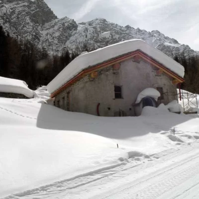
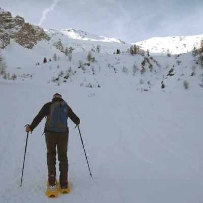
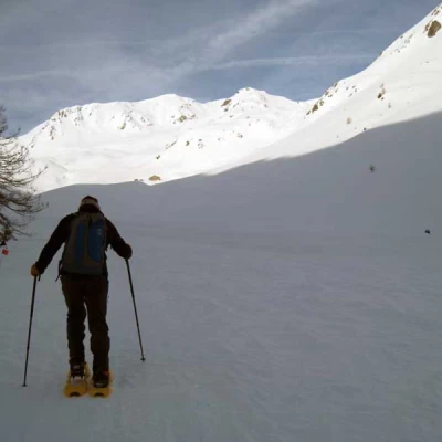
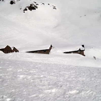
From the forecourt, climb up to the edge of the cross-country ski tracks and head into the upper forest, skirting the toboggan run on the right to reach the starting point. From now on, if you wish, you can follow the road, beaten by the snowcats, which leads with long hairpin bends into the forest, while it is better to cut it off by continuing straight ahead with slight inclines and passing a little to the right of a first hut. As you head into the forest, you cut across the road at some points, first passing the Flassin de Meiten huts (1651m) and then the Flassin huts (1713m) located a little further on. Remaining in the sparse vegetation and keeping to the centre of the valley, walk straight ahead until coming out of the vegetation where the open part of the itinerary opens out before us; moving a little to the left, you contour around a little-pronounced rise and, returning to the right, go up the centre of the road until you see some huts further on the right: without a fixed route and passing between gentle rises, you reach the huts of Tsa de Flassin (2265m). Go past the mountain pasture and begin to climb to the left of a promontory, climbing up some steep crags alternating with short, more restful stretches and trying to keep a good distance from the slopes on the right, from which small discharges can descend. Shortly before reaching a wide crag, you gradually bend to the right to arrive below the ridge that leads to the summit, and here you need to assess the condition of the ridge and the ledges present at the time in order to find the most suitable points for the ascent. Evaluating these elements, walk along the airy ridge, passing now from the south side and now from the north side, paying attention to the very steep traverses that you will encounter, and you will reach the small summit cairn, circling the summit from the right (Flassin side).
