Stouba, from Partejoux


Edited by:
Massimo Martini
Updated at: 21/09/2024
Introduction
Welcome to the other Aosta Valley! That could be the right slogan to invite you to travel this route.
Description
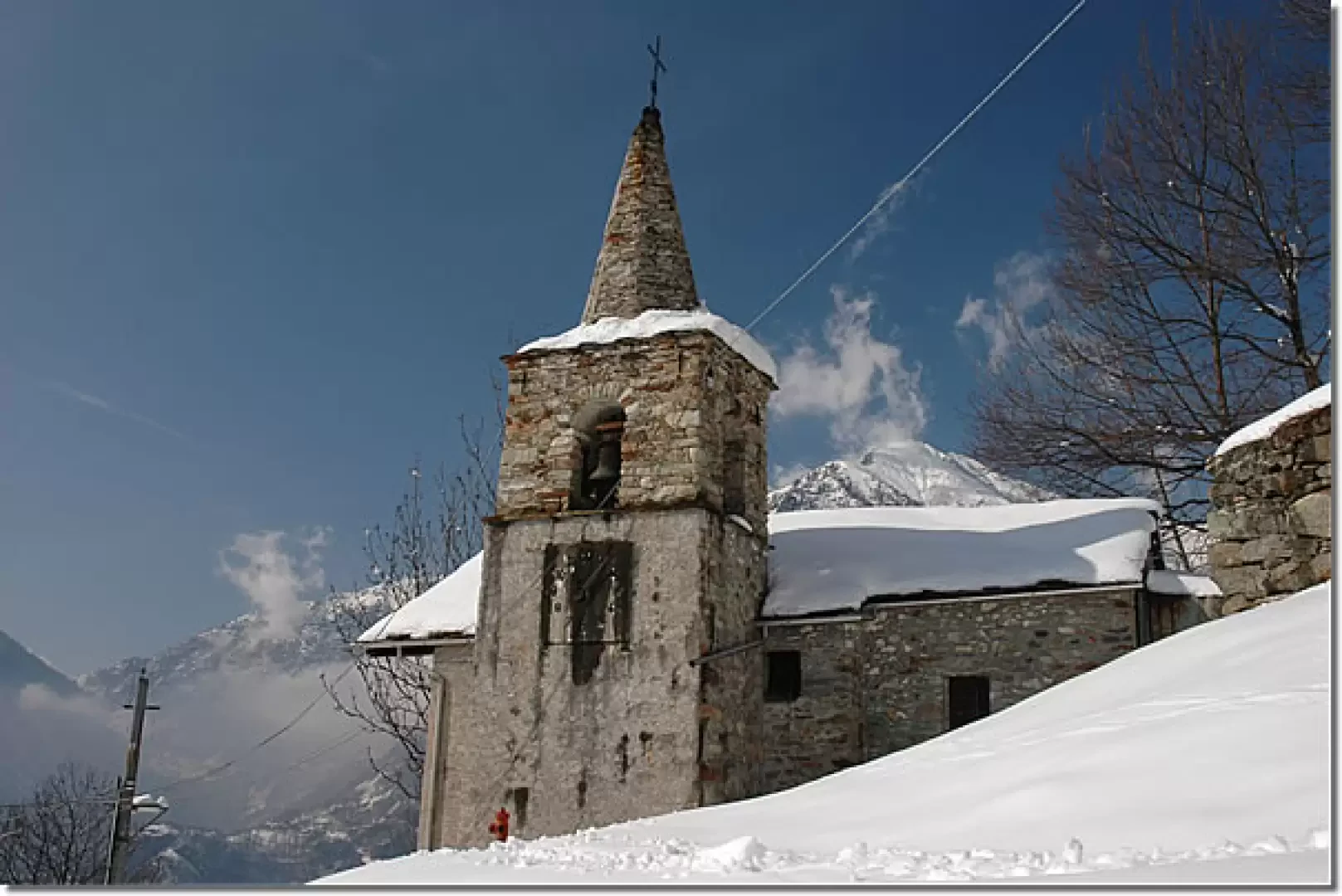
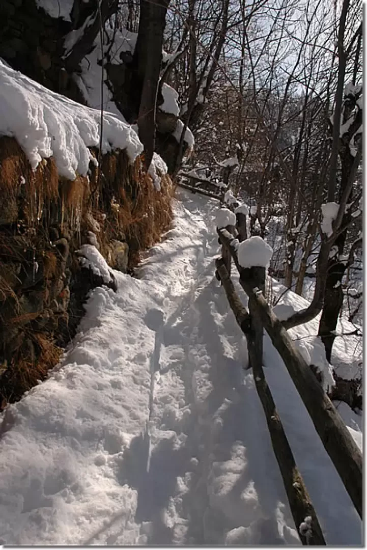
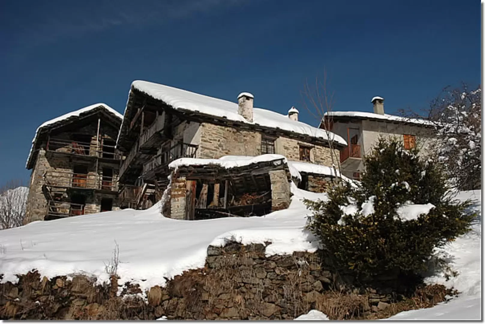
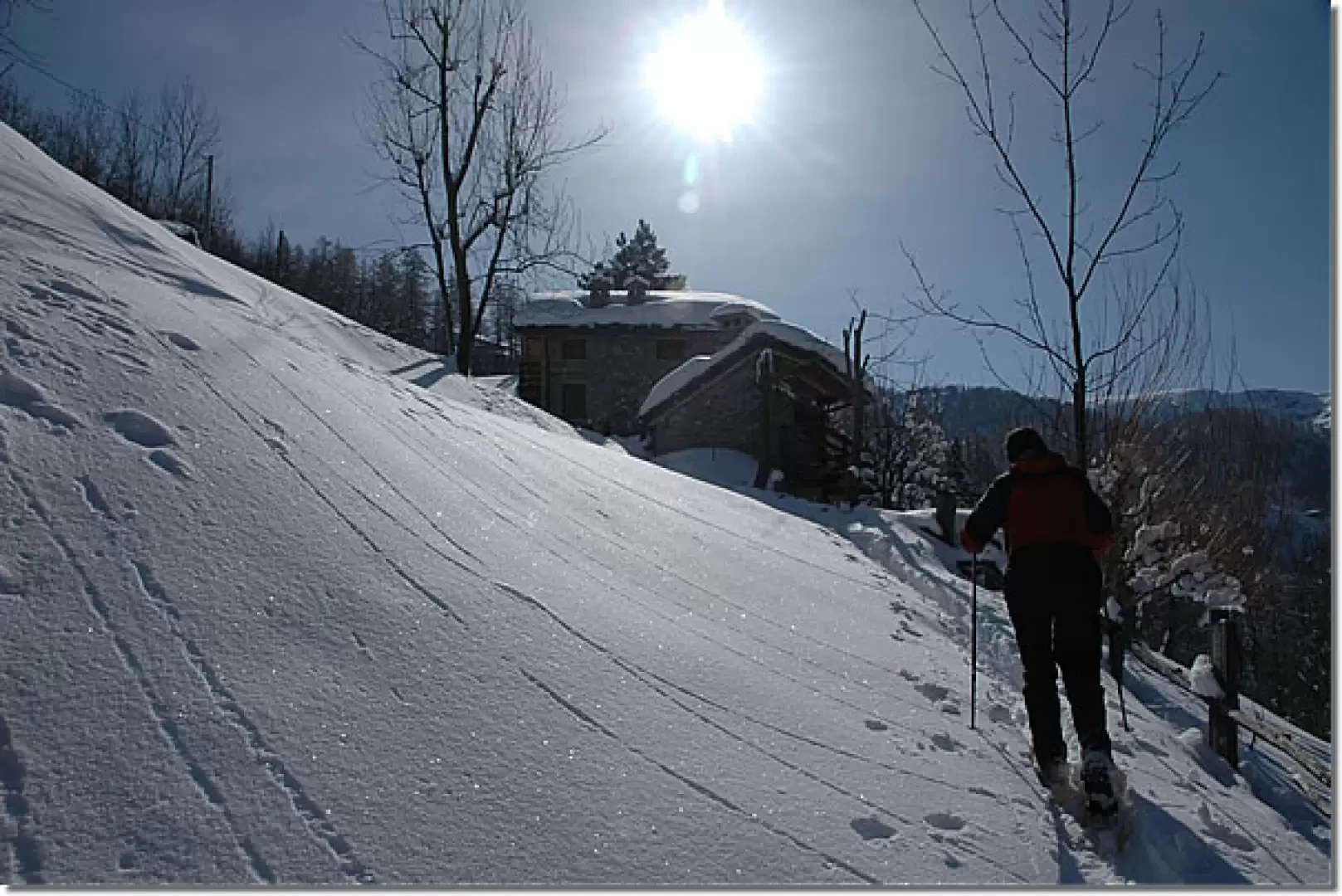
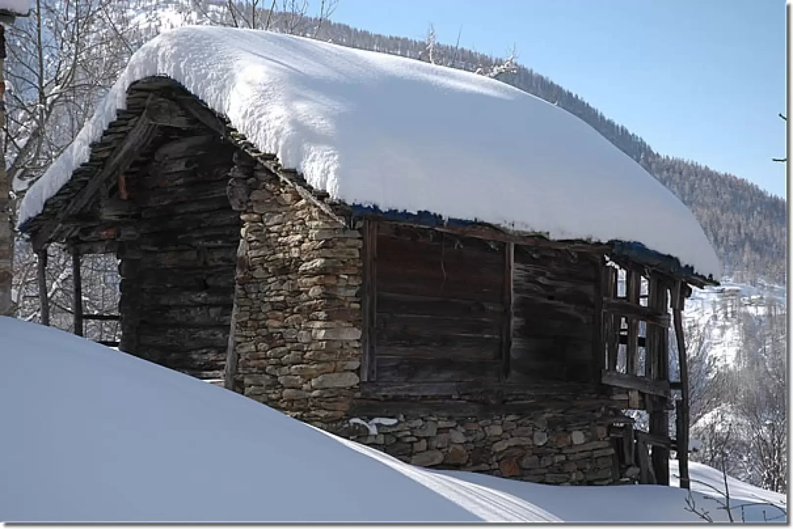
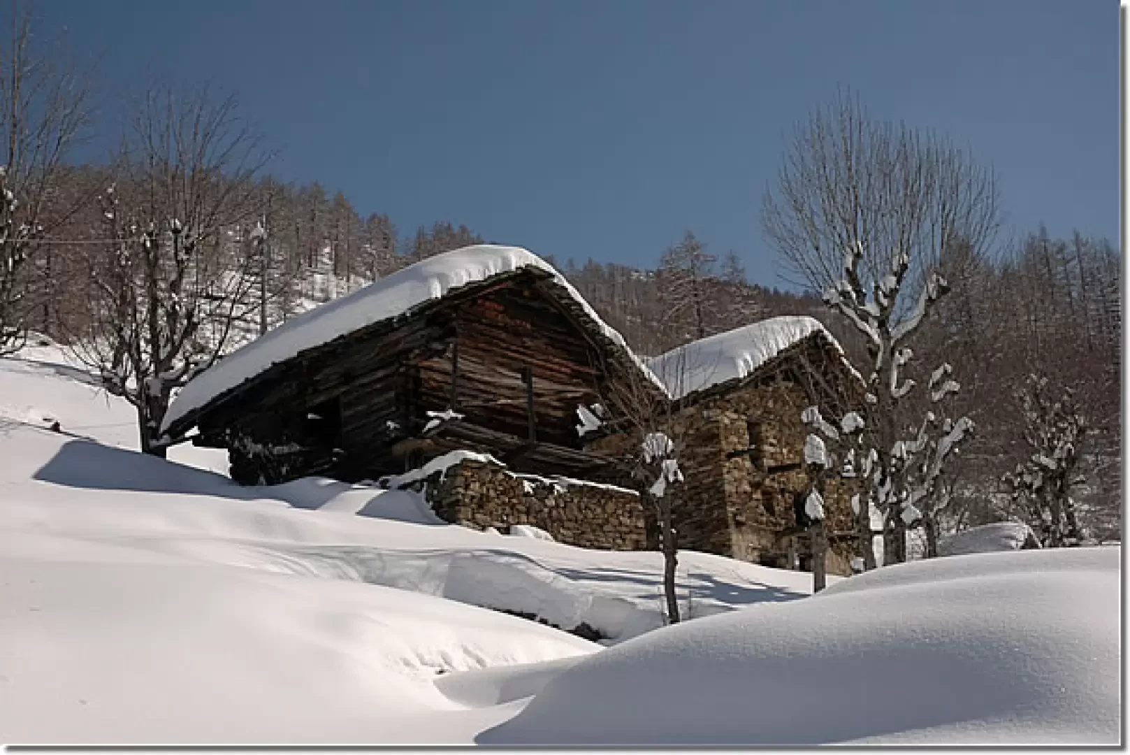
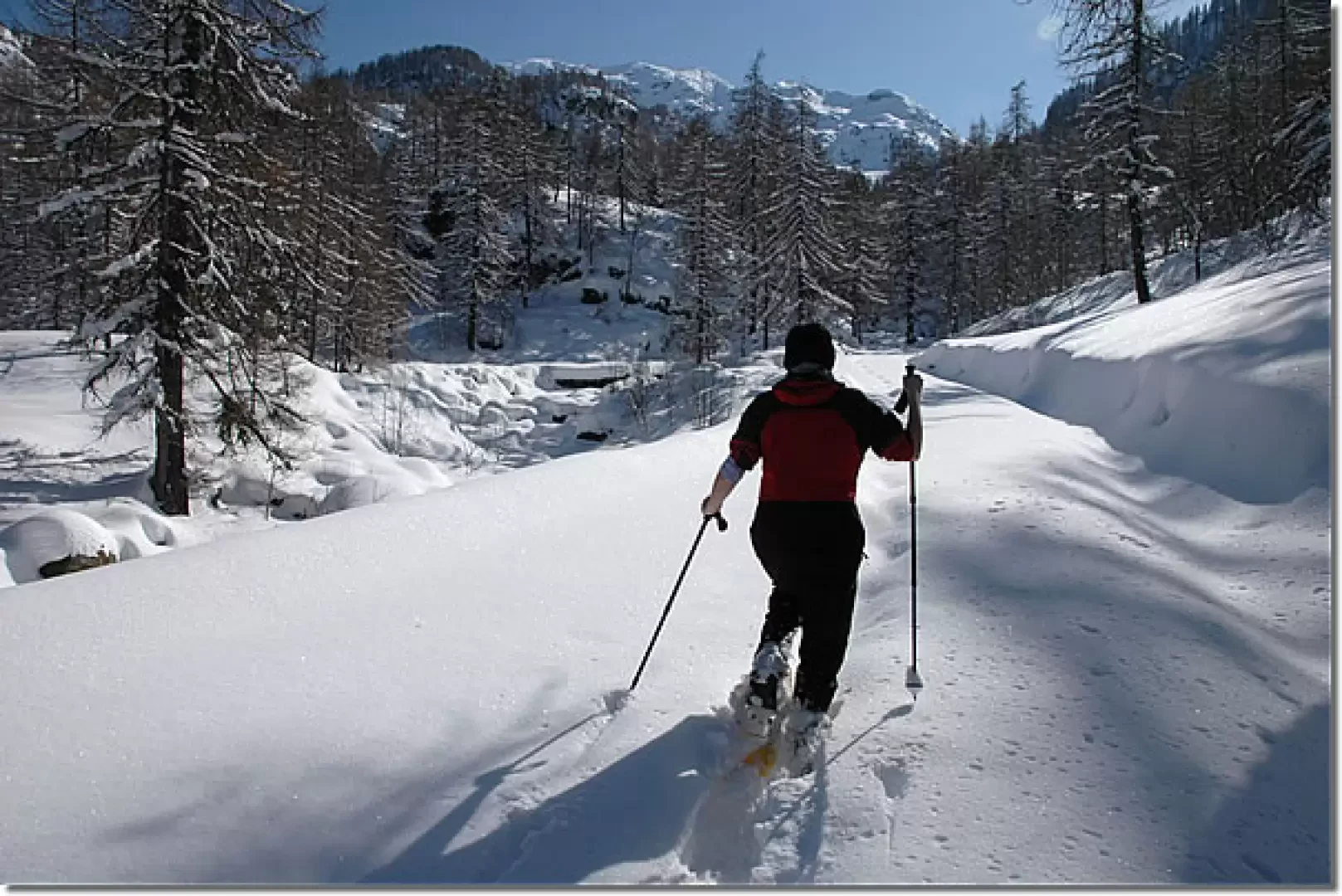
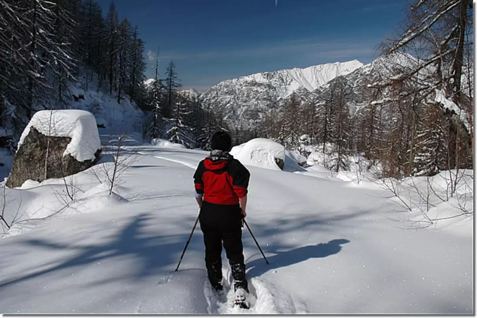
Leaving the car behind, you immediately come to the characteristic chapel of Santa Margherita (1247m) and continue along the summer path (1) that passes through the renovated houses of Partejoux. Having passed the little village, continue along the narrow path, bordered by a long wooden railing, that leads to the houses of Crosit (1296m 0h10'). On reaching the small road in Crosit, turn right passing by a votive shrine dating from 1881 and then turn left and climb diagonally up towards a group of very characteristic houses. The path turns to the right and climbs up passing below another renovated house to reach Taiton (1377m, 0h30') passing through its beautiful renovated houses. When you reach Taiton, take a small road on the right that starts to climb up the Giassit valley passing by characteristic rascards; the road can be "cleaned" by snowploughs so it is advisable to walk on the side of the road or possibly take off your snowshoes if there is not enough snow. Towards the end of the little road, you reach the houses of Pian Sapei and, shortly afterwards, the end of the road (1464m, 1h00'). Here, turn right, cross the Giassit stream on a small bridge and begin to climb up the splendid snow-covered track that heads towards the bottom of the Giassit valley, then turn right and continue along the track through the beautiful larch forest. Interesting views slowly open up of the peaks that form the watershed between the Gressoney valley and the valley of Ayas: from Mont Crabun to Mont Voghel. The route defiles with slight ups and downs until it begins to turn left to enter the wide basin of Verony. Our goal is approaching and as we begin to catch a glimpse of the beautiful bare ridge of Becca di Nona, we start to climb again until we reach a fork in the road near our destination: we ignore the diversions to the left and, after a few metres of descent, turn right, finally reaching Alpe di Stouba (1535m, 1h30').
The descent follows the same route as the ascent (1h00').
The little road from Lillianes to the start of this itinerary may have icy and snowy sections: it is advisable to take the route with suitable equipment or tyres.
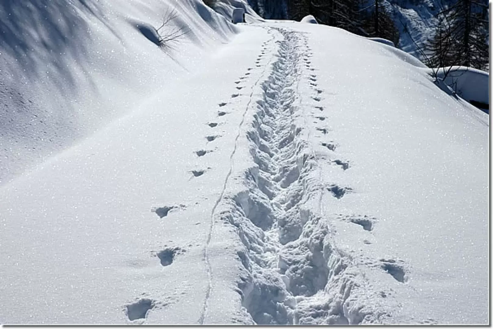
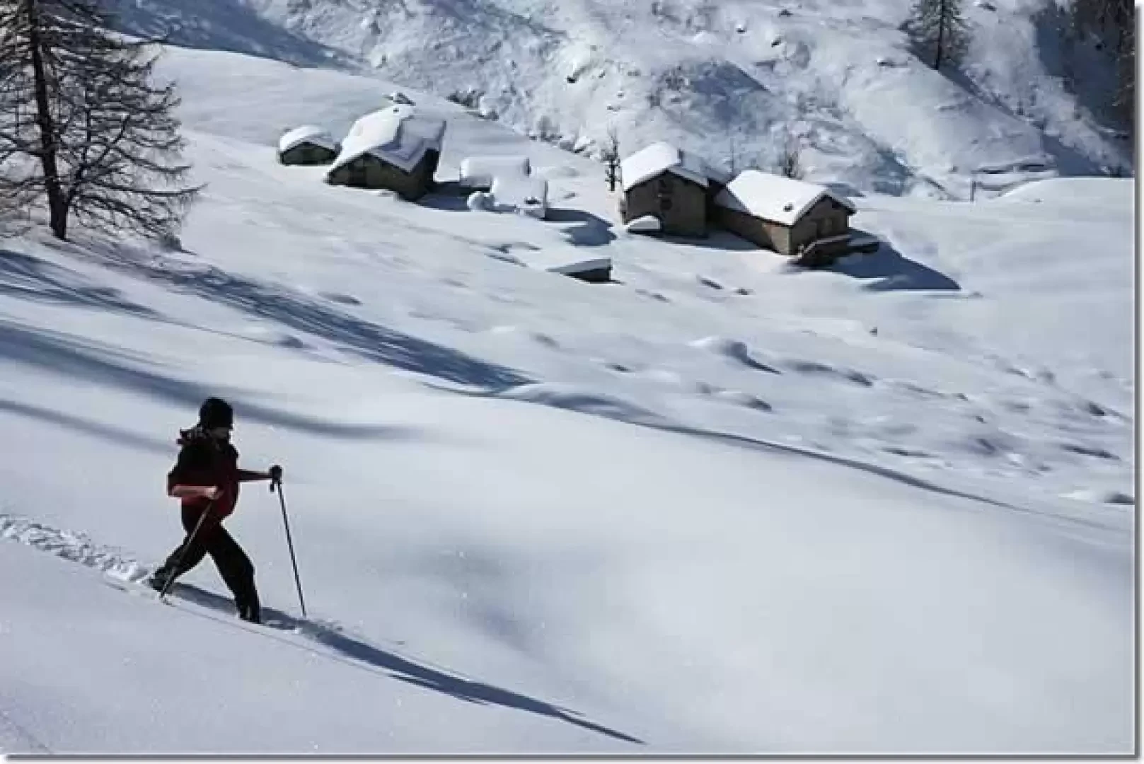
Photo gallery
Comments (0)
Sign in to leave a comment