Dondena Refuge, from Mont Blanc

Edited by:
Massimo Martini
Updated at: 04/05/2025
Access
Leaving the motorway at the Pont-Saint-Martin tollgate, after 100m turn left to follow the state road in the direction of Aosta. After 500 metres, take the second exit at the roundabout and continue on the state road for 3 kilometres to the next roundabout. Take the second exit and follow the regional road in the Champorcher Valley. Continue on the regional road for 14.7 kilometres up the valley and through the villages of Hône and Pontboset before reaching Château, the centre of Champorcher. Turn right, following the signs for Dondena and climb up the little communal road to Mont Blanc, where snow clearance normally stops.
[0h39'] - [25.3km]
How to get there with GMaps
How to get there with Apple Maps
Introduction
Beautiful walk in the upper Champorcher Valley. An itinerary without an excessive difference in altitude but with some length to be tackled only in perfect snow conditions, as the route crosses sections prone to avalanche falls.
Description
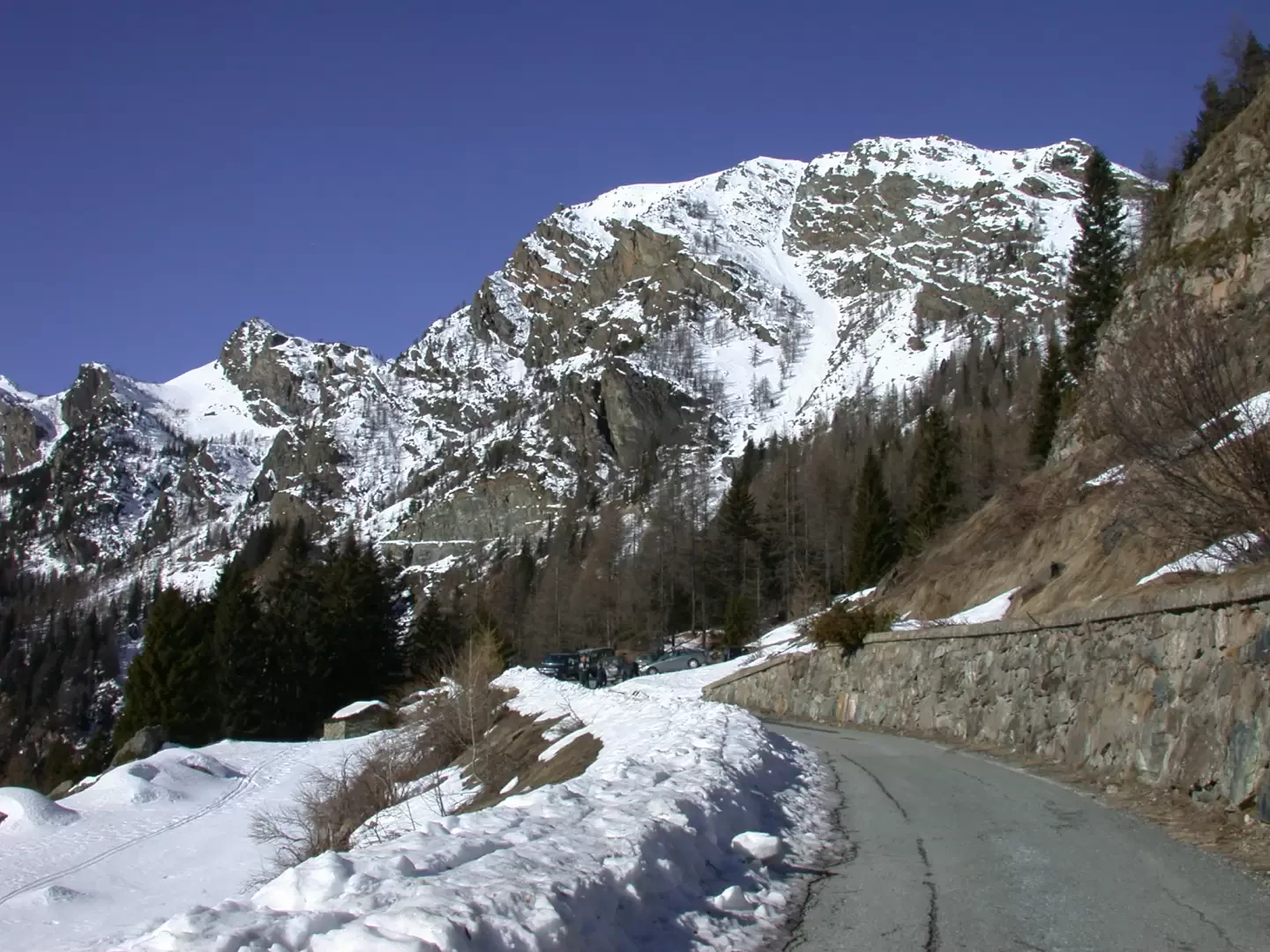
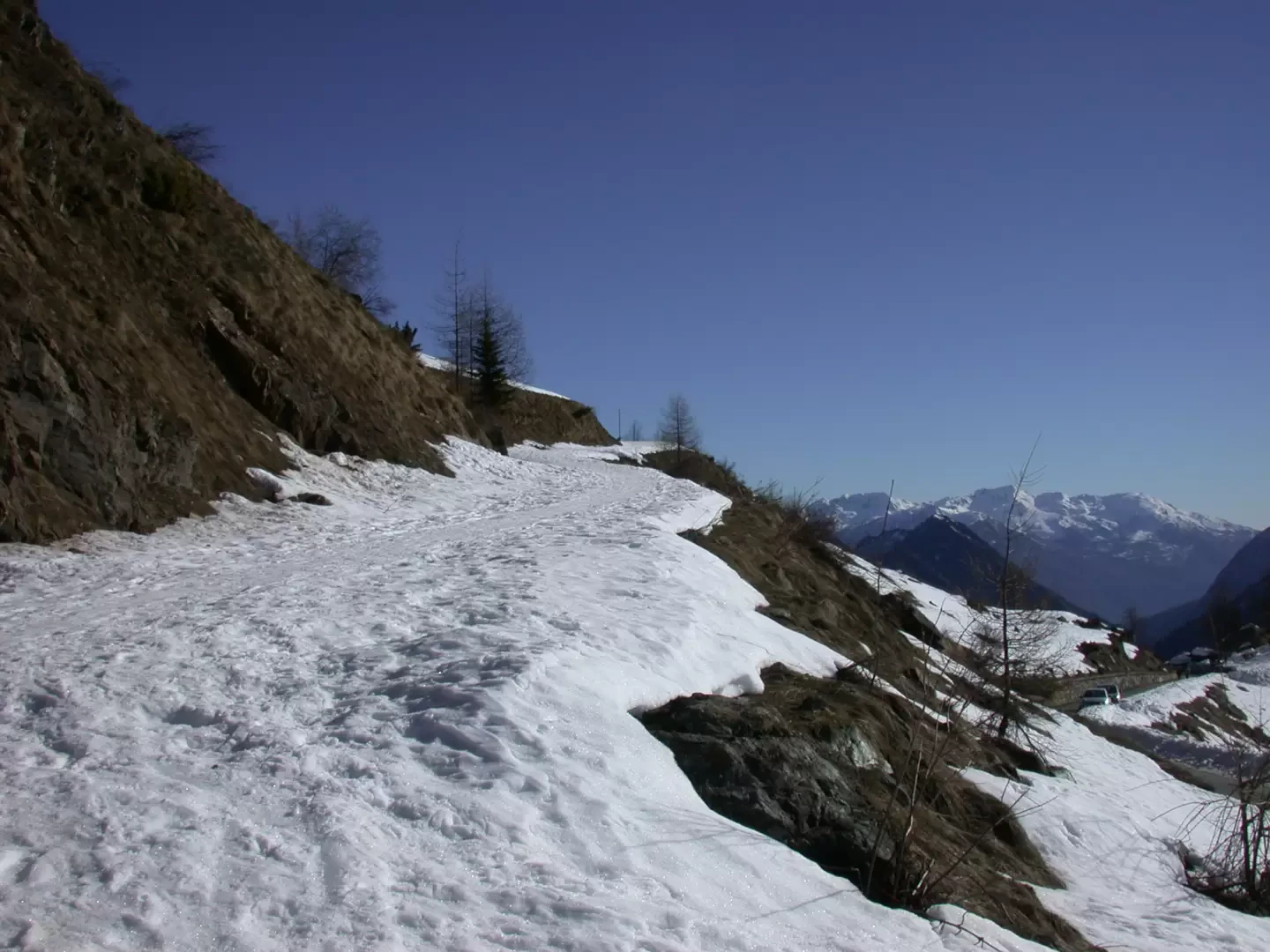
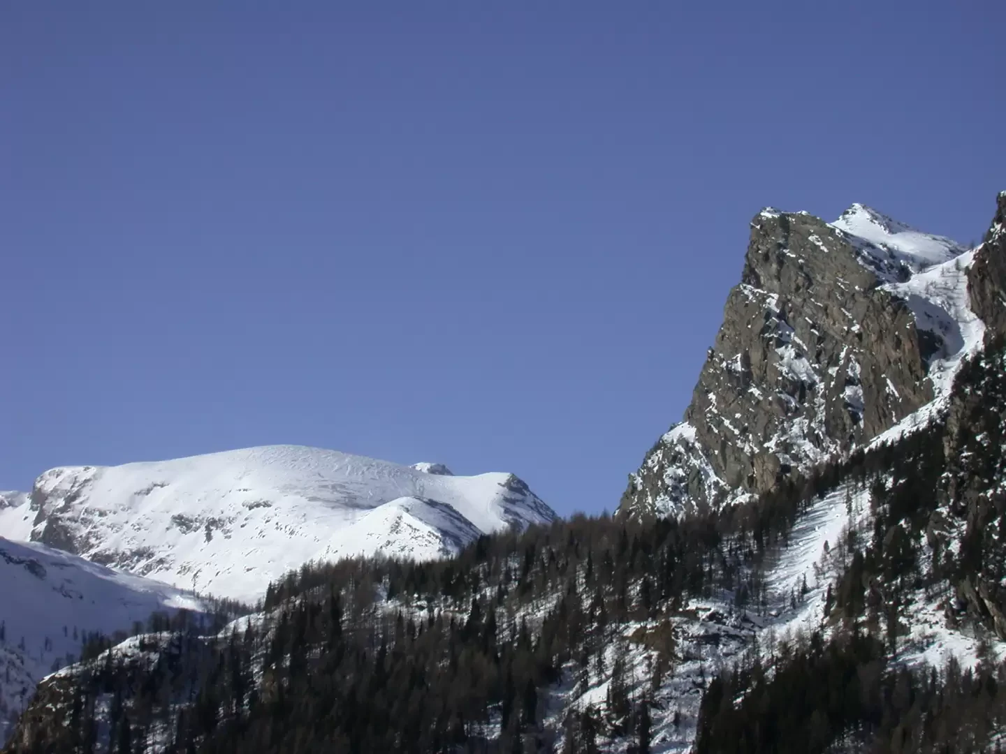
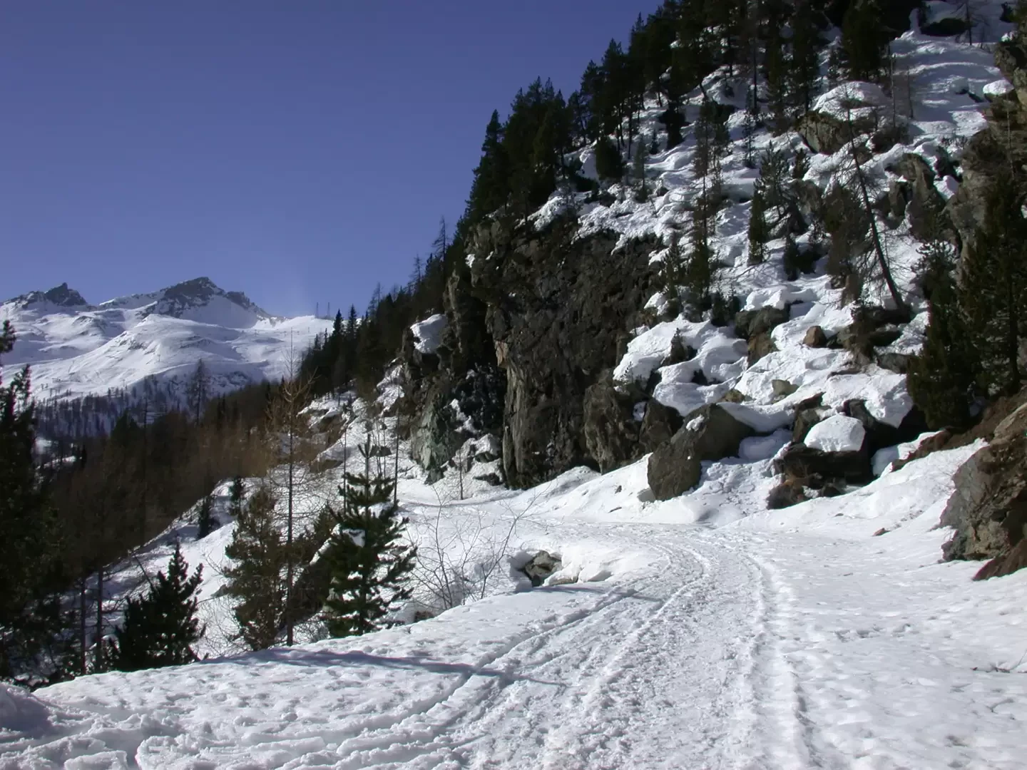
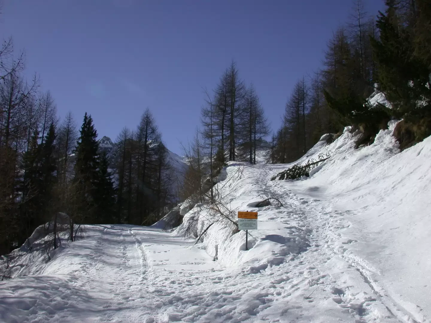
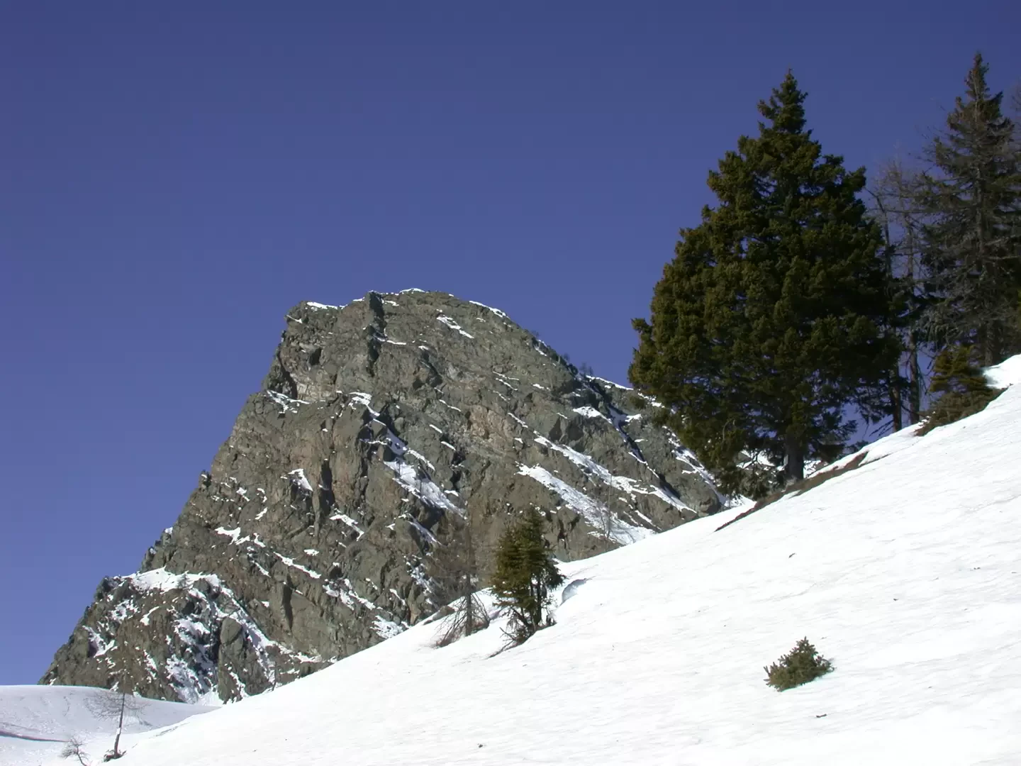
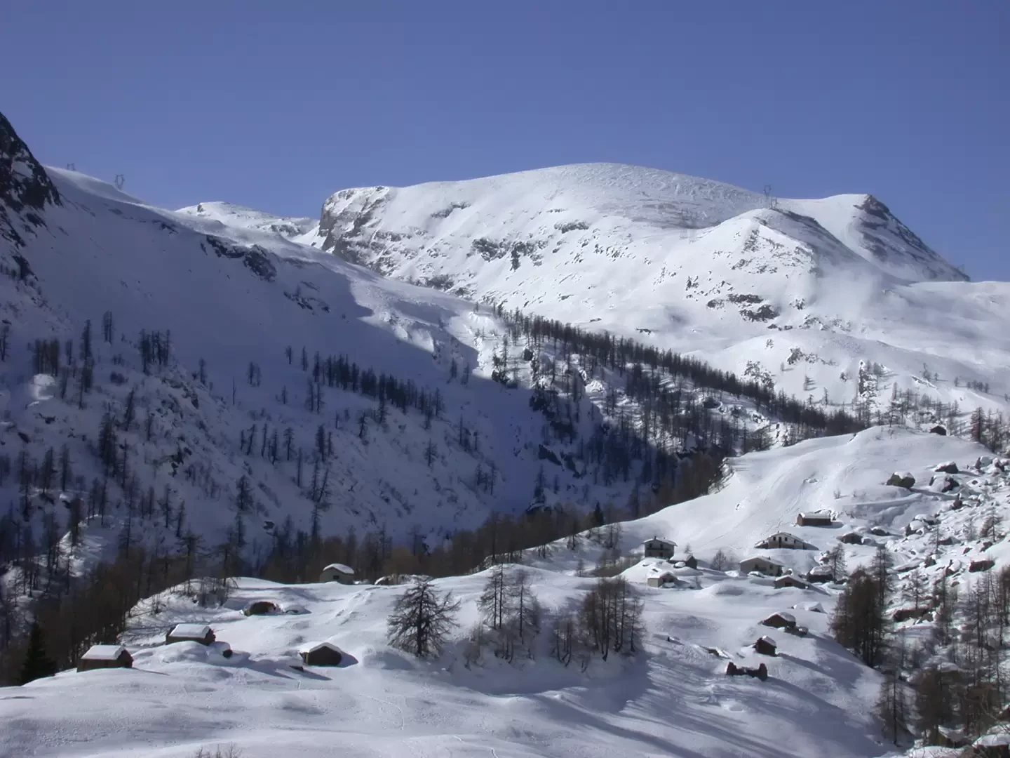
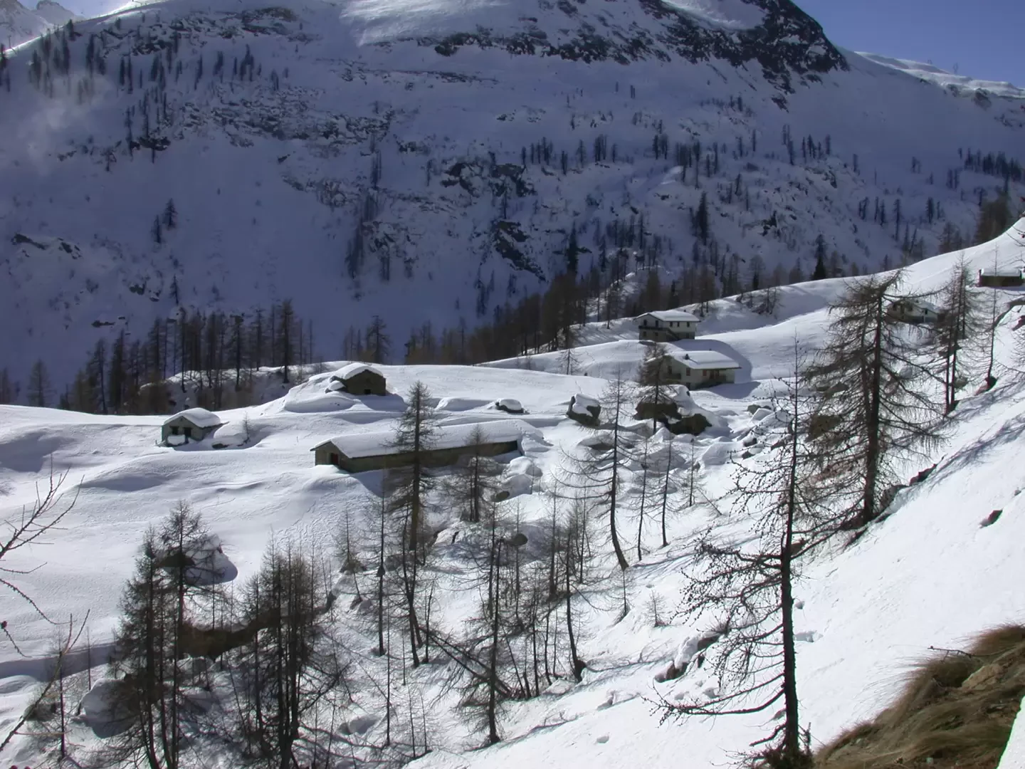
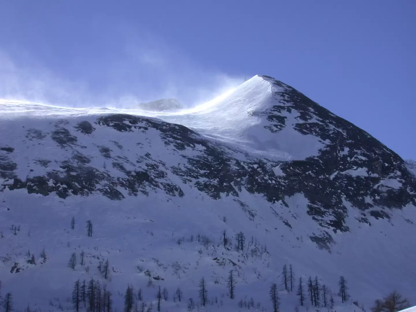
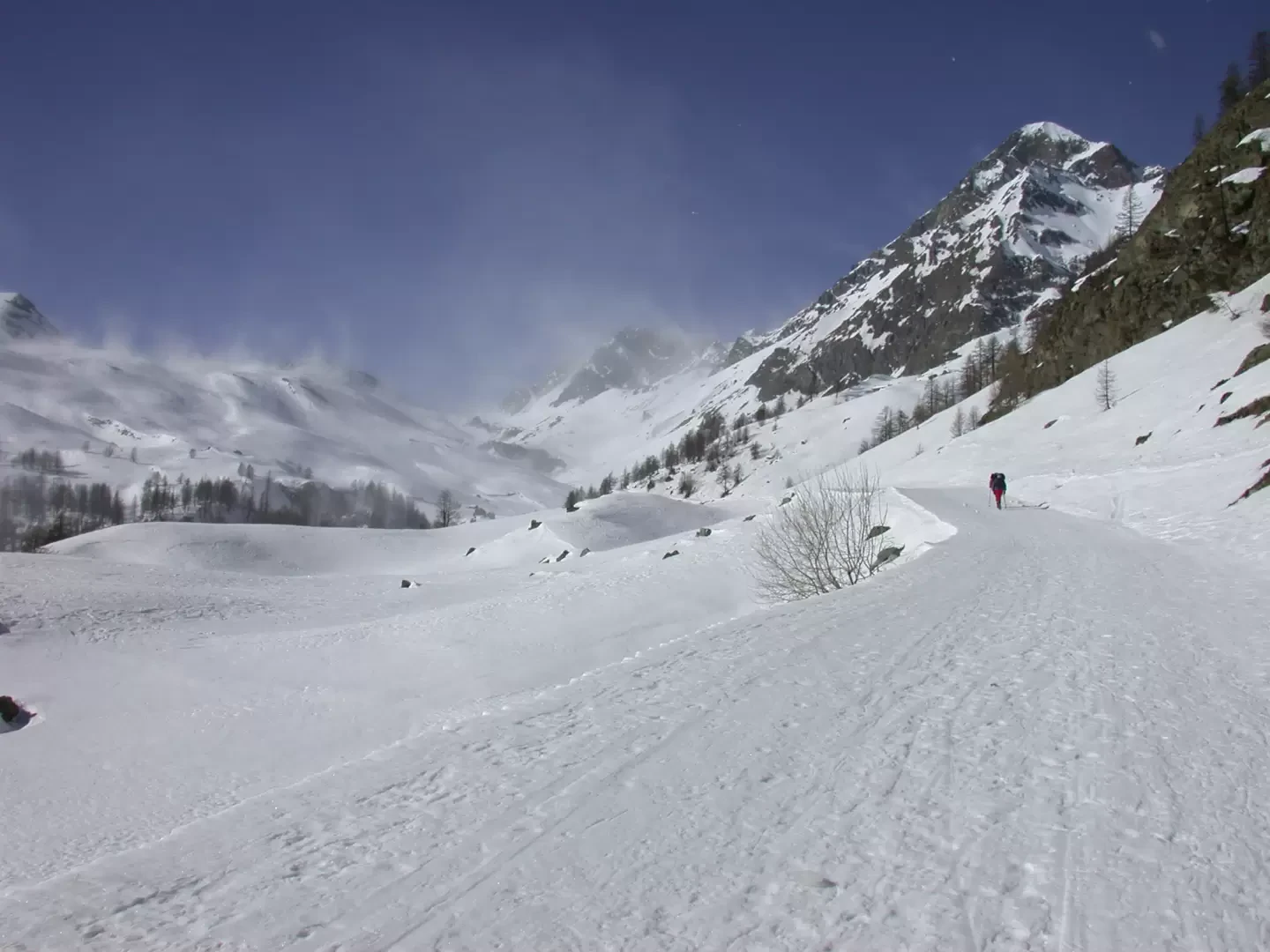
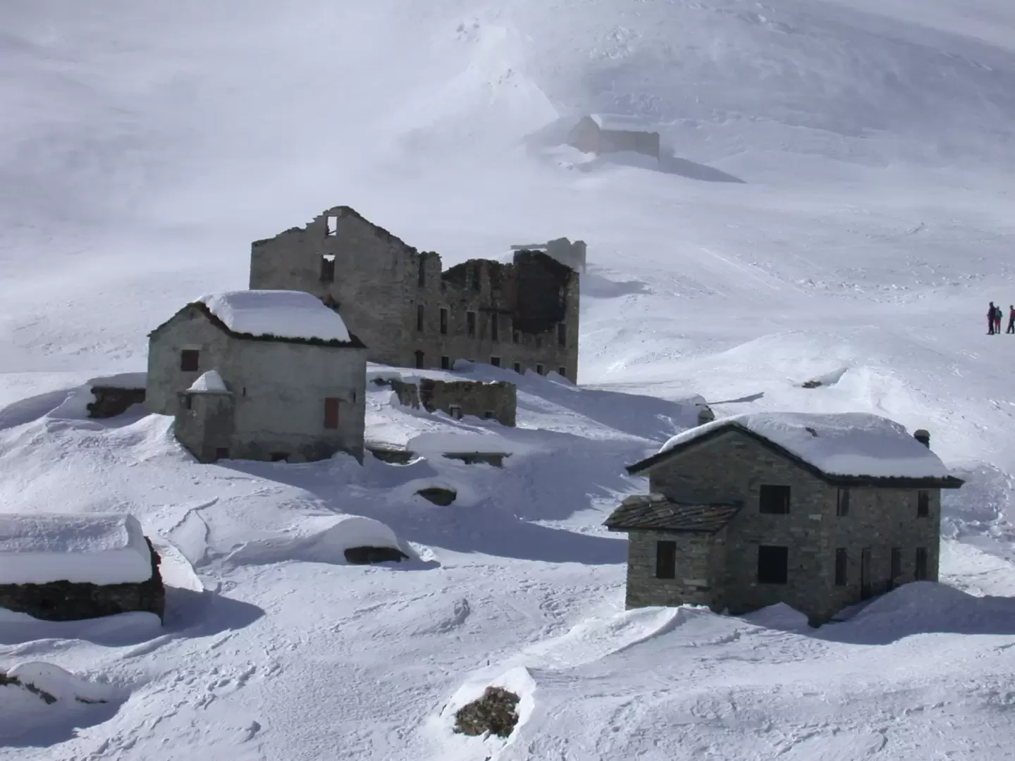
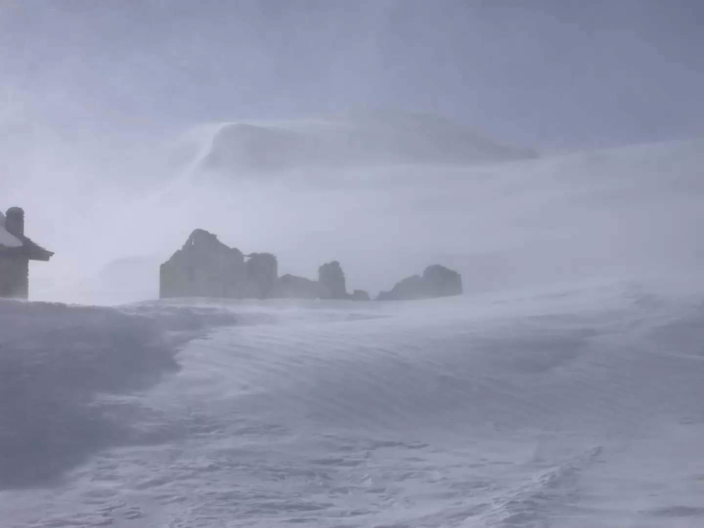
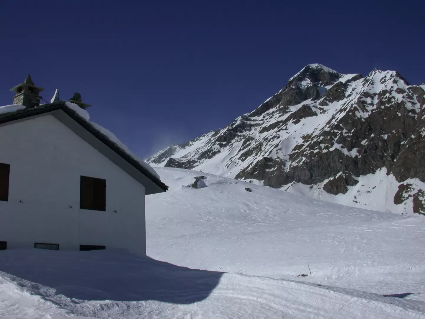
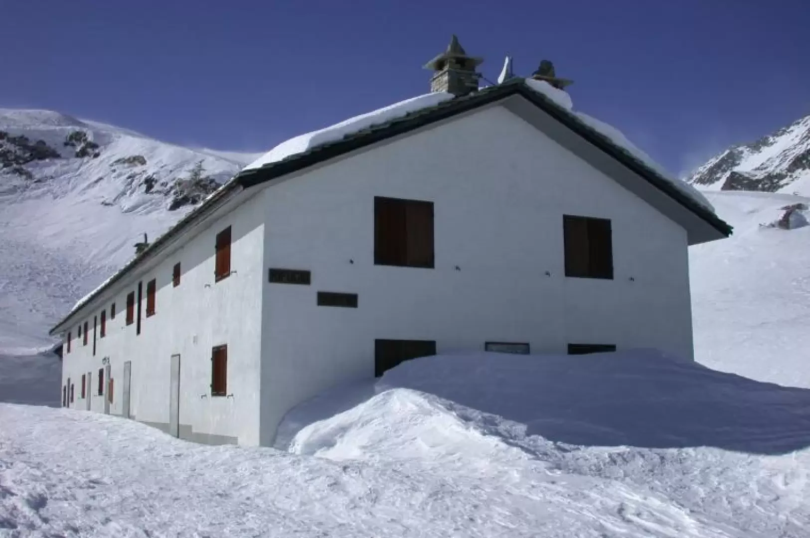
Leaving the car in the car park, continue along the road - snowshoes in hand - for a few hundred metres until you reach a hairpin bend on the right: from here, the road is usually snow-covered and you can start the route. Put on snowshoes and walk along an initial section of the track, heading towards the valley floor, before turning 180° at a hairpin bend on the left and beginning to enter the Ayasse valley. The trail follows the farm road that leads to Dondena in the summer, and after a few minutes' walk you reach the starting point of the path to the Barbustel hut (1782m, 0h15'): ignore, of course, the diversions to the right for the hut and continue along the track passing below the buttresses of Mont Ros and Bec Barmasse. After crossing a few avalanche couloirs, taking great care in loose snow conditions, continue slightly uphill in a westerly direction until reaching the turnoff for Lake Raty (1915m, 0h30'). We continue along the main track, which shortly afterwards turns slightly to the right, offering us a beautiful view of the imposing rock face of Bec Raty. Slowly the valley opens out, the snowy panettone of Cimetta Rossa appears on the left and, just below our route, the village of Champlong. Having passed the alpine pasture of Grand Letuiri (1h45'), the track extends, still slightly uphill, to the starting point of the summer itinerary to Lake Miserin: here there are a series of posts indicating the various paths that can be taken and a beautiful map of the area, and both Dondena and the refuge located just above it are clearly visible. Descend for a few metres until you cross the Ayasse stream and then climb up again, crossing the ruins of the Albergo Alpino to reach the Dondena hut (2193m, 2h15') The descent follows the same route as the ascent (1h45'). The route is mainly exposed to the south and crosses some avalanche couloirs: caution is advised and, above all, consult the snow and weather bulletins before setting off!
Riferimenti Bibliografici
- Tracce Lievi - Martini Massimo -
Galleria fotografica